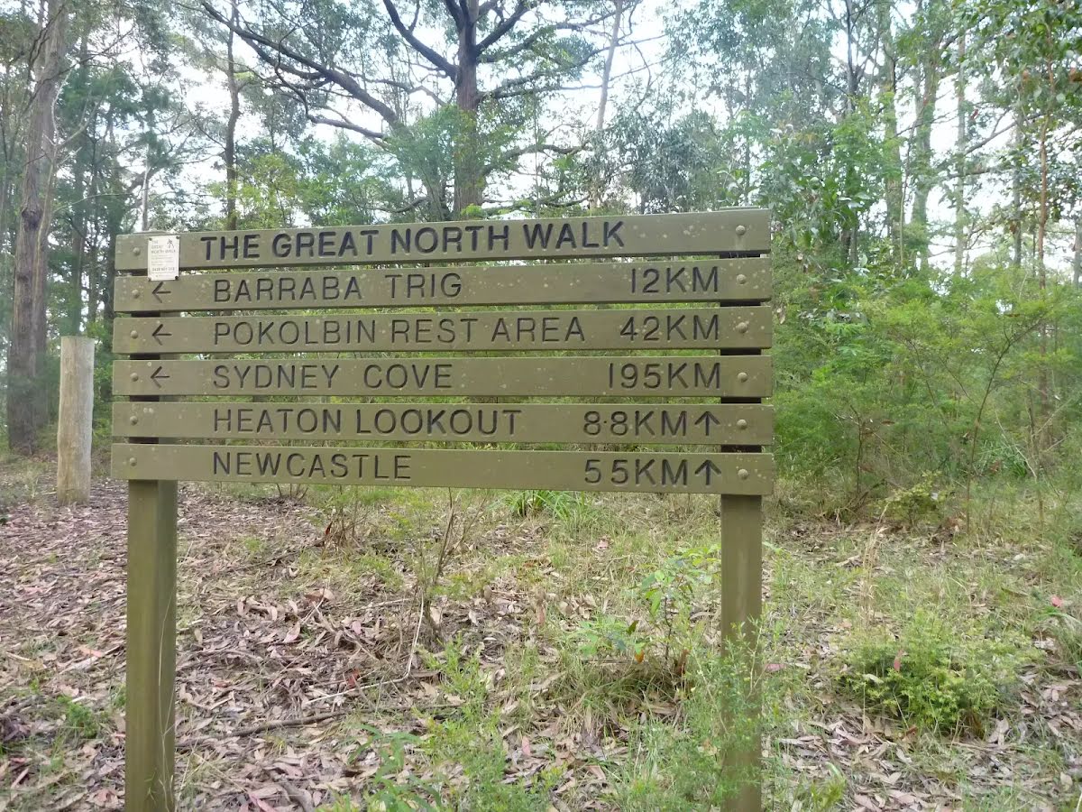
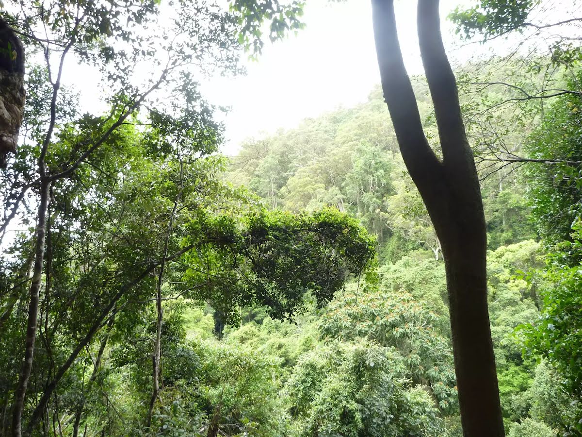
This walk starts from the Watagan Forestry HQ Campsite and follows the Great North Walk through the Watagan State Forest. The walk then heads out to Heaton lookout and down the long descent into Heaton Gap, passing several more fantastic lookouts and picnic areas on the way. The walk finishes at Heaton Gap on Freemans drive, just opposite the Watagan Forest Motel. Let us begin by acknowledging the Awabakal people, Traditional Custodians of the land on which we travel today, and pay our respects to their Elders past and present.
Before you start any bushwalk ensure you;
• Tell someone you trust where you are going and what to do if you are overdue
• Have adequate equipment, supplies, skills & knowledge for the whole journey
• Consider the impact of weather forecasts, park/track closures & fire dangers
• Can respond to emergencies & call for help at any point
• Are healthy and fit enough for this journey
If not, change plans and stay safe. It is okay to delay and ask people for help.
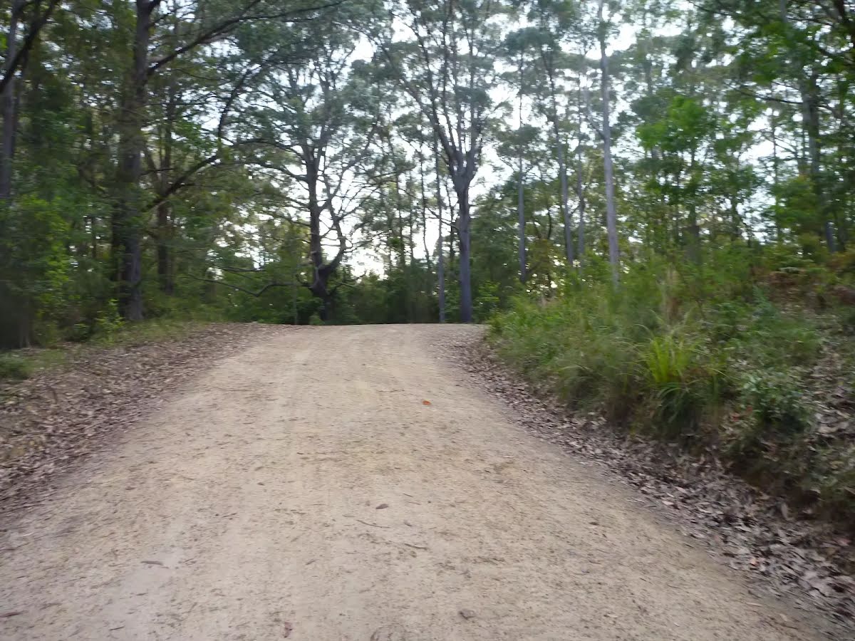
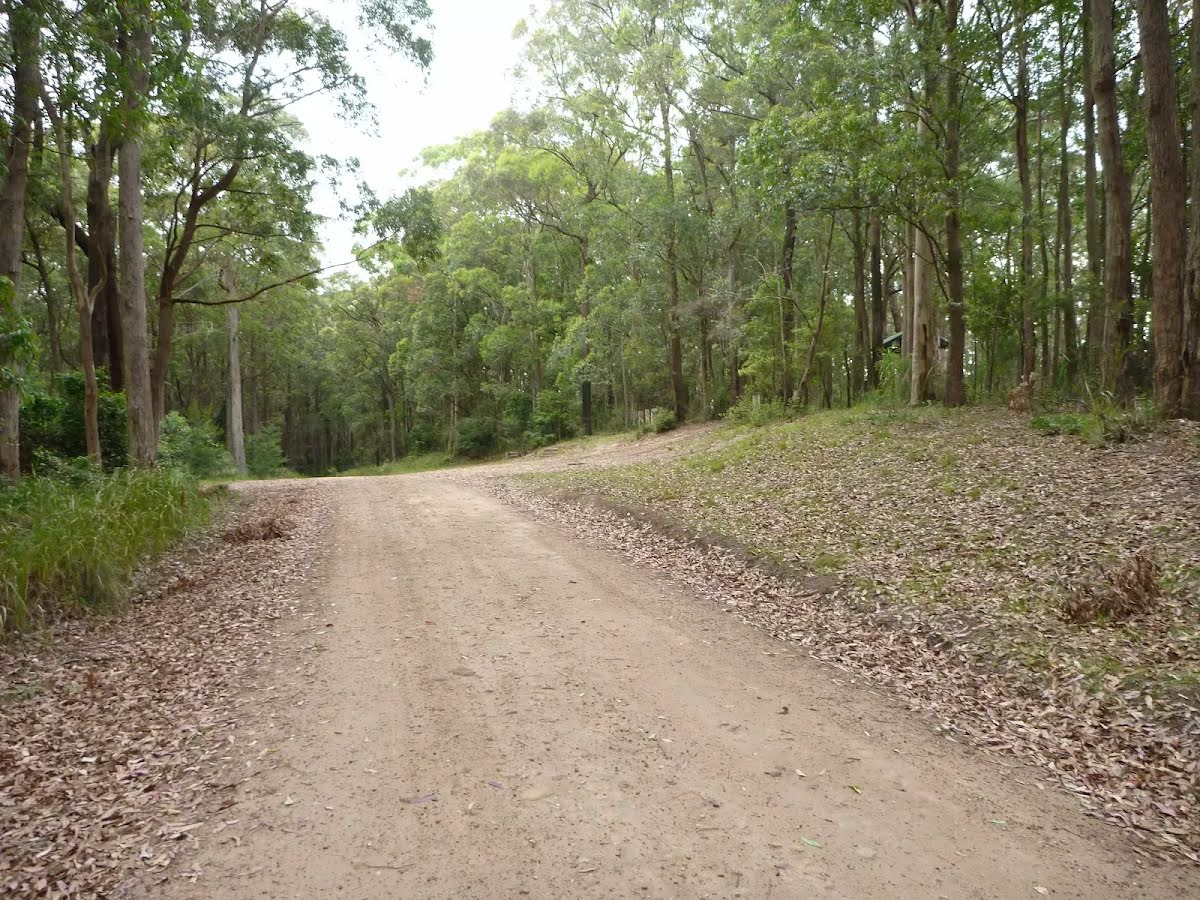
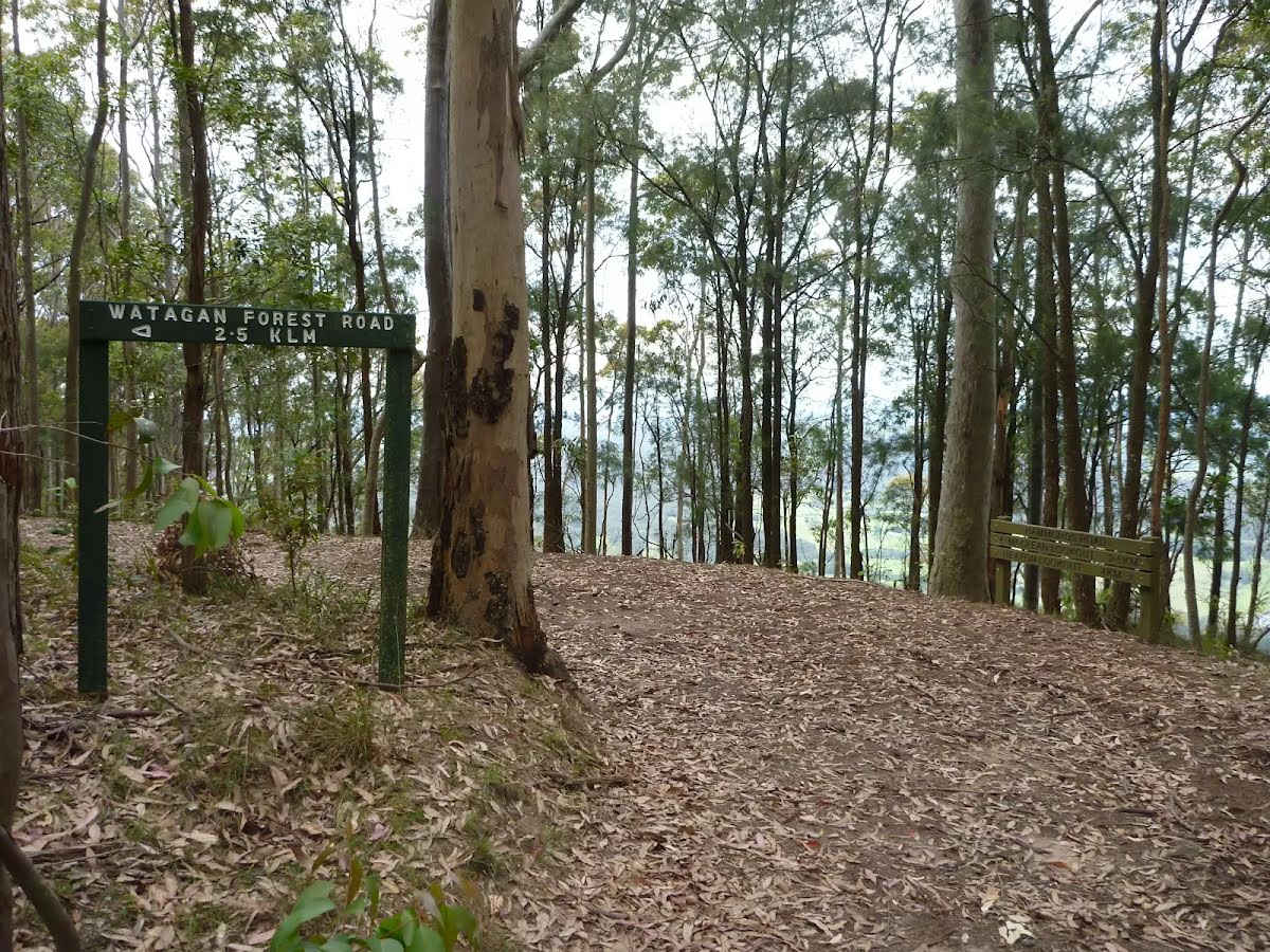
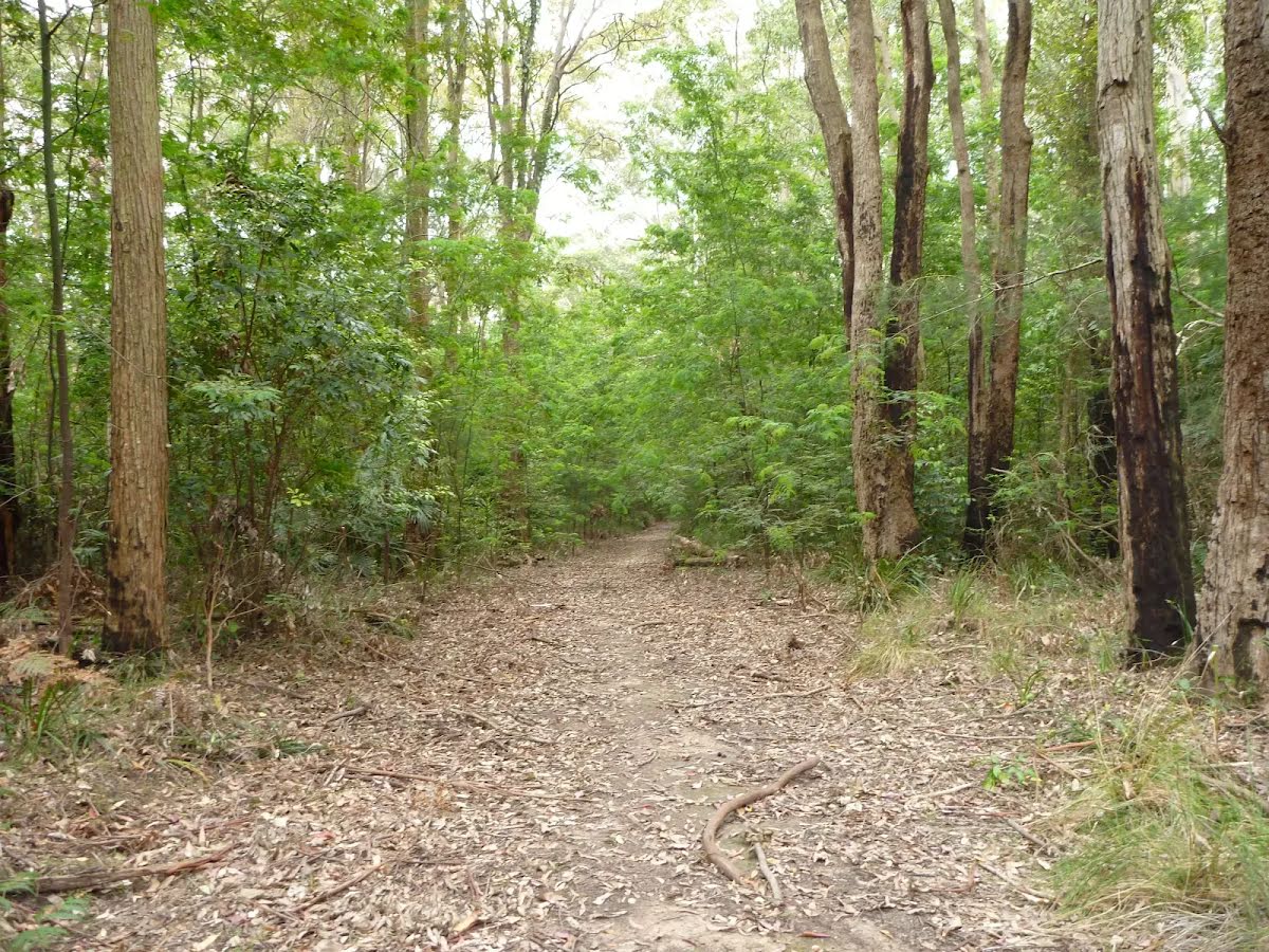
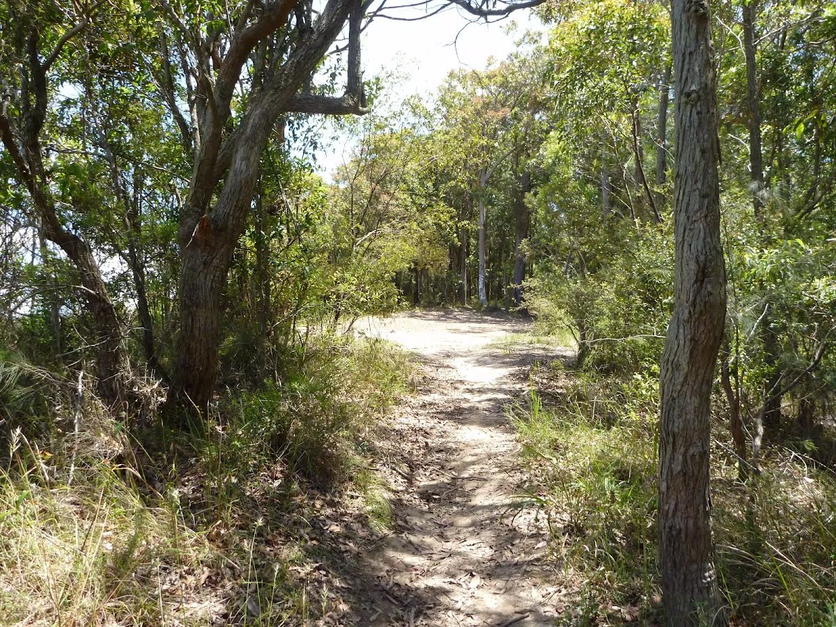
Getting started From the intersection (Forestry H.Q. campsite), this walk follows Bakers Road gently downhill, while keeping the GNW arrow marker on your right and the large 'Great North Walk' sign on your left. The walk continues, undulating gently for about 900m until coming to a three-way intersection with Rocky Creek Road (on the right).....
Turn map
Directions & comments
From the Bakers Road Start heading along Bakers Road (a service road).
Then come to the "Watagan Headquarters Camping Area" (35 m on your left).
This is a free campsite.
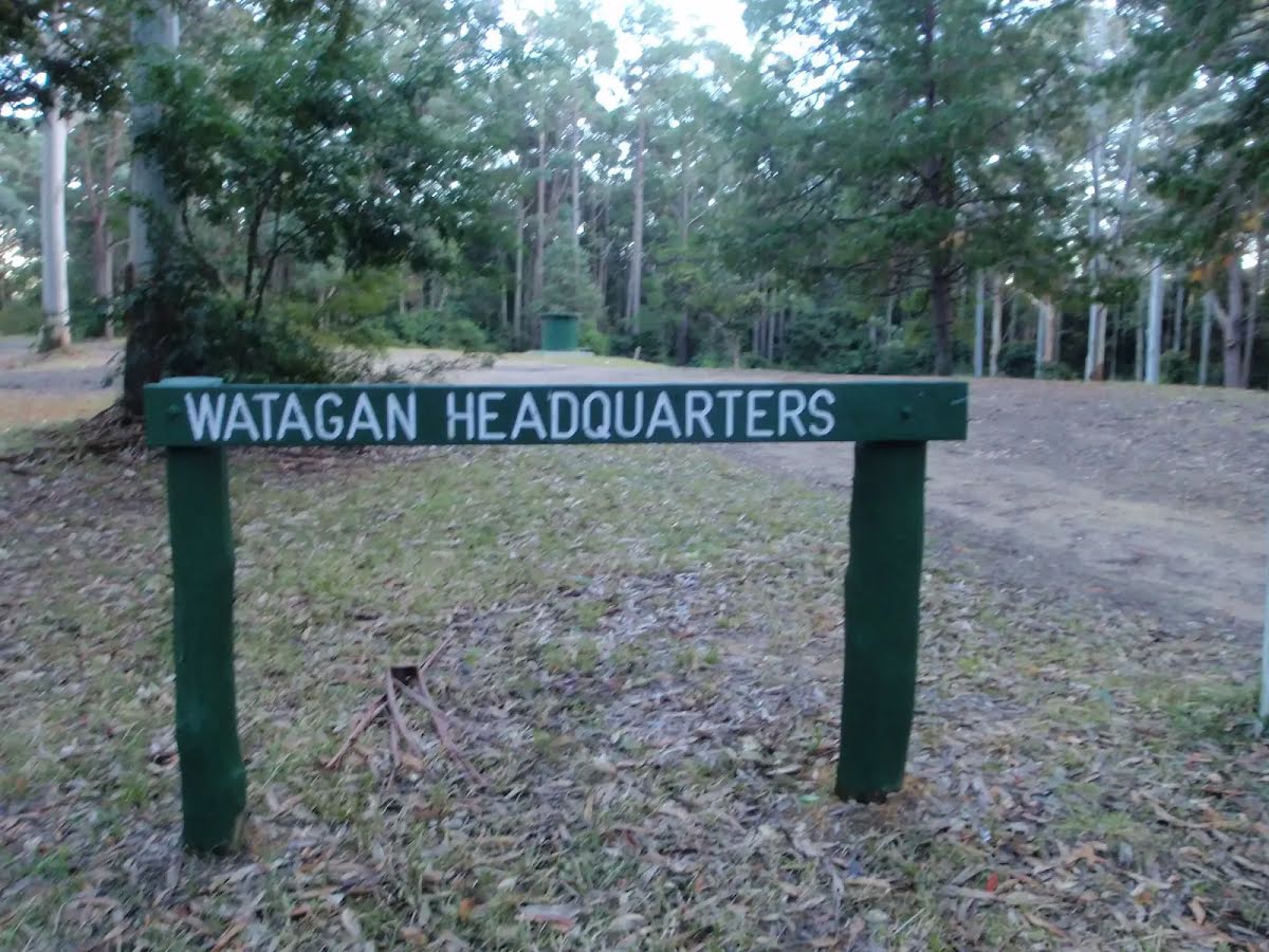
Then find the "Watagan Headquarters" (55 m on your left).
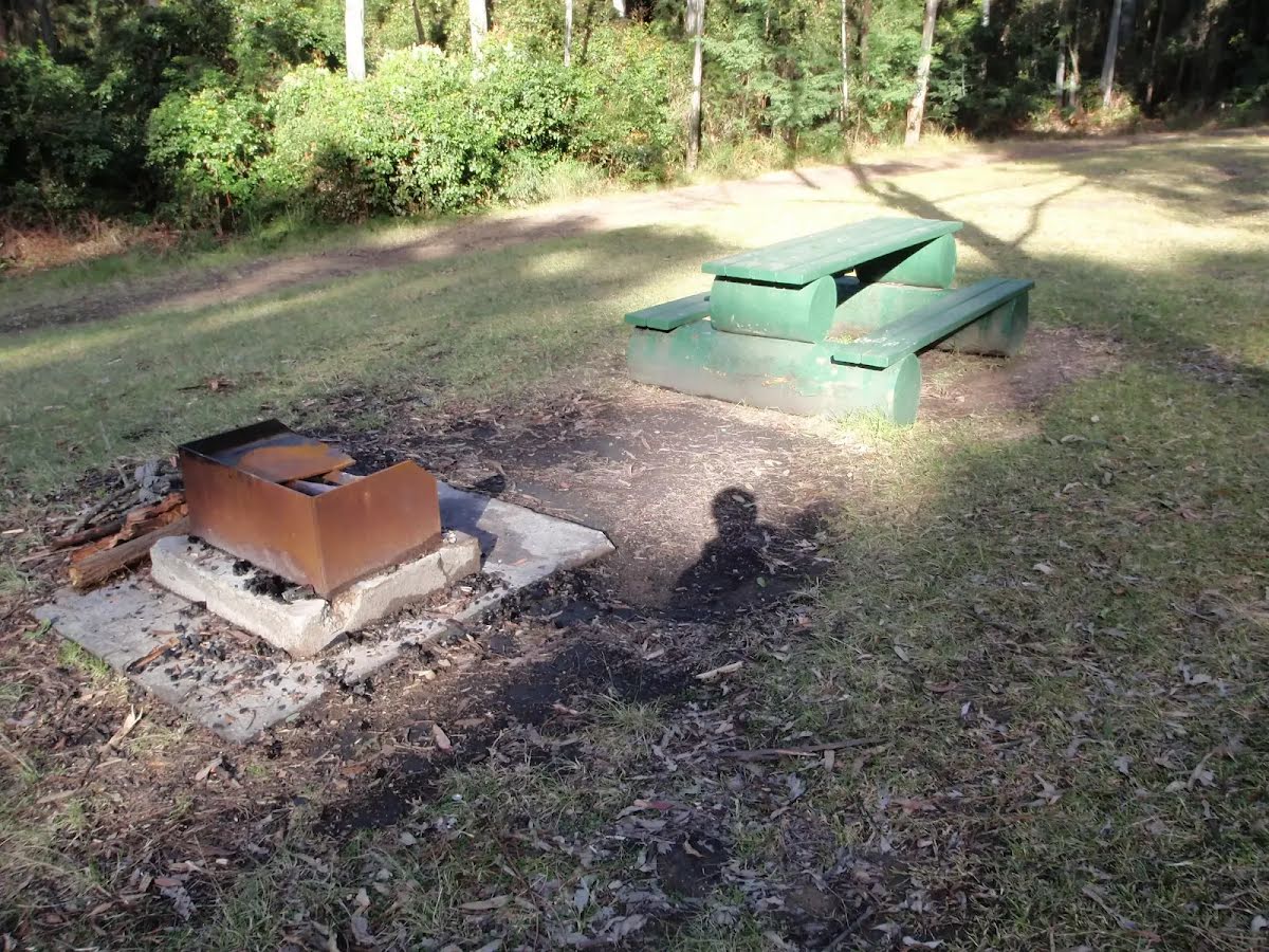
Watagan Headsquarters campsite (aka Forestry HQ) is located in the Heaton State Forest, beside Bakers Rd, near Heaton Rd. This campsite has wood fired barbecues, picnic tables and a garbage bin. The large, flat, cleared area allows plenty of room to pitch a tent. In 2010, a series of vandalism attacks occurred on the water tank, so there is no longer water available.
Then pass the picnic table (75 m on your left).
After another 960 m (at the intersection of Bakers Road & Rockey Point Road) continue straight, to head along Bakers Road.
After another 400 m (at the intersection of Glen Road & Bakers Road) continue straight, to head along Bakers Road.
After another 180 m (from the Bakers Road) continue straight (a vehicle track).
After another 50 m head through/around the gate.
After another 105 m pass the toilet (6 m on your right).
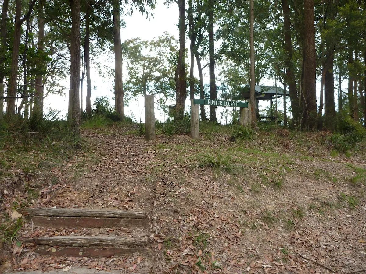
After another 40 m find the "Hunter Lookout" (10 m on your left).
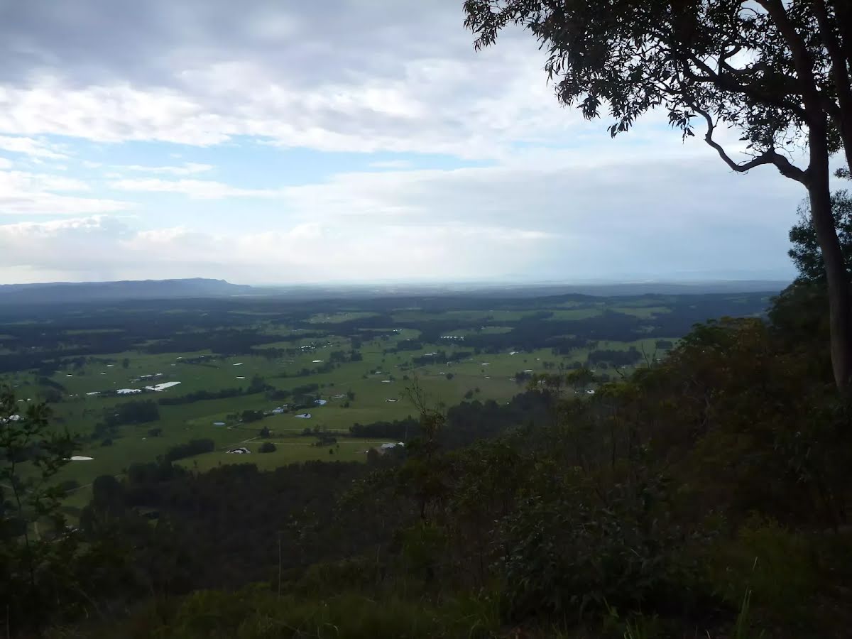
Hunter Lookout can be found on Bakers Road, along the Great North Walk. This fenced lookout has everything you will need snack-stop, including toilets, picnic tables, chairs and wood-fired barbecues. This lookout has fantastic views over much of the Hunter region. In 2010, a series of vandalism attacks occurred on the water tank, so water is no longer available at Hunter Lookout.
After another 15 m pass the picnic table (15 m on your left).
Continue straight.
After another 30 m pass the car park (30 m on your right).
After another 40 m head through/around the gate.
From the Bakers Road continue straight, to head along Bakers Road (a service road).
After another 440 m (from the Bakers Road) continue straight, to head along Bakers Road.
After another 390 m to find the car park.
Then pass the picnic table (30 m on your left).
Then find the "Mcleans Lookout" (45 m on your left).
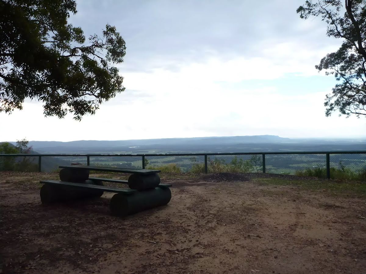
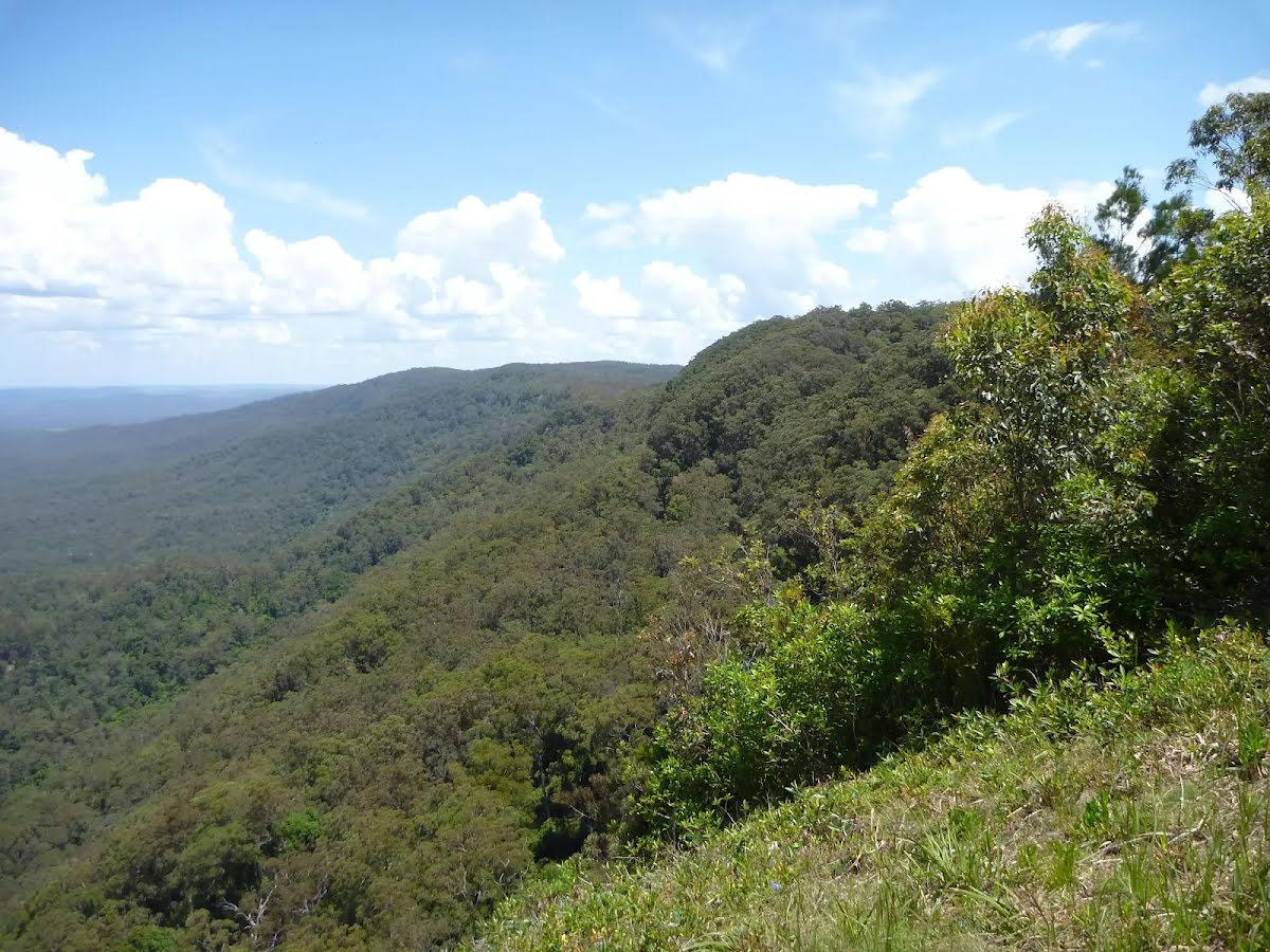
McLeans Lookout offers magnificent views of the valleys in Heaton State Forest. Located on Bakers Road, this fenced lookout also has picnic facilities including tables with seats and open grassy areas.
After another 30 m continue straight.
After another 560 m (at the intersection of Watagan Track & Glen Road) continue straight, to head along Watagan Track.
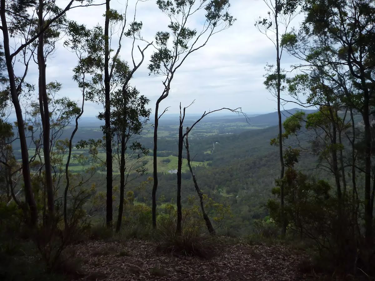
After another 65 m come to the viewpoint (15 m on your left).
After another 720 m (from the Watagan Track) veer right (a vehicle track).
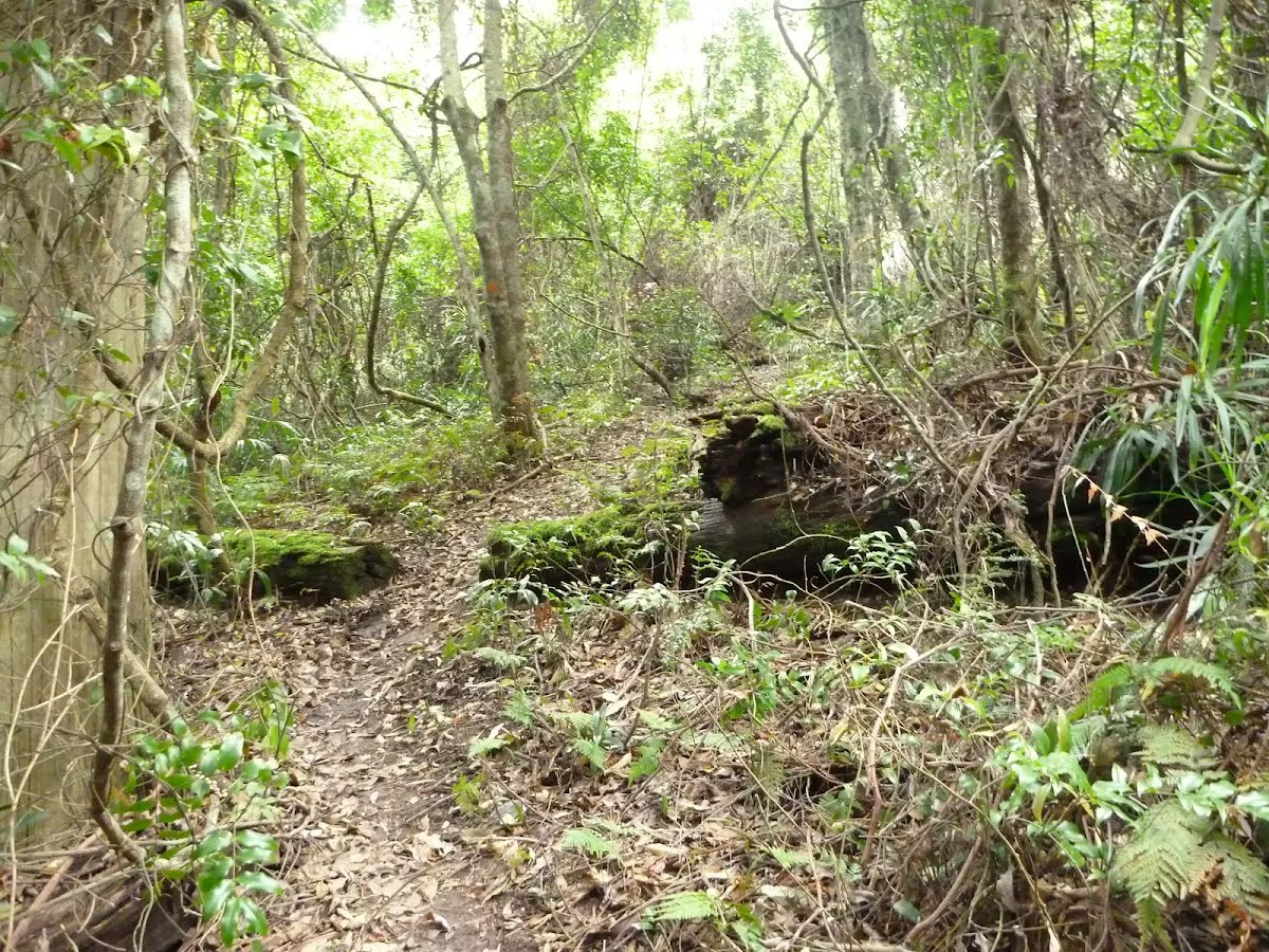
After another 320 m (from the Great North Walk) veer right, to head along Great North Walk (a walking track).
After another 410 m (at the intersection of Great North Walk & Hammonds Road) continue straight, to head along Great North Walk.
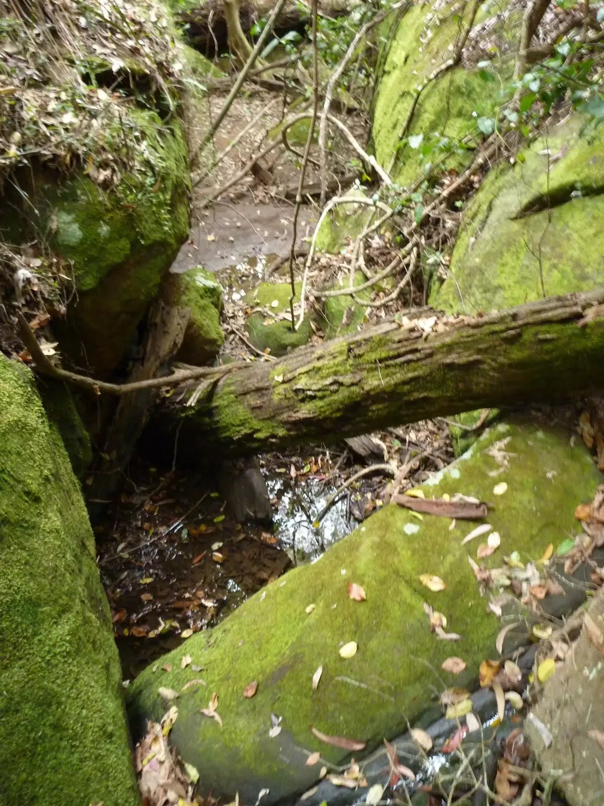
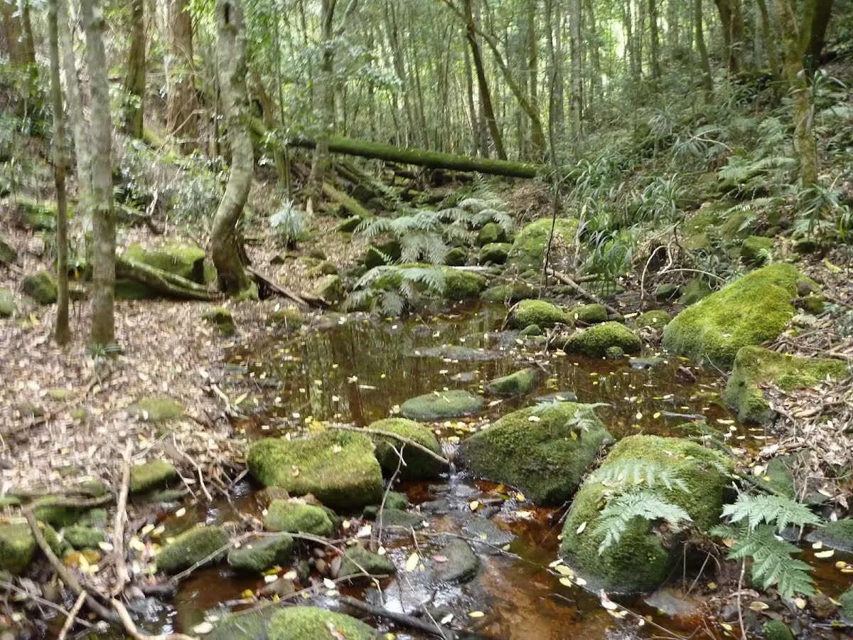
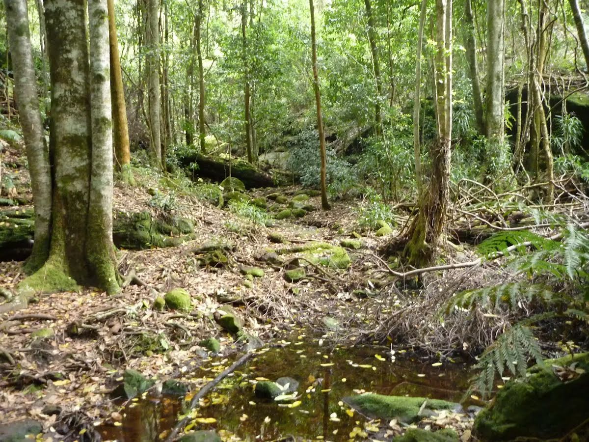
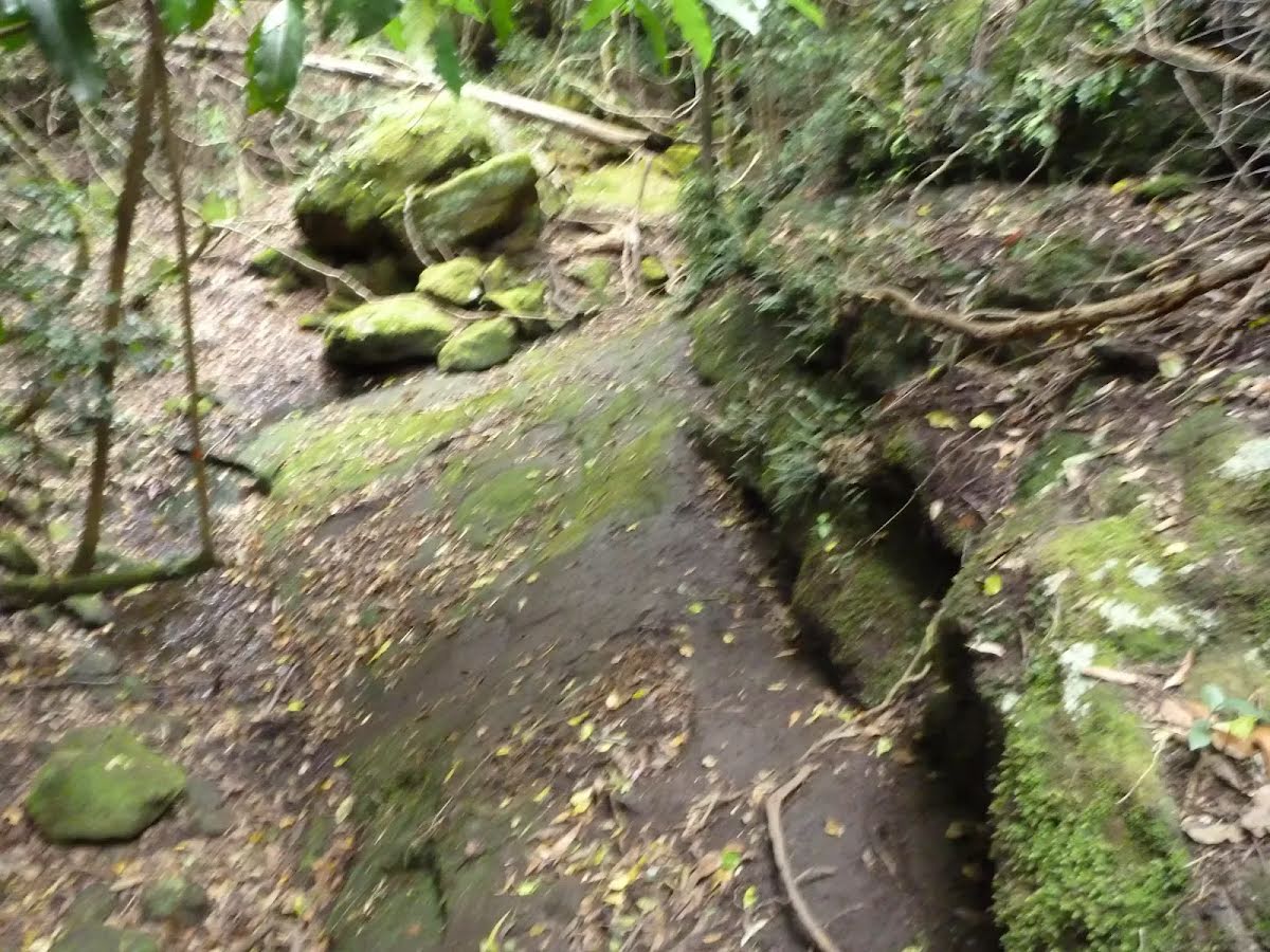
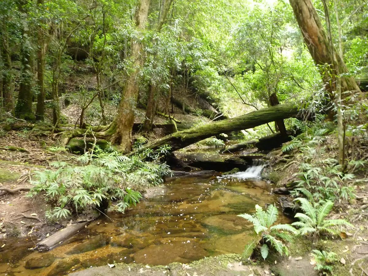
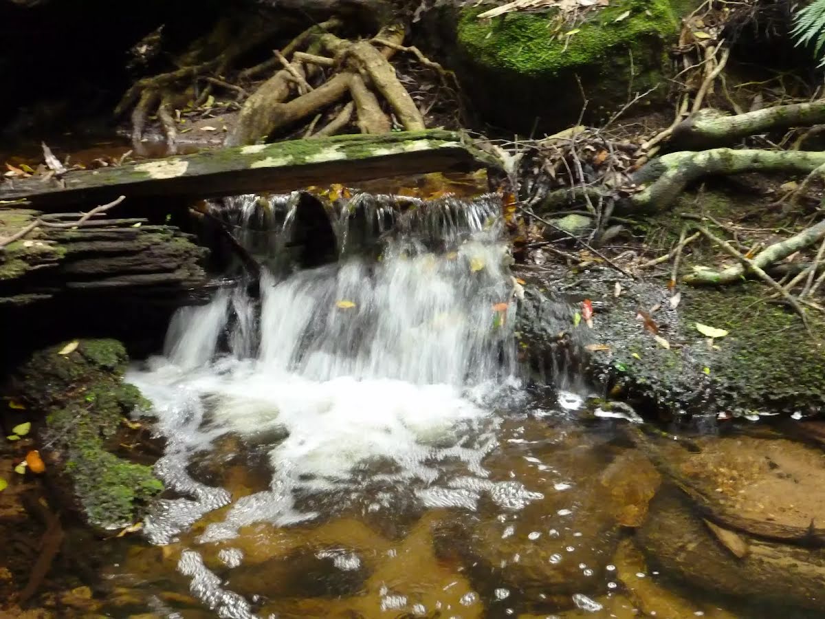
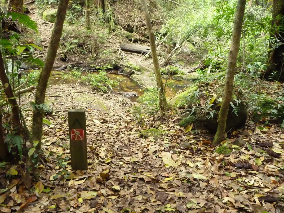
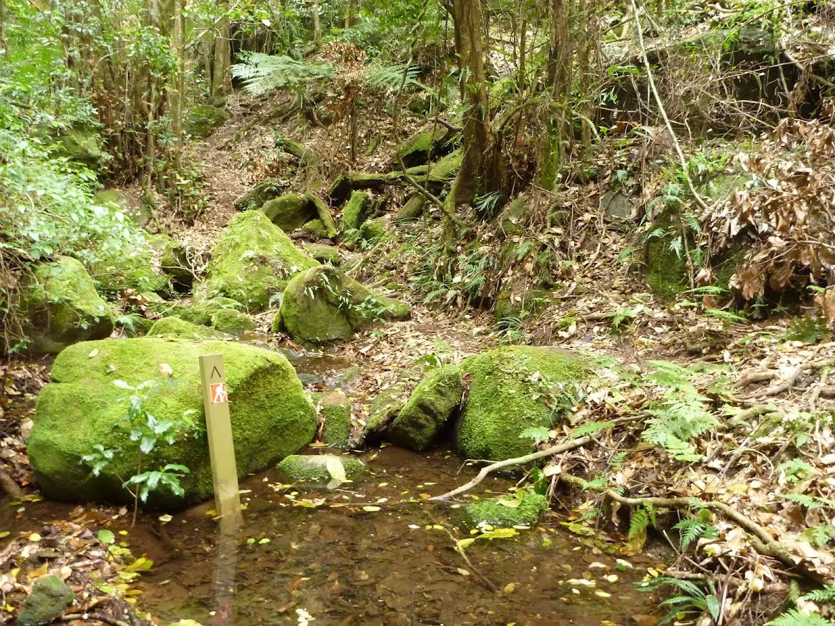
After another 1.4 km cross the ford.
From the Great North Walk continue straight, to head along Great North Walk.
After another 430 m cross the ford.
Then pass the sign.
After another 760 m (at the intersection of Barniers Road & Great North Walk) continue straight, to head along Great North Walk.
After another 1.1 km (at the intersection of Heaton Road & Great North Walk) turn left, to head along Heaton Road (a vehicle track).
Then to find the car park.
After another 210 m pass the picnic table (20 m on your right).
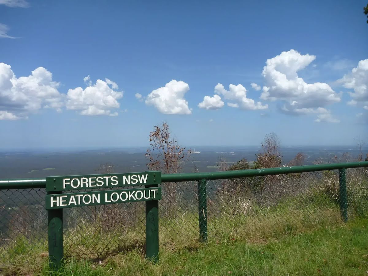
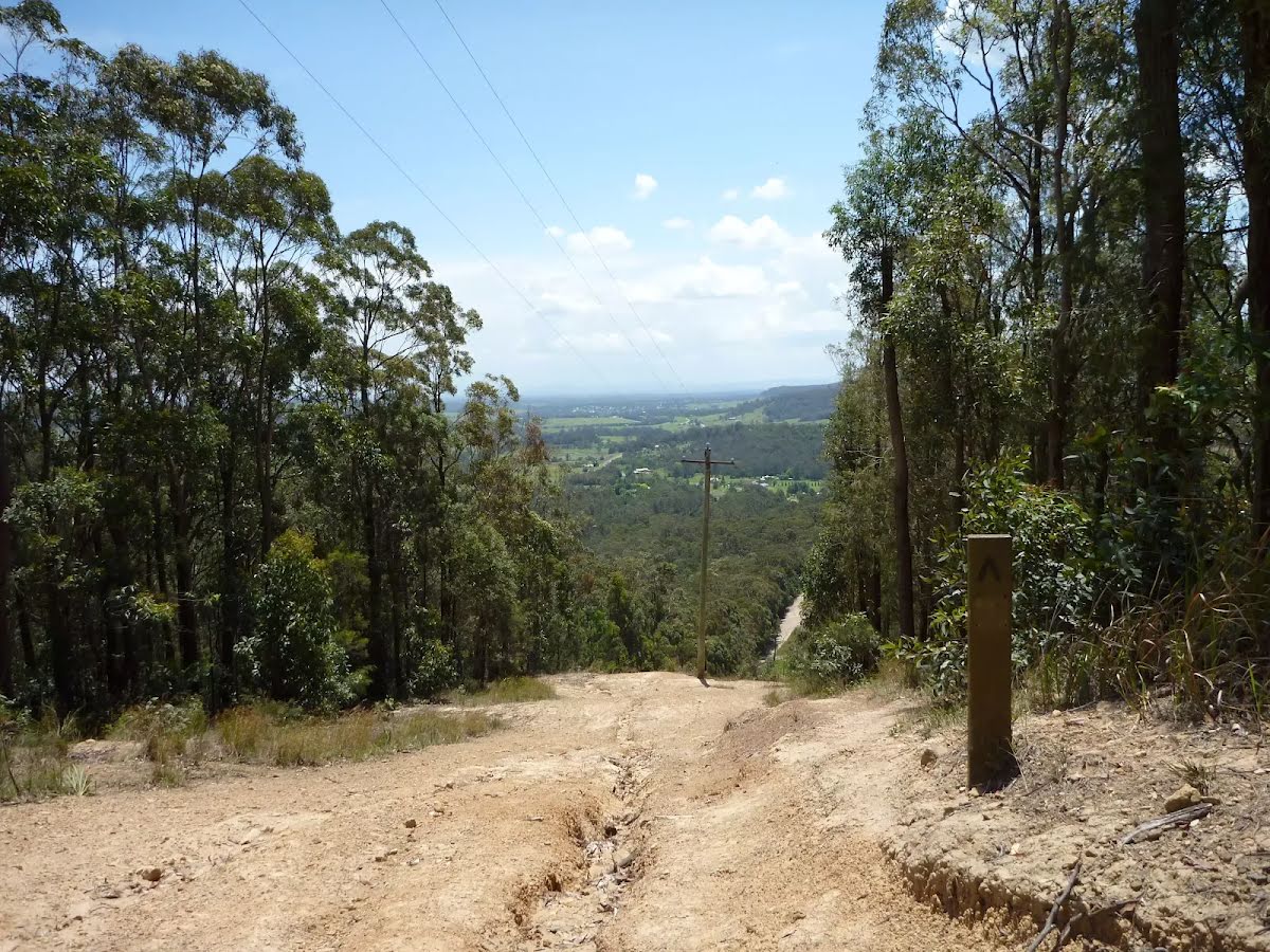
Then find the "Heaton Lookout" (20 m on your right).
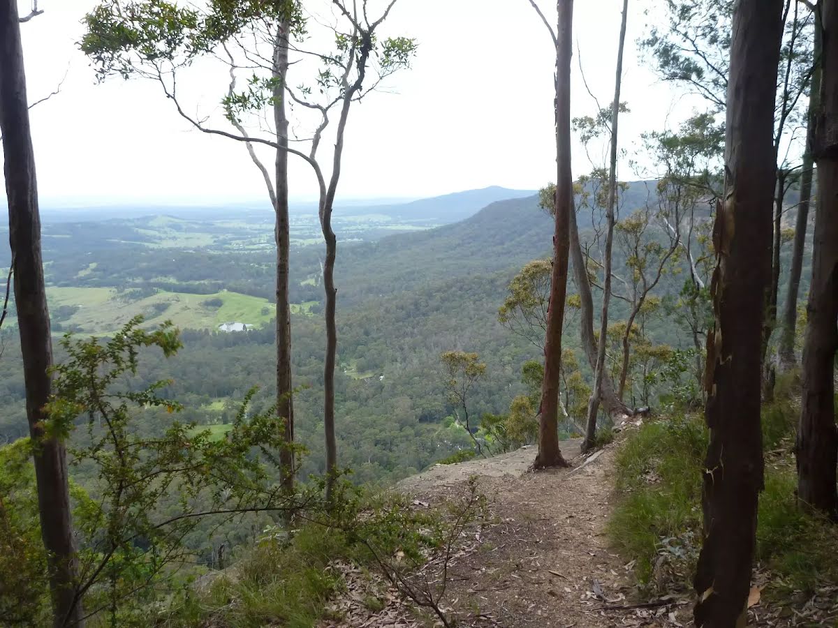
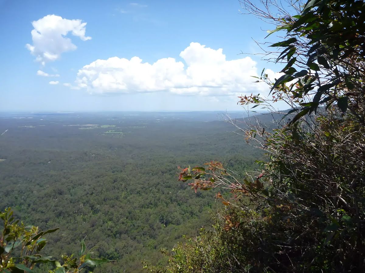
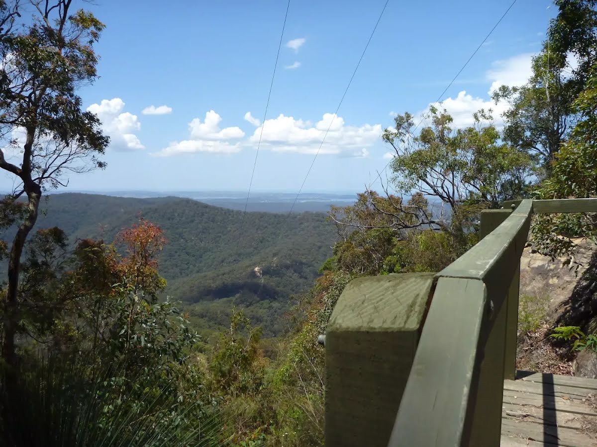
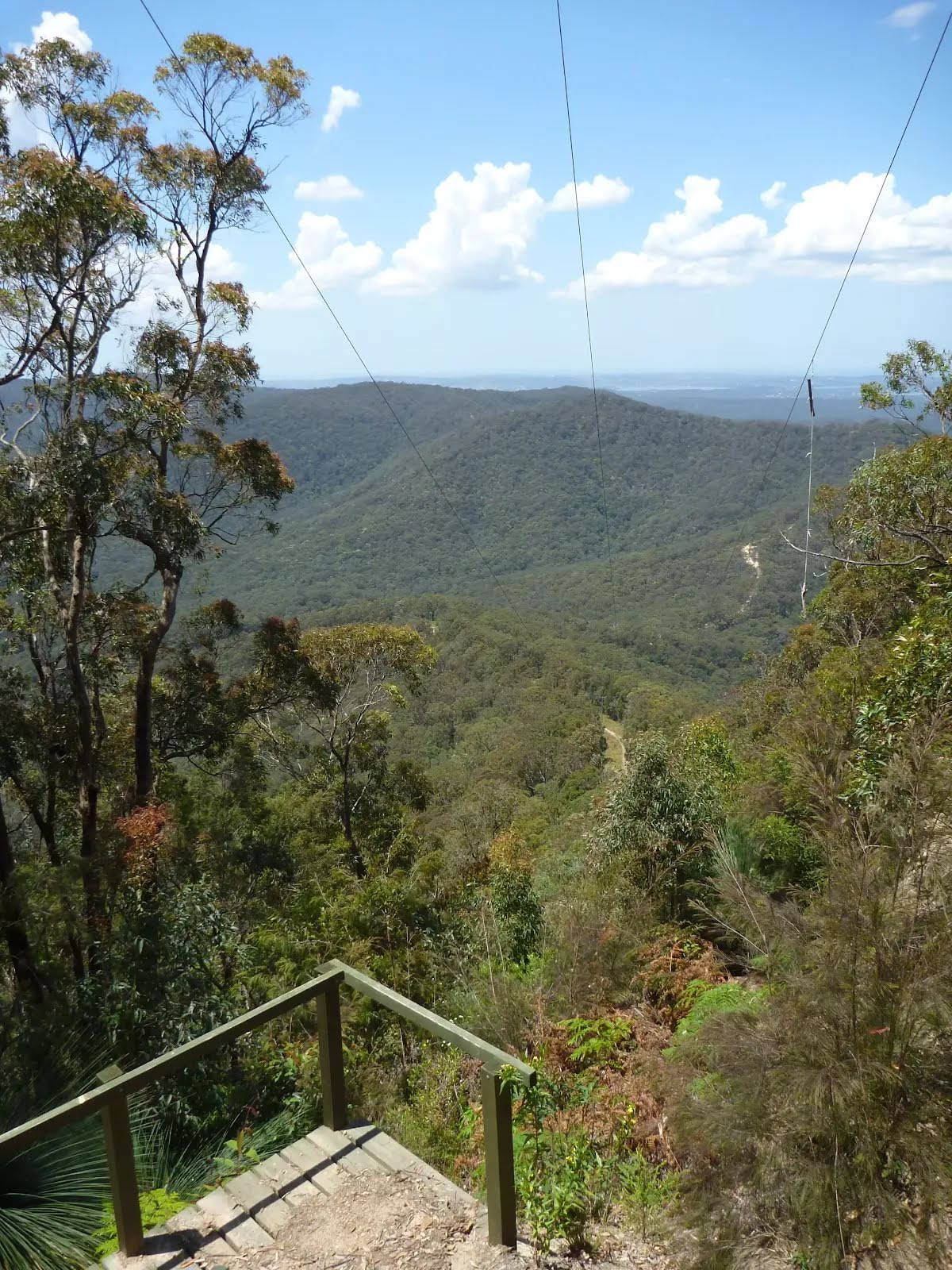
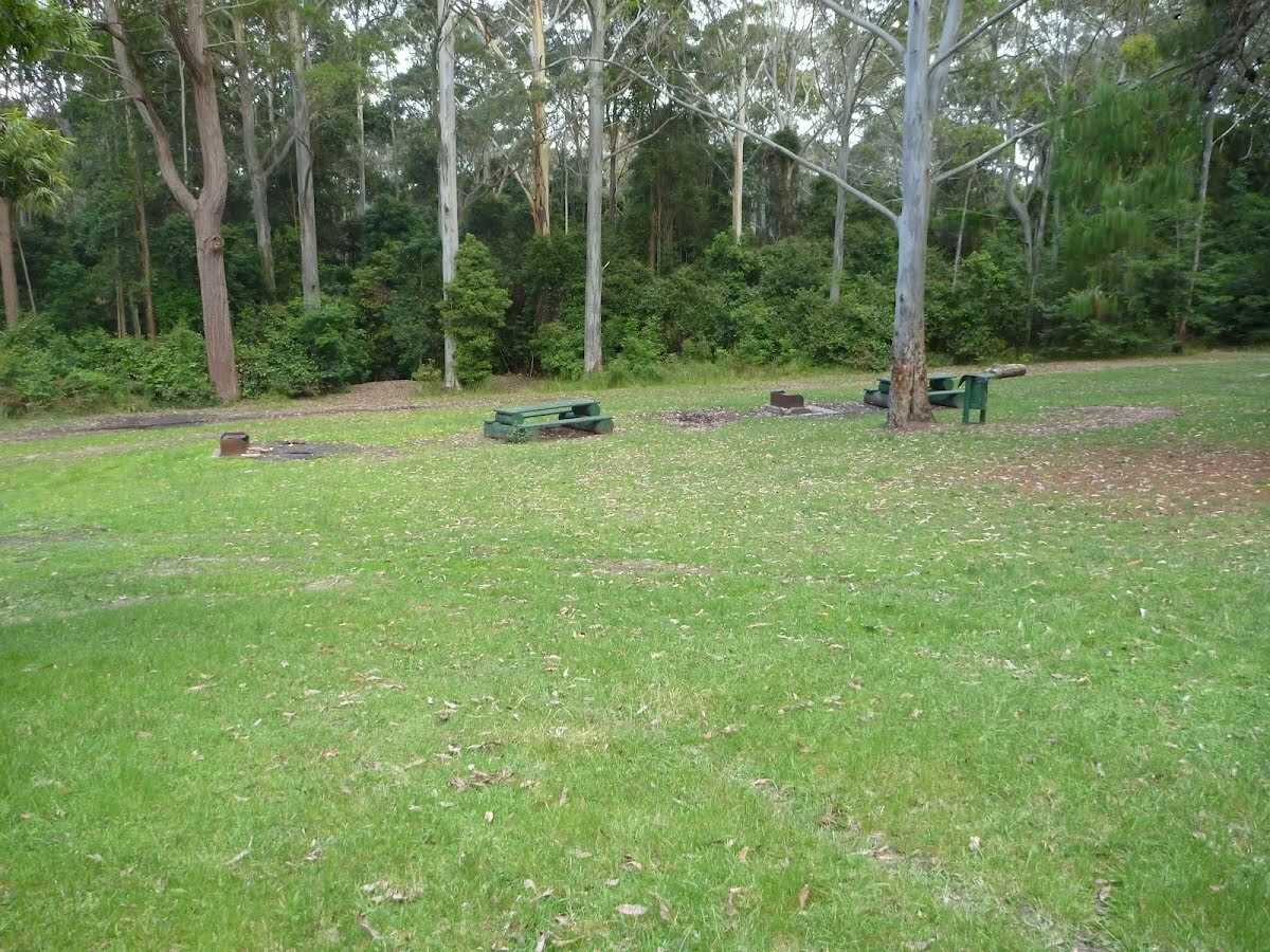
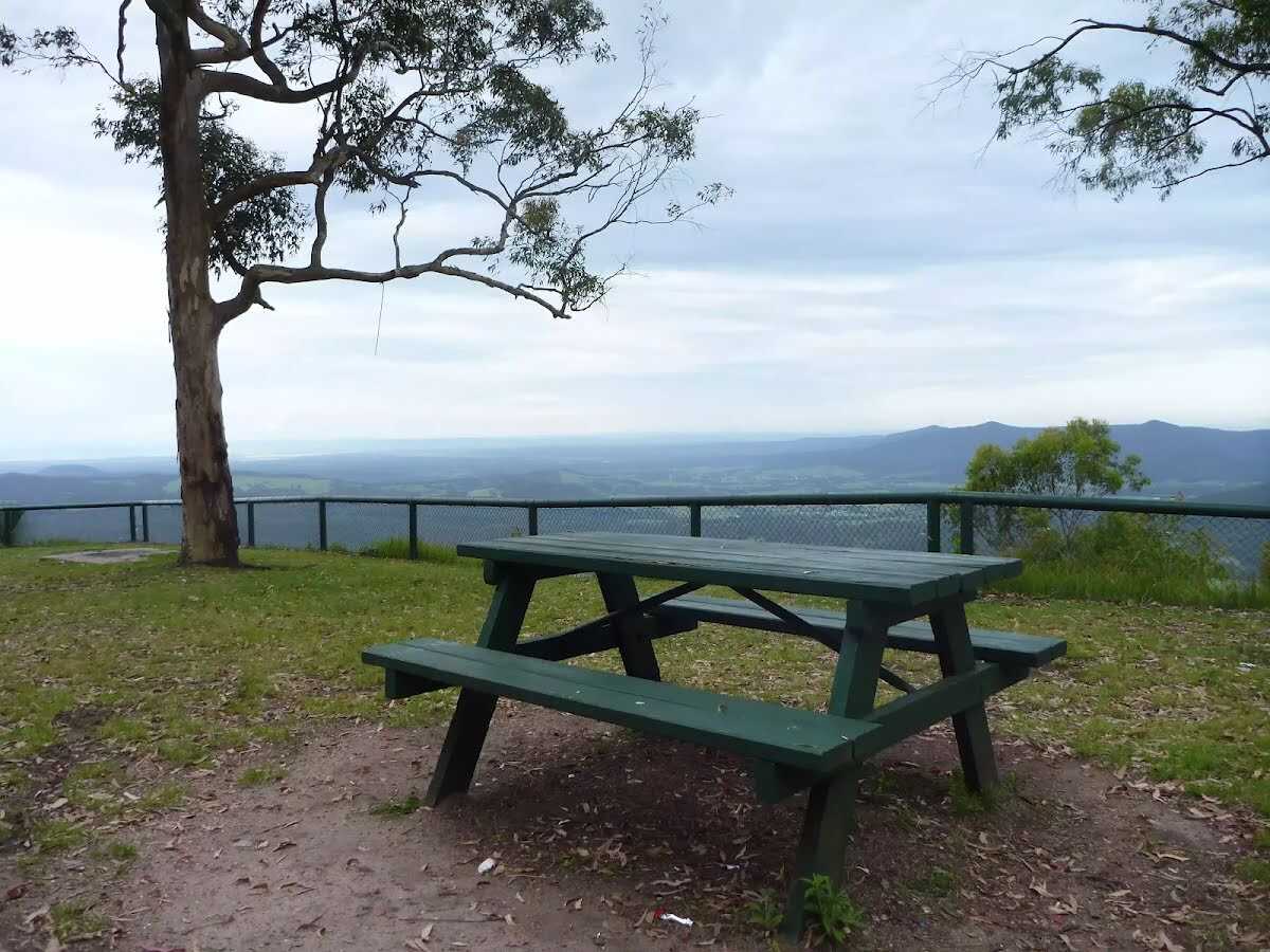
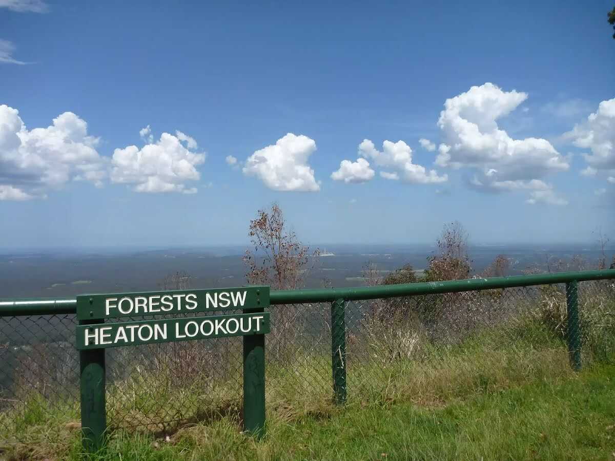
Heaton Lookout is one of the larger lookouts located on Heaton Road. This fenced lookout faces south-east. There are wood fired barbecues, picnic tables and a pit toilet. Heaton Lookout is a great place to stop for a snack, and the amazing view feels like a bonus. This lookout was named after Richard Heaton, a timber cutter who came to Australia as a convict. There is a water tank here, due to vandalism in the area this is not a reliable water source.
After another 8 m (from the Heaton Road) continue straight.
After another 65 m pass the toilet (8 m on your right).
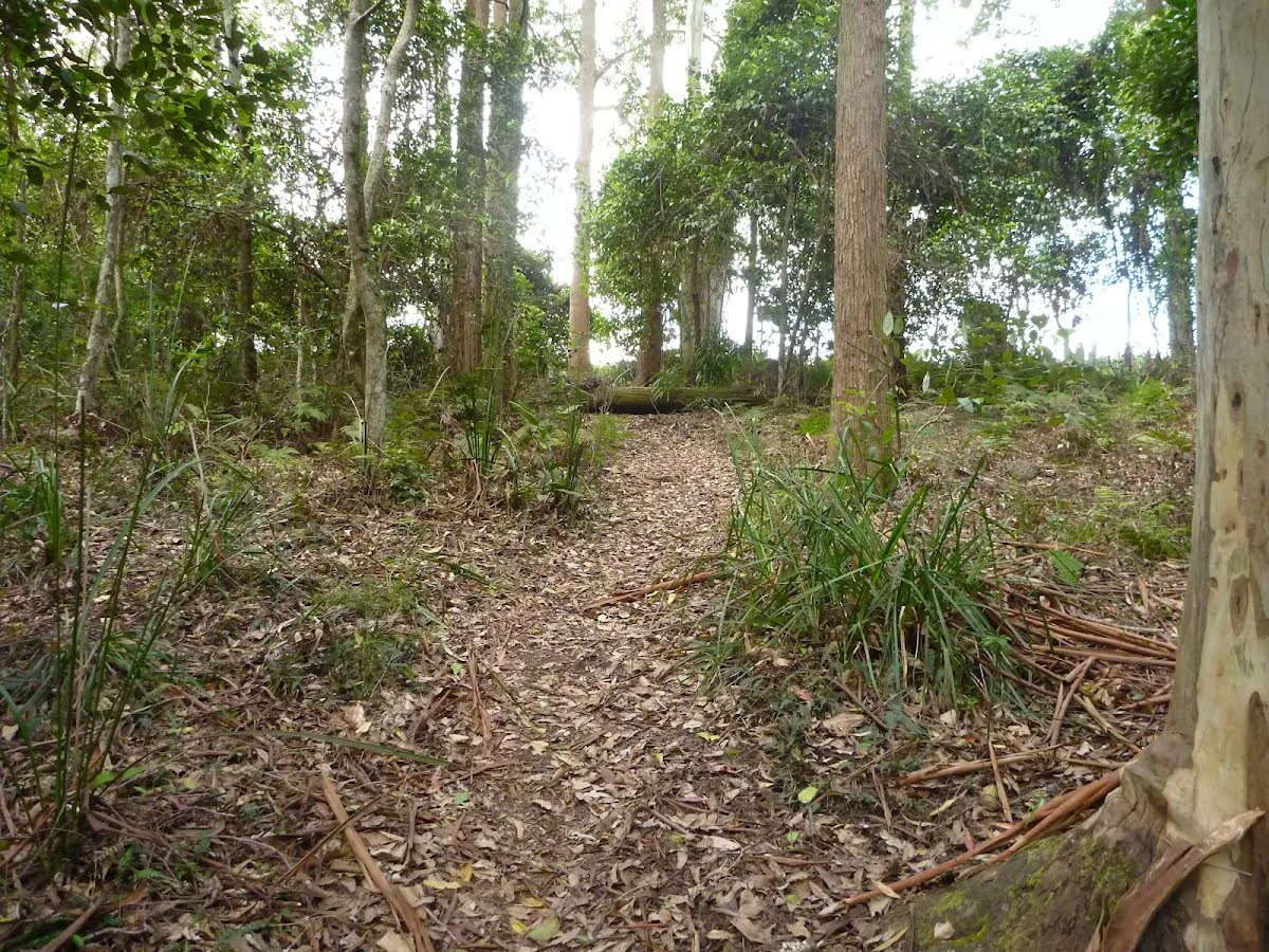
After another 245 m (from the Heaton Loop Trail) continue straight, to head along Heaton Loop Trail (a walking track).
After another 205 m (at the intersection of Heaton Road & Heaton Loop Trail) veer right, to head along Heaton Road (a vehicle track).
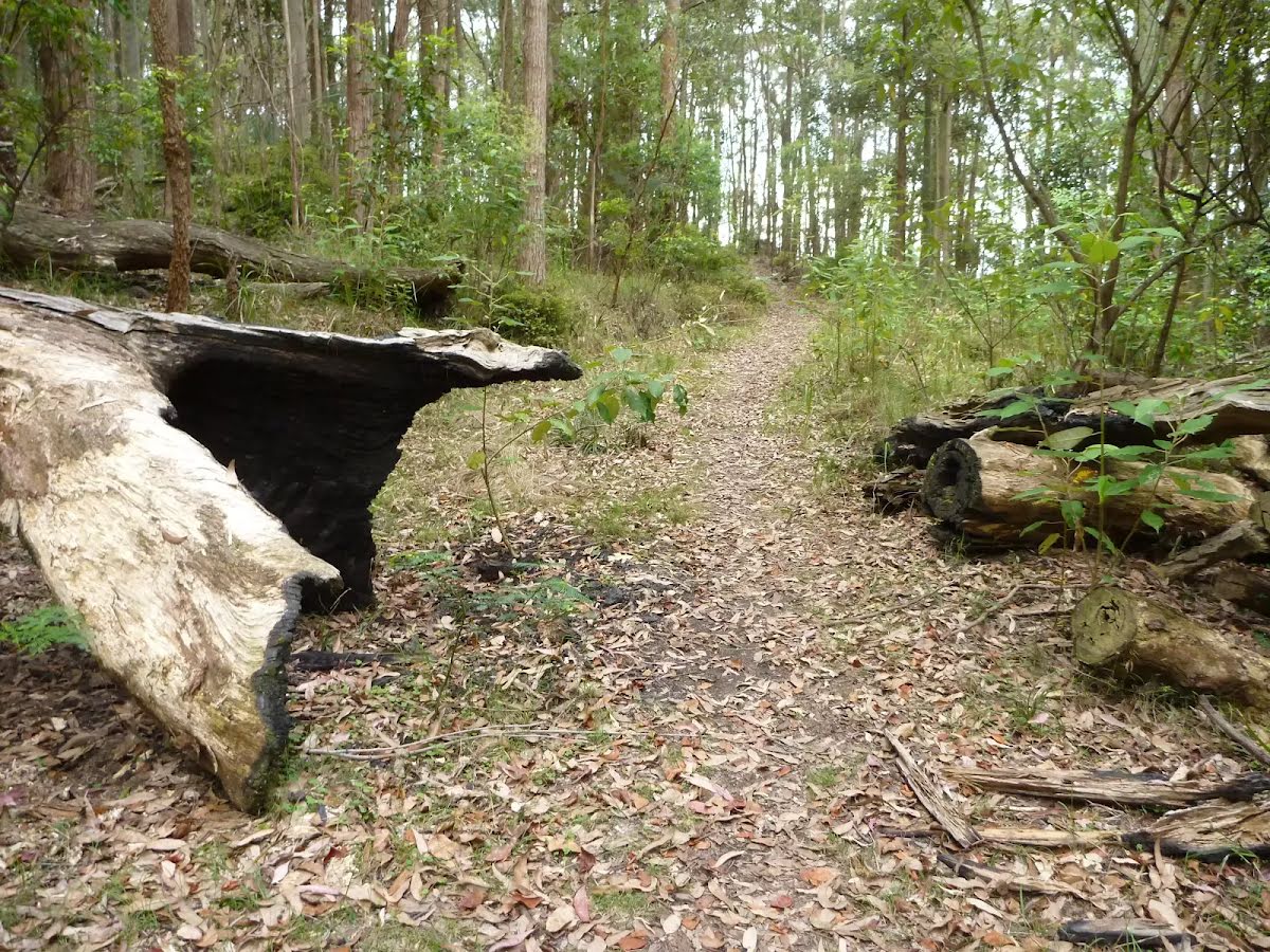
After another 1.8 km (at the intersection of Taylors Road & Murrells Road) turn sharp right (a walking track).
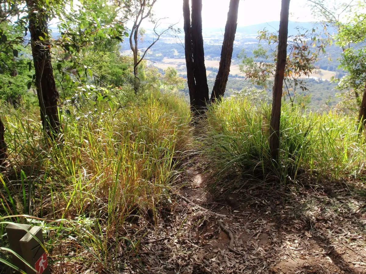
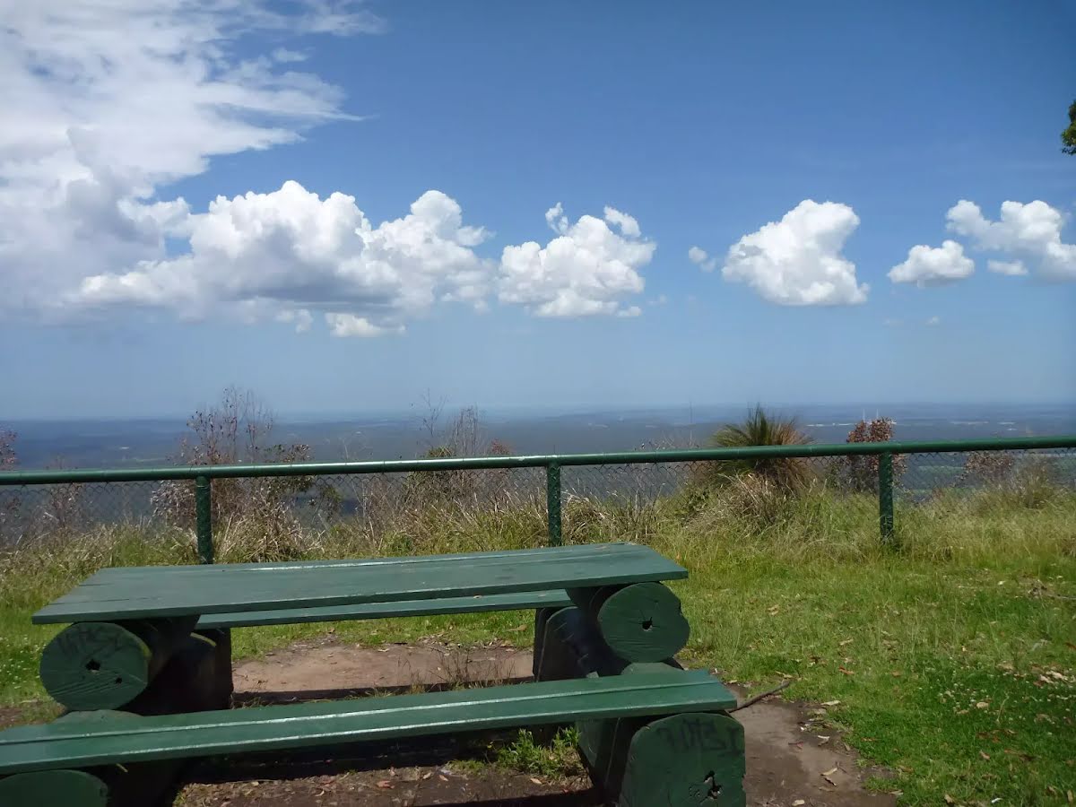
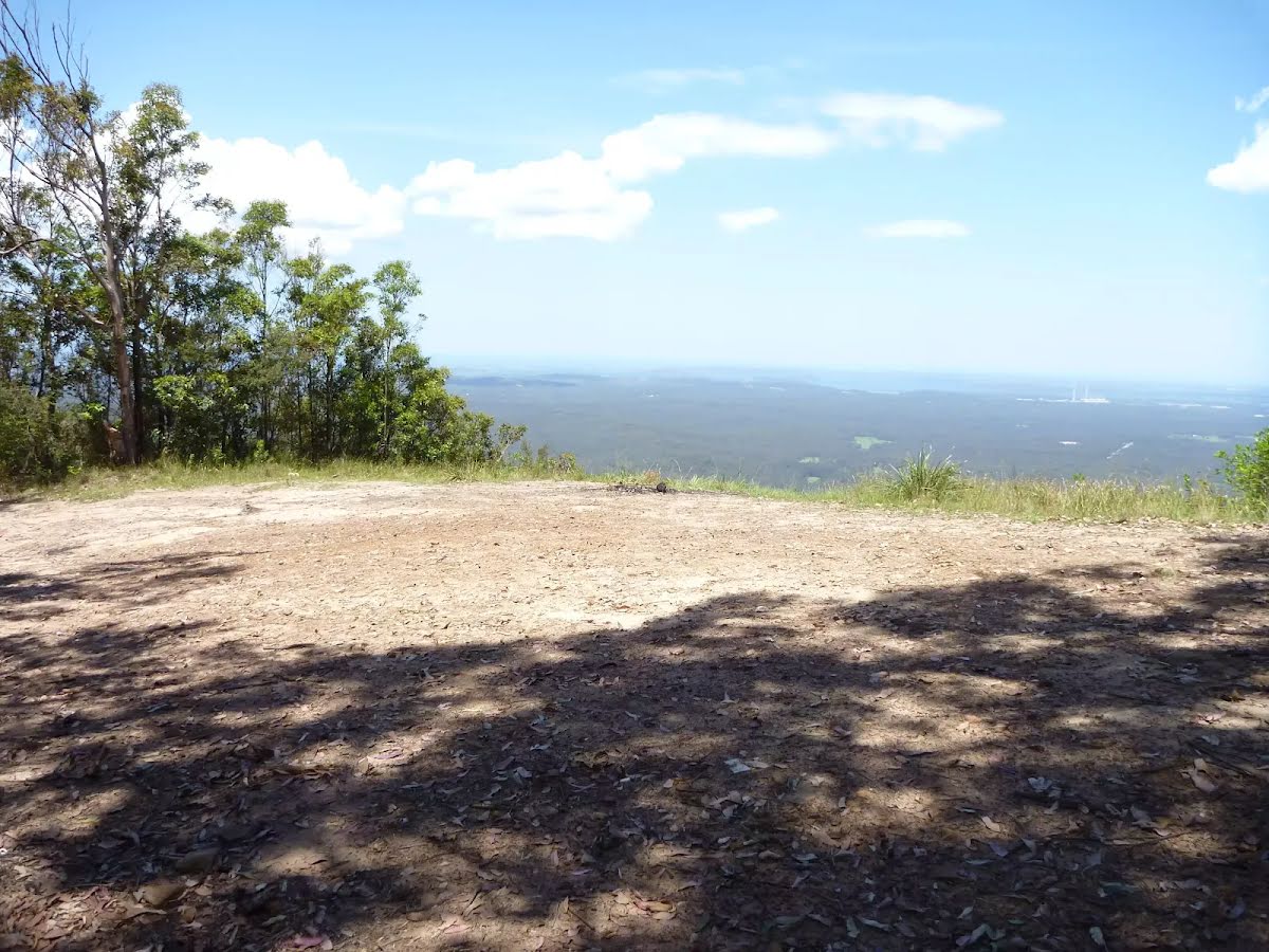
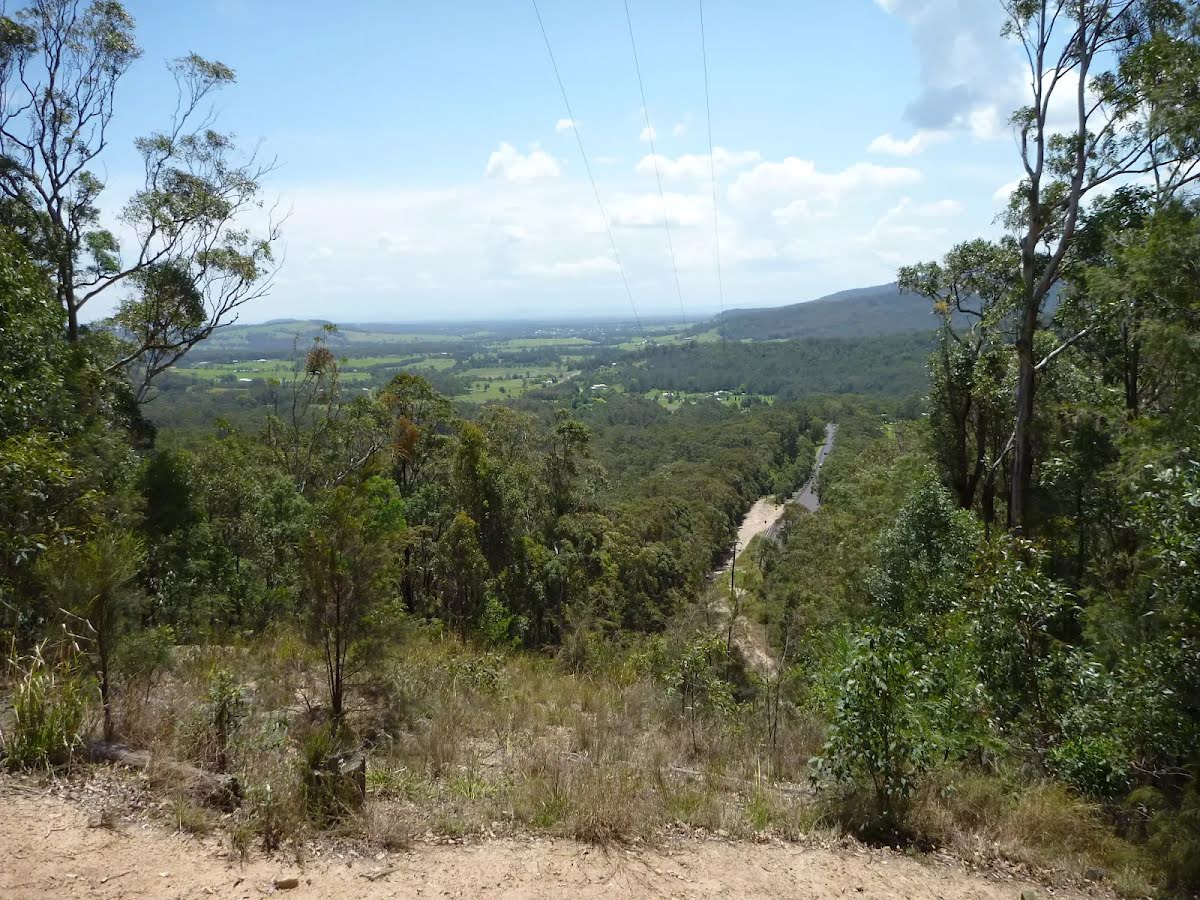
After another 750 m find the "Heaton Gap Lookout" (15 m on your right).
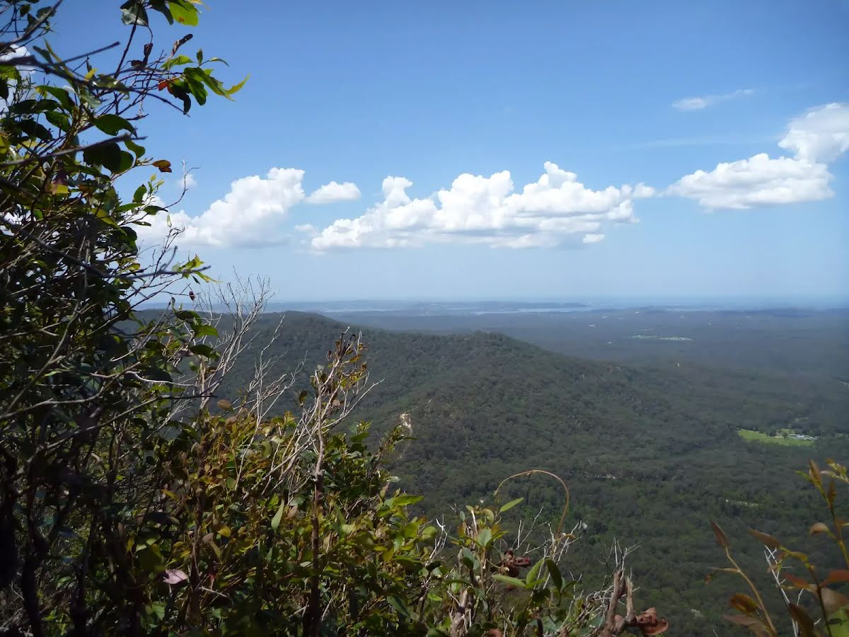
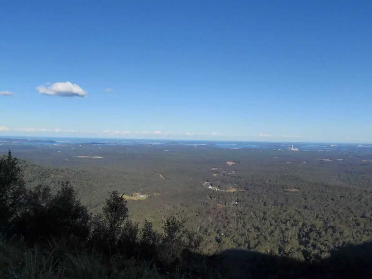
Heaton Gap lookout is a fantastic spot to stop and catch your breath in Heaton State Forest. This unfenced lookout offers exhilarating views over the valleys towards Tuggerah Lake and Lake Macquarie. this unsignposted view, as with many features in the area, was named after Richard Heaton, a timber cutter who came to Australia as a convict.
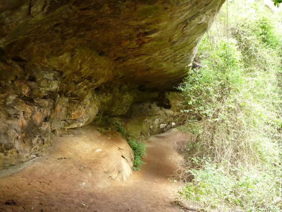
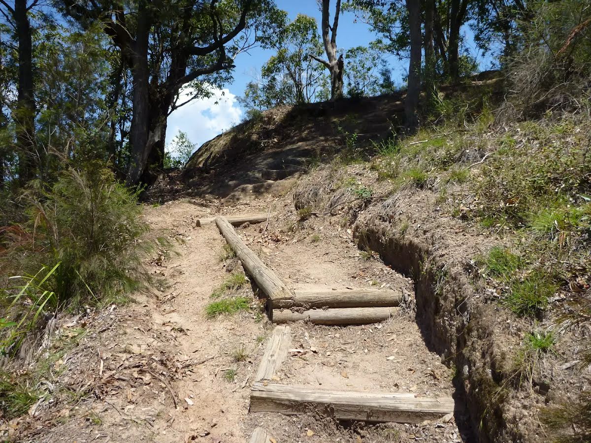
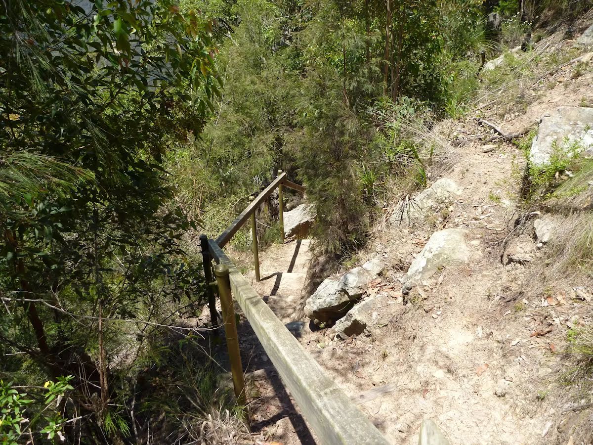
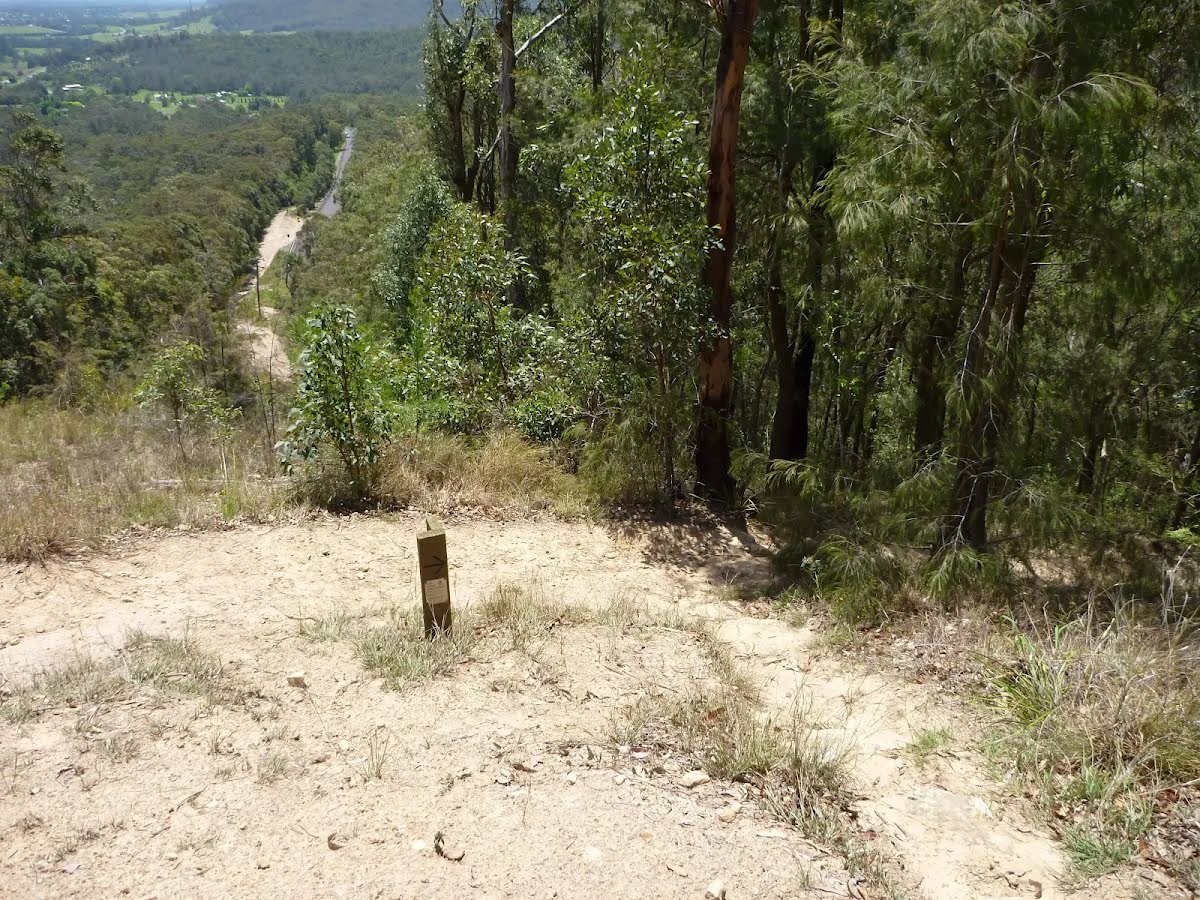
After another 970 m head down the wooden steps
After another 5 m come to the end.
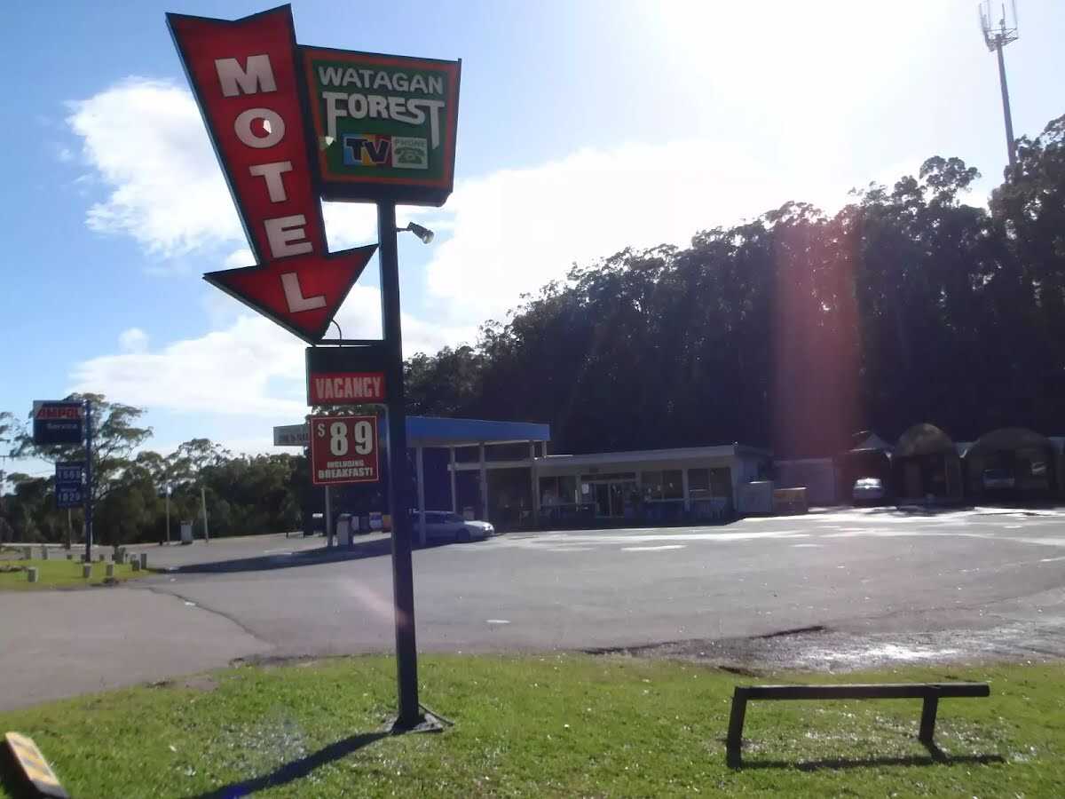
About 15 m past the end is "Watagan Forest Motel".
Watagan Forest Motel is located on Branxton-Toronto Road. This retro-style motel is located right on the Great North Walk. The motel offers six rooms for around $99 per night - each with a double bed (four rooms also have twin singles), a television, bathroom with shower, air conditioning, and breakfast included. Room service is available. Adjoining the motel is a service station, which also offers dining room meals as well as a small grocery selection (bread, milk, bottled water, rice, pasta, etc), open until 8:30pm daily. A rest area is situated next to the motel, with covered picnic tables and garbage bins. For further information, phone (02)4938 0149.
About 30 m past the end is a picnic table.
About 35 m past the end is a picnic table.
Watagan Forestry HQ Campsite to Heaton Gap
Grading
Class 4/6
Hard track
Length
12 km
Time
5 h to 6 h
Quality of track
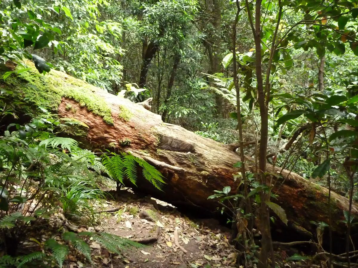
Rough track, where fallen trees and other obstacles are likely (4/6)
Gradient
Very steep (4/6)
Signage
Minimal directional signs (4/6)
Infrastructure
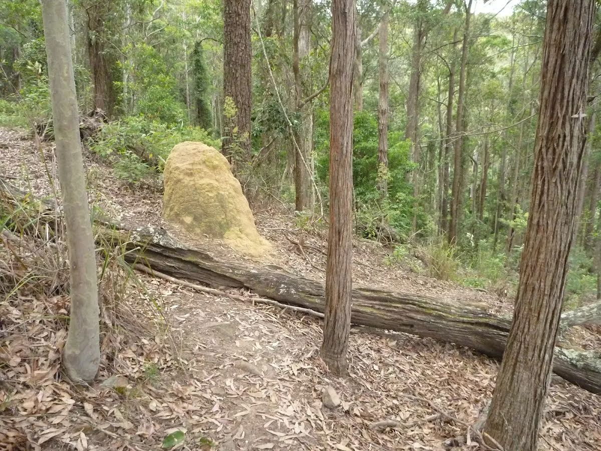
Limited facilities (such as cliffs not fenced, significant creeks not bridged) (4/6)
Experience Required
Moderate level of bushwalking experience recommended (4/6)
Weather
Storms may impact on navigation and safety (3/6)
Some facilities on route
Campsite: There are 2 on route, on average they are 4 km apart with the largest gap of 12 km.
Toilet: There are 2 on route, on average they are 4 km apart with the largest gap of 6.3 km.
Sunny. The chance of morning fog about the Upper Hunter. Areas of morning frost. Light winds. Overnight temperatures falling to between zero and 5 with daytime temperatures reaching between 14 and 18.
UV Alert: Sun protection not recommended, UV Index predicted to reach 2 [Low]
Tuesday 17 June
6°C → 19°C
Mostly sunny. 5% chance of rain
Partly cloudy. Patches of morning frost about the Upper Hunter. Light winds becoming west to northwesterly 15 to 20 km/h in the middle of the day then becoming light in the late afternoon. Overnight temperatures falling to between 3 and 6 with daytime temperatures reaching between 14 and 18.
Wednesday 18 June
5°C → 17°C
Sunny. 5% chance of rain
Sunny. Areas of morning frost. Light winds. Overnight temperatures falling to between 1 and 6 with daytime temperatures reaching between 13 and 16.
Thursday 19 June
3°C → 18°C
Mostly sunny. 10% chance of rain
Areas of frost and the chance of fog in the morning. Mostly sunny afternoon. Light winds. Overnight temperatures falling to between minus 1 and 4 above zero with daytime temperatures reaching around 16.