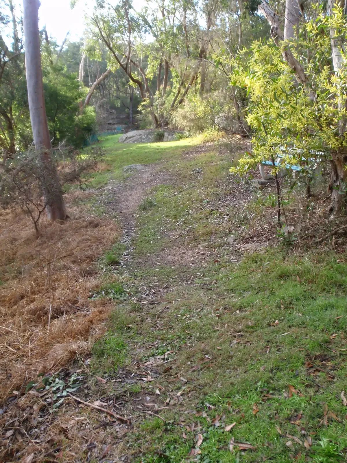
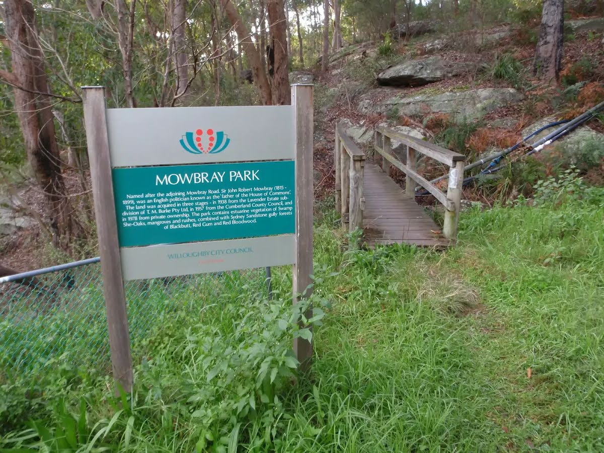
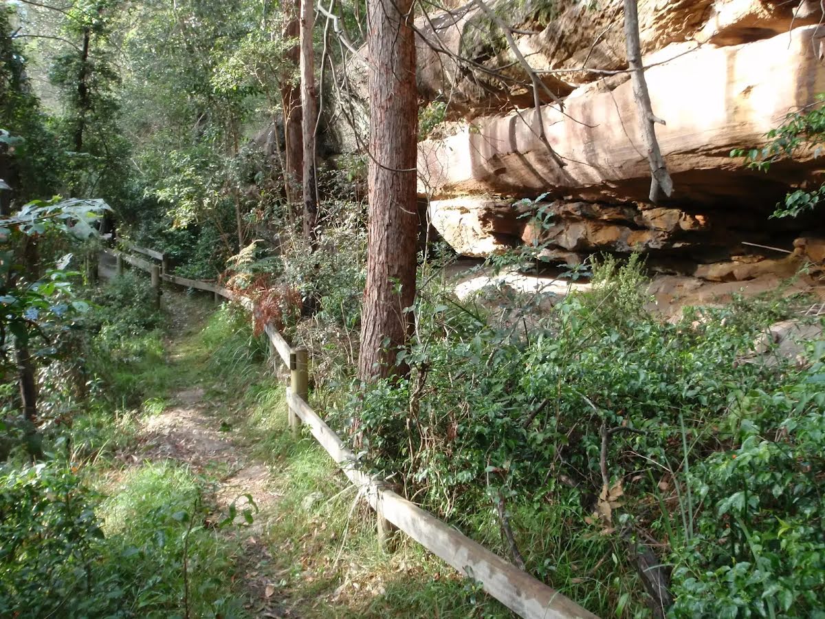
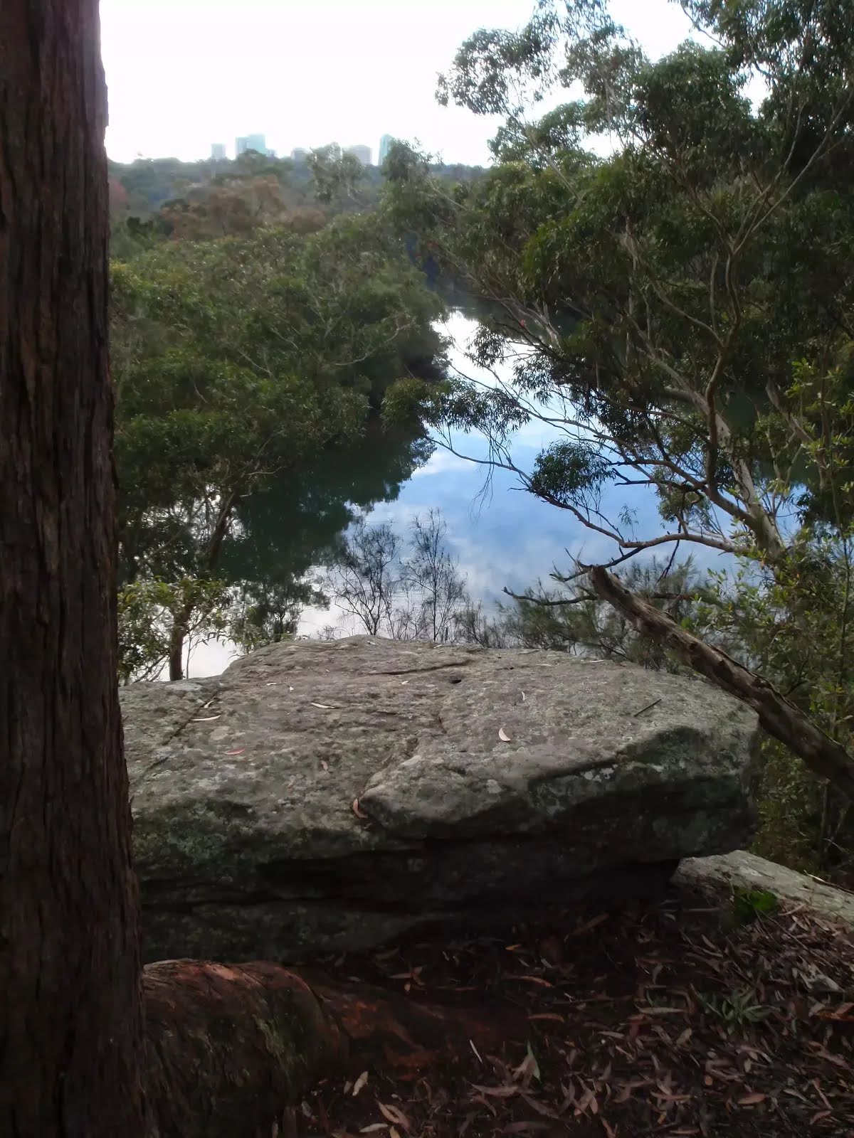
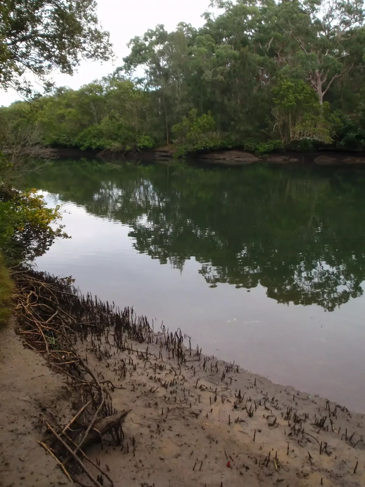
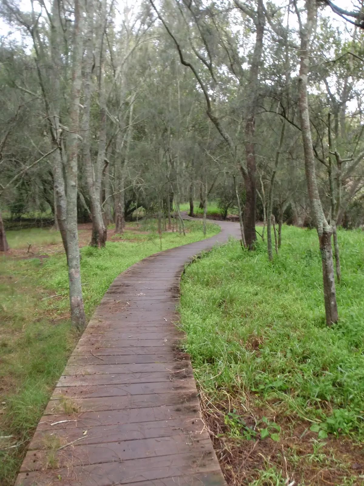
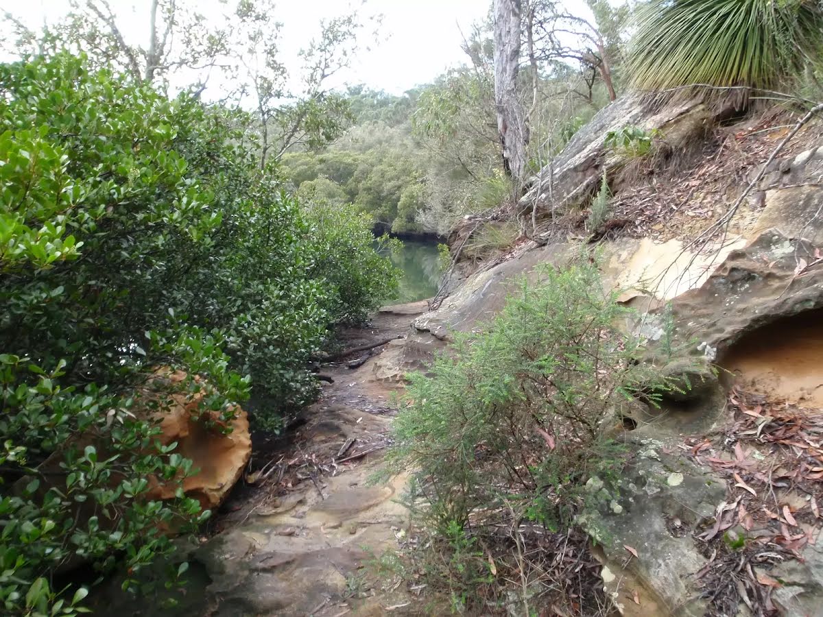
This walk, also known as the Black Cockatoo track, starts from Mowbray Park and explores the area where the Camaraigal Clan of the Guringai Tribe once lived. The walk leads across the top of a small escarpment and winds down and back along the Lane Cove river bank. The change in vegetation is quite defined and interesting. A boardwalk section through the mangroves gives a close view of river life that changes with the tides. Let us begin by acknowledging the Camaraigal people, Traditional Custodians of the land on which we travel today, and pay our respects to their Elders past and present.
Some of the information and maps on this page was generated using data from the awesome
© OpenStreetMap contributors.
Please see how you can
embed some widgets, access data and other stuff to that might be helpful.