| Turn map |
Directions & comments |
|
|

Start.

After another 1 m turn around.

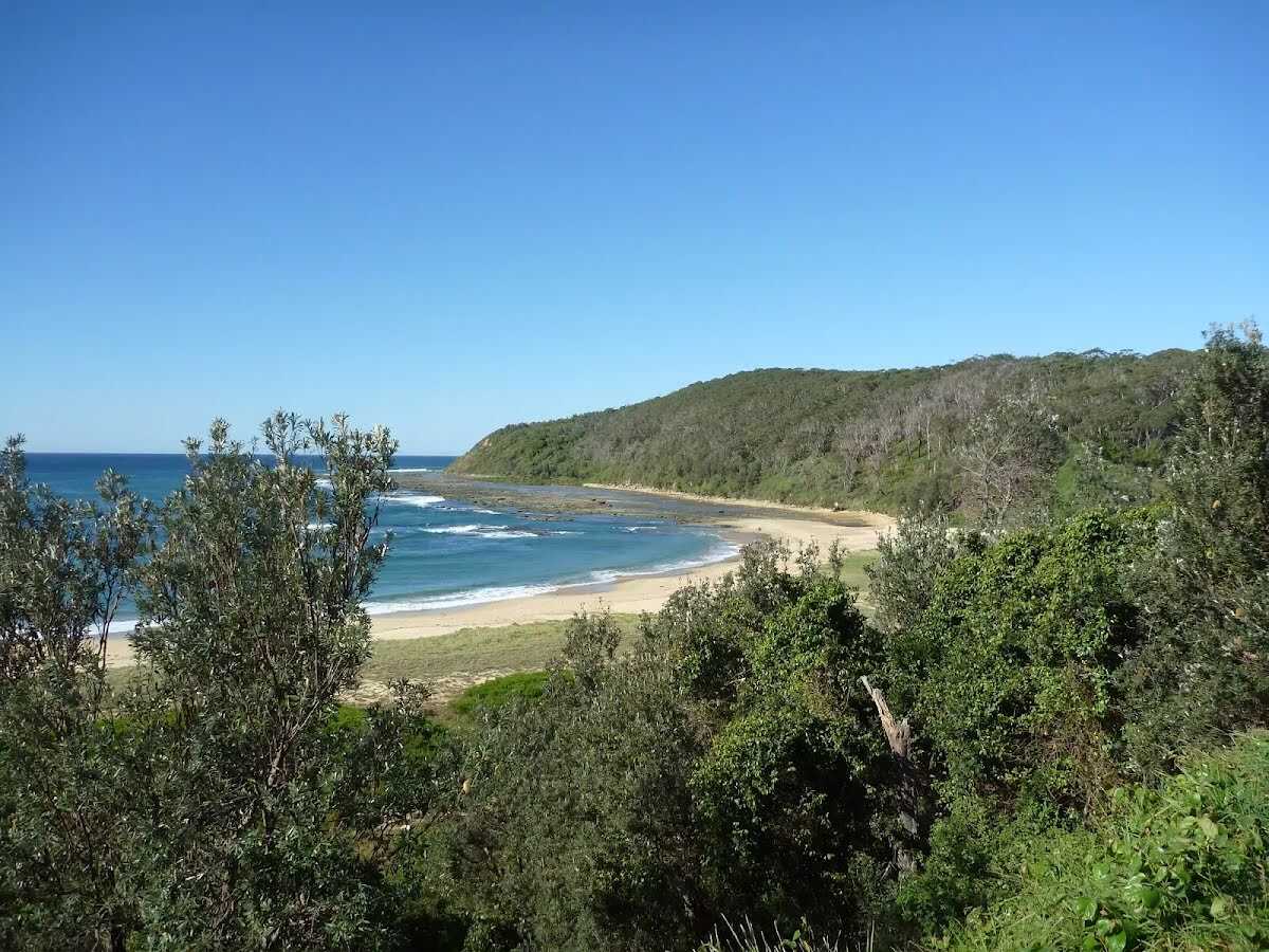
After 65 m find the "Bateau Bay Beach picnic area and lookout" (on your left).

After another 15 m pass a seat (10 m on your left).
After another 175 m head into the park.

After another 70 m pass the toilet (20 m on your right).
After another 25 m find the "Southern Bateau Bay beach picnic area" (9 m on your right).

After another 4 m continue straight.
|
|
|

After another 370 m (from the The Coast Track) veer left, to head along The Coast Track.
After another 115 m pass a seat (6 m on your left).
|
|
|

After another 135 m (from the The Coast Track) turn left, to head along The Coast Track.
|
|
|

After another 235 m (from the The Coast Track) veer right.
|
|
|
After another 20 m (from the Hilltop Street) turn left, to head along Hilltop Street (a residential road).
After another 330 m pass the park (6 m on your left).

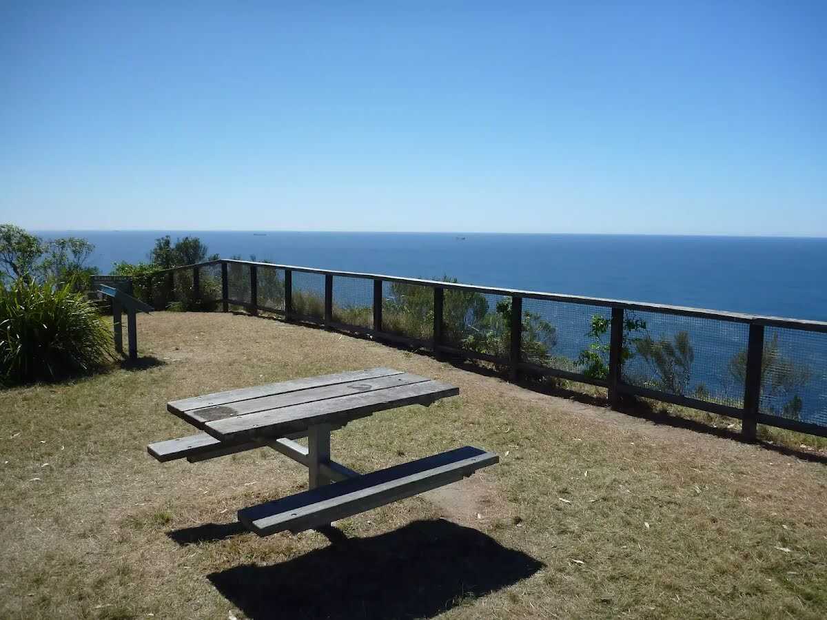
After another 25 m pass the picnic table (25 m on your left).
|
|
|

After another 25 m (at the intersection of Coast Track & Hilltop Street) turn right, to head along Coast Track (a walking track).

After another 20 m pass the sign (15 m on your left).

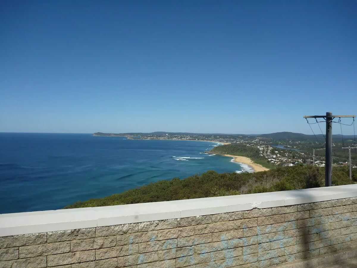
Then come to the "Crackneck Lookout" (40 m on your left).
Then pass a seat (25 m on your left).
|
|
|
After another 460 m (from the Coast Track) continue straight, to head along Coast Track.
After another 930 m find the "Wyrrabalong Lookout and Cromarty Hill" (on your left).

After another 175 m head through/around the gate.
|
|
|
After another 185 m (at the intersection of Cromarty Hill Road & North Scenic Road) turn left, to head along North Scenic Road (a residential road).
|
|
|
After another 315 m (at the intersection of Yumbool Close & North Scenic Road) continue straight, to head along North Scenic Road.
|
|
|
After another 335 m (at the intersection of Forresters Beach Road & North Scenic Road) turn left, to head along South Scenic Road.
|
|
|
After another 295 m (at the intersection of Henrys Road & South Scenic Road) continue straight, to head along South Scenic Road.
|
|
|
After another 25 m (from the South Scenic Road) turn left (a walking track).
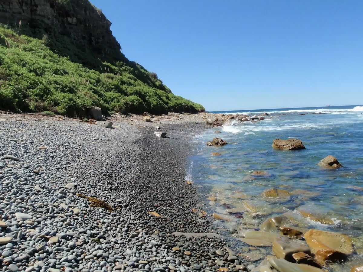
After another 130 m find the "Forresters Beach" (20 m on your right).
After another 2.8 km find the "Crackneck Beach" (on your right).
|
|
|
After another 1.2 km turn right.
|
|
|

After another 410 m come to the end.
|