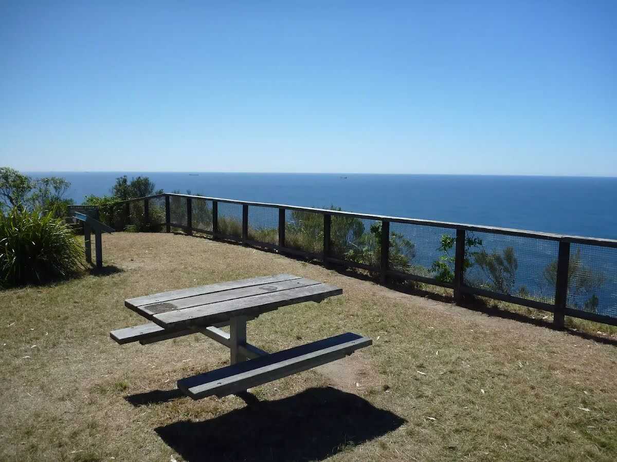
Closed areas: Crackneck Point Lookout and Crackneck Carpark CLOSED for Helicopter Operations for Wyrrabalong Coast Track maintenanceHelicopter Operations and Truck Deliveries will be carried out at Crackneck Point Lookout in Wyrrabalong National Park from 29th May to 18th July. During this time, the following areas will be closed for the following dates:
- Hilltop Street south from the Yaruga st intersection (19th and 23rd June)
- Crackneck Point Lookout (24th-25th June)
- Crackneck Point Lookout Carpark (19th, 23rd-25th June)
These dates are subject to weather and may change.
Penalties apply for non-compliance. For more information, contact the local NPWS office 4972 9000.
Closed areas: UAV Drone Weed Control Spray ProgramNSW National Parks and Wildlife Service (NPWS) is conducting an aerial spraying program from Monday 16 June 2025 to Friday 27 June 2025. The operation will use Glyphosate 360 g/L for the control of Bitou bush.
The program is designed to control Bitou bush infestations in remote and inaccessible locations.
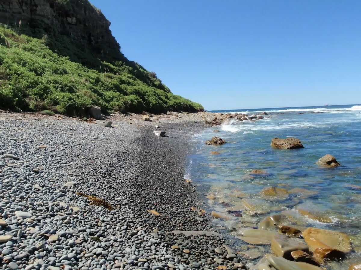
The program will take place at Pelican Beach in Wyrrabalong (North) National Park and Moonee Beach in Munmorah State Conservation Area.
NPWS staff will be present and patrolling closed areas during the operation. The following closures will apply when operations are underway:
Wyrrabalong National Park:
Sections of Pelican Beach between, Tuggerah Beach Fire Trail to Pelican Beach Carpark.
Munmorah State Conservation Area:
Moonee Beach Fire Trail - beach access points will be closed with access permitted via the walking track steps and the beach to the north of these access locations.
Signs will be placed at the entry to the spray locations and there will be no public access during the spray operation. The spray operation is expected to take 2 to 3 days. The exact dates and times of closures will be subject to favourable weather conditions.
Please contact the local Munmorah NPWS area office for more information on 4972 9000.
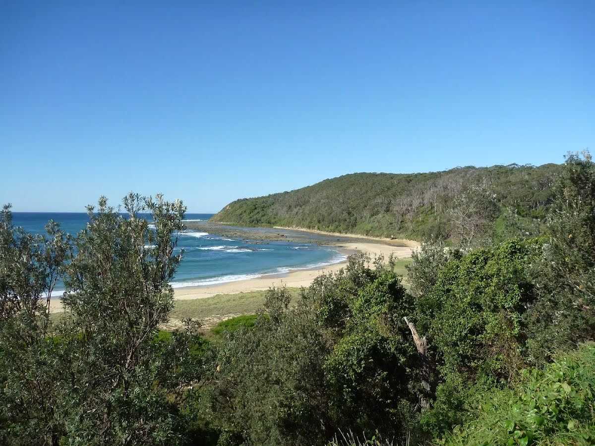
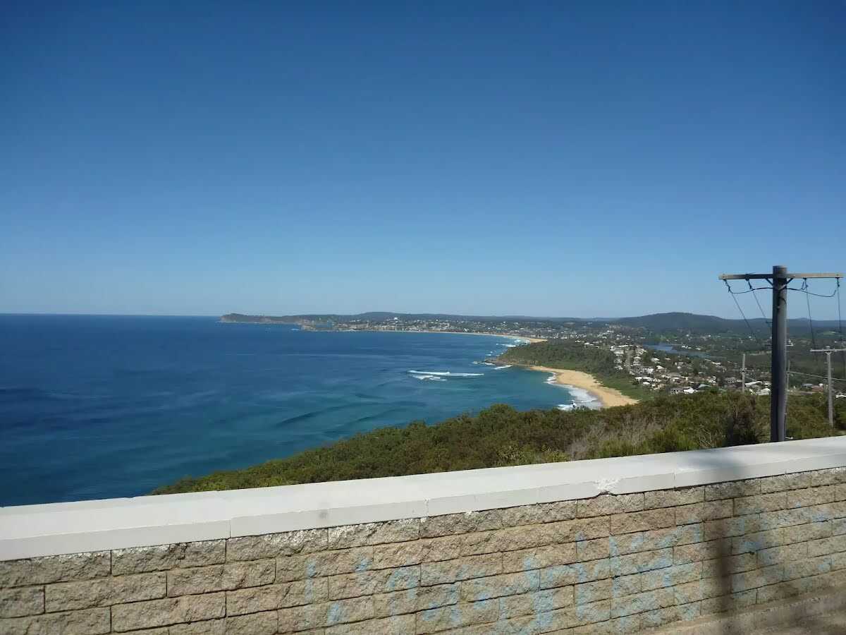
Closed areas: Track Repairs and Temporary ClosuresThe NSW National Parks and Wildlife Service (NPWS) will be undertaking repairs to The Coast Track between Crackneck Point Lookout and Wyrrabalong Lookout between the
28th April 2025 to 18th July 2025.
The track will need to be closed to the public for a period between these dates while works are undertaken to ensure the safety of visitors.
The track repairs will focus on eroded sections of the track by repairing the track surface, demolishing and replacing retaining walls, and improving drainage to enhance visitor safety, reduce maintenance, and minimise erosional impacts on the surrounding environment.
For further information please contact the NPWS Central Coast Area Office on 4972 9000.
Alert kindly provided by © NSW Nataional Parks and Wildlife Service