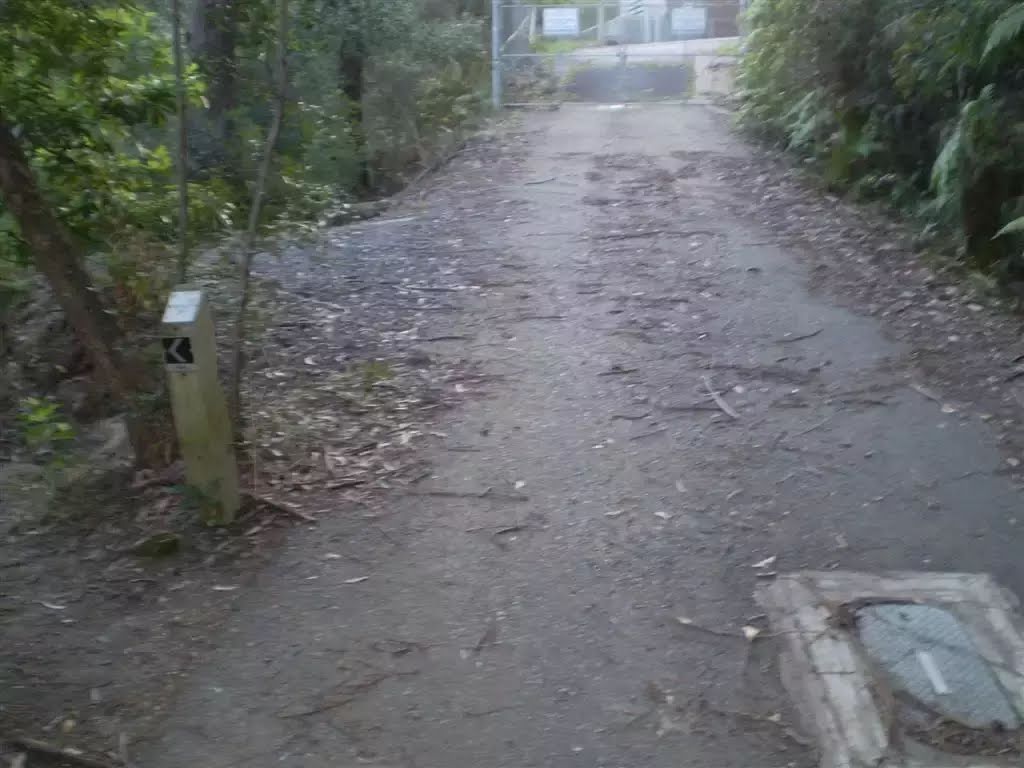
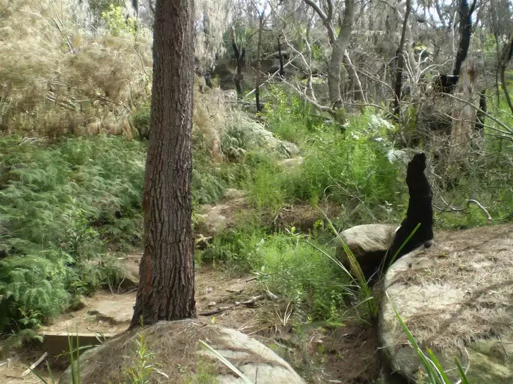
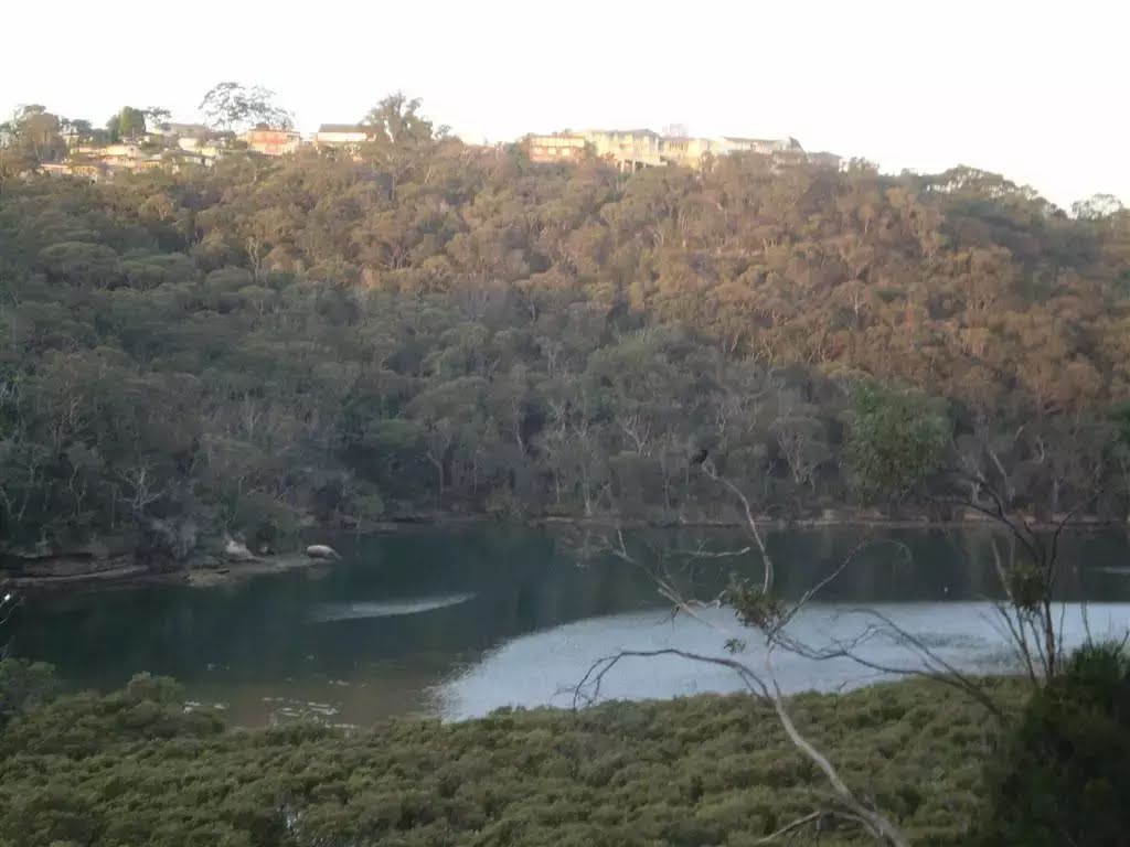
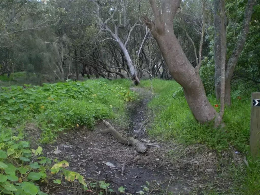
Following the edge of Middle Harbour, this walk has excellent views and Special spots, including the views from the end of North Arm Rd and the trail near the Mannerim Rd Turnoff. The change in the track from bush track to mangroves and mudflats south of the Pump Station gives a good feel of the diversity of environments that can be found in the area. Let us begin by acknowledging the Camaraigal people, Traditional Custodians of the land on which we travel today, and pay our respects to their Elders past and present.
Some of the information and maps on this page was generated using data from the awesome
© OpenStreetMap contributors.
Please see how you can
embed some widgets, access data and other stuff to that might be helpful.