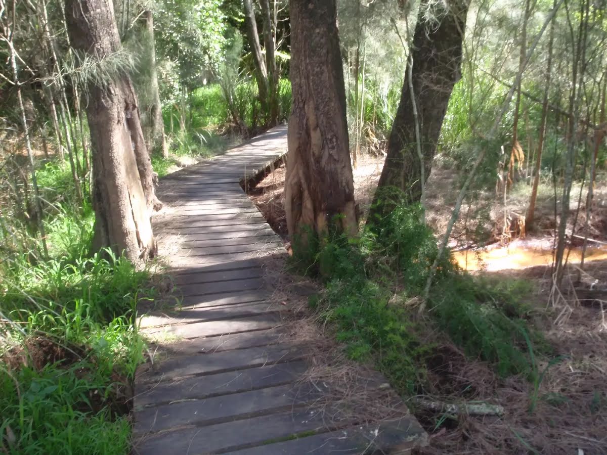
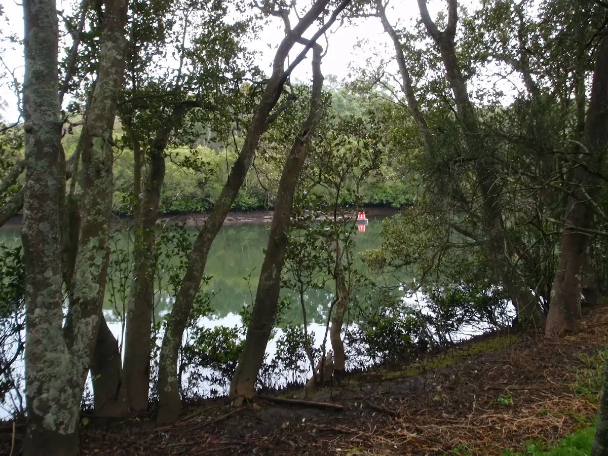
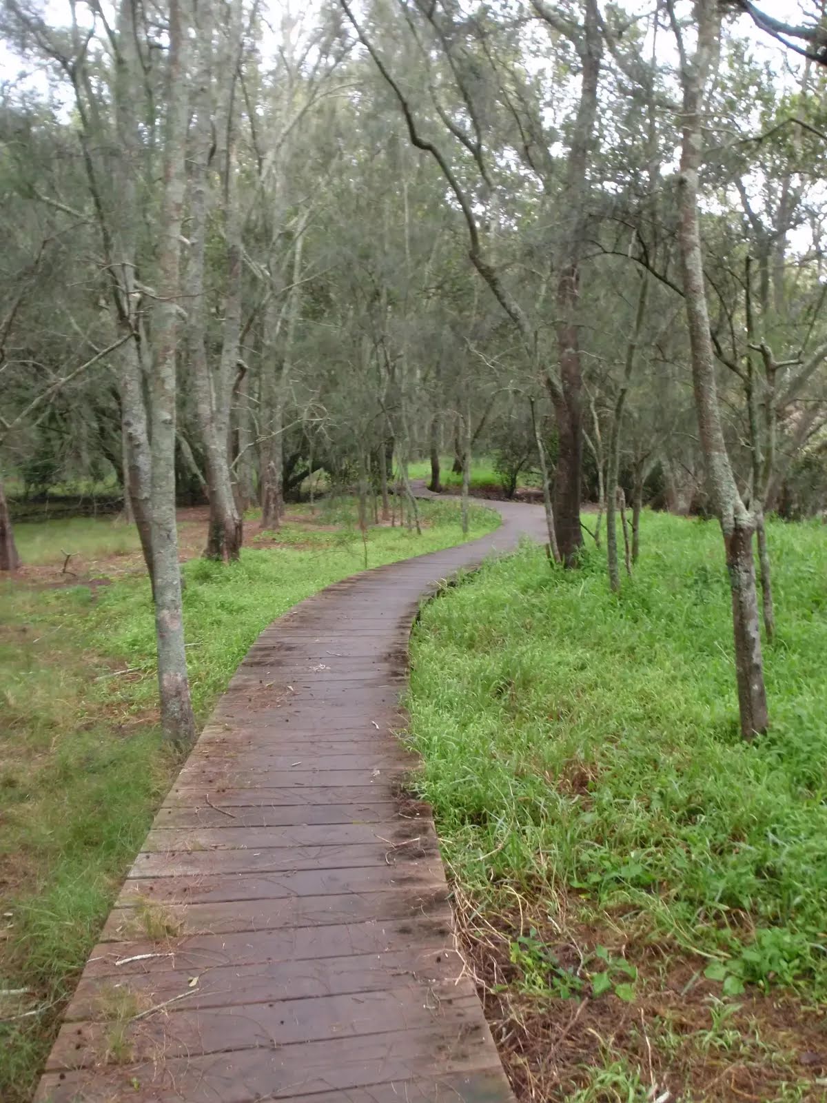
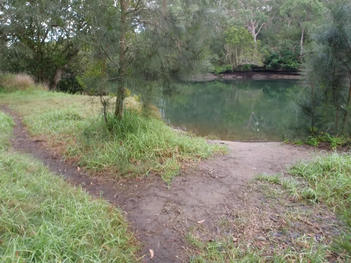
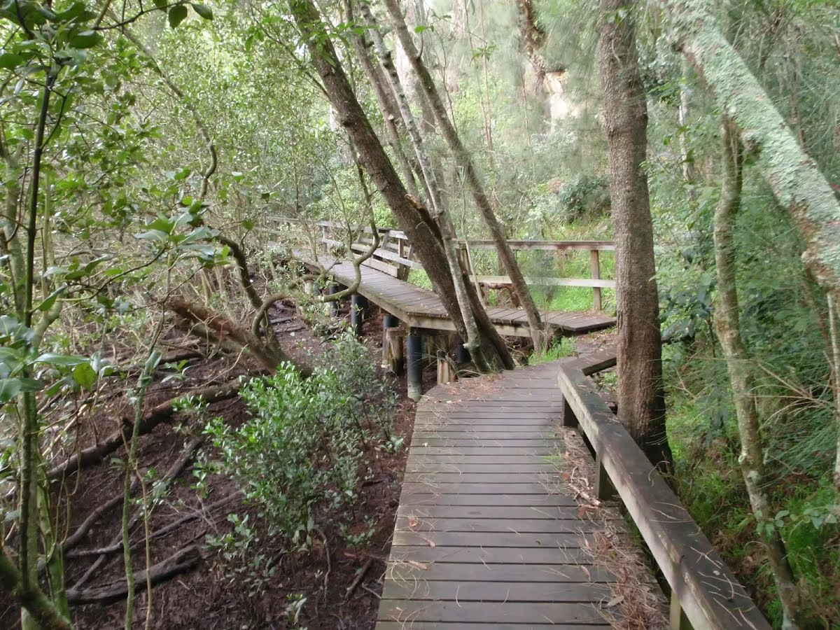
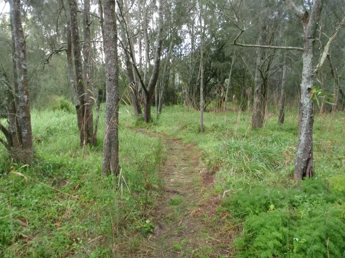
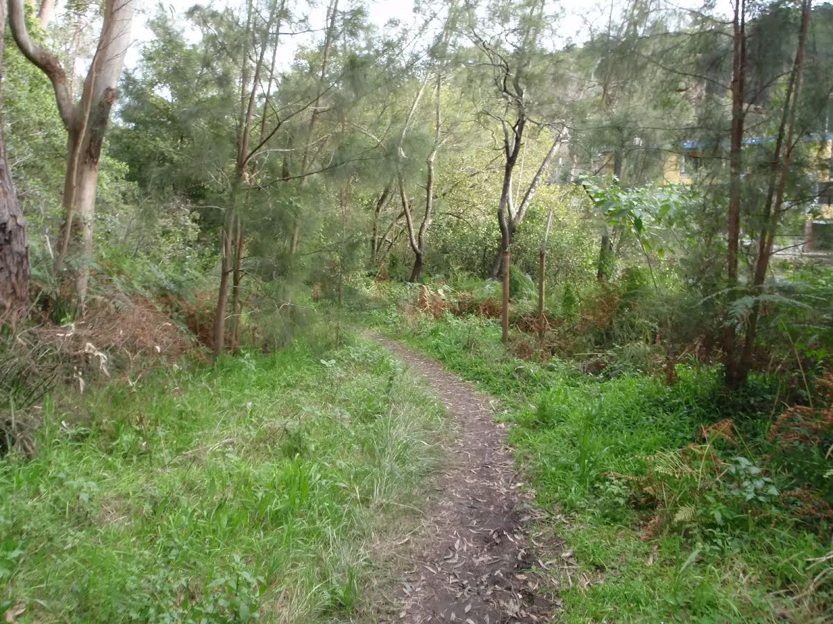
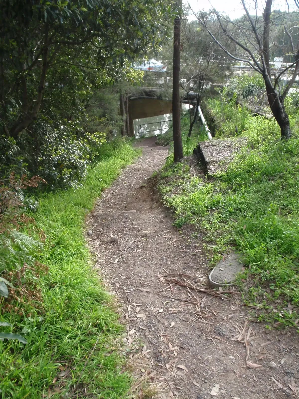
Closed areas: Road and picnic area closuresLane Cove Depot Road and part of Max Allen Road, along with the adjacent picnic areas, will be closed from 31 March 2025 to 15 September 2025 due to essential geotechnical works. Weather events may extend these works.
The following areas will be closed to all pedestrians, cyclists and vehicles:
- Lane Cove Depot Road
- Max Allen Road will have no public access beyond Lane Cove Cafe and area office.
- Turrumburra, Bakers Flat, Casuarina Point, Cormorant Corner, Haynes Flat and Thistlethwaites picnic areas.
Please follow all signs and instructions of NPWS staff and contractors.
Penalties apply for non-compliance. For more information, contact the local NPWS office on 02 8448 0400.
Other planned events: Toilet closures in Lane Cove National ParkSome toilets within this park will be closed during the week, opening only on weekends, public holidays and during school holidays. The closed toilets are at:
- Carters Creek (Area 9)
- Scribbly Gums (Area 17)
- Haynes Flat (Area 32)
Please note: This does not apply to bookings. Where there are bookings, toilets will be opened.
For more information, please contact the NPWS Chatswood area office on 02 8448 0400.
Closed areas: Sugarloaf carpark closedSugarloaf carpark in Lane Cove National Park is no longer open to the public. We apologise for any inconvenience.
For more information, please contact the NPWS Chatswood Area office on 02 8448 0400.
Penalties apply for non-compliance.
Other planned events: 1080 pest managementNSW National Parks and Wildlife Service will be conducting a baiting program using manufactured baits and fresh baits containing 1080 poison (sodium fluroacetate) for the control of foxes. The program is continuous and ongoing between 1 February 2025 and 31 July 2025 in Lane Cove National Park. Don’t touch baits.
Penalties apply for non-compliance.
All baiting locations are identifiable by signs.
Domestic pets are not permitted in NSW national parks and reserves. Pets and working dogs may be affected (1080 is lethal to cats and dogs). Pets and working dogs must be restrained or muzzled in the vicinity and must not enter the baiting location. In the event of accidental poisoning seek immediate veterinary assistance.
For more information, contact the local park office on:
Lane Cove 8448 0400 (business hours)
NPWS after-hours call centre: 1300 056 294 (after hours)
Alert kindly provided by © NSW Nataional Parks and Wildlife Service