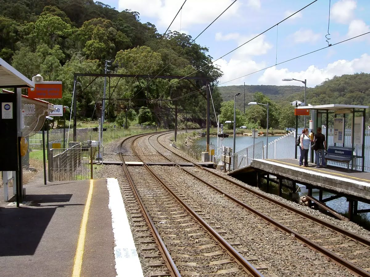


| Start | (-33.4920915,151.2569603) |
| Mode | Train |
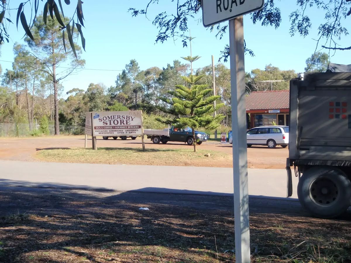
| Directions | From Pacific Motorway, M1
|
| Finish | (-33.3577287,151.2903258) |
| Mode (end) | Bus Car (There is free parking available.) Special (A bus service runs along Wisemans Ferry Rd passing Somersby store. The service runs between Gosford and Spencer only a few times a day. Please check timetable for more info or Phone Busway on (02) 4368 2277. The bus only picks passengers up to head to Somersby on the afternoon runs. More info) |

|
|
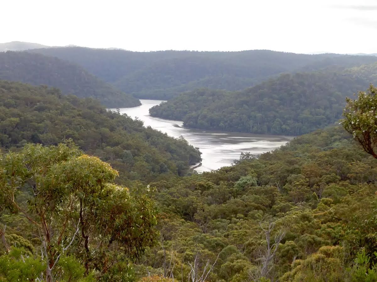
Class 4/6 Hard track |
|---|---|
| Length | 25.3 km |
| Time | 8 h to 11 h |
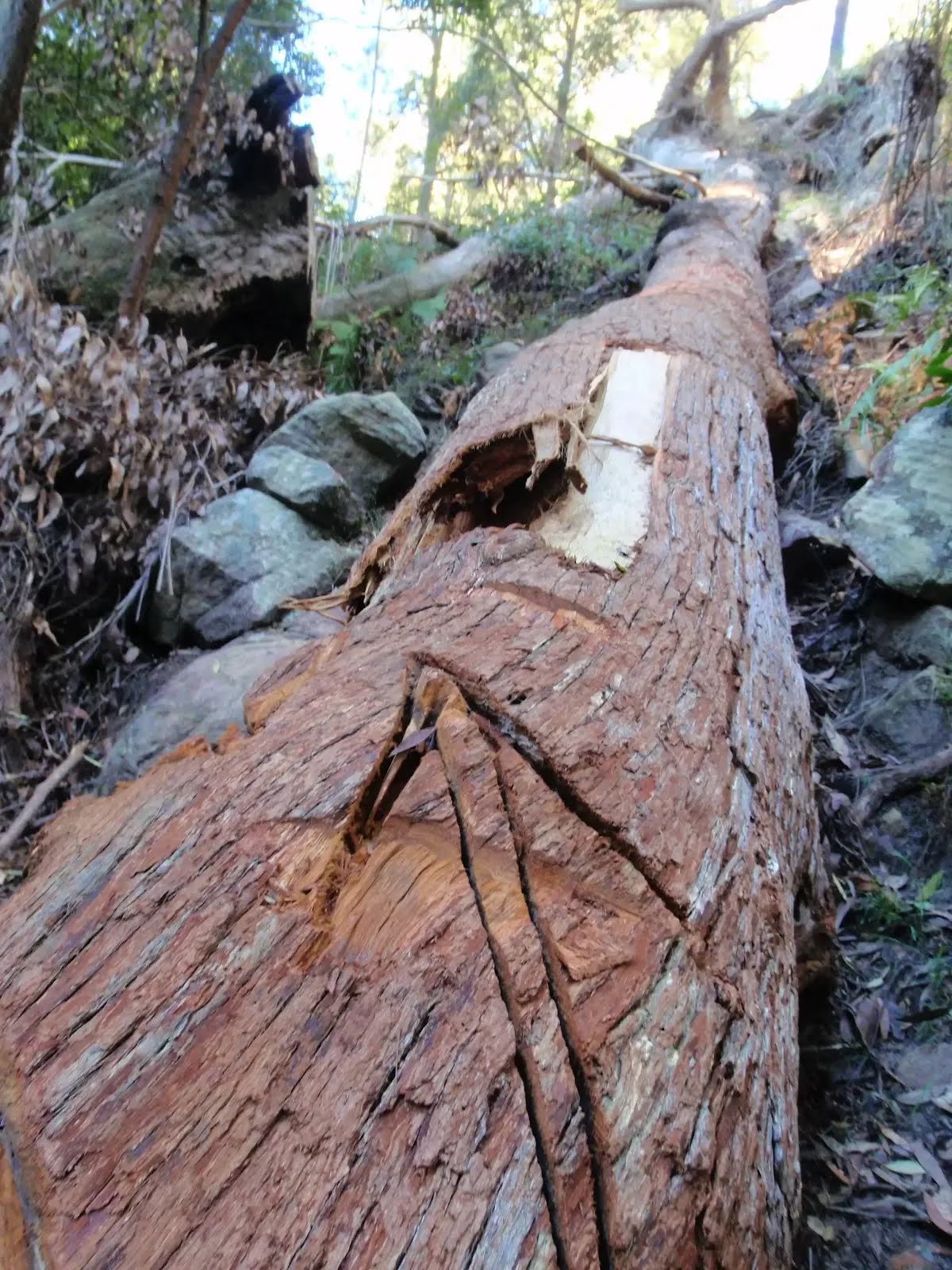
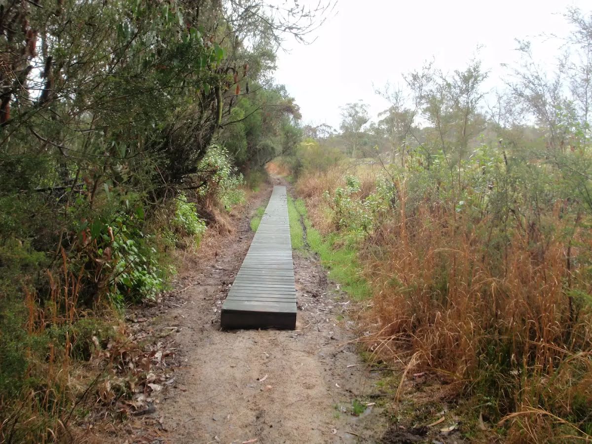
| Quality of track | Rough track, where fallen trees and other obstacles are likely (4/6) |
| Gradient | Very steep (4/6) |
| Signage | Minimal directional signs (4/6) |
| Infrastructure | Limited facilities (such as cliffs not fenced, significant creeks not bridged) (4/6) |
| Experience Required | Moderate level of bushwalking experience recommended (4/6) |
| Weather | Storms may impact on navigation and safety (3/6) |
| Item | From Start | Name & link to notes |
|---|---|---|
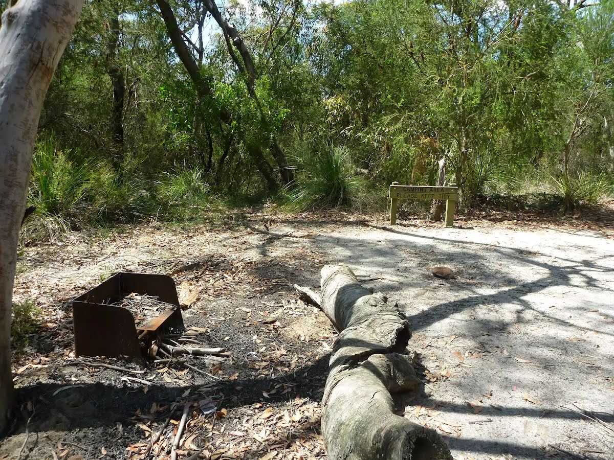
Camp site
| 7.6 km | [camp site] |
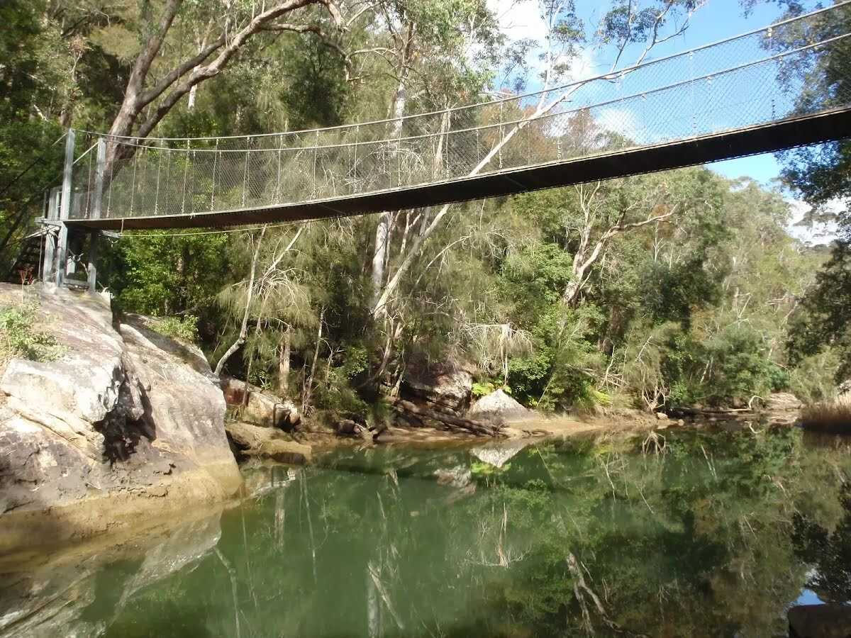
Campsite
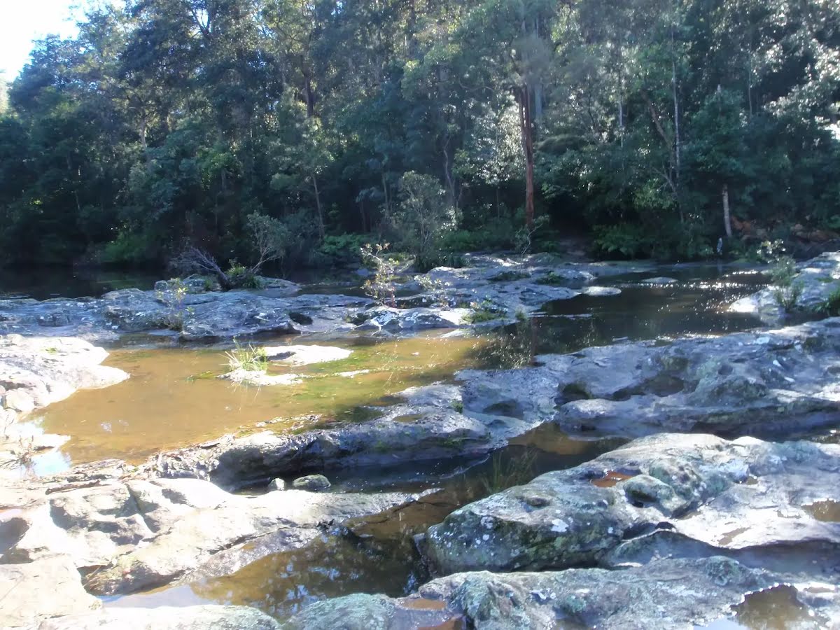
| 11.5 km | Mooney Mooney Creek Campsite (south) |
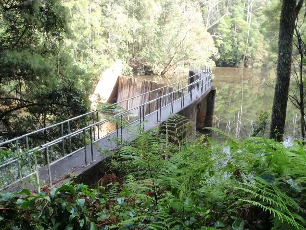
Campsite
| 12.8 km | Mooney Mooney Creek Campsite (north) |