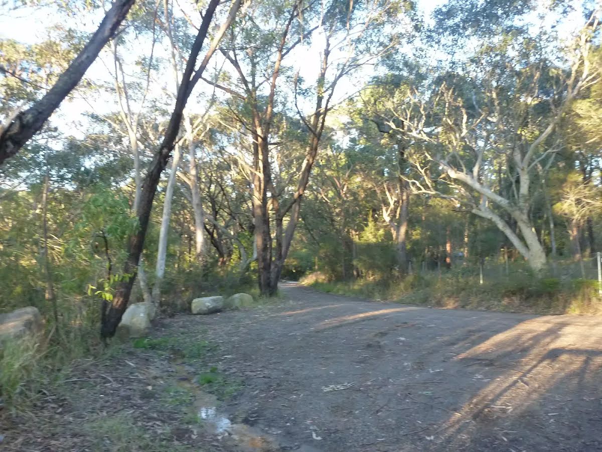
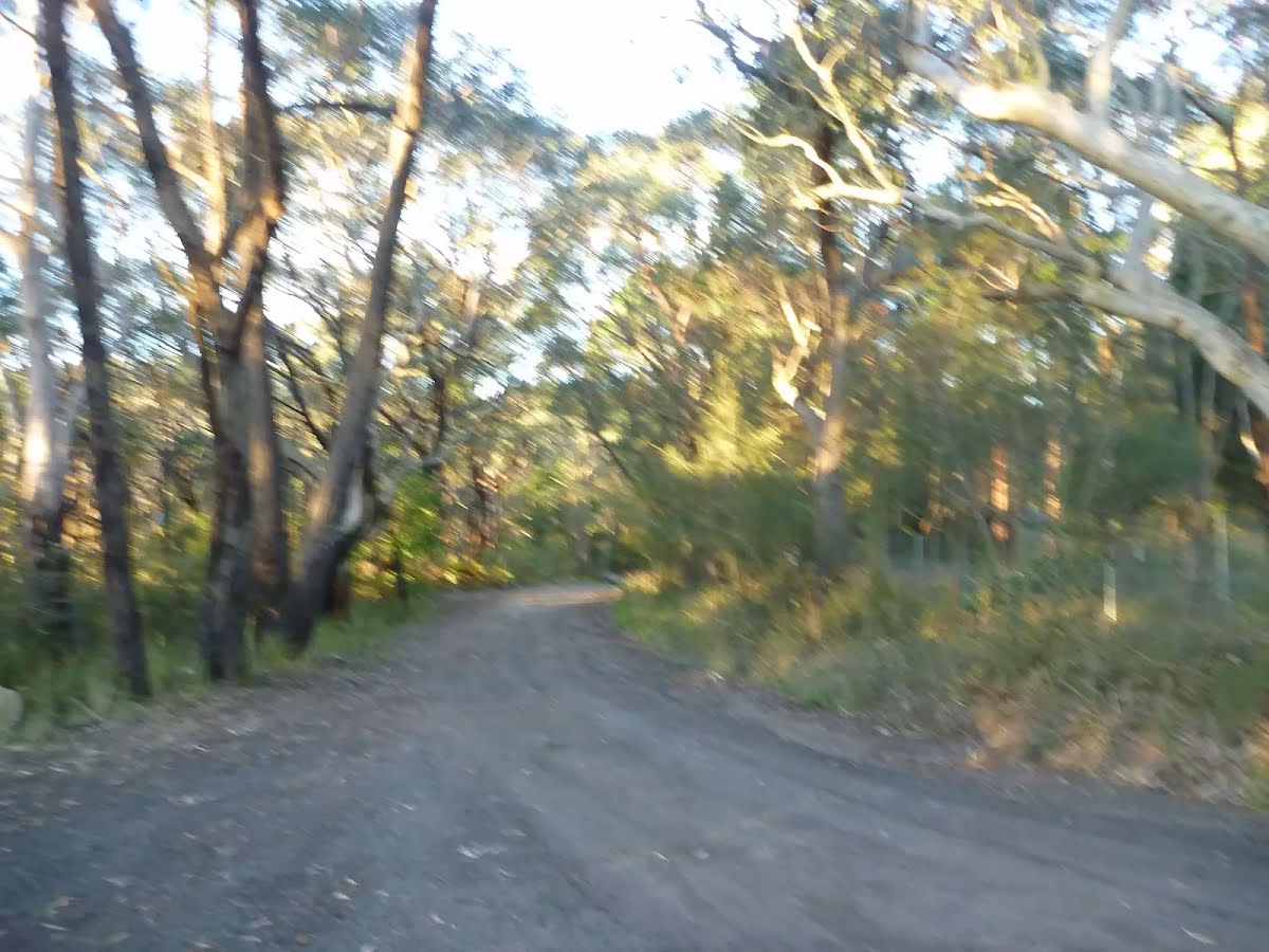
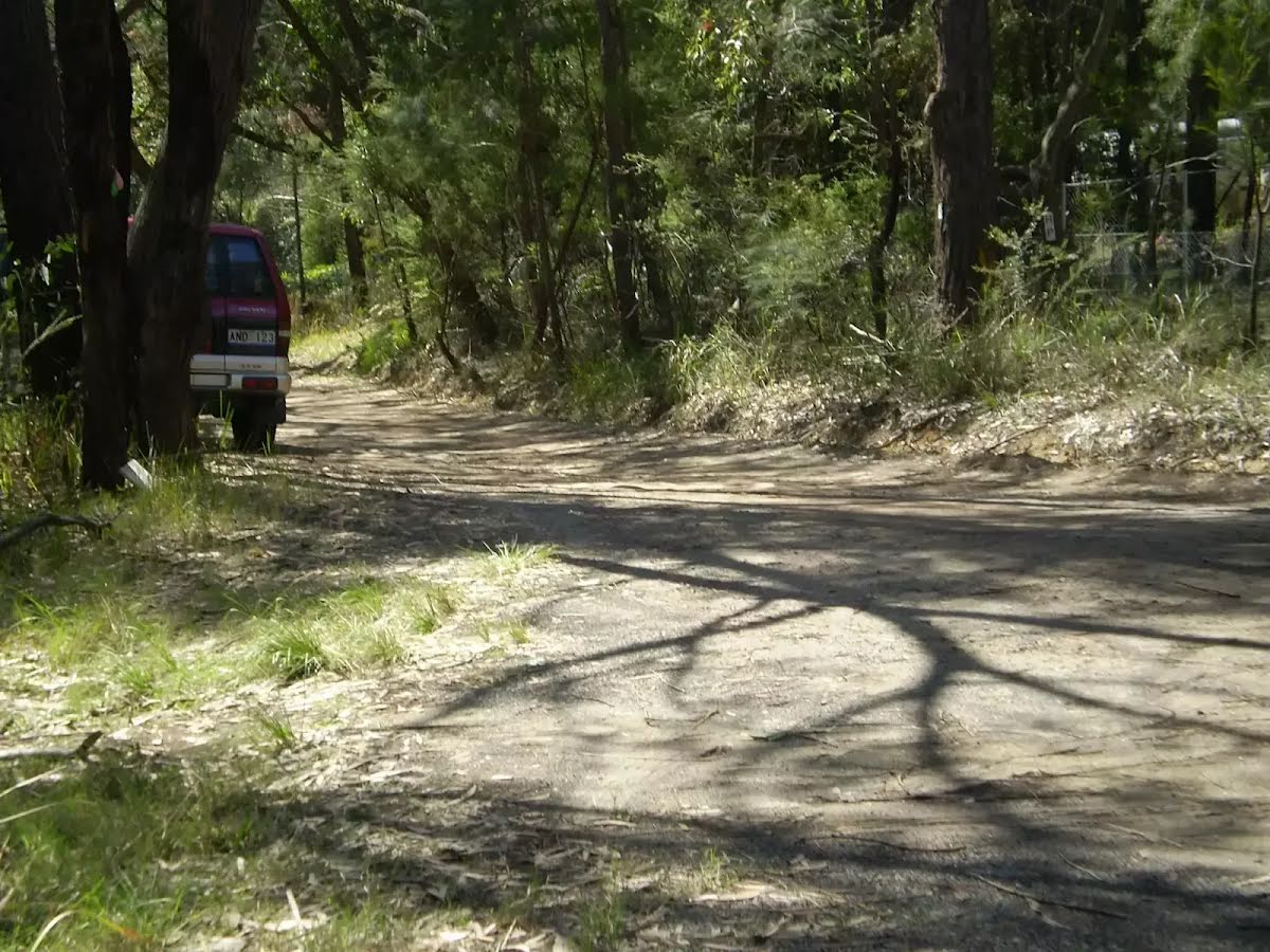
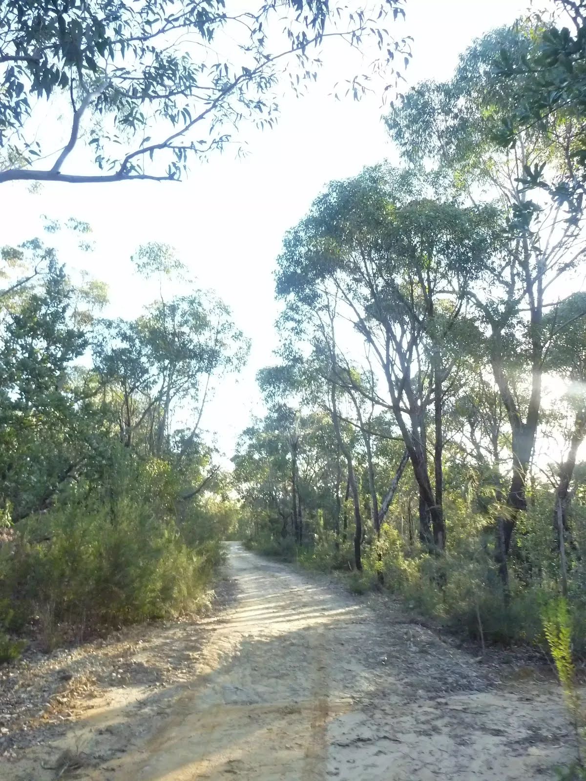
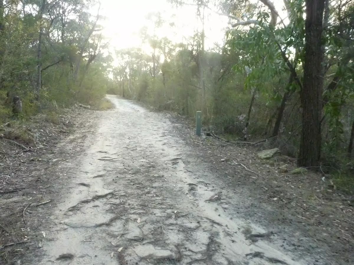
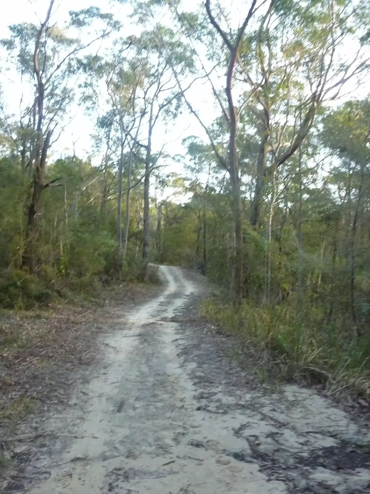
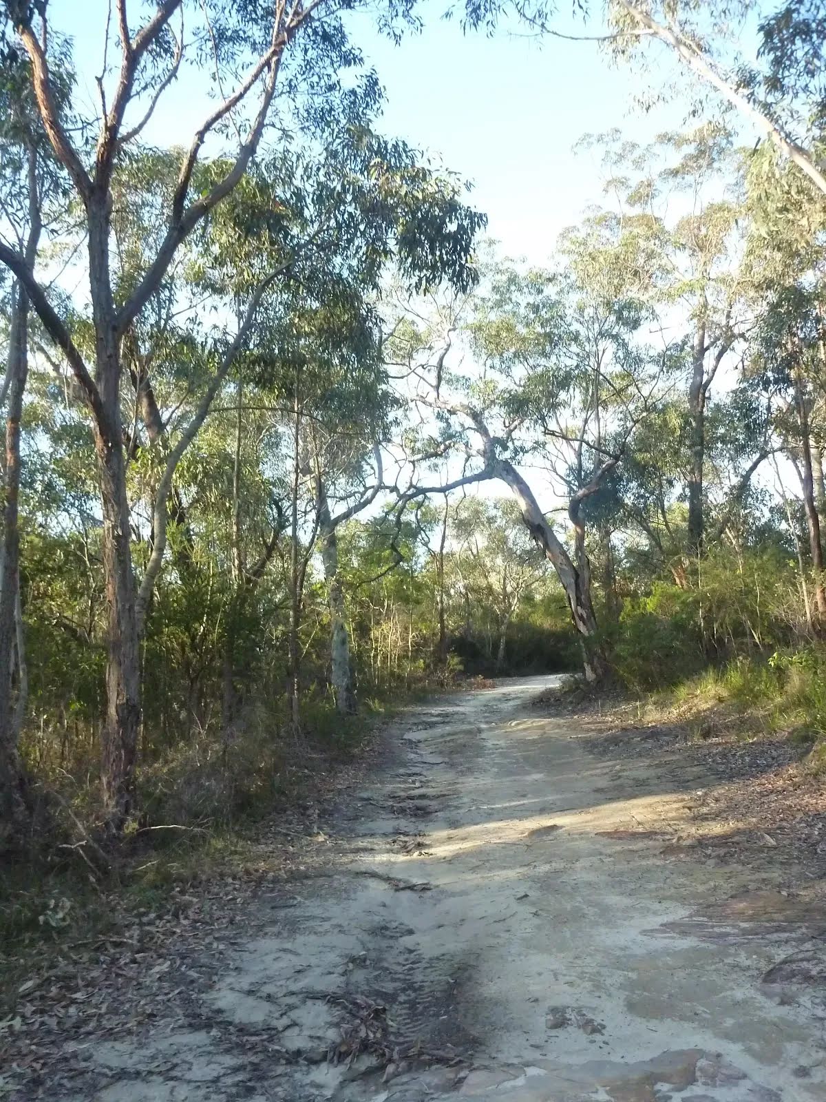
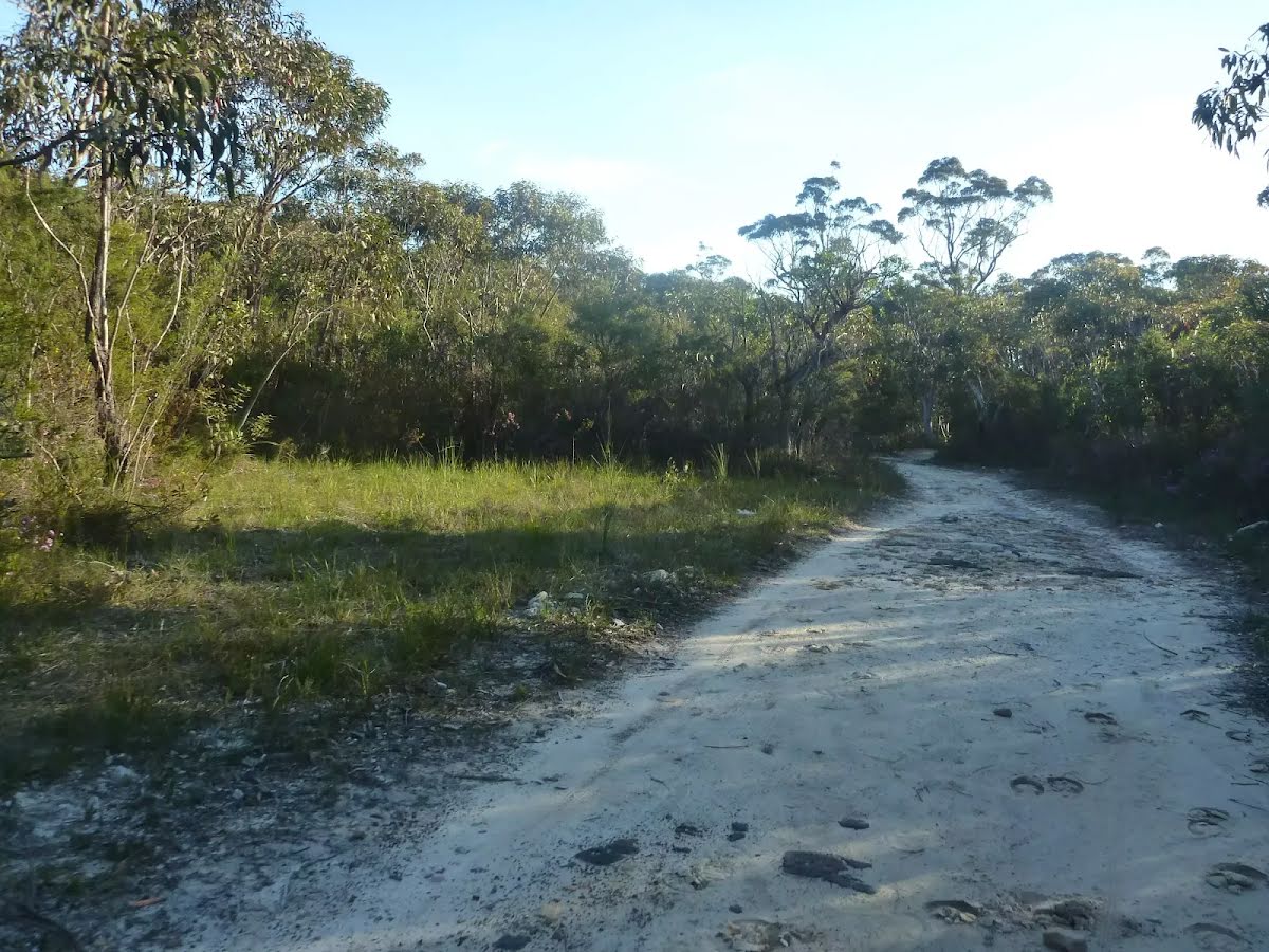
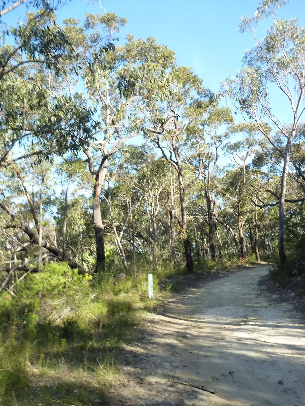
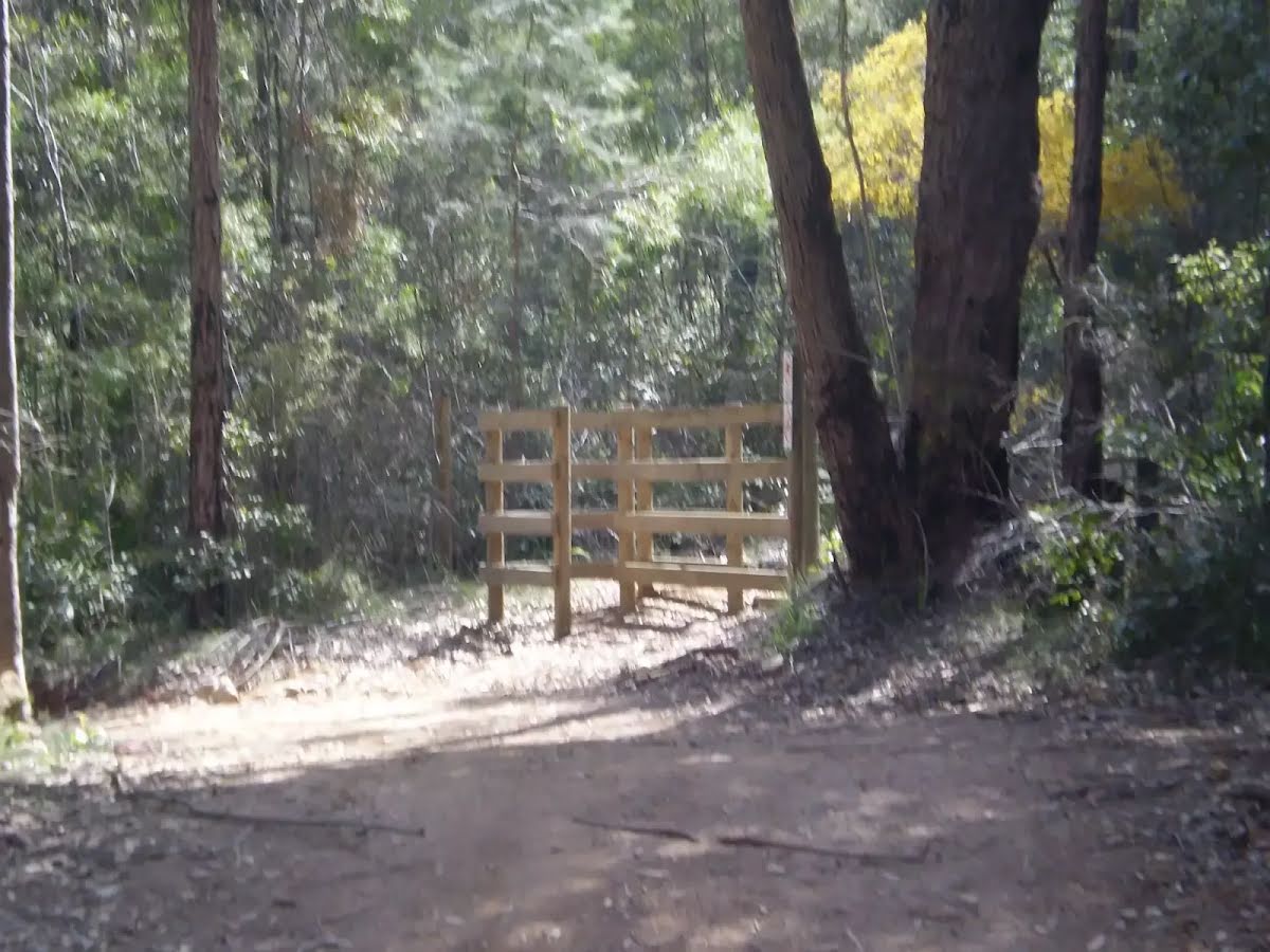
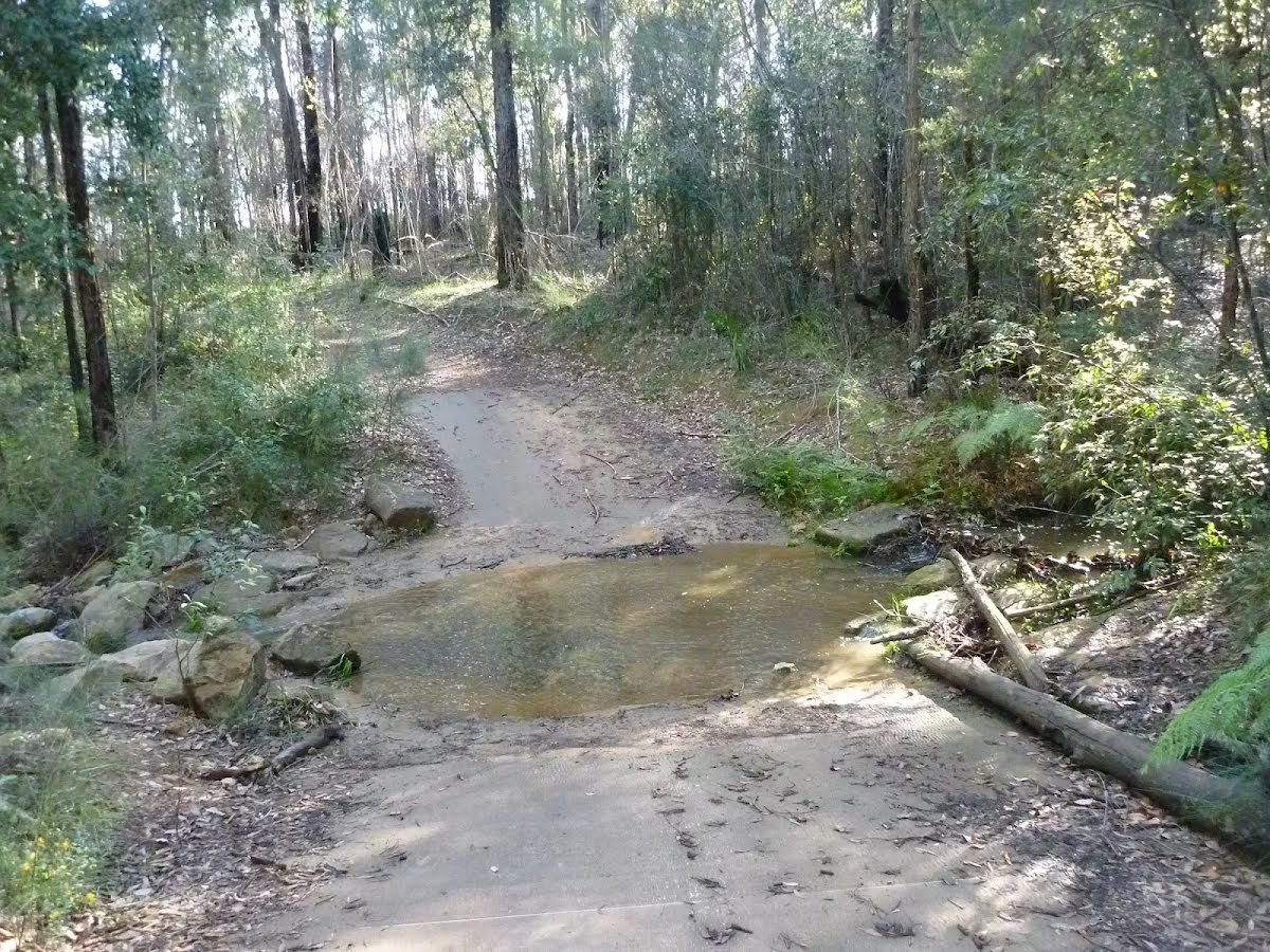
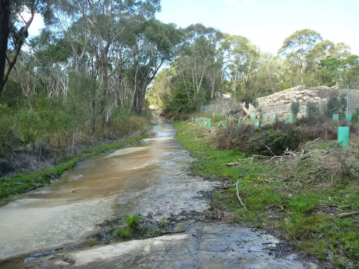
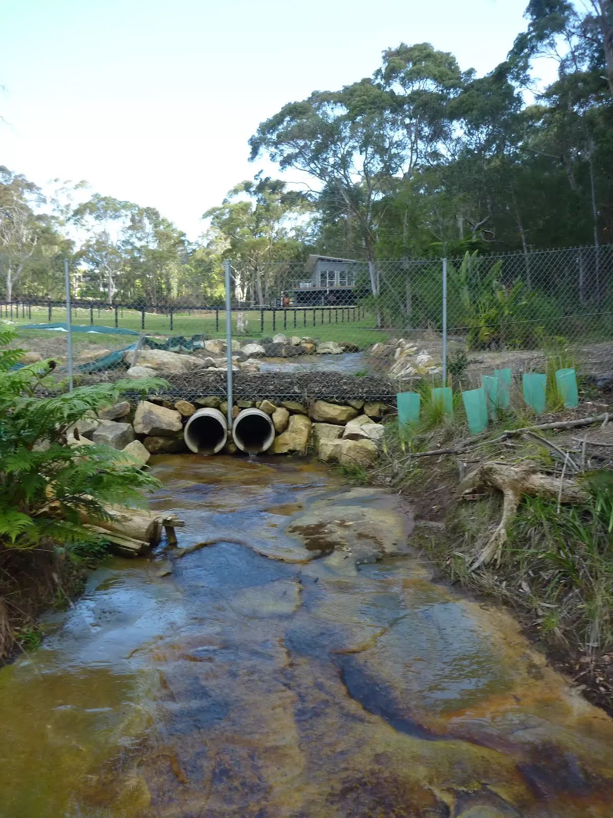
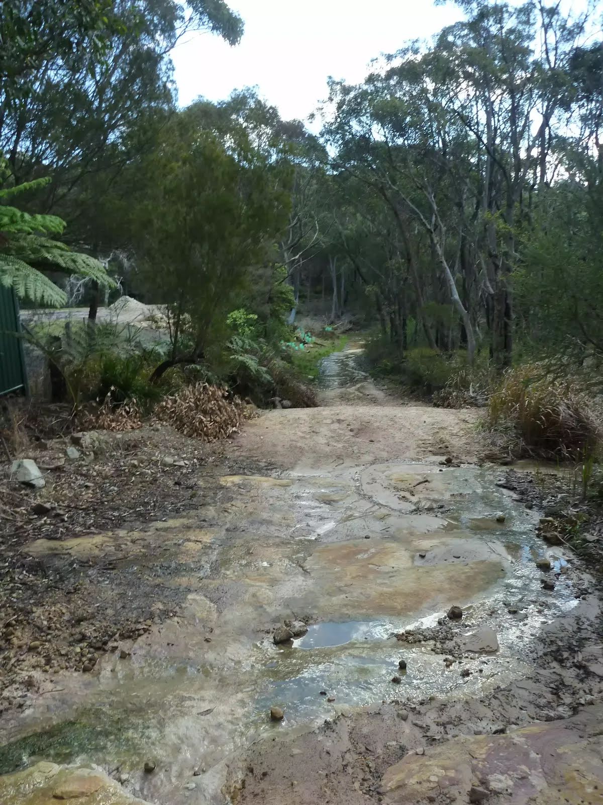
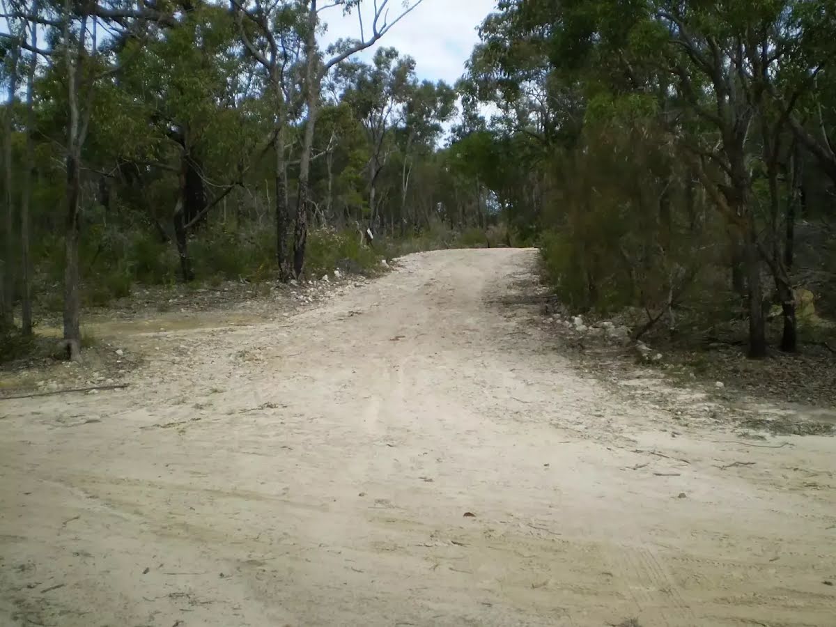
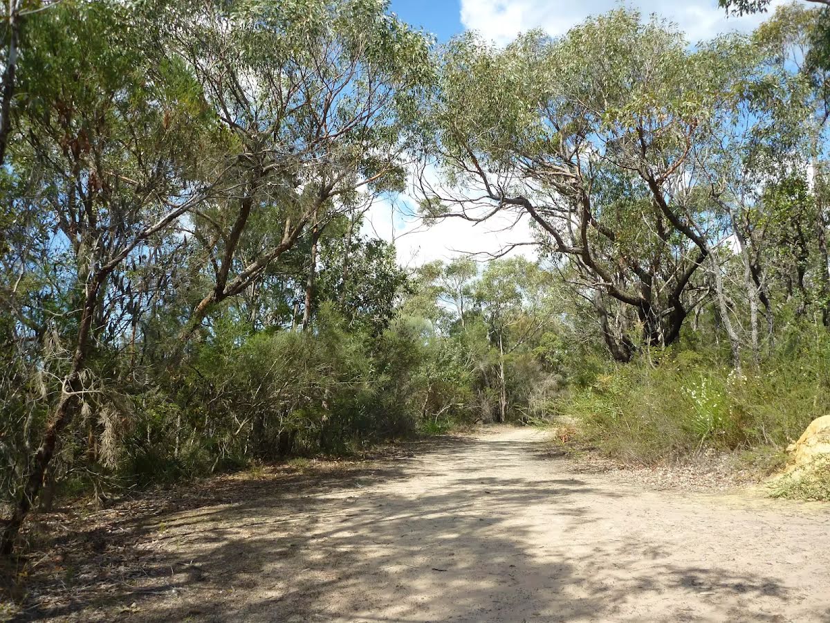
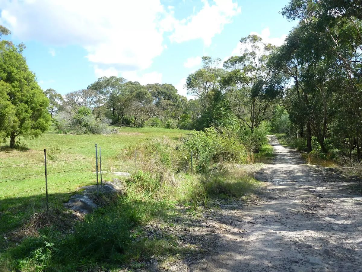
Other planned events: Brooklyn Dam trail maintenanceSurface works will be carried out on the Brooklyn Dam trail and Brooklyn Dam South trail until Friday 6 June 2025, weather permitting.
Walkers permitted but there may be delays. Please follow all signage and instructions from NPWS staff and contractors.
Penalties apply for non-compliance. For more information, contact the North Western Sydney area office on 02 8448 0400
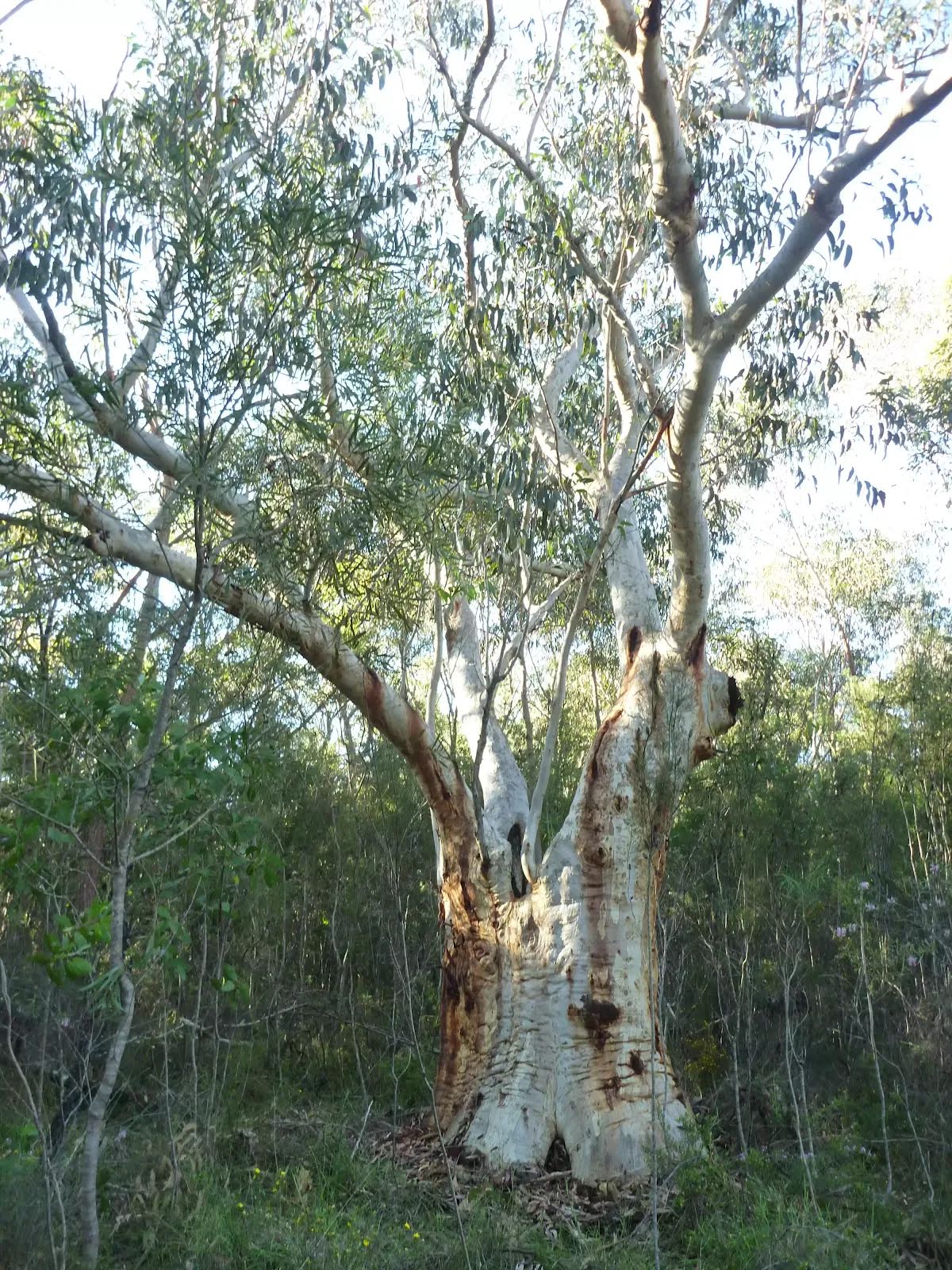
Other planned events: Fox Trapping ProgramNational Parks and Wildlife Service, Greater Sydney Branch (NPWS, GSB) is conducting an annual soft-jaw trapping program in Ku-ring-gai Chase National Park from 20 May to 10 June 2025.
The operation will use soft-jaw traps with lures for the control of foxes. The program is designed to minimise predator impacts on native wildlife, especially threatened species Southern brown bandicoot. Signs will be placed at the entrances to trap locations. Domestic pets are not permitted in NSW National Parks managed lands.
Pets and working dogs may be affected. Pets and working dogs must be restrained or muzzled in the vicinity and must not enter the trapping locations. In the event of accidental trapping seek immediate veterinary assistance. In the event of encountering a trapped animal, do not approach or contact the animal.
Please collect the location information of the incident and contact the local operator Mark Lamb on 0427 346 797 or the local officer Nick Henson on 0418 701 518.
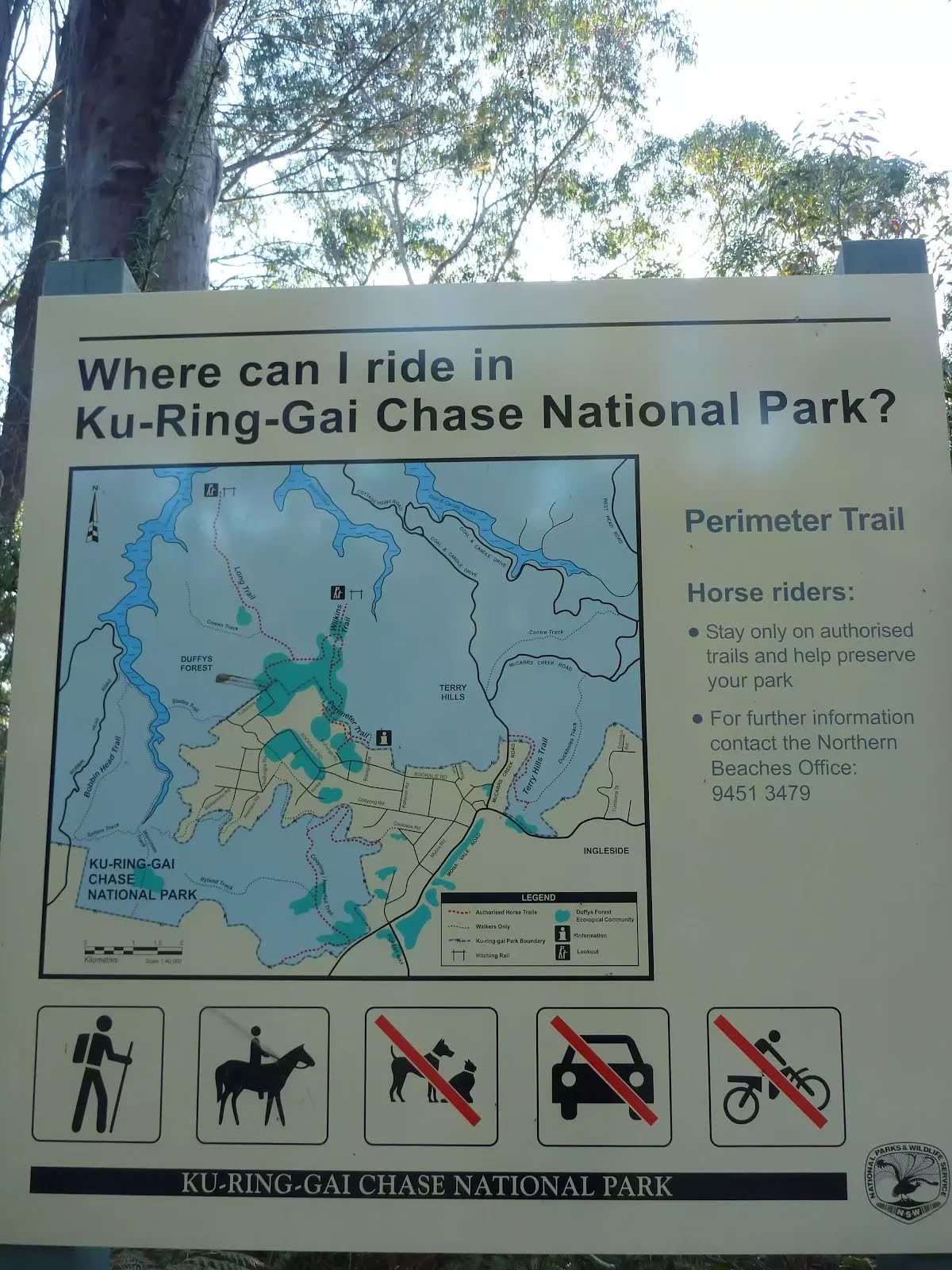
For more information, contact the NPWS Forestville office on 9451 3479 (business hours) or NPWS after-hours call centre on 1300 056 294 (after hours).
Closed areas: Resolute Beach closed for track maintenance during May 2025Access to Resolute Beach is closed from Friday 2 May to Saturday 31 May 2025 while the stairs are upgraded. During this period access to Resolute Beach is not possible using the walking track. The beach may still be accessed from the water.
Penalties apply for non-compliance. For more information, contact the local NPWS office.
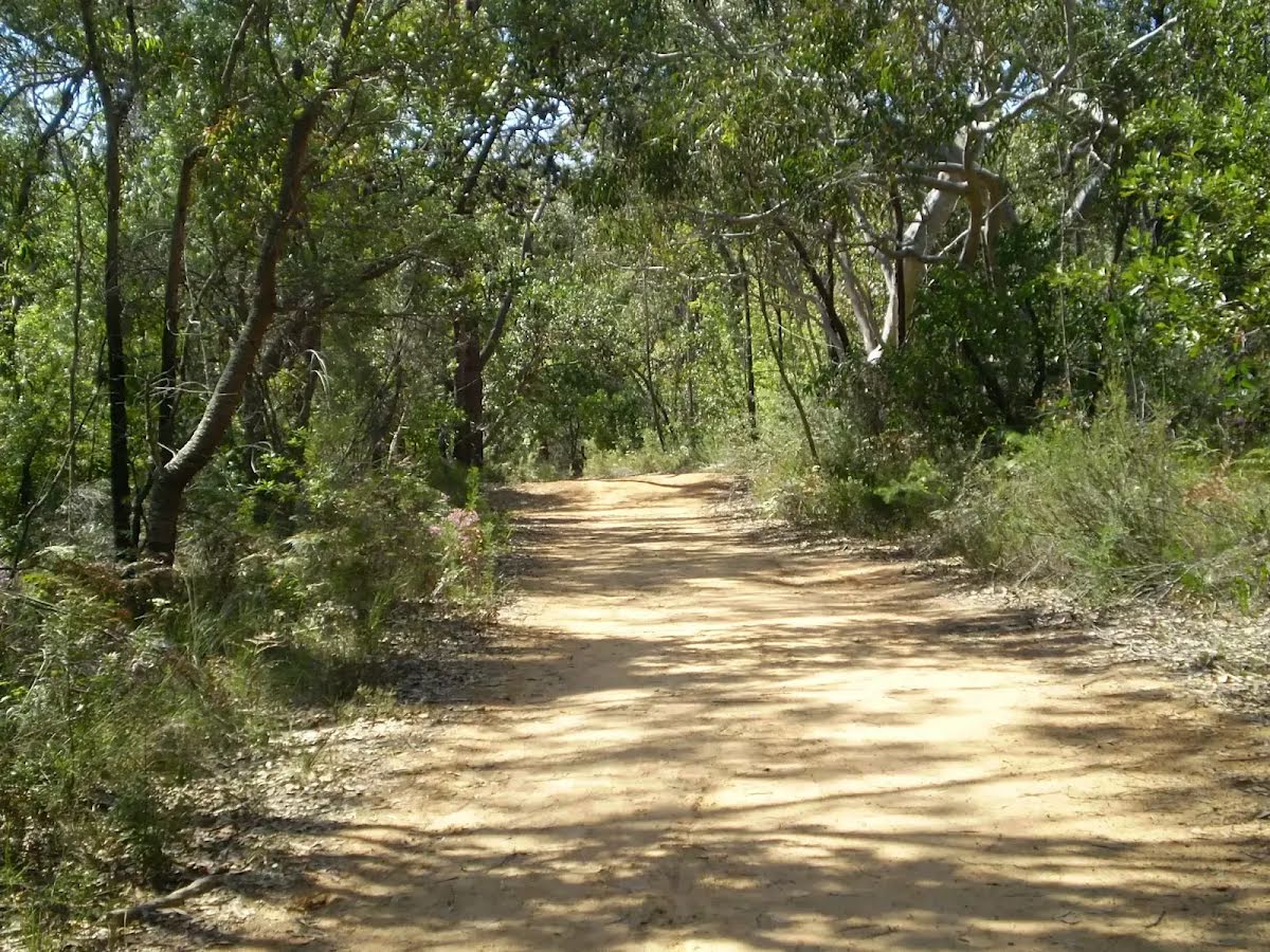
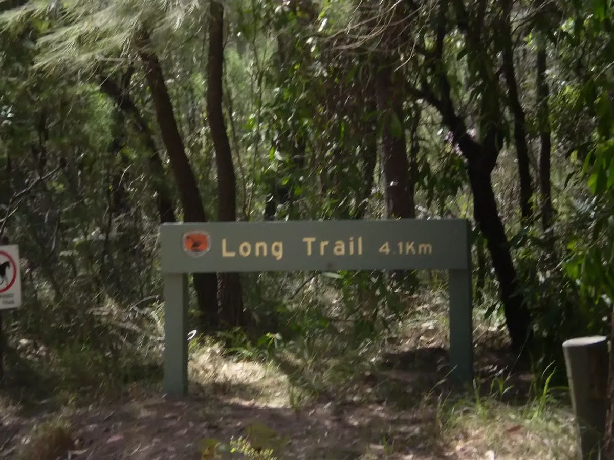
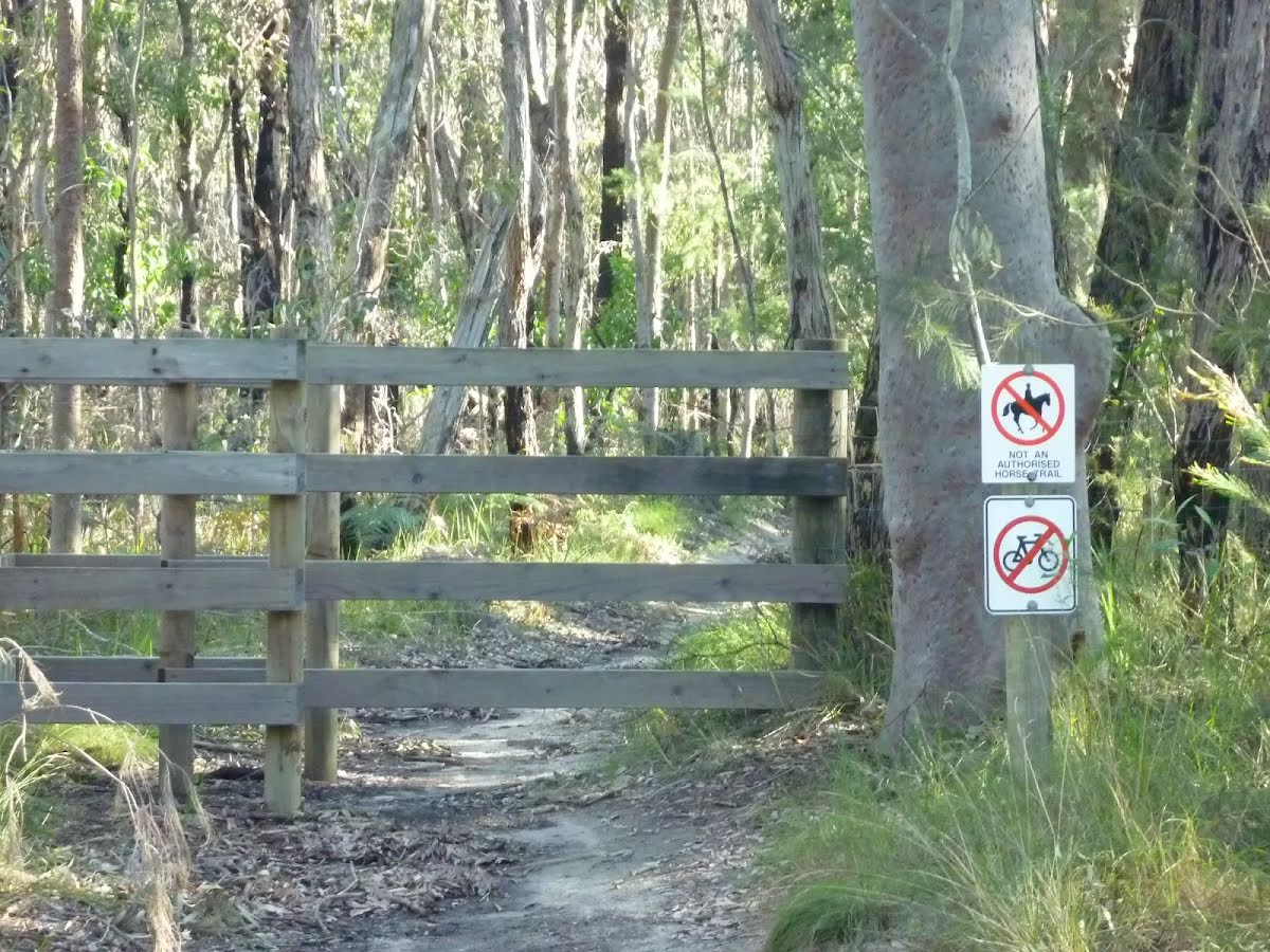
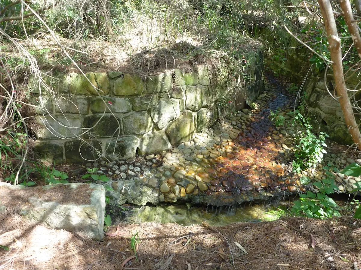
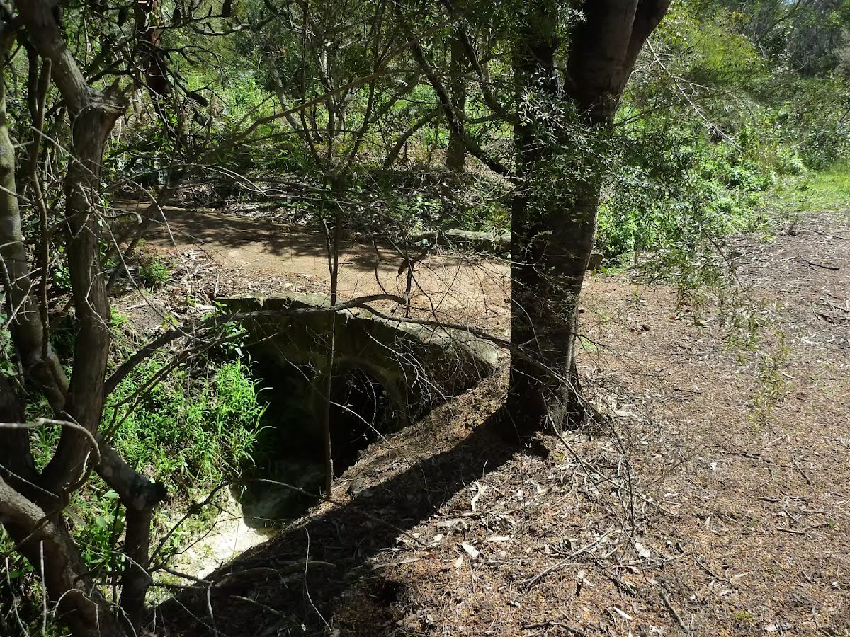
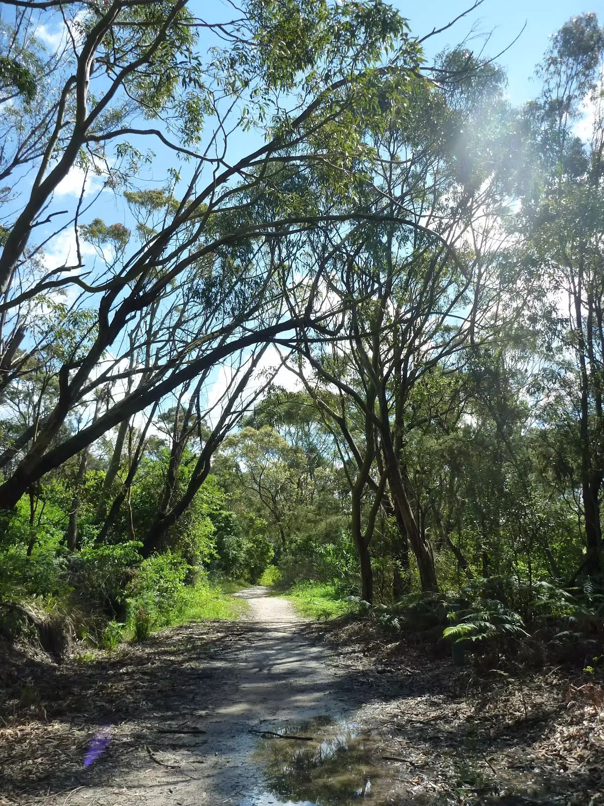
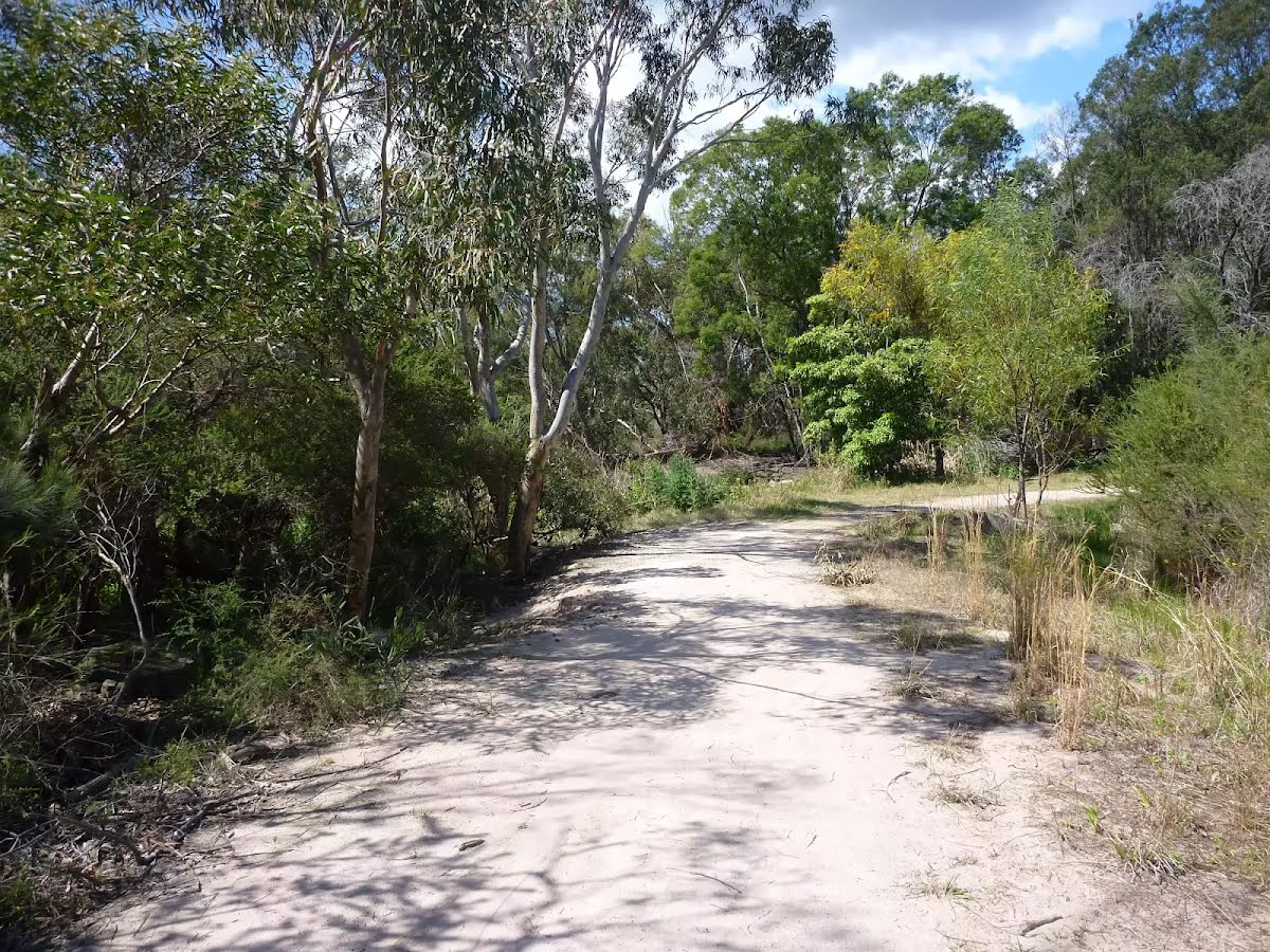
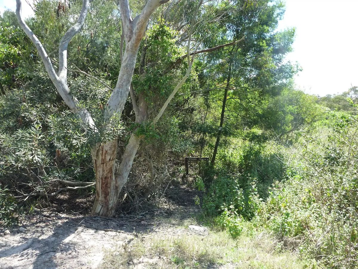
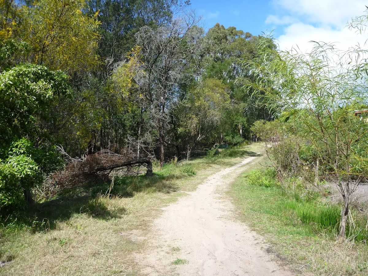
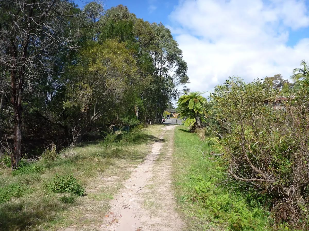
Closed areas: Berowra walking track partial closureBerowra walking track is partially closed from Apple Tree Bay to the Mt-Ku-ring-gai access track until further notice. There is a threat of rockfalls due to slope instability caused by recent weather events. NPWS is in the process of carrying out necessary repair works.
The Berowra walking track from Berowra Station to Mt Ku-ring-gai is open for use.
Penalties apply for non-compliance. For more information, contact the local NPWS office on 02 8448 0400 or call 1300 072 757 (13000 PARKS).
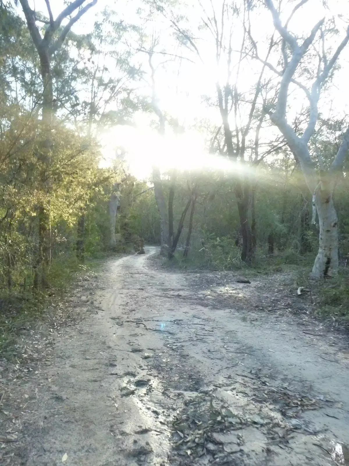
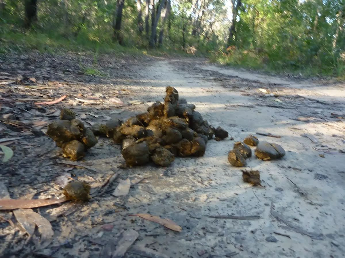
Other planned events: 1080 pest management in Ku-ring-gai Chase National ParkNSW National Parks and Wildlife Service will be conducting an aerial baiting program using dried meat baits containing 1080 poison (sodium fluroacetate) for the control of foxes. The program will occur between Wednesday 7 and Friday 9 May 2025 in
West Head, Ku-ring-gai Chase National Park. Do not touch baits.
Penalties apply for non-compliance.
All baiting locations are identifiable by signs.
Domestic pets are not permitted in NSW national parks and reserves. Pets and working dogs may be affected (1080 is lethal to cats and dogs). In the event of accidental poisoning seek immediate veterinary assistance.
Fox baiting in this reserve is aimed at reducing their impact on threatened species.
For more information, contact the local park office on:
Forestville: 02 9451 3479 (business hours)
NPWS after-hours call centre: 1300 056 294 (after hours)
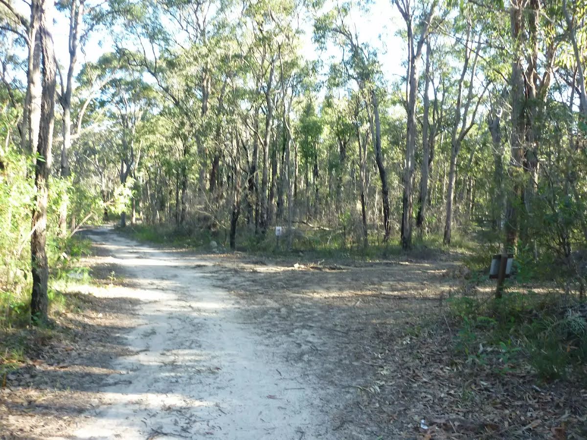
Other planned events: ‘1080 pest management’NSW National Parks and Wildlife Service will be conducting a baiting program using manufactured baits, fresh baits and Canid Pest Ejectors (CPEs) containing 1080 poison (sodium fluroacetate) for the control of foxes. The program is continuous and ongoing between 1 February 2025 and 31 July 2025 in
Ku-ring-gai Chase National Park. Don’t touch baits or ejector devices. Penalties apply for non-compliance.
All baiting locations are identifiable by signs.
Domestic pets are not permitted in NSW national parks and reserves. Pets and working dogs may be affected (1080 is lethal to cats and dogs). Pets and working dogs must be restrained or muzzled in the vicinity and must not enter the baiting location. In the event of accidental poisoning seek immediate veterinary assistance.
Fox baiting in these reserves is aimed at reducing their impact on threatened species.
For more information, contact the local park office on:
Forestville 9451 3479 or Lane Cove 8448 0400 (business hours)
NPWS after-hours call centre: 1300 056 294 (after hours)
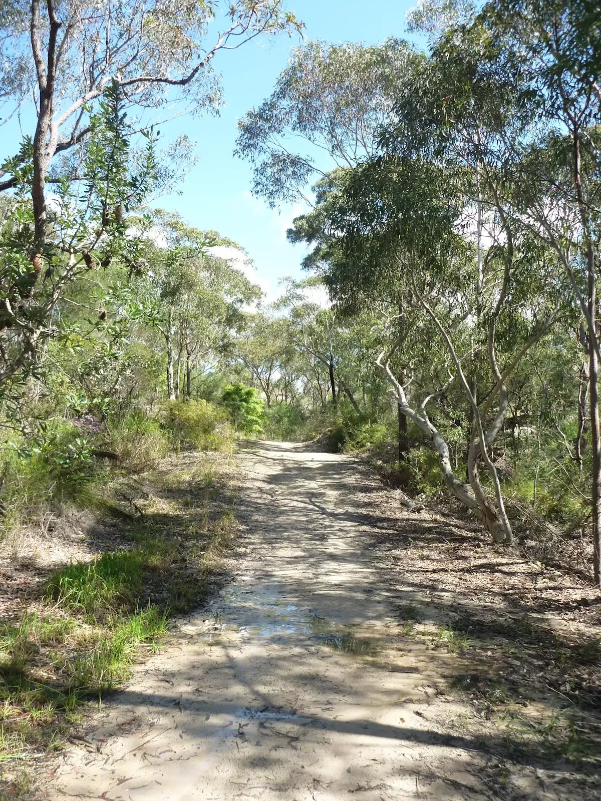
Closed areas: North Mackerel track closed and Mackerel trail partially closedNorth Mackerel track is permanently closed due to a potential risk of rockfalls and unstable cliff edges in the Great Mackerel Beach area.
The only designated land access to or from Great Mackerel Beach is via Mackerel track to the north, which intersects with Resolute track.
Due to land instability and risk to personal safety, there is no through or return access to or from the following places:
- The south end of Great Mackerel Beach via The Basin or Mackerel trail
- The west of Great Mackerel Beach via North Mackerel track, which is closed.
Please be aware of the risks associated with visiting natural areas, including rock falls, unstable edges, falling branches and interactions with wildlife.
For more information, contact the local NPWS office.
Alert kindly provided by © NSW Nataional Parks and Wildlife Service