


| Segment |
|
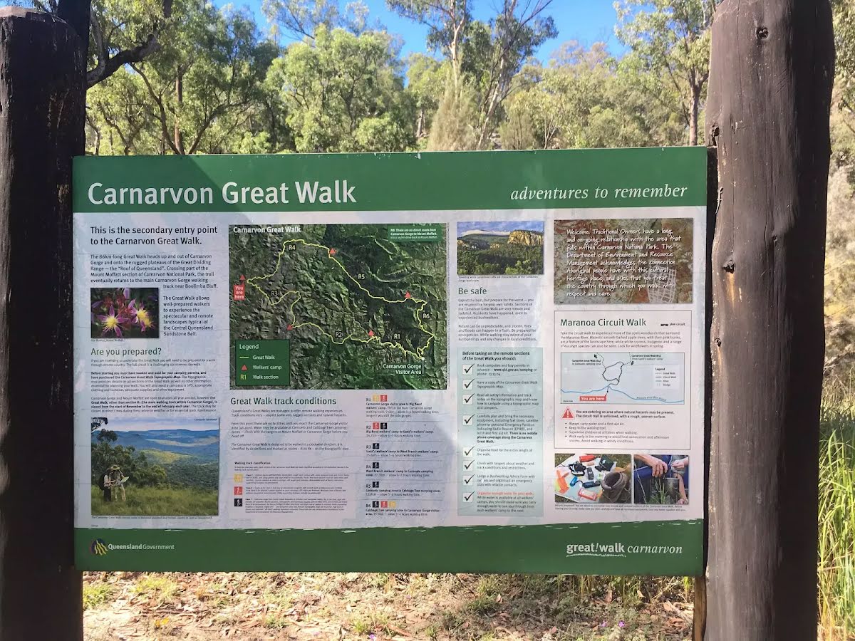
| Full Journey | Carnarvon Great Walk |
| Start | (-25.0252568,148.0700799) |
| Finish | (-24.9732063,148.0121629) |
| Mode (end) |

|
|
Class 5/6 Very challenging |
|---|---|
| Length | 16.7 km |
| Time | 5 h to 6 h 30 min |
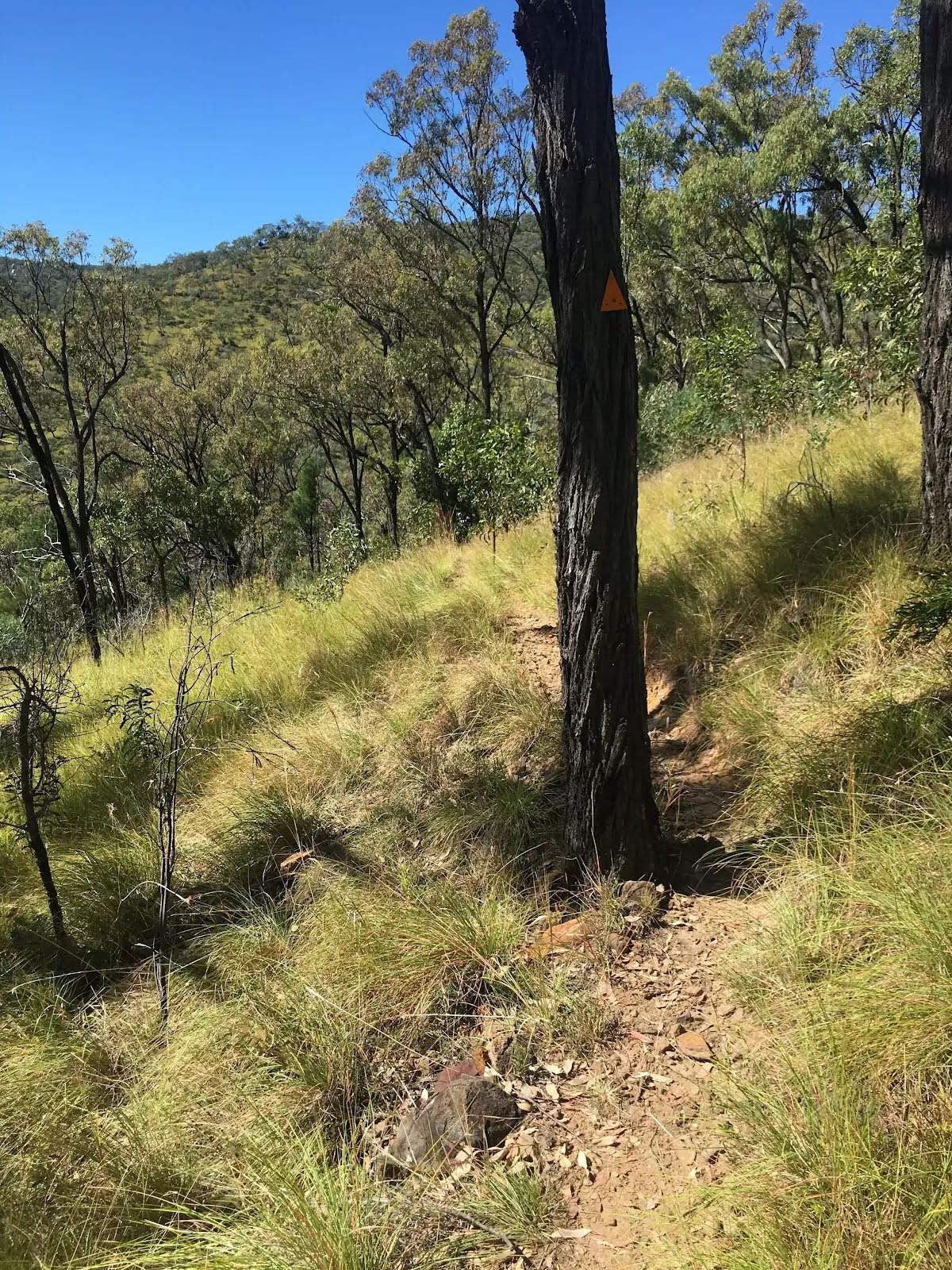
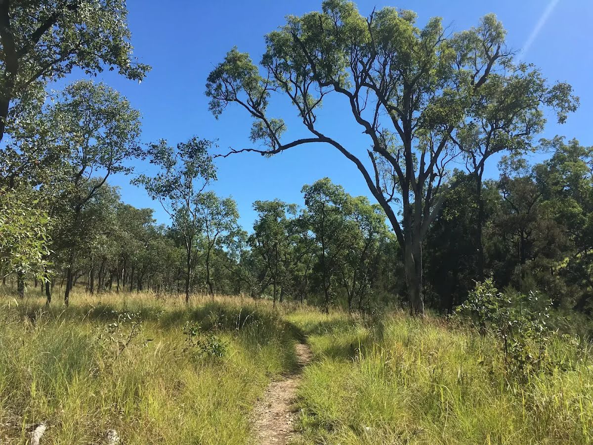
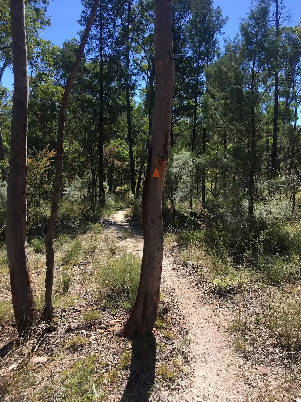
| Quality of track | Formed track, with some branches and other obstacles (3/6) |
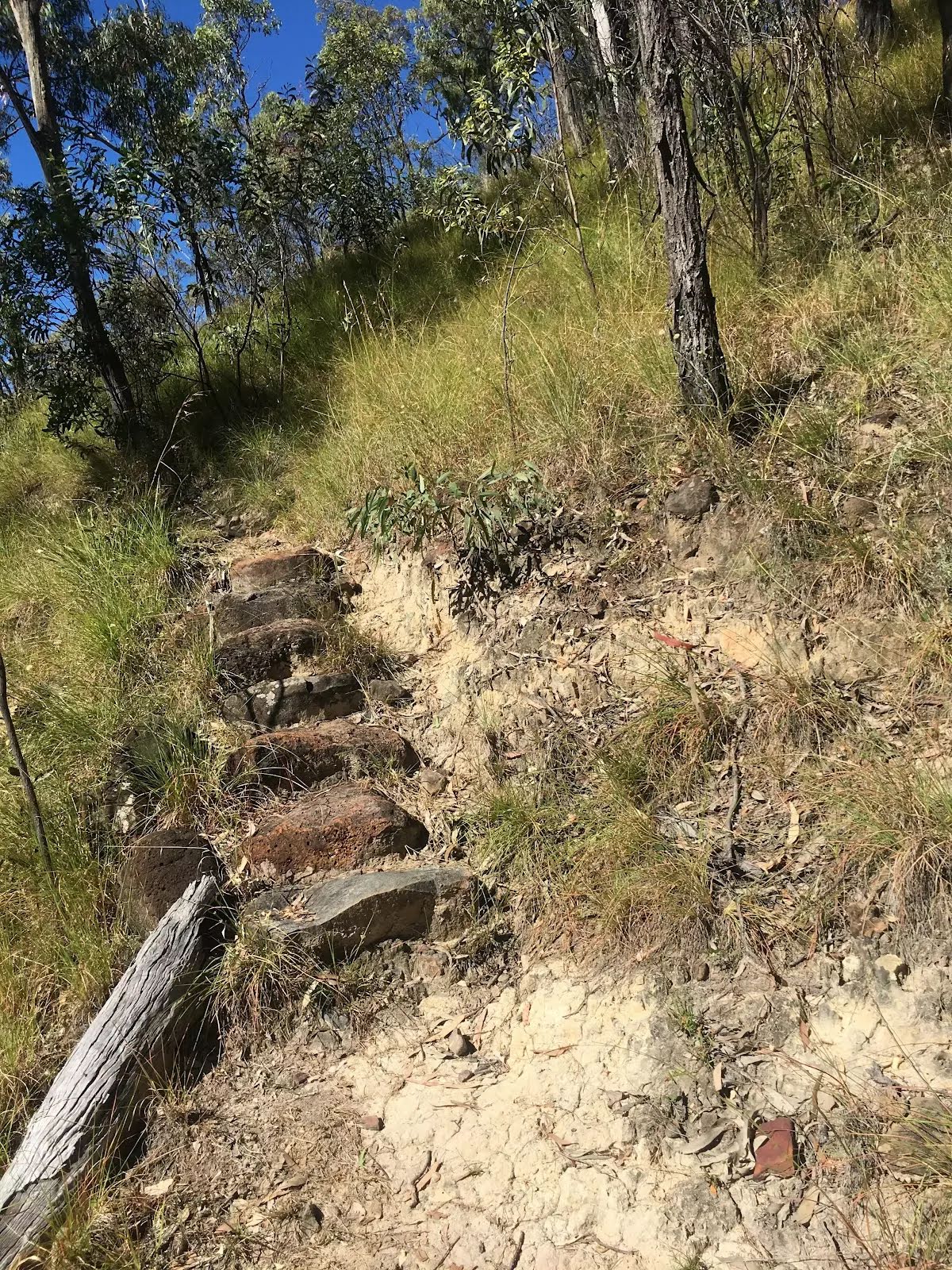
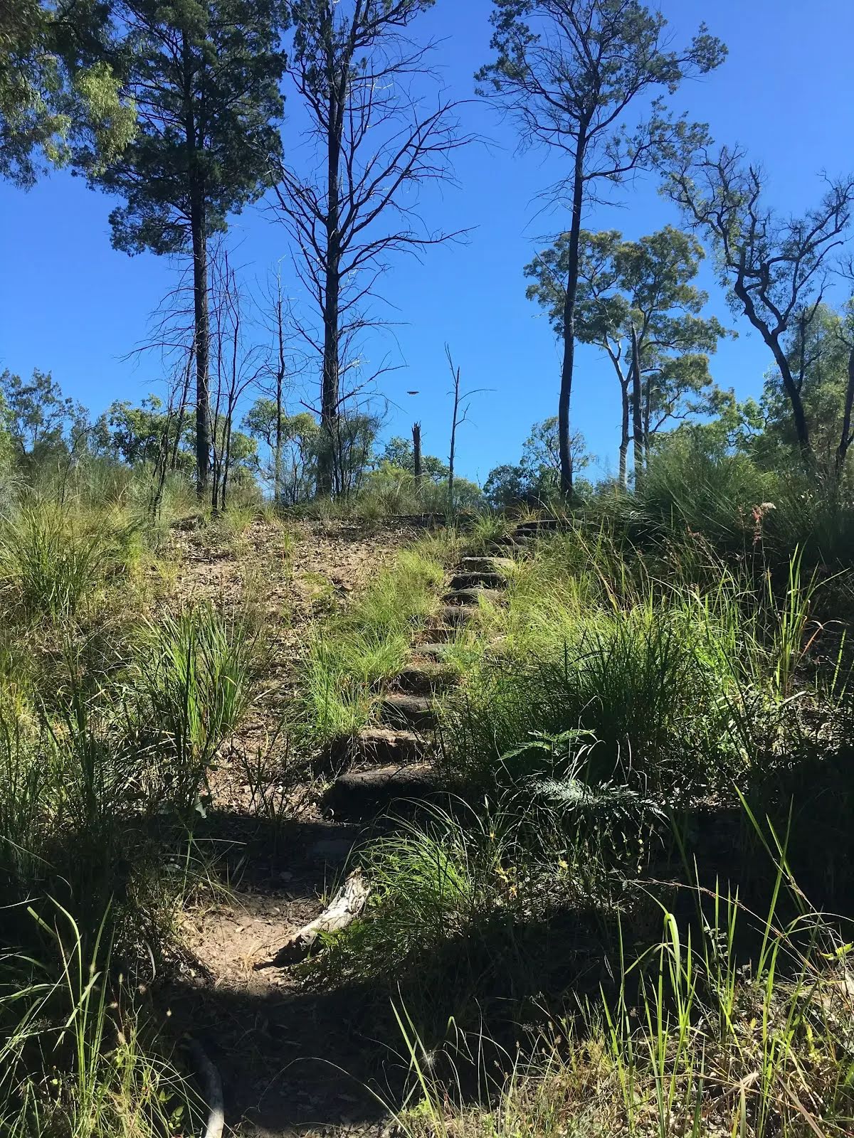
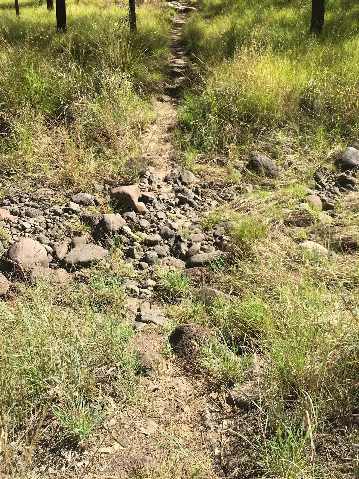
| Gradient | Very steep and difficult rock scrambles (5/6) |
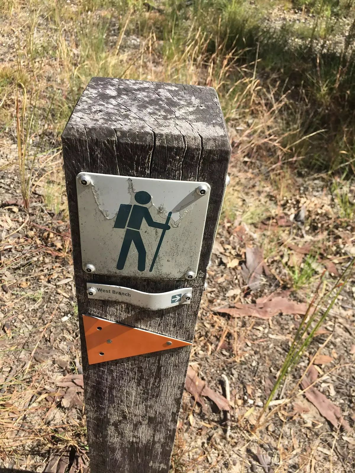
| Signage | Directional signs along the way (3/6) |
| Infrastructure | Limited facilities, not all cliffs are fenced (3/6) |
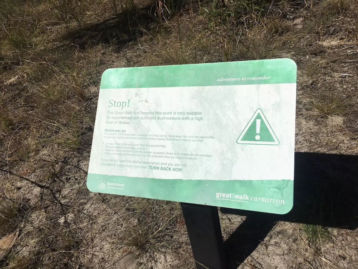
| Experience Required | Moderate level of bushwalking experience recommended (4/6) |
| Weather | Storms may impact on navigation and safety (3/6) |
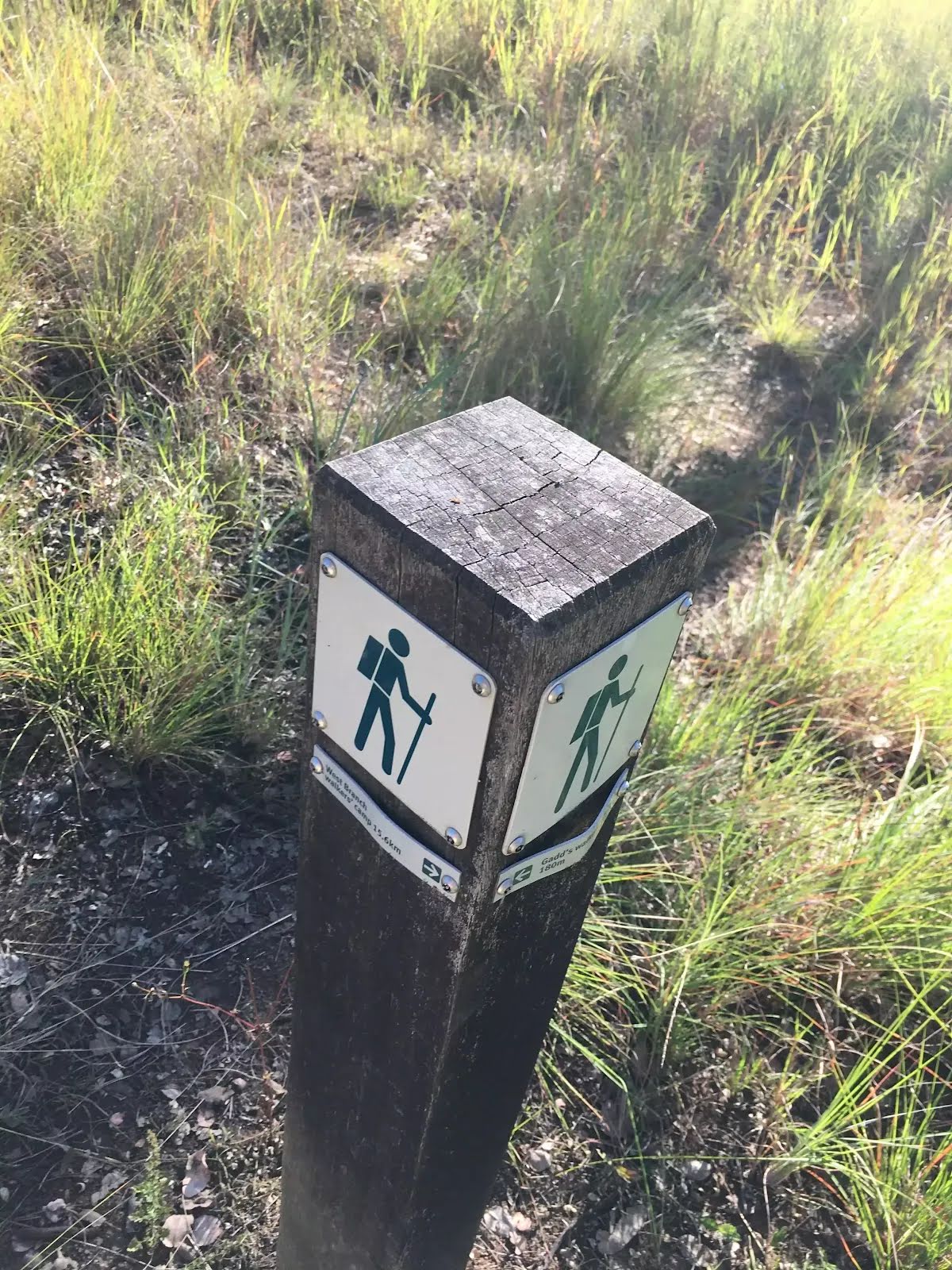
| Item | From Start | Name & link to notes |
|---|---|---|
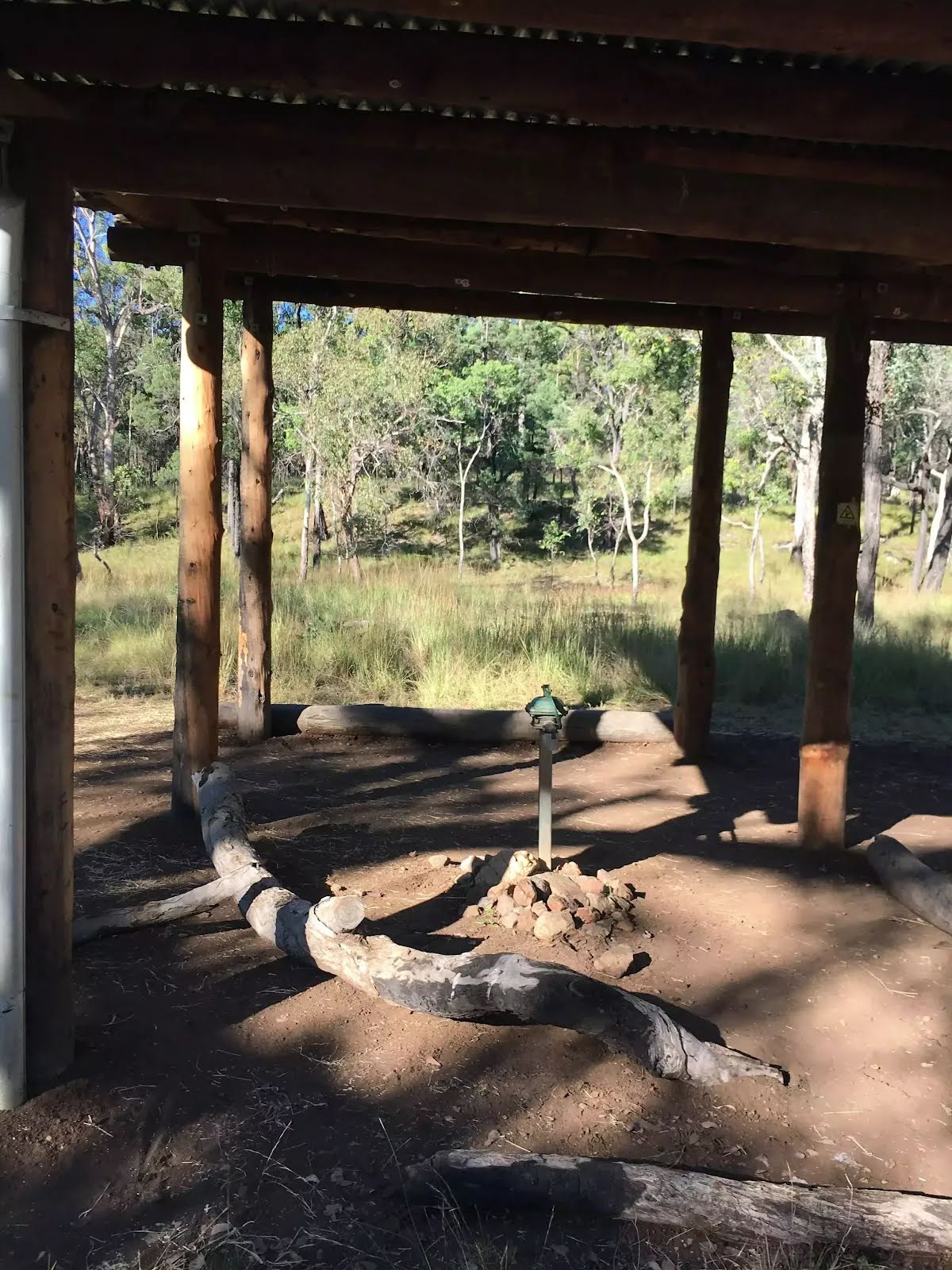
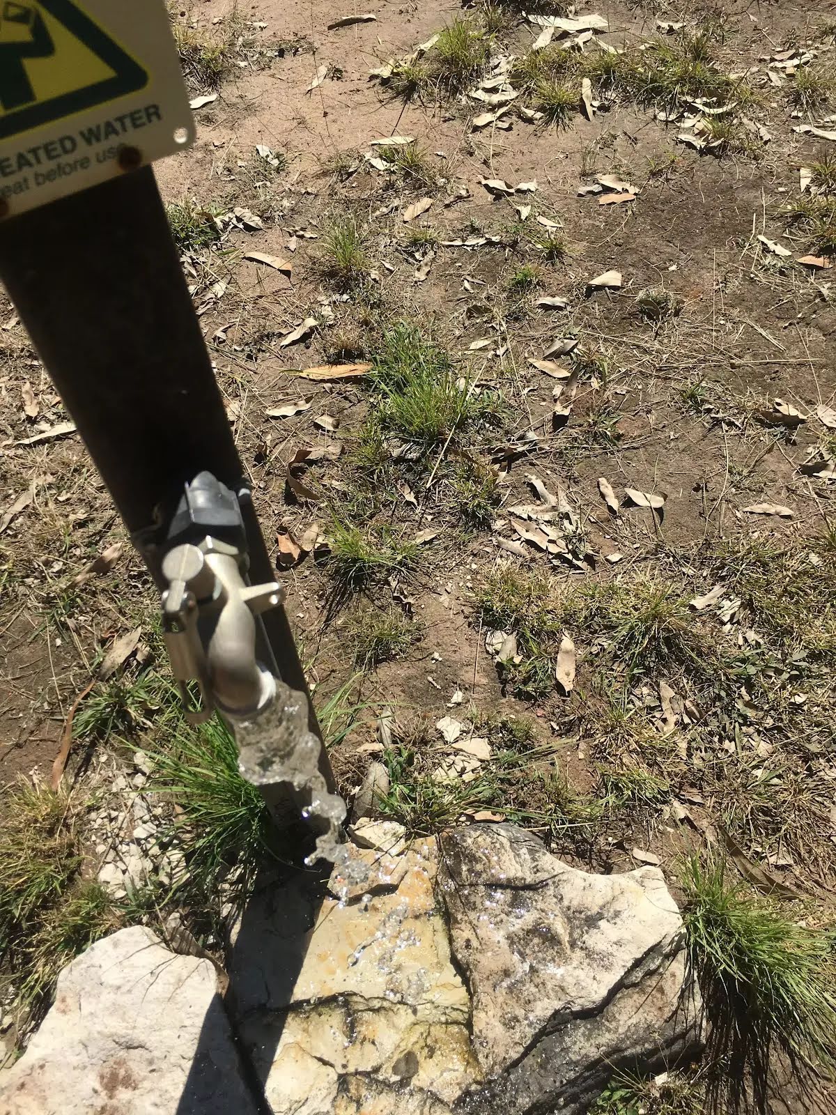
Toilet
| -46 m | [toilet] |
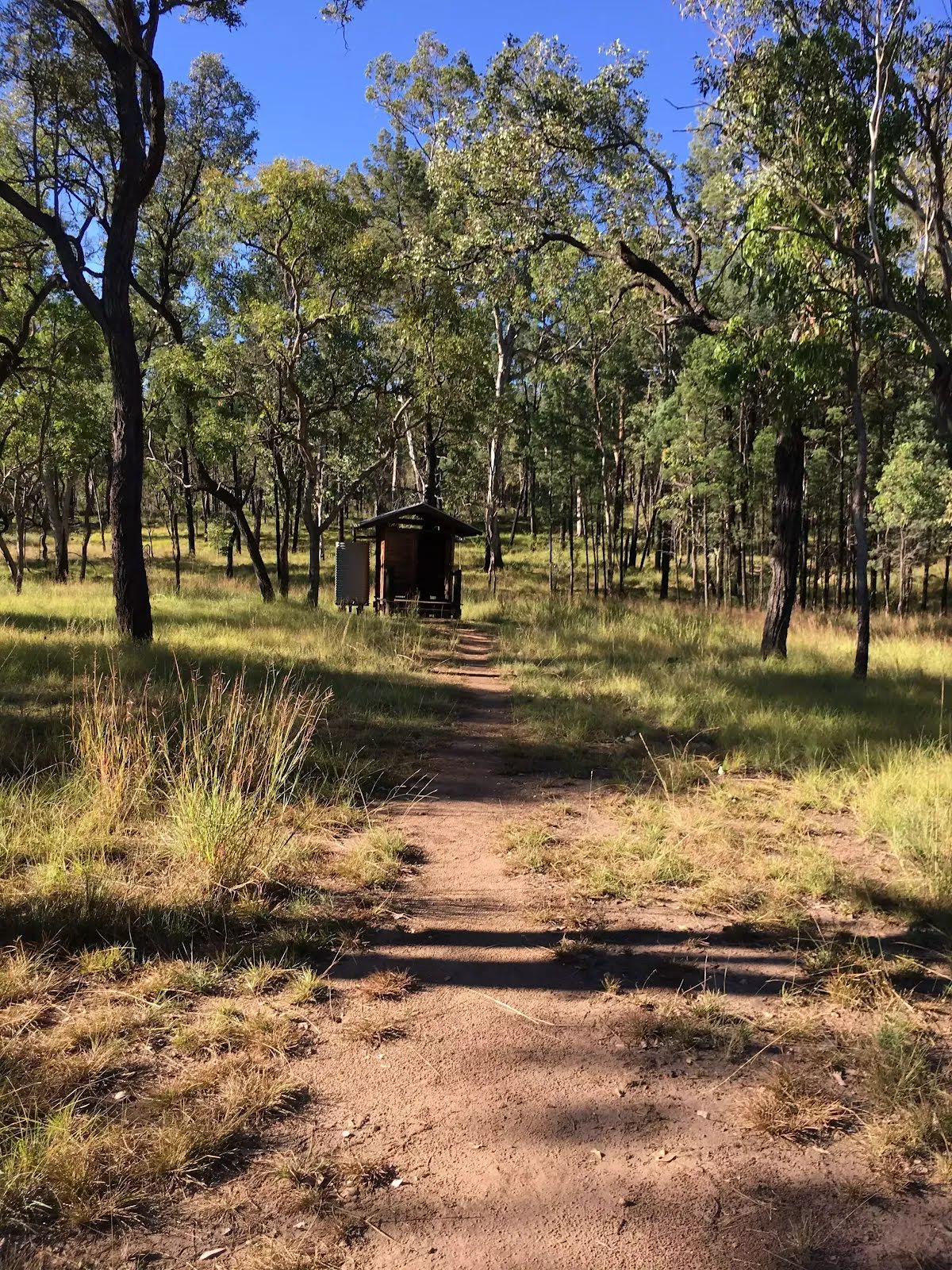
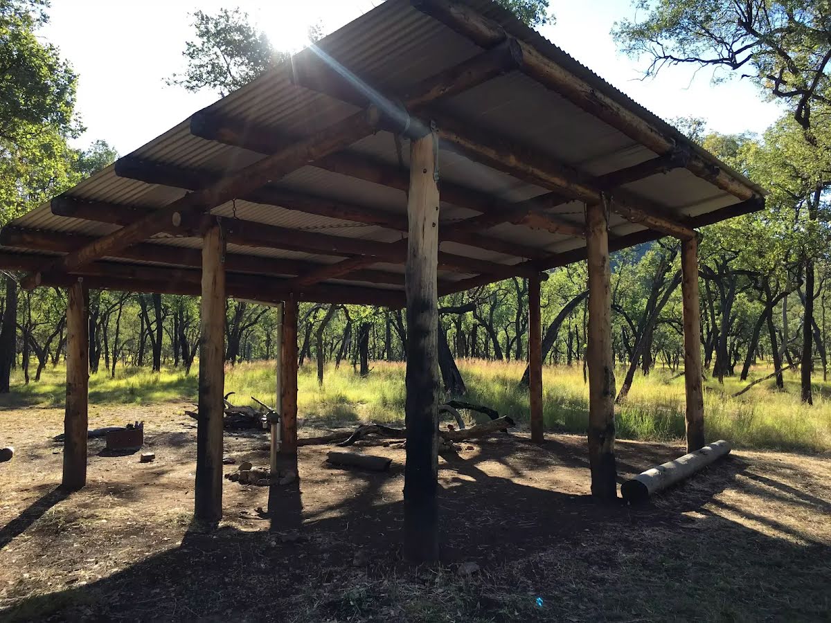
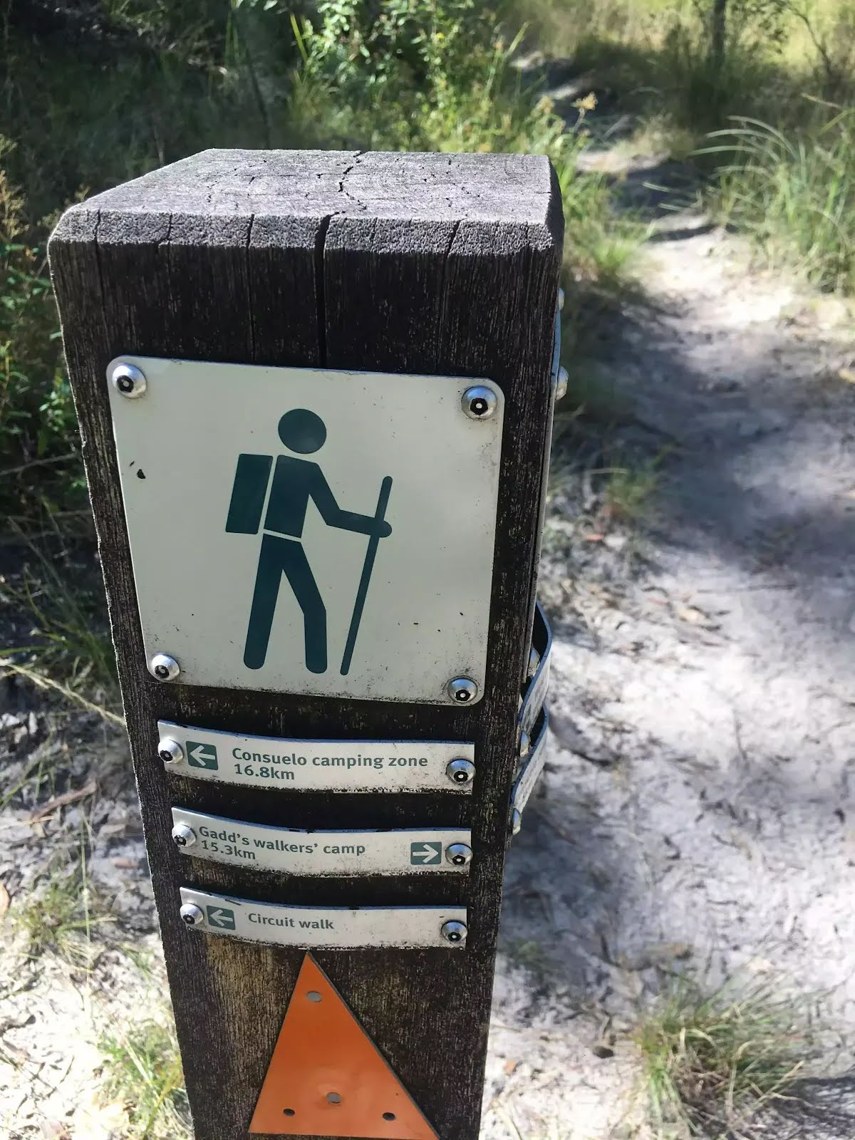
Camp site
| 5 m | Gadd's walkers' camp |
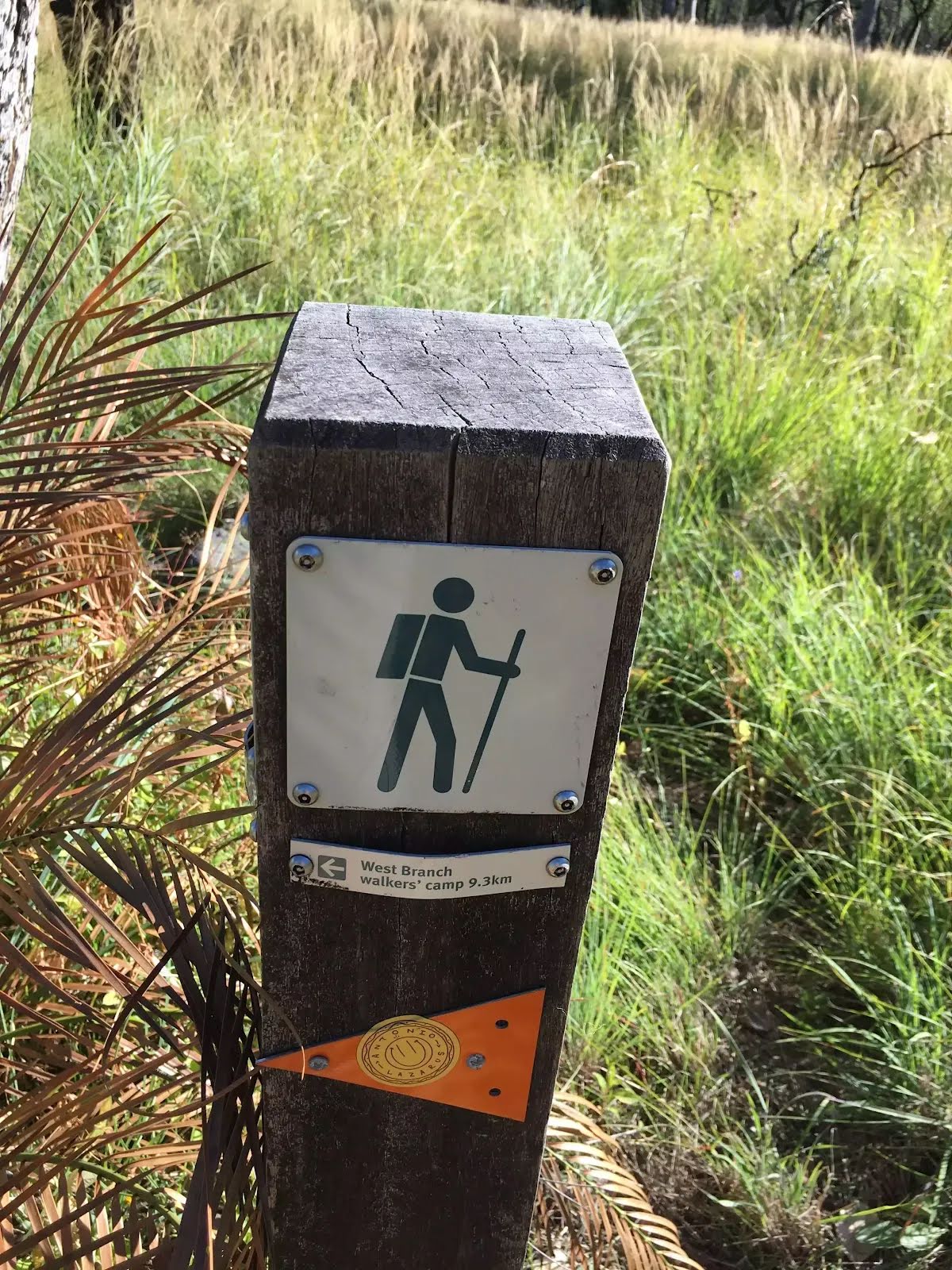
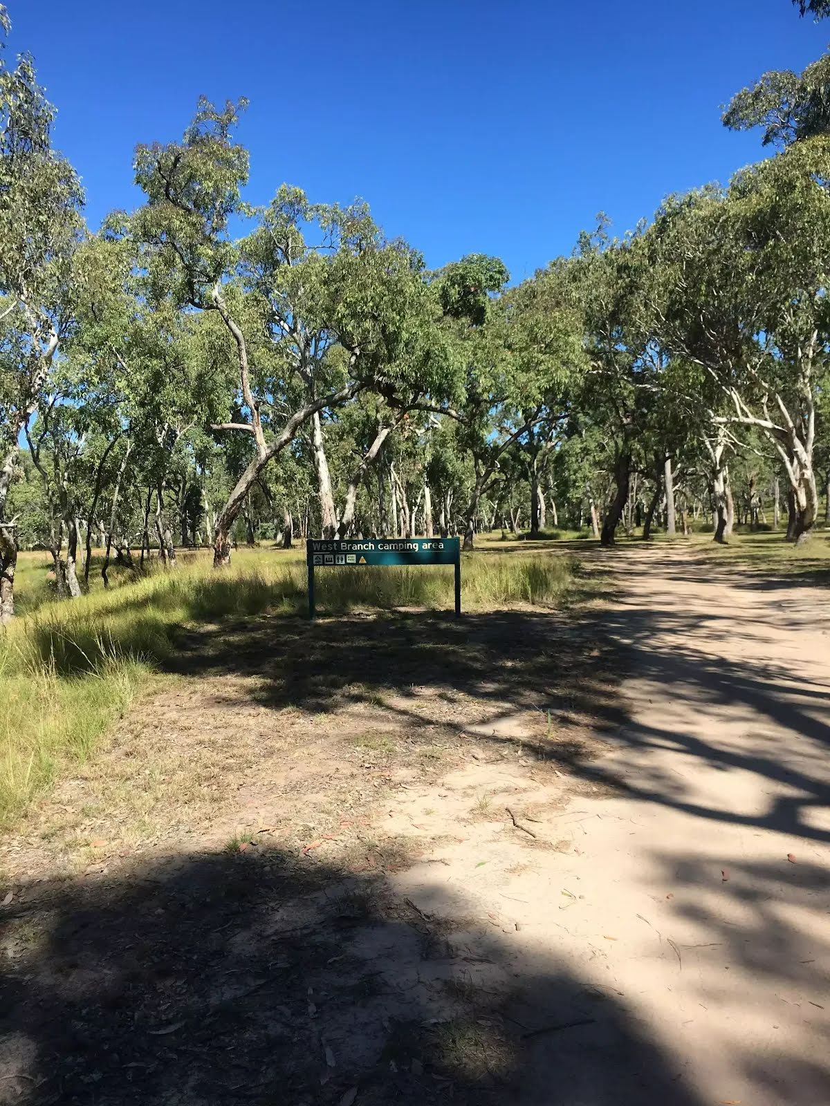
Camp site
| 16.5 km | West Branch walkers' camp |
Toilet
| 16.7 km | [toilet] |
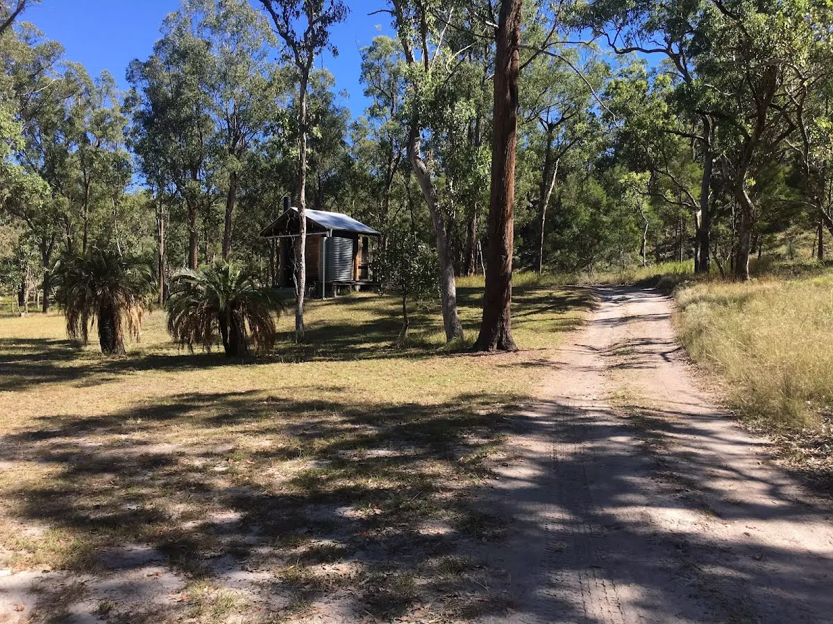
Camp site
| 16.7 km | West Branch camping area |


