
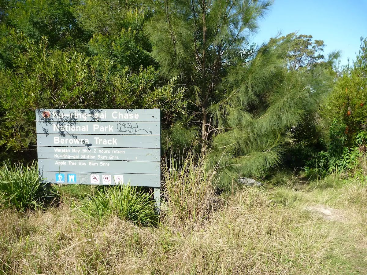


| Start | (-33.623172,151.1533134) |
| Mode | Car (The train station is on the Pacific Hwy about 10 km north of Hornsby. There is parking in the area (although this can fill up mid week with commuters). Parking is permitted in many of the back streets.) Train |
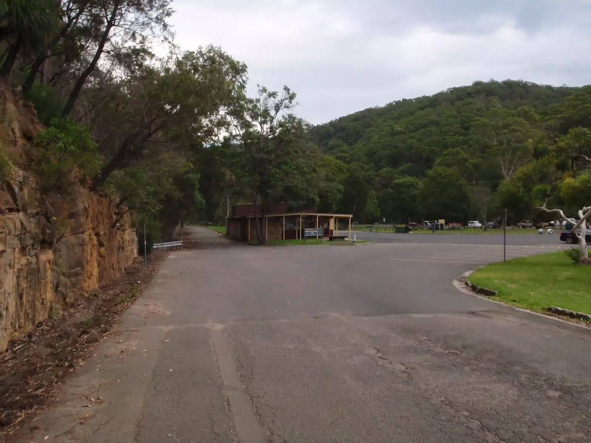
| Finish | (-33.6602805,151.1592789) |
| Mode (end) | Car Shuttle Car (Parking fees apply in the area.) |

|
|
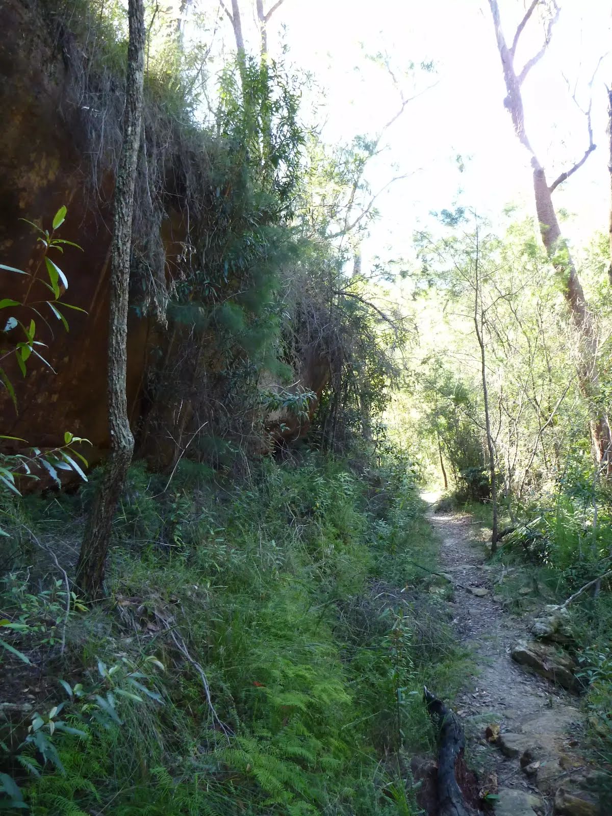
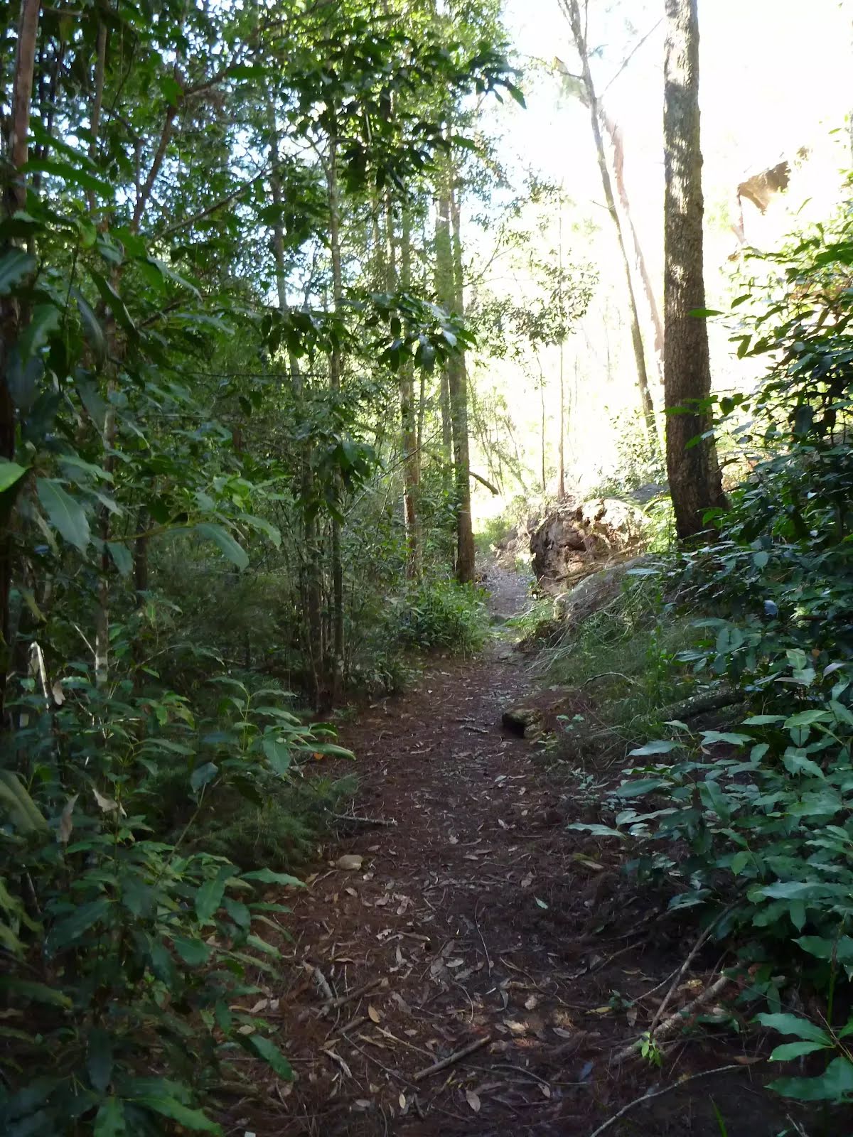
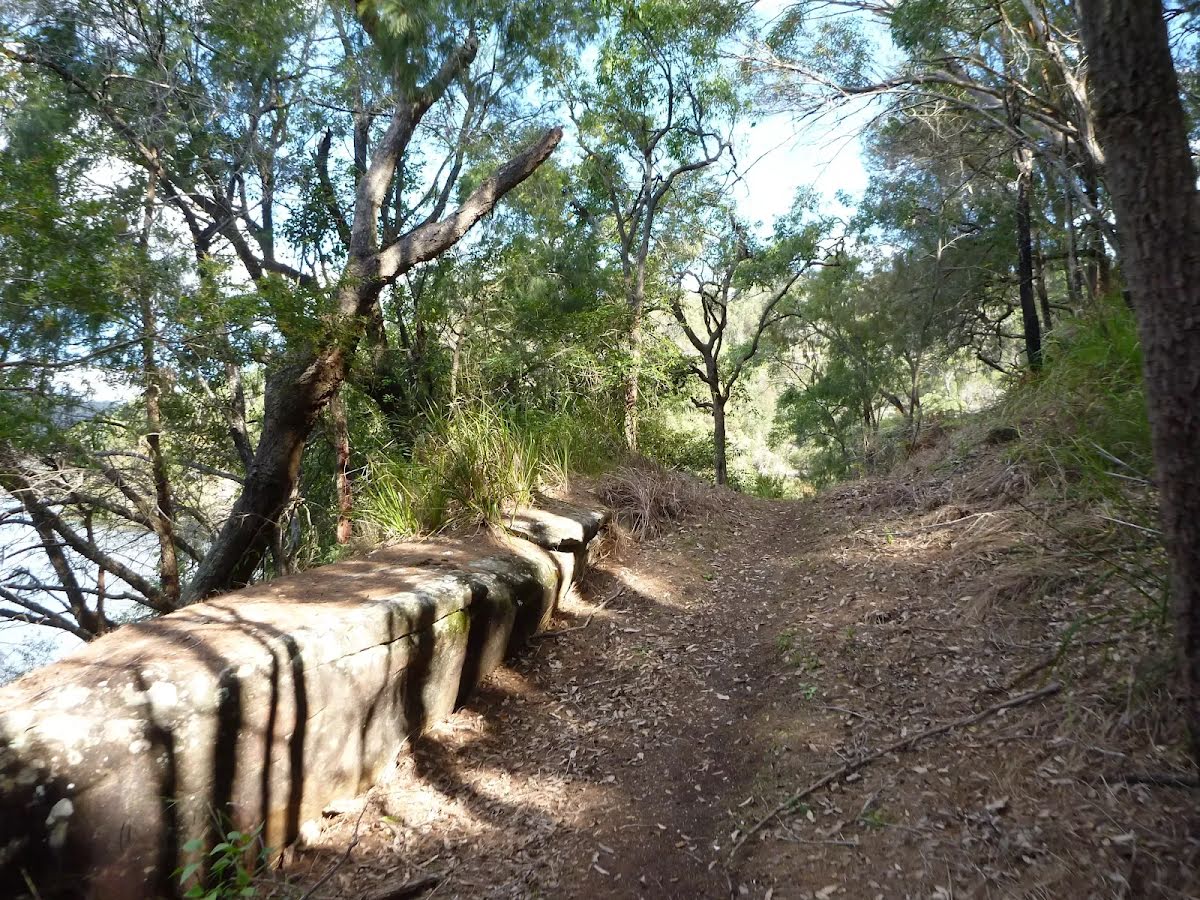
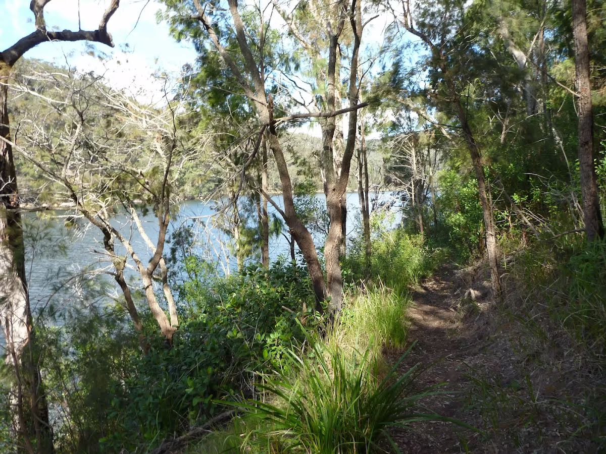
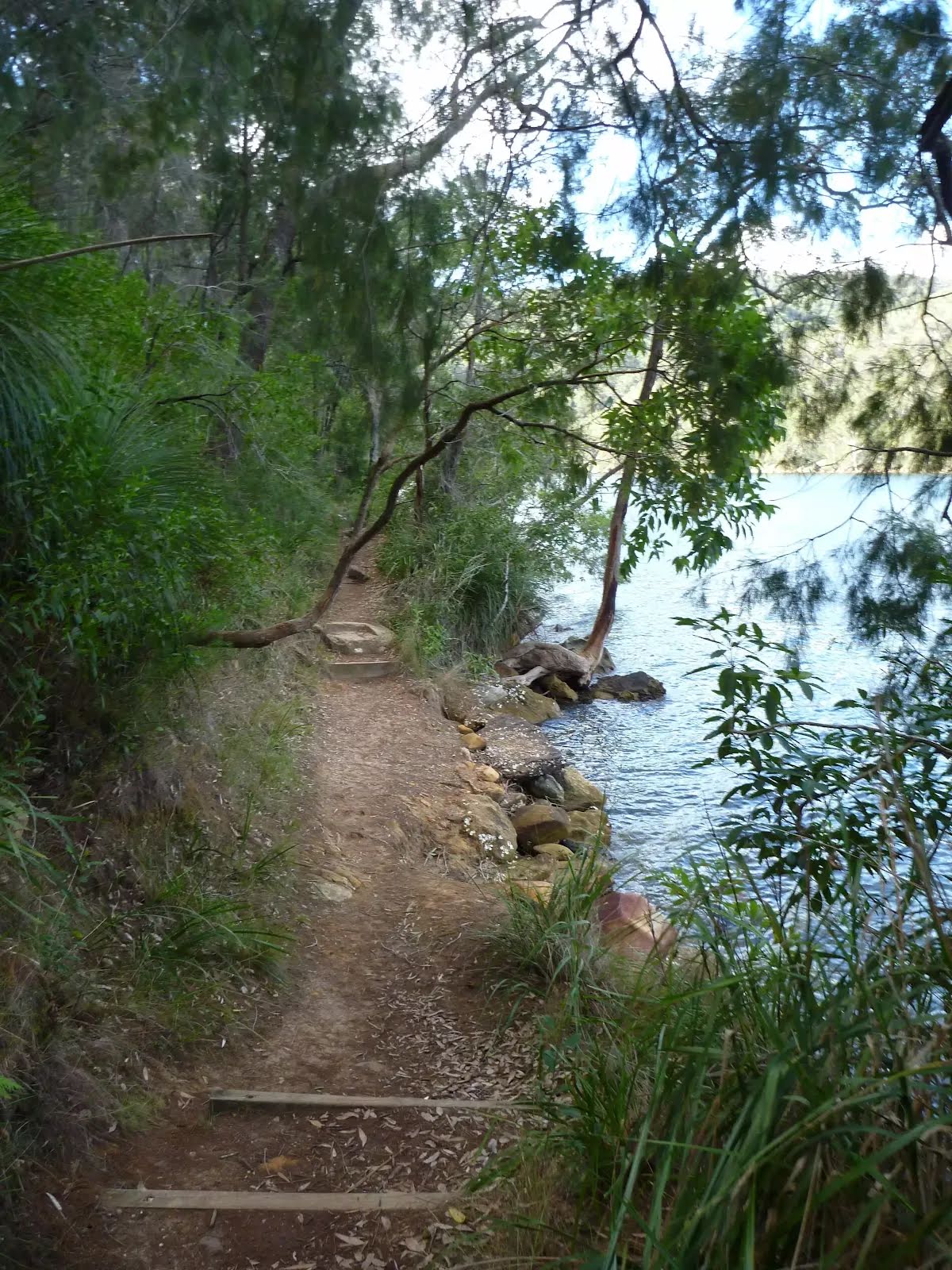
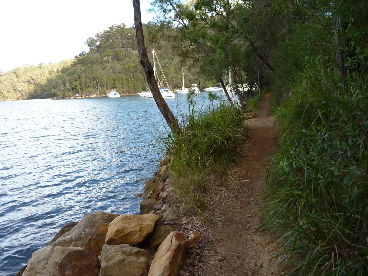
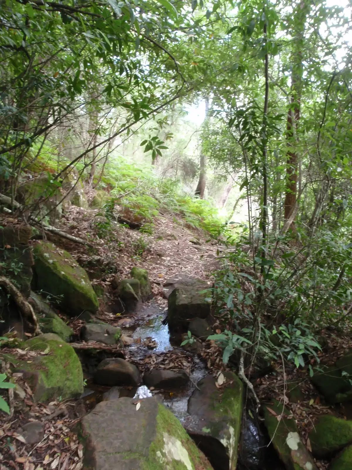
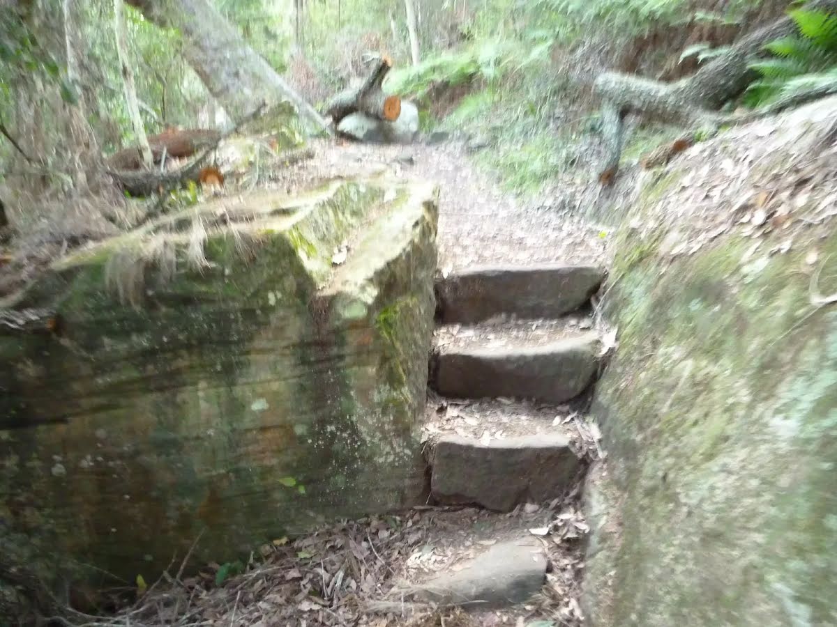
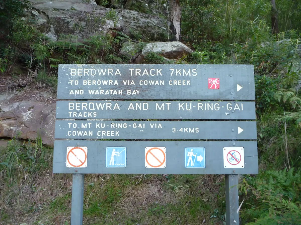
Class 4/6 Hard track |
|---|---|
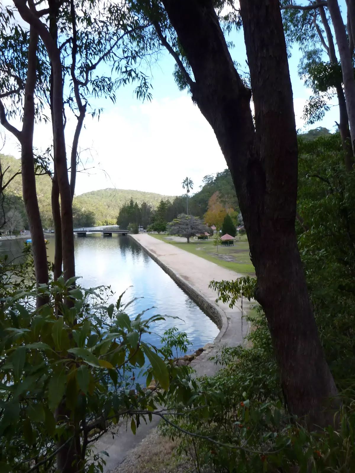
| Length | 8.9 km |
| Time | 3 h 45 min to 4 h |
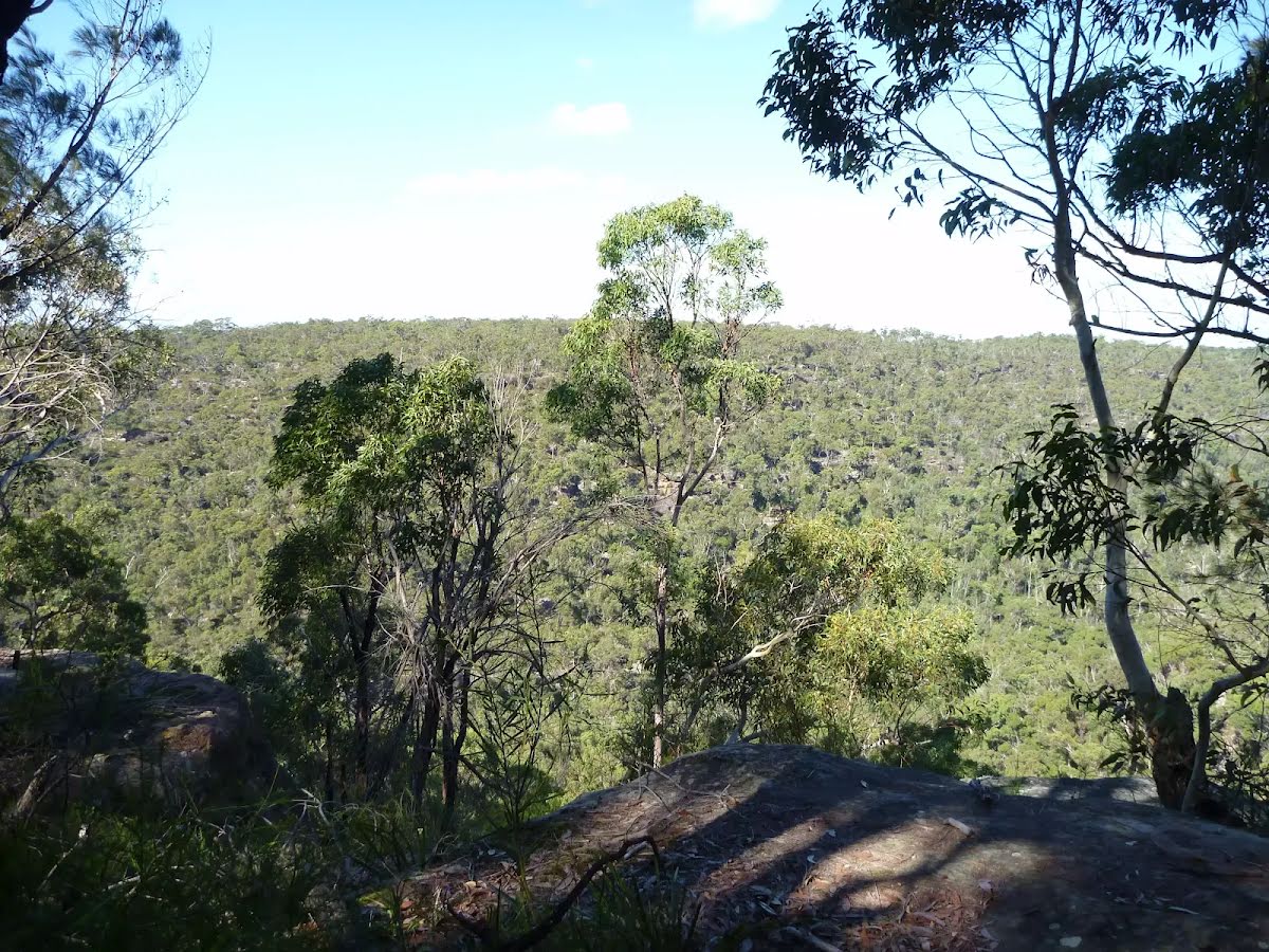
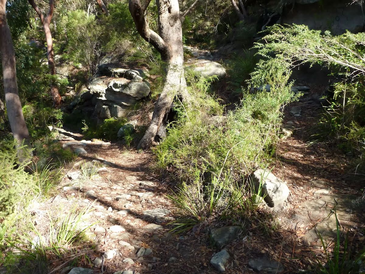
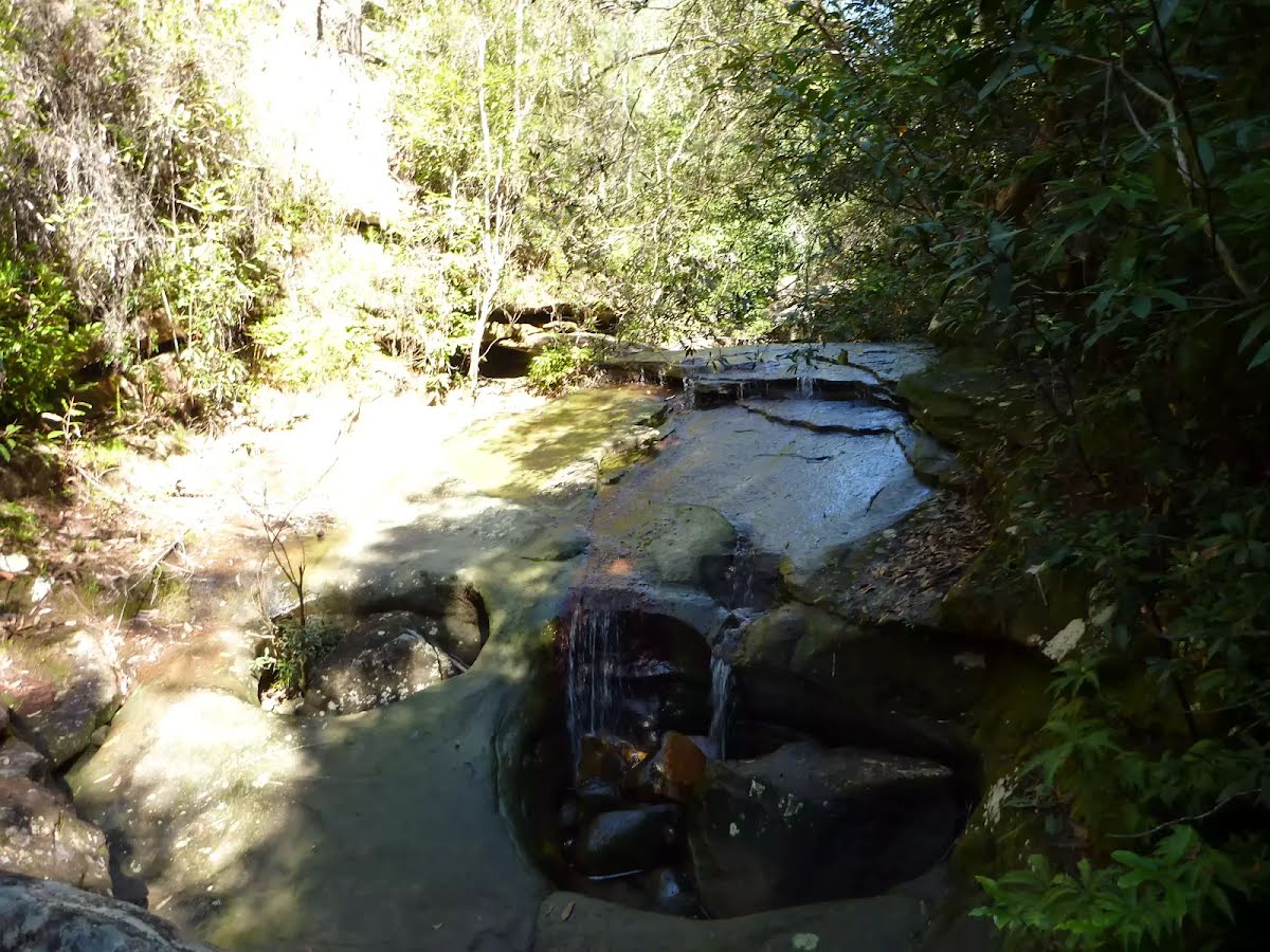
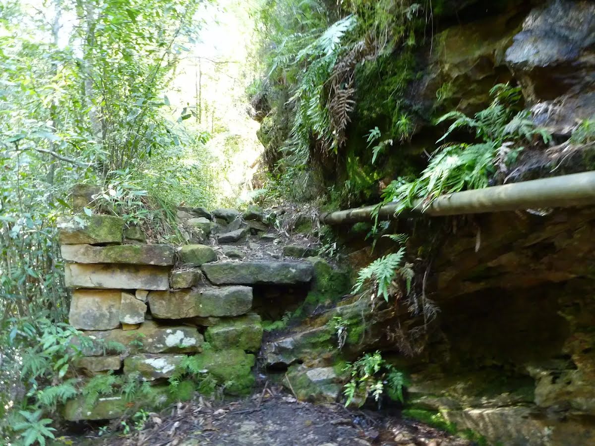
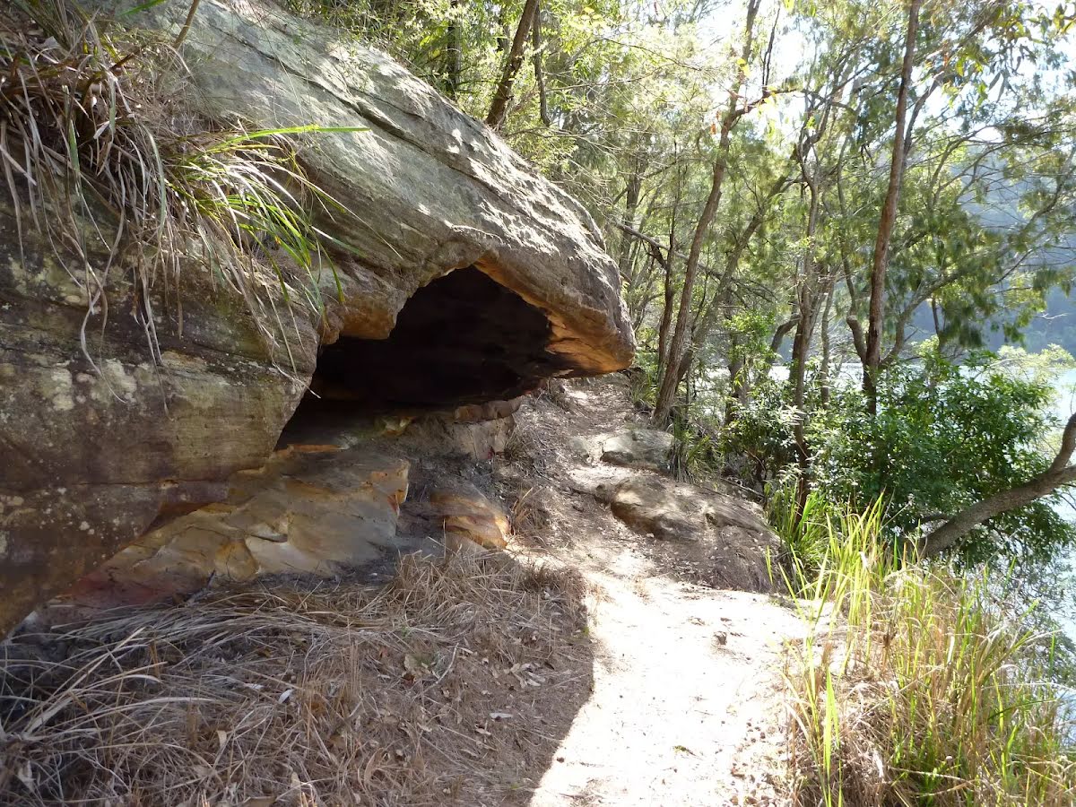
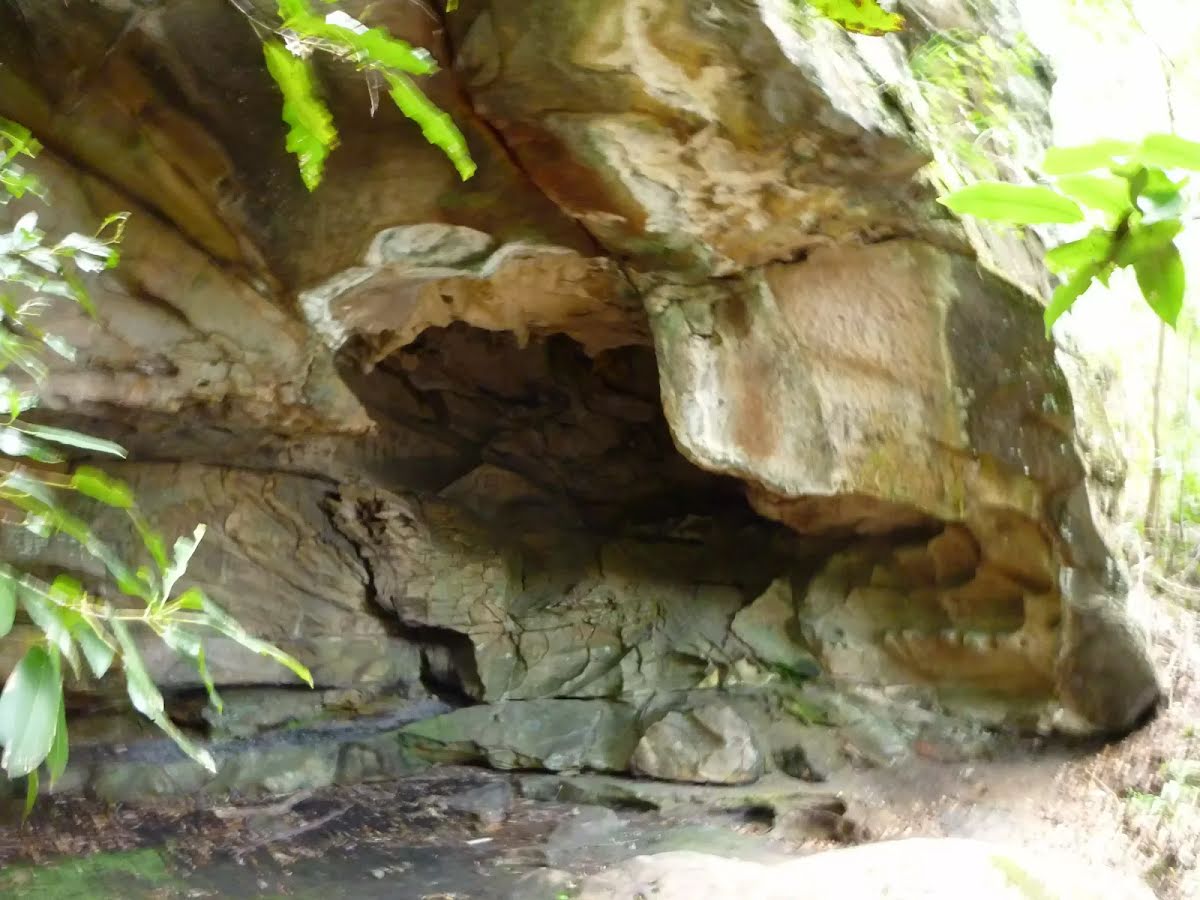
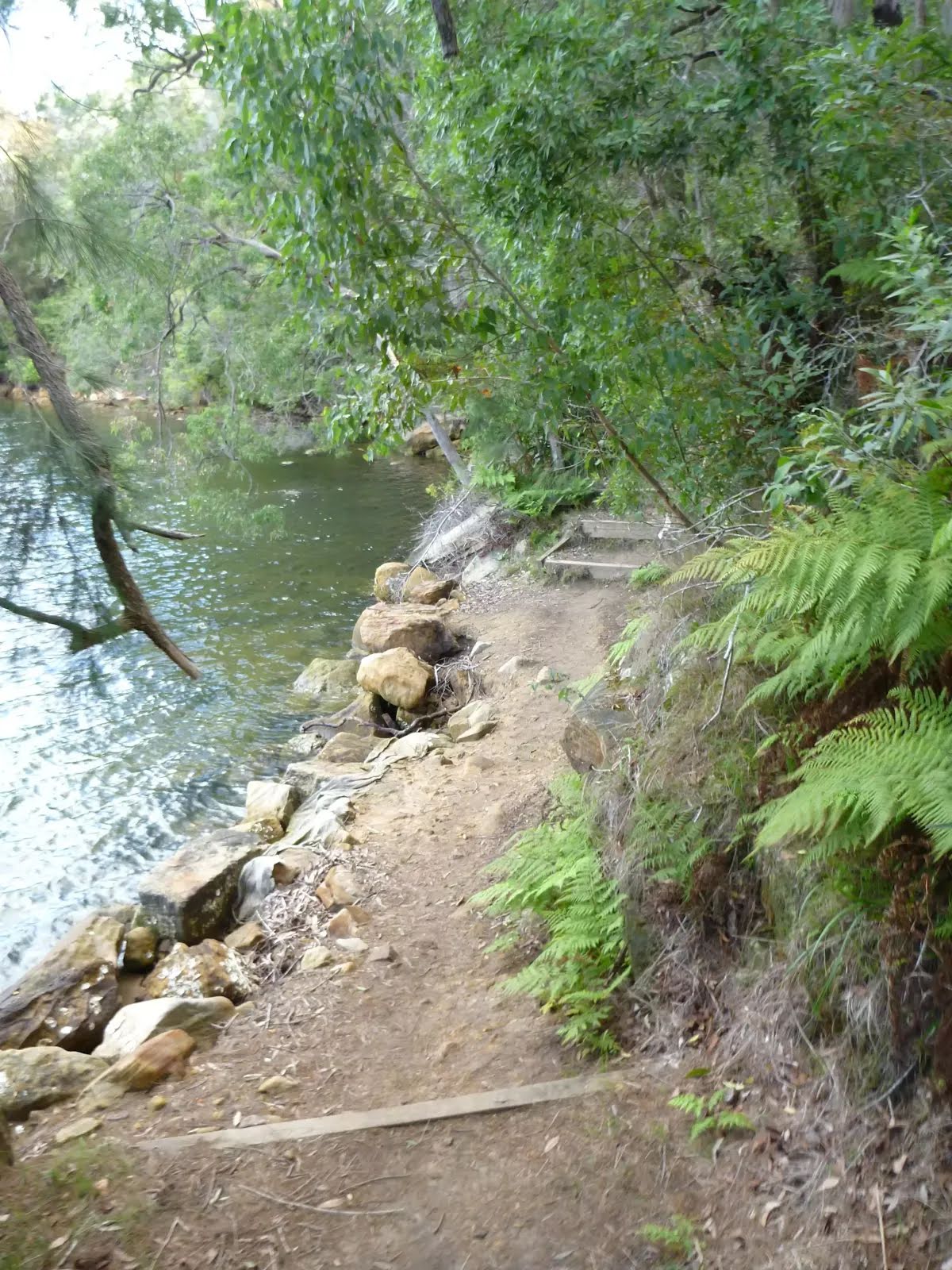
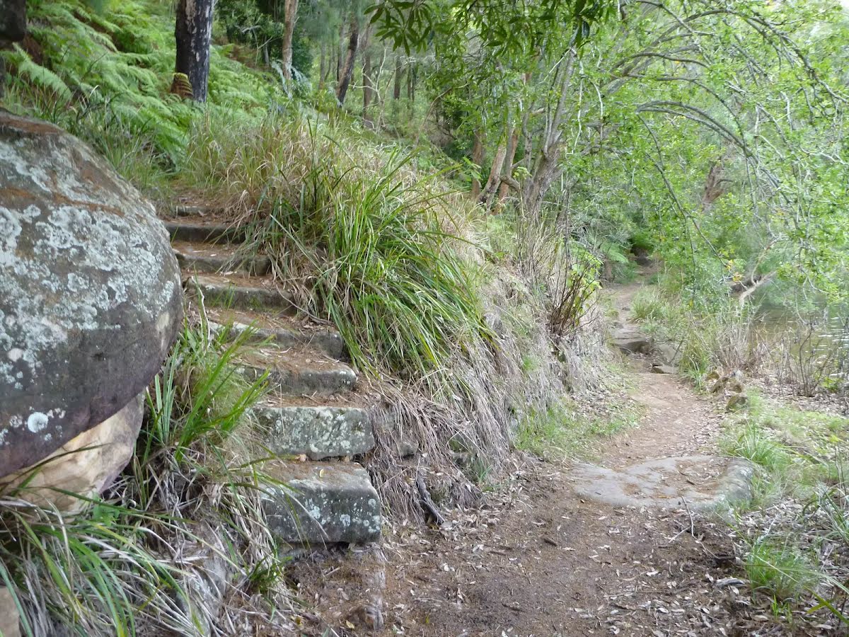
| Quality of track | Rough track, where fallen trees and other obstacles are likely (4/6) |
| Gradient | Very steep (4/6) |
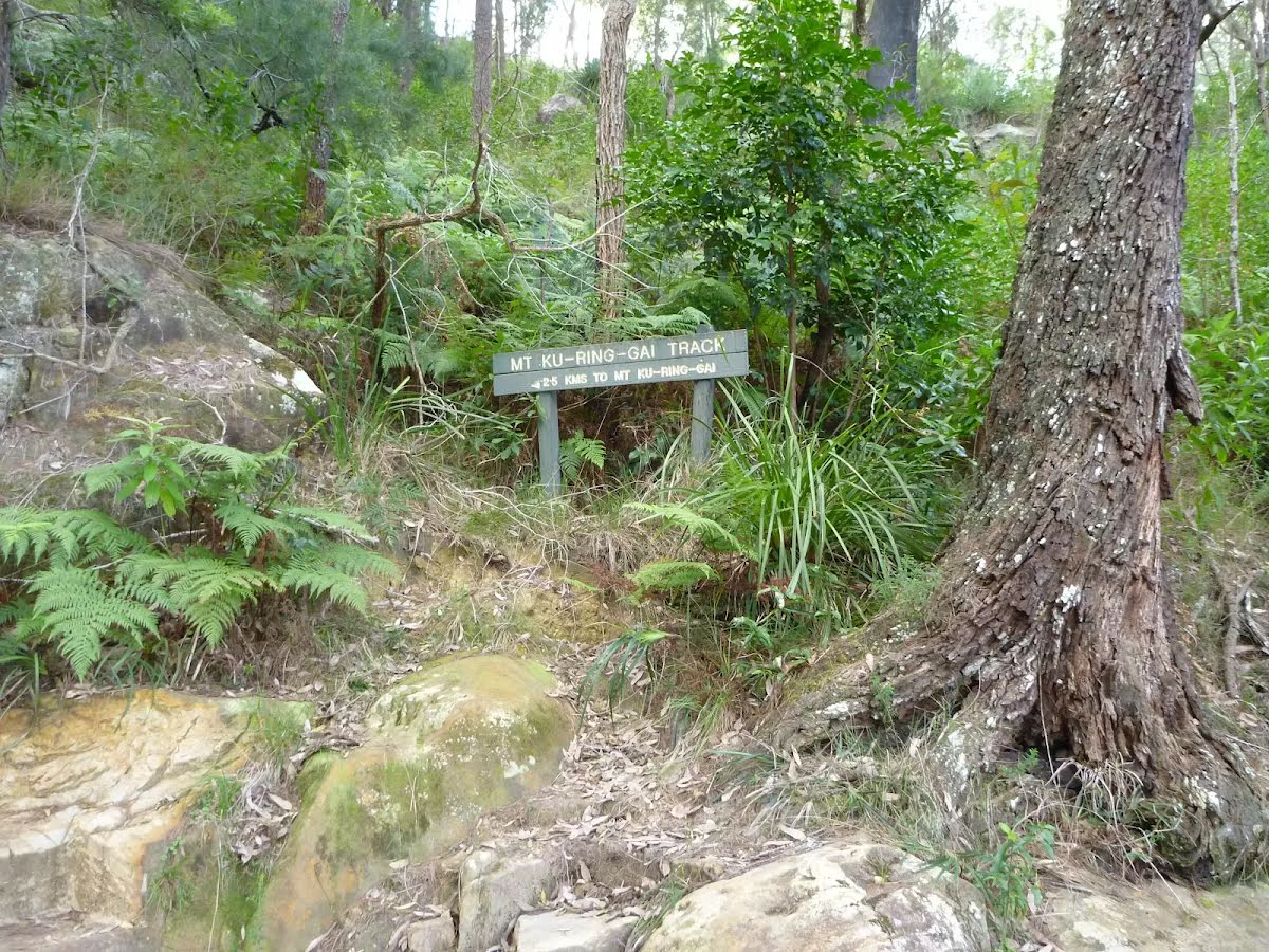
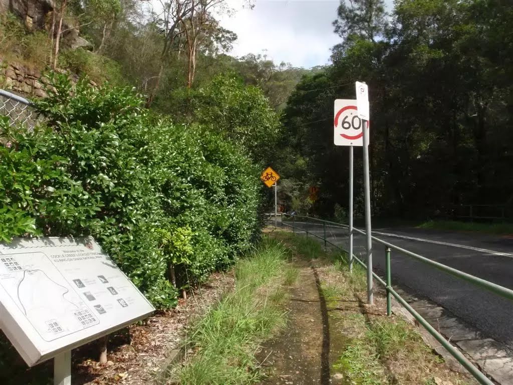
| Signage | Directional signs along the way (3/6) |
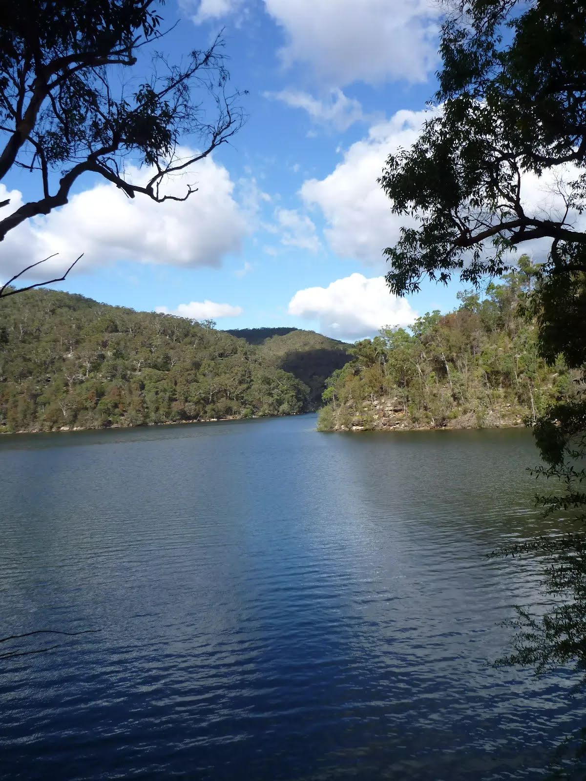
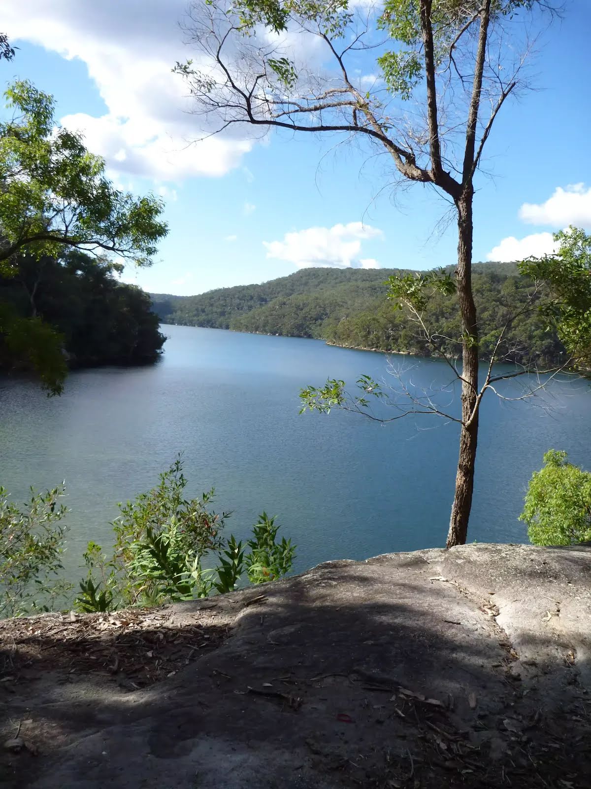
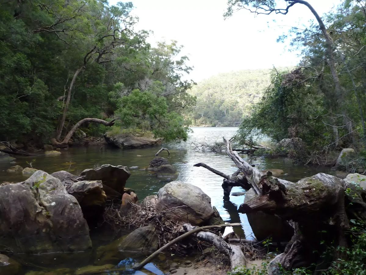
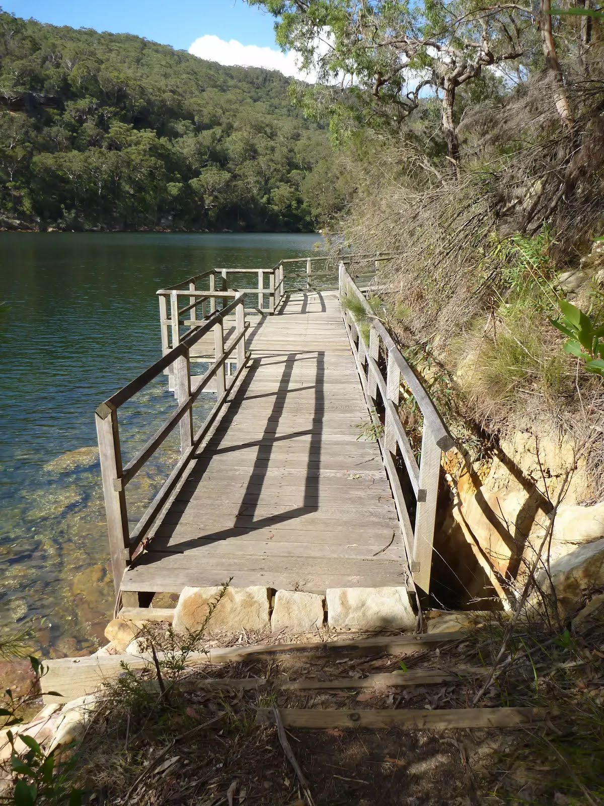
| Infrastructure | Limited facilities (such as cliffs not fenced, significant creeks not bridged) (4/6) |
| Experience Required | Some bushwalking experience recommended (3/6) |
| Weather | Storms may impact on navigation and safety (3/6) |
| Item | From Start | Name & link to notes |
|---|---|---|
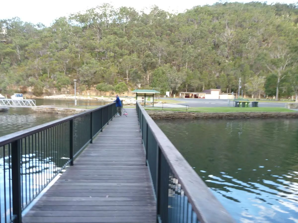
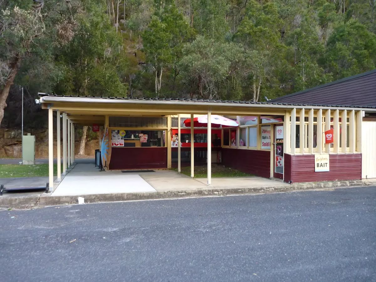
Toilet
| 7.5 km | [toilet] |
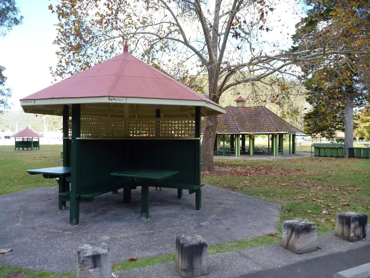
Shelter
| 8.8 km | [shelter] |
Toilet
| 8.8 km | [toilet] |
Toilet
| 8.9 km | [toilet] |
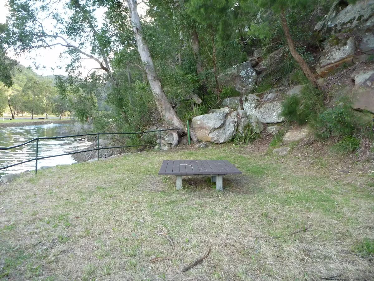
Seat
| 8.9 km | [seat] |
Shelter
| 8.9 km | [shelter] |