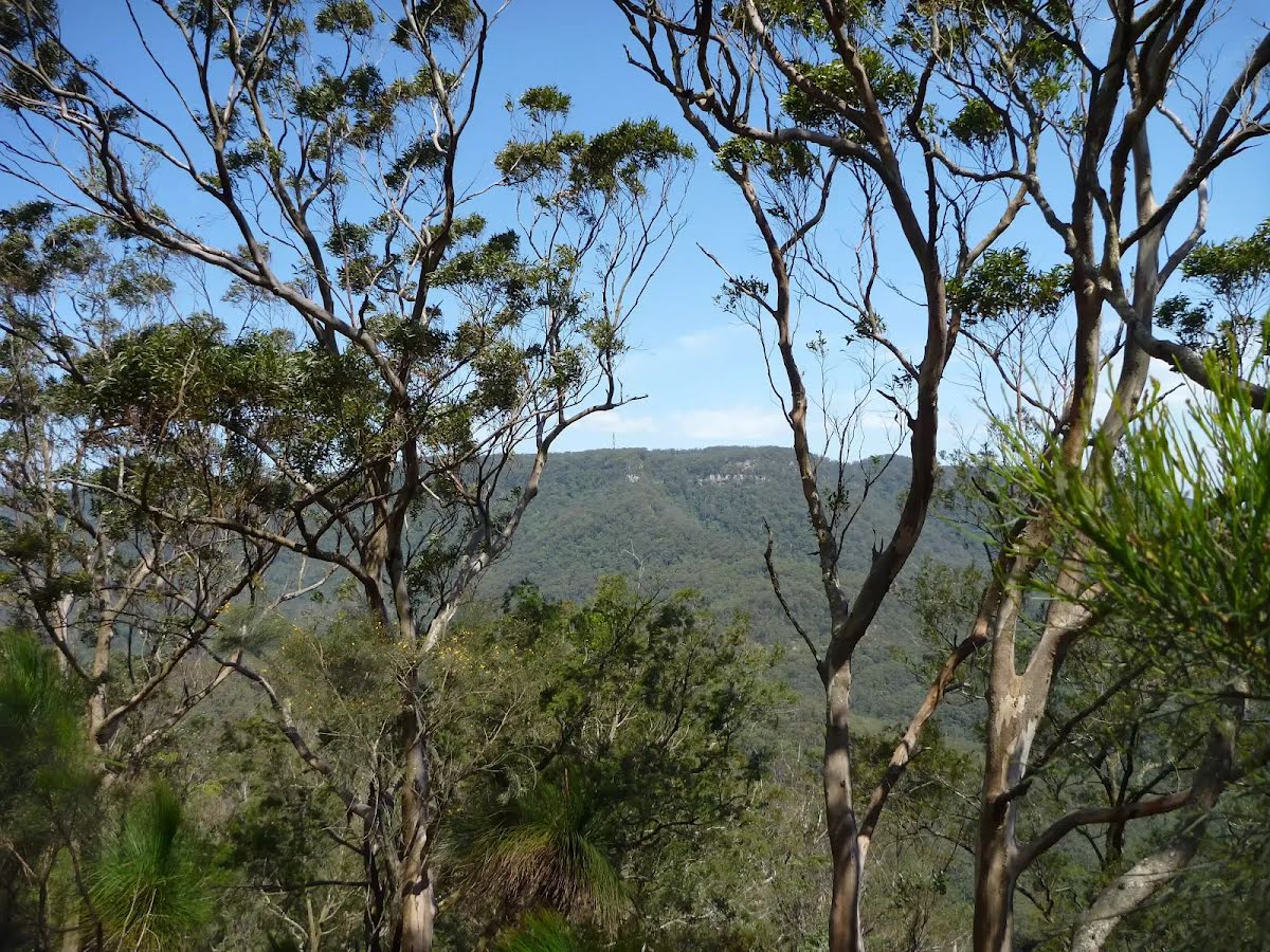
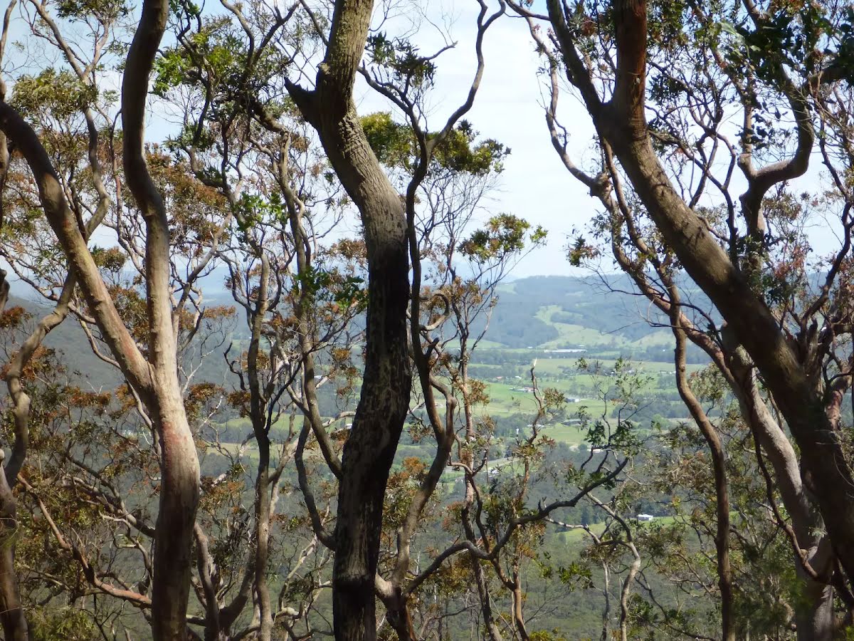
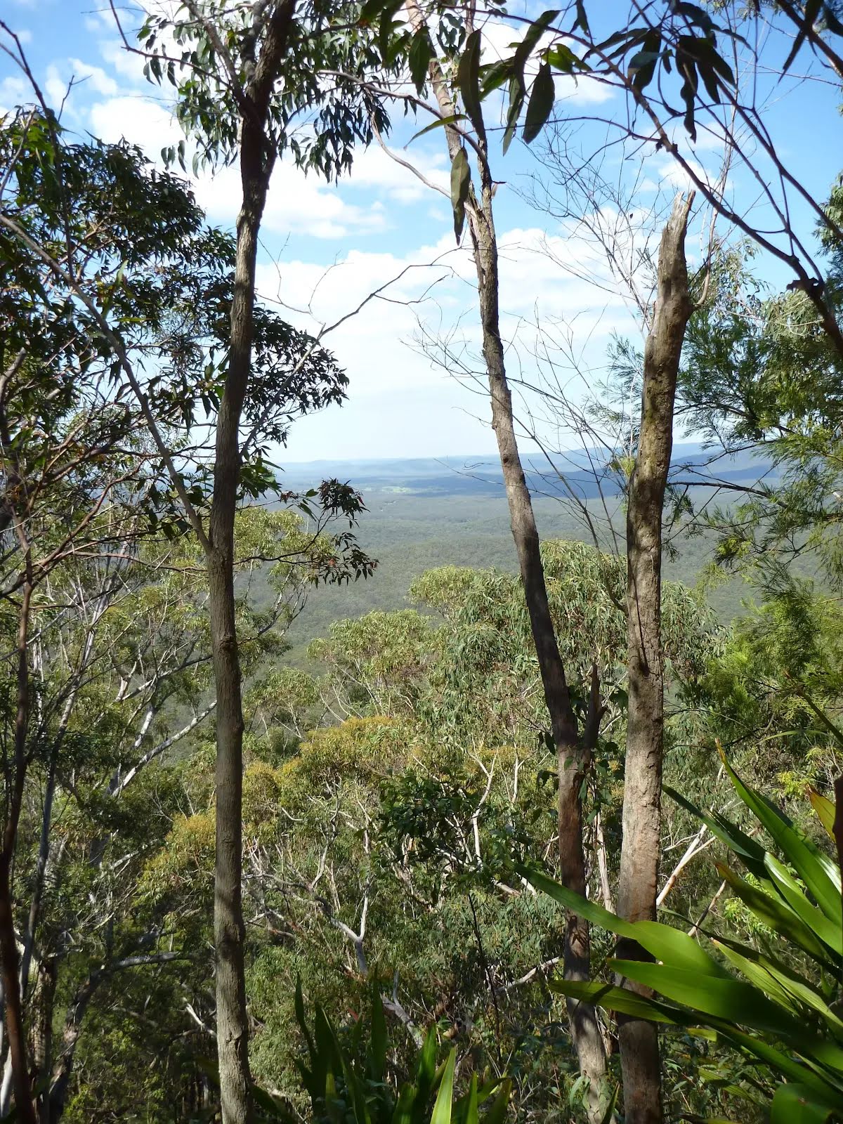
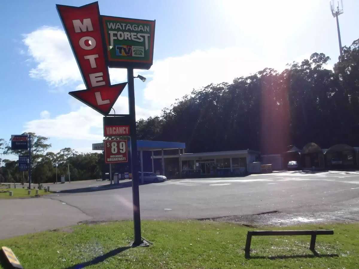
This section of the Great North Walk starts from Heaton Gap near the Watagan Forest Motel, and winds east, towards Newcastle. The walk passes through the Awaba State Forest and past the Sugarloaf Range, down into Wakefield and on to Teralba, a pleasant town on the edge of Lake Macquarie. Accommodation is available at both ends of this day walk allowing you to join it onto other sections of the Great North Walk inn to inn style. Let us begin by acknowledging the Awabakal people, Traditional Custodians of the land on which we travel today, and pay our respects to their Elders past and present.
Before you start any bushwalk ensure you;
• Tell someone you trust where you are going and what to do if you are overdue
• Have adequate equipment, supplies, skills & knowledge for the whole journey
• Consider the impact of weather forecasts, park/track closures & fire dangers
• Can respond to emergencies & call for help at any point
• Are healthy and fit enough for this journey
If not, change plans and stay safe. It is okay to delay and ask people for help.
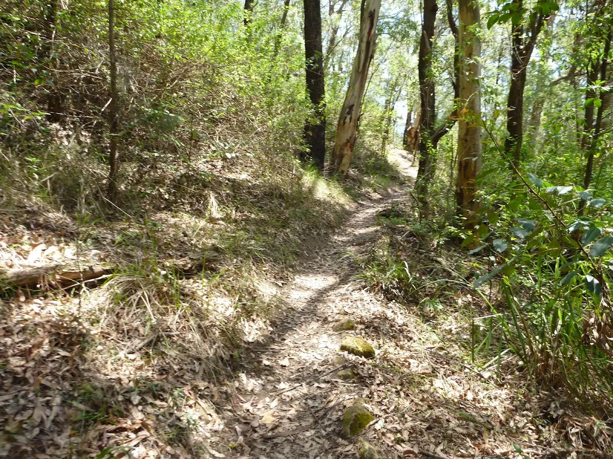
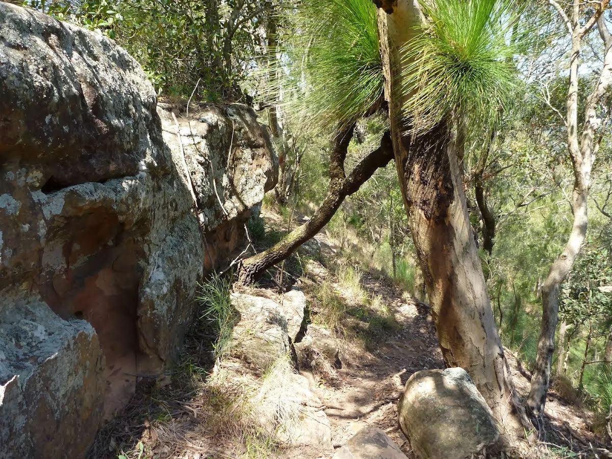
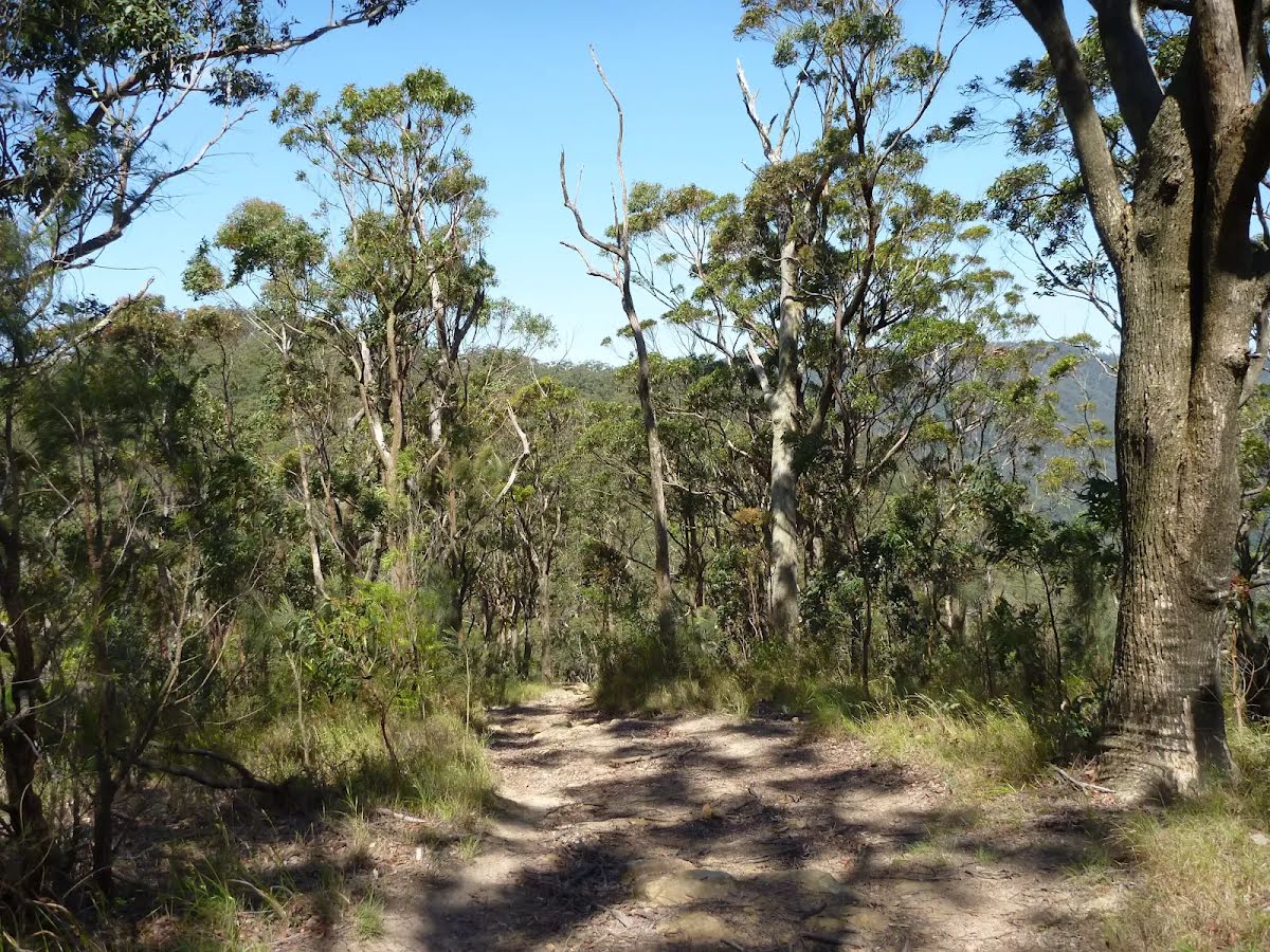
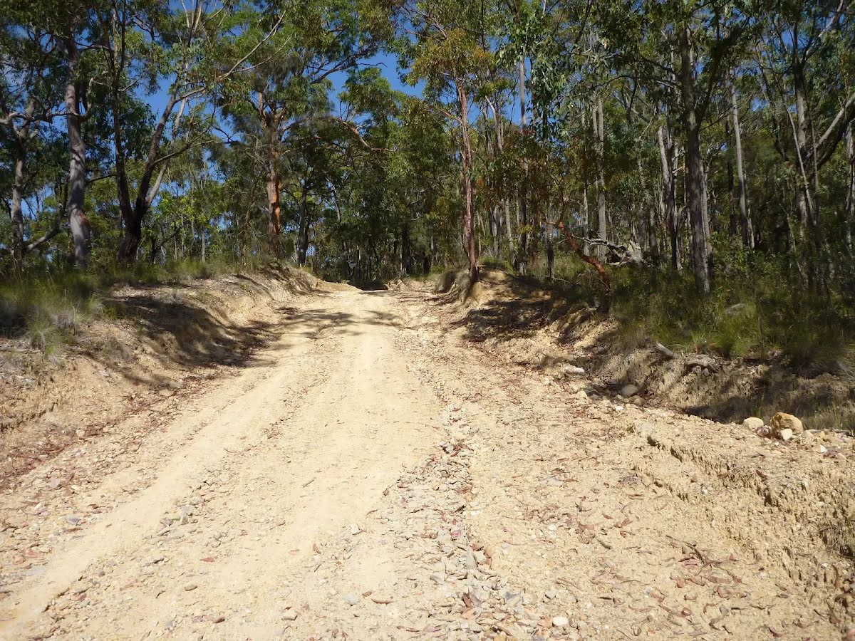
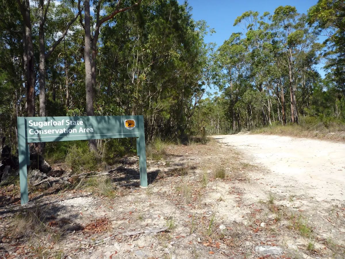
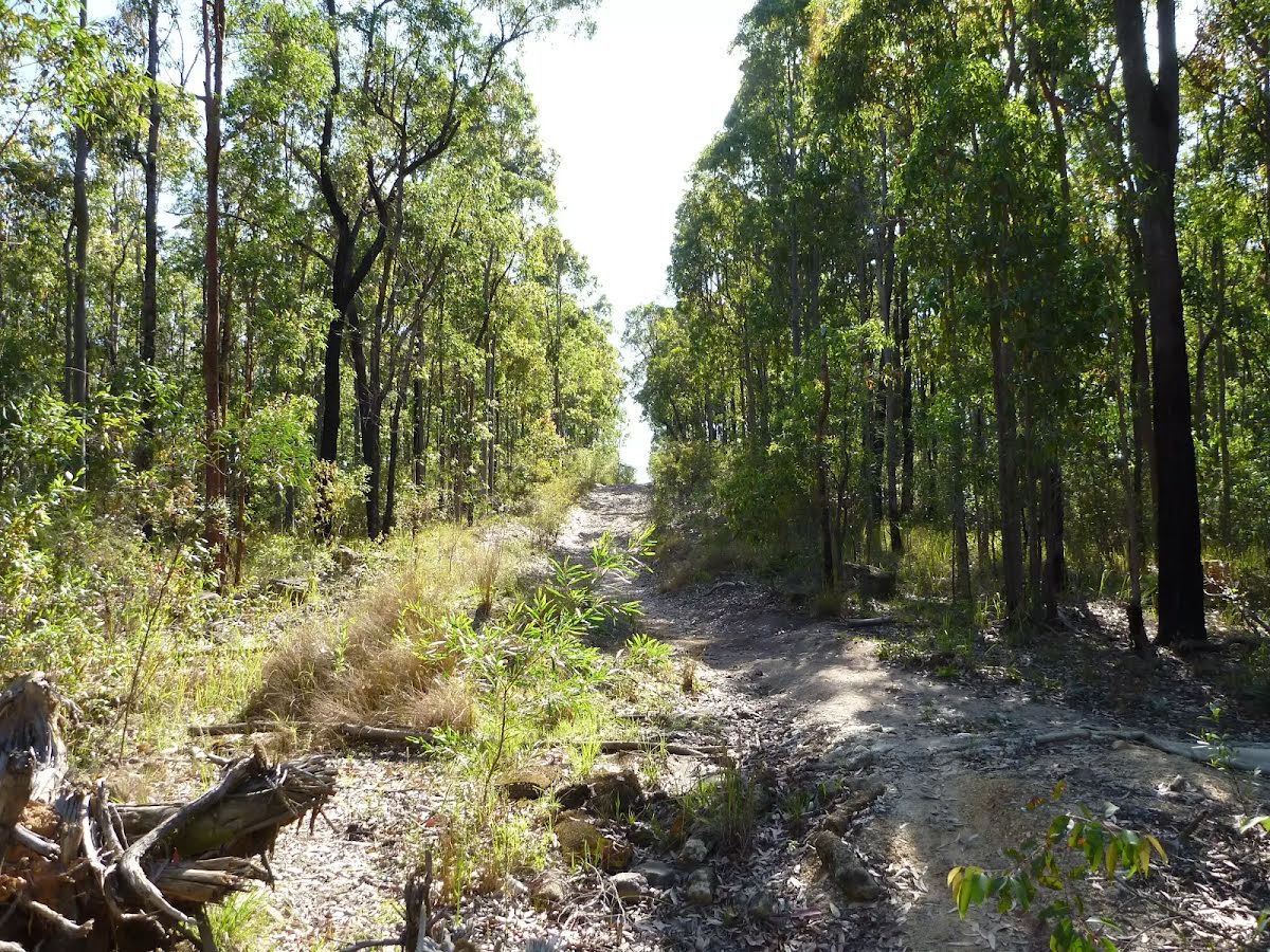
Getting started From the picnic area next to 'Watagan Forest Motel' (on Freemans Drive), this walk follows the 'Wakefield' sign gently up alongside Freemans Drive, away from the motel. The walk leads behind the safety barrier beside the road for about 400m, until coming to an intersection with an unsealed road marked with a 'Sugarloaf State Conservation Area' sign (on the left). From the intersection, this walk follows the GNW arrow post, gently uphill along the dirt road, initially passing the 'Sugarloaf State Conservation Area' sign on your right. The walk continues for about 700m (with one steep uphill section), until leading down to an intersection with a track and GNW arrow marker, and a couple of timber fence posts (on the left).....
Turn map
Directions & comments
Start heading along Leggetts Drive.
Find the picnic table at the start.
Find the Watagan Forest Motel at the start.
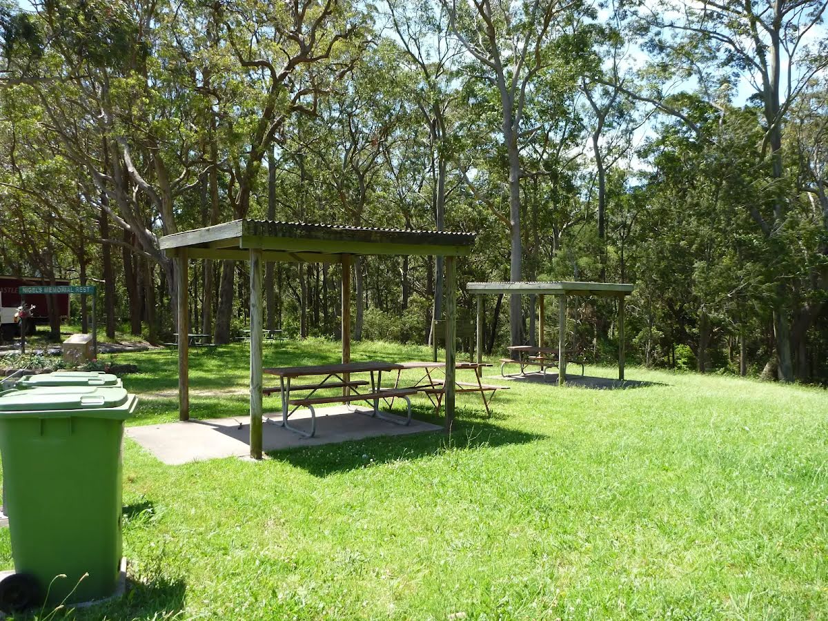
Watagan Forest Motel is located on Branxton-Toronto Road. This retro-style motel is located right on the Great North Walk. The motel offers six rooms for around $99 per night - each with a double bed (four rooms also have twin singles), a television, bathroom with shower, air conditioning, and breakfast included. Room service is available. Adjoining the motel is a service station, which also offers dining room meals as well as a small grocery selection (bread, milk, bottled water, rice, pasta, etc), open until 8:30pm daily. A rest area is situated next to the motel, with covered picnic tables and garbage bins. For further information, phone (02)4938 0149.
After another 325 m (at the intersection of Leggetts Drive & Gap Road) veer left, to head along Gap Road (a vehicle track).
After another 790 m turn left.
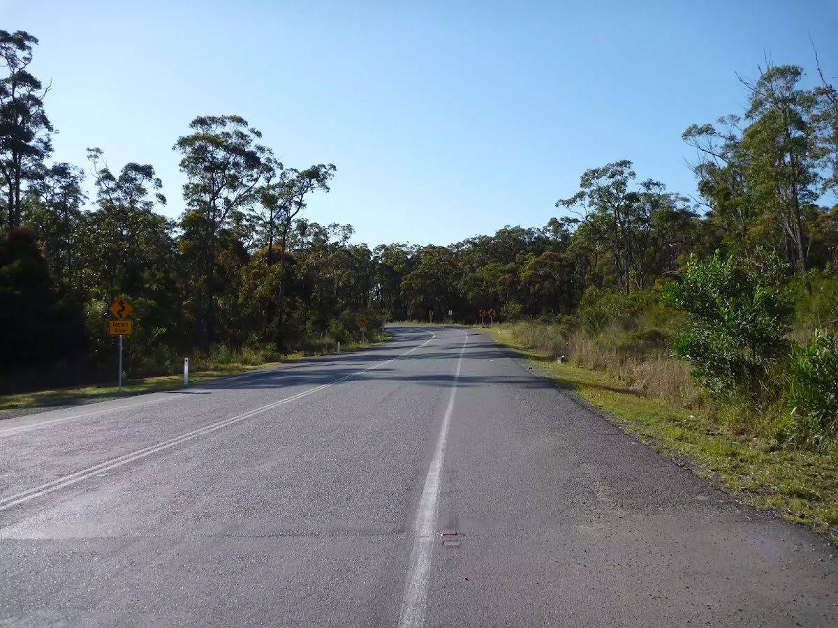
After another 2 km continue straight, to head along Brunkerville Trail.
After another 1.2 km (at the intersection of Sugarloaf Range Road & Brunkerville Trail) continue straight, to head along Sugarloaf Range Road.
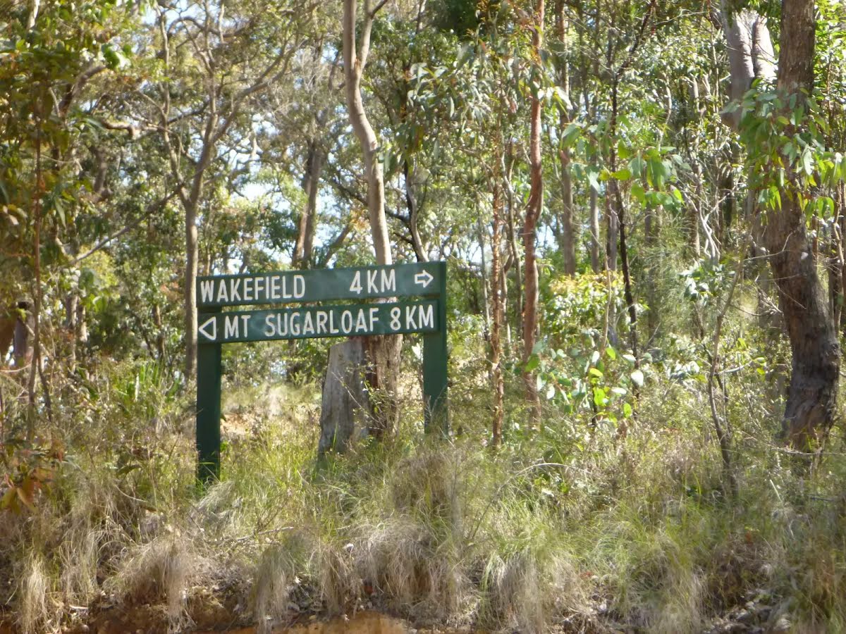
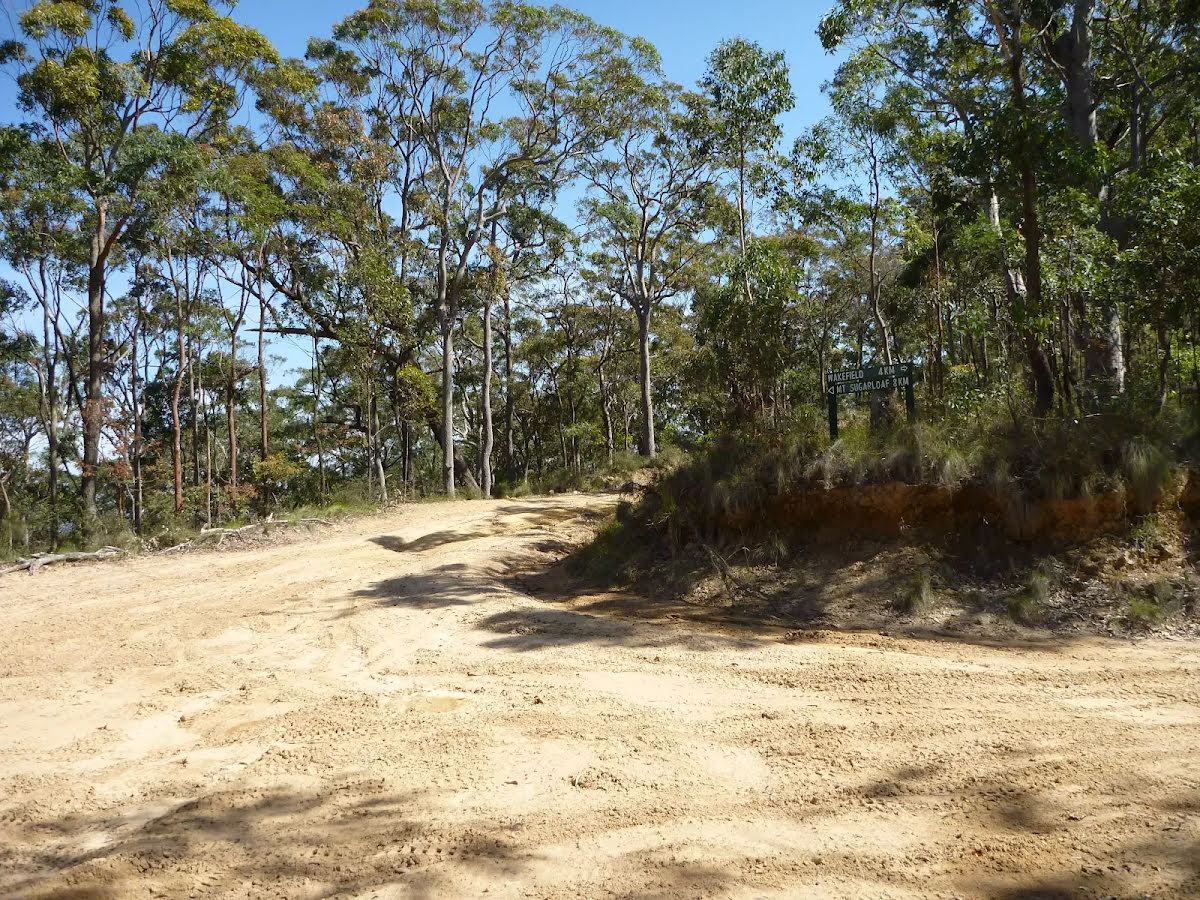
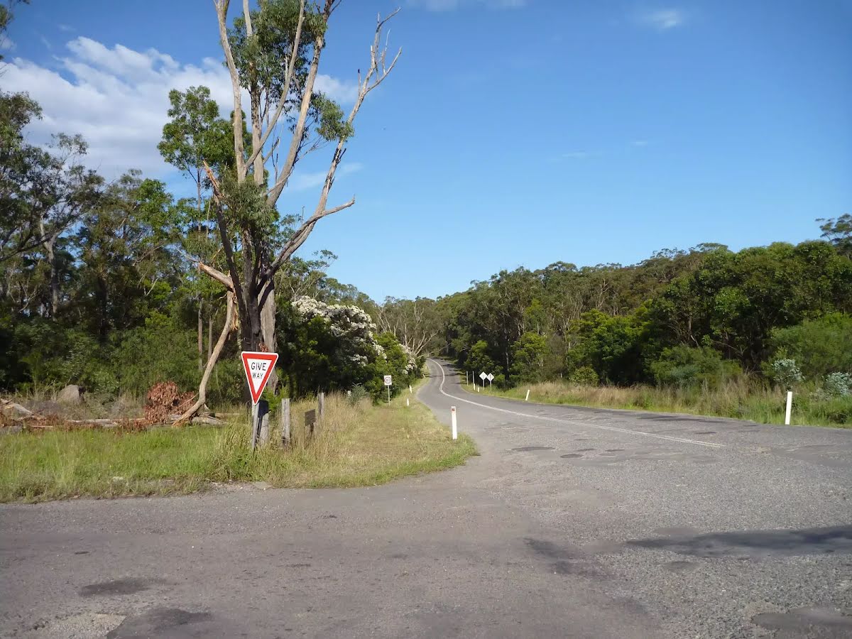
After another 350 m (at the intersection of Wakefield Forest Road & Sugarloaf Range Road) continue straight, to head along Wakefield Forest Road.
After another 620 m continue straight, to head along Wakefield Forest Road.
After another 480 m (at the intersection of Aubs Ridge Road & Wakefield Forest Road) continue straight, to head along Wakefield Forest Road.
After another 530 m continue straight, to head along Wakefield Forest Road.
After another 630 m continue straight, to head along Wakefield Forest Road.
After another 235 m continue straight, to head along Archery Road.
After another 90 m continue straight, to head along Archery Road.
After another 6 m (at the intersection of Aubs Pipeline Trail & Archery Road) continue straight, to head along Archery Road.
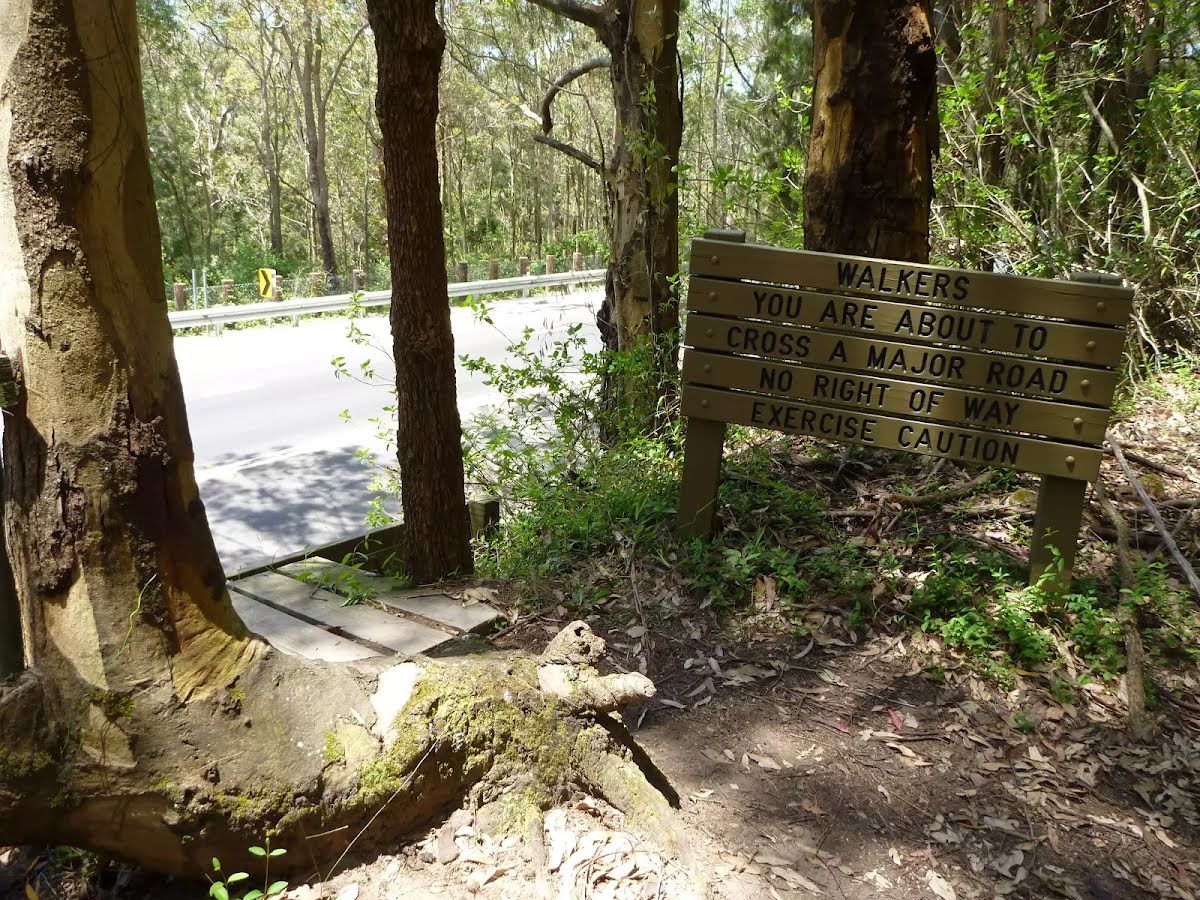
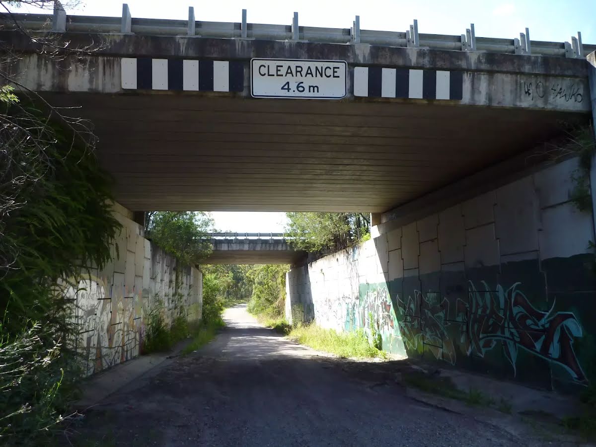
After another 40 m head through the tunnel (about 90 m long)
After another 20 m (at the intersection of Archery Road & Archery Road East) continue straight, to head along Archery Road.
After another 285 m continue straight, to head along Archery Road.
After another 9 m (at the intersection of Archery Road & Watagan Track) turn left, to head along Watagan Track (a vehicle track).
After another 950 m continue straight, to head along Watagan Track.
After another 145 m continue straight, to head along The Great North Walk.
After another 165 m (at the intersection of Wakefield Road & The Great North Walk) turn left, to head along Wakefield Road (a road).
After another 590 m find the "Eddie Peterson Memorial Park" (20 m on your left).
The Eddie Peterson Memorial Park on Wakefield Road is a fabulous place for a rest and a snack. There is a grassy area, toilet, water and shelter, all next to a community tennis court. Eddie Patterson Memorial Park is managed by the Lake Macquarie City Council as a public reserve. Near the memorial park there is a fire station and a school.
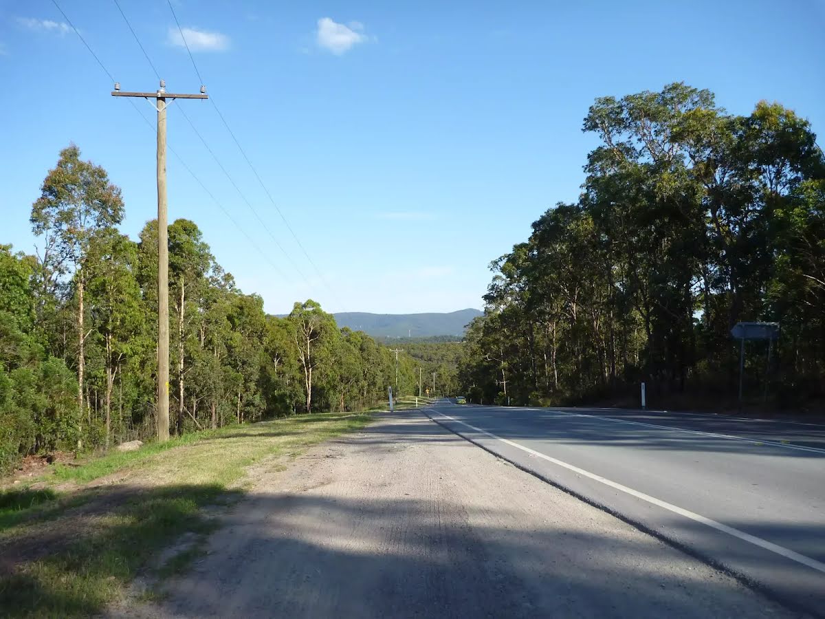
At the intersection of Miller Road & Wakefield Road continue straight, to head along Wakefield Road.
After another 880 m (at the intersection of School Road & Wakefield Road) continue straight, to head along Wakefield Road.
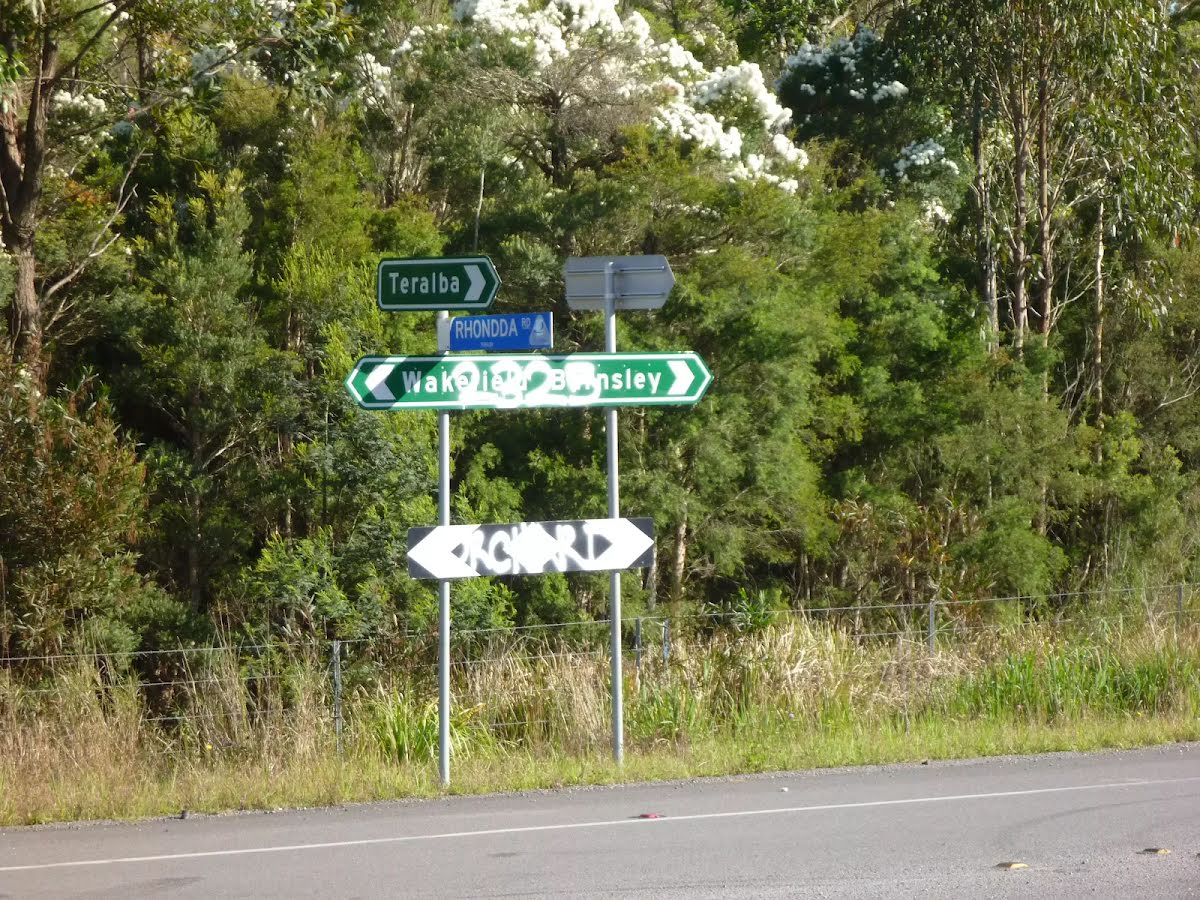
After another 1 km (at the intersection of Rhondda Road & Wakefield Road) turn right, to head along Rhondda Road (a highway|tertiary).
After another 340 m continue straight, to head along Rhondda Road.
After another 260 m continue straight, to head along Rhondda Road.
After another 205 m continue straight, to head along Rhondda Road.
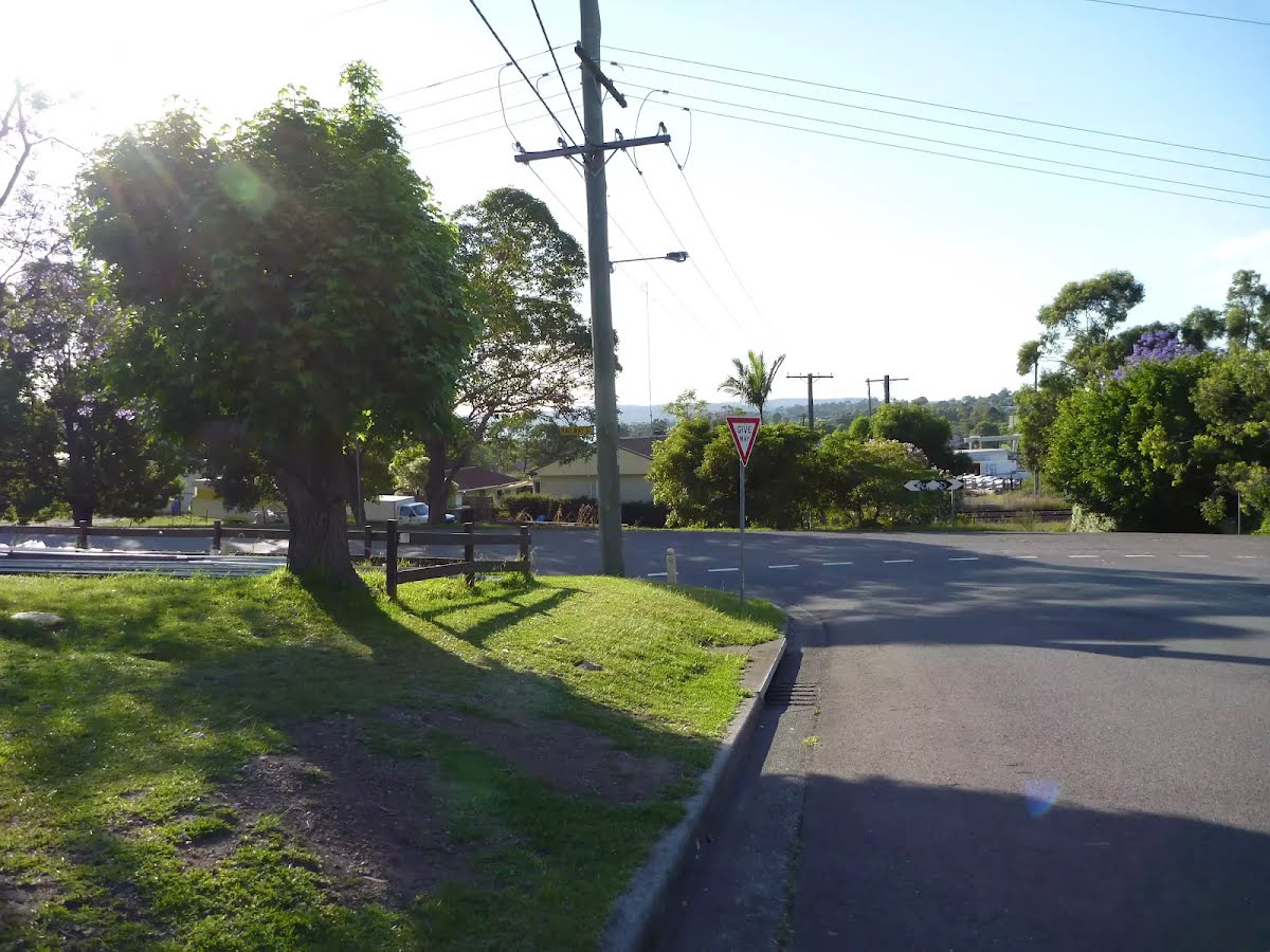
After another 2.4 km (at the intersection of Rhondda Road & Railway Street) turn left, to head along Railway Street (a highway|tertiary_link).
After another 250 m turn sharp right.
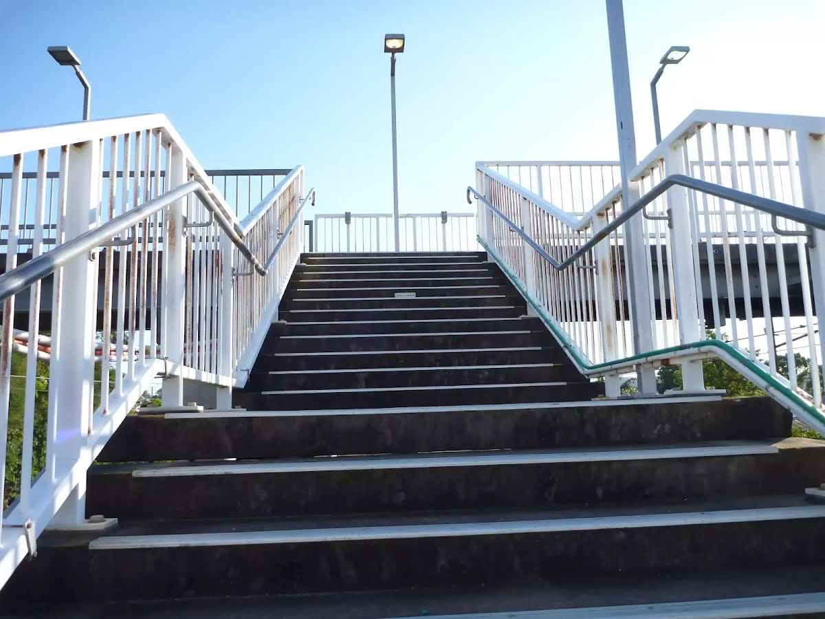
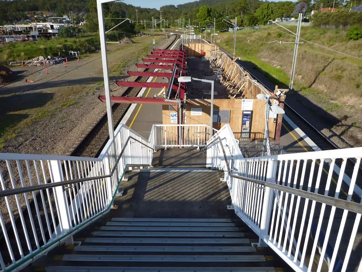
After another 35 m head up the steps (about 15 m long)
Then cross the bridge (about 15 m long)
Turn right, to head along StreetToTransitConnection.
Then head down the steps
Continue another 15 m to find Teralba Station at the end.
Great North Walk: Heaton Gap to Teralba Station
Grading
Class 4/6
Hard track
Length
14.8 km
Time
5 h to 6 h
Quality of track
Formed track, with some branches and other obstacles (3/6)
Gradient
Very steep (4/6)
Signage
Directional signs along the way (3/6)
Infrastructure
Limited facilities (such as cliffs not fenced, significant creeks not bridged) (4/6)
Experience Required
Some bushwalking experience recommended (3/6)
Weather
Weather generally has little impact on safety (1/6)
Some facilities on route
Entity|rest area: There is one 9.5 km from the start.
Cloudy. High chance of showers about the Upper Hunter, medium chance elsewhere. Light winds becoming west to northwesterly 15 to 25 km/h in the morning. Daytime maximum temperatures between 10 and 15.
UV Alert: Sun protection 11:00am to 12:50pm, UV Index predicted to reach 3 [Moderate]
Wednesday 16 July
2°C → 18°C
Sunny. 5% chance of rain
Sunny. Areas of morning frost. Winds westerly 15 to 20 km/h becoming light before dawn. Overnight temperatures falling to between zero and 5 with daytime temperatures reaching between 14 and 17.
Thursday 17 July
2°C → 19°C
Mostly sunny. 5% chance of rain
Mostly sunny. Areas of morning frost. The chance of morning fog about the Upper Hunter. Light winds. Overnight temperatures falling to between minus 2 and 3 above zero with daytime temperatures reaching between 15 and 18.
Friday 18 July
3°C → 17°C
Shower or two. 60% chance of rain 0 → 4mm
Partly cloudy. Areas of morning frost. Medium chance of showers along the coastal fringe, slight chance elsewhere. Light winds becoming south to southeasterly 15 to 20 km/h during the day then becoming light during the evening. Overnight temperatures falling to between minus 2 and 4 above zero with daytime temperatures reaching between 13 and 17.
Saturday 19 July
5°C → 20°C
Partly cloudy. 20% chance of rain
Partly cloudy.
Sunday 20 July
3°C → 19°C
Sunny. 20% chance of rain
Sunny.
Monday 21 July
5°C → 19°C
Shower or two. 50% chance of rain 0 → 2mm
Shower or two.
Tuesday 22 July
6°C → 20°C
Shower or two. 50% chance of rain 0 → 3mm
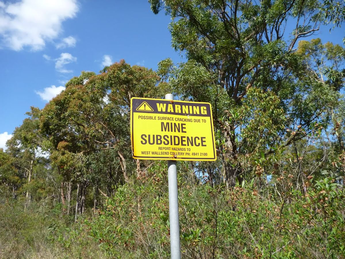
Safety alerts: Major roadworks in Sugarloaf State Conservation Area Major roadworks are ongoing in Sugarloaf State Conservation Area. Partial and intermittent road closures should be expected.
Visitors are asked to avoid the area (if possible). Otherwise, please be aware of trucks and machinery working on roads within Sugarloaf SCA and to drive to the conditions.
For more information, please contact the NPWS Lower Hunter Area Office on 02 4946 4100.
Closed areas: Parts of Sugarloaf State Conservation Area closed Parts of Sugarloaf State Conservation Area are closed for approved underground mining operations. The affected areas (see map) have been closed to protect visitor safety, because they're subject to subsidence and remediation activities from the mining operations.
Great North walk remains open. An update will be provided should this situation change.
If you're visiting the park, please be aware of subsidence and pollution incidents that took place in 2013, which were greater than what was expected from normal mining operations. These included a cliff fall in the north, and a subsidence and grout leak incident in the central part of Sugarloaf State Conservation Area.
If you're planning to visit the park during this time, please stay on formed tracks and trails and observe all barriers, warning signs and safety messages. Areas subject to possible cliff fall or subsidence in both areas of the park are clearly marked.
For more information, call the NPWS Lower Hunter area office on 02 4946 4100. NSW National Parks safety page.