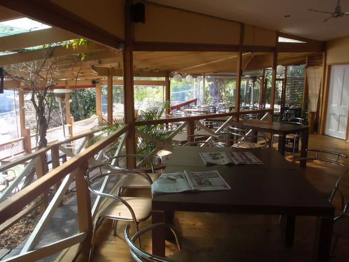


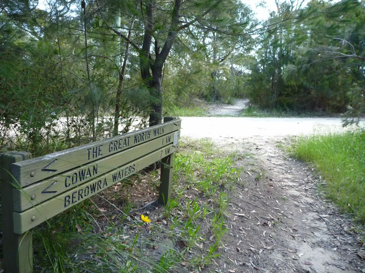

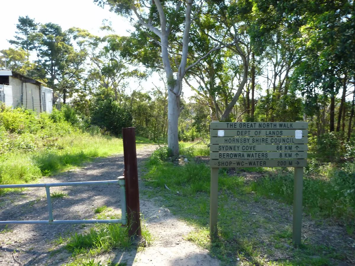

| Start | (-33.60058,151.1255871) |
| Mode | Bus Car (There is free parking available.) |
| Directions | From Pacific Motorway, M1
|
| Finish | (-33.5937223,151.1716571) |
| Mode (end) | Car Shuttle Bus Car (There is free parking available.) Train |

|
|
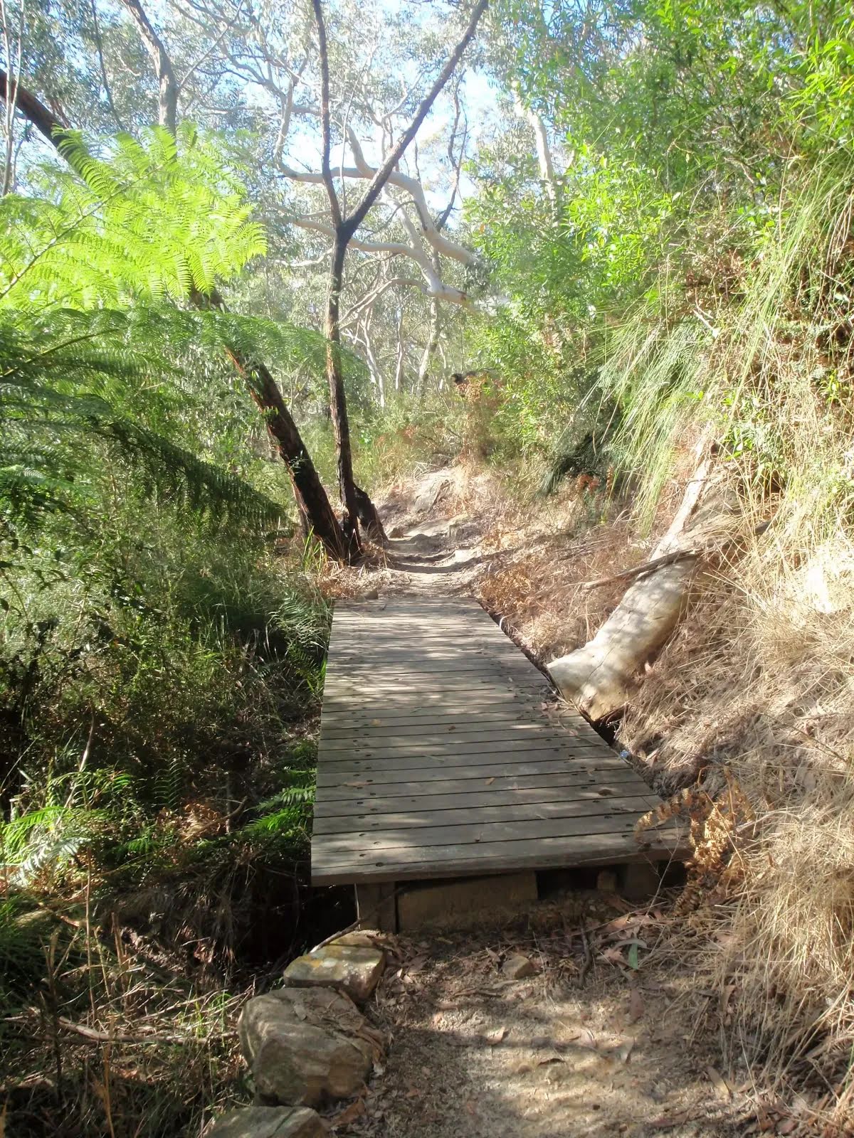
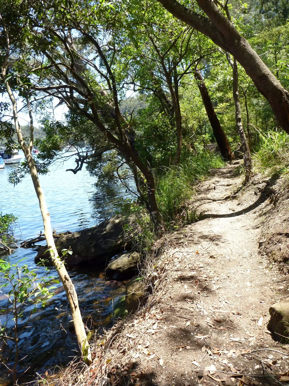
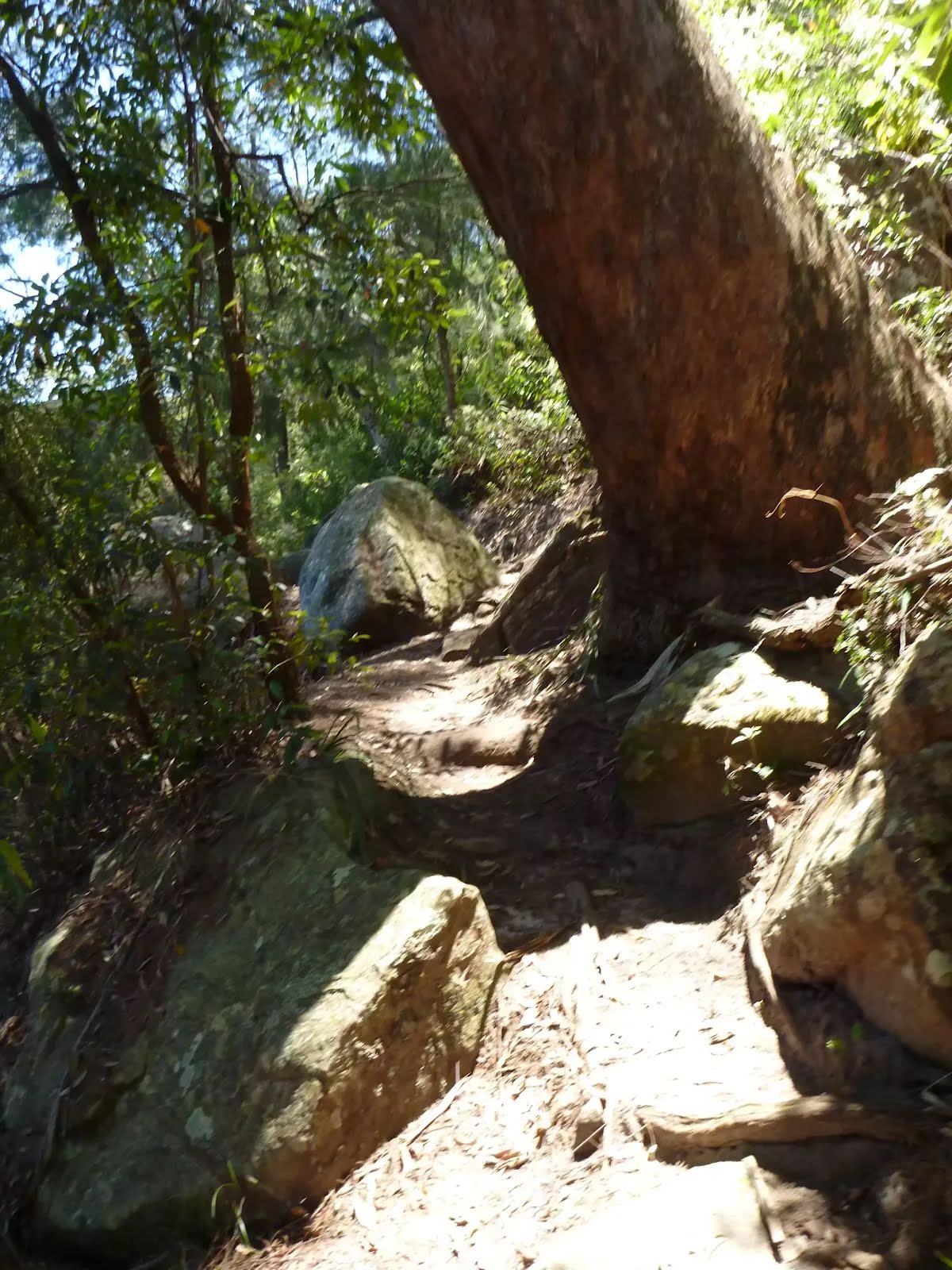
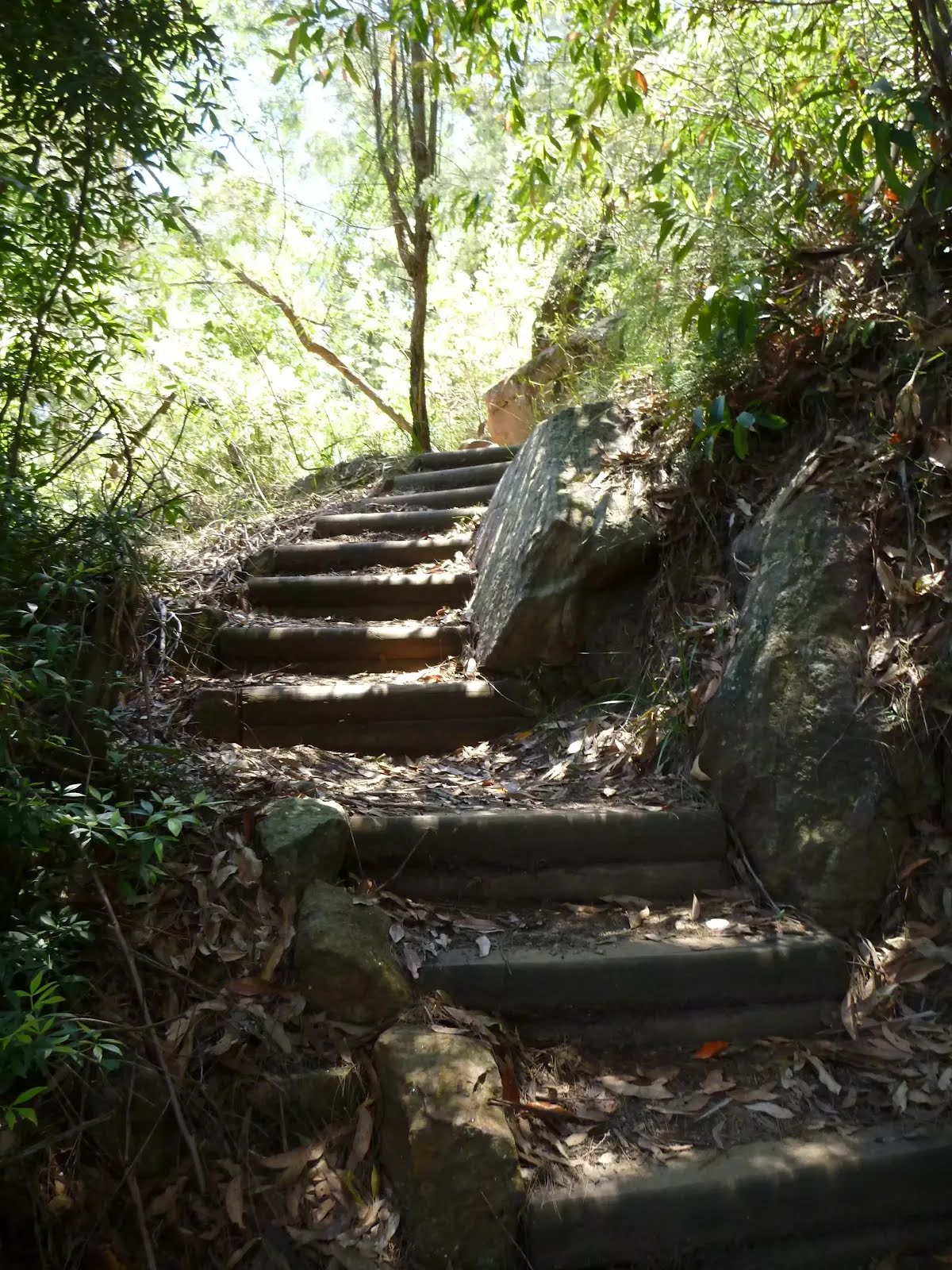
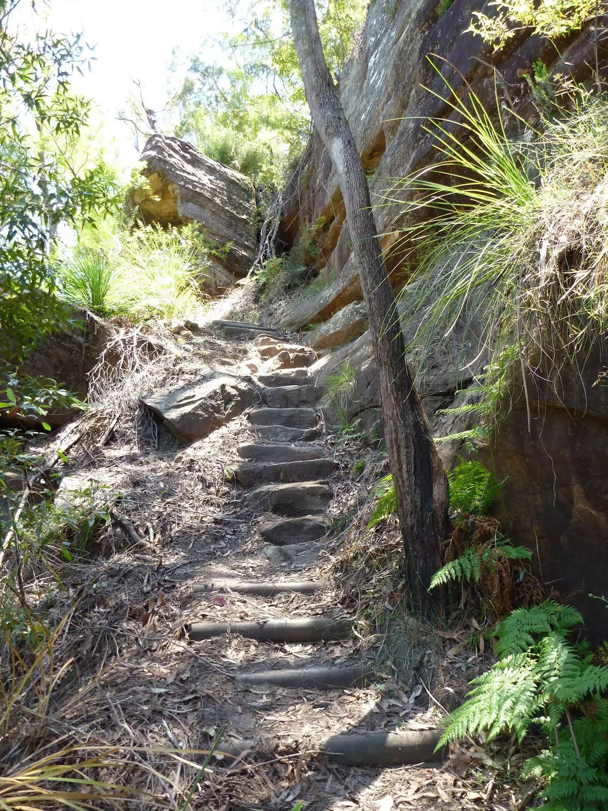
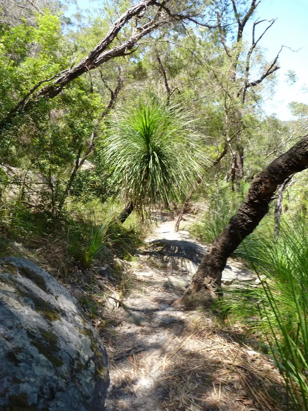
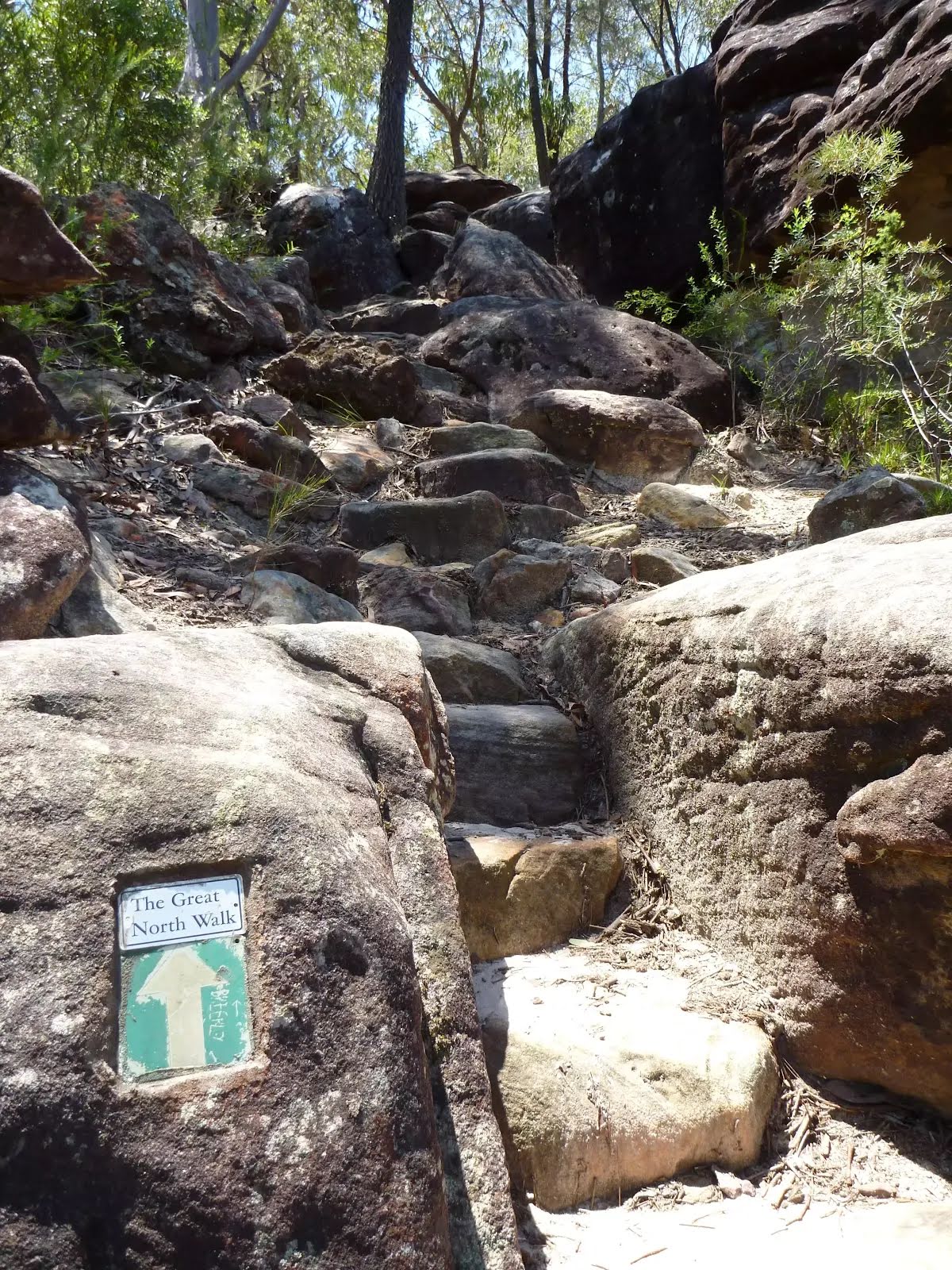
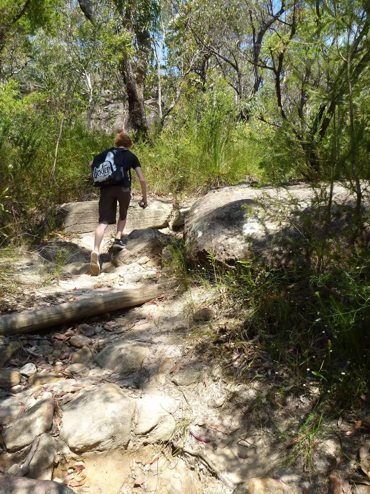
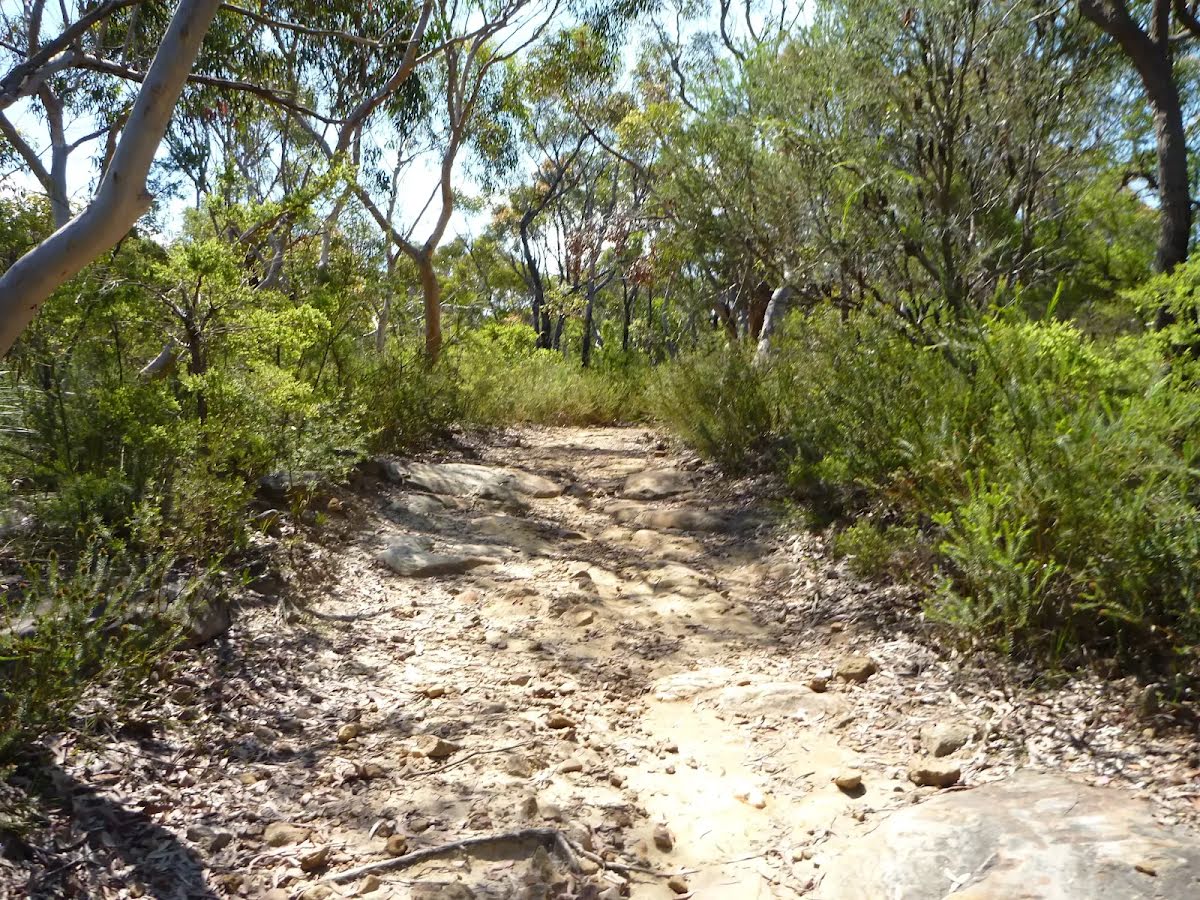
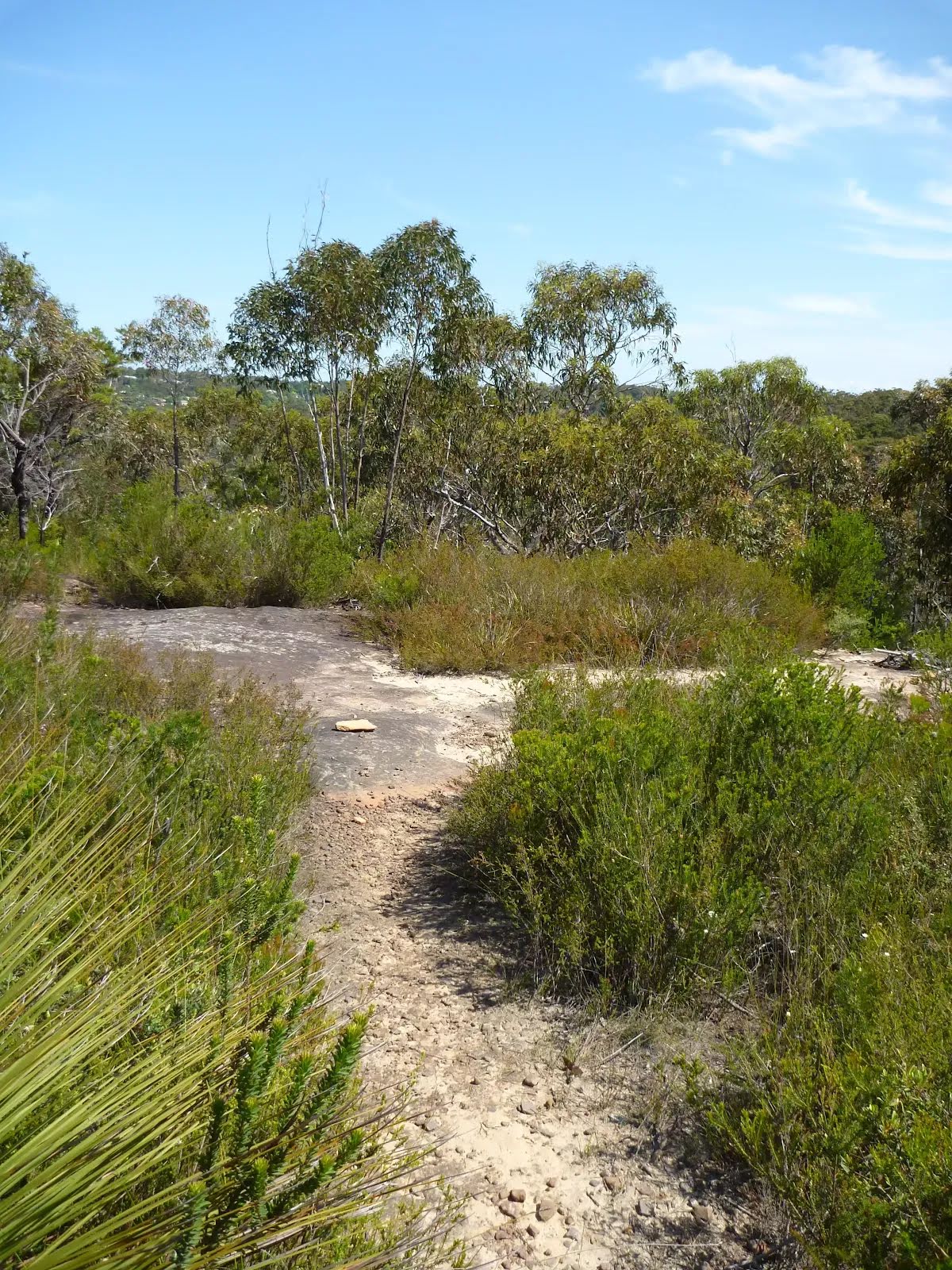
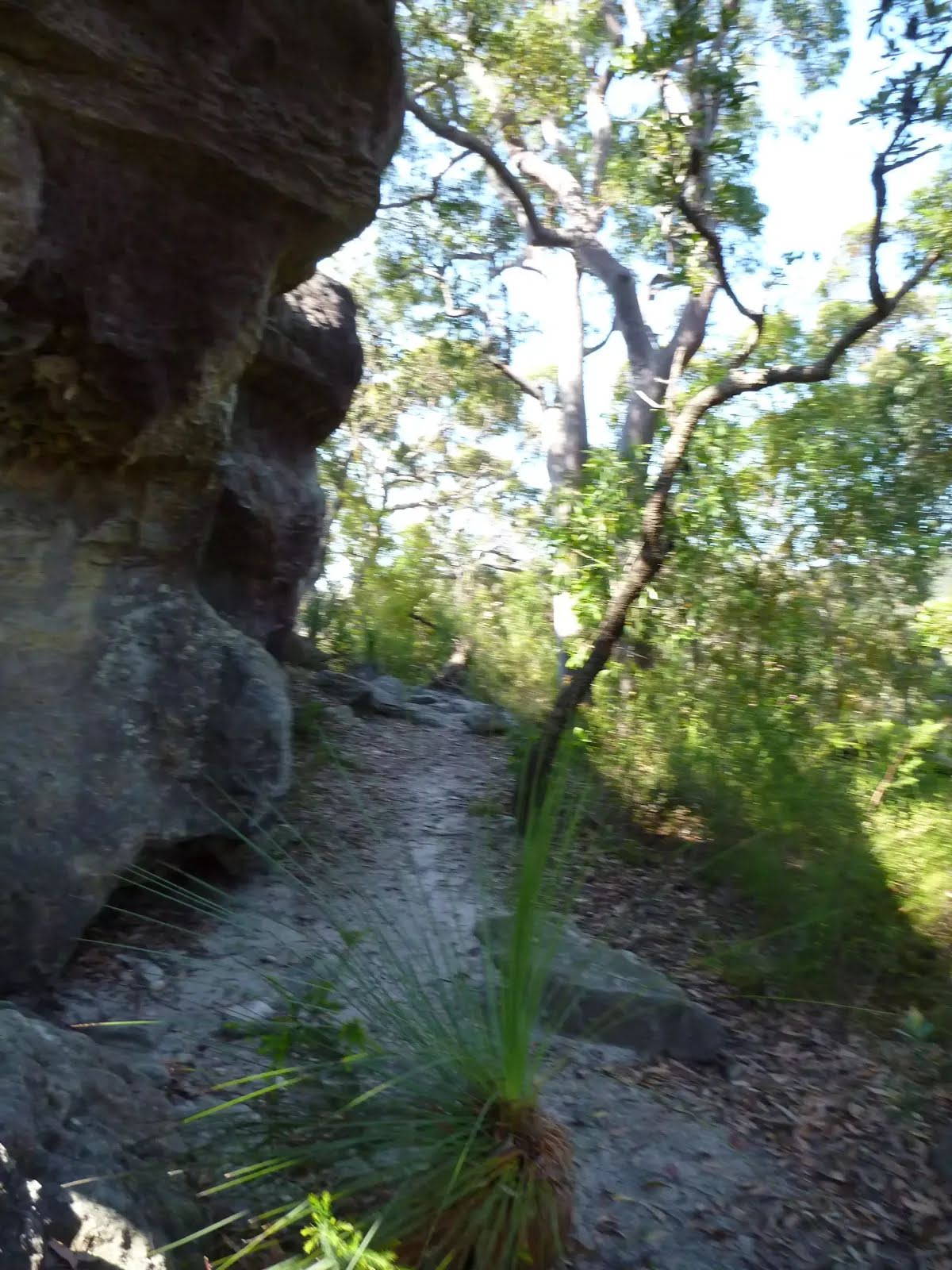
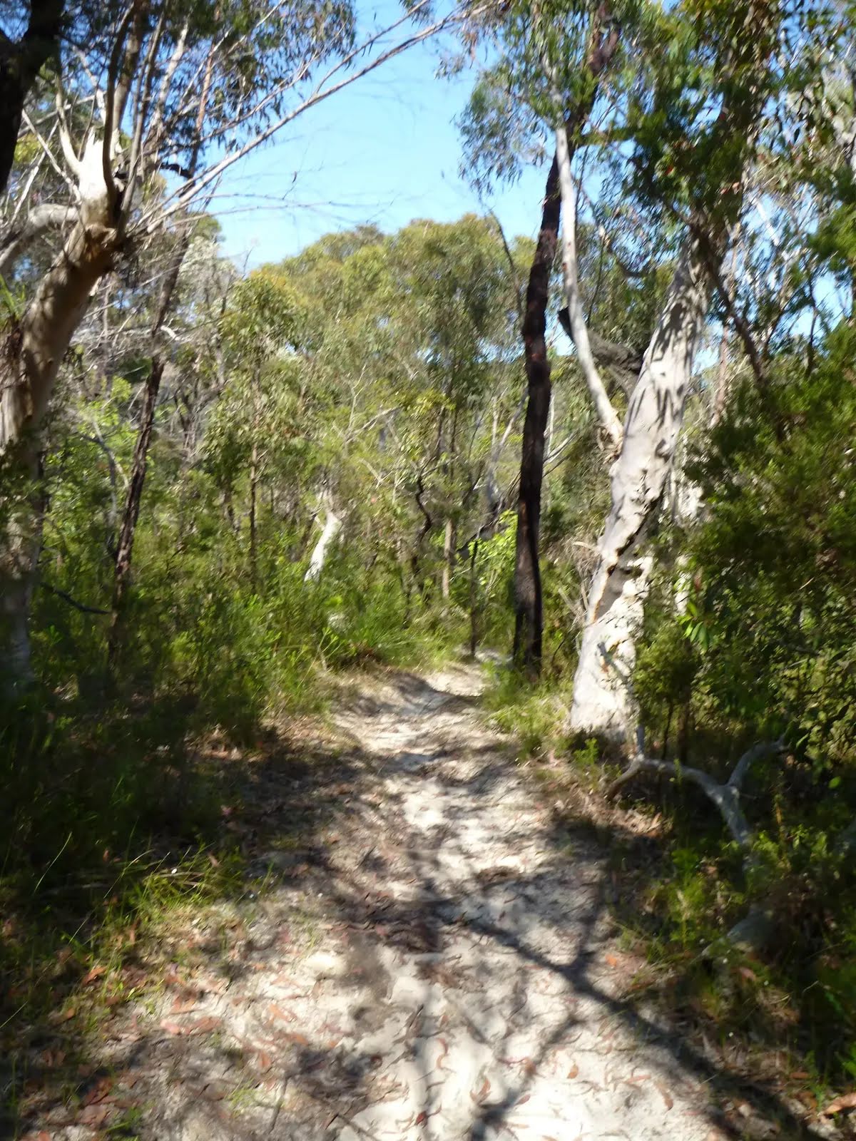
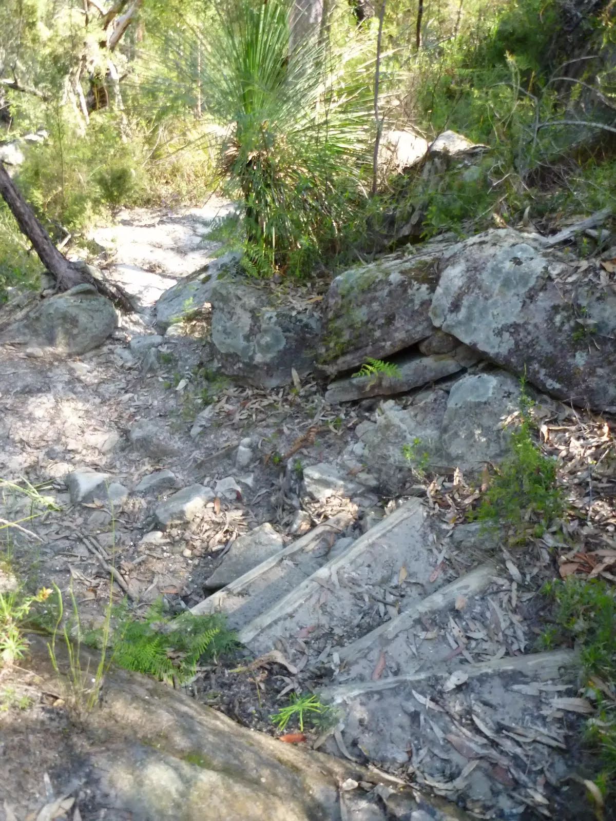
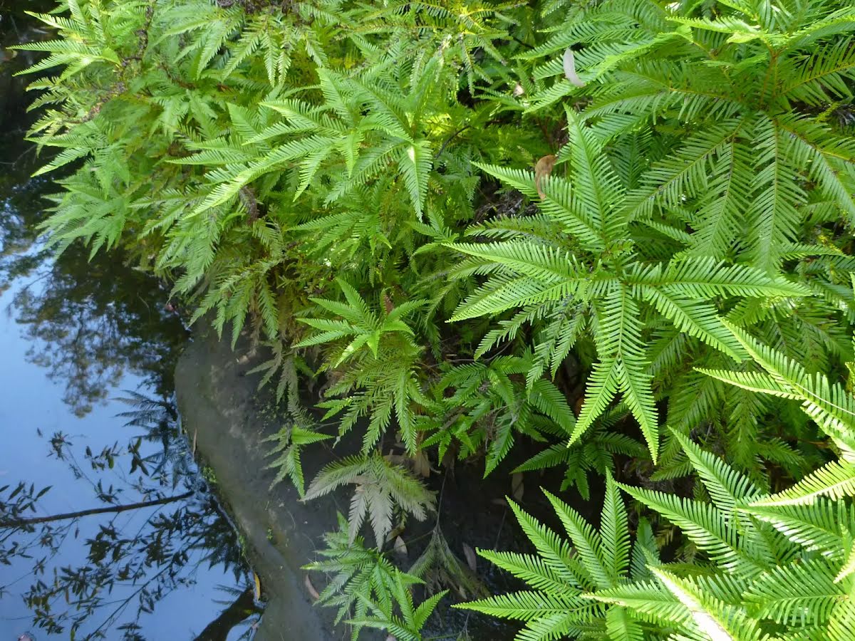
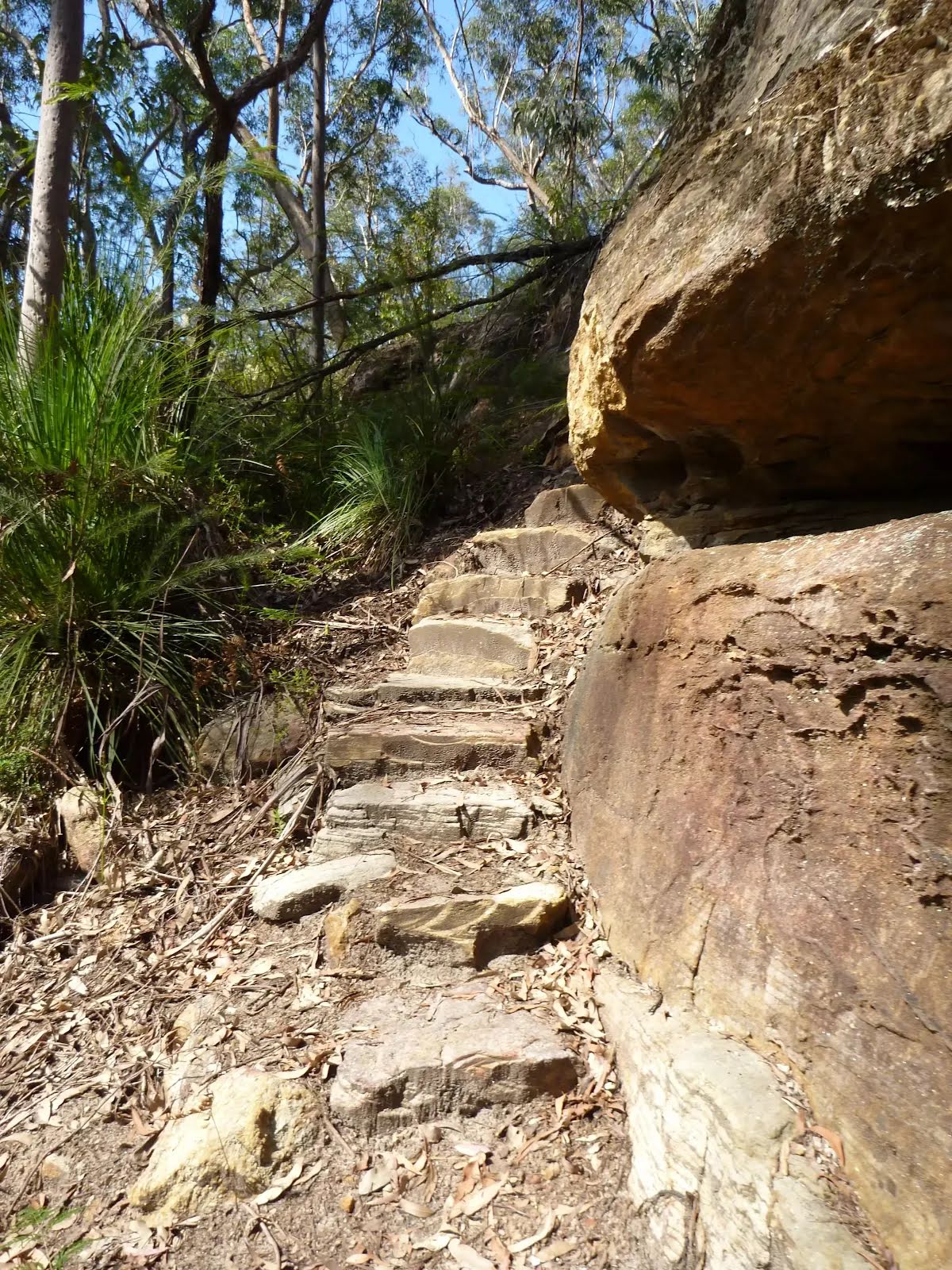
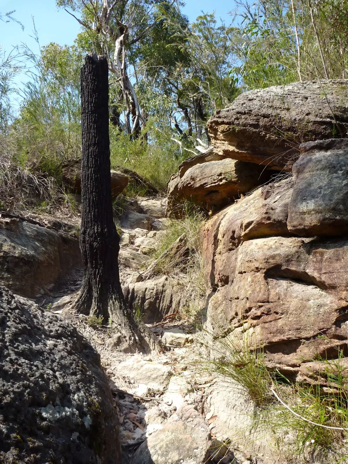
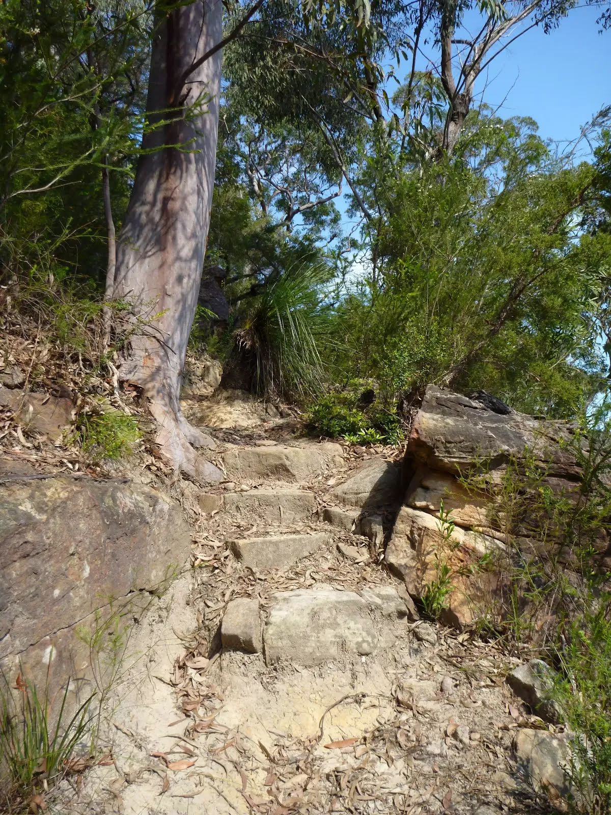
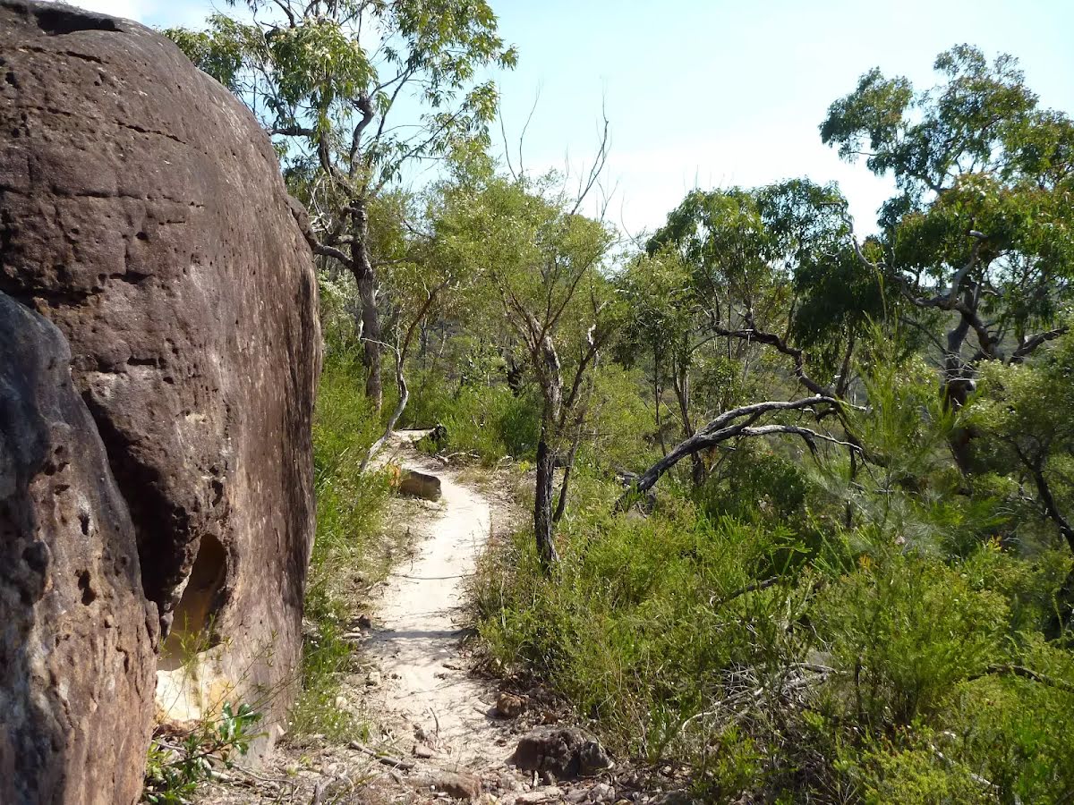
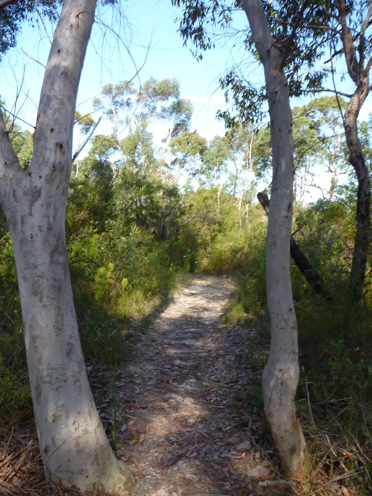
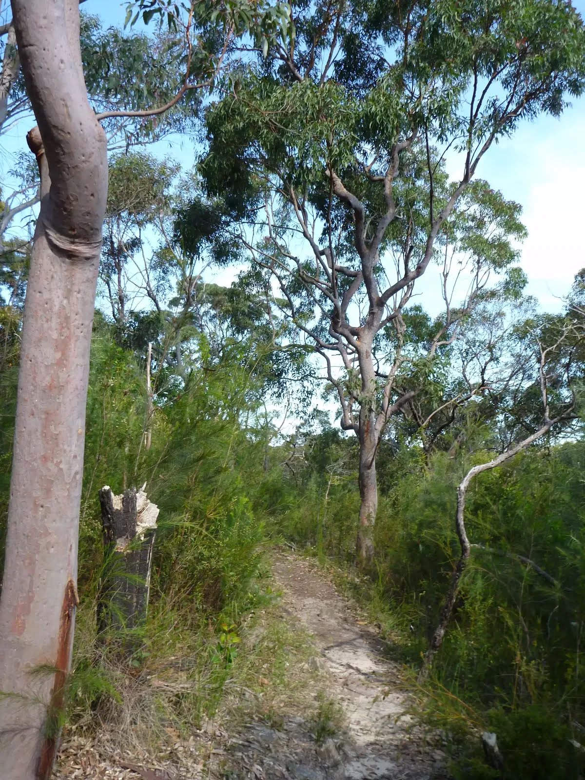
Class 4/6 Hard track |
|---|---|
| Length | 7.3 km |
| Time | 3 h 15 min to 3 h 30 min |
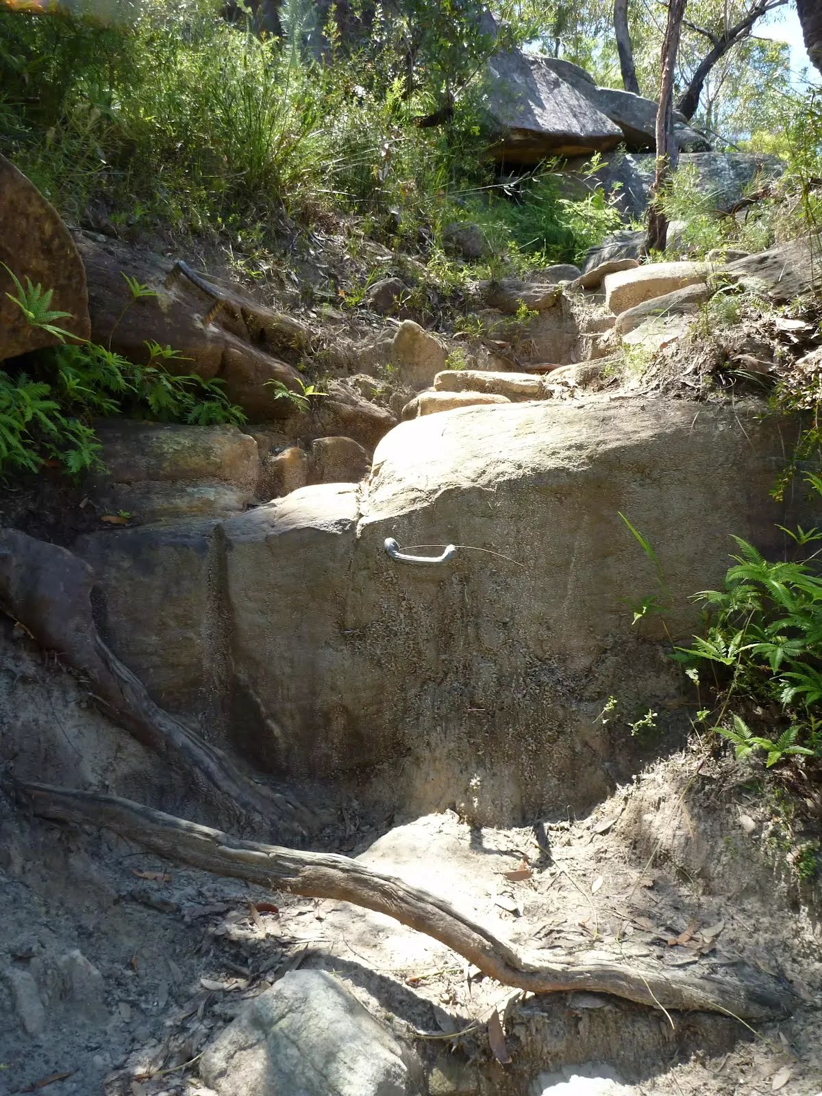
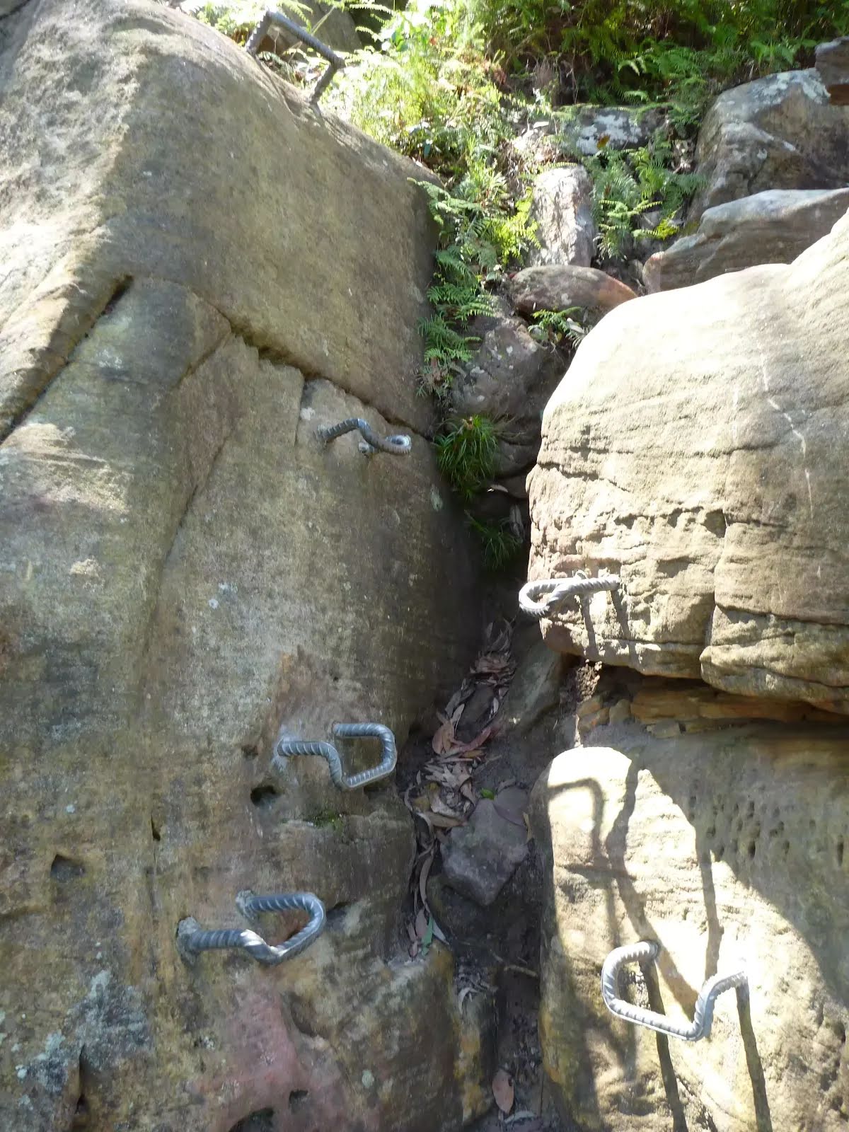
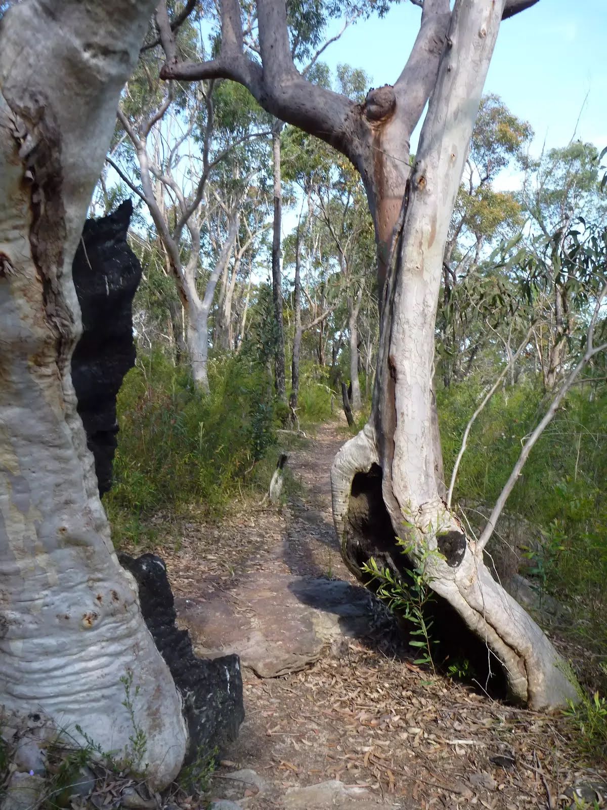
| Quality of track | Rough track, where fallen trees and other obstacles are likely (4/6) |
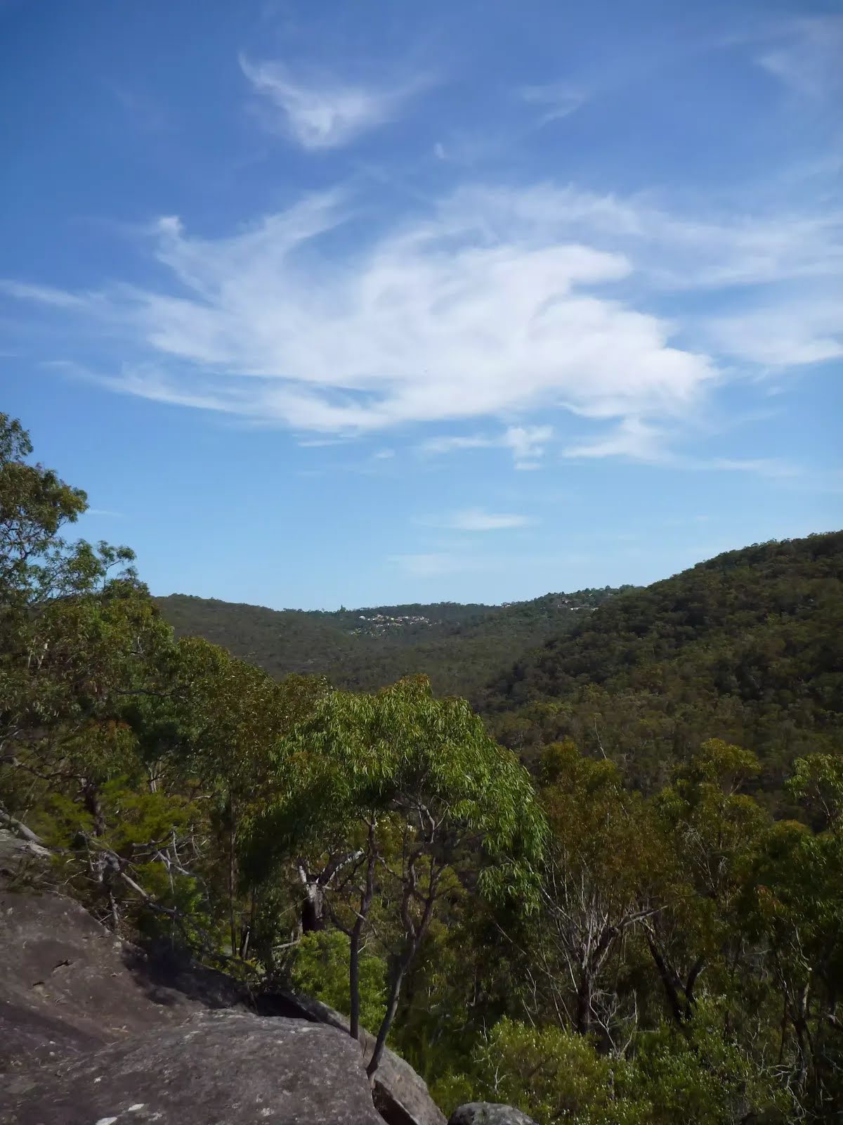
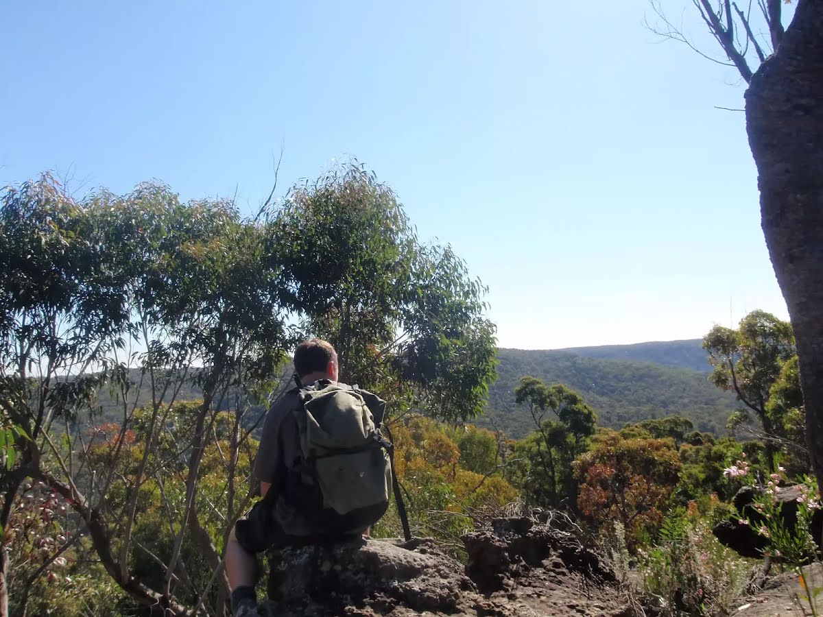
| Gradient | Very steep (4/6) |
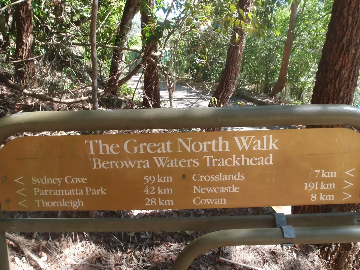
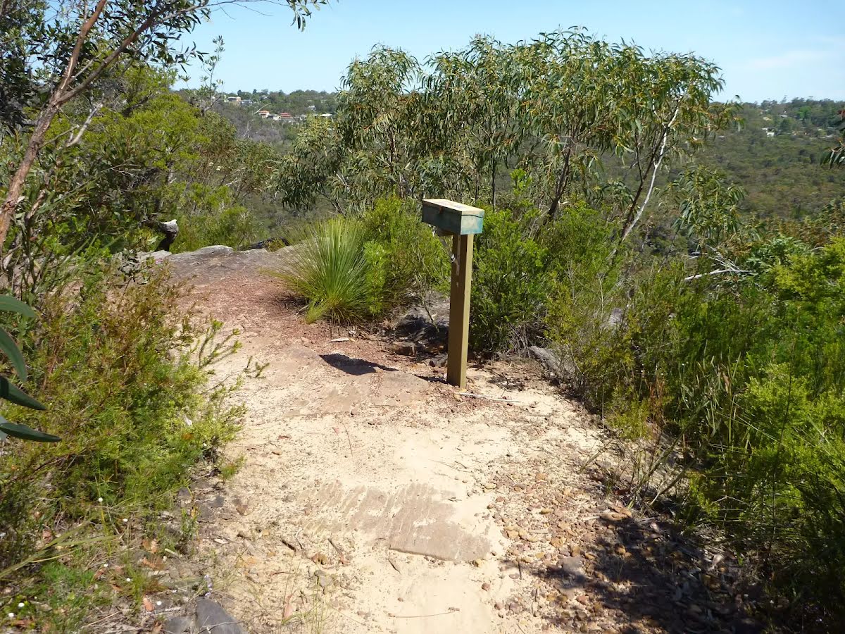
| Signage | Directional signs along the way (3/6) |
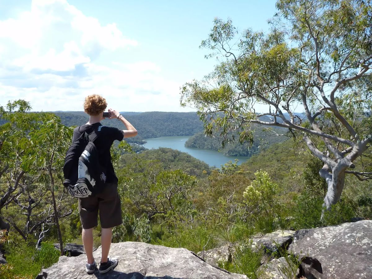
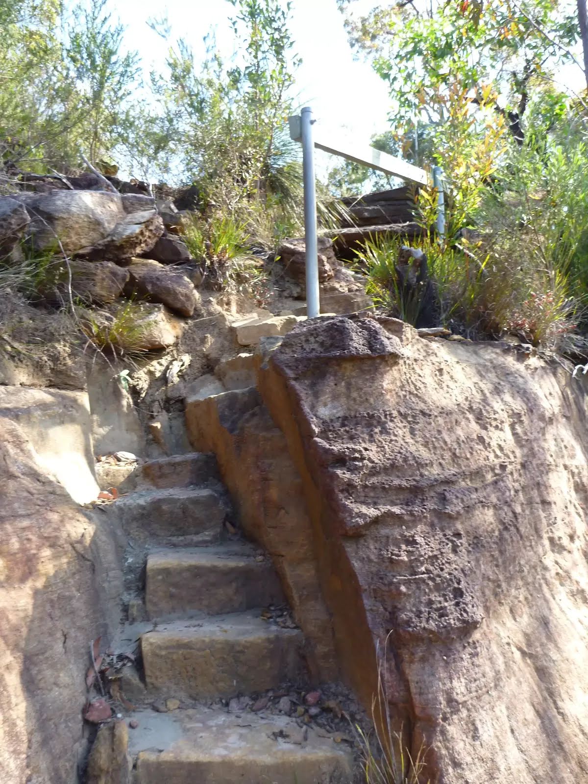
| Infrastructure | Limited facilities, not all cliffs are fenced (3/6) |
| Experience Required | Some bushwalking experience recommended (3/6) |
| Weather | Foretasted & unexpected storms and severe weather may impact on navigation and safety (4/6) |
| Item | From Start | Name & link to notes |
|---|---|---|
Toilet
| 60 m | [toilet] |
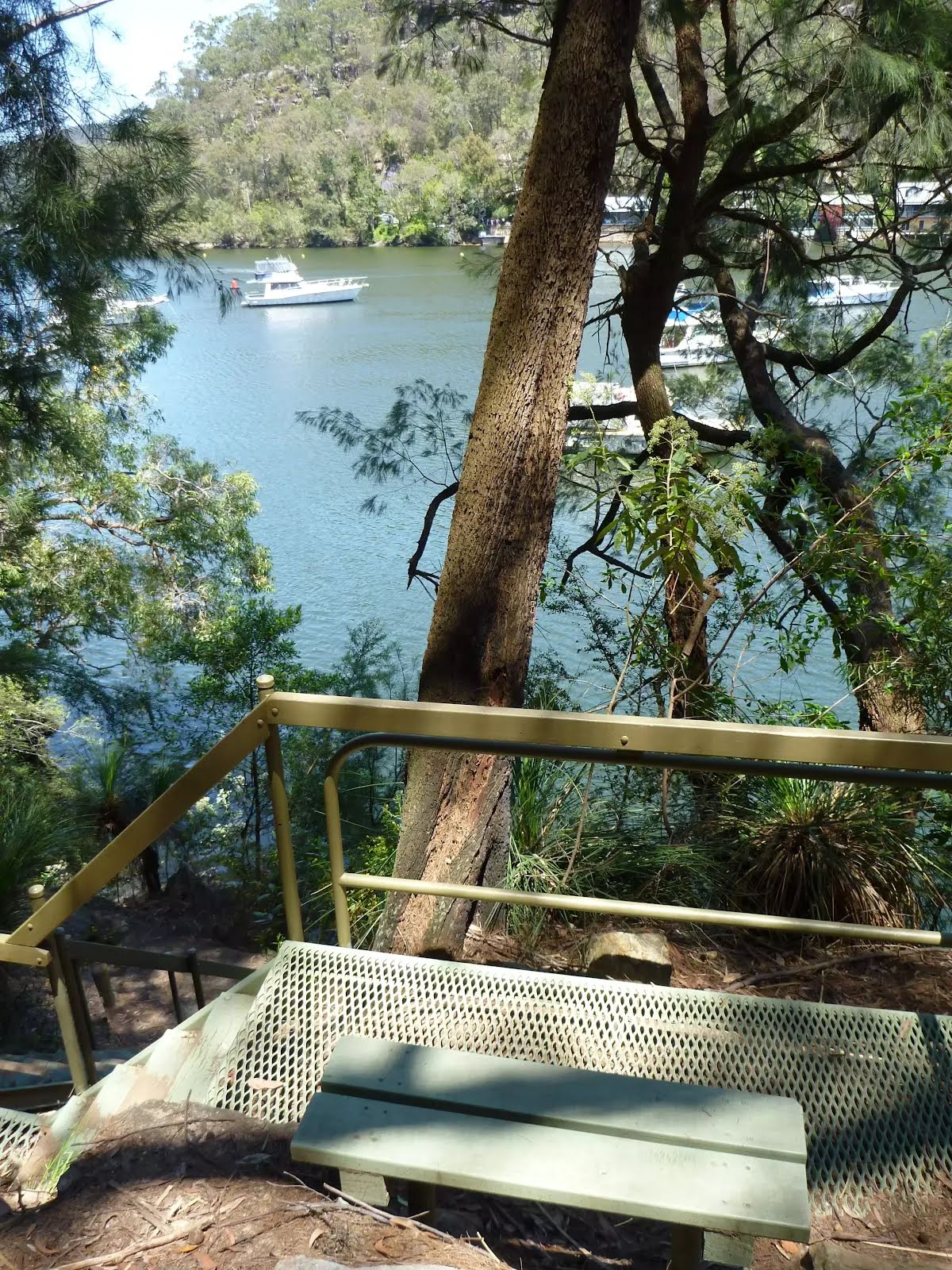
Seat
| 880 m | [seat] |
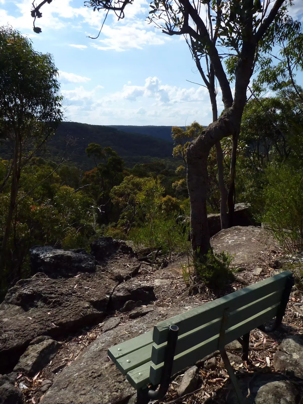
Seat
| 1.9 km | The Roland Murray Bench |
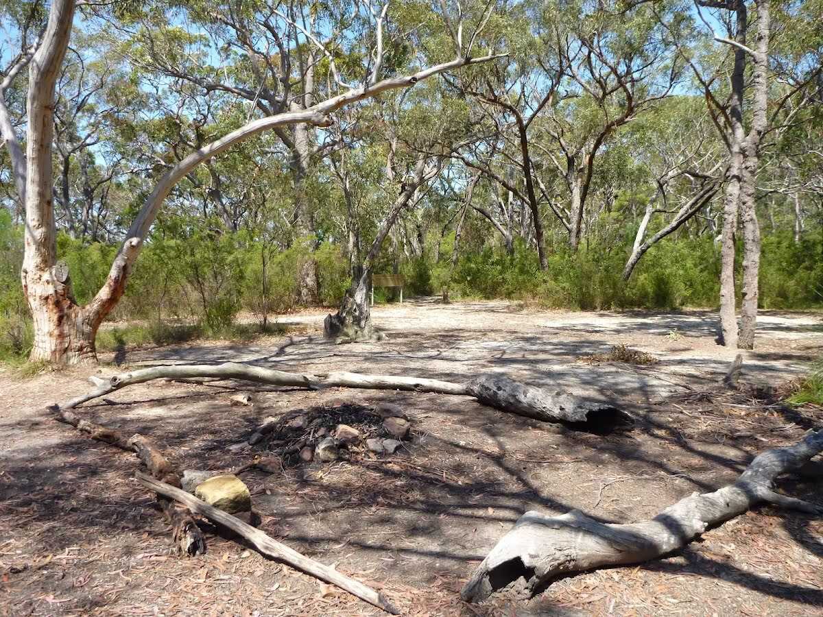
Campsite
| 2.7 km | Ridge Top Campground |
Seat
| 4.8 km | [seat] |
Seat
| 5 km | [seat] |
Toilet
| 7.3 km | [toilet] |
Shelter
| 7.3 km | [shelter] |