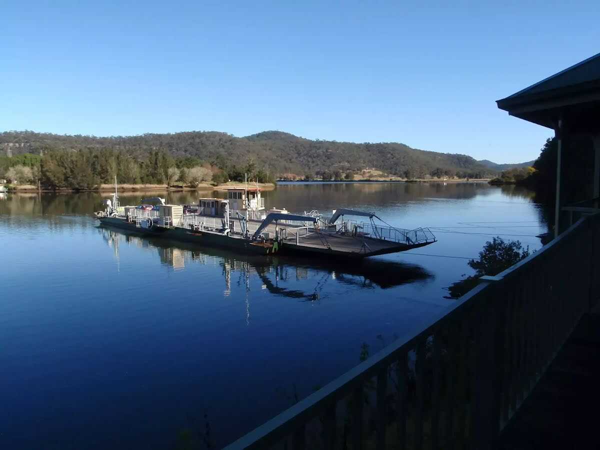


| Start | Station (-33.38017,150.9880031) |
| Mode | Car |
| Finish | At the intersection of Oyster Shell Road & Wisemans Ferry Road (-33.4155977,151.1501615) |
| Mode (end) | Car Shuttle Car |
| Turn map | Directions & comments |
|---|---|
 |
This toilet is wheelchair accessible. W:www.toiletmap.gov.au This toilet is male, female and equipped with a hand-washing basin.
24/7
This toilet is wheelchair accessible. W:www.toiletmap.gov.au This toilet is male, female and equipped with a hand-washing basin.
24/7 |
 |
At the intersection of Wisemans Ferry Road & Old Northern Road turn left, to head along Wisemans Ferry Road.
|
 |
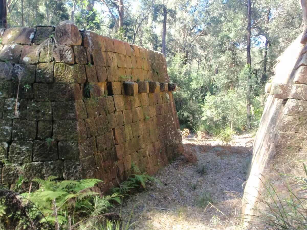
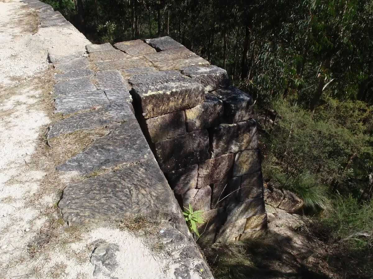
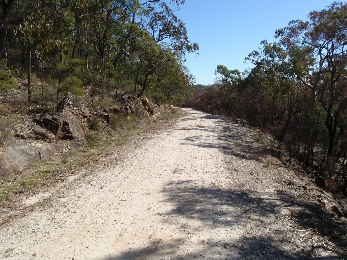
After another 90 m (at the intersection of Old Great North Road & Settlers Road) veer right, to head along Old Great North Road (a vehicle track).
|
 |
At the intersection of Old Great North Road & Shepherds Gully Road veer right, to head along Old Great North Road.
|
 |
After another 790 m (at the intersection of Old Great North Road & Wat Loop Trail) continue straight, to head along Old Great North Road.
|
 |
After another 570 m (at the intersection of Simpsons Track & Old Great North Road) veer right, to head along Simpsons Track.
|
 |
After another 4.7 km (at the intersection of Simpsons Track & Ten Mile Hollow Road) veer right, to head along Simpsons Track.
|
 |
|
 |
|
 |

|
|
Class 4/6 Hard track |
|---|---|
| Length | 34.4 km |
| Time | 10 h to 2 days |
| Quality of track | Clear and well formed track or trail (2/6) |
| Gradient | Very steep (4/6) |
| Signage | Directional signs along the way (3/6) |
| Infrastructure | Limited facilities, not all cliffs are fenced (3/6) |
| Experience Required | Some bushwalking experience recommended (3/6) |
| Weather | Storms may impact on navigation and safety (3/6) |
| Item | From Start | Name & link to notes |
|---|---|---|
Toilet
| -79 m | Public Toilet Wisemans Ferry Park |
Toilet
| 310 m | Public Toilet Wisemans Ferry Crossing |
Camp site
| 16.6 km | Ten Mile Hollow |
Toilet
| 16.6 km | [toilet] |