
| Start | (-33.4317118,151.2766347) |
| Mode | Car (A park entry fee is required for driving into the park.) |
| Directions | From Wisemans Ferry Road Offramp
|
| Turn map | Directions & comments |
|---|---|
 |
|
 |
|
 |
|
 |
|
 |
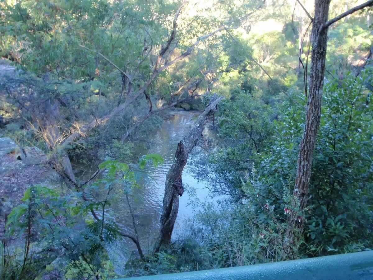
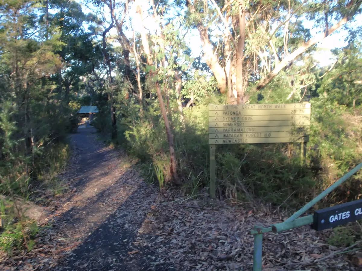
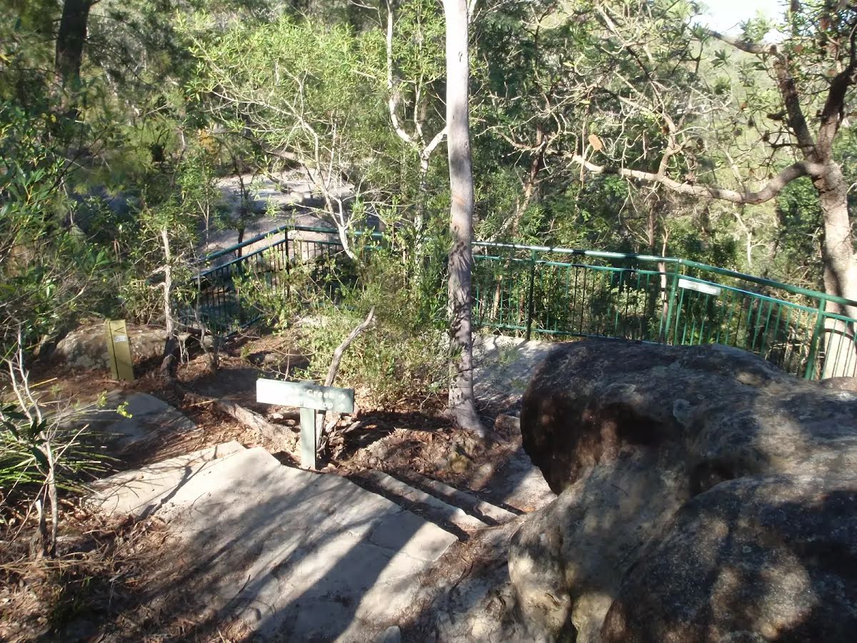
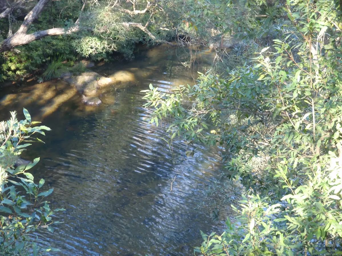
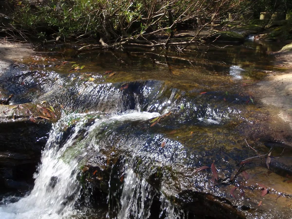
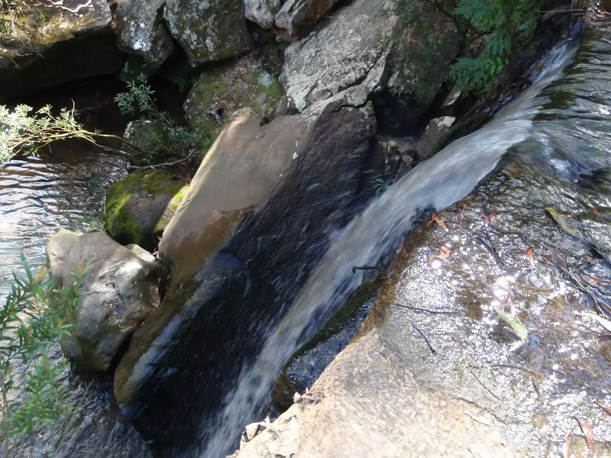
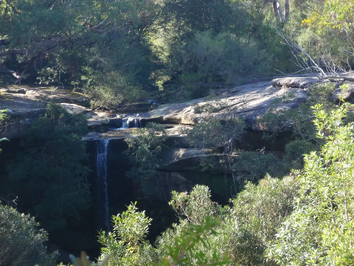
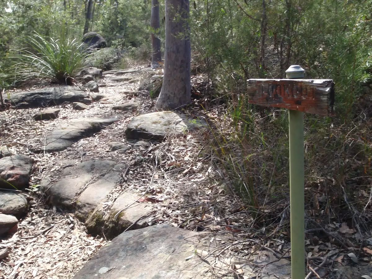
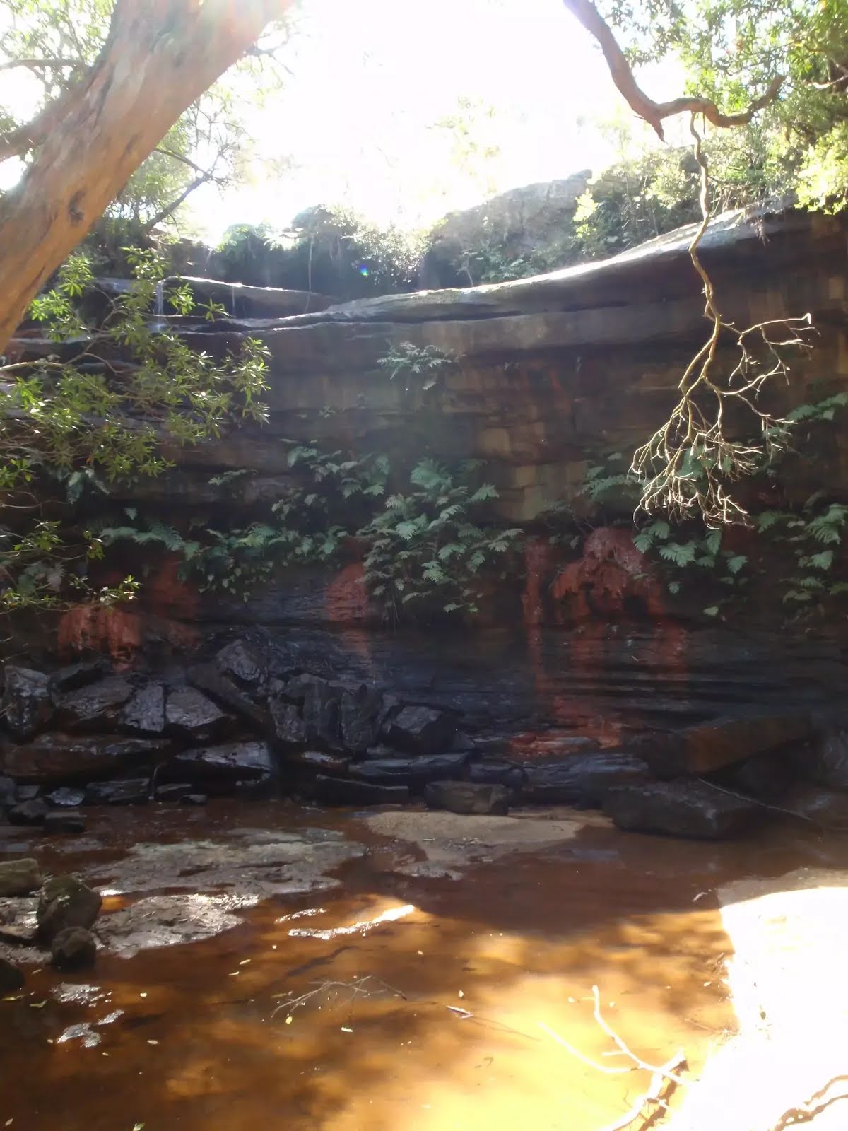
The starting point of an optional sidetrip. An optional side trip to Piles Creek Waterfall. To start this optional side trip turn left here. On returning from this side trip turn left when you get back to this intersection. Details below.
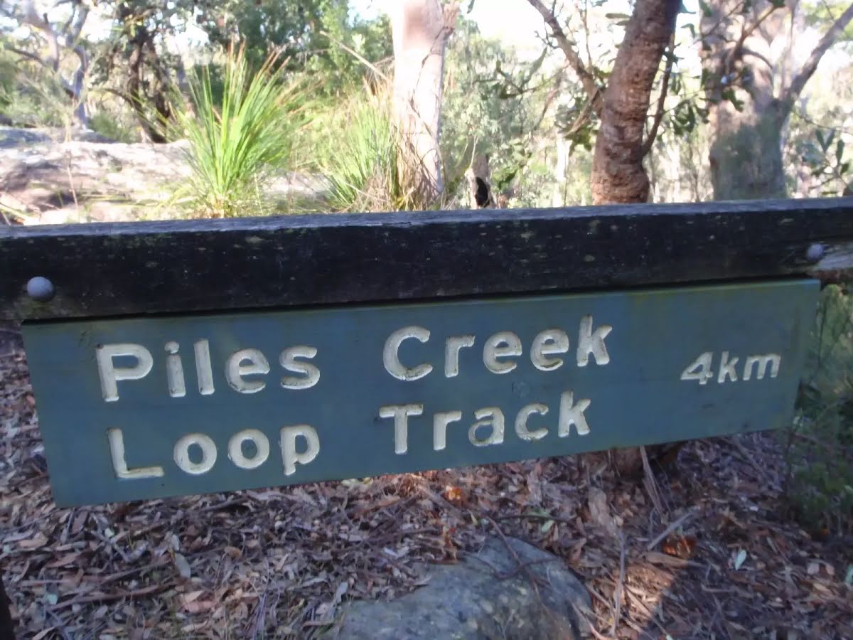
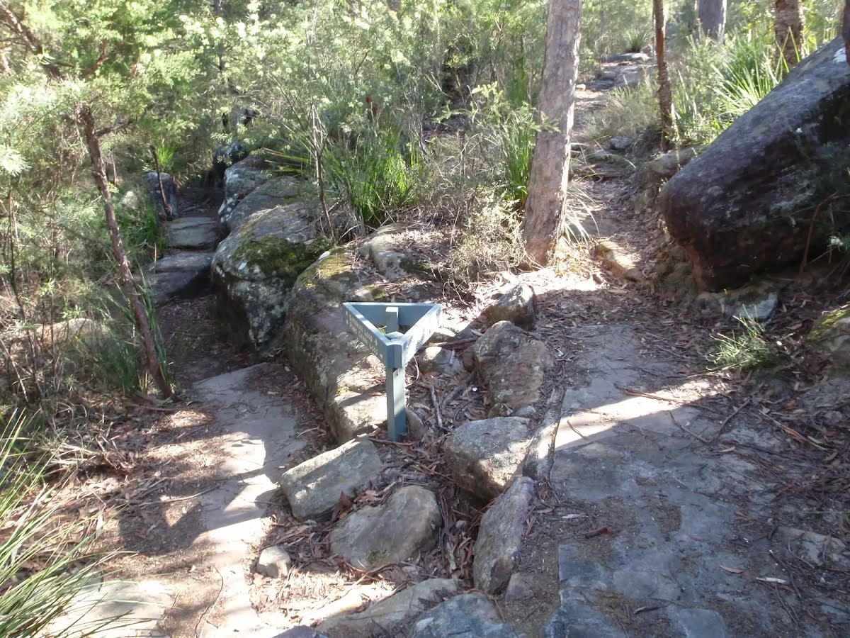
After another 40 m (at the intersection of Girrakool Loop Track & Piles Creek Loop) continue straight, to head along Girrakool Loop Track.
|
 |
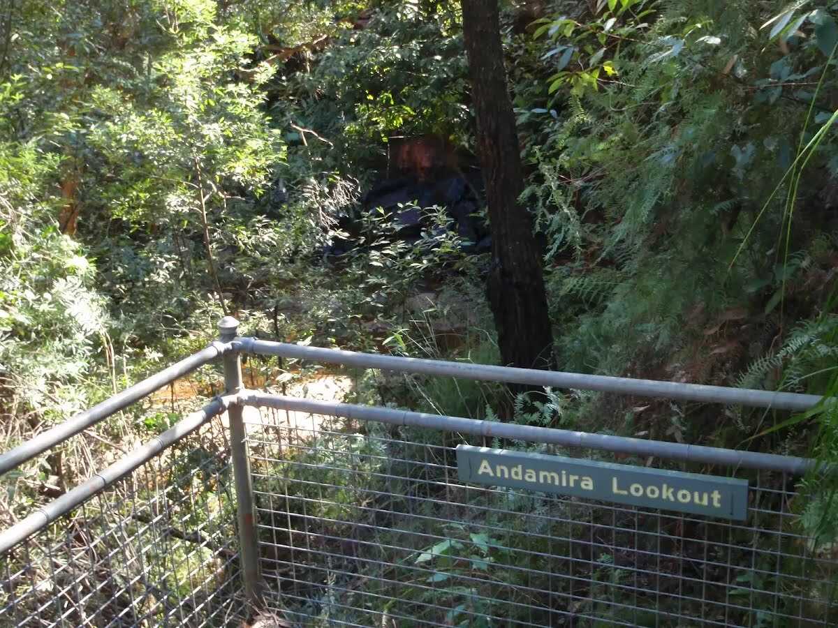
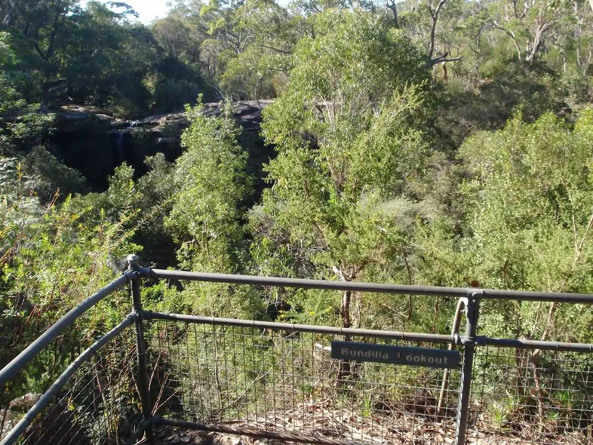
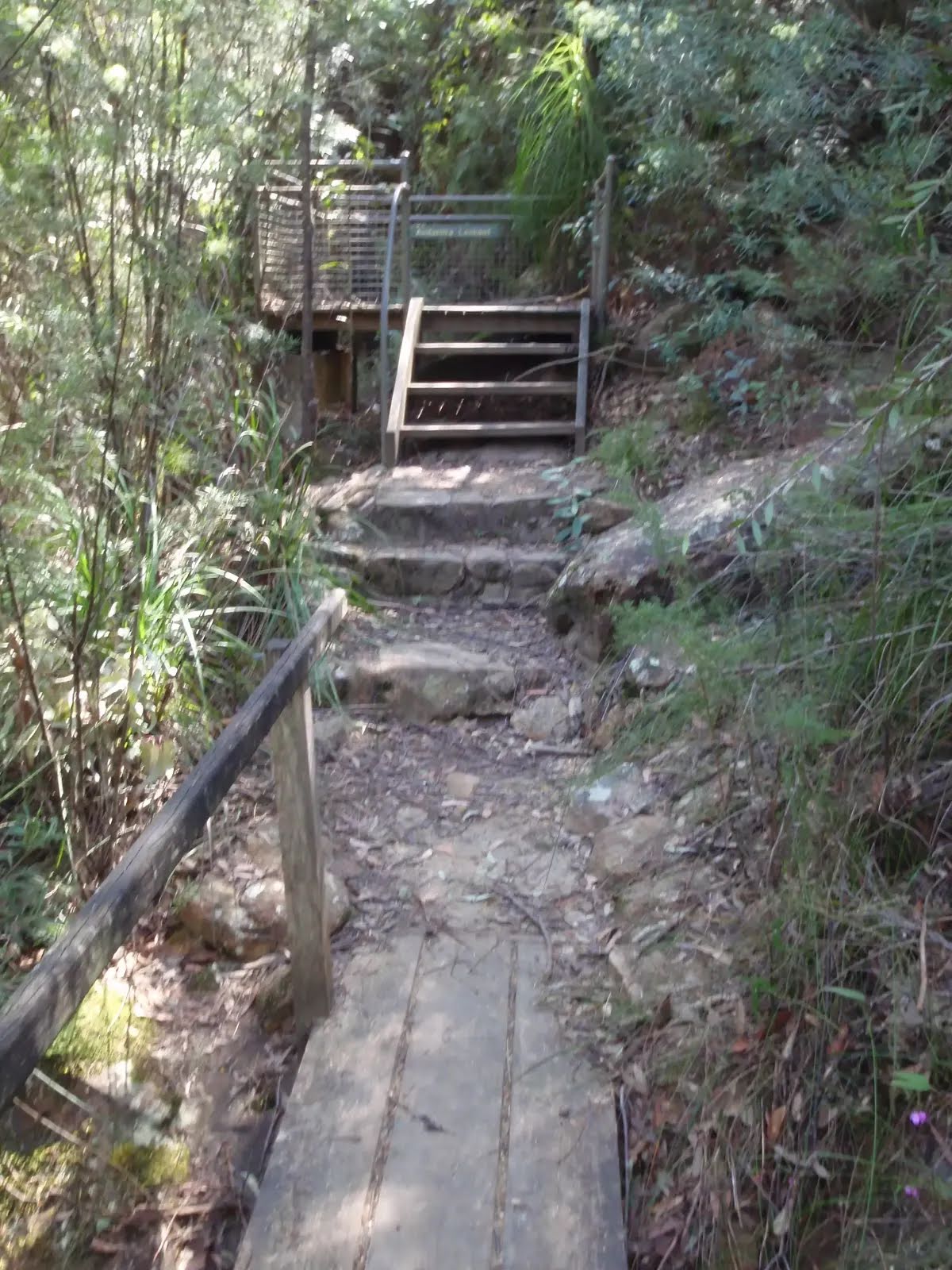
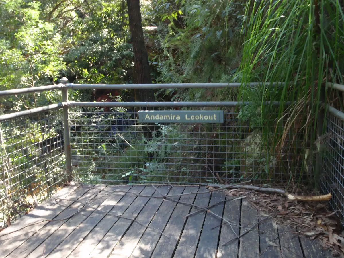
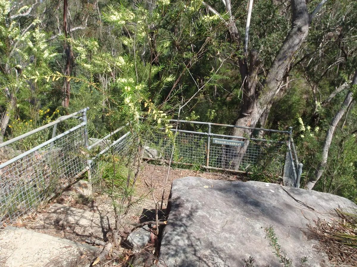
The starting point of an optional sidetrip. An optional side trip to Bundilla Lookout. To start this optional side trip veer left here. On returning from this side trip turn around when you get back to this intersection. Details below.
|
 |
|
 |
|
 |
|

|
|
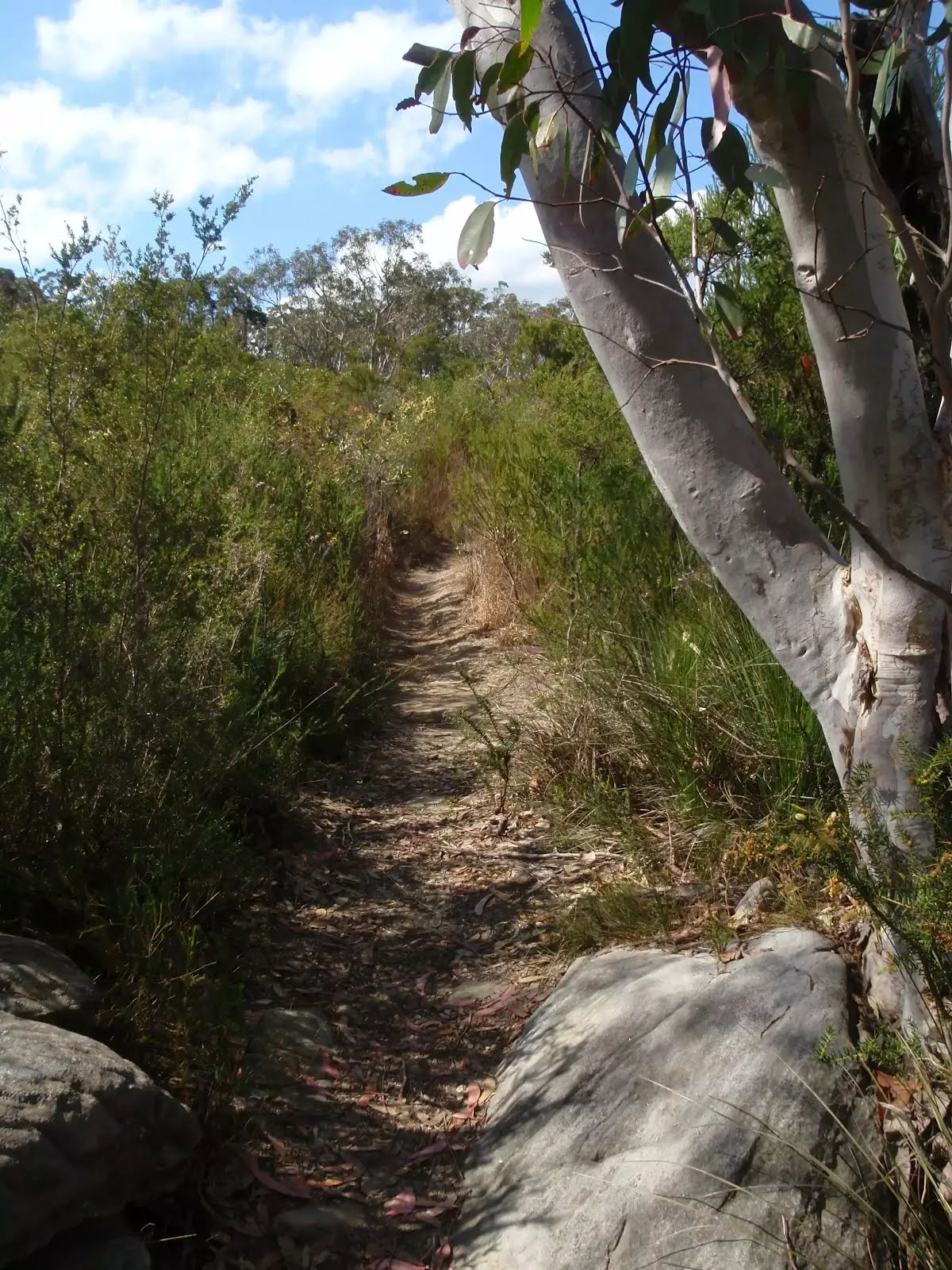
Class 3/6 Moderate track |
|---|---|
| Length | 1.1 km |
| Time | 25 min to 30 min |
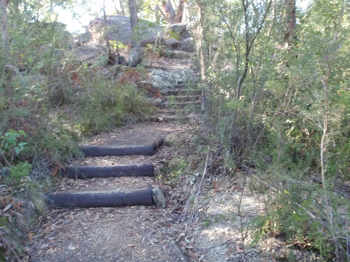
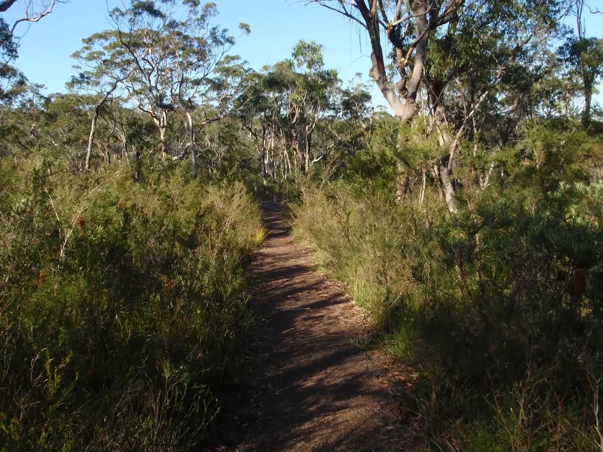
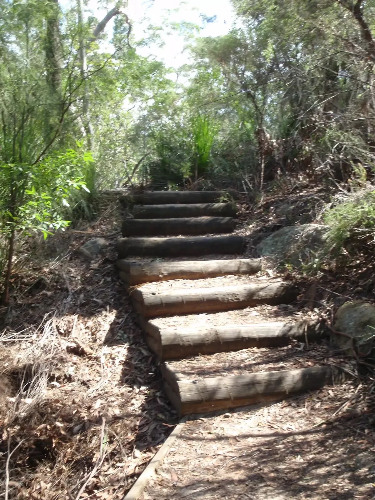
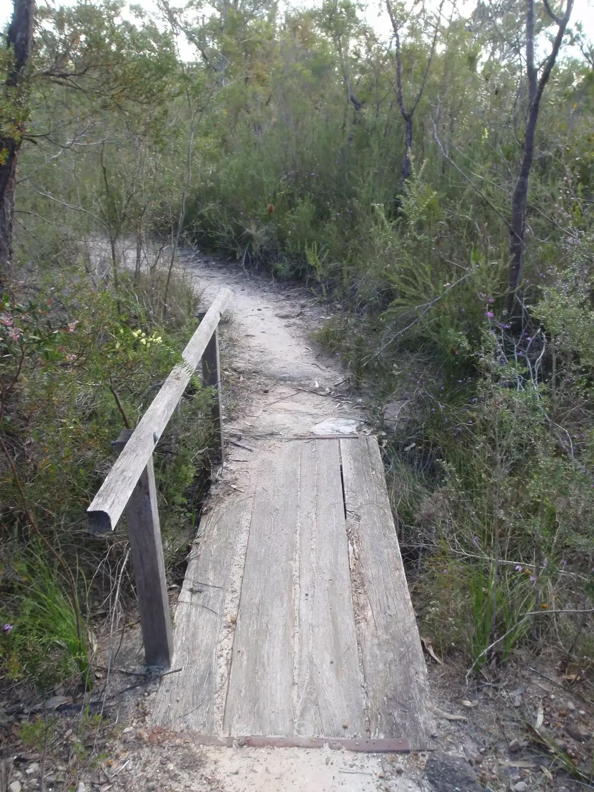
| Quality of track | Formed track, with some branches and other obstacles (3/6) |
| Gradient | Short steep hills (3/6) |
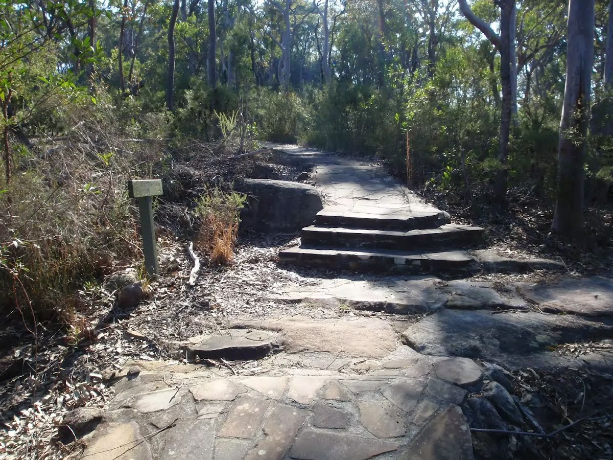
| Signage | Directional signs along the way (3/6) |
| Infrastructure | Generally useful facilities (such as fenced cliffs and seats) (1/6) |
| Experience Required | No experience required (1/6) |
| Weather | Weather generally has little impact on safety (1/6) |
| Item | From Start | Name & link to notes |
|---|---|---|
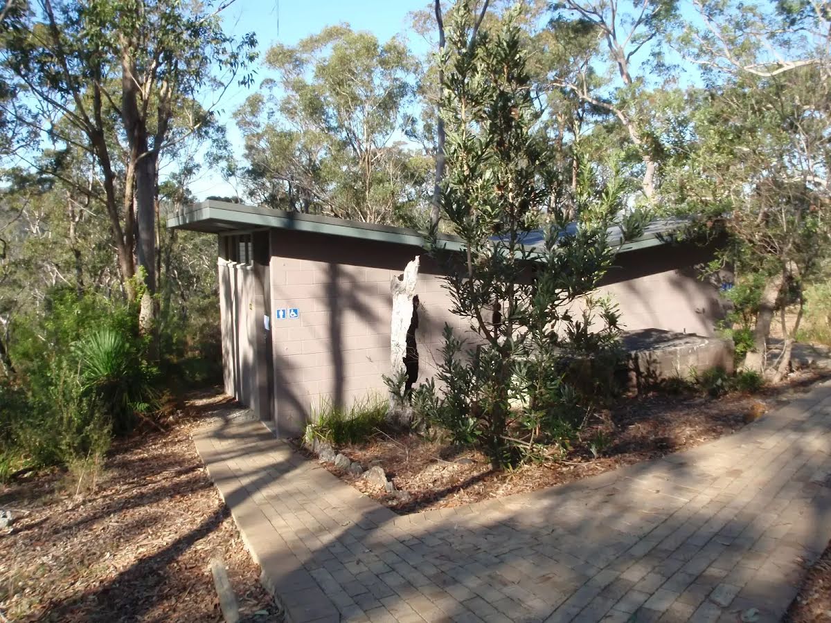
Toilet
| 80 m | [toilet] |