Saltwater Creek Campsite to Mowarry Point
Yuin Country

2 h 45 min to 3 h

8.4 km
return

↑ 162 m
↓ -162 m

Hard track
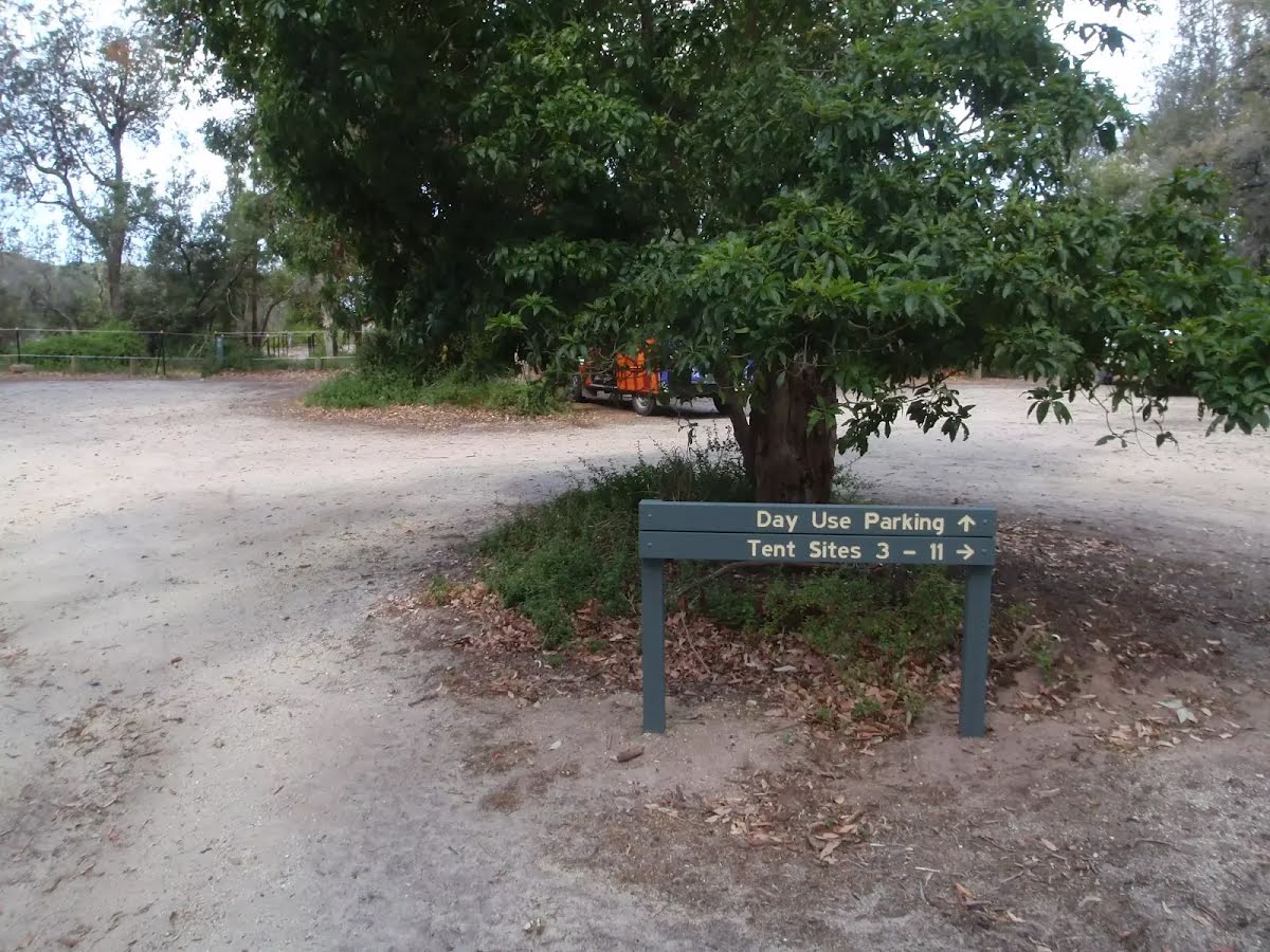
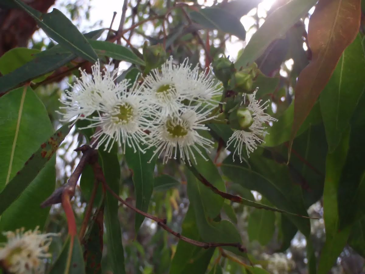
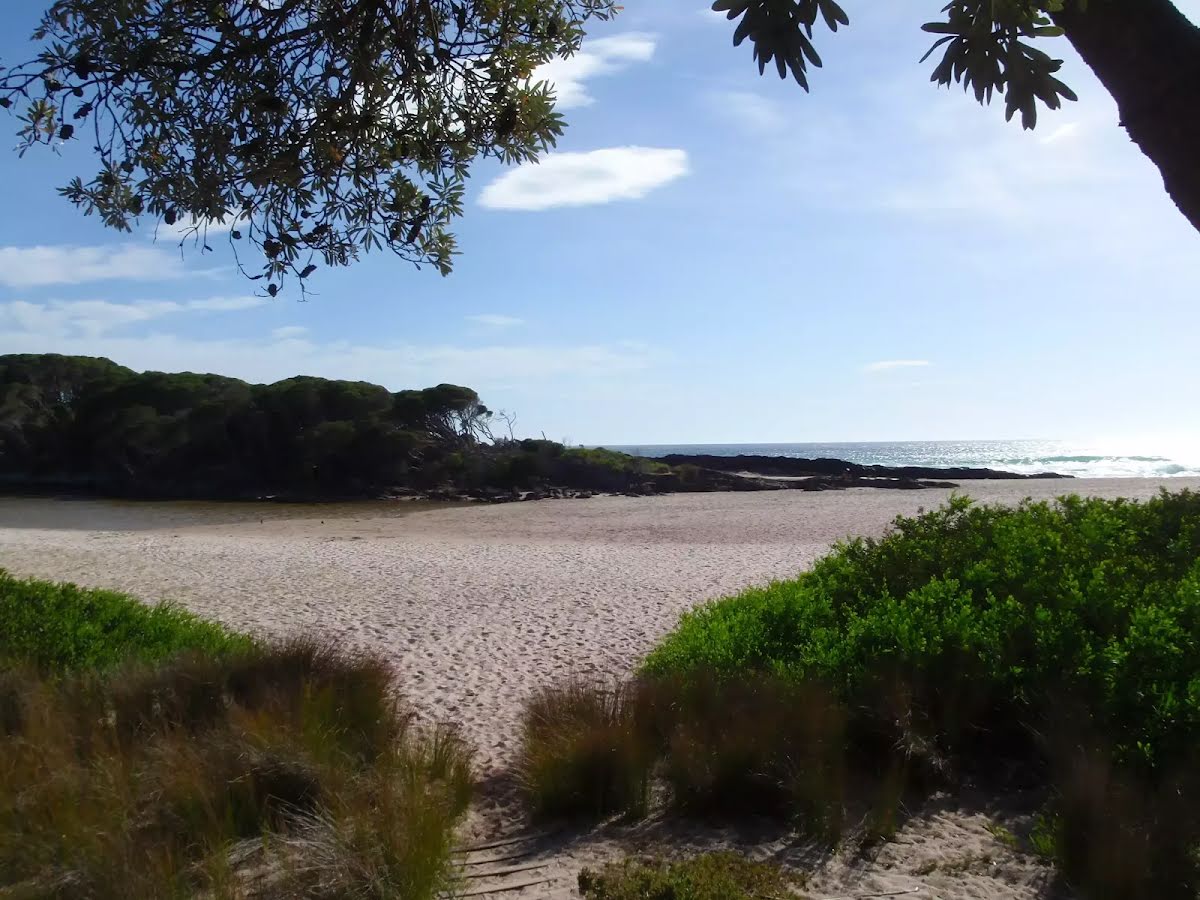
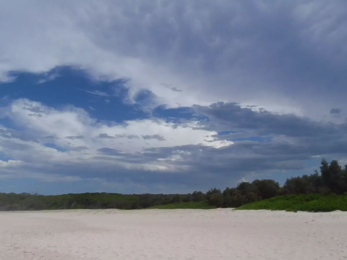
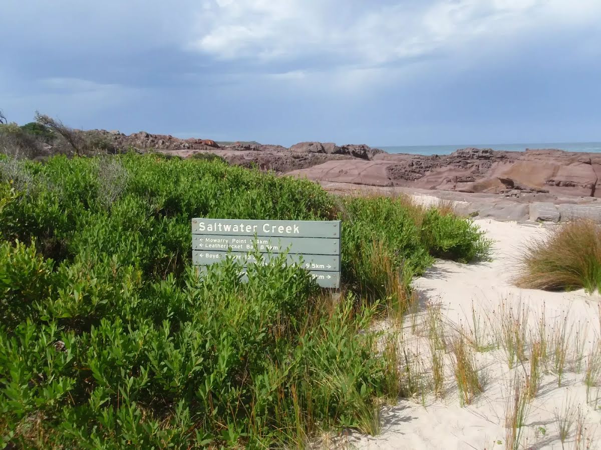
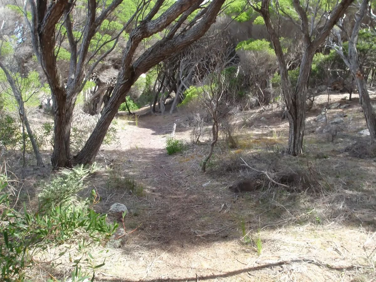
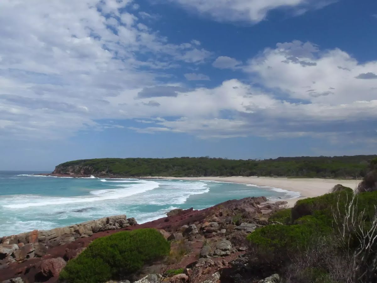
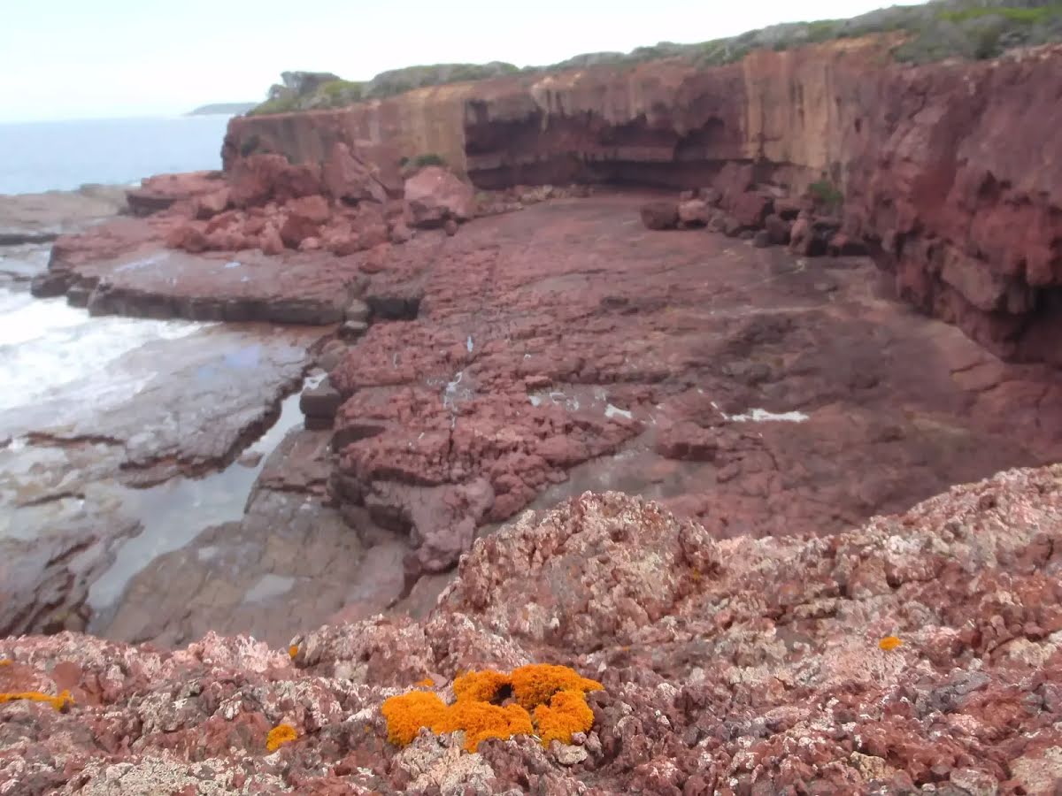
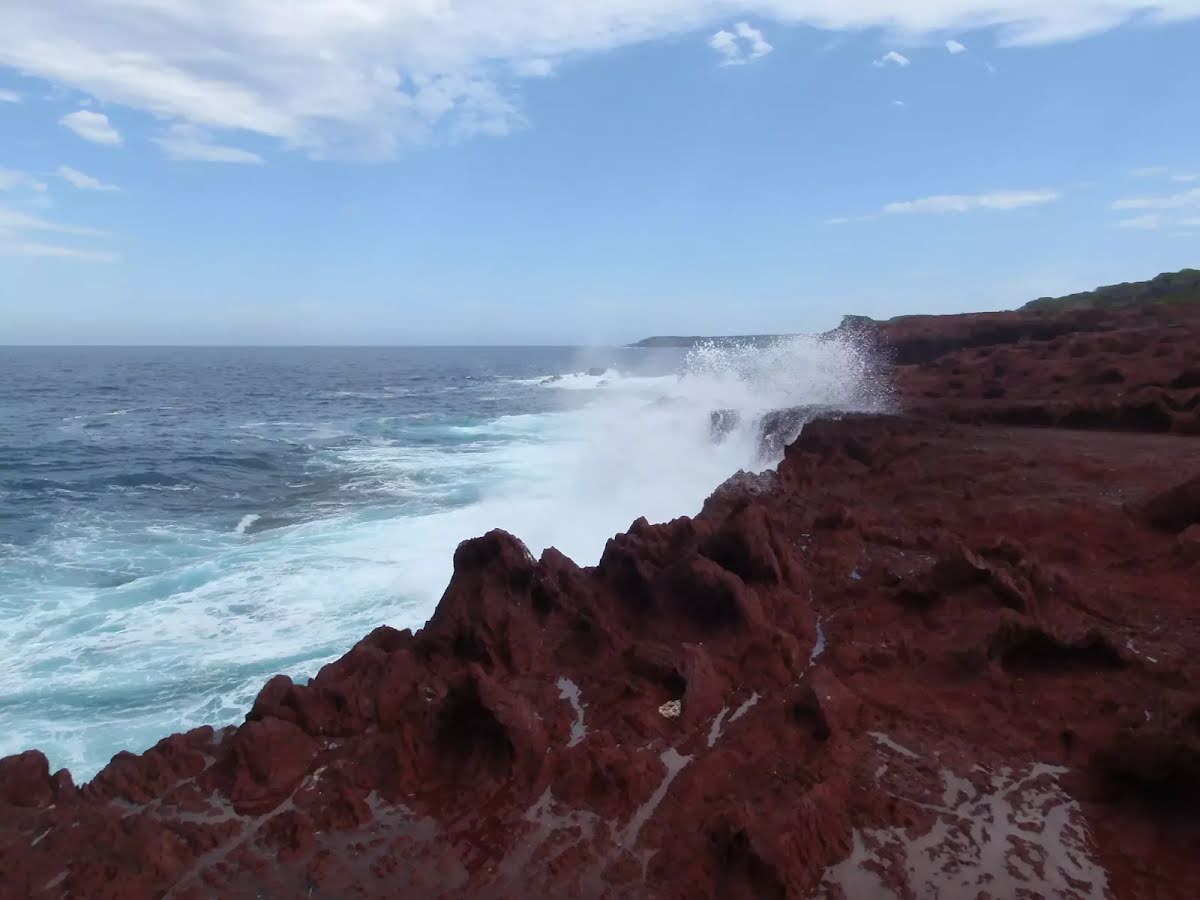
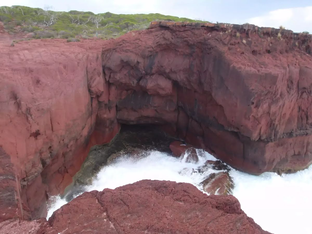
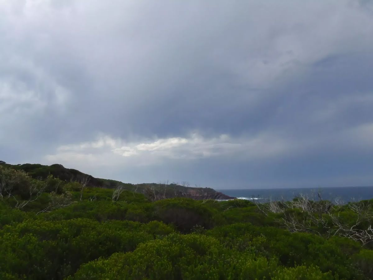
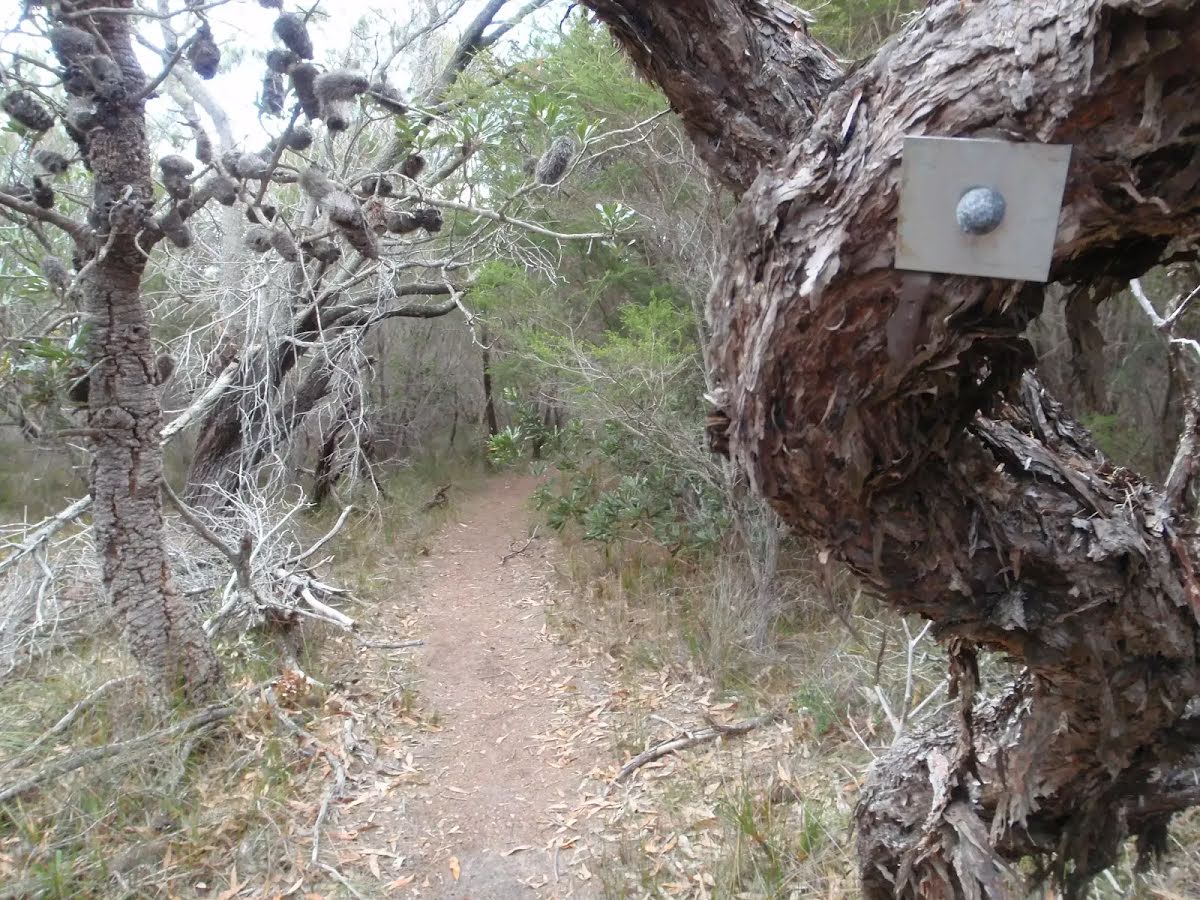
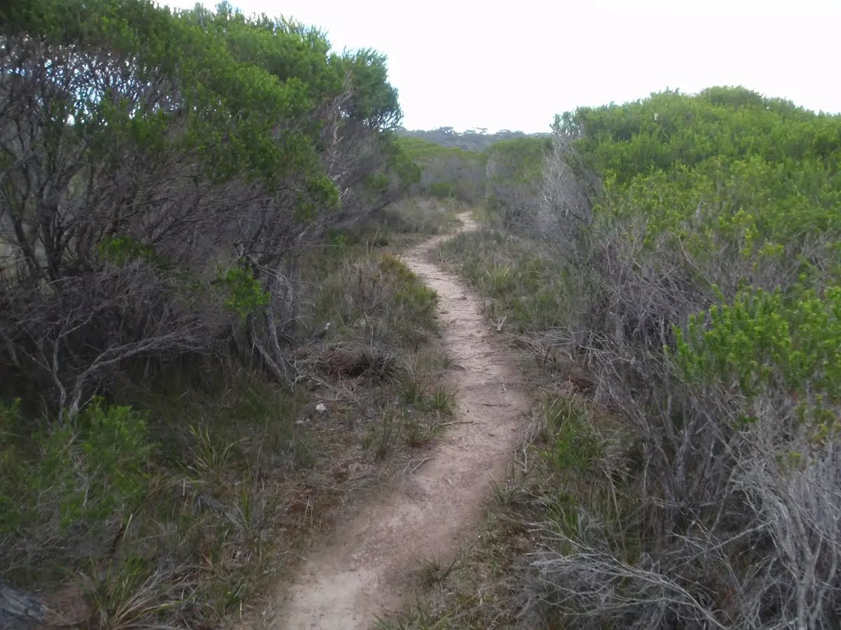
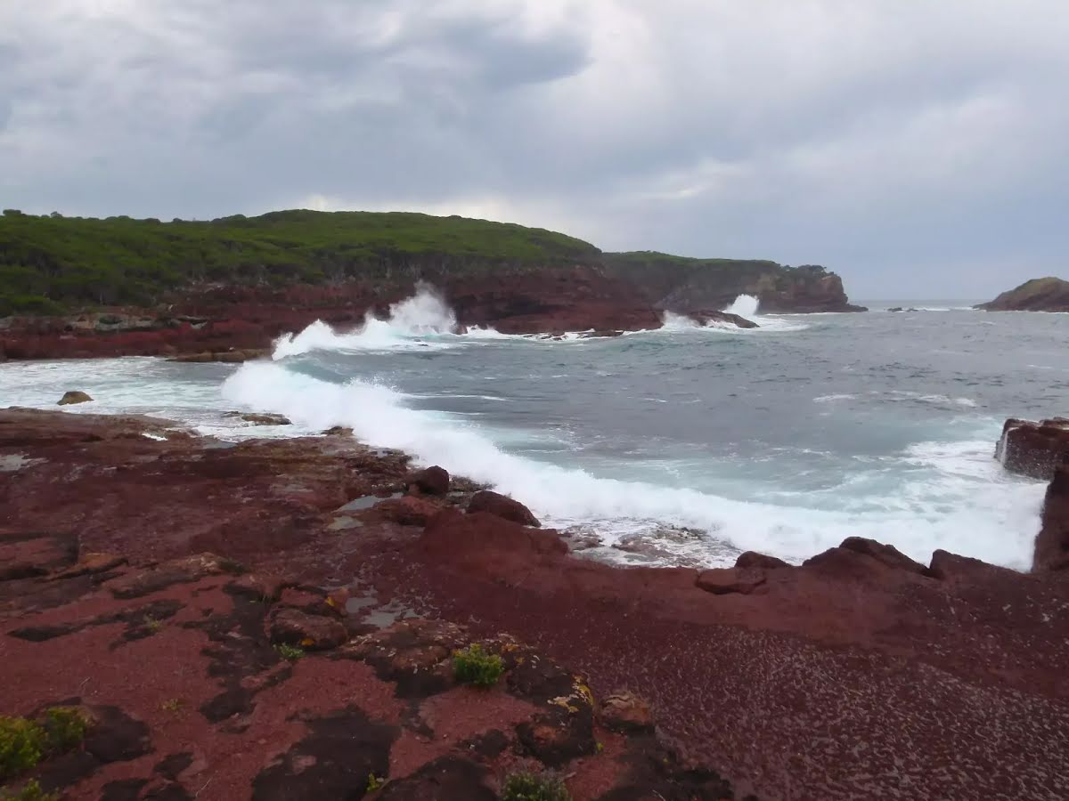
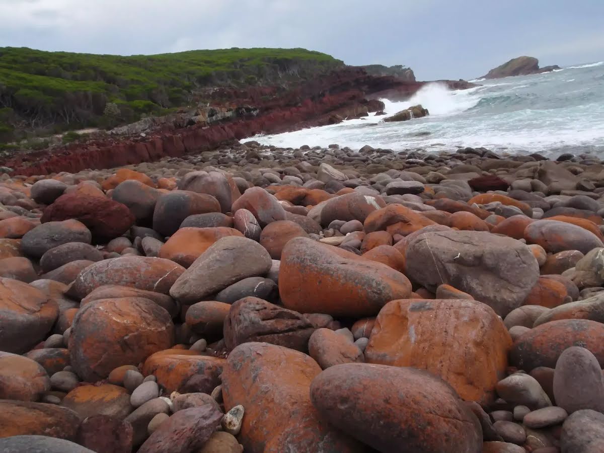
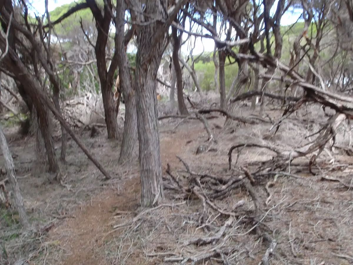
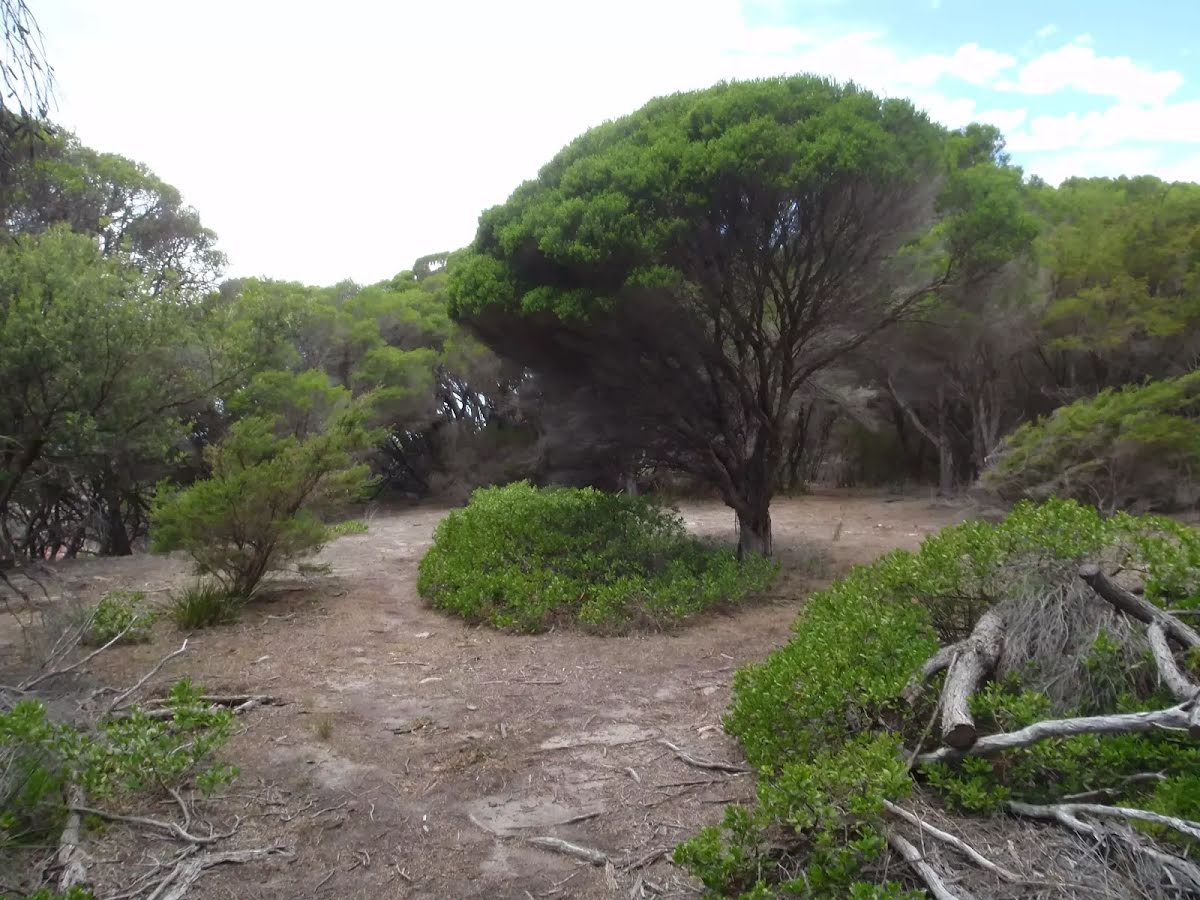
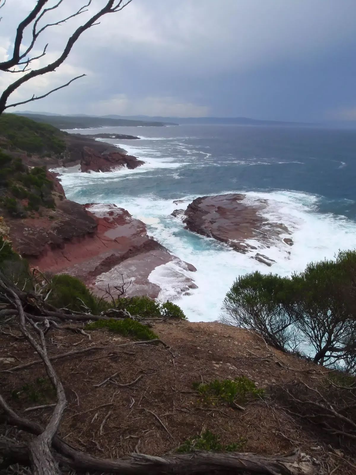
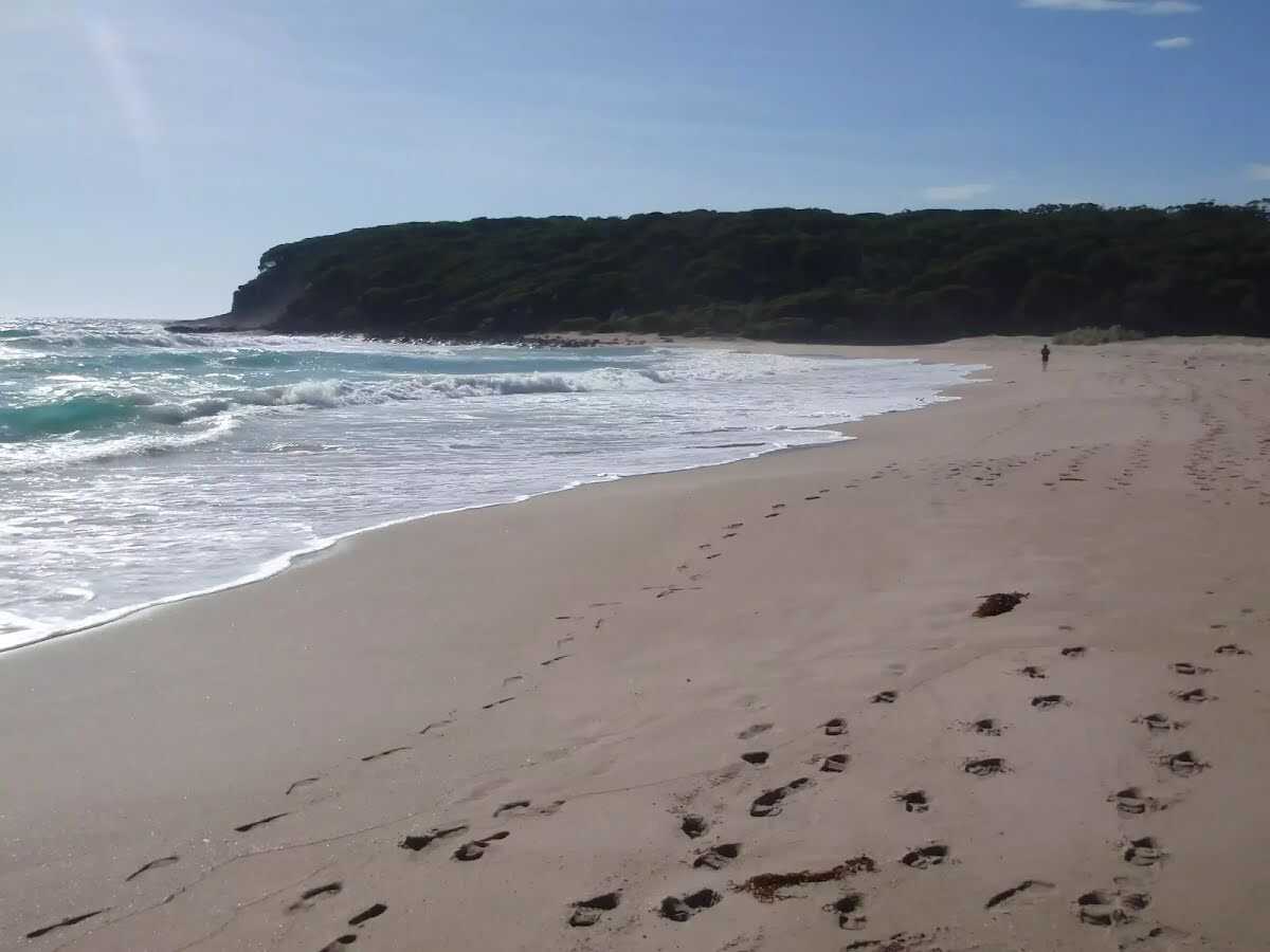
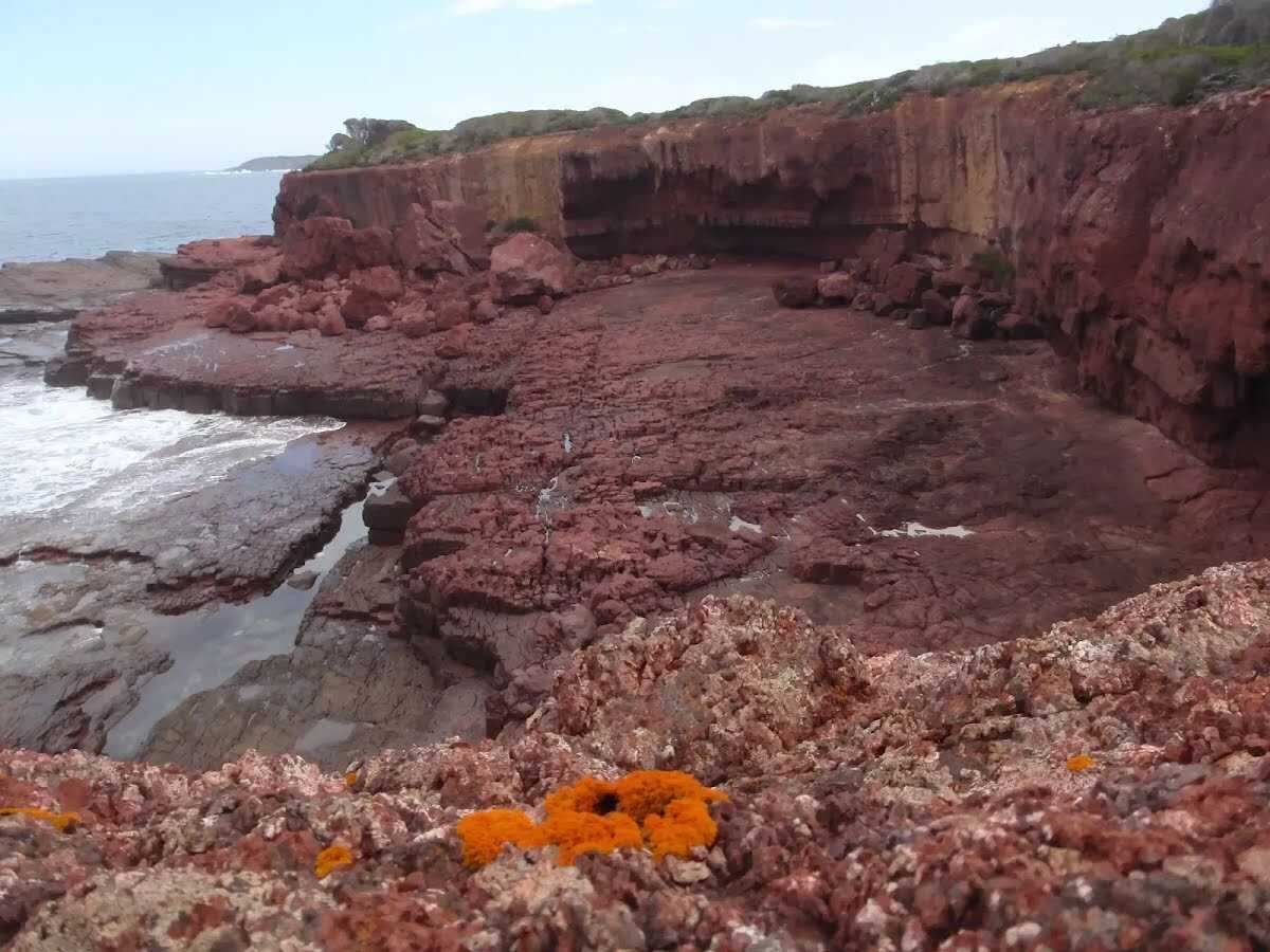
This walk is a great way to spend a morning or afternoon out from Saltwater Creek camping area. The walk passes the red cliffs that create a dramatic contrast against the intense blue of the sea and green of the heath. The walk also passes through a bay with a large red rock platform which is a great place for exploring the rock pools and shallows. Mowarry Point provides scenic views north up the coast. Let us begin by acknowledging the Yuin people, Traditional Custodians of the land on which we travel today, and pay our respects to their Elders past and present. 
Show all
Day use parking area sign Saltwater Creek camping area. | Photo by admin, 2009.
Flowers hanging over track in Saltwater Creek camping area. | Photo by admin, 2009.
BBQ in Saltwater Creek camping area. | Photo by admin, 2009.
Saltwater Creek and dune. | Photo by admin, 2009.
Saltwater Creek Beach. | Photo by admin, 2009.
Signpost northern end of Saltwater Beach. | Photo by admin, 2009.
Track through the Melaleuca trees. | Photo by admin, 2009.
Saltwater Creek Beach. | Photo by admin, 2009.
Track shaded by trees north of Saltwater Creek. | Photo by admin, 2009.
Old farm fencing. | Photo by admin, 2009.
Track along the ridge. | Photo by admin, 2009.
Track marker bolted into tree. | Photo by admin, 2009.
Epacris Obtusifolia (Blunt-leaf Heath). | Photo by admin, 2009.
Track through thick heath. | Photo by admin, 2009.
Orange moss on red cliffs. | Photo by admin, 2009.
Arrow marker on red cliffs. | Photo by admin, 2009.
Waves crashing onto red cliffs. | Photo by admin, 2009.
Waves crash into the inlet. | Photo by admin, 2009.
Bush Cockroach. | Photo by admin, 2009.
Approaching storm above the heath. | Photo by admin, 2009.
Track marker bolted for easy navigation. | Photo by admin, 2009.
Track winding through the heath. | Photo by admin, 2009.
Waves crashing into red platform bay. | Photo by admin, 2009.
Arrow rock in red platform bay. | Photo by admin, 2009.
Many fallen branched in the Melaleuca. | Photo by admin, 2009.
Lone tree marks the lookout intersection. | Photo by admin, 2009.
View from Mowarry Point Lookout. | Photo by admin, 2009.
Map Notes Terrain Reviews Conditions More
Downloads GPX PDF

Some of the information and maps on this page was generated using data from the awesome © OpenStreetMap contributors.
Please see how you can embed some widgets, access data and other stuff to that might be helpful.