


| Start | From the Bradleys Head Road (near the Gibbon attraction) (-33.8457205,151.2397244) |
| Mode | Bus Car (There is free parking available.) Ferry |
| Directions | From Military Road, A8
|
| Finish | (-33.8002434,151.2468681) |
| Mode (end) | Car Shuttle Bus Car (There is free parking available.) |
| Turn map | Directions & comments |
|---|---|
 |
|
 |
After another 100 m (from the Bradleys Head Road) turn right, to head along Bradleys Head Road (a road).
|
 |
|
 |
The starting point of an alternate route. A shorter alternate route linking Int. Borogegal Walking Trail and Athol Hall Trk to Int. Borogegal Walking Trail. To take the alternate route turn sharp left here. Details below.
|
 |
|
 |
After another 40 m (from the Bradleys Head Road) turn right, to head along Bradleys Head Road (a highway|tertiary).
|
 |
|
 |
|
 |
The starting point of an optional sidetrip. An optional side trip to Chowder Head. To start this optional side trip turn right here. On returning from this side trip continue straight when you get back to this intersection. Details below.
|
 |
|
 |
|
 |
|
 |
|
 |
|
 |
|
 |
|
 |
|
 |
|
 |
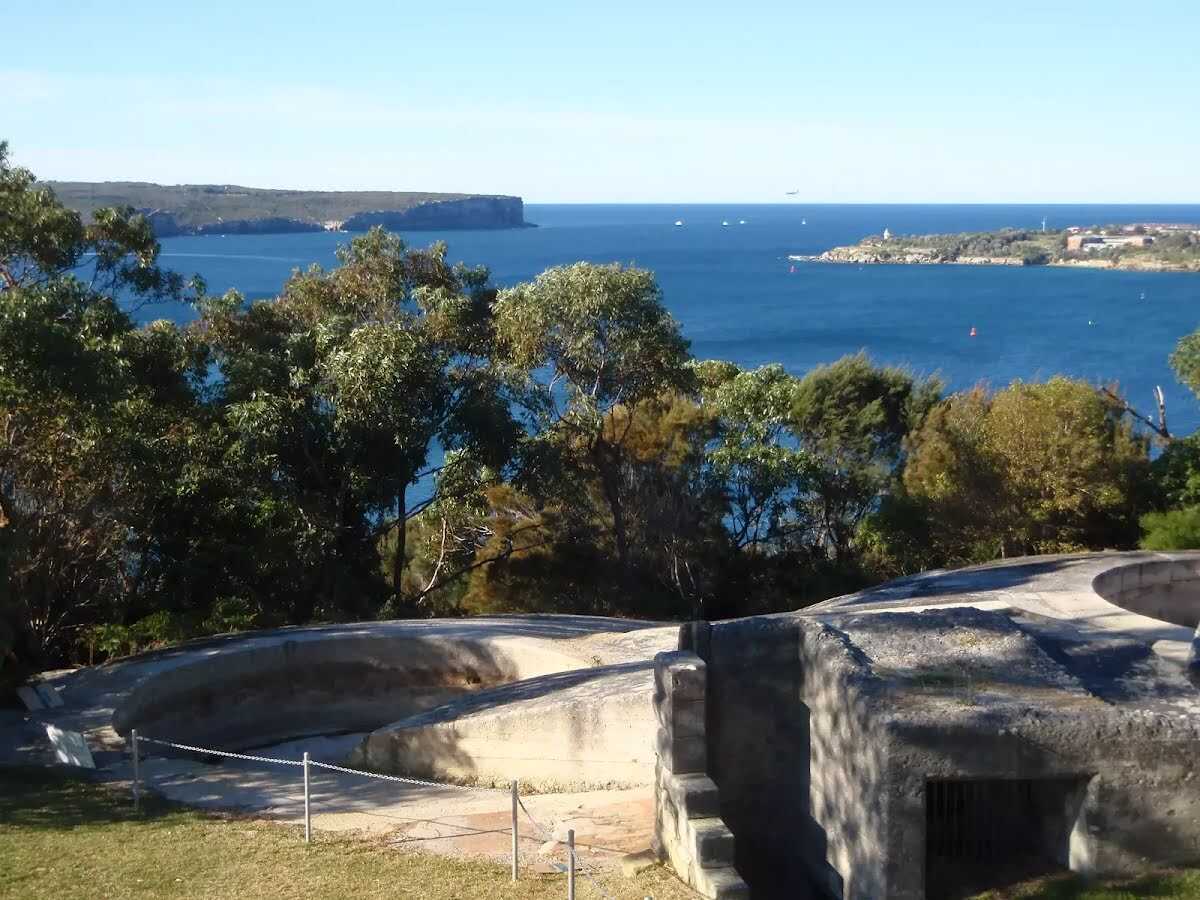
The starting point of an optional sidetrip. An optional side trip taking you to the Georges Heights Gun Emplacement. To start this optional side trip continue straight here. On returning from this side trip turn right when you get back to this intersection. Details below.
|
 |
|
 |
|
 |
|
 |
This toilet is wheelchair accessible. sunrise-sunset T:+61 2 9974 5440
Mo-Su 07:00-16:00 |
 |
|
 |
|
 |
|
 |
The starting point of an optional sidetrip. An optional side trip to Rocky Point. To start this optional side trip veer right here. On returning from this side trip turn sharp right when you get back to this intersection. Details below.
This toilet is wheelchair accessible. sunrise-sunset |
 |
The starting point of an alternate route. An alternative route linking Int. Wyargine Reserve Trk and Balmoral Beach to Chinamans Beach Reserve South. To take the alternate route turn left here. Details below.
|
 |
The alternate route finishes here. Turn left to rejoin the main route at the 8.3 km waypoint. Details below.
|
 |
The starting point of an alternate route. An alternative route linking Int. Grecia Lane Trk and Chinamans Beach Reserve North to Int. Middle Harbour Yacht Club car park and Spit Rd. To take the alternate route turn left here. Details below.
|
 |
|
 |
This toilet is wheelchair accessible. sunrise-sunset
|
 |
|
 |
|
 |
|
 |
|
 |
| Turn map | Directions & comments |
|---|---|
 |
|
 |
| Turn map | Directions & comments |
|---|---|
 |
|
 |
After another 130 m (from the Stanton Road) veer right, to head along Stanton Road (a residential road).
|
 |
|
 |
| Turn map | Directions & comments |
|---|---|
 |
|
 |

|
|
Class 4/6 Hard track |
|---|---|
| Length | 10.4 km |
| Time | 3 h 45 min to 5 h |
| Quality of track | Rough track, where fallen trees and other obstacles are likely (4/6) |
| Gradient | Very steep (4/6) |
| Signage | Minimal directional signs (4/6) |
| Infrastructure | Limited facilities, not all cliffs are fenced (3/6) |
| Experience Required | Moderate level of bushwalking experience recommended (4/6) |
| Weather | Storms may impact on navigation and safety (3/6) |
| Item | From Start | Name & link to notes |
|---|---|---|
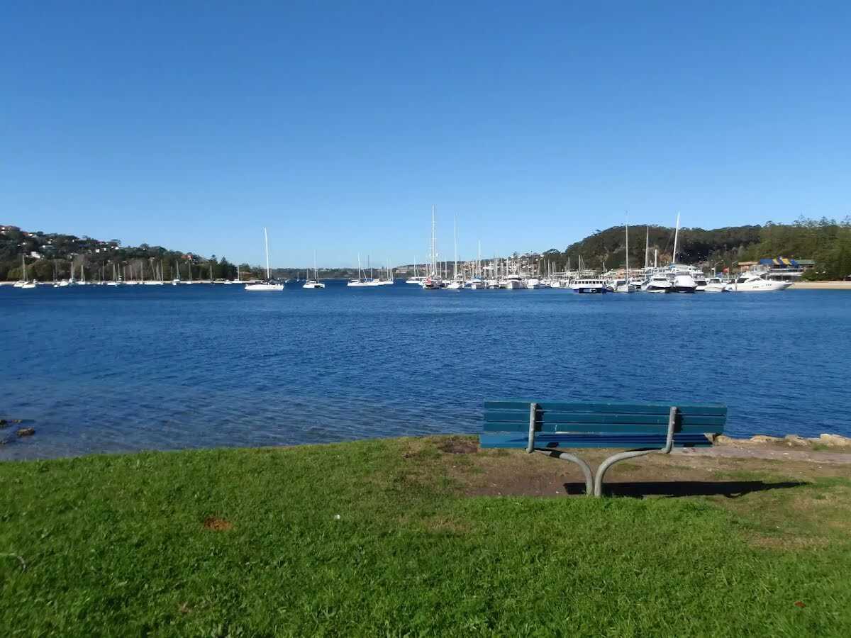
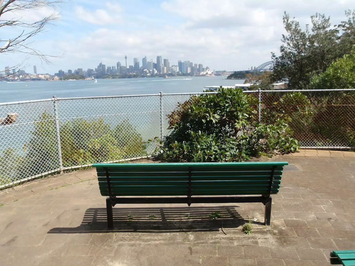
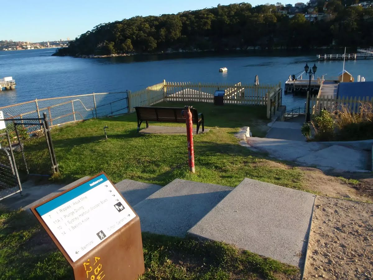
Seat
| 20 m | [seat] |
Seat
| 30 m | [seat] |
Seat
| 30 m | [seat] |
Seat
| 135 m | [seat] |
Toilet
| 260 m | [toilet] |
Toilet
| 620 m | [toilet] |
Toilet
| 1.3 km | [toilet] |
Toilet
| 4 km | [toilet] |
Toilet
| 4.4 km | [toilet] |
Toilet
| 6.3 km | [toilet] |
Toilet
| 6.4 km | [toilet] |
Toilet
| 6.8 km | Tramshed |
Toilet
| 7.1 km | Bathers Pavilion |
Toilet
| 9.7 km | [toilet] |