| Turn map |
Directions & comments |
|
|

From the Old Northern Road Start heading along Old Northern Road (a highway|primary).

There is a BBQ (about 75 m back from the start).

There is a shelter (about 75 m back from the start).

Wisemans Ferry Park (about 9 m back from the start).

Find the Convict Road Kiosk at the start.
Mo-Fr 10:00-15:00
Sa, Su 11:00-17:00

Find the toilet at the start.

Find the car park at the start.

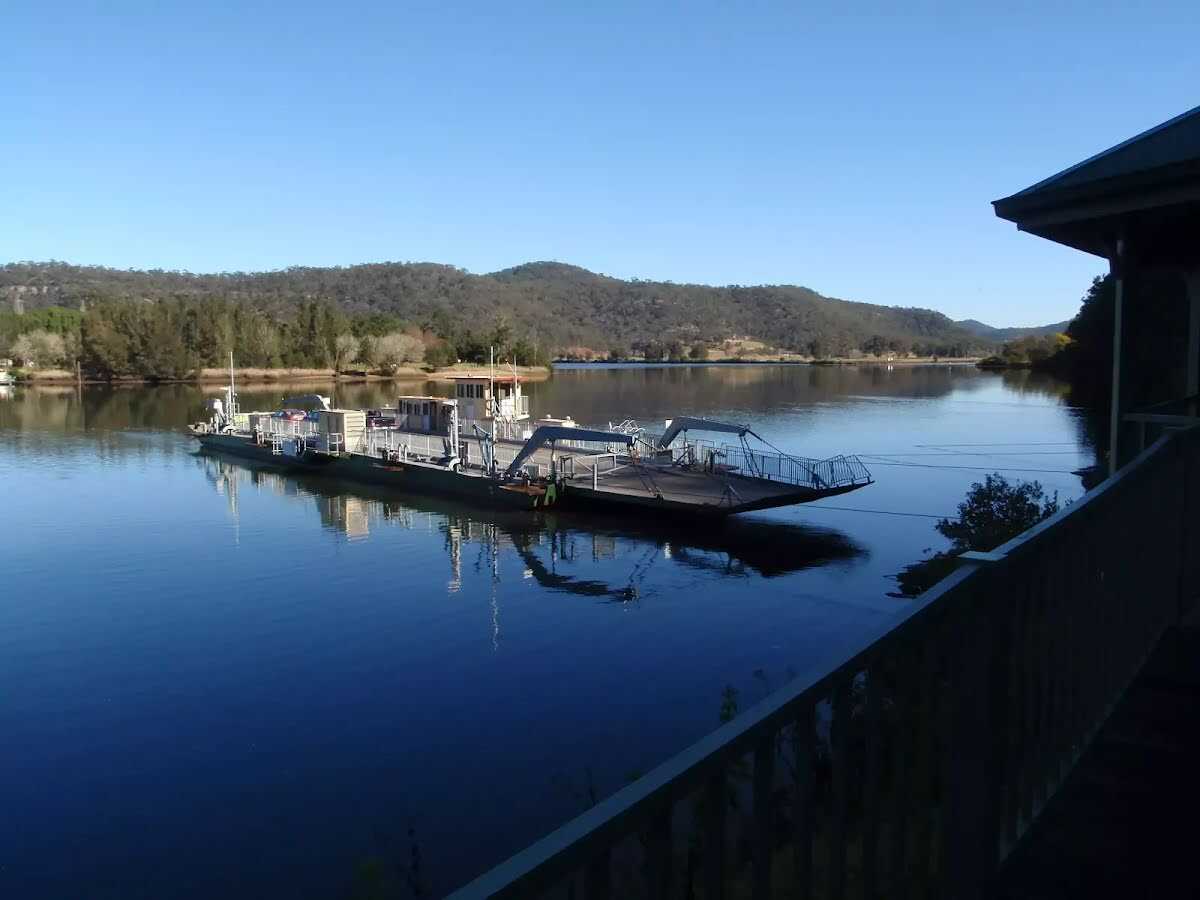
After another 300 m find the "Wisemans Ferry" (on your right).
Then pass the toilet (25 m on your right).
|
|
|

At the intersection of Wisemans Ferry Road & Old Northern Road turn left, to head along Wisemans Ferry Road.

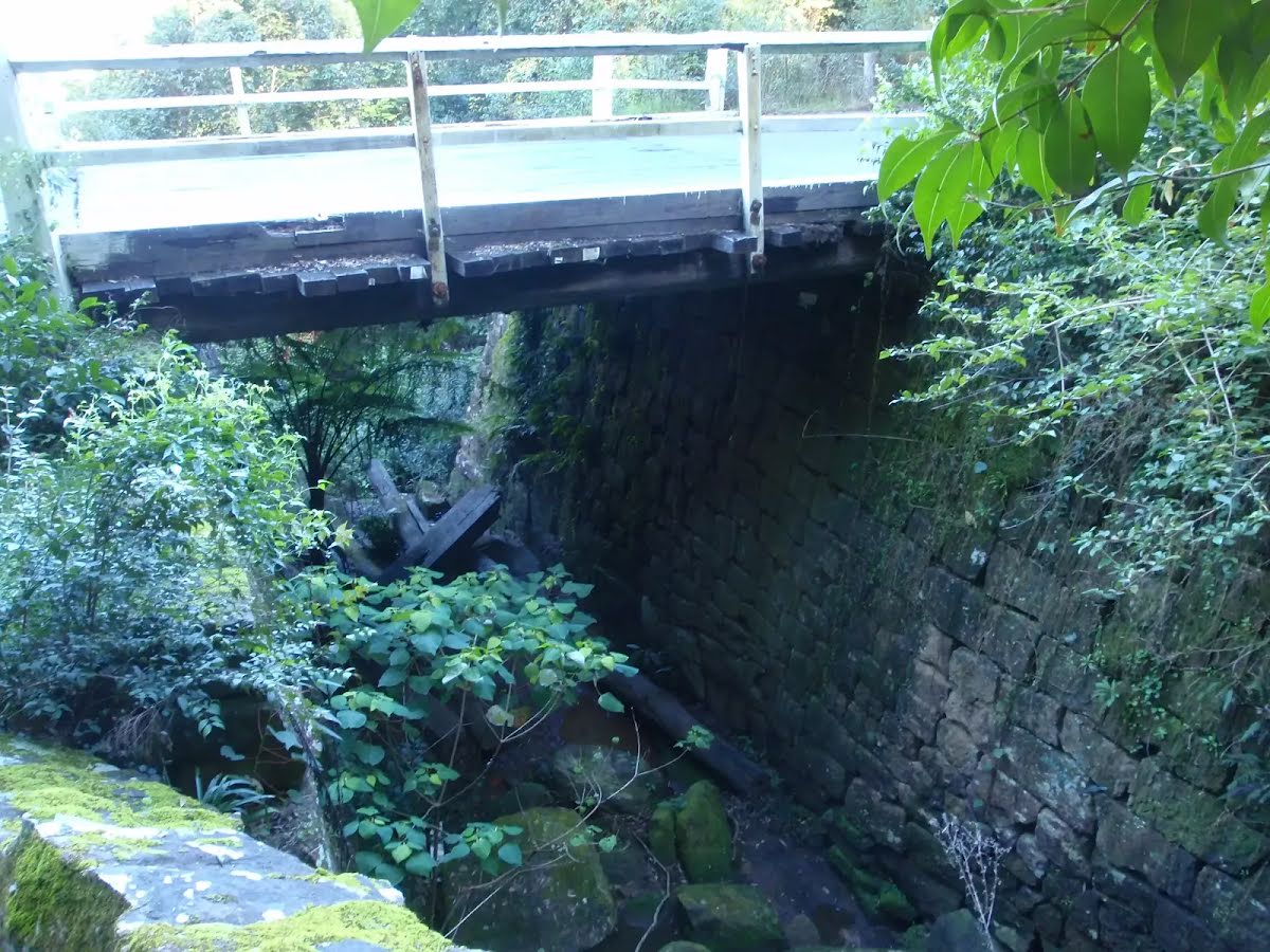
After another 560 m find the "Thomas James Bridge" (on your left).
|
|
|

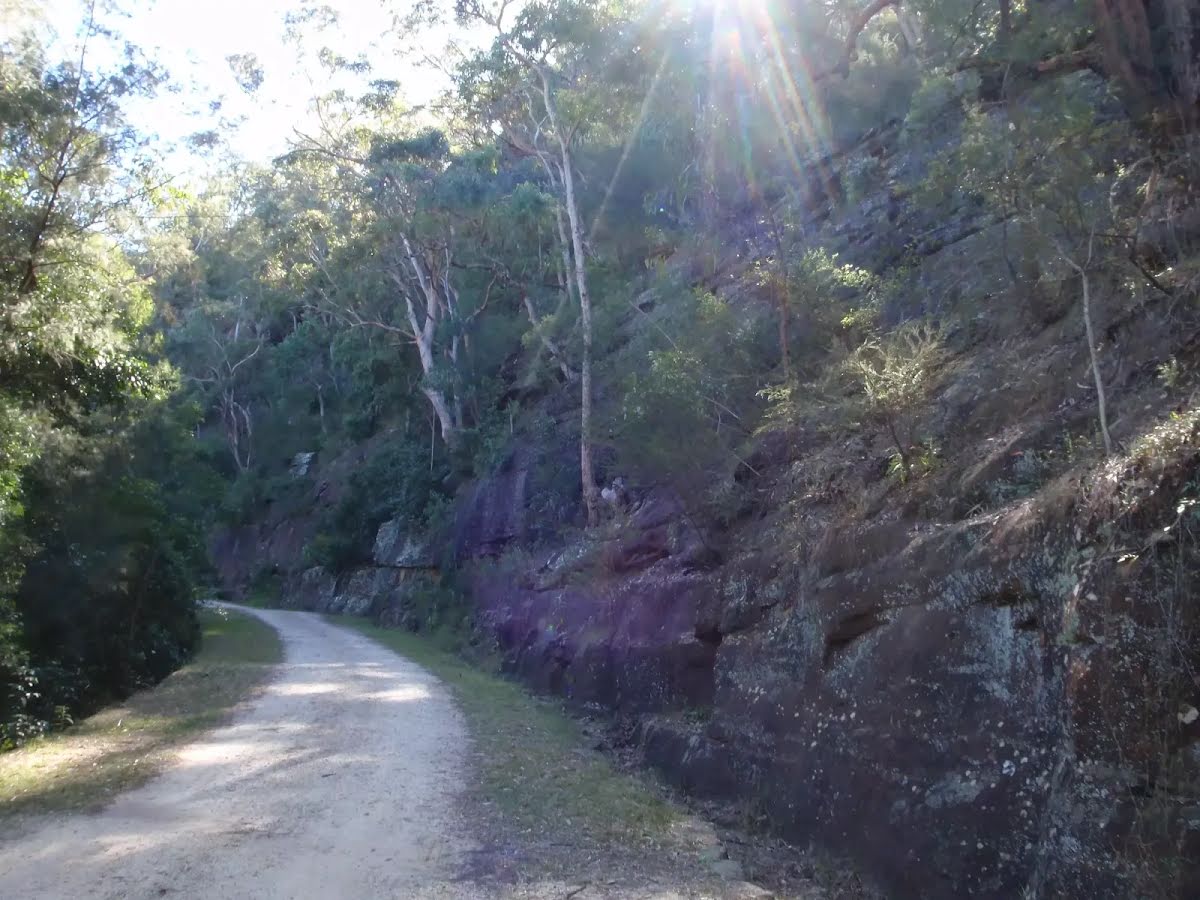
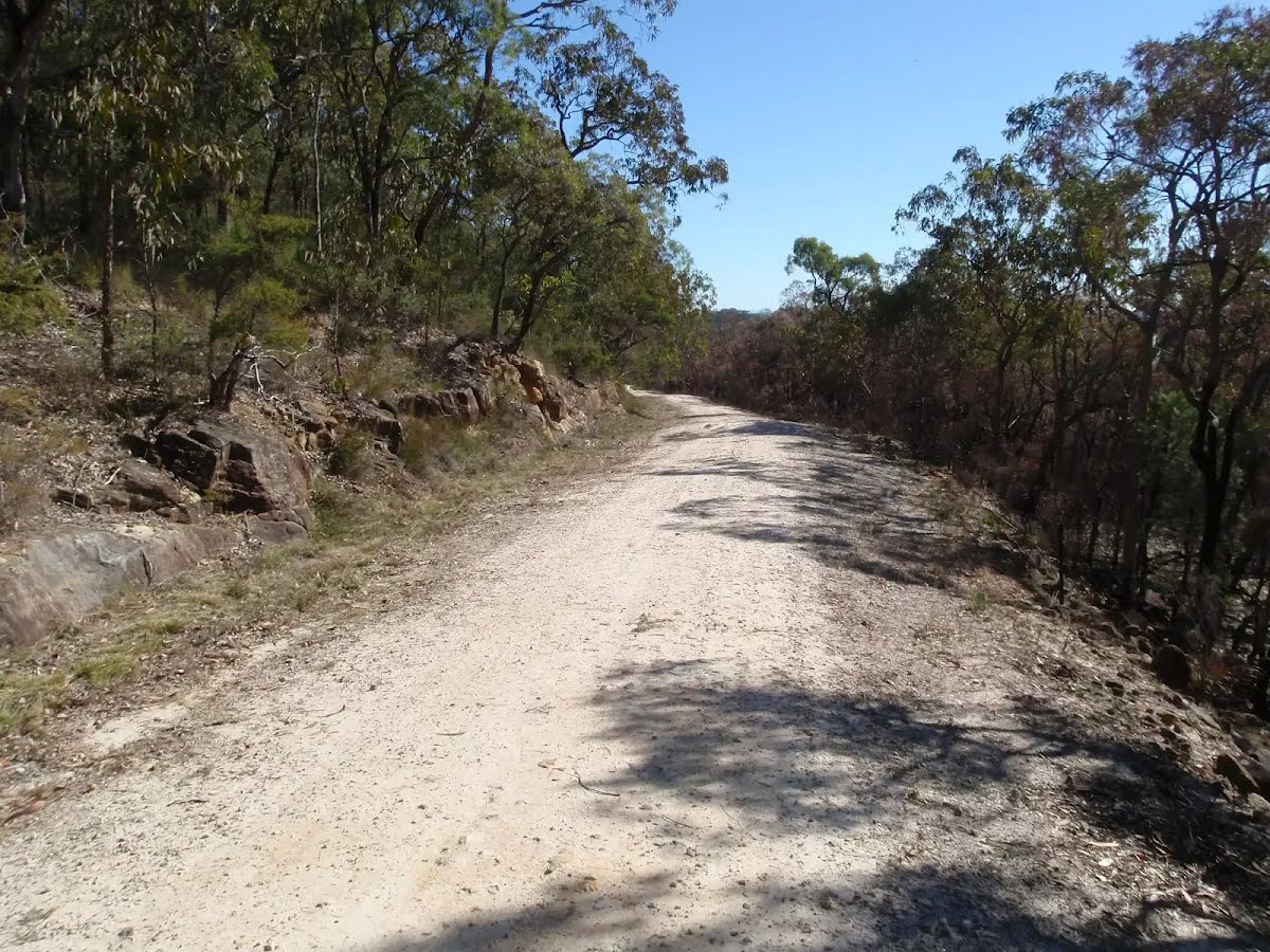
After another 90 m (at the intersection of Old Great North Road & Settlers Road) veer right, to head along Old Great North Road (a vehicle track).

After another 20 m head through/around the gate.
Then find the "Old Great North Road" (on your left).
|
|
|
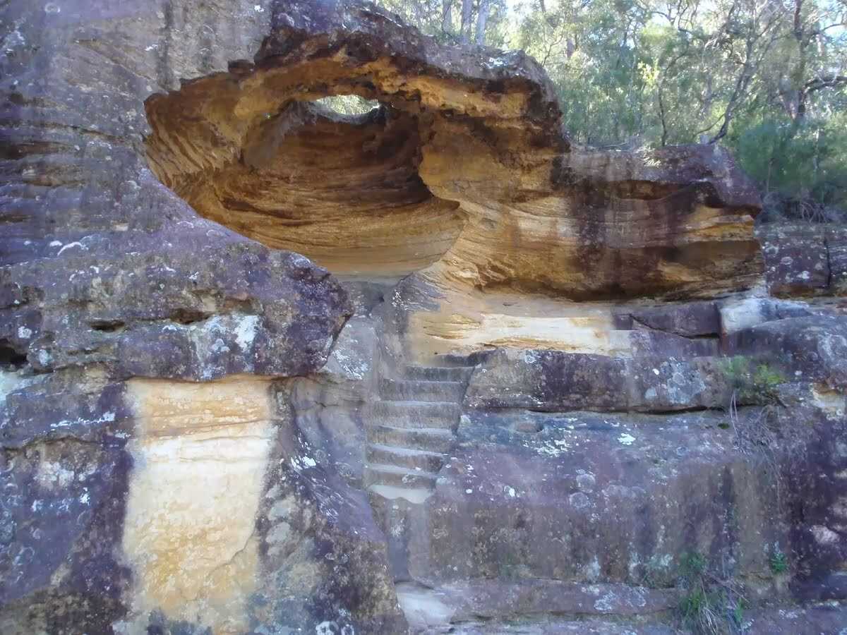
After another 1.1 km find the "Hangmans Rock" (on your right).
|
|
|

After another 345 m (from the Old Great North Road) continue straight, to head along Old Great North Road.
After another 360 m head through/around the gate.
|
|
|
At the intersection of Old Great North Road & Shepherds Gully Road veer right, to head along Old Great North Road.
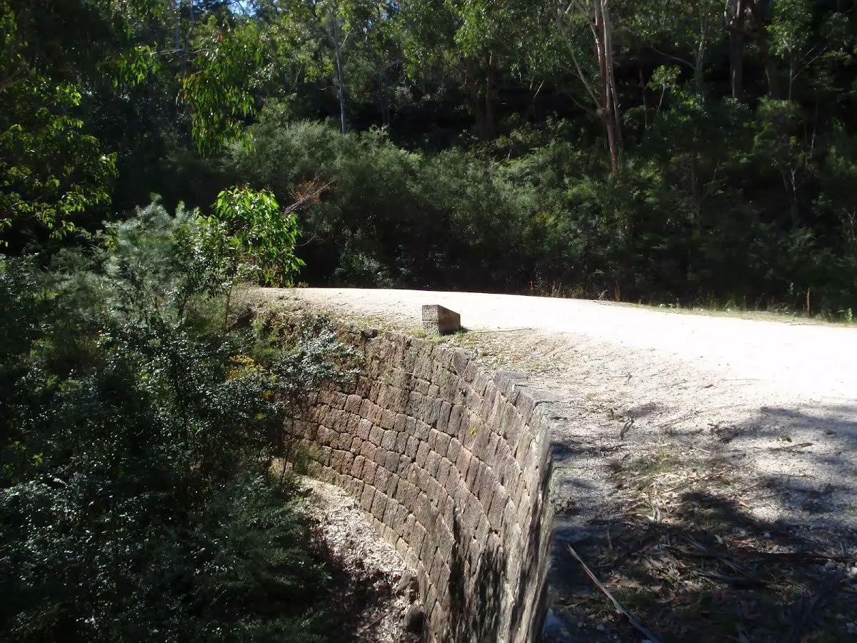
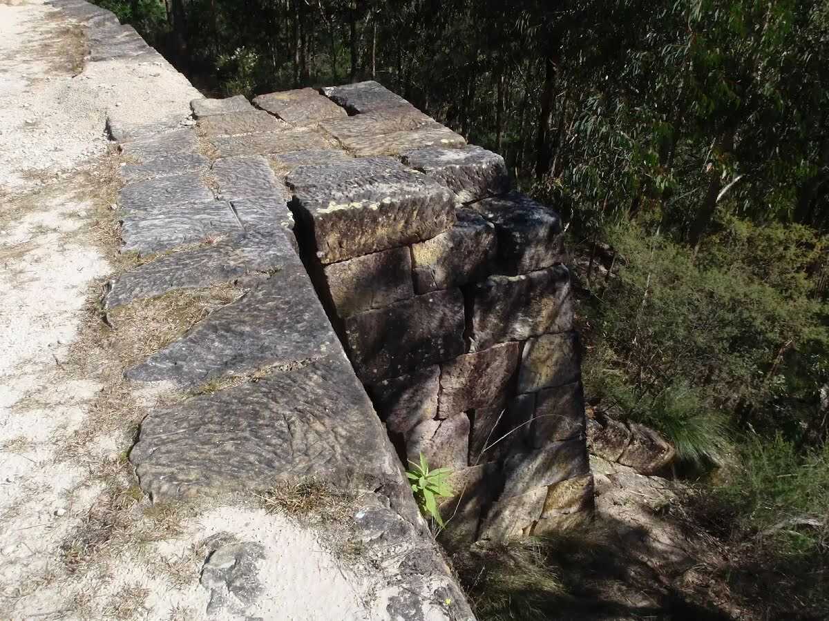
After another 90 m find the "Devines Hill" (on your left).
|
|
|
After another 330 m (at the intersection of Old Great North Road & Finchs Line) continue straight, to head along Old Great North Road.
|
|
|
After another 9.5 km (at the intersection of Old Great North Road & Western Commission Track) continue straight, to head along Old Great North Road.
|
|
|
After another 1.1 km (at the intersection of Old Great North Road & Eight Mile Trail) veer right, to head along Old Great North Road.
|
|
|
After another 790 m (at the intersection of Old Great North Road & Wat Loop Trail) continue straight, to head along Old Great North Road.
|
|
|

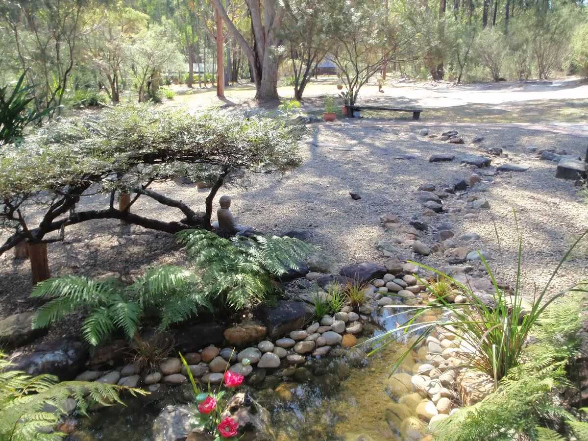
After another 1.4 km find the "Wat Buddha Dhamma" (15 m on your left).
|
|
|
After another 570 m (at the intersection of Simpsons Track & Old Great North Road) veer right, to head along Simpsons Track.
|
|
|

After another 60 m come to the "Ten Mile Hollow" (35 m on your right). This is a free campsite.
After another 10 m pass the toilet (35 m on your right).
|
|
|
After another 4.7 km (at the intersection of Simpsons Track & Ten Mile Hollow Road) veer right, to head along Simpsons Track.
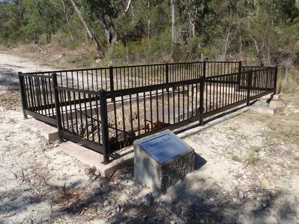
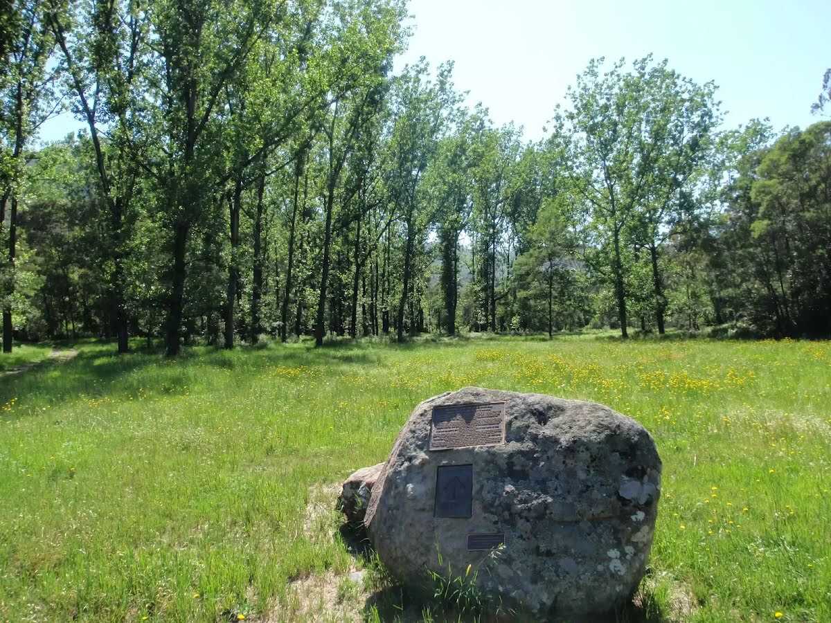
After another 15 m find the "Convict Trail plaque and log book" (5 m on your left).
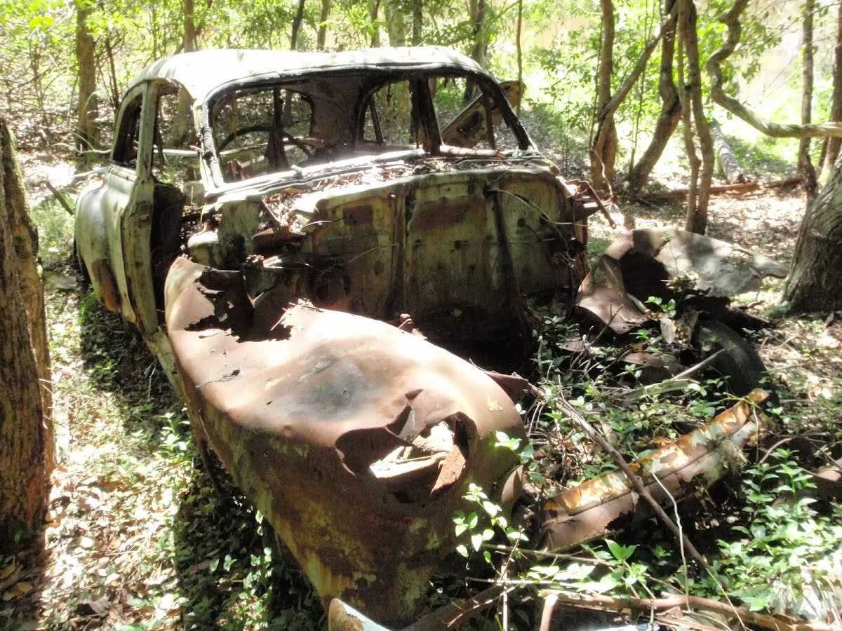
After another 1.7 km find the "Inn of the Damned" (10 m on your left).
|
|
|
After another 490 m (from the Simpsons Track) continue straight, to head along Simpsons Track.
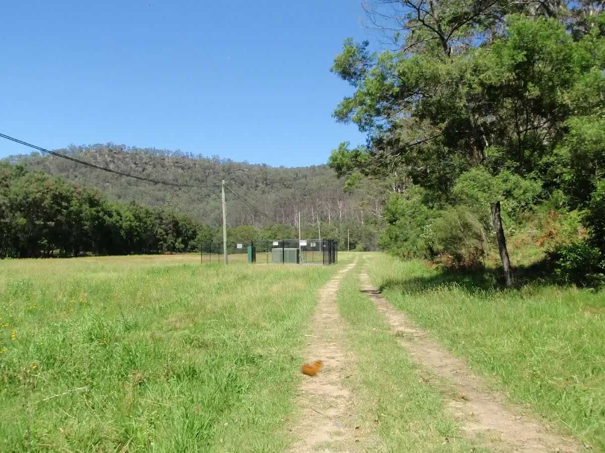
After another 15 m find the "Mangrove Creek bore field" (10 m on your left).
After another 4.3 km cross the bridge (about 20 m long)
|
|
|

Continue another -0 m to find from the Oyster Shell Road at the end.
|