Bittangabee Bay Imlay House Loop
Yuin Country

25 min to 40 min

1.1 km
circuit

↑ 26 m
↓ -26 m

Moderate track
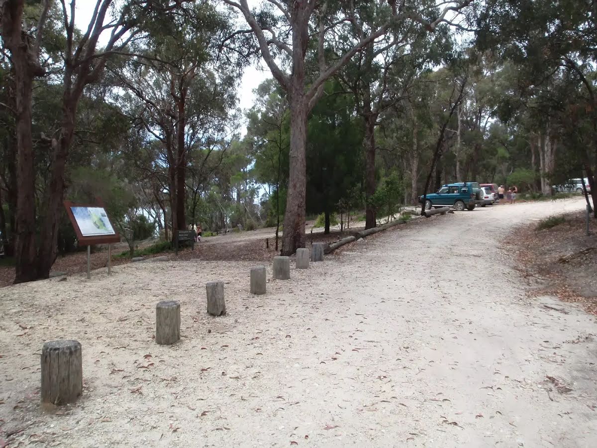
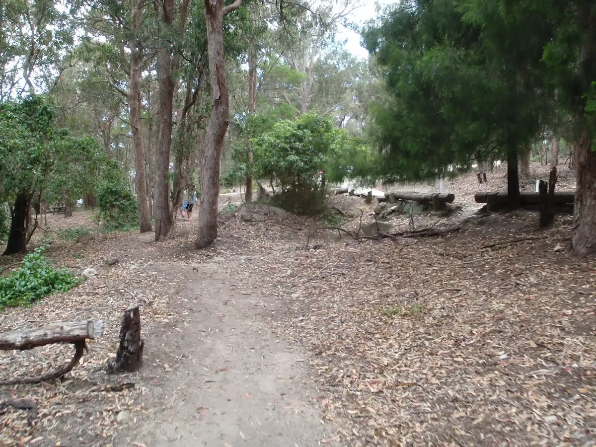
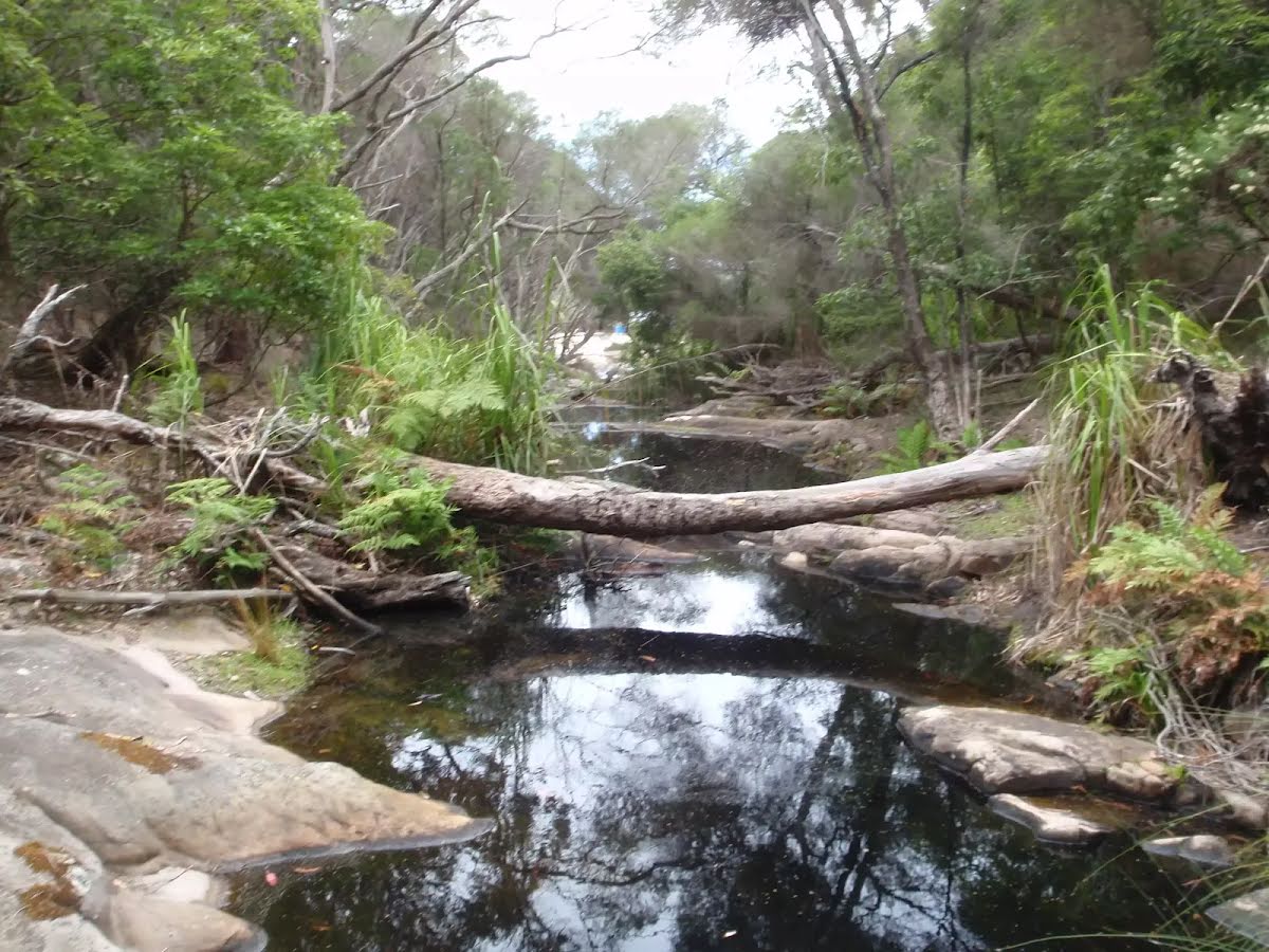
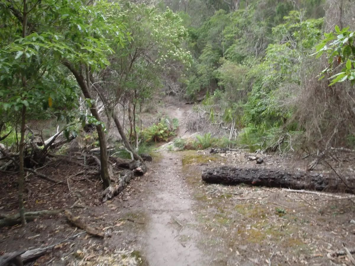
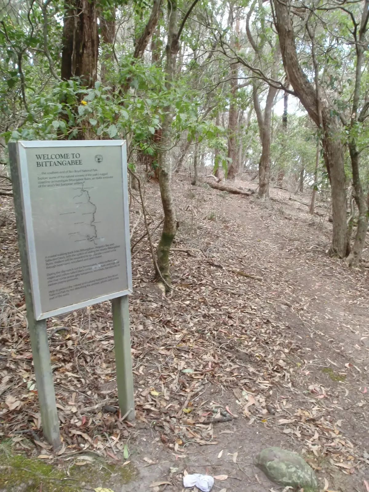
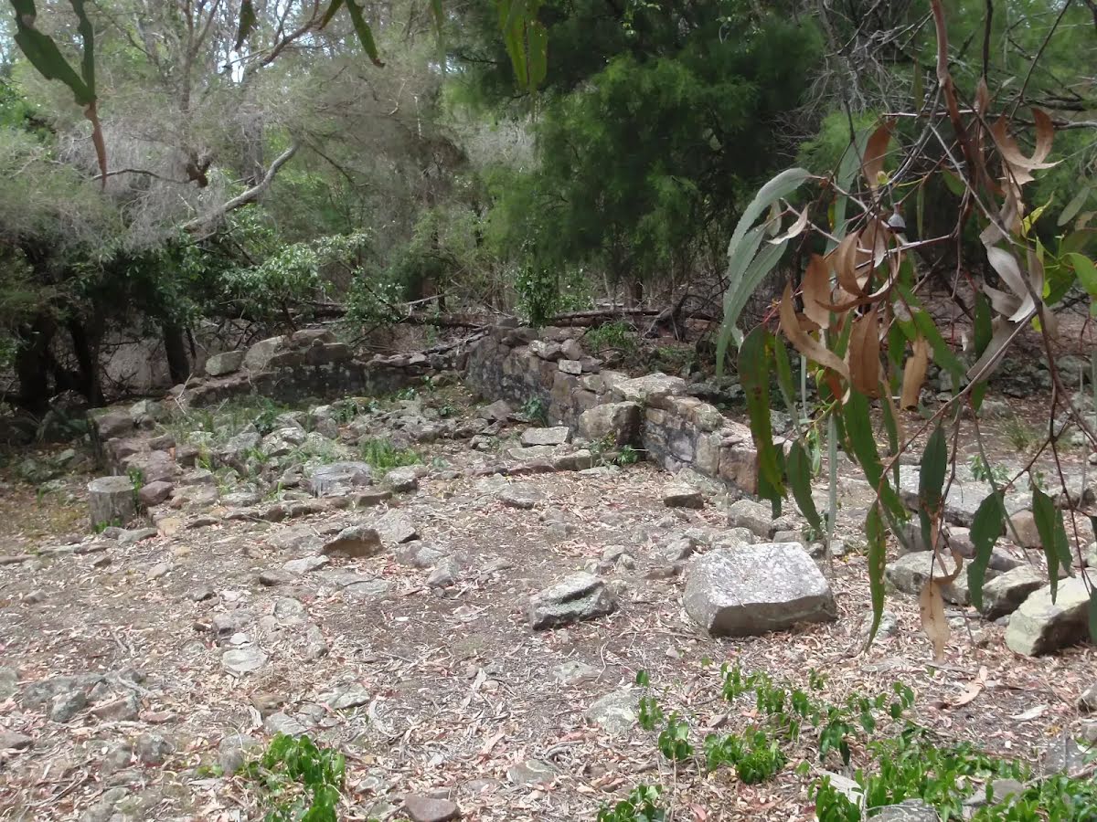
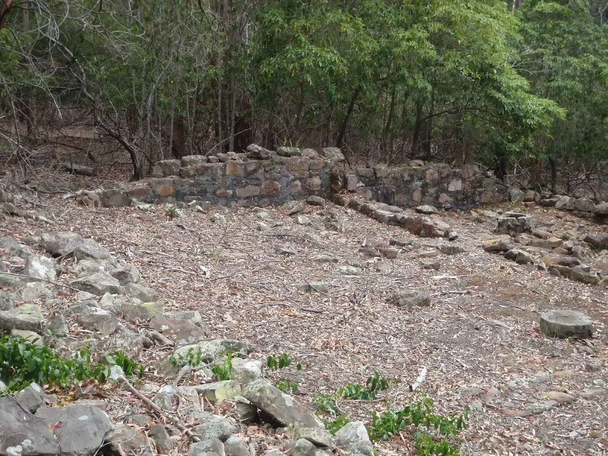
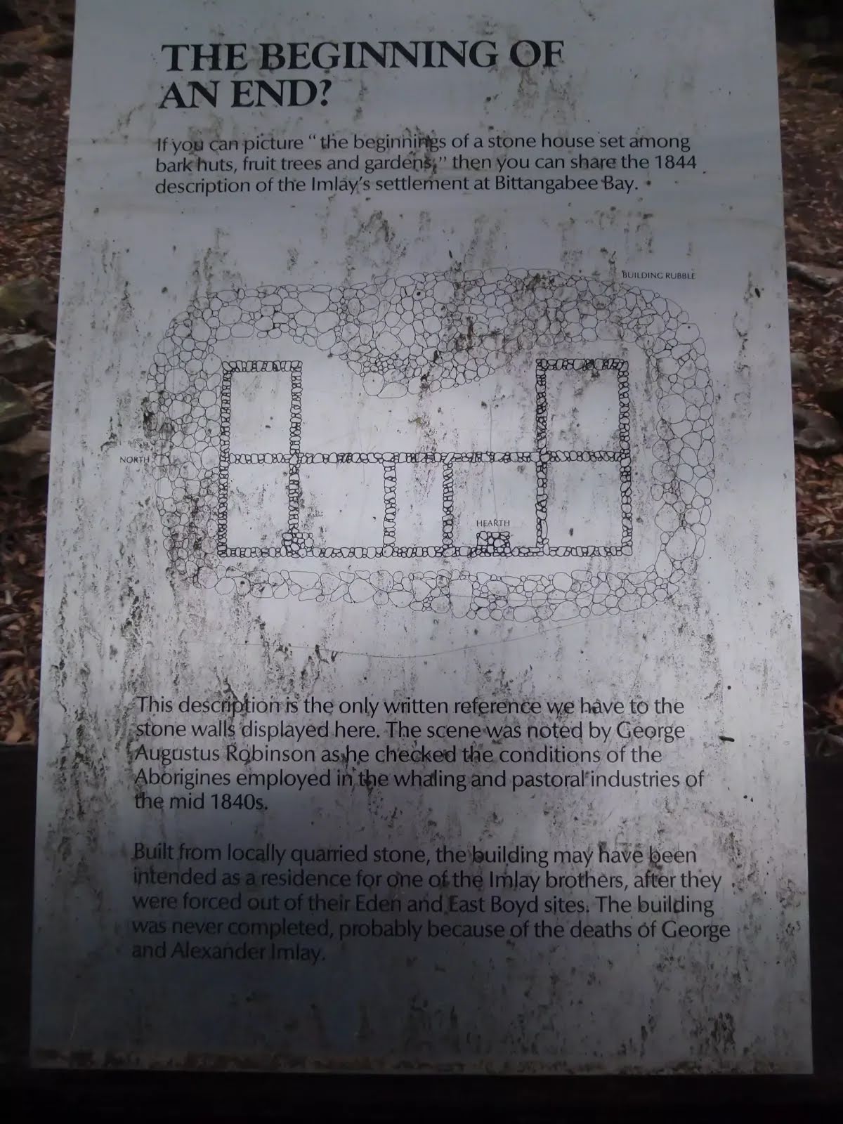
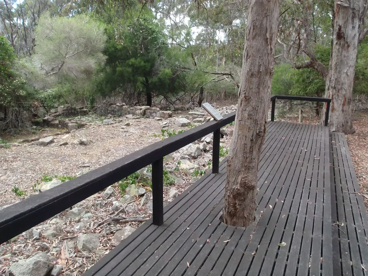
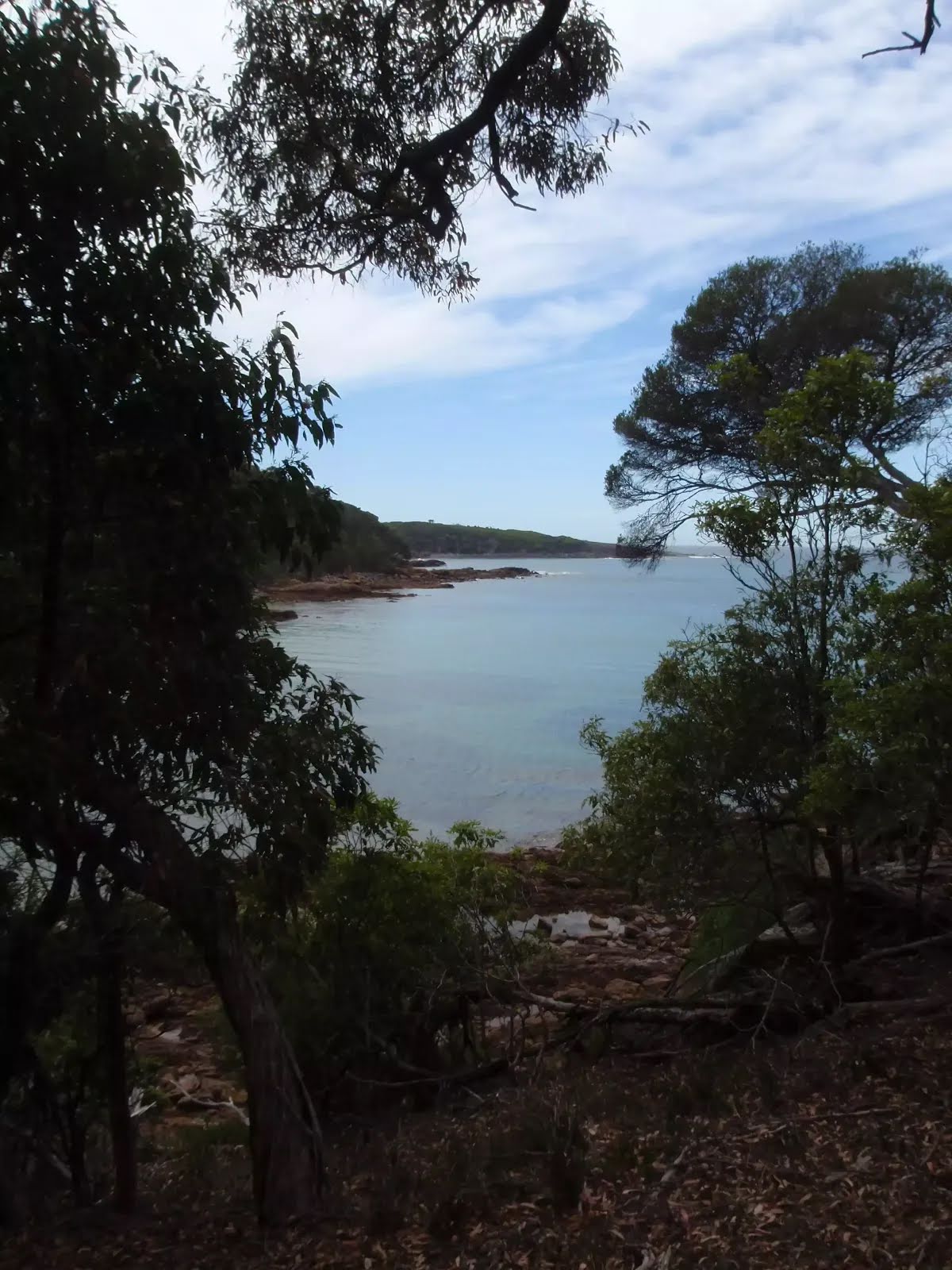
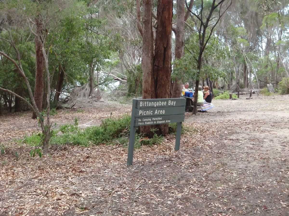
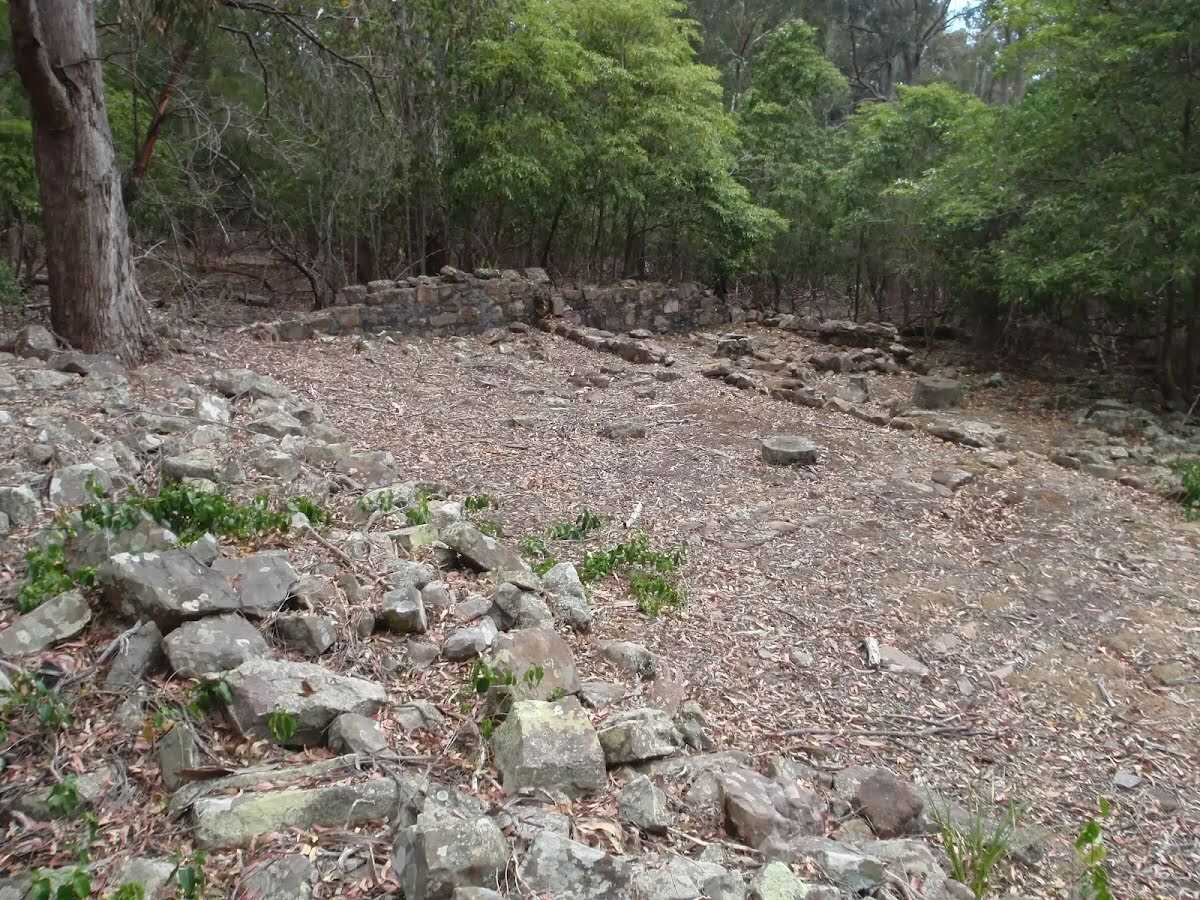
This walk takes a look at the historical ruins of the Imlay brothers house. The ruins reveal the outline of what would have been a great house, in a quiet and scenic bay. The walk returns by the coast with views through the trees of the turquoise waters. This is an interesting trip to help understand the work of local whalers and business men who lived in the region during the mid 1800's. Let us begin by acknowledging the Yuin people, Traditional Custodians of the land on which we travel today, and pay our respects to their Elders past and present. 
Show all
Bittangabee bay camping and day use area. | Photo by admin, 2009.
Track away from Bittangabee car park. | Photo by admin, 2009.
Creek flowing to beach at Bittangabee. | Photo by admin, 2009.
Track up to Bittangabee picnic area. | Photo by admin, 2009.
Sign before split for Imlays House ruins. | Photo by admin, 2009.
Imlay House ruins. | Photo by admin, 2009.
Imlay ruins. | Photo by admin, 2009.
Information at Imlay House ruins. | Photo by admin, 2009.
Platform above Imlay House ruins. | Photo by admin, 2009.
View through the bush to the northern Bittangabee Point. | Photo by admin, 2009.
Flowers over track. | Photo by admin, 2009.
Ferns beside the track. | Photo by admin, 2009.
Map Notes Terrain Reviews Conditions More
Downloads GPX PDF

Some of the information and maps on this page was generated using data from the awesome © OpenStreetMap contributors.
Please see how you can embed some widgets, access data and other stuff to that might be helpful.