


| Start | At the intersection of Rosemead Road & Lockinvar Place (-33.7007565,151.0864611) |
| Mode | Bus Car (There is free parking available.) |
| Directions | From Pacific Highway, B83, Hookhams Corner.
|
| Turn map | Directions & comments |
|---|---|
 |
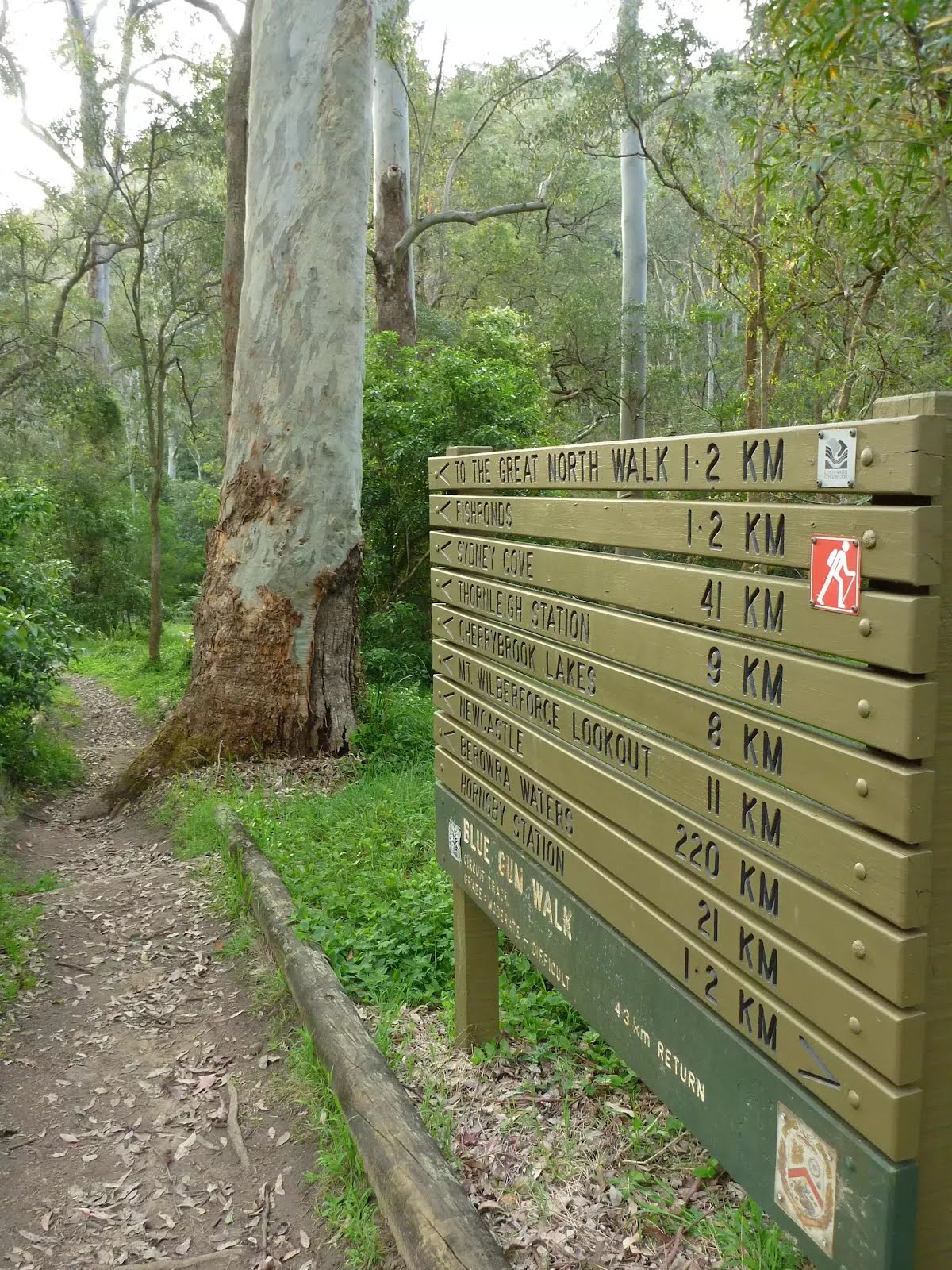
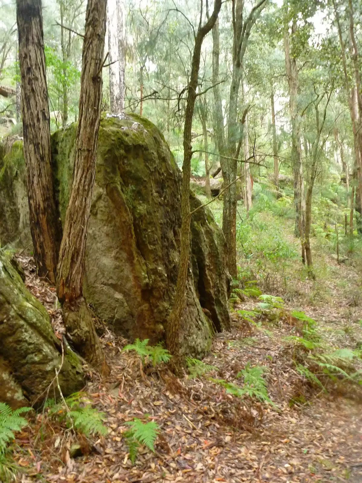
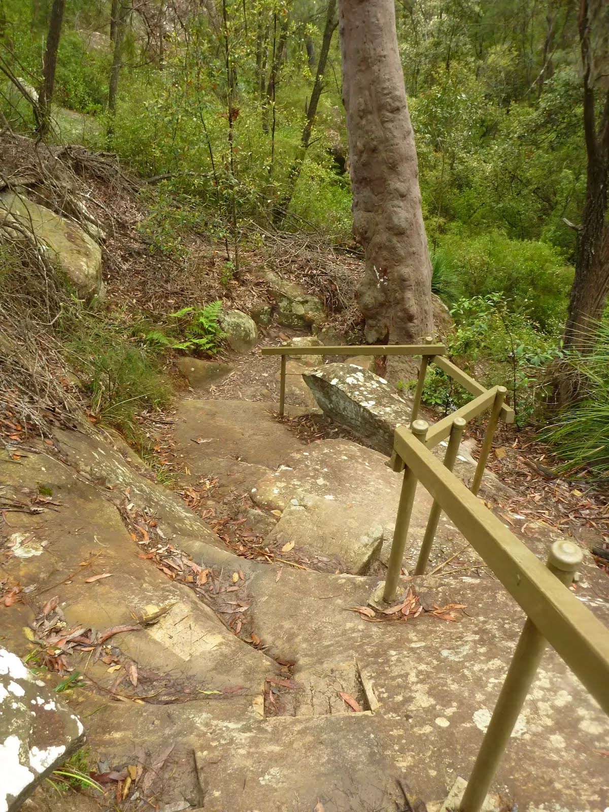
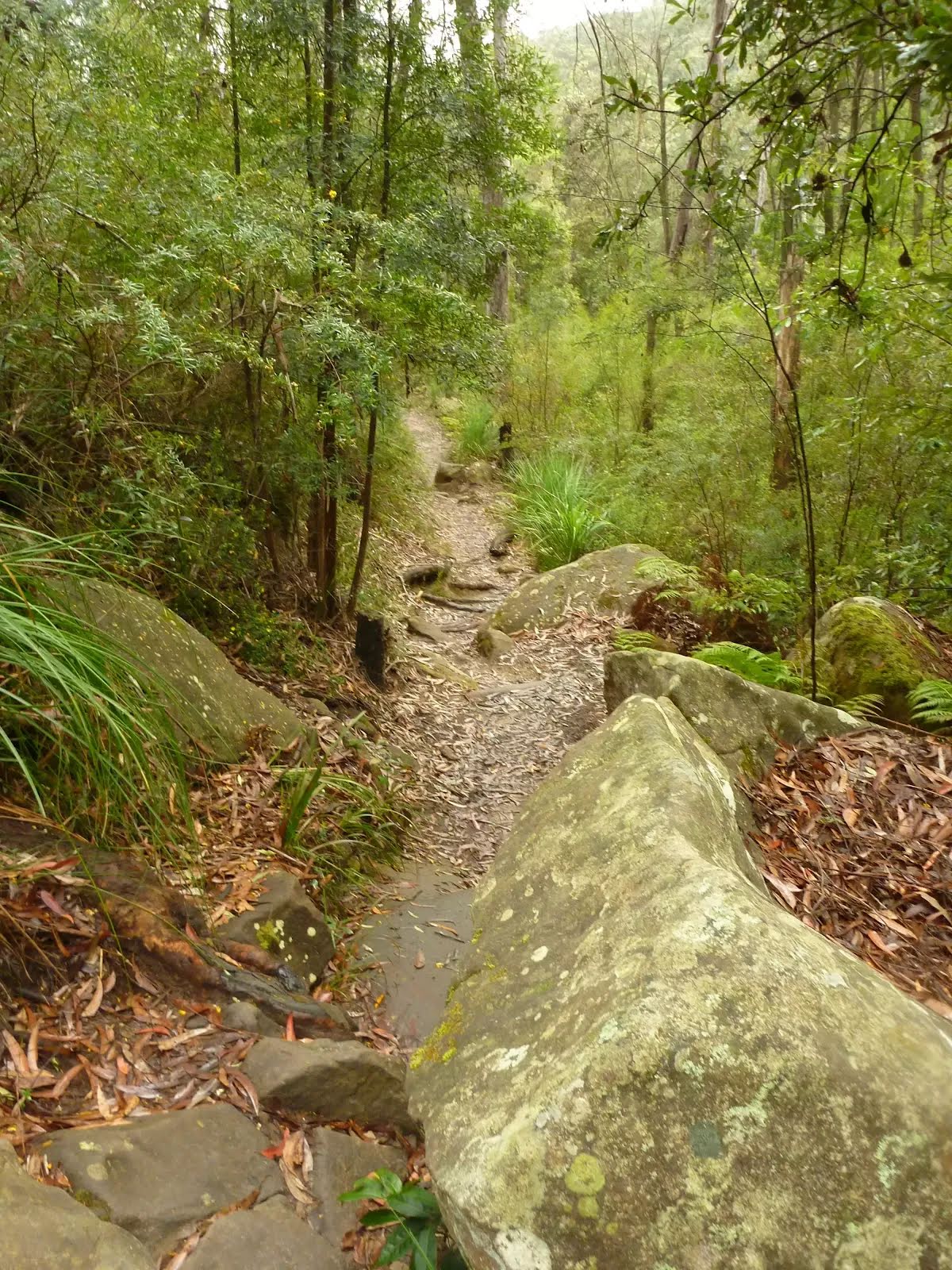
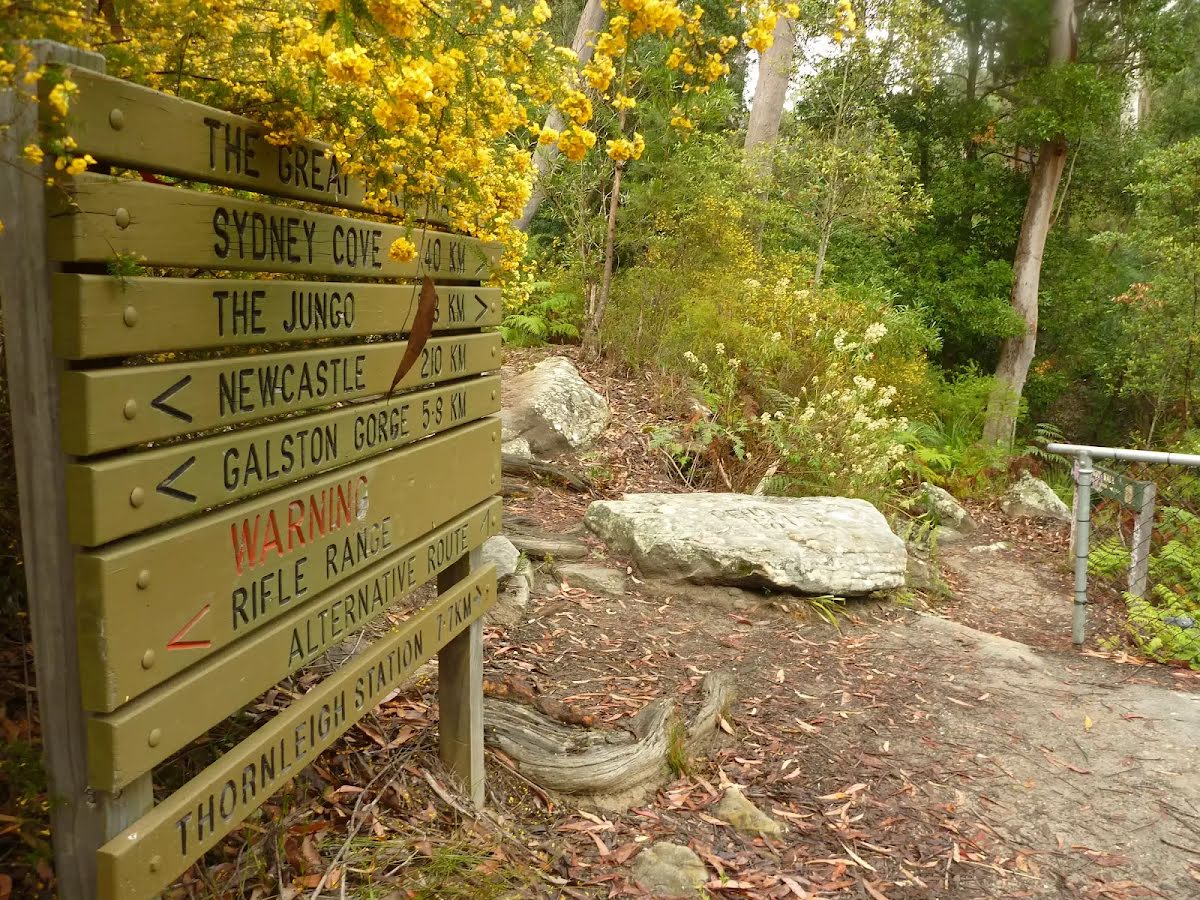
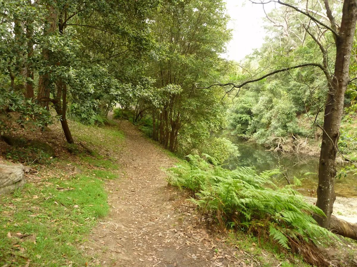
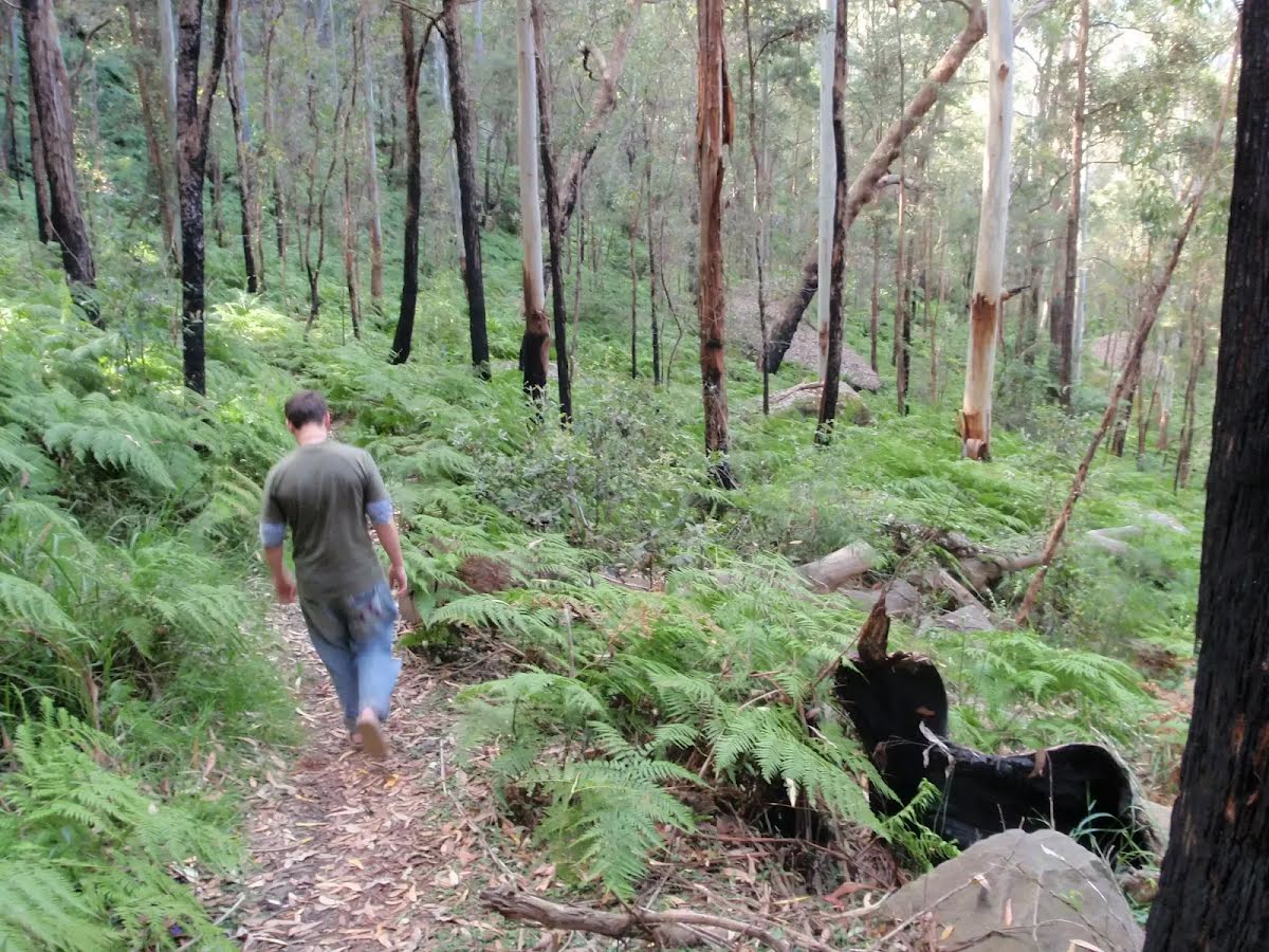
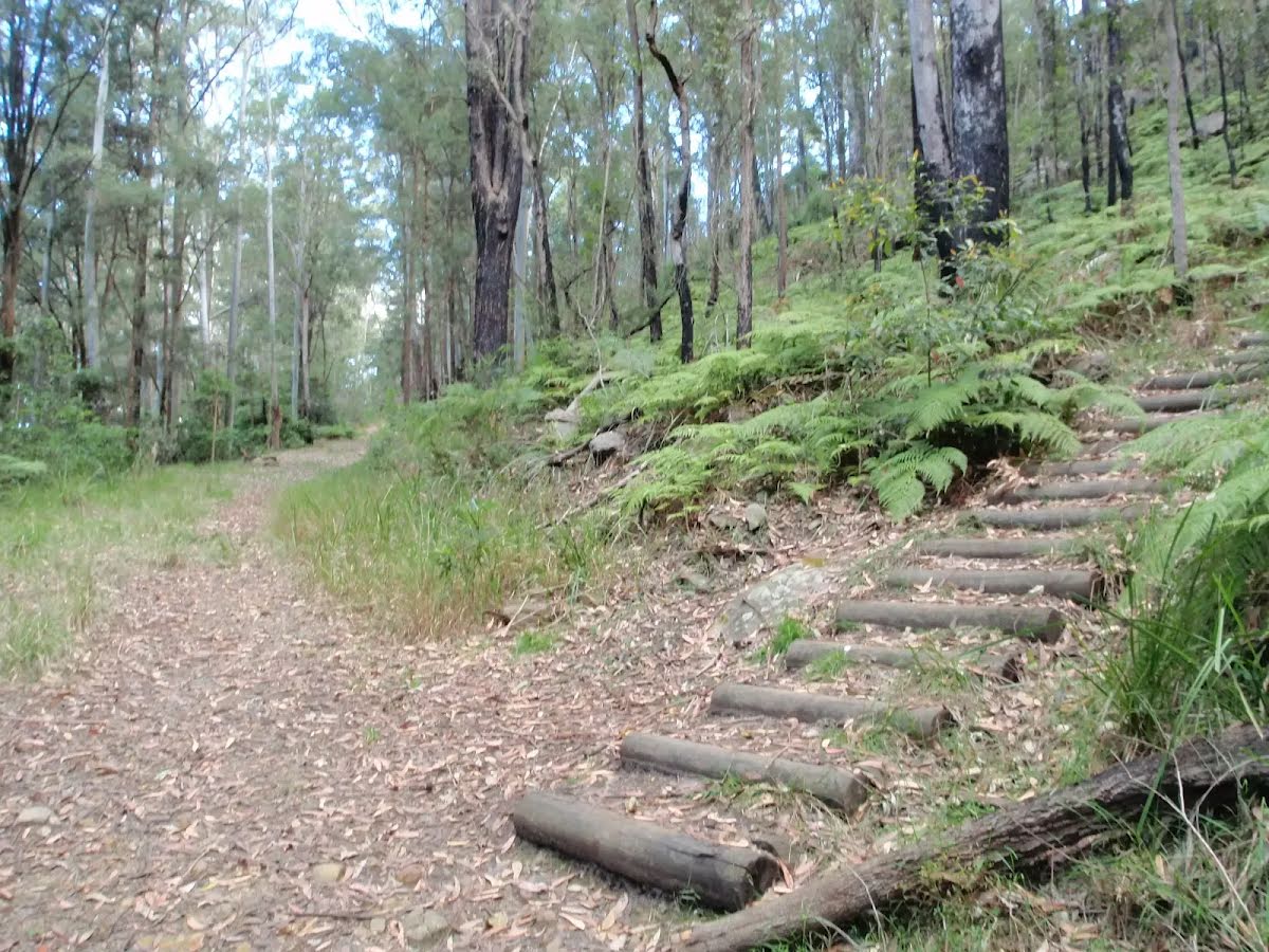
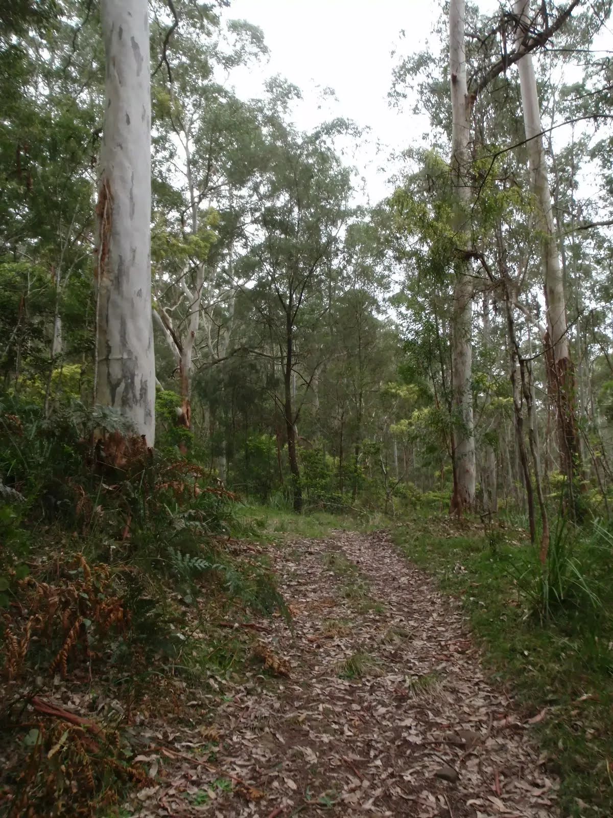
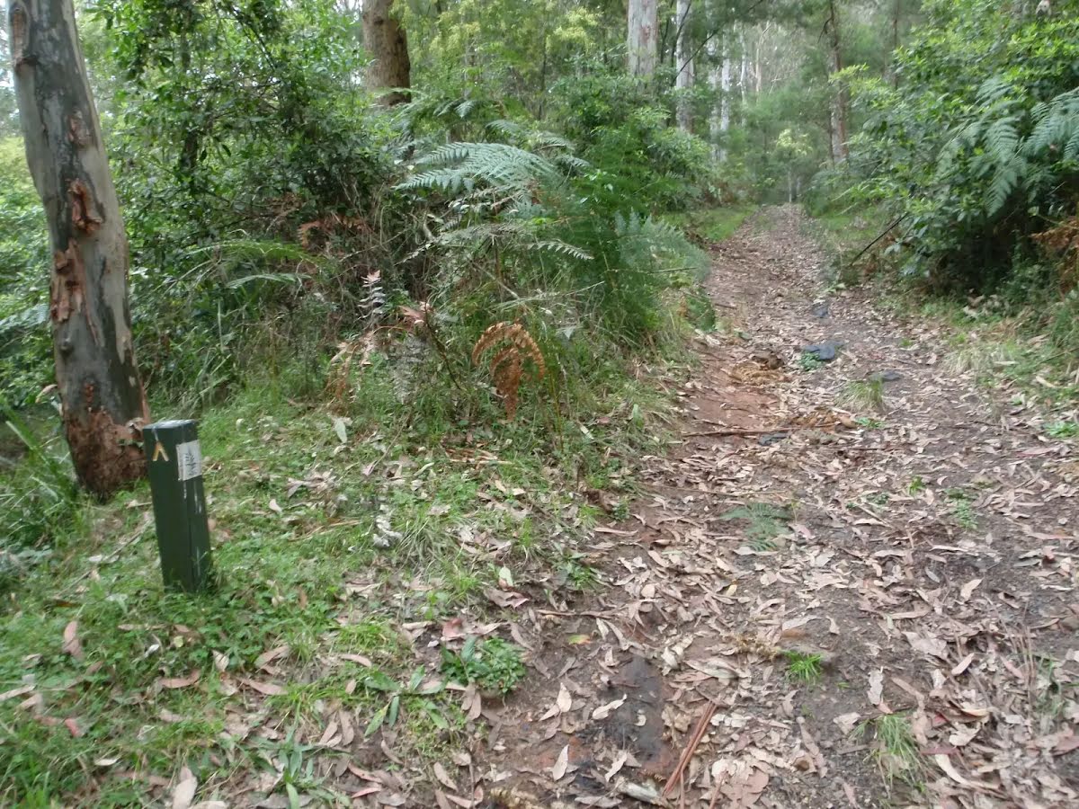
Rosemead Trail
|
 |
|
 |
|
 |
|
 |
|
 |
|
 |
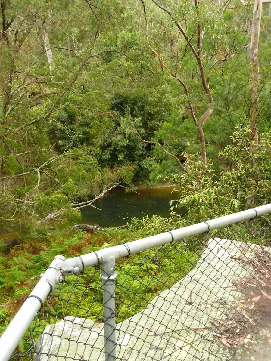
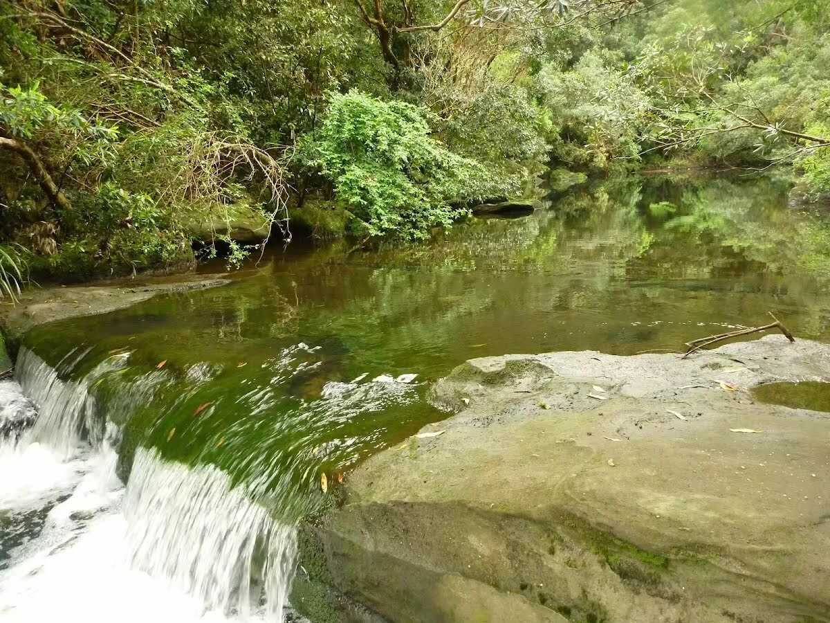
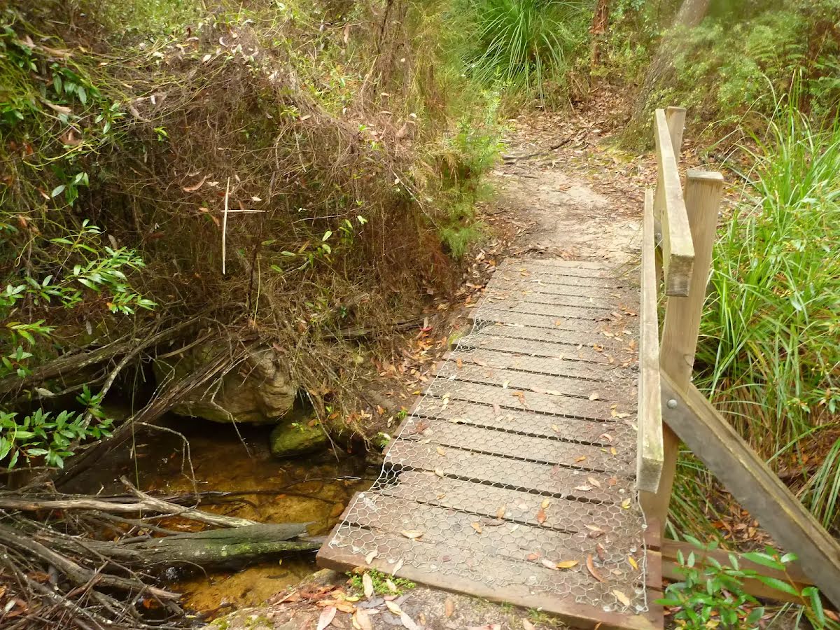
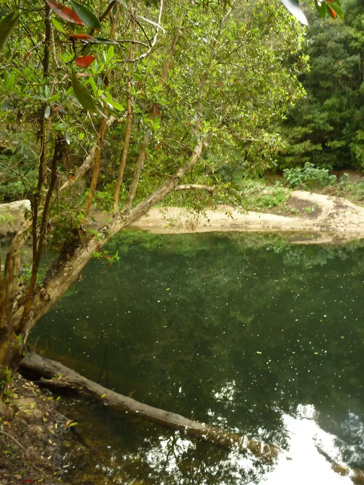
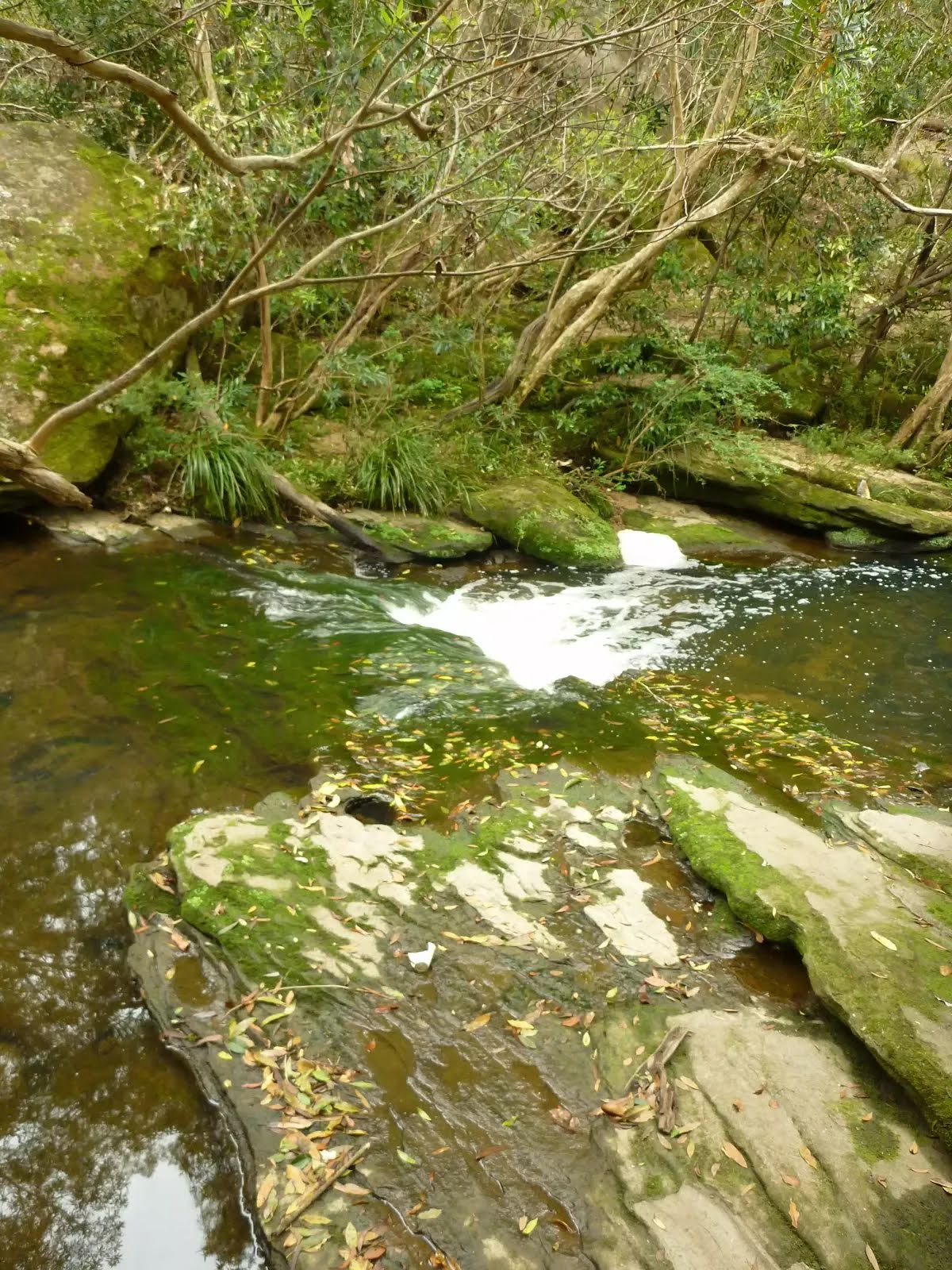
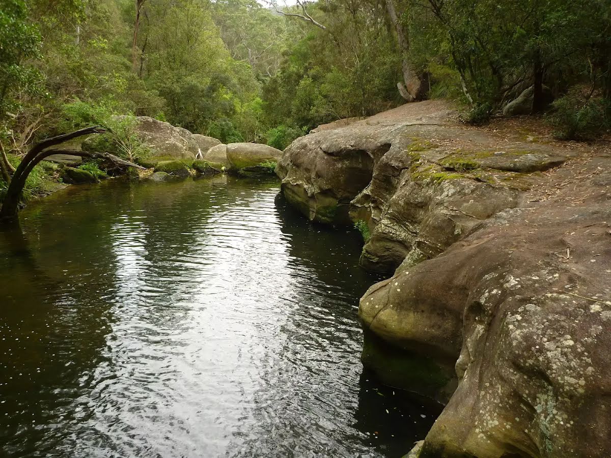
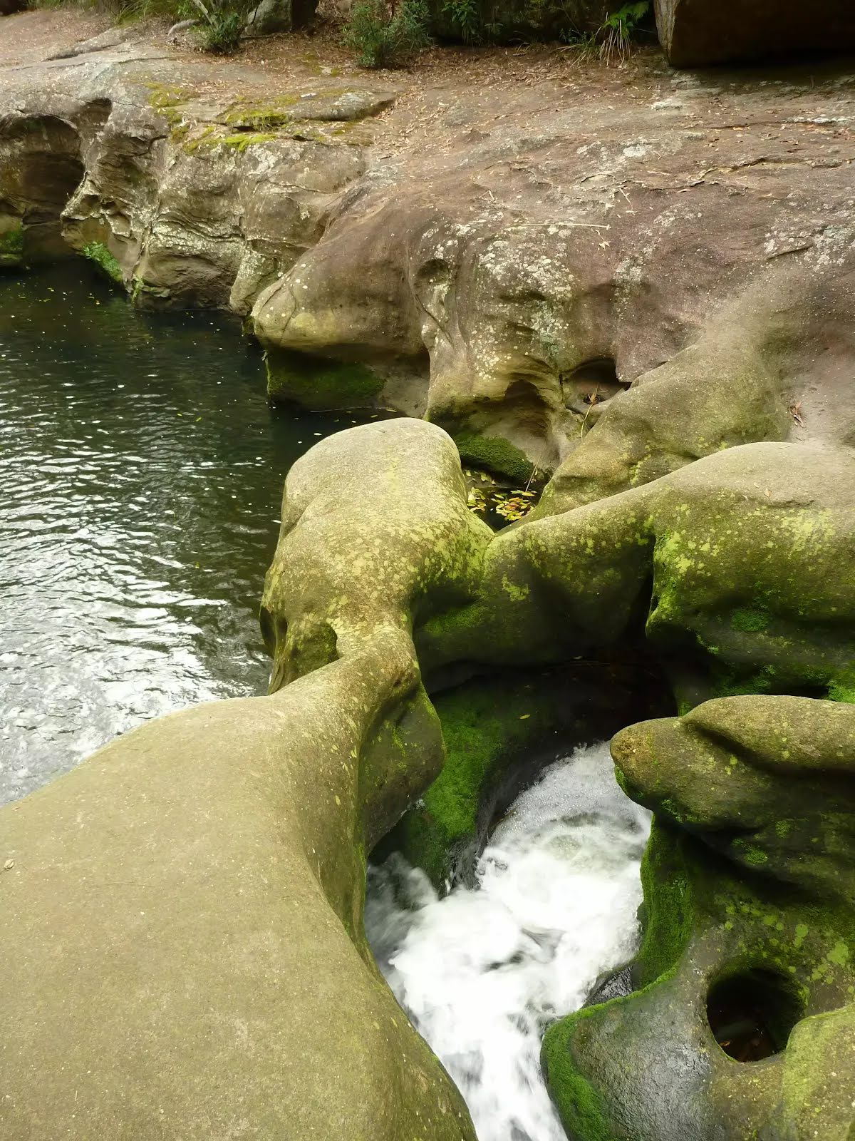
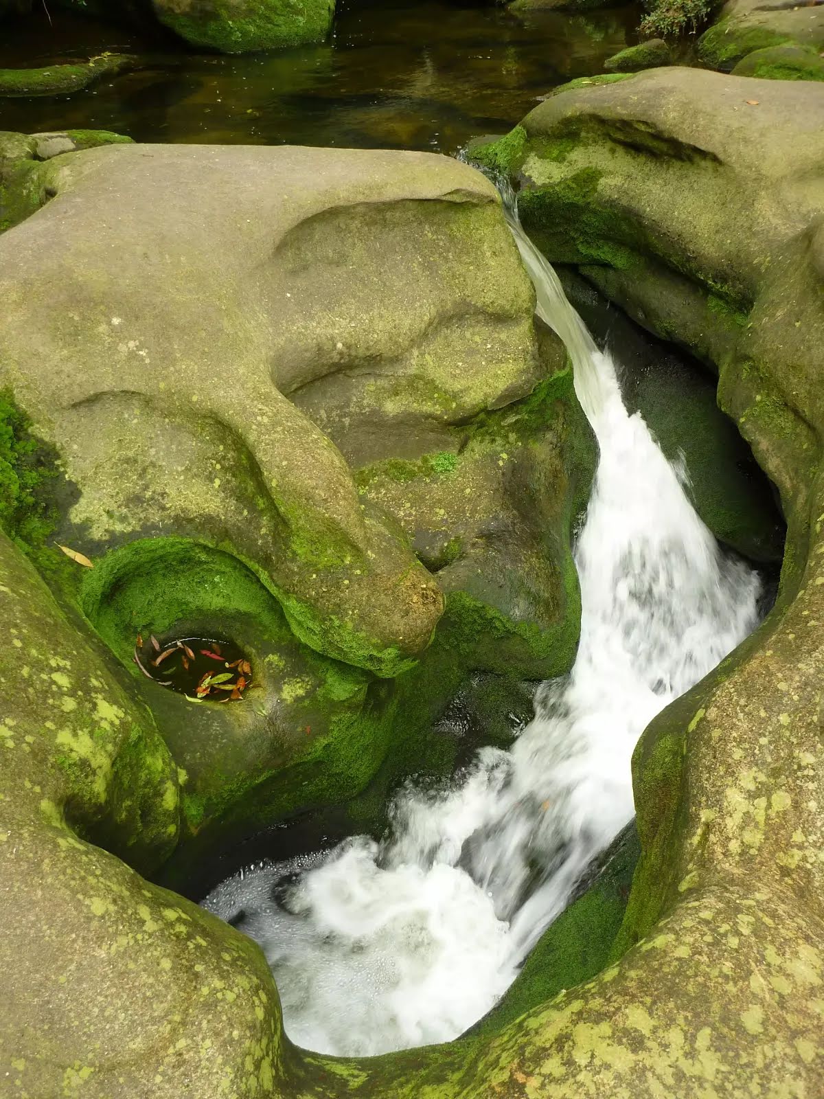
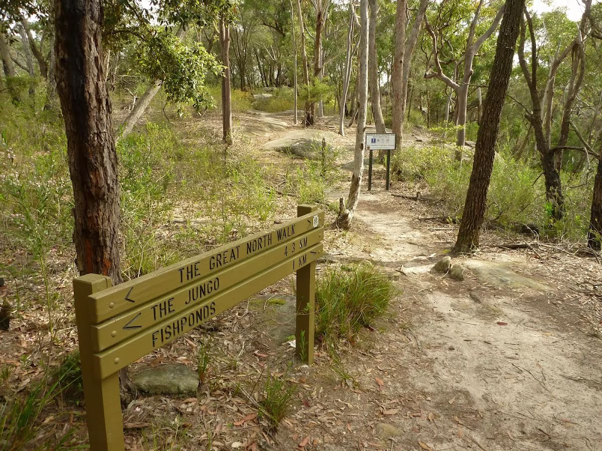
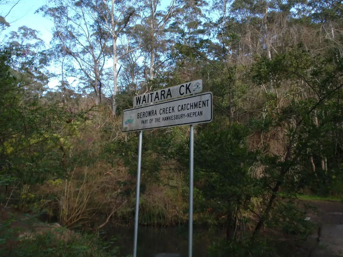
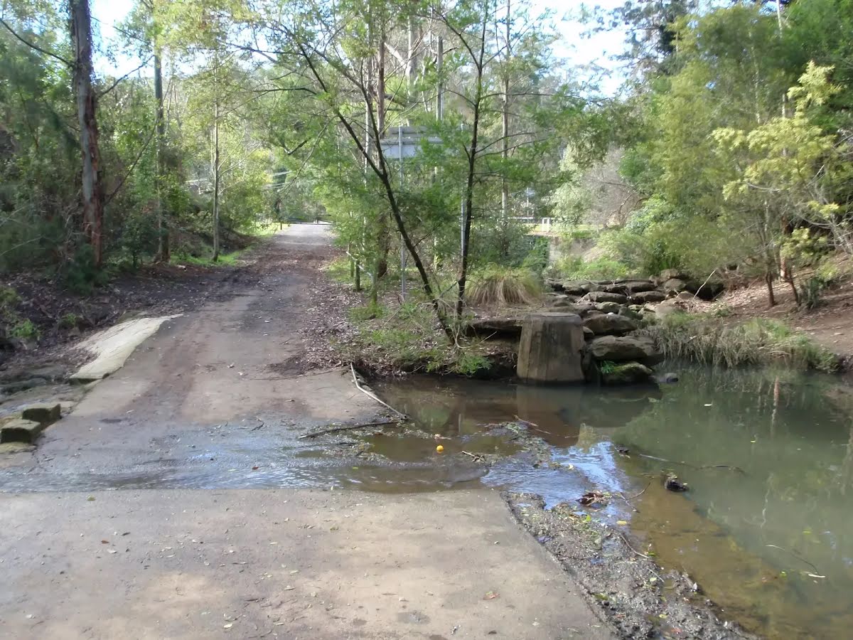
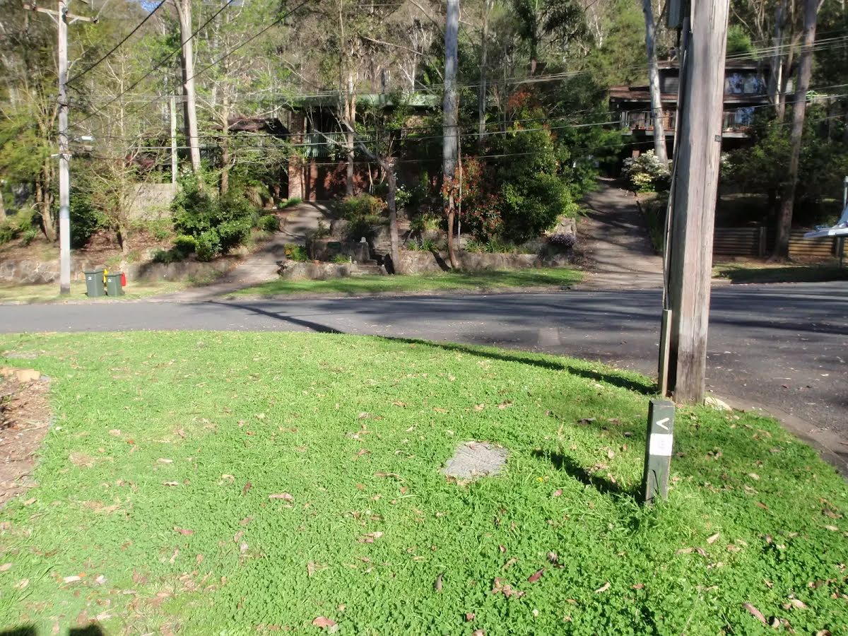
Fishponds
|
 |
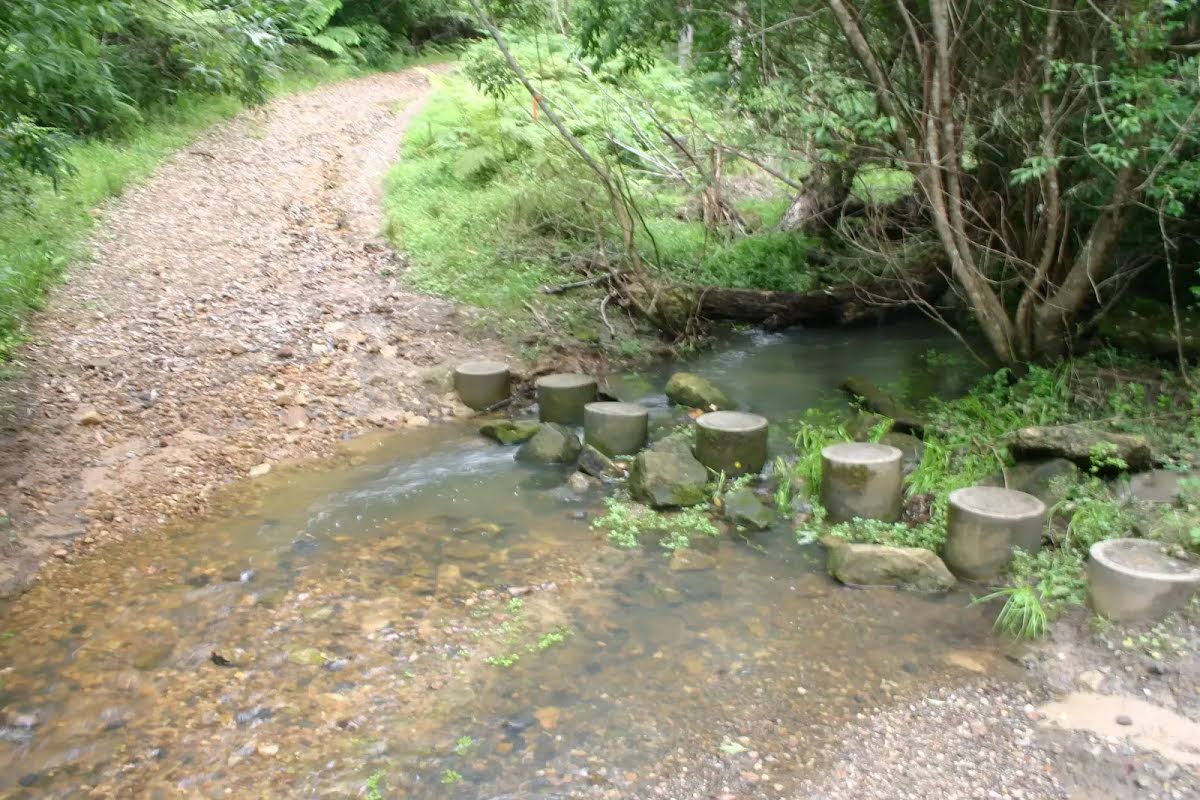
The starting point of an optional sidetrip. An optional side trip to Fishponds crossing. To start this optional side trip turn right here. On returning from this side trip continue straight when you get back to this intersection. Details below.
|
 |
|
 |
|
 |
|
 |
|
 |
|
 |
|
 |
|
 |
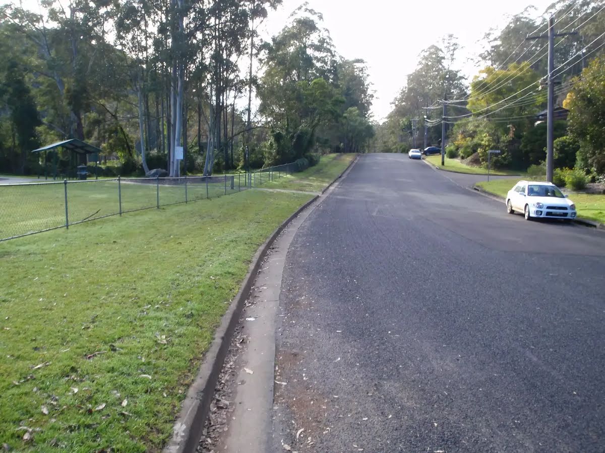
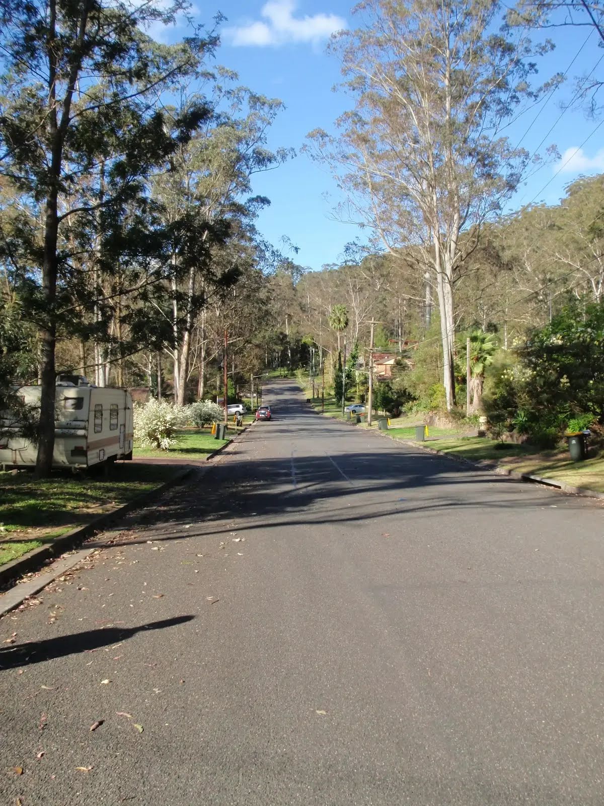
At the intersection of Valley Road & Ginger Meggs Trail veer left, to head along Valley Road (a residential road).
|
 |
|
 |
|
 |

|
|
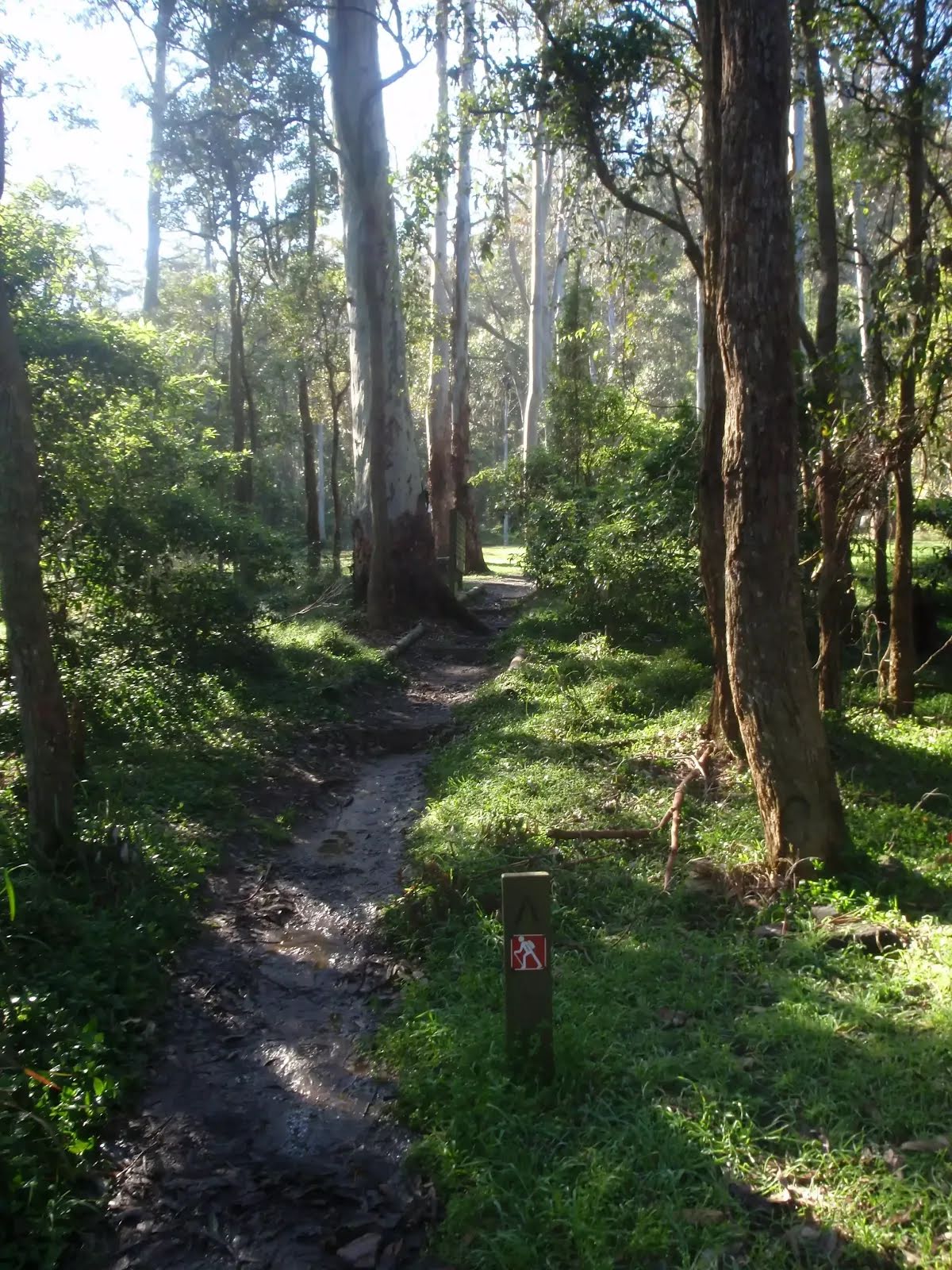
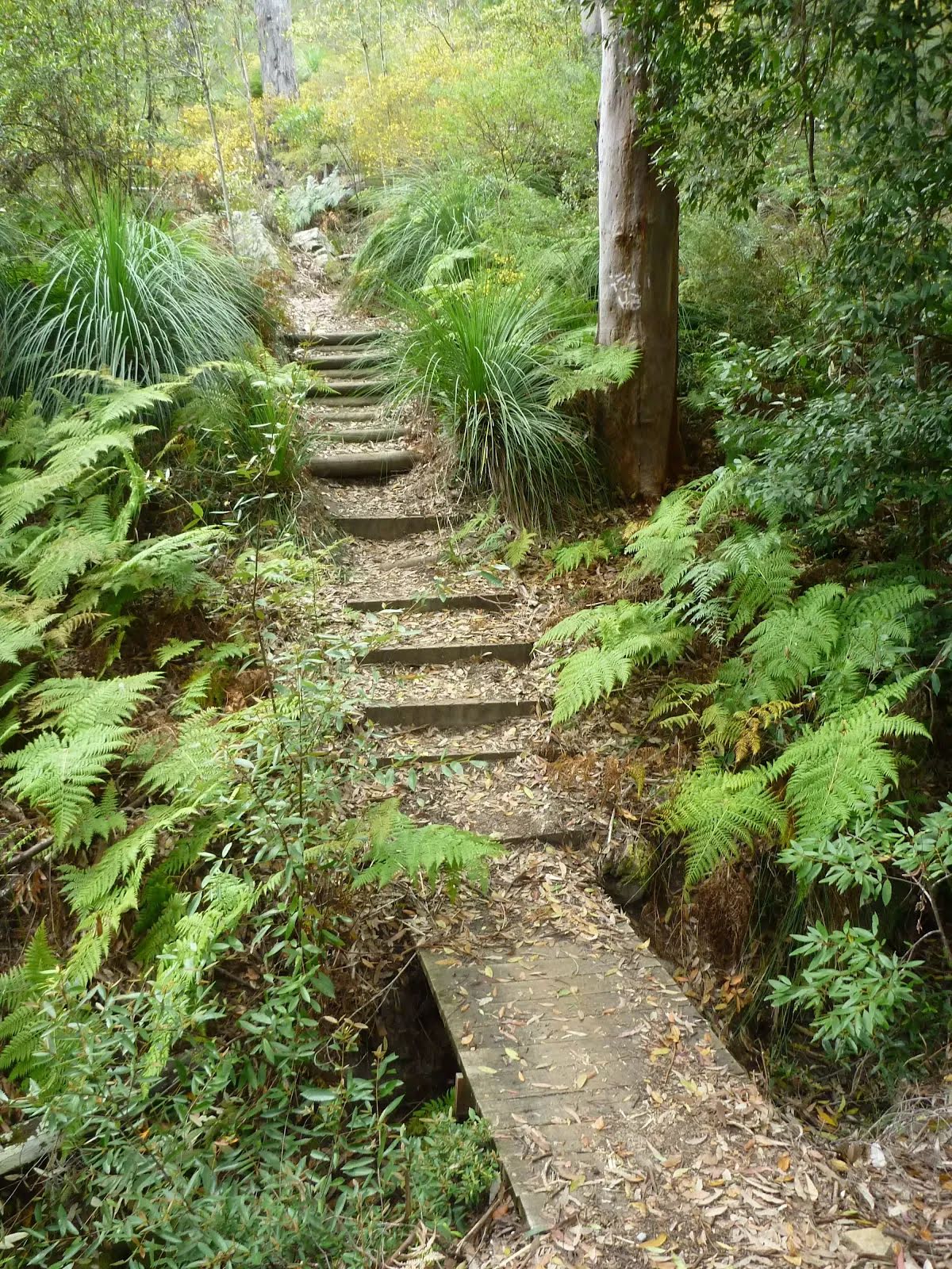
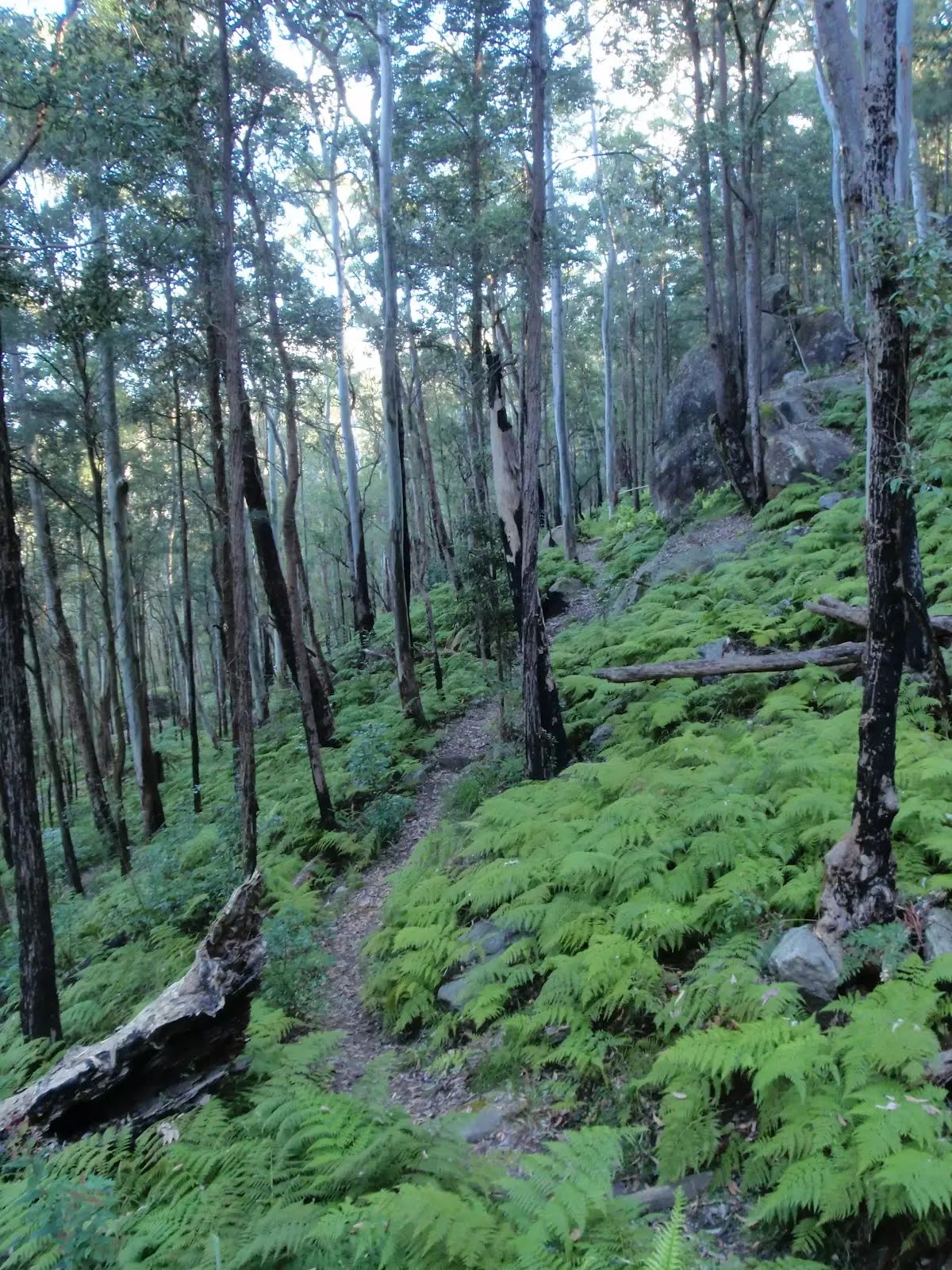
Class 4/6 Hard track |
|---|---|
| Length | 4.1 km |
| Time | 1 h 45 min to 2 h |
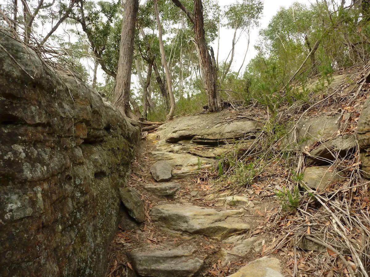
| Quality of track | Formed track, with some branches and other obstacles (3/6) |
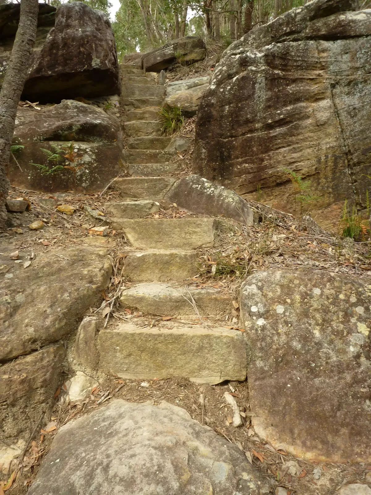
| Gradient | Very steep (4/6) |
| Signage | Directional signs along the way (3/6) |
| Infrastructure | Limited facilities, not all cliffs are fenced (3/6) |
| Experience Required | Moderate level of bushwalking experience recommended (4/6) |
| Weather | Storms may impact on navigation and safety (3/6) |
| Item | From Start | Name & link to notes |
|---|---|---|
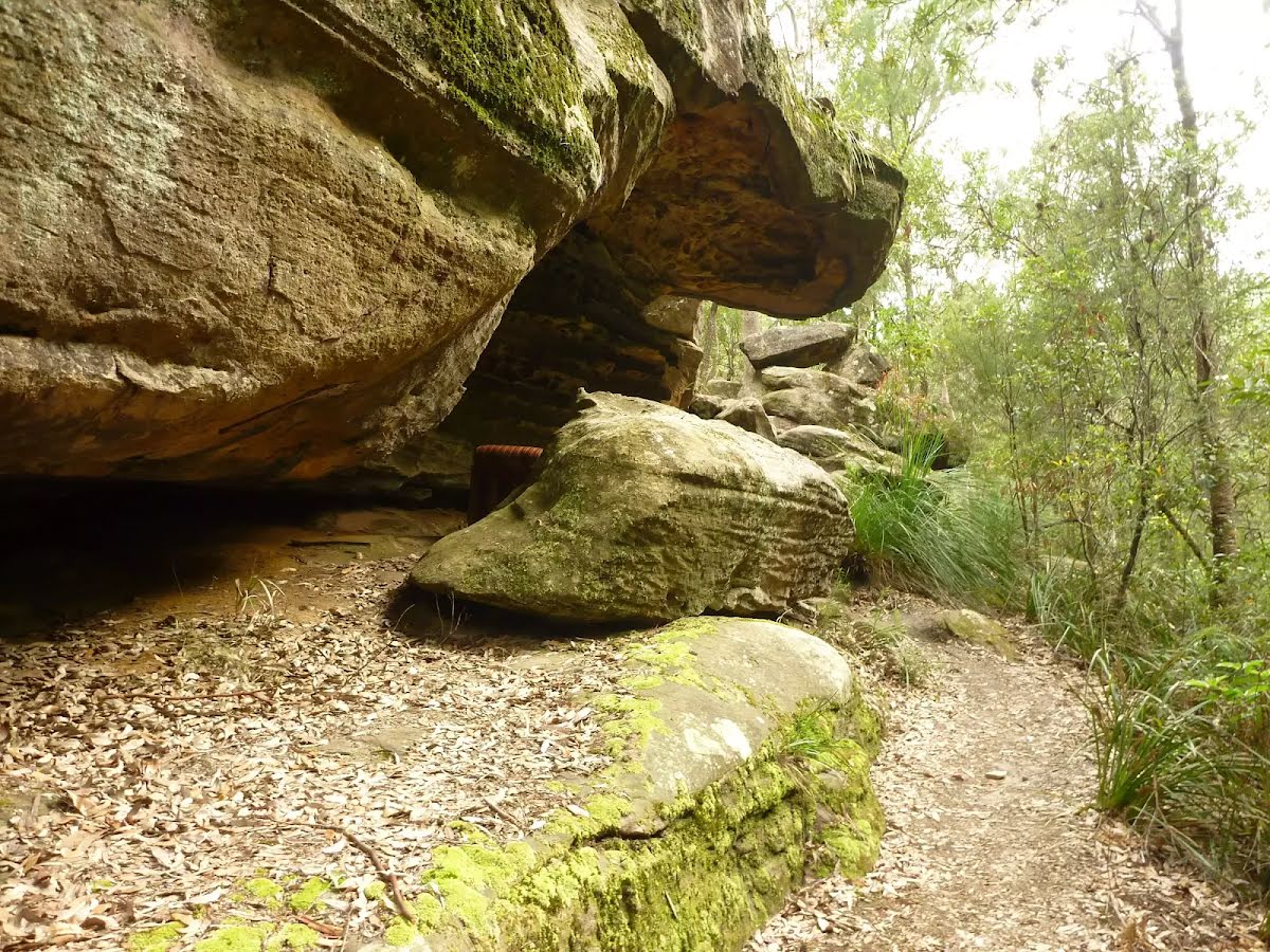
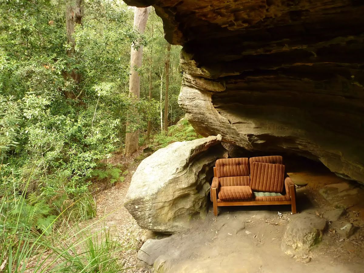
Shelter
| 40 m | [shelter] |
Shelter
| 3.6 km | [shelter] |