Start | (-37.2167421,150.0148564) |
Mode | Car (A park entry fee is required for driving into the park.) |
Directions | From Imlay Street, A1
|
Turn map | Directions & comments |
---|---|
|
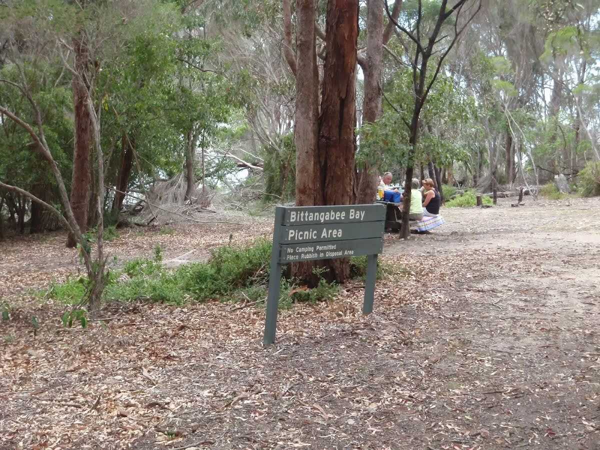
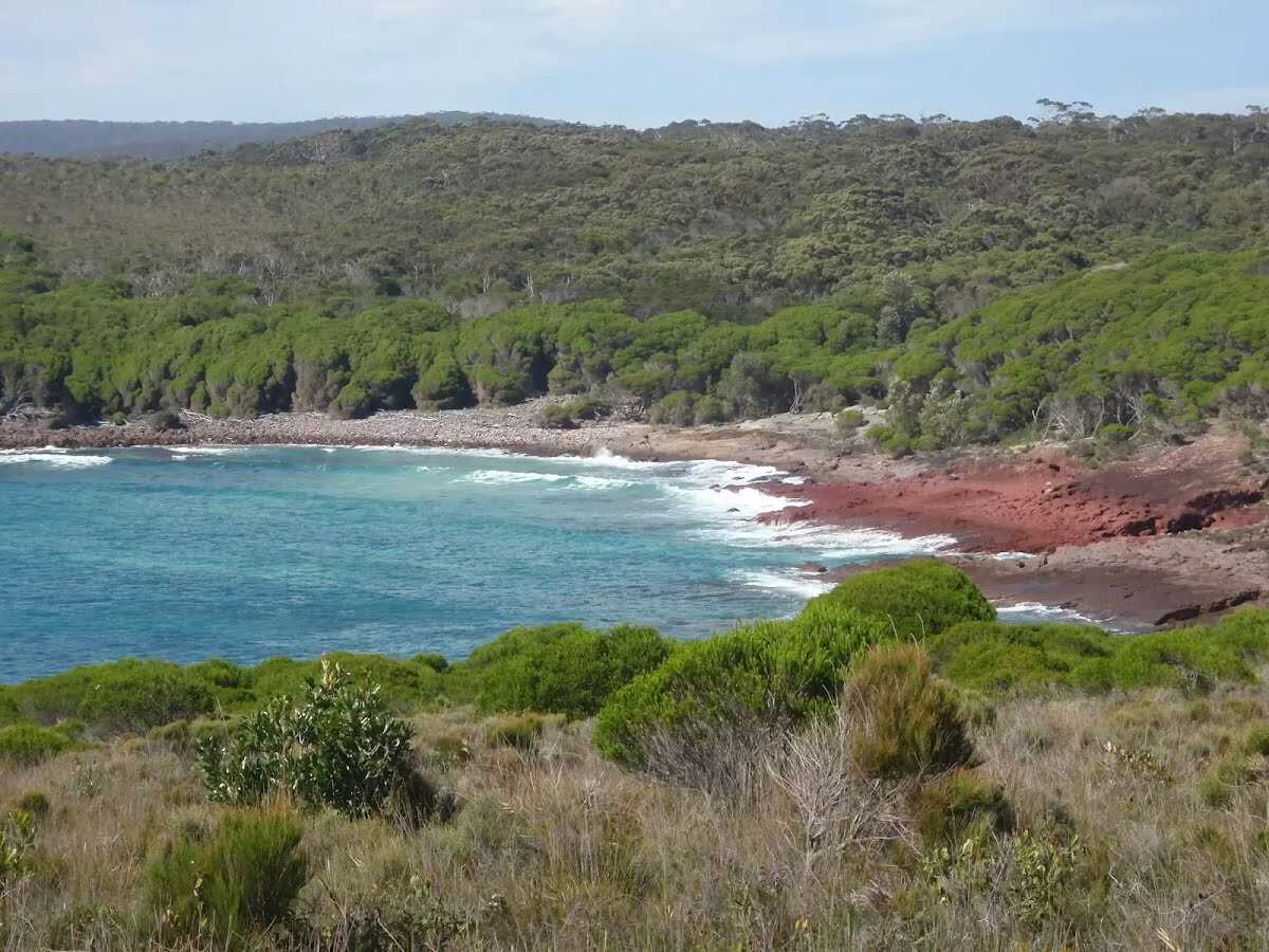
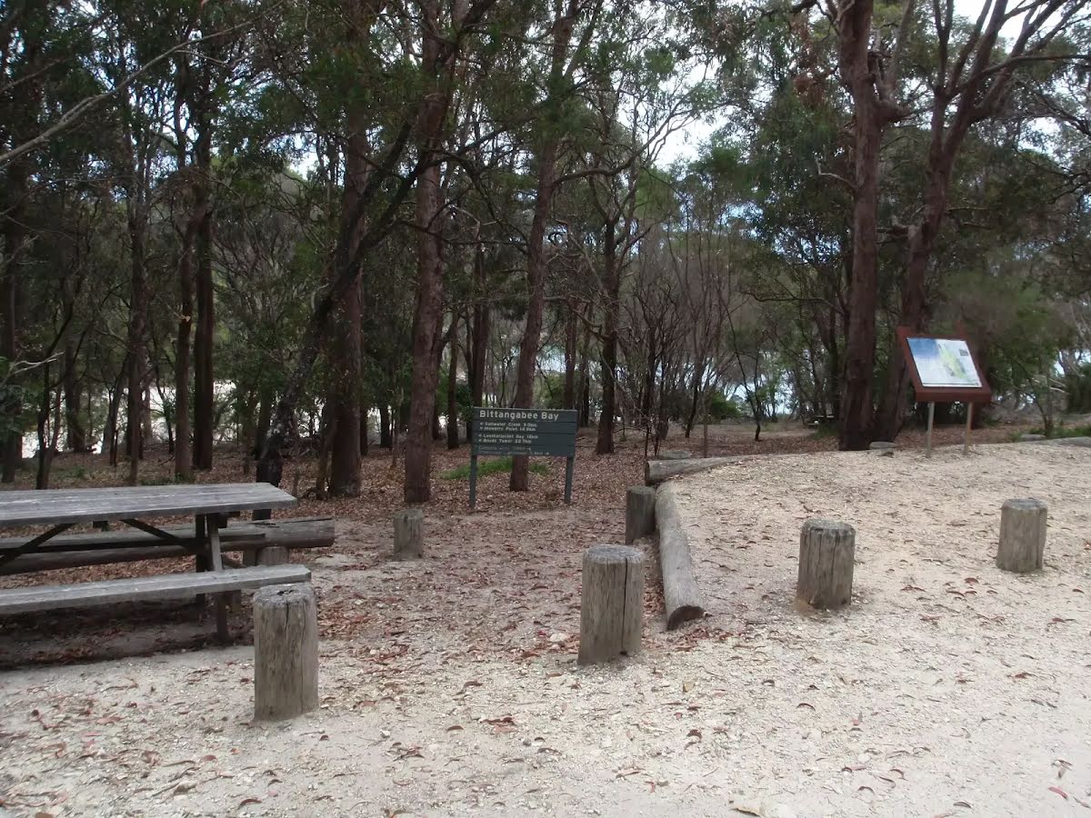
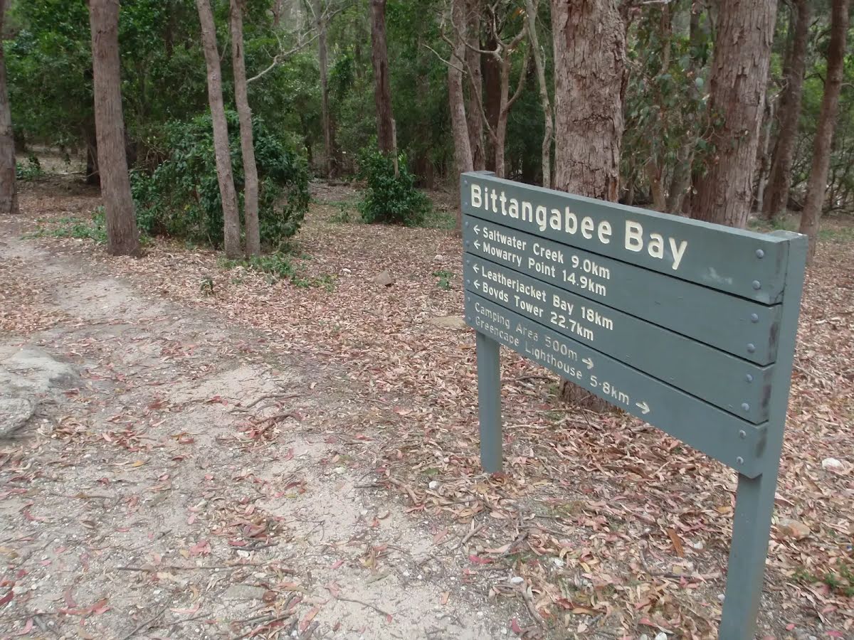
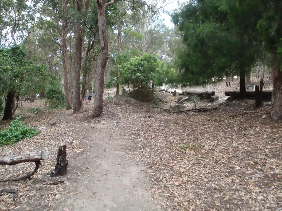
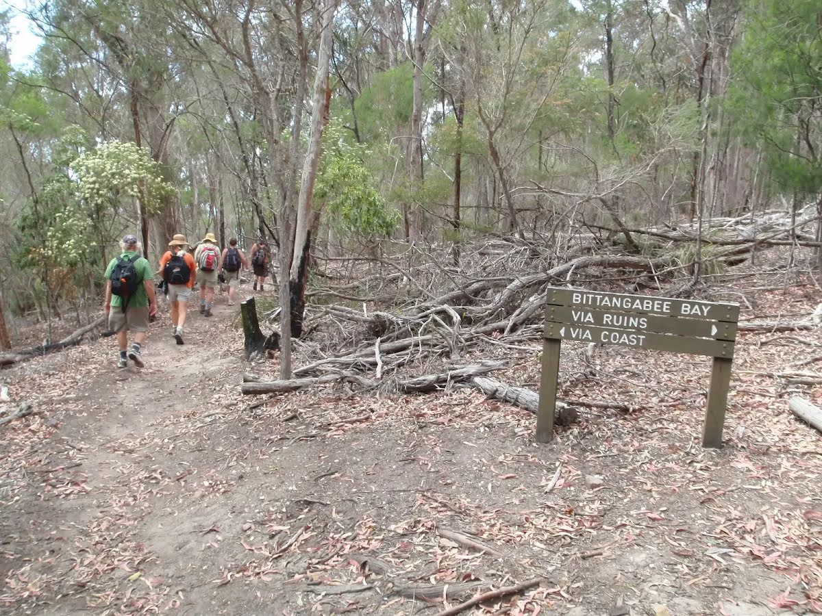
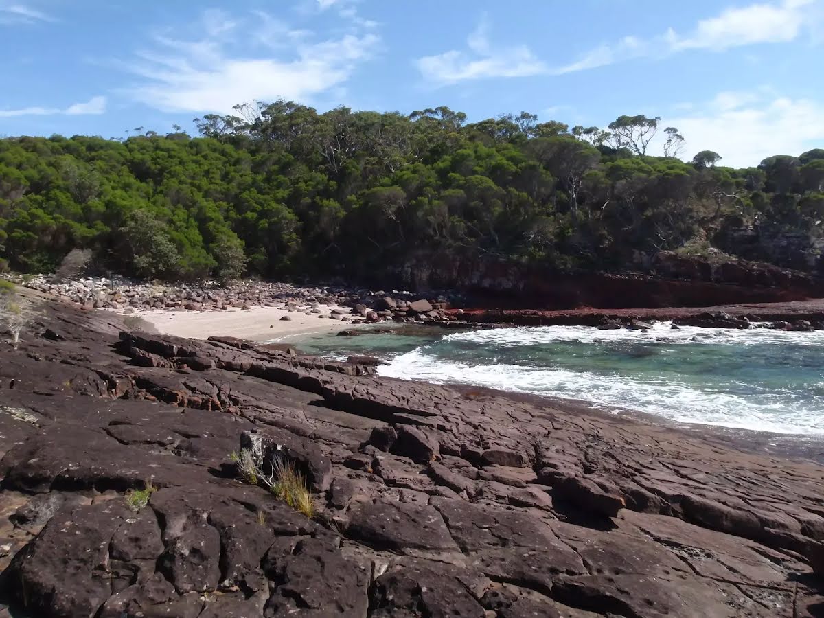
The starting point of an optional sidetrip. An optional side trip to Bittangabee Beach. To start this optional side trip turn sharp left here. On returning from this side trip continue straight when you get back to this intersection. Details below.
After 75 m find the "Bittangabee Bay Picnic Area" (on your left).
Bittangabee Bay Picnic Area is near Bittangabee Bay and camp area in Ben Boyd National Park. The picnic area is a day-use only area with a few picnic tables, an electric BBQ and a pit toilet. There is a reasonable amount of natural shade, and is close to a car park. There is short walk to the beach and ruins at Bittangabee Bay. The picnic area is well signposted on the loop road near the Bittangabee camping area.
|
|
The starting point of an alternate route. An alternative route linking Int. Coast and Ruins Trks Sth to Int. Coast and Ruins Trks Nth. To take the alternate route continue straight here. Details below.
After another 215 m find the "Imlay House" (on your right).
Imlay House ruins still show the foundations of a house built by the Imlay brothers in 1844. The ruins are found in Bittangabee Bay in Ben Boyd National Park, along the Light to Light track. The house was to be a station for the Imlay family to further their grazing and whaling in the area. It appears the stone house was never completed, with the brothers dying in 1846 (George) and 1847 (Alexander). Soon after the Imlay brothers died, Benjamin Boyd began using the bay for his own whaling company in 1848.
|
|
The alternate route finishes here. Continue straight to rejoin the main route at the 530 m waypoint. Details below.
Then find the "Bittangabee Creek" (8 m on your right).
Bittangabee Creek is a small creek feeding Bittangabee Bay in Ben Boyd National Park. The creek enters the bay and is crossed by the Light to Light track about 800m north-west of Bittangabee Campsite. The creek provides a quiet place for people to paddle and relax.
After another 1.4 km find the "Black cliffs" (20 m on your right).
The black cliffs of Ben Boyd National Park provide a great vantage point. The headland on the north side of Bittangabee has a fairly large clearing on a rock platform, high above the ocean. There are great views out to sea and into the mouth of Bittangabee Bay. There are no fences or facilities at this informal lookout. Being dark in colour, this rock platform can get very uncomfortable on hot days - trees on the south side provide some respite with shade. The rock slopes into the sea on the south side, but would be too dangerous for swimming.
After another 1.9 km find the "Hegartys Bay camping area" (40 m on your left).
Hegartys Bay camping area is a basic bush campsite on the Light to Light walk, about 2km north of Bittangabee. The campsite is signposted and is just north of a small creek that leads to Hegartys Bay. There is another, smaller campsite that is not signposted, about 50m north. The creek is very unreliable and other than some impromptu chairs made from driftwood, there are no facilities provided. The campsite is nestled in a clearing among the tall, dense bush, providing some shade and shelter from winds.
After another 6 m find the "Hegartys Bay" (55 m on your right).
Hegartys Bay is a north-east facing bay, about 2km north of Bittangabee in Ben Boyd National Park. The bay has many small boulders at the apex that then fade to rock shelves at each end. The bay is walled by red cliffs at the entrance and the northern wall has some spectacular examples of rock folding. The bay can be accessed along the Light to Light track and is home to a bush campsite.
|
|
Turn map | Directions & comments |
---|---|
|
|
|
Class 4/6 Hard track |
|
---|---|
Length | 9 km |
Time | 3 h to 3 h 30 min |
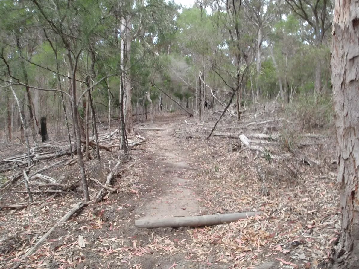
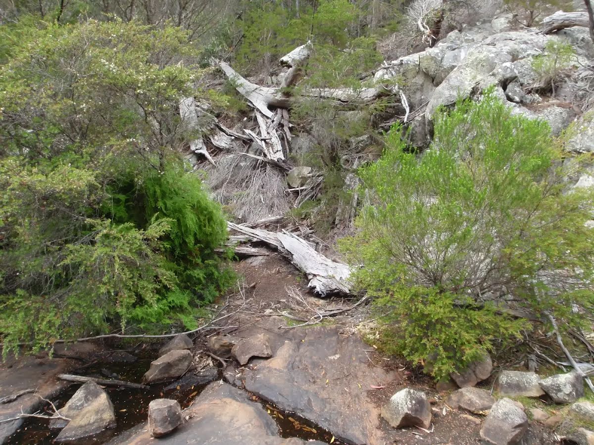
Quality of track | Rough track, where fallen trees and other obstacles are likely (4/6) |
Gradient | Very steep (4/6) |
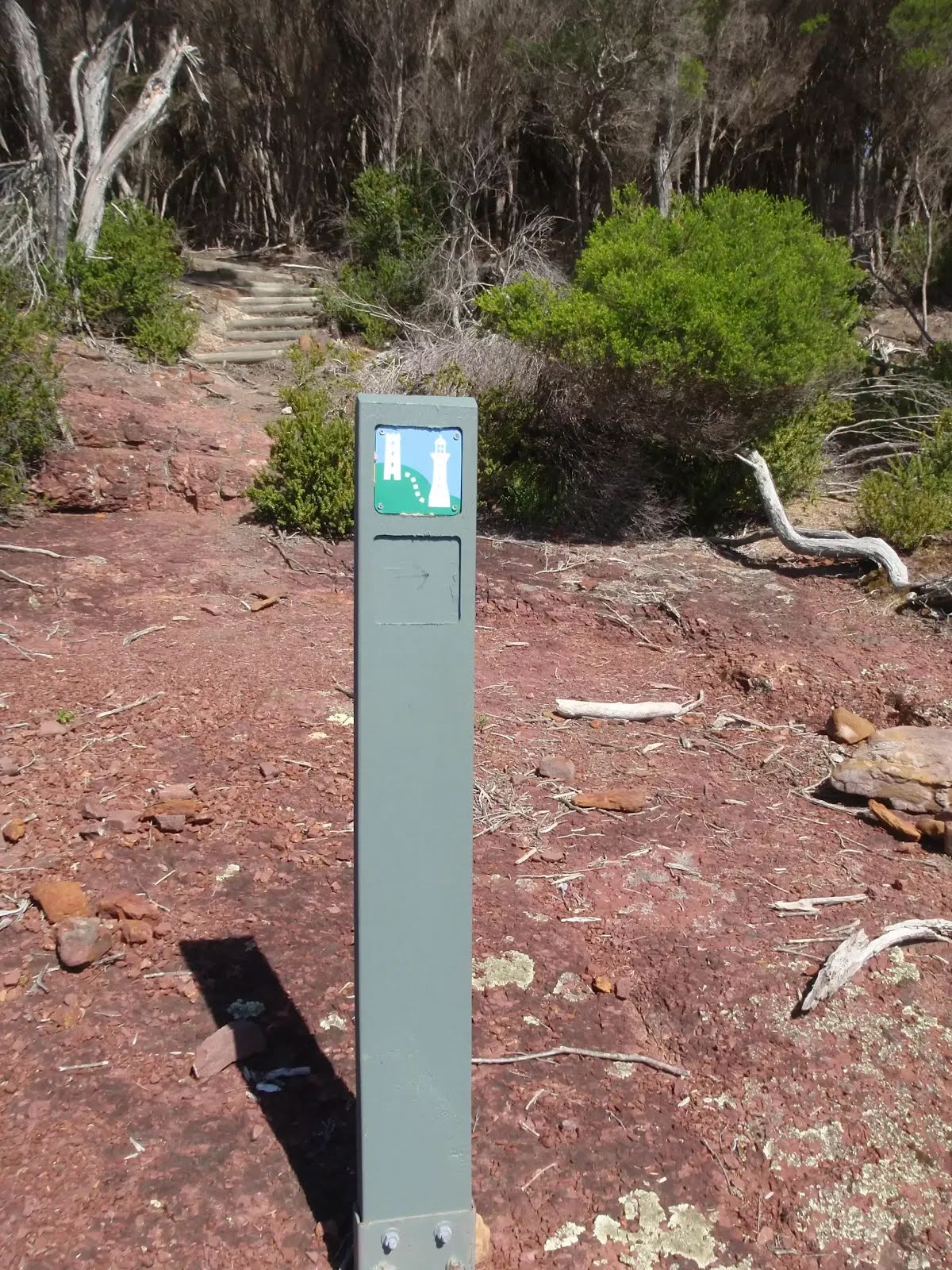
Signage | Minimal directional signs (4/6) |
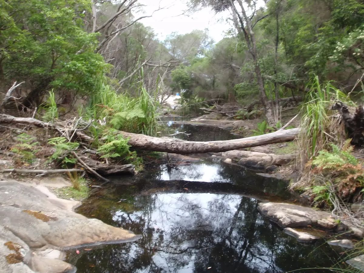
Infrastructure | Limited facilities (such as cliffs not fenced, significant creeks not bridged) (4/6) |
Experience Required | No experience required (1/6) |
Weather | Storms may impact on navigation and safety (3/6) |
Item | From Start | Name & link to notes |
---|---|---|
Toilet
| 60 m | [toilet] |
Campsite
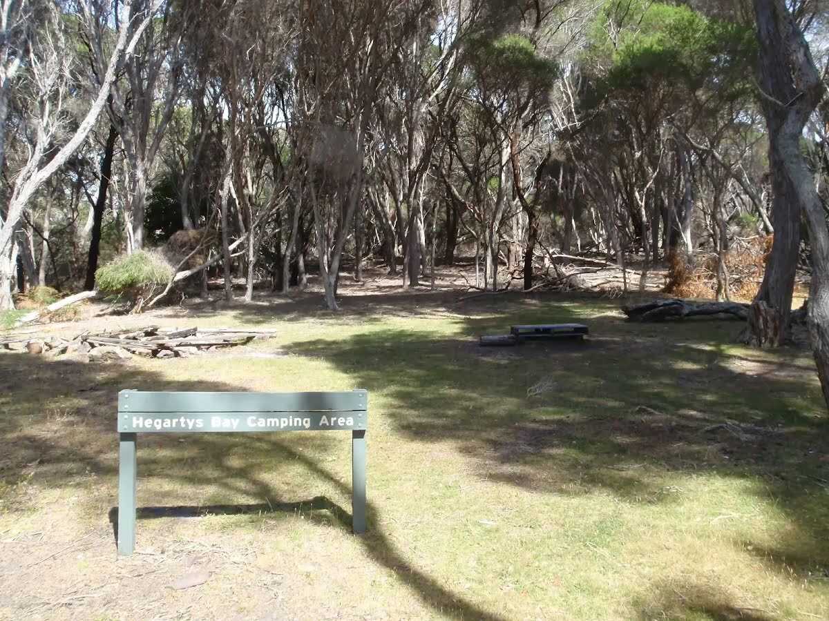
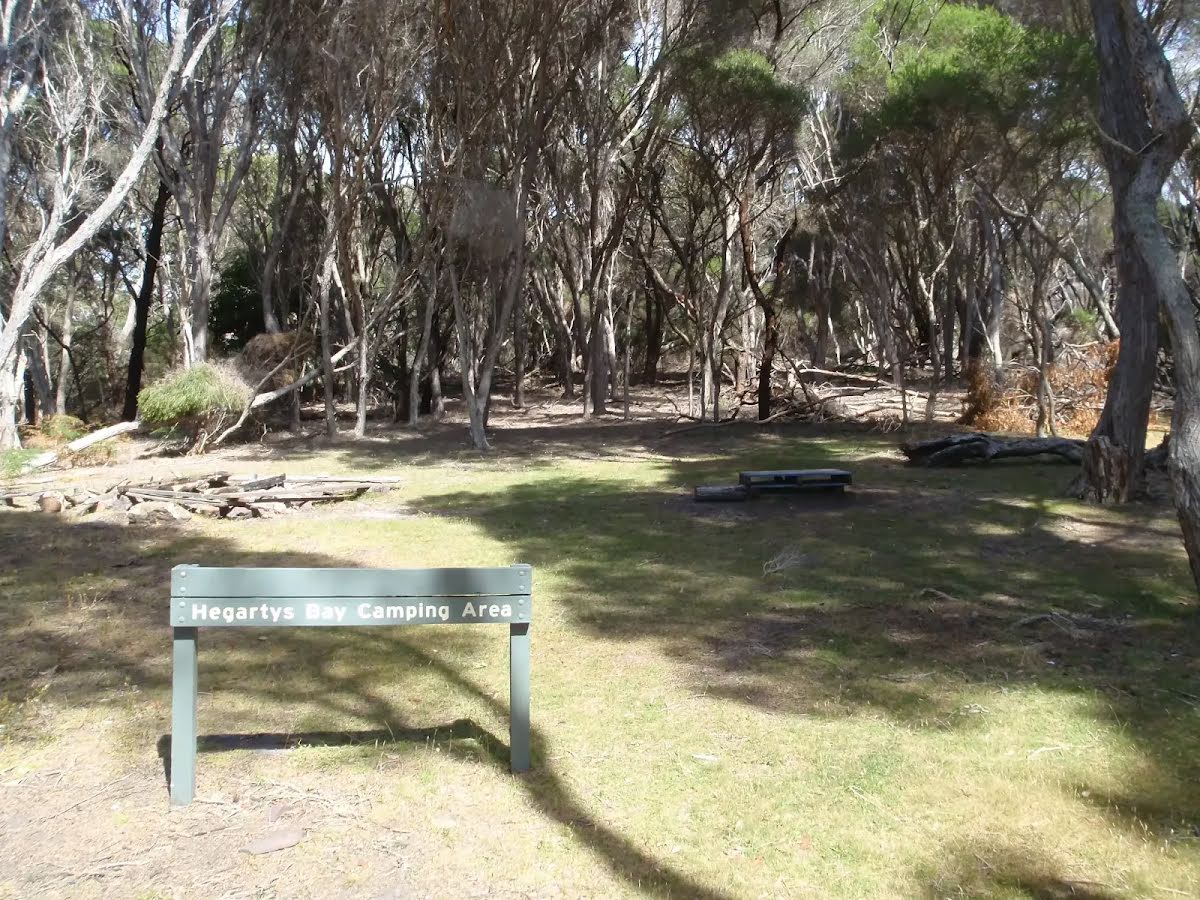
| 4.2 km | Hegartys Bay camping area |