Mouat Trail (Katandra to Rumbalara)
Darkinjung & Guringai Country

1 h 30 min to 2 h

3.9 km
oneway

↑ 90 m
↓ -163 m

Hard track
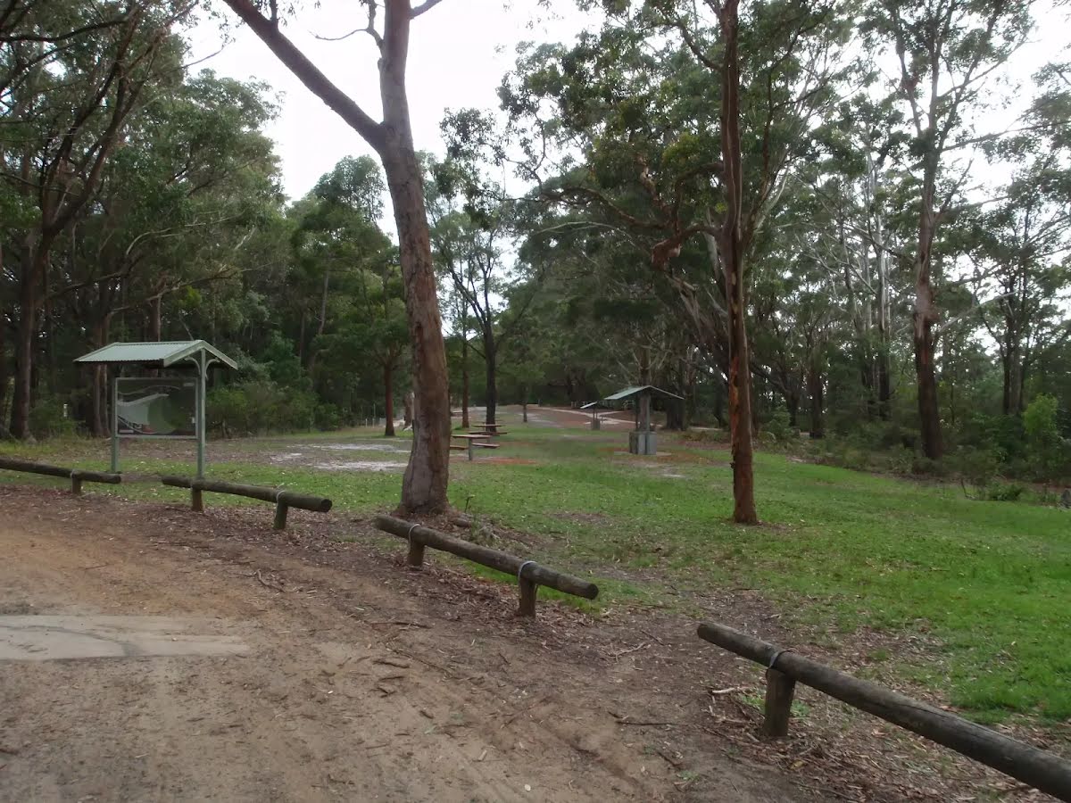
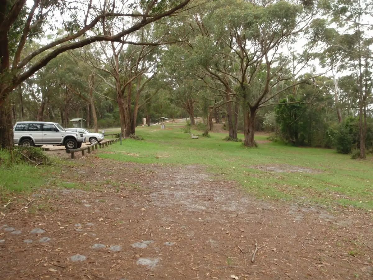
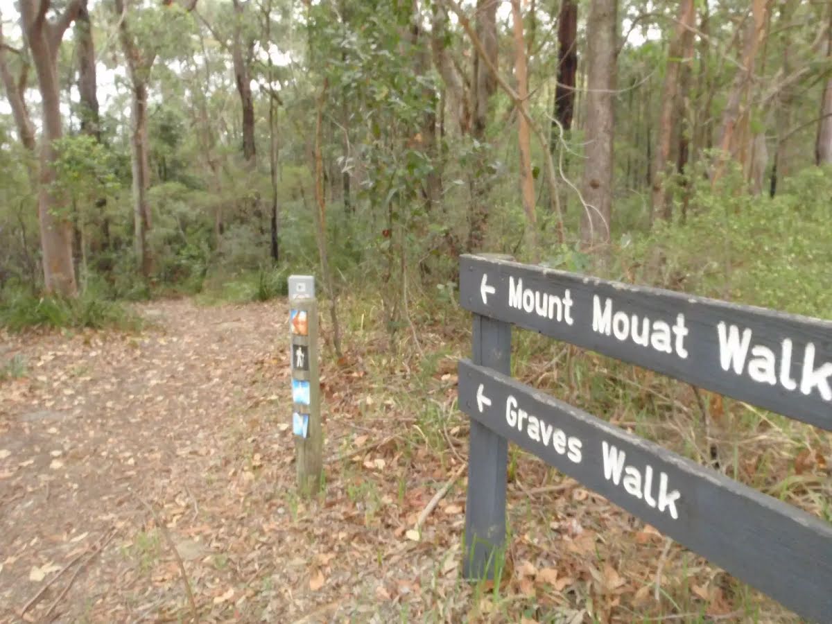
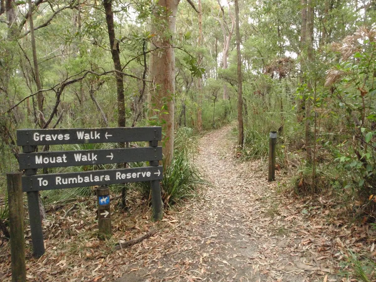
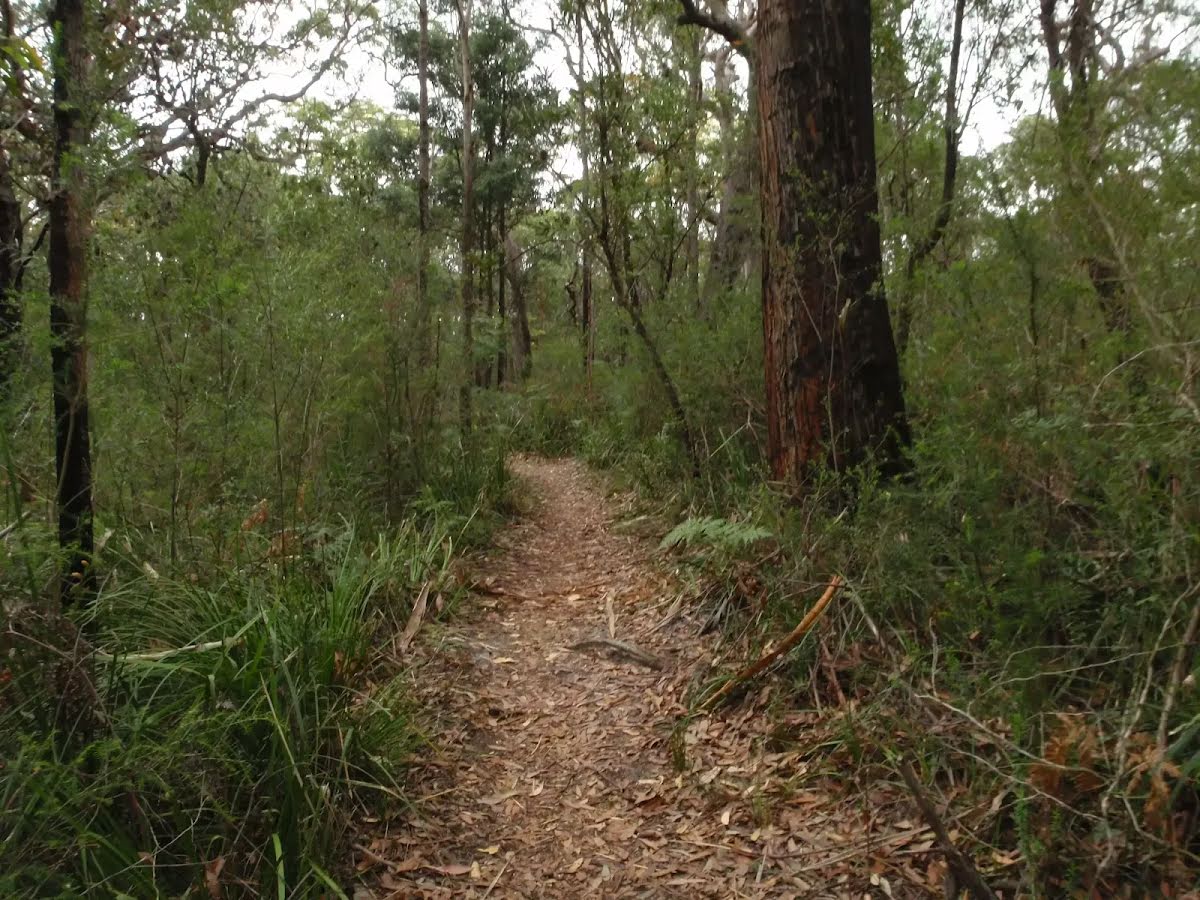
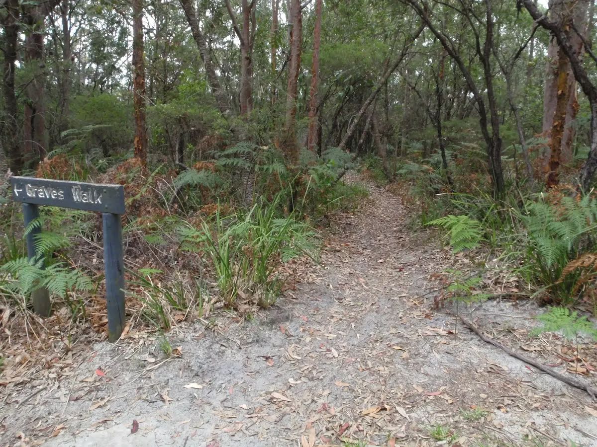
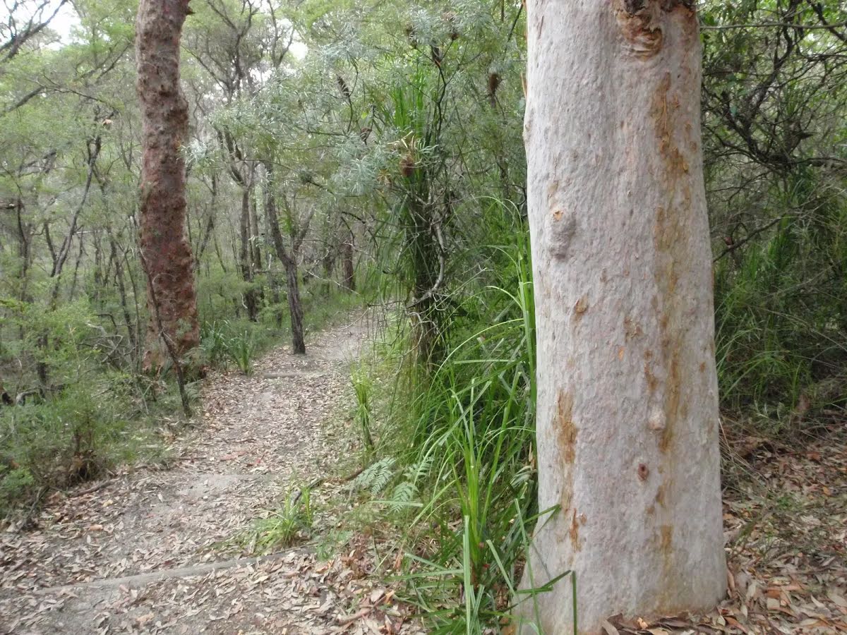
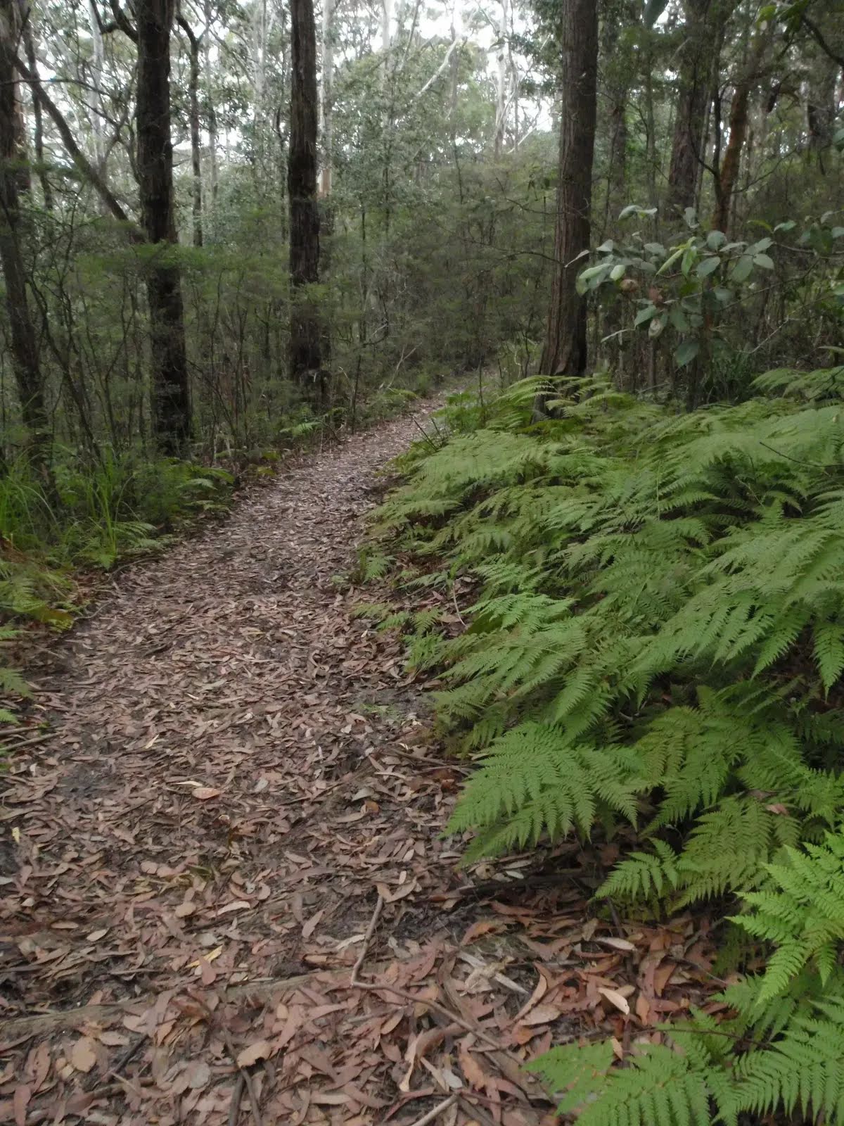
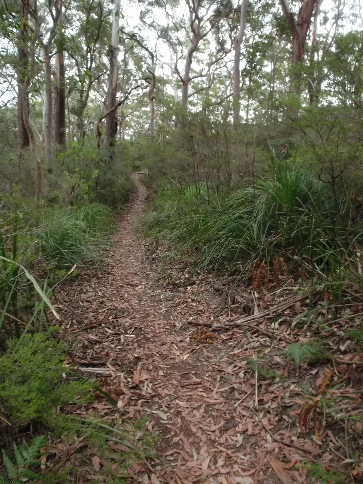
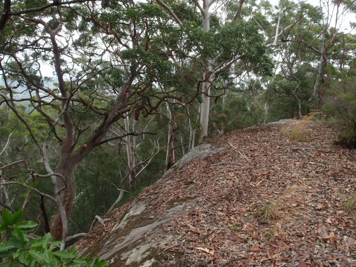
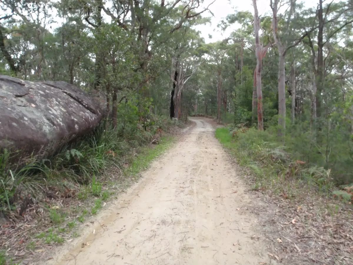
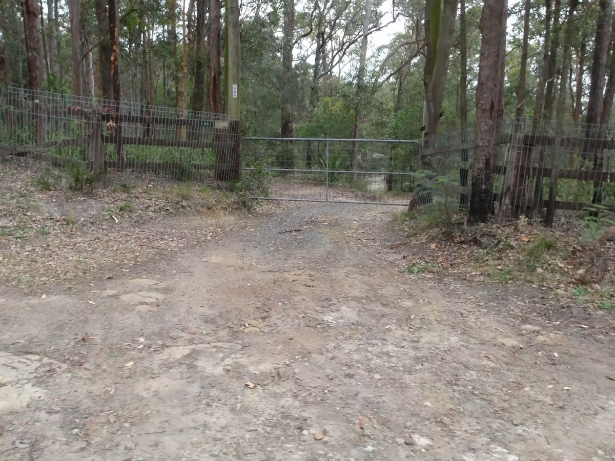
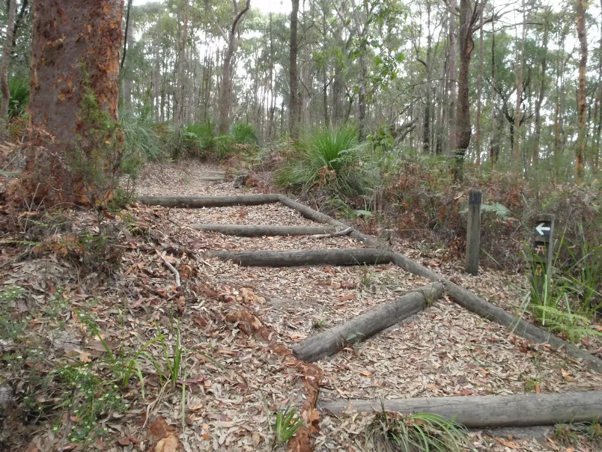
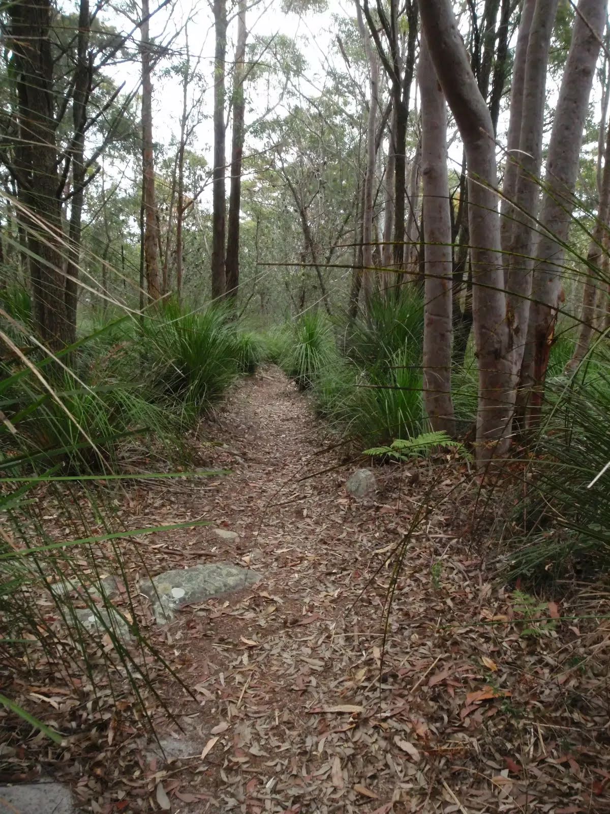
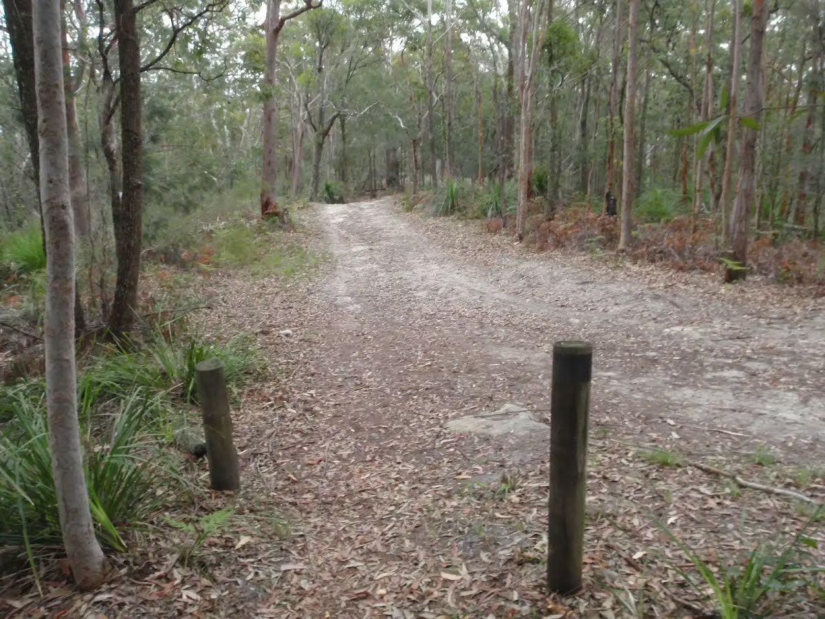
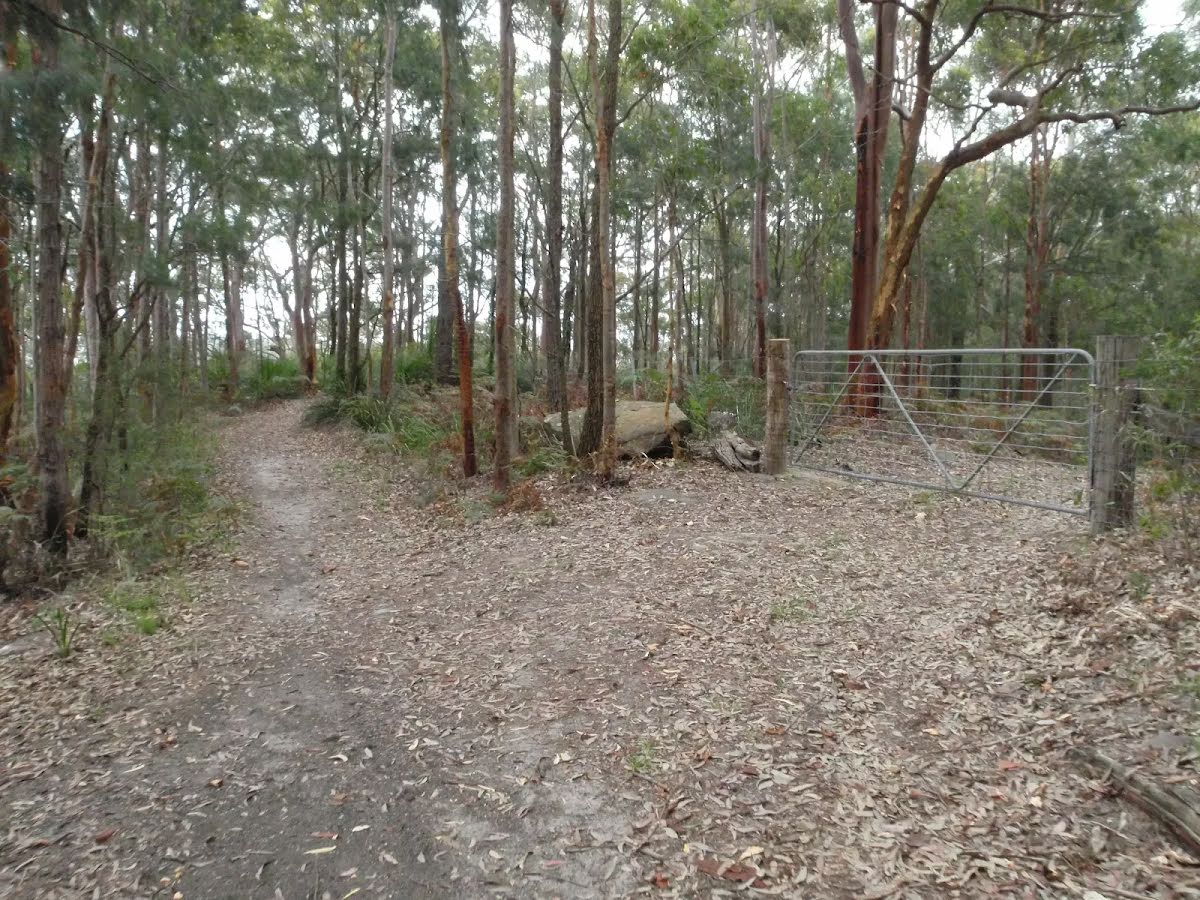
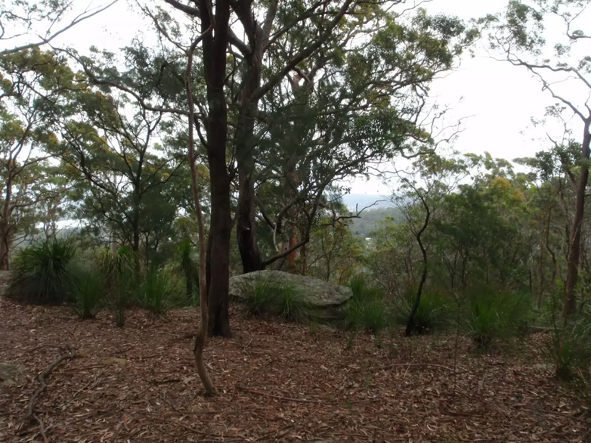
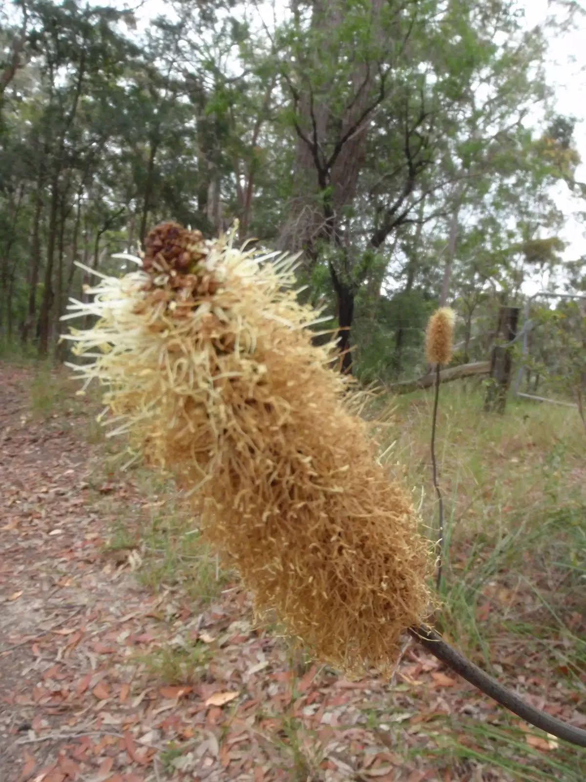
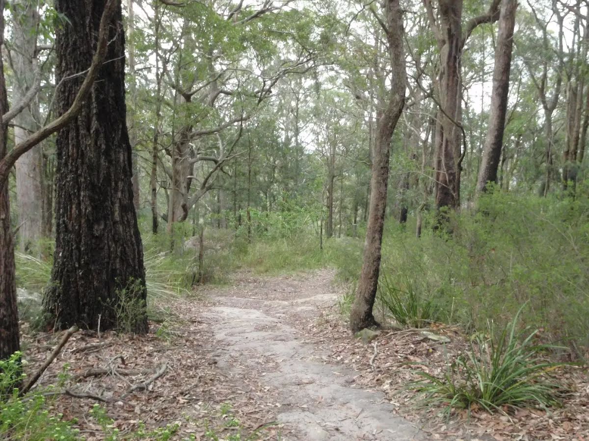
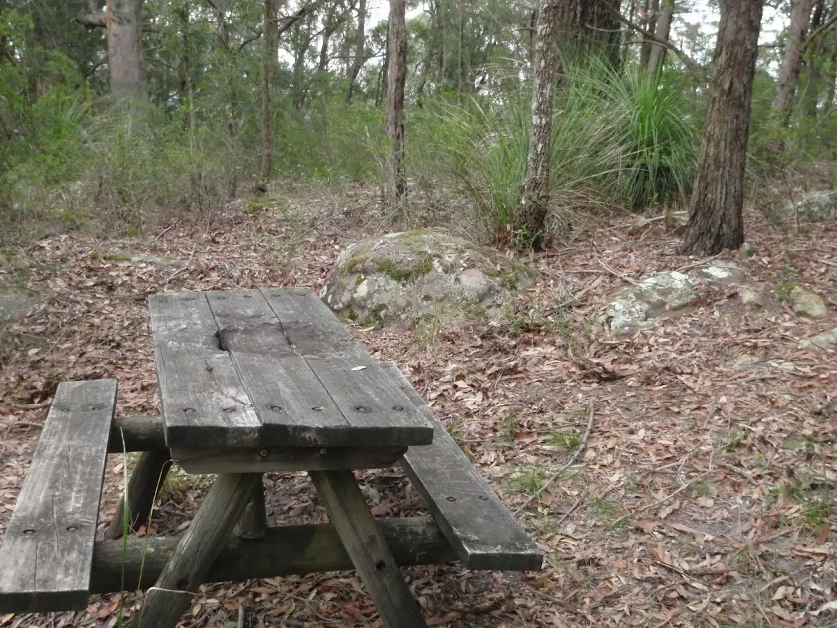
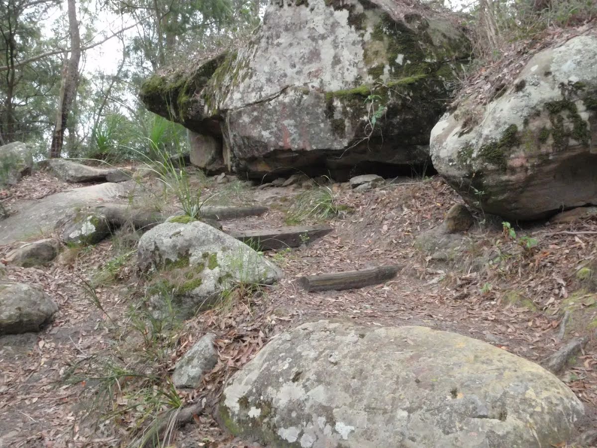
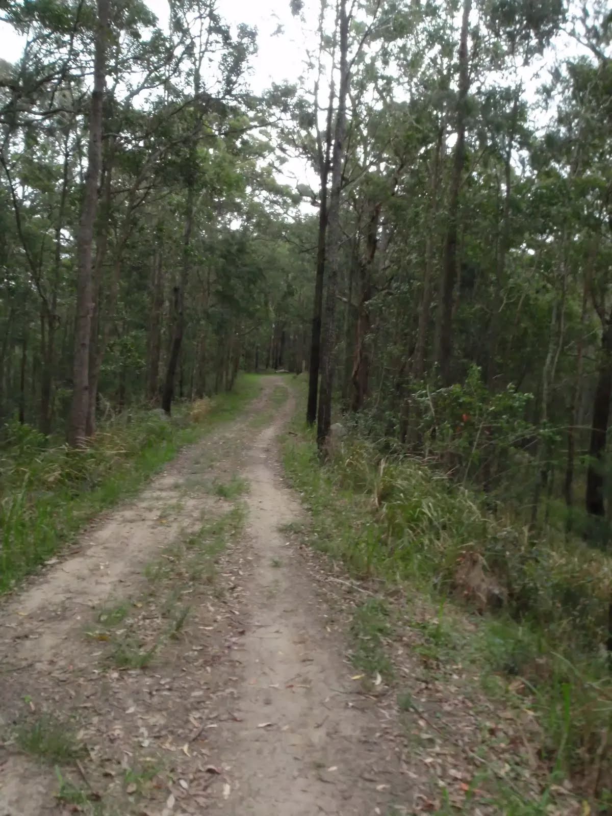
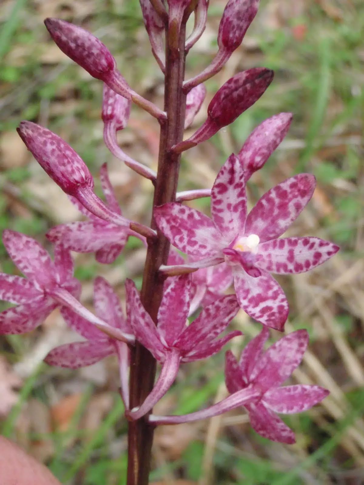
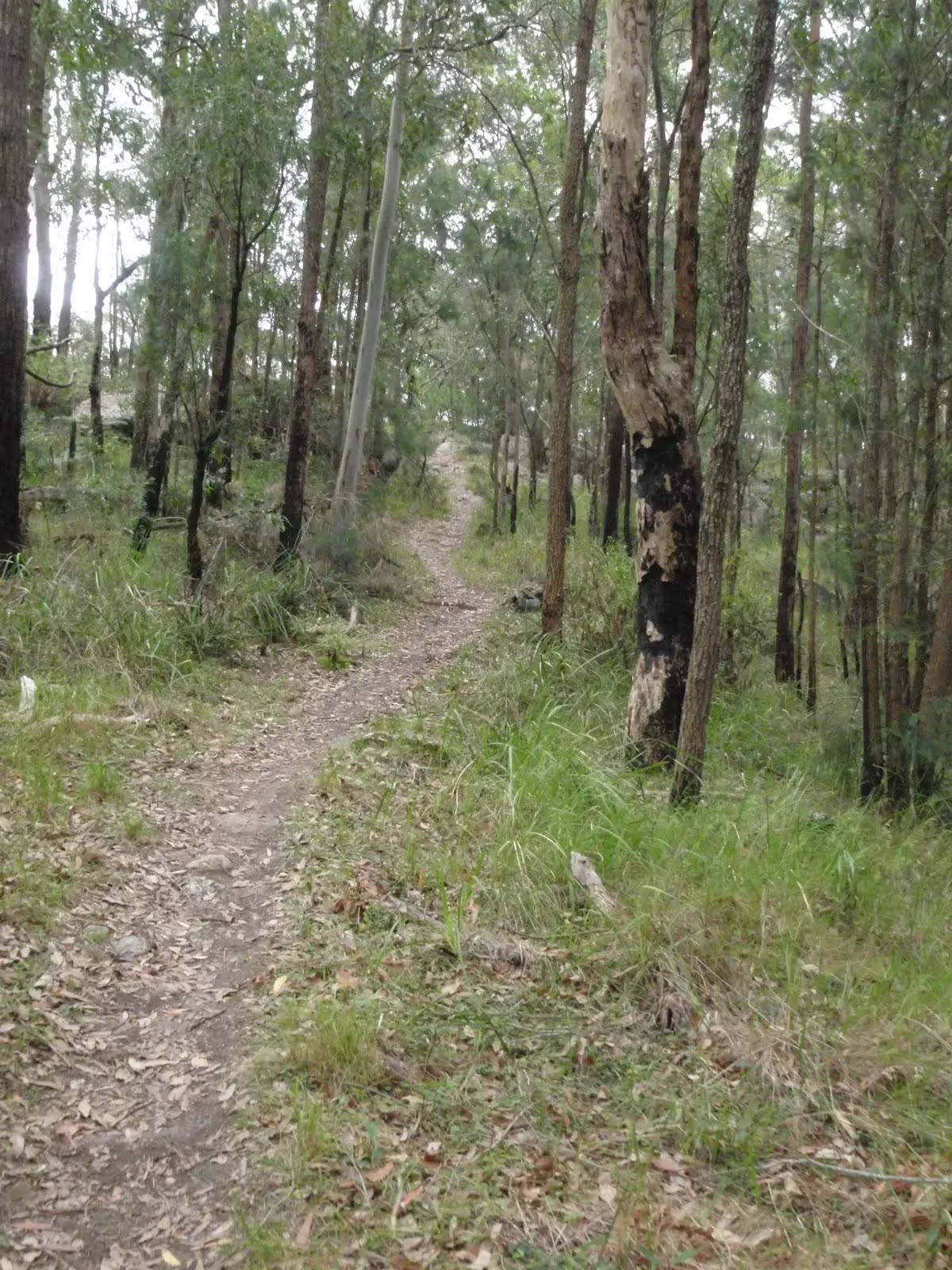
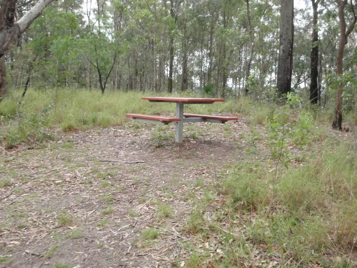
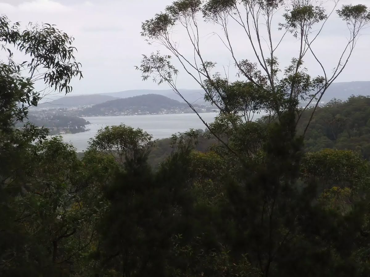
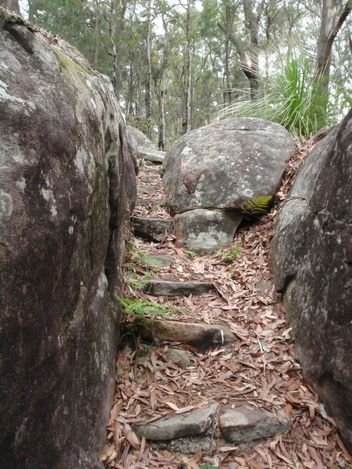
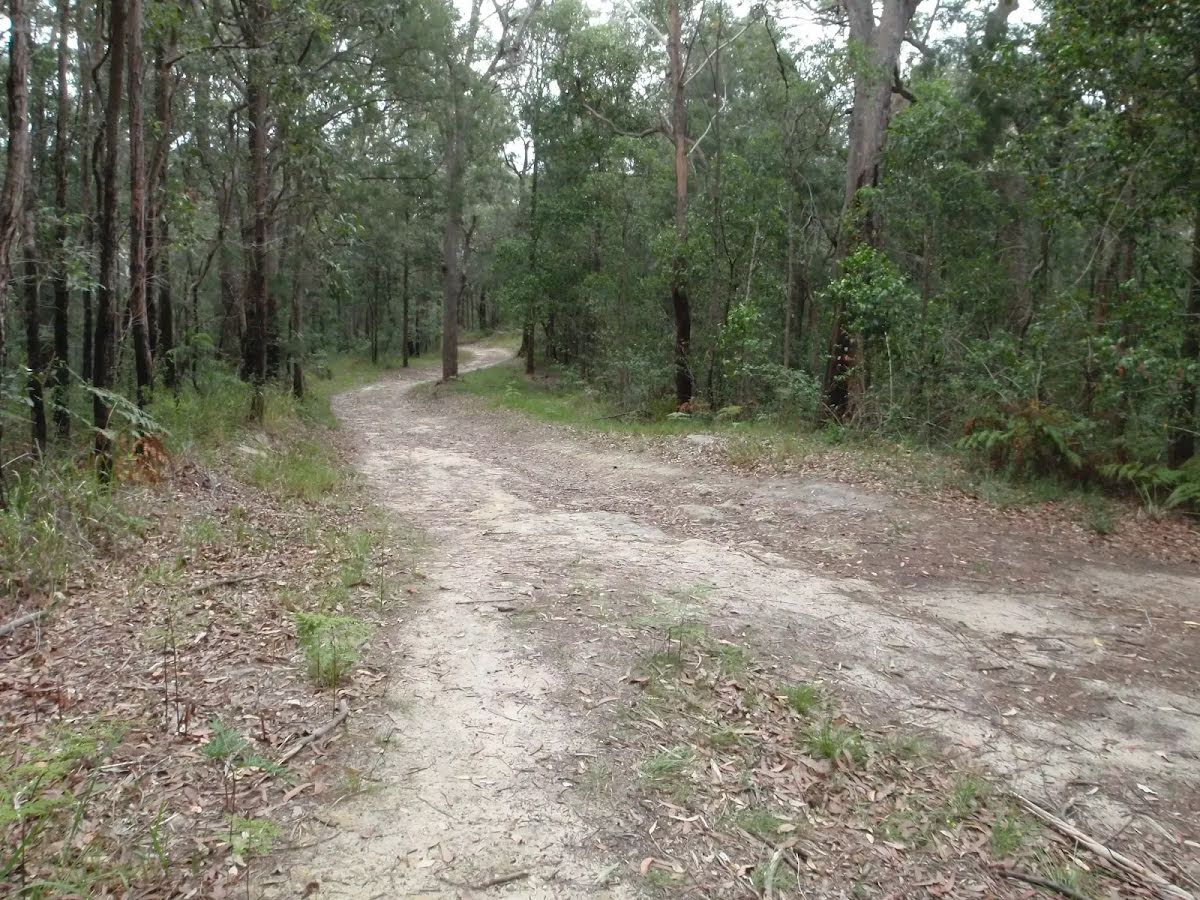
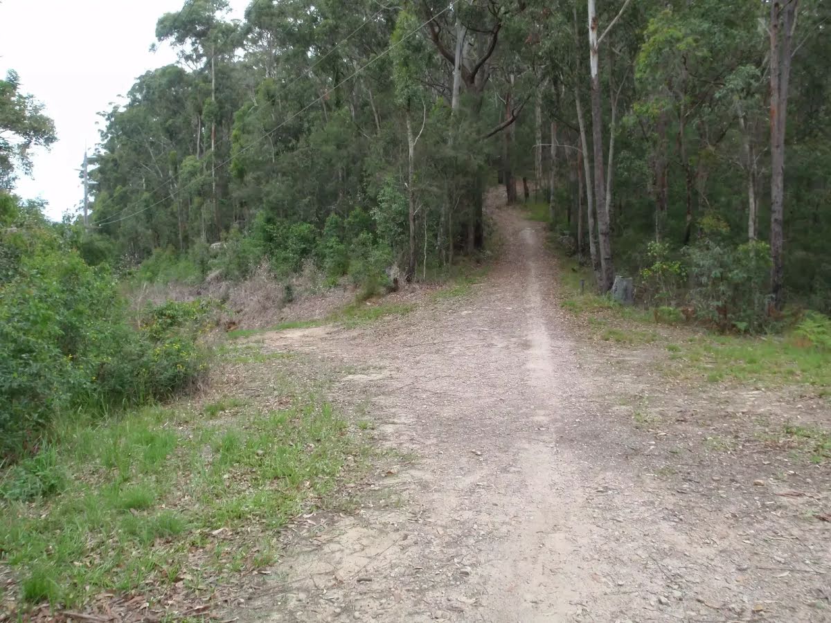
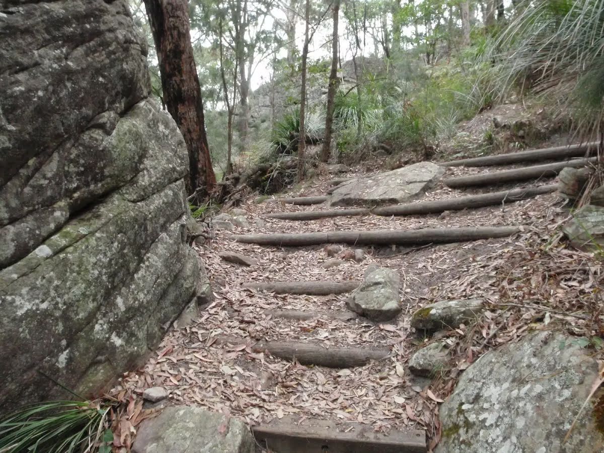
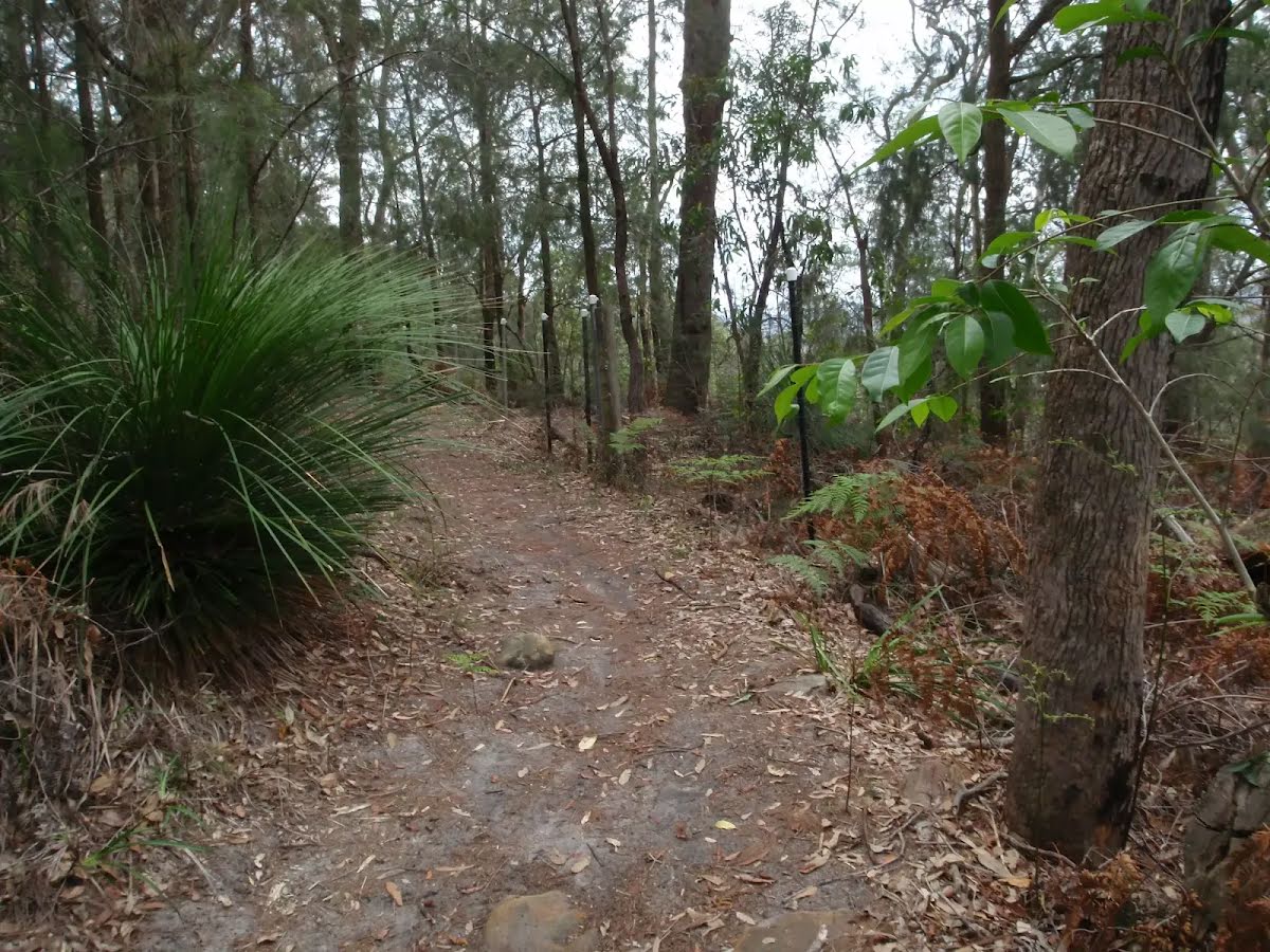
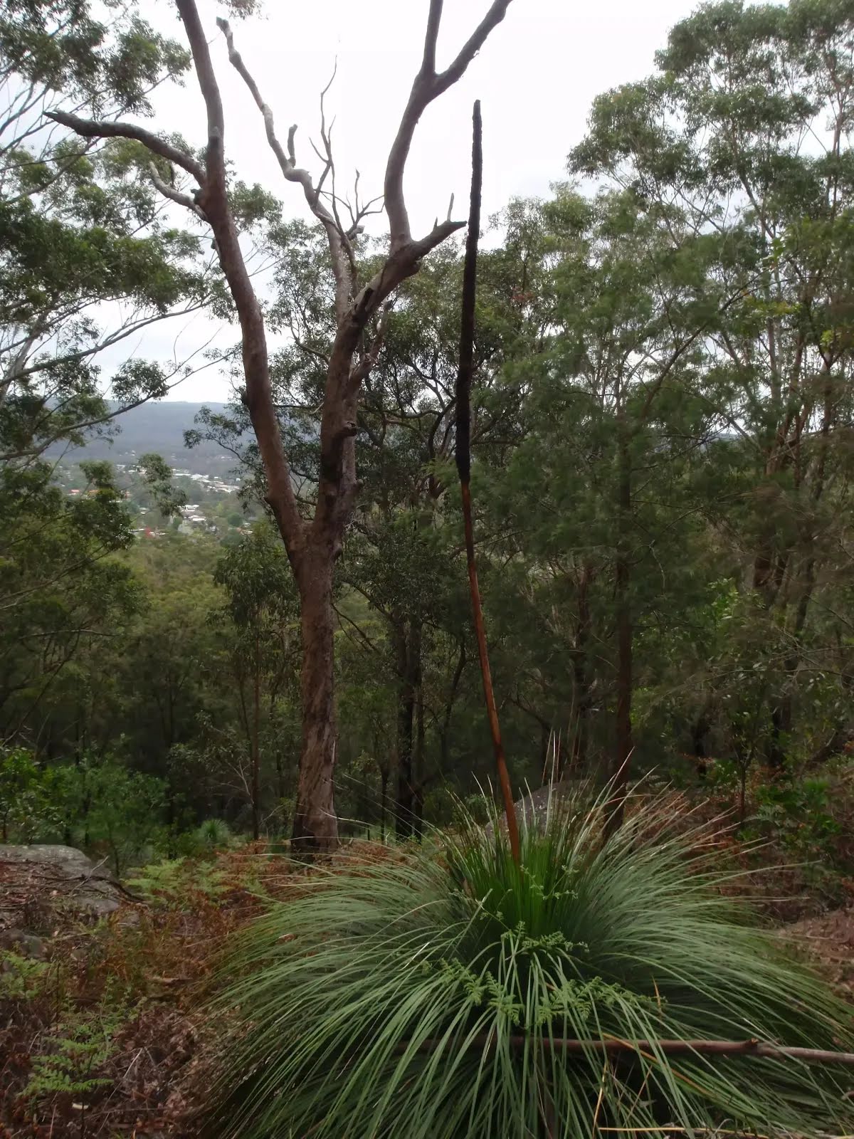
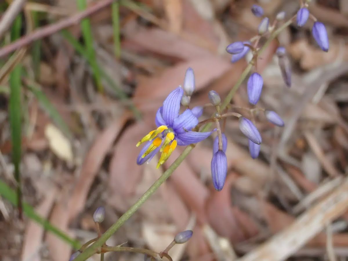
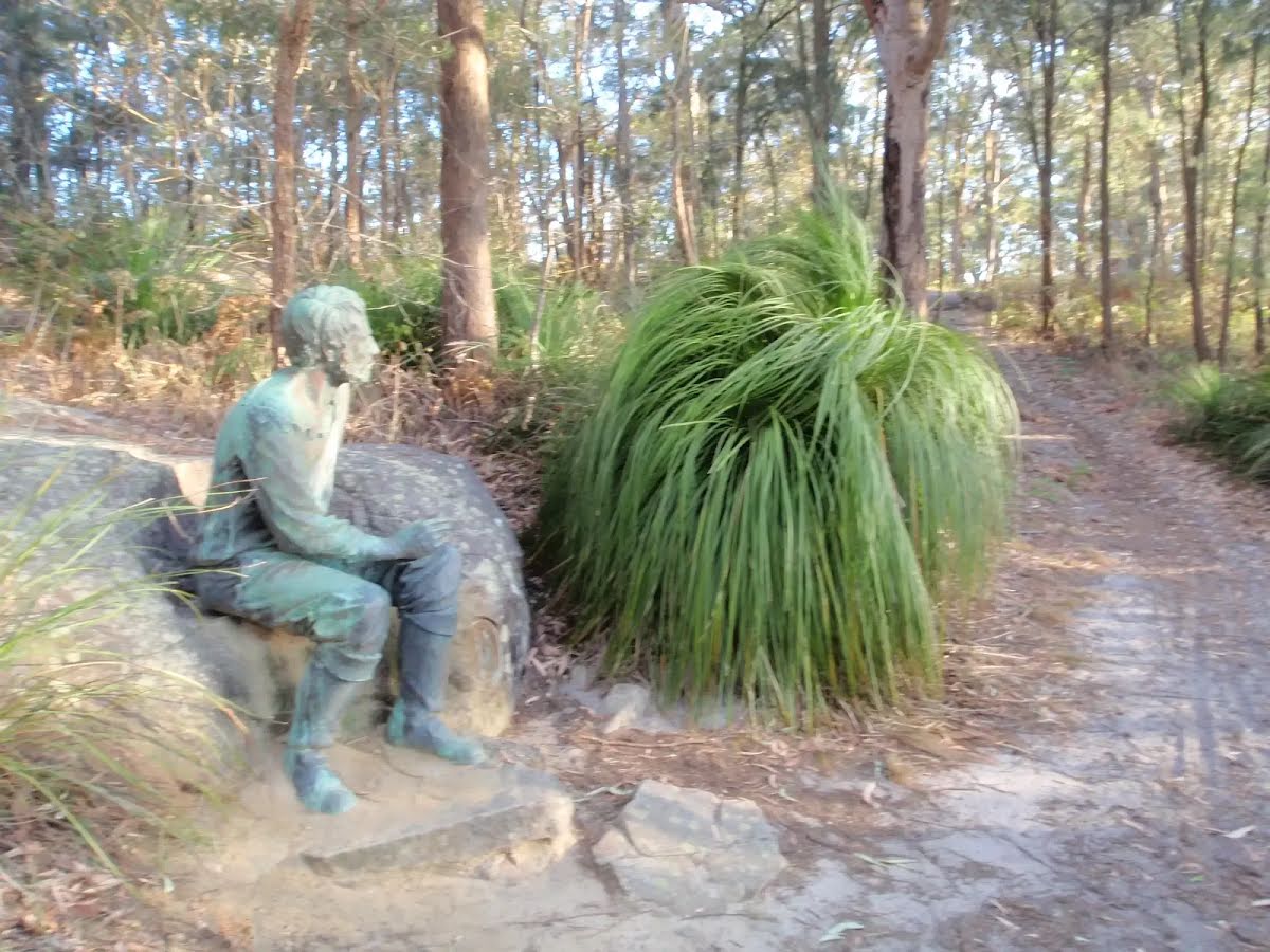
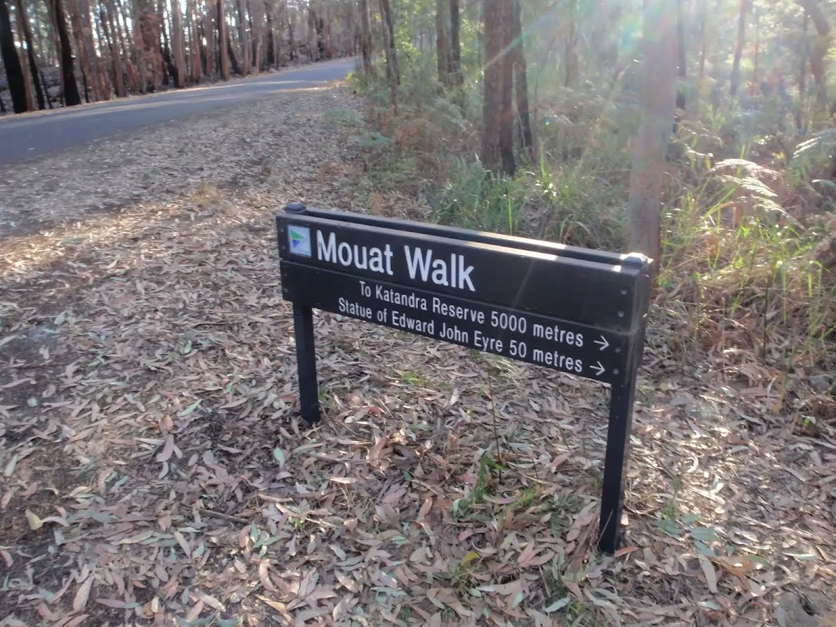
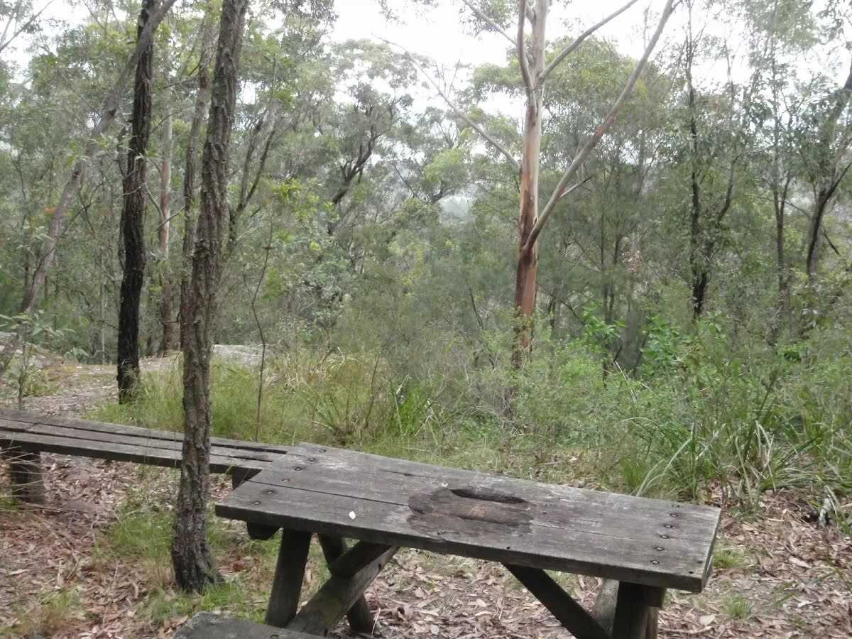
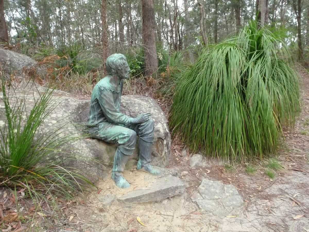
This walk follows a series of tracks and management trails along the top of the ridge between Katandra and Rumbalara Reserves. You will at times think you are a million miles from anywhere and other times enjoy views across the suburbs of the Central Coast and out to sea. In spring and early summer, you will discover many wildflowers. There are a few picnic tables with views, great spots for a snack and a rest on your walk. Let us begin by acknowledging the Darkinjung & Guringai people, Traditional Custodians of the land on which we travel today, and pay our respects to their Elders past and present. 
Show all
St Johns Picnic area car park. | Photo by admin, 2009.
Walking through clearing. | Photo by admin, 2009.
Signs at southern end of picnic area. | Photo by admin, 2009.
Intersection of Graves and Mouat walks. | Photo by admin, 2009.
Mouat walk track. | Photo by admin, 2009.
Intersection of Graves Walk and Maidens Brush management trail. | Photo by admin, 2009.
Mouat Walk. | Photo by admin, 2009.
Ferns along Mouat Walk. | Photo by admin, 2009.
Gently winding track. | Photo by admin, 2009.
Steep cliff beside Mouat Walk. | Photo by admin, 2009.
Intersection of Mouat and Toomeys Rd Trails. | Photo by admin, 2009.
Toomeys Rd Trail. | Photo by admin, 2009.
Toomeys Rd Trail near dirt and rock stock pile. | Photo by admin, 2009.
Private gate on Toomeys Rd Trail. | Photo by admin, 2009.
North of Erina Trig. | Photo by admin, 2009.
Erina Trig. | Photo by admin, 2009.
Track south of Erina Trig. | Photo by admin, 2009.
Intersection just south of Erina Trig. | Photo by admin, 2009.
locked gate beside walk. | Photo by admin, 2009.
View above Marana Rd. | Photo by admin, 2009.
Banksia. | Photo by admin, 2009.
Track on the ridge. | Photo by admin, 2009.
Old Picnic Table. | Photo by admin, 2009.
Track winding around the rock. | Photo by admin, 2009.
Crossing a long saddle. | Photo by admin, 2009.
Dipodium punctatum (Hyacinth orchid). | Photo by admin, 2009.
Walking along the ridge. | Photo by admin, 2009.
130 Picnic table. | Photo by admin, 2009.
View across Brisbane Water. | Photo by admin, 2009.
Steps through cleft in the rock. | Photo by admin, 2009.
Photo by admin, 2009.
Powerline intersection. | Photo by admin, 2009.
Winding up through the rocks. | Photo by admin, 2009.
Walking along the ridge on the Mouat walk. | Photo by admin, 2009.
View from the track. | Photo by admin, 2009.
Dianella Flower in early summer. | Photo by admin, 2009.
Edward John Eyre sculpture. | Photo by admin, 2009.
Southern end of the Mouat Walk. | Photo by admin, 2009.
Map Notes Terrain Reviews Conditions More
Downloads GPX PDF

Some of the information and maps on this page was generated using data from the awesome © OpenStreetMap contributors.
Please see how you can embed some widgets, access data and other stuff to that might be helpful.