| Turn map |
Directions & comments |
|
|

Start.

After another 15 m head down the steps (about 70 m long)

After another 35 m pass the car park (25 m on your right).

Then pass the water tap (25 m on your right).
|
|
|

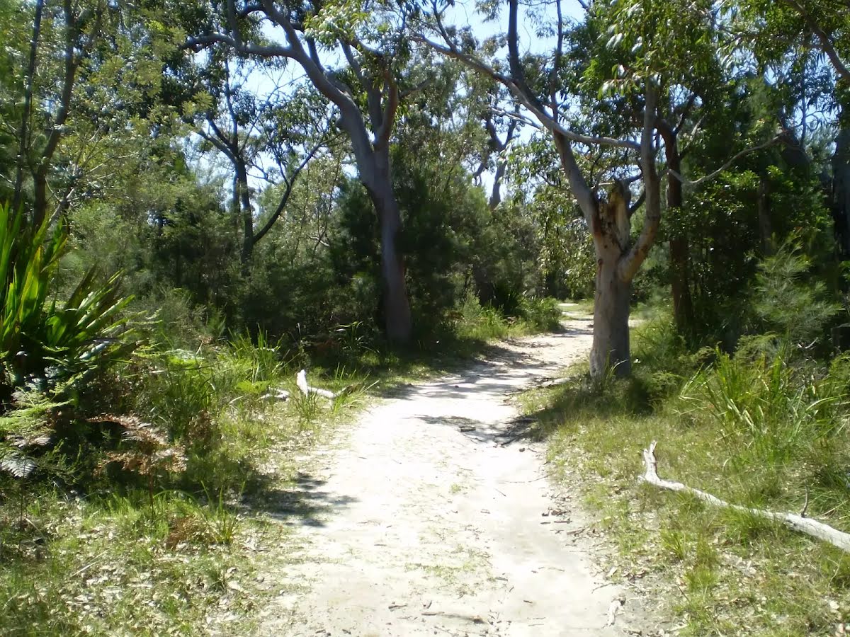
From the Ramp turn left, to head along Ramp (a walking track).
|
|
|
After another 75 m (at the intersection of Beaumont Road & Station Road Fire Trail) turn left, to head along Station Road Fire Trail.
|
|
|

After another 215 m (at the intersection of Station Road Fire Trail & Lady Carrington Road) continue straight, to head along Fanshawe Road.
After another 220 m (from the Fanshawe Road) continue straight, to head along Fanshawe Road.
|
|
|
After another 80 m (at the intersection of Lady Wakehurst Drive & Fanshawe Road) turn left, to head along Lady Wakehurst Drive (a road).

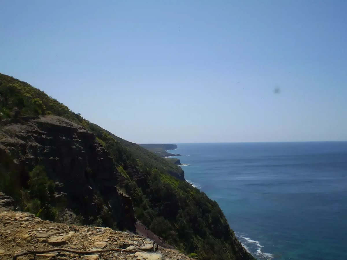
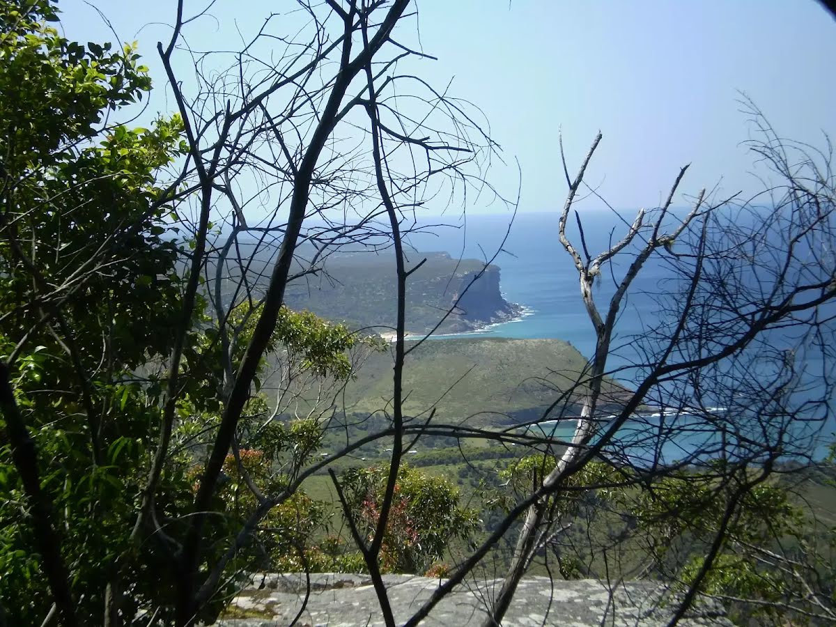
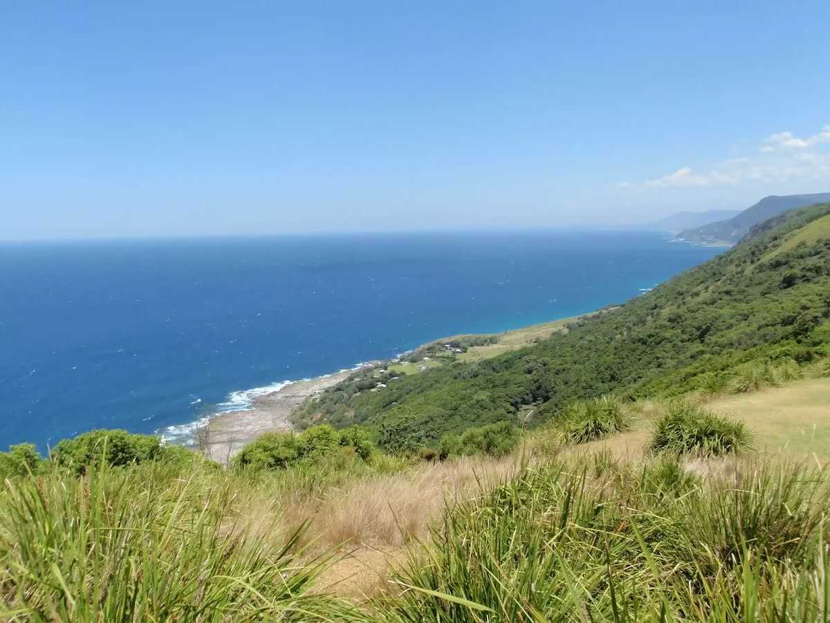
After another 255 m find the "Otford Lookout" (on your right).

Then pass the park (9 m on your right).
|
|
|

From the Lady Wakehurst Drive turn right (a service road).

After another 50 m pass the sign (on your right).
|
|
|

After another 250 m (at the intersection of Werrong Beach Track & Cliff Track) veer left, to head along Cliff Track.
After another 30 m pass the "Werrong Beach Track" (on your right).
|
|
|
After another 1.5 km (from the Garawarra Ridge Management Trail) continue straight, to head along Garawarra Ridge Management Trail.
After another 50 m pass the "Garrawarra Ridge" (8 m on your right).
|
|
|
After another 320 m (at the intersection of Garawarra Ridge Management Trail & Lilyvale Track) continue straight, to head along Garawarra Ridge Management Trail.

After another 1000 m pass the "Bulgo Hill" (45 m on your right).
After another 380 m (from the Garawarra Ridge Management Trail) continue straight, to head along Garawarra Ridge Management Trail.
|
|
|
After another 1.1 km (from the Garawarra Ridge Management Trail) continue straight, to head along Garawarra Ridge Management Trail.
|
|
|
After another 105 m (at the intersection of Burgh Ridge Track & Garawarra Ridge Management Trail) continue straight, to head along Garawarra Ridge Management Trail.
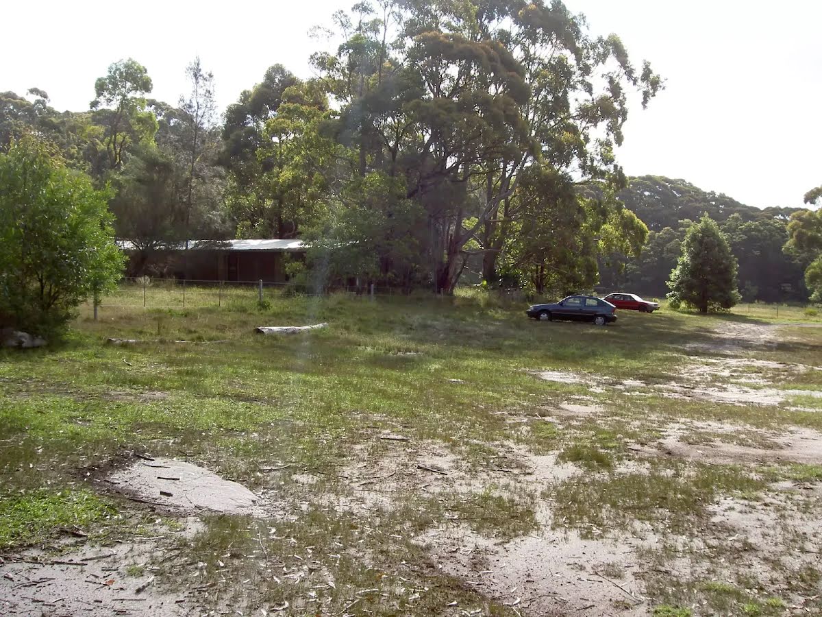
After another 20 m pass the "Garrawarra Farm Carpark" (20 m on your left).

After another 20 m head through/around the gate.
|
|
|
At the intersection of Garrawarra Farm Road & Garawarra Ridge Management Trail turn left (a service road).
|
|
|
After another 25 m continue straight.
|
|
|
After another 65 m (from the The Burgh Track) turn right, to head along The Burgh Track (a walking track).
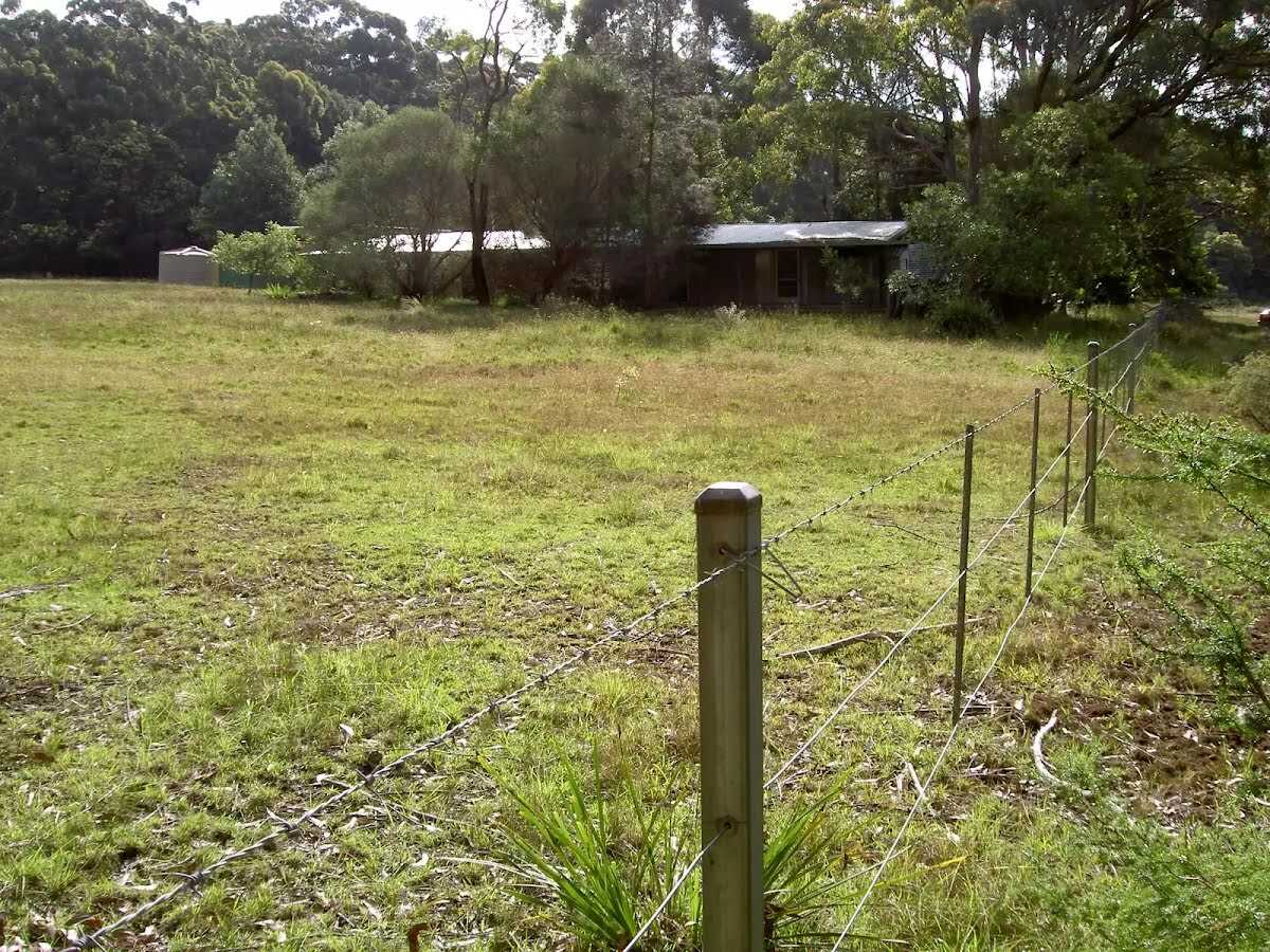
After another 135 m find the "Garawarra Farm" (25 m on your left).
|
|
|
After another 150 m (at the intersection of Bola Heights Trail & The Burgh Track) veer left, to head along The Burgh Track.
|
|
|
After another 1.4 km (at the intersection of The Burgh Track & Lady Wakehurst Drive) continue straight, to head along The Burgh Track.
|
|
|
After another 570 m (from the The Burgh Track) turn right, to head along The Burgh Track (a vehicle track).
|
|
|
After another 900 m (from the The Burgh Track) continue straight, to head along The Burgh Track.
|
|
|
After another 680 m (from the The Burgh Track) veer left, to head along The Burgh Track.
|
|
|
After another 115 m (from the The Burgh Track) continue straight, to head along The Burgh Track.
|
|
|
After another 450 m (from the The Burgh Track) continue straight, to head along The Burgh Track.
After another 15 m (from the The Burgh Track) continue straight, to head along The Burgh Track.
After another 120 m head through/around the gate.
|
|
|
After another 80 m (from the The Burgh Track) continue straight, to head along The Burgh Track.
|
|
|

After another 215 m (from the The Burgh Track) veer right, to head along The Burgh Track.
|
|
|
After another 330 m (from the The Burgh Track) continue straight, to head along The Burgh Track.
After another 50 m (from the The Burgh Track) continue straight, to head along The Burgh Track.
|
|
|
After another 135 m (from the The Burgh Track) continue straight, to head along The Burgh Track.
|
|
|
After another 75 m (from the The Burgh Track) veer right (a vehicle track).
|
|
|
After another 30 m (from the Halls Road) turn left, to head along Halls Road (a residential road).
|
|
|
After another 45 m (at the intersection of Gardiner Place & Halls Road) continue straight, to head along Halls Road.
After another 110 m (at the intersection of Halls Road & Nixon Place) continue straight, to head along Halls Road.
|
|
|
After another 265 m (from the Halls Road) continue straight, to head along Halls Road.
|
|
|
After another 175 m (at the intersection of Parkes Street & Halls Road) turn right, to head along Parkes Street.
|
|
|
After another 25 m (at the intersection of Parkes Street & Camp Creek Lane) continue straight, to head along Parkes Street.
After another 245 m (at the intersection of Parkes Street & Foster Street) continue straight, to head along Parkes Street.
|
|
|
After another 135 m (at the intersection of Wilsons Creek Road & Parkes Street) turn right, to head along Wilsons Creek Road.
After another 65 m (from the Wilsons Creek Road) continue straight, to head along Wilsons Creek Road.

Then cross the bridge (about 4 m long)
|
|
|
From the Wilsons Creek Road turn left (a steps).

Then head up the steps (about 25 m long)
Then pass the water tap (20 m on your right).
|
|
|

After another 45 m come to the end.

About 30 m past the end is a toilet.
Mo-Fr daytime
|