Crosslands to Brooklyn

11 h to 2 days

27.5 km
oneway

↑ 1472 m
↓ -1472 m

Hard track
From the Crosslands Reserve, this walk heads along the Great North Walk via Berowra Waters, Cowan, Jerusalem Bay and onto Brooklyn. This is one of the prettiest multi-day walks in the area. The walk explores two rivers and ridge tops, giving a great variety of views. The campsite is not the best, and you will need to carry in water. Let us begin by acknowledging the Traditional Custodians of the land on which we travel today, and pay our respects to their Elders past and present.
Show all
Crosslands Reserve. | Photo by admin, 2007.
Berowra Creek just out of Crosslands. | Photo by admin, 2007.
Going up to Sam's Crk Intersection. | Photo by admin, 2007.
View from Naa Badu Lookout. | Photo by admin, 2007.
Berowra Waters. | Photo by admin, 2007.
Climbing up from Berowra Waters. | Photo by admin, 2007.
Looking Back on Berowra Waters. | Photo by admin, 2007.
Ridgetop Campsite. | Photo by admin, 2007.
Intersection at Glendale Rd. | Photo by admin, 2007.
Cowan Station Crossing. | Photo by admin
Bottle Brush. | Photo by admin
Jerusalem Bay. | Photo by admin
Boat on Cowan Creek at Jerusalem Bay. | Photo by admin
Brooklyn Dam. | Photo by admin
Brooklyn Train Station. | Photo by admin
Downloads GPX PDF

+
-
Safer Bushwalks
Tips on staying safe on track
Before you start any bushwalk ensure you;
• Tell someone you trust where you are going and what to do if you are overdue
• Have adequate equipment, supplies, skills & knowledge for the whole journey
• Consider the impact of weather forecasts, park/track closures & fire dangers
• Can respond to emergencies & call for help at any point
• Are healthy and fit enough for this journey
If not, change plans and stay safe. It is okay to delay and ask people for help.
+
-
Getting There
Transport options and directions
Start (-33.6274523,151.1102964)
Mode Car (There is free parking available.)
DirectionsFrom Pacific Motorway, M1
  • Turn on to Pacific Highway Offramp then drive for 3.8 km
  • Turn left onto Pacific Highway, B83 and drive for another 8.3 km
  • Keep right onto Pacific Highway, B83 and drive for another 75 m
  • Continue onto Peats Ferry Road and drive for another 780 m
  • Turn right onto Galston Road and drive for another 2.4 km
  • Turn right onto Somerville Road and drive for another 6.8 km
Finish (-33.5469917,151.2268245)
Mode (end) Car Shuttle   Bus   Car   (There is free parking available.) Train  
+
-
Track Notes
Turn by turn instructions & maps
Getting started
From the car park, this walk follows the flat dirt path between the road (on the right) and creek (on the left). The path leads through the casuarina trees for about 120m to pass the boat ramp. After another 120m this walk comes to a locked gate at the northern end of the car park. There is also a wetland through the trees to the right worth noticing.....
Turn map Directions & comments
Start.
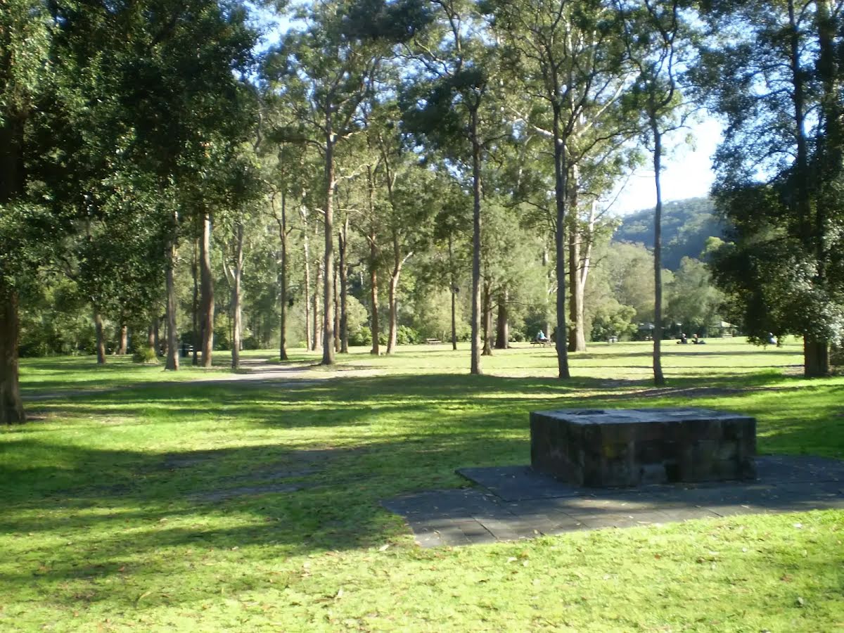
There is a car park (about 6 m back from the start).
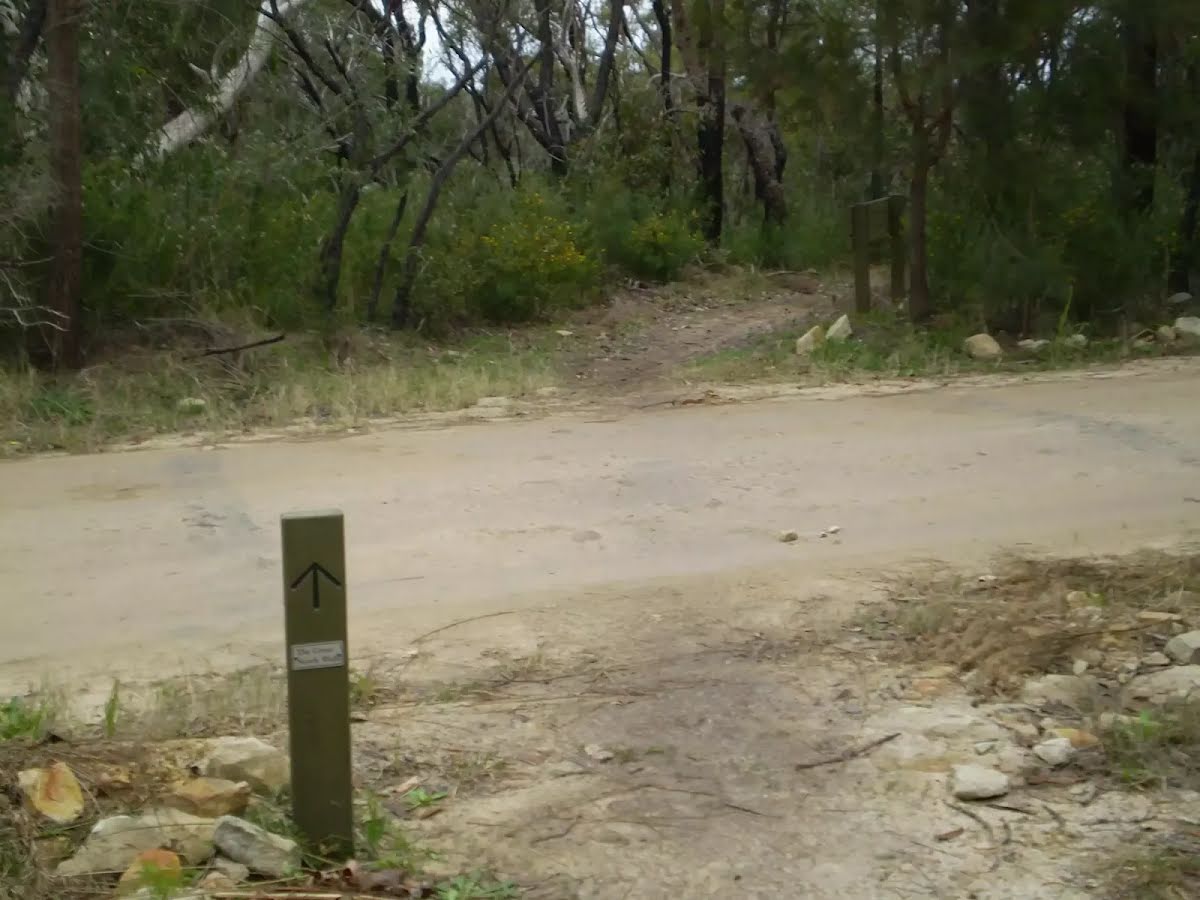
Find the bollard at the start.
After another 40 m (at the intersection of Benowie Walking Track & Somerville Road) turn right, to head along Benowie Walking Track (a vehicle track).
Then head through/around the gate.
After another 5 m continue straight, to head along Benowie Walking Track.
After another 8 m find the "Wheelchair Rough" (on your left).
Wheelchair Rough
Wheelchair Rough

Link from carpark to path is across exposed ground (muddy after rain) and between timber bollards that are 80cm high and 1.5m apart.
+
-
Link from carpark to path is across exposed ground (muddy after rain) and between timber bollards that are 80cm high and 1.5m apart.

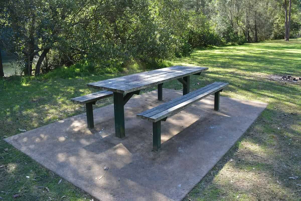
After another 50 m find the "Picnic Table" (on your right).
Picnic Table
Picnic Table

A timber slat picnic table and bench seat. The table is 77cm high, 73cm deep and 2.4m wide. The seats are 47cm high, 29cm deep and 2.4m wide. On a conrete slab (3x5.5m) and about 7m (across grass) from the path.
+
-
A timber slat picnic table and bench seat. The table is 77cm high, 73cm deep and 2.4m wide. The seats are 47cm high, 29cm deep and 2.4m wide. On a conrete slab (3x5.5m) and about 7m (across grass) from the path.

After another 45 m pass the "tap" (on your right).
After another 90 m find the "Picnic Table" (25 m on your left).
Picnic Table
Picnic Table

A timber slat picnic table and bench seats. The table is 77cm high, 73cm deep and 2.4m wide. The seats are 47cm high, 29cm deep and 2.4m wide. On a conrete slab (2.7x4m) and about 16m (across grass) from the path.
+
-
A timber slat picnic table and bench seats. The table is 77cm high, 73cm deep and 2.4m wide. The seats are 47cm high, 29cm deep and 2.4m wide. On a conrete slab (2.7x4m) and about 16m (across grass) from the path.

After another 40 m continue straight.
After another 25 m turn right, to head along The Great North Walk.
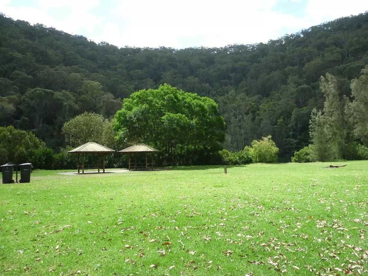
After another 15 m find the "Crosslands North Picnic area" (10 m on your left).
Crosslands North Picnic area

The northern section of Crosslands is in Berowra Valley NP and is a less formal picnic area compared with the southern area. There is a toilet block and a few sandy beaches with direct access to the water. Here you will find a few picnic tables and shelters, as well as garbage bins. The eastern side is home to a boardwalk exploring the estuarine wetland. A pleasant area to rest and enjoy the water. Fires are only permitted in formally established fire places .
+
-
The northern section of Crosslands is in Berowra Valley NP and is a less formal picnic area compared with the southern area. There is a toilet block and a few sandy beaches with direct access to the water. Here you will find a few picnic tables and shelters, as well as garbage bins. The eastern side is home to a boardwalk exploring the estuarine wetland. A pleasant area to rest and enjoy the water. Fires are only permitted in formally established fire places .

After another 20 m find the "Trip Hazard" (on your left).
Trip Hazard
Trip Hazard

There is a 4cm step from between the dirt path and the northern end of the timber boardwalk.
+
-
There is a 4cm step from between the dirt path and the northern end of the timber boardwalk.

Then cross the bridge (about 55 m long)
After another 75 m cross the bridge (about 80 m long)
Continue straight, to head along The Great North Walk.
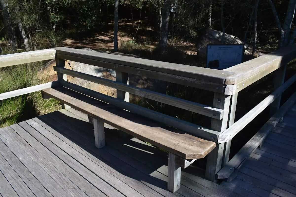
After another 10 m pass a seat (10 m on your left)., has a backrest.
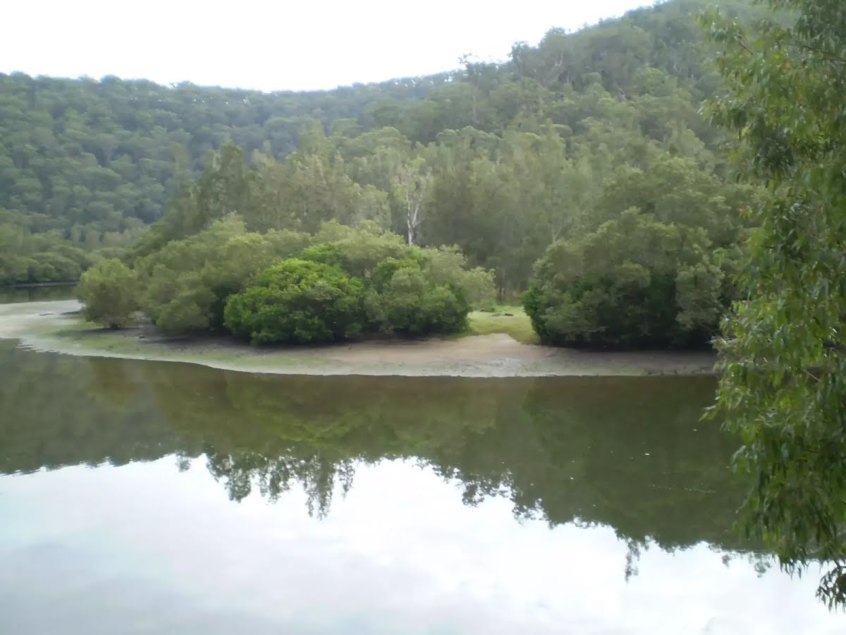
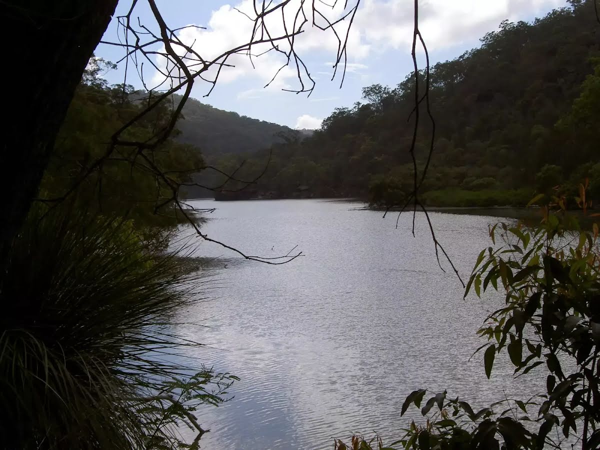
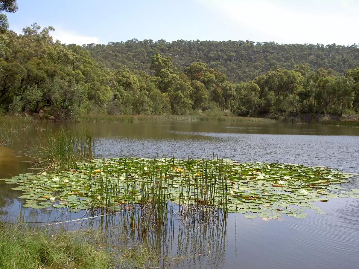
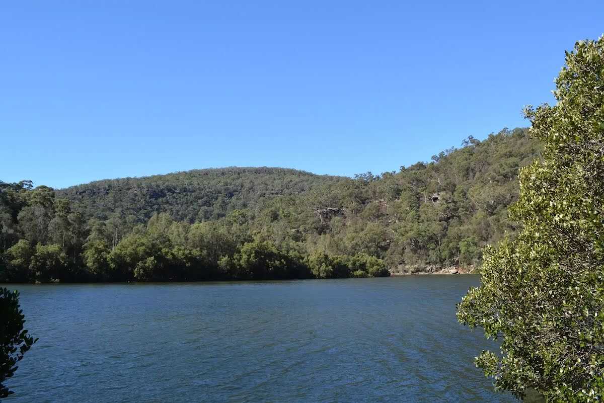
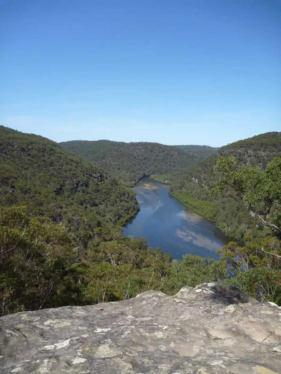
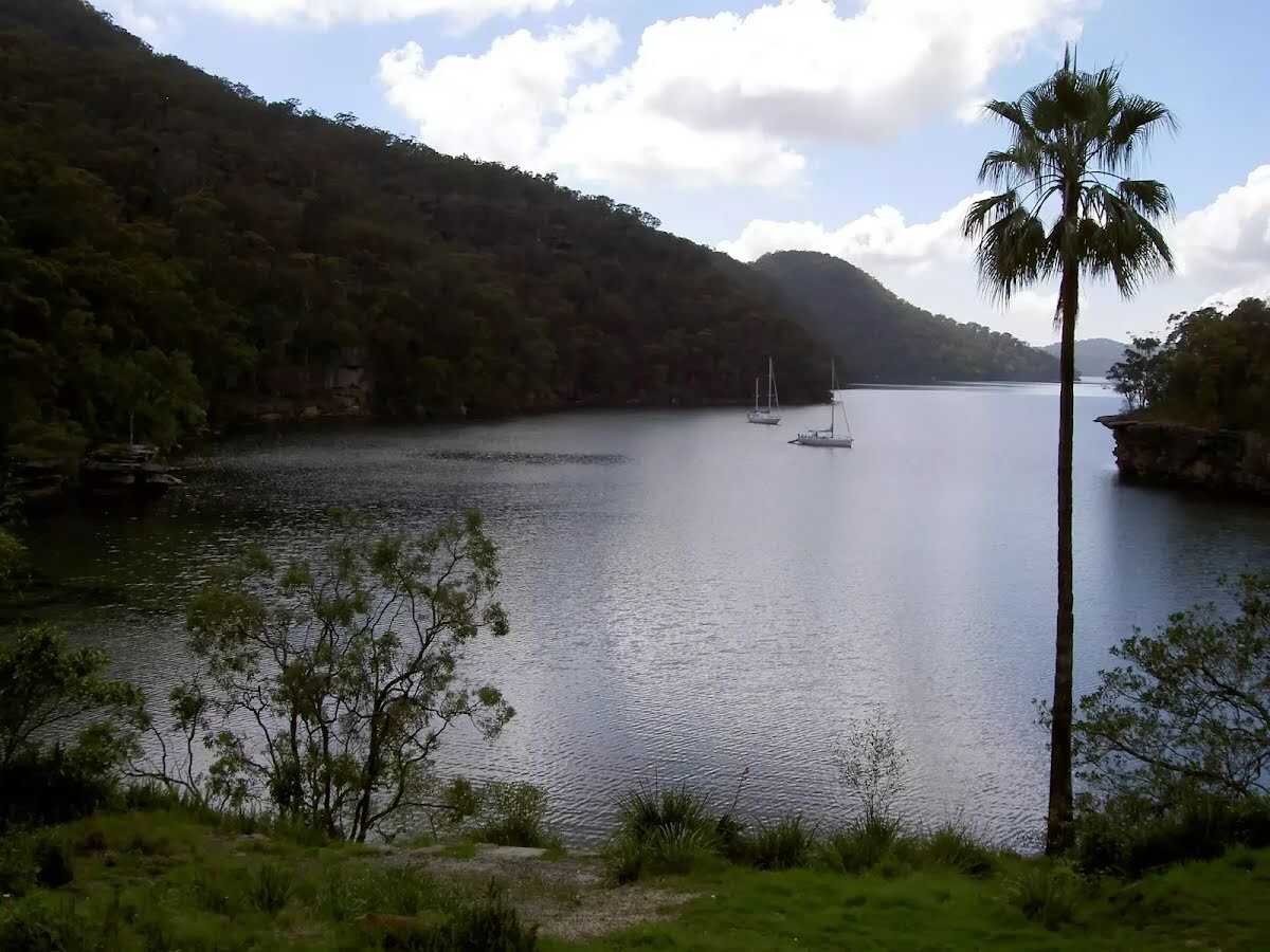
After another 15 m find the "Berowra Creek (Estuarie) Lookout" (on your left).
Berowra Creek (Estuarie) Lookout

The Estuarie lookout over Berowara Creek is found at the end of the wheelchair-accessible walk in Crosslands area. The timber lookout platform provides great views over Berowra Creek, the timber fence is 95cm high. There are also information signs about the local flora and fauna and the 'Original Inhabitants'. There are two timber bench seats encouraging you to take some time to soak up this view.
+
-
The Estuarie lookout over Berowara Creek is found at the end of the wheelchair-accessible walk in Crosslands area. The timber lookout platform provides great views over Berowra Creek, the timber fence is 95cm high. There are also information signs about the local flora and fauna and the 'Original Inhabitants'. There are two timber bench seats encouraging you to take some time to soak up this view.

Then find the "Seat" (15 m on your left).
Seat
Seat

Two timber slat bench seats built into timber viewing platform. Each seat are 41cm high, 28cm deep and 2.5m wide with a 54cm high backrest.
+
-
Two timber slat bench seats built into timber viewing platform. Each seat are 41cm high, 28cm deep and 2.5m wide with a 54cm high backrest.

After another 220 m cross the bridge (about 15 m long)
After another 165 m pass a seat (on your right)., has a backrest.
Continue straight.
After another 15 m continue straight, to head along The Great North Walk.
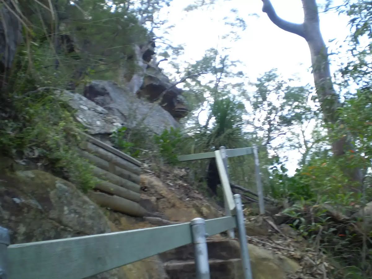
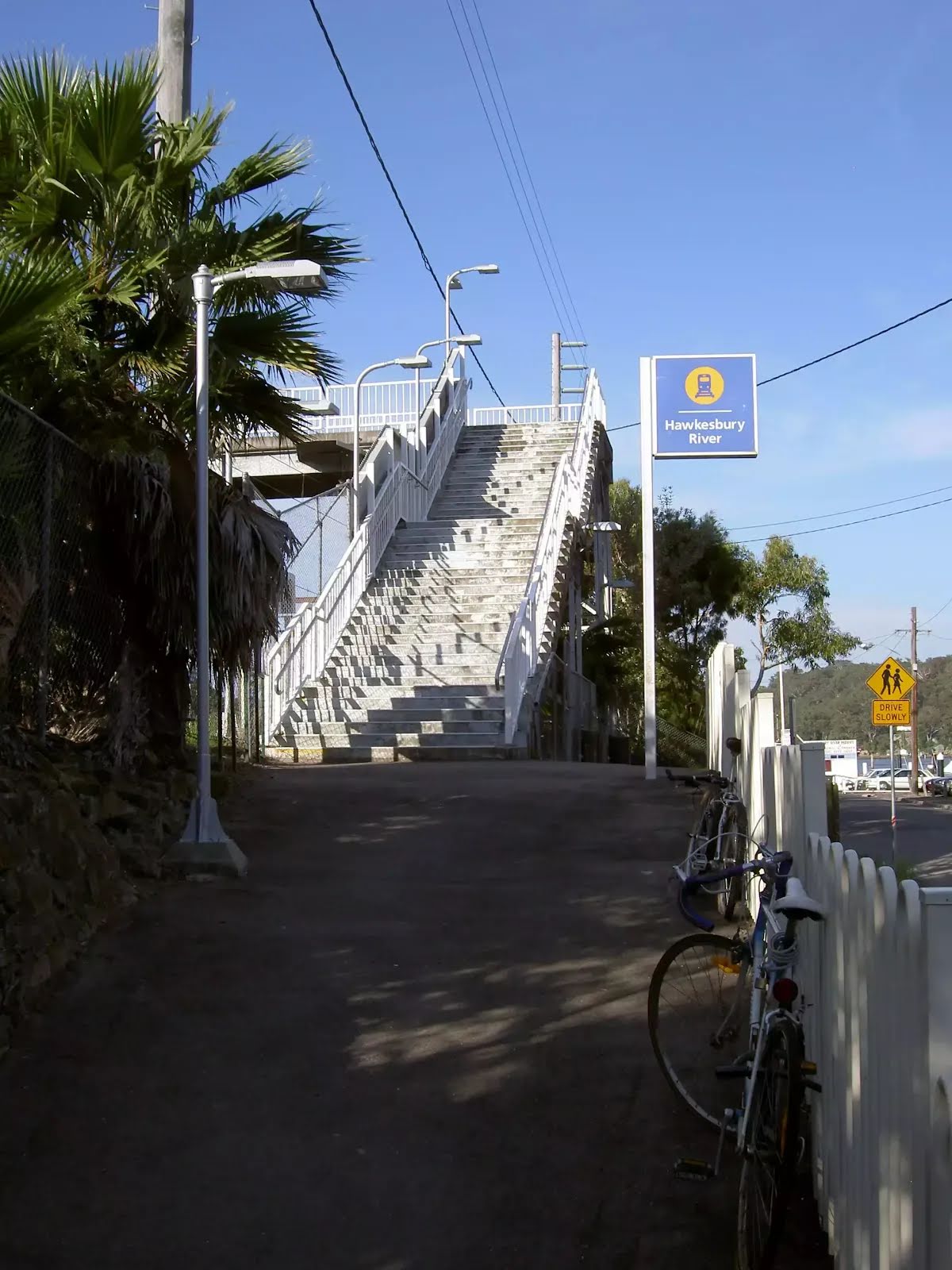
After another 165 m head up the 65 steps (about 55 m long)
After another 20 m continue straight, to head along The Great North Walk.
After another 15 m head down the 72 steps (about 55 m long)
Continue straight, to head along The Great North Walk.
After another 15 m pass a seat (on your left)., has no backrest.
After another 7 m cross the Calna Creek Bridge (about 30 m long)
After another 3 m (at the intersection of Lyrebird Gully Track & The Great North Walk) continue straight, to head along The Great North Walk.
After another 1.1 km continue straight, to head along The Great North Walk.
After another 500 m cross the ford.
At the intersection of Sams Creek Track & The Great North Walk continue straight, to head along The Great North Walk.
After another 40 m head up the 10 earthen steps (about 3 m long)
After another 40 m head up the 18 earthen steps (about 5 m long)
After another 20 m head up the 31 earthen steps (about 10 m long)
After another 45 m head up the 41 earthen steps (about 15 m long)
After another 40 m head up the 24 earthen steps (about 15 m long)
After another 90 m head up the 11 stone steps (about 7 m long)
After another 110 m head up the 30 stone steps (about 10 m long)
After another 10 m head up the 30 surface|wood steps (about 15 m long)
After another 15 m head up the 37 stone steps (about 10 m long)
Then head up the 8 surface|wood steps (about 7 m long)
Then head up the 7 earthen steps (about 5 m long)
After another 105 m (at the intersection of Berkeley Firetrail & The Great North Walk) turn left, to head along Berkeley Firetrail (a vehicle track).
After another 245 m continue straight, to head along Berkeley Firetrail.
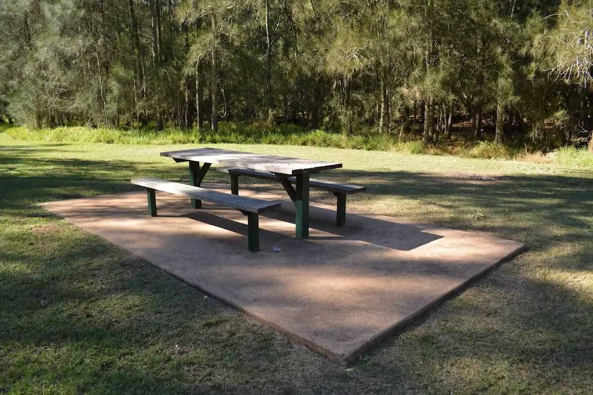
After another 55 m pass the picnic table (15 m on your left).
Then pass the sign (15 m on your left).
After another 8 m pass a seat (20 m on your left)., has a backrest.
Then find the "Naa Badu Lookout" (on your left).
Naa Badu Lookout
Naa Badu Lookout

Naa Badu Lookout offers magnificent views south over Berowra Creek as well as over Sams and Calna Creeks. Naa Badu means 'See water' in the Aboriginal tribal language of the Dharug people. It is believed that Berowra Creek was the boundary between the Dharug and Guringai Aboriginal peoples. The lookout is fenced, has a bench seat, picnic table and a fair amount of natural shade.
+
-
Naa Badu Lookout offers magnificent views south over Berowra Creek as well as over Sams and Calna Creeks. Naa Badu means 'See water' in the Aboriginal tribal language of the Dharug people. It is believed that Berowra Creek was the boundary between the Dharug and Guringai Aboriginal peoples. The lookout is fenced, has a bench seat, picnic table and a fair amount of natural shade.

After another 520 m (at the intersection of Berkeley Firetrail & The Great North Walk) turn left, to head along The Great North Walk (a walking track).
After another 7 m head down the 23 earthen steps (about 15 m long)
After another 8 m head down the 14 earthen steps (about 6 m long)
After another 15 m cross the bridge (about 10 m long)
Then head up the 17 earthen steps (about 9 m long)
After another 30 m head up the 19 earthen steps (about 9 m long)
After another 170 m pass a seat (on your right)., has a backrest.
After another 55 m cross the ford.
After another 45 m head up the 37 earthen steps (about 15 m long)
After another 15 m head up the 27 stone steps (about 10 m long)
After another 120 m veer left, to head along The Great North Walk.
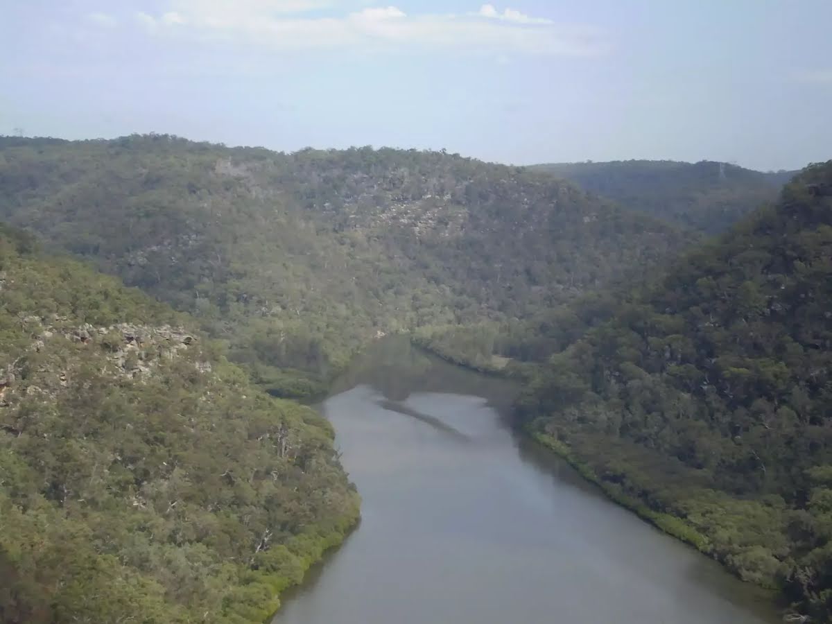
After another 1.1 km come to the viewpoint (5 m on your left).
After another 60 m head down the 11 earthen steps (about 20 m long)
Then head down the 27 stone steps (about 15 m long)
After another 15 m come to the viewpoint (on your left).
Continue straight, to head along The Great North Walk.
Then head down the 5 earthen steps
After another 25 m head down the 27 earthen steps (about 10 m long)
After another 20 m head down the 7 stone steps
After another 145 m cross the ford.
After another 245 m head down the 13 earthen steps (about 15 m long)
After another 15 m pass the "Berowra Waters Garden House - closed" (15 m on your left).
After another 30 m find the "Berowra Waters Garden House" (25 m on your left).
Berowra Waters Garden House

#######CLOSED###### This picturesque little restaurant sits on the eastern side of Berowra Creek and is just a hop, skip and a jump from the ferry. With breakfast, lunch and dinner menus, the Garden House Restaurant is a great spot for those looking to tap into the Berowra Valley's full potential. For information on bookings and opening hours phone (02)9456 2955.
+
-
#######CLOSED###### This picturesque little restaurant sits on the eastern side of Berowra Creek and is just a hop, skip and a jump from the ferry. With breakfast, lunch and dinner menus, the Garden House Restaurant is a great spot for those looking to tap into the Berowra Valley's full potential. For information on bookings and opening hours phone (02)9456 2955.

Then head down the 4 stone steps
After another 4 m (at the intersection of Kirkpatrick Way & Berowra Waters Road) continue straight, to head along Kirkpatrick Way (a residential road).
After another 45 m pass the water tap (15 m on your right).
After another 15 m pass the toilet (20 m on your right).
After another 75 m continue straight, to head along Kirkpatrick Way.
After another 105 m head through/around the gate.
After another 630 m pass a seat (on your left)., has no backrest.
Then head up the 26 earthen steps (about 8 m long)
After another 25 m head up the 28 earthen steps (about 10 m long)
After another 235 m (at the intersection of Alston Drive - GNW Track & The Great North Walk) continue straight, to head along The Great North Walk.
After another 155 m cross the ford.
After another 250 m cross the ford.
After another 360 m pass a "The Roland Murray Bench" (on your right)., has no backrest.
After another 440 m (at the intersection of Great North Walk - Firetrail & The Great North Walk) continue straight, to head along Great North Walk - Firetrail (a vehicle track).
After another 215 m (at the intersection of Turner Firetrail & Great North Walk - Firetrail) turn left, to head along The Great North Walk (a walking track).
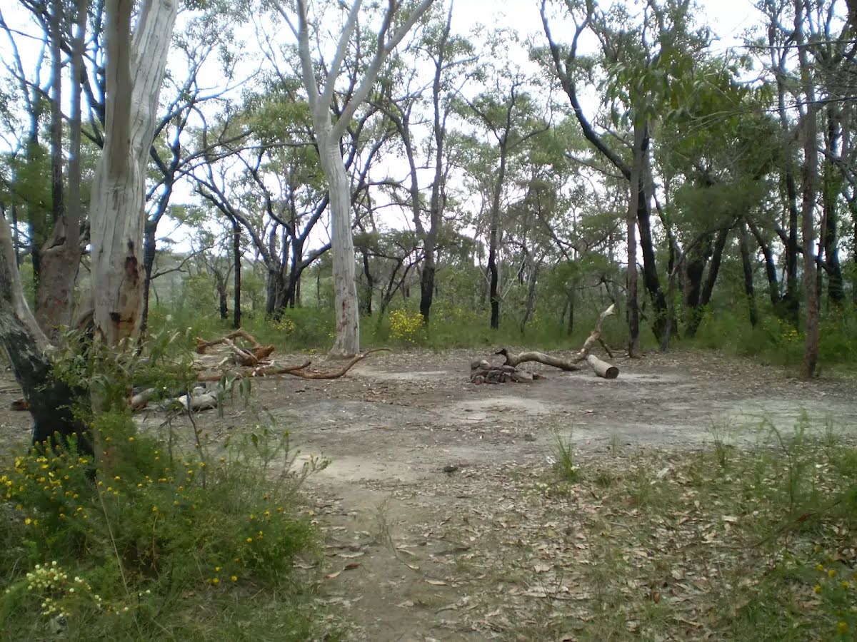
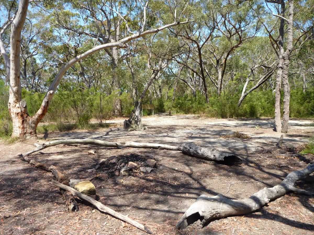
After another 185 m find the "Ridge Top Campground" (8 m on your right).
Ridge Top Campground

About 800m from Turners Rd, Berowra Heights lies this pleasant ridge top campsite. This is a fairly popular campsite on the Great North Walk, providing a flat area with plenty of shade. There are no facilities (or water) at this large campsite. A faint track leads west from the campsite to an unfenced cliff with great views over the Berowra Waters Valley.
+
-
About 800m from Turners Rd, Berowra Heights lies this pleasant ridge top campsite. This is a fairly popular campsite on the Great North Walk, providing a flat area with plenty of shade. There are no facilities (or water) at this large campsite. A faint track leads west from the campsite to an unfenced cliff with great views over the Berowra Waters Valley.

After another 25 m (at the intersection of Firetrail & The Great North Walk) continue straight, to head along The Great North Walk.
After another 145 m veer left, to head along The Great North Walk.
After another 285 m come to the viewpoint (30 m on your left).
After another 55 m continue straight, to head along The Great North Walk.
After another 1 km cross the ford.
After another 380 m head up the 9 surface|wood steps
After another 105 m pass a seat (7 m on your right).
After another 195 m veer left, to head along The Great North Walk.
After another 15 m pass a seat (15 m on your right)., has a backrest.
Then come to the viewpoint (15 m on your right).
After another 530 m (at the intersection of Glendale Trail & The Great North Walk) turn left, to head along Glendale Trail (a vehicle track).
After another 40 m (at the intersection of The Great North Walk & Glendale Trail) turn right, to head along The Great North Walk (a walking track).
After another 295 m (at the intersection of Glendale Road & The Great North Walk) continue straight, to head along The Great North Walk.
After another 840 m cross the bridge (about 4 m long)
After another 35 m (at the intersection of Cowan Trail & The Great North Walk) continue straight, to head along Cowan Trail (a vehicle track).
After another 490 m head through/around the gate.
After another 1 m (at the intersection of Pacific Highway & Cowan Trail) continue straight (a walking track).
After another 20 m to find the car park.
After another 115 m pass the toilet (15 m on your left).

Mo-Fr
Then head down the 13 steps (about 3 m long)
After another 15 m turn left, to head along Jerusalem Bay Track.
After another 130 m turn right, to head along Jerusalem Bay Track.
After another 50 m cross the bridge (about 50 m long)
Then pass the "Great North Walk" (6 m on your left).
After another 280 m head down the 4 surface|wood steps (about 10 m long)
After another 30 m cross the ford.
After another 100 m find the "Aboriginal rock engravings" (60 m on your right).
Aboriginal rock engravings

Located just a short walk from the Great North Walk, these Aboriginal rock engravings are on a large rock platform and consist of three definable carvings, a man, a whale and a bird.
+
-
Located just a short walk from the Great North Walk, these Aboriginal rock engravings are on a large rock platform and consist of three definable carvings, a man, a whale and a bird.

After another 470 m cross the ford.
After another 195 m cross the ford.
After another 620 m continue straight, to head along Jerusalem Bay Track.
After another 440 m turn left, to head along Jerusalem Bay Track.
Then head up the 11 earthen steps (about 3 m long)
Continue straight, to head along Jerusalem Bay Track.
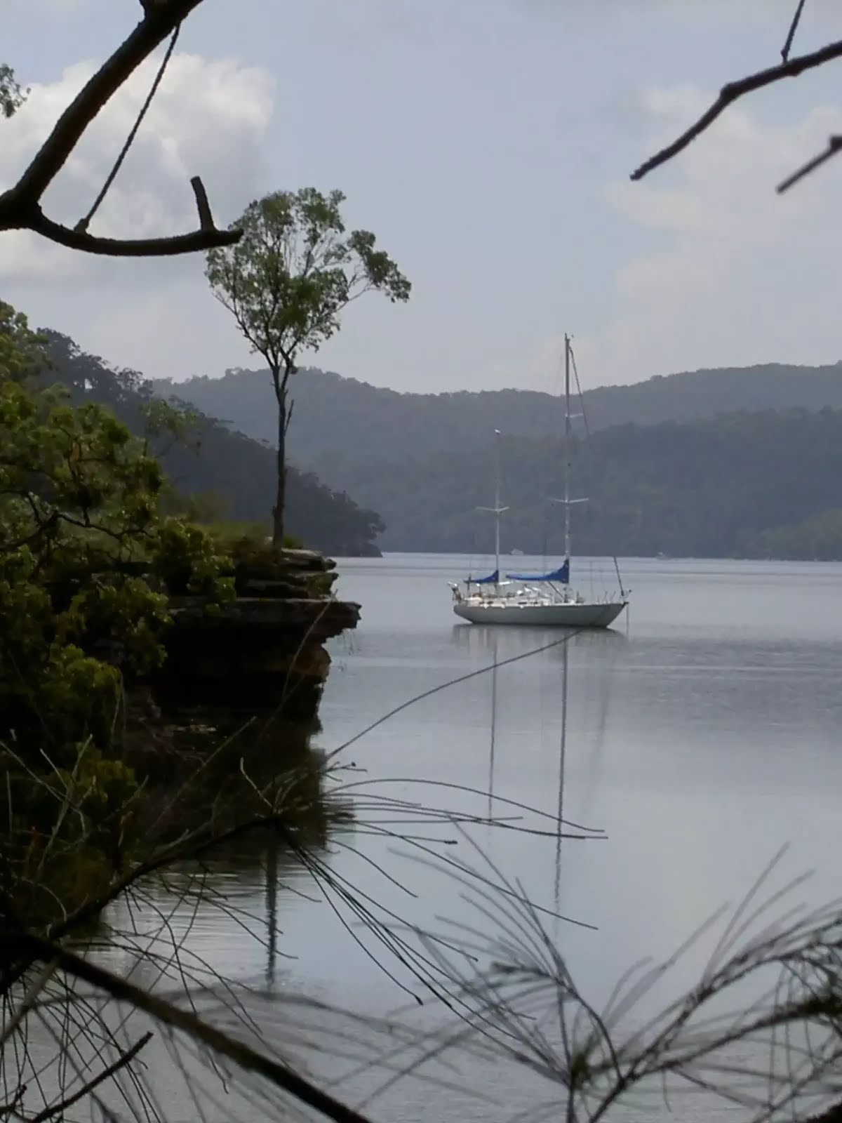
After another 15 m find the "Jerusalem Bay" (on your right).
Jerusalem Bay
Jerusalem Bay

Jerusalem Bay, Ku-ring-gai National Park, is a nice bay east of Cowan Station. The bay is popular with bushwalkers as it is part of the Great North Walk. The bay is sometimes known for an iconic photo of the single palm in front of the water. The bay itself is also popular with boaters who can anchor in the bay. Jerusalem Bay can be accessed by the Hawkesbury River and Broken Bay or from Brooklyn or Cowan Railway Stations.
+
-
Jerusalem Bay, Ku-ring-gai National Park, is a nice bay east of Cowan Station. The bay is popular with bushwalkers as it is part of the Great North Walk. The bay is sometimes known for an iconic photo of the single palm in front of the water. The bay itself is also popular with boaters who can anchor in the bay. Jerusalem Bay can be accessed by the Hawkesbury River and Broken Bay or from Brooklyn or Cowan Railway Stations.

After another 6 m (at the intersection of Jerusalem Bay Track & Jerusalem Bay Foottrack) continue straight.
After another 320 m cross the bridge (about 2 m long)
After another 150 m pass a seat (7 m on your right)., has no backrest.
After another 610 m pass a seat (on your right)., has no backrest.
After another 30 m (at the intersection of Taffys Rock Track & Campbells Crater Track) continue straight.
After another 760 m head down the earthen steps (about 4 m long)
Then cross the ford.
After another 1.3 km turn right, to head along The Great North Walk.
After another 20 m pass the "Log book" (on your left).
After another 180 m continue straight, to head along The Great North Walk.
After another 60 m come to the viewpoint (15 m on your left).
After another 270 m continue straight, to head along The Great North Walk.
After another 360 m veer left, to head along The Great North Walk.
After another 500 m continue straight, to head along The Great North Walk.
After another 325 m continue straight, to head along The Great North Walk.
After another 1.1 km continue straight, to head along The Great North Walk.
After another 295 m (at the intersection of Brooklyn Dam Trail & The Great North Walk) turn right, to head along Brooklyn Dam Trail.
After another 240 m continue straight, to head along Brooklyn Dam Trail.
After another 290 m continue straight, to head along Brooklyn Dam Trail.
After another 105 m continue straight, to head along Brooklyn Dam Trail.
After another 370 m continue straight, to head along Brooklyn Dam Trail.
The starting point of an alternate route. An alternative route linking NW Brooklyn Dam Campsite to NE Brooklyn Dam Campsite. To take the alternate route turn left here. Details below.
After another 40 m continue straight, to head along Brooklyn Dam Trail.
After another 75 m continue straight, to head along Brooklyn Dam Trail.
After another 280 m cross the ford.
After another 190 m cross the ford.
The alternate route finishes here. Turn left to rejoin the main route at the 24.4 km waypoint. Details below.
After another 240 m continue straight, to head along Brooklyn Dam Trail.
After another 520 m continue straight, to head along Brooklyn Dam Trail.
After another 110 m continue straight, to head along Brooklyn Dam Trail.
After another 60 m continue straight, to head along Brooklyn Dam Trail.
After another 235 m veer left.
After another 130 m turn left, to head along Brooklyn Dam Trail.
After another 280 m continue straight, to head along Brooklyn Dam Trail.
After another 190 m continue straight, to head along Brooklyn Dam Trail.
After another 170 m continue straight, to head along Brooklyn Loop Firetrail.
After another 910 m continue straight, to head along Brooklyn Loop Firetrail.
After another 125 m head through/around the gate.
After another 55 m (at the intersection of William Street & George Street) turn left, to head along George Street (a vehicle track).
After another 75 m continue straight, to head along Bridge Street.
After another 80 m (at the intersection of Bridge Street & Wambool Place) continue straight, to head along Bridge Street.
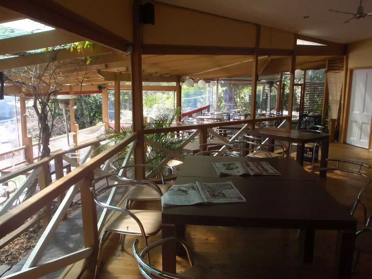
After another 115 m find the "Brooklyn Accomodation" (20 m on your left).
Brooklyn Accomodation

Brooklyn is a lovely little village with plenty of holiday style accommodation. There are several small cafe/restaurants in the area, good choice for cooked meals. There are two options for overnight visits, both need to be booked in advance. Brooklyn Motel: Newly renovated accommodation on Bridge St,nearly opposite The Anglers Rest. This studio style accommodation starts from $120 per night with a spa, television and free wifi. Ph: 99858540 or 0410454530. Breakfast can be organised for an extra fee. The Anglers Rest: Pub style accommodation on the intersection of Brooklyn & Dangar Rds. There are shared bathroom facilities. From $60 single and $90 a double. Breakfast not included (but you can grab breakfast from a cafe) PH:(02)9985-7257
+
-
Brooklyn is a lovely little village with plenty of holiday style accommodation. There are several small cafe/restaurants in the area, good choice for cooked meals. There are two options for overnight visits, both need to be booked in advance. Brooklyn Motel: Newly renovated accommodation on Bridge St,nearly opposite The Anglers Rest. This studio style accommodation starts from $120 per night with a spa, television and free wifi. Ph: 99858540 or 0410454530. Breakfast can be organised for an extra fee. The Anglers Rest: Pub style accommodation on the intersection of Brooklyn & Dangar Rds. There are shared bathroom facilities. From $60 single and $90 a double. Breakfast not included (but you can grab breakfast from a cafe) PH:(02)9985-7257

After another 50 m pass the "Brooklyn Deli" (40 m on your left).
After another 75 m come to the end.
About 145 m past the end is "King Tide Cafe".
About 100 m past the end is a toilet.
This toilet is wheelchair accessible.
About 85 m past the end is "Lifeboat seafoods".
About 15 m past the end is a car park.

An alternative route linking NW Brooklyn Dam Campsite to NE Brooklyn Dam Campsite.
Turn map Directions & comments
Start.
After 40 m find the "Small Campsite Brooklyn Dam" (on your right).
Small Campsite Brooklyn Dam

The small campsite next to Brooklyn Dam, Ku-ring-gai Chase National Park, is a small grassy campsite which has room for approximately four sites. The close proximity to Brooklyn Dam means close water. The campsite also has a few tall shady trees and is a fuel-stove only site.
+
-
The small campsite next to Brooklyn Dam, Ku-ring-gai Chase National Park, is a small grassy campsite which has room for approximately four sites. The close proximity to Brooklyn Dam means close water. The campsite also has a few tall shady trees and is a fuel-stove only site.

Turn right.
After another 80 m cross the ford.
After another 75 m come to "Large Campsite Brooklyn Dam".
Large Campsite Brooklyn Dam

The large campsite next to Brooklyn Dam, Ku-ring-gai Chase National Park, is a spacious and well-maintained campsite which has room for plenty of tents. The close proximity to the dam means accessible water (treat before drinking). The campsite has many tall, shady trees and is a fuel stove only site. The concrete dam wall was built in 1884 to provide water for the steam trains passing about 500m to the north. The dam was enlarged six times before 1924, then in in 1989 the dam was added to the expanded Ku-ring-gai Chase National Park.
+
-
The large campsite next to Brooklyn Dam, Ku-ring-gai Chase National Park, is a spacious and well-maintained campsite which has room for plenty of tents. The close proximity to the dam means accessible water (treat before drinking). The campsite has many tall, shady trees and is a fuel stove only site. The concrete dam wall was built in 1884 to provide water for the steam trains passing about 500m to the north. The dam was enlarged six times before 1924, then in in 1989 the dam was added to the expanded Ku-ring-gai Chase National Park.

The end.
At the end of this alternate route, rejoin the main route.
+
-
Terrain
Know the Hills, grading & facilities

Crosslands to Brooklyn


Grading
Class 4/6
Hard track
Length 27.5 km
Time 11 h to 2 days
Quality of track Rough track, where fallen trees and other obstacles are likely (4/6)
Gradient Very steep (4/6)
Signage Minimal directional signs (4/6)
Infrastructure Limited facilities (such as cliffs not fenced, significant creeks not bridged) (4/6)
Experience Required Moderate level of bushwalking experience recommended (4/6)
Weather Foretasted & unexpected storms and severe weather may impact on navigation and safety (4/6)

Some facilities on route
Accommodation: There is one 27.4 km from the start.

Campsite: There are 3 on route, on average they are 7 km apart with the largest gap of 14.3 km.

Toilet: There are 3 on route, on average they are 7 km apart with the largest gap of 13.7 km.

Seat: There are 12 on route, on average they are 2.1 km apart with the largest gap of 10.2 km.


Order of key facilities on route
ItemFrom StartName & link to notes
Seat
560 m[seat]
Seat
580 mSeat
Seat
980 m[seat]
Seat
1.3 km[seat]
Seat
3.8 km[seat]
Seat
4.6 km[seat]
Toilet
6.6 km[toilet]
Seat
7.4 km[seat]
Seat
8.5 kmThe Roland Murray Bench
Campsite
9.3 kmRidge Top Campground
Seat
11.3 km[seat]
Seat
11.6 km[seat]
Toilet
13.9 km[toilet]
Seat
16.8 km[seat]
Seat
17.4 km[seat]
Campsite
23.6 km + 40 mSmall Campsite Brooklyn Dam
Campsite
23.6 km + 195 mLarge Campsite Brooklyn Dam
Accommodation
27.4 kmBrooklyn Accomodation
Toilet
27.7 km[toilet]
+
-
Articles
Discover more details to thrive on track
Get more information
Wildwalks
+
-
Reviews & Feedback
Share your experience
+
-
Weather & Alerts
Check forecasts & closures
Show Full Weather
Alerts and Closures
Show all alerts
Show all alerts
Show all alerts
+
-
Other Journeys
Discover nearby and similar journeys
Some of the information and maps on this page was generated using data from the awesome © OpenStreetMap contributors.
Please see how you can embed some widgets, access data and other stuff to that might be helpful.