
| Start | (-34.0827445,151.1511264) |
| Mode | Car (There is free parking available.) Ferry |
| Directions | From Princes Highway, A1
|
| Finish | (-34.2107139,151.0054735) |
| Mode (end) | Car Shuttle Car (There is free parking available.) Train |
| Turn map | Directions & comments |
|---|---|
 |
|
 |
|
 |
|
 |
|
 |
|
 |
|
 |
|
 |
After another 115 m (at the intersection of Claire Hargreaves Walk & Beachcomber Avenue) turn right, to head along Beachcomber Avenue.
|
 |
|
 |
|
 |
|
 |
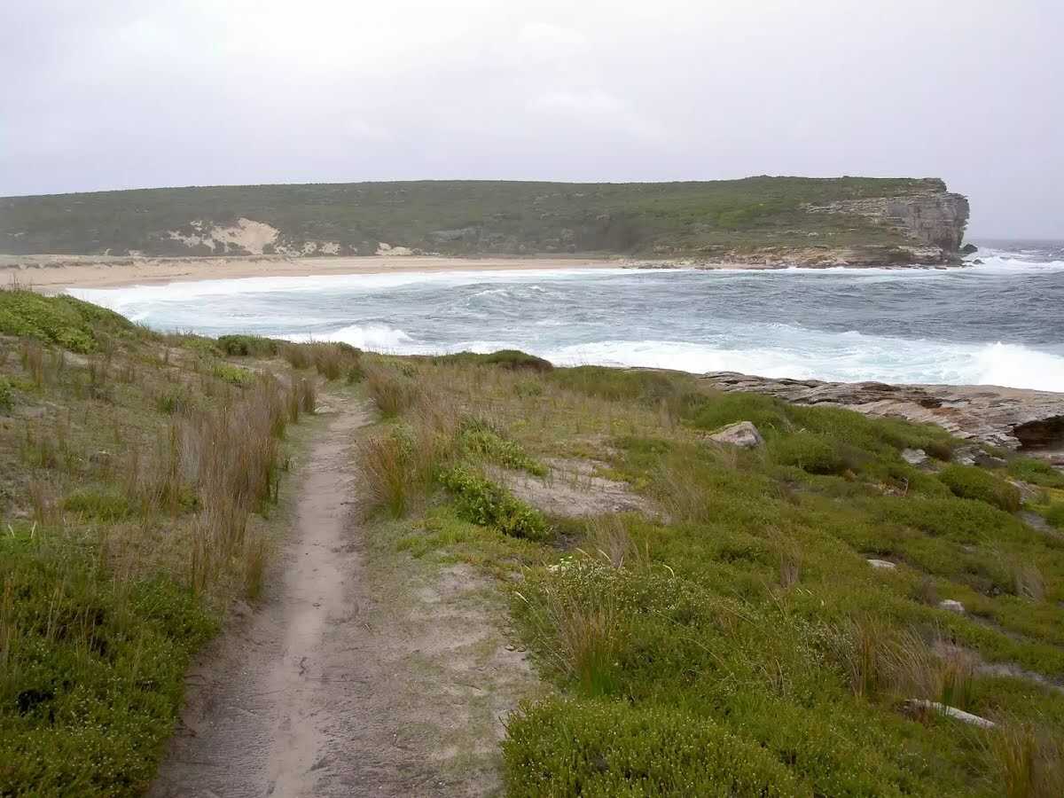
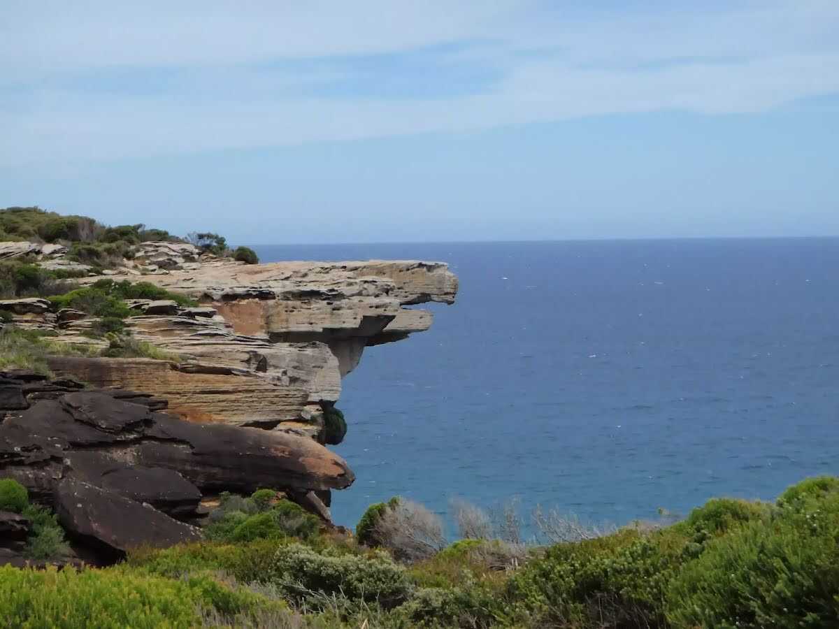
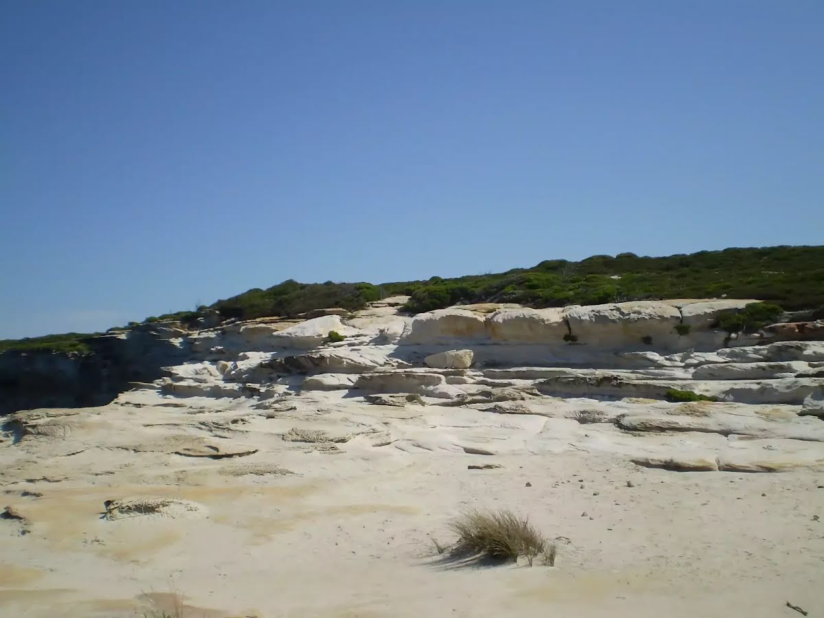
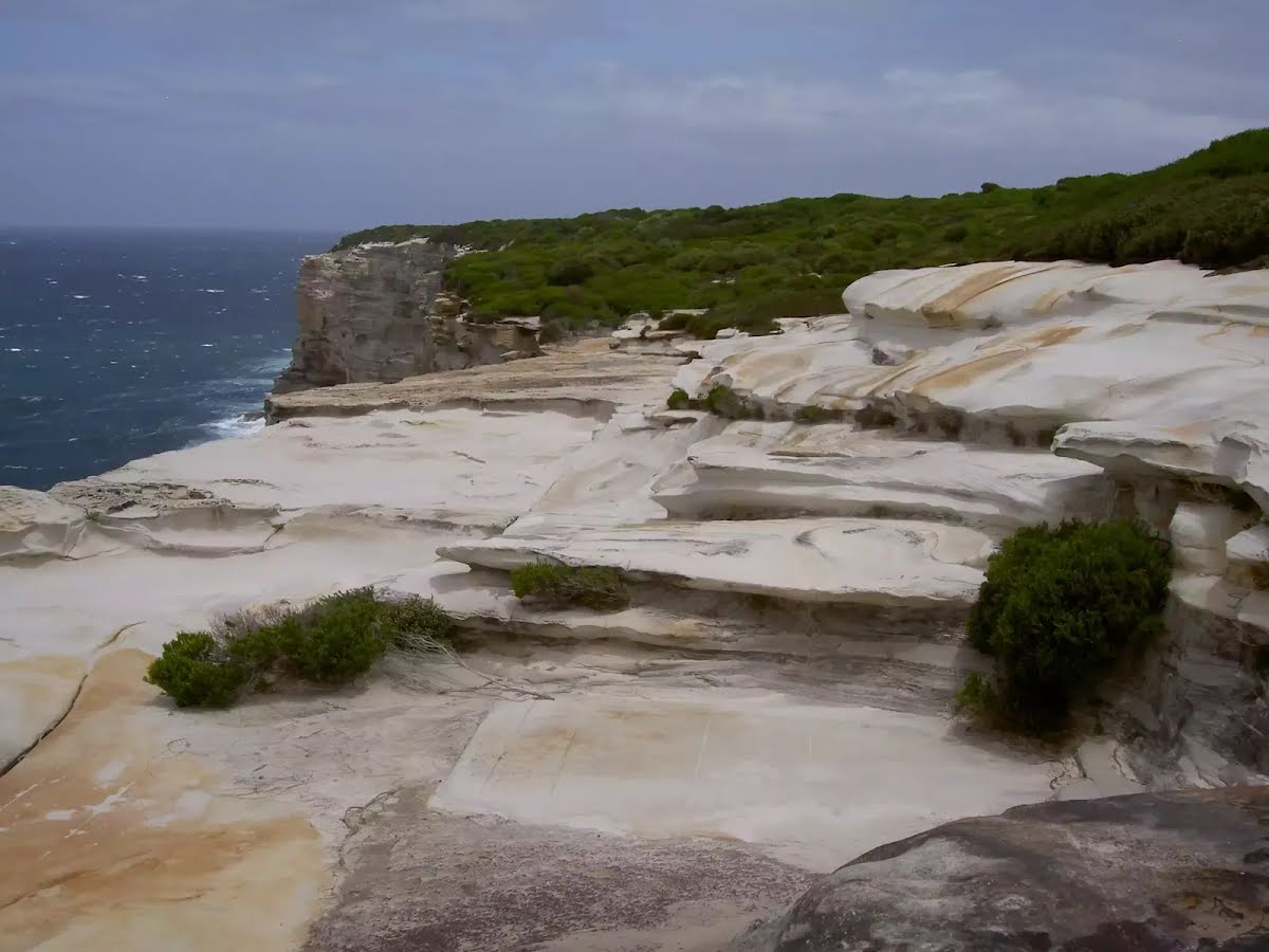
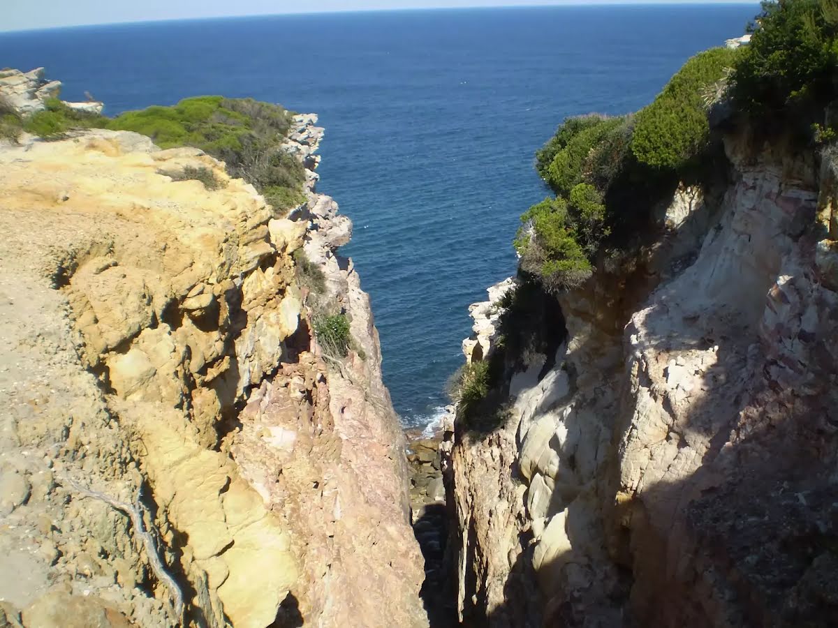
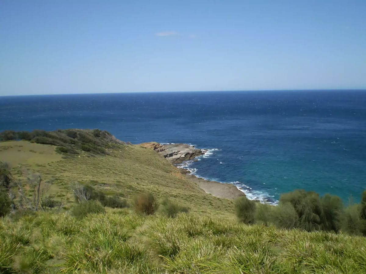
The starting point of an optional sidetrip. An optional side trip taking you to the eastern cliff edge. Tread carefully. To start this optional side trip veer left here. On returning from this side trip turn left when you get back to this intersection. Details below.
|
 |
|
 |
After another 90 m (from the Big Marley Fire Trail) veer left, to head along Big Marley Fire Trail (a vehicle track).
|
 |
|
 |
|
 |
|
 |
|
 |
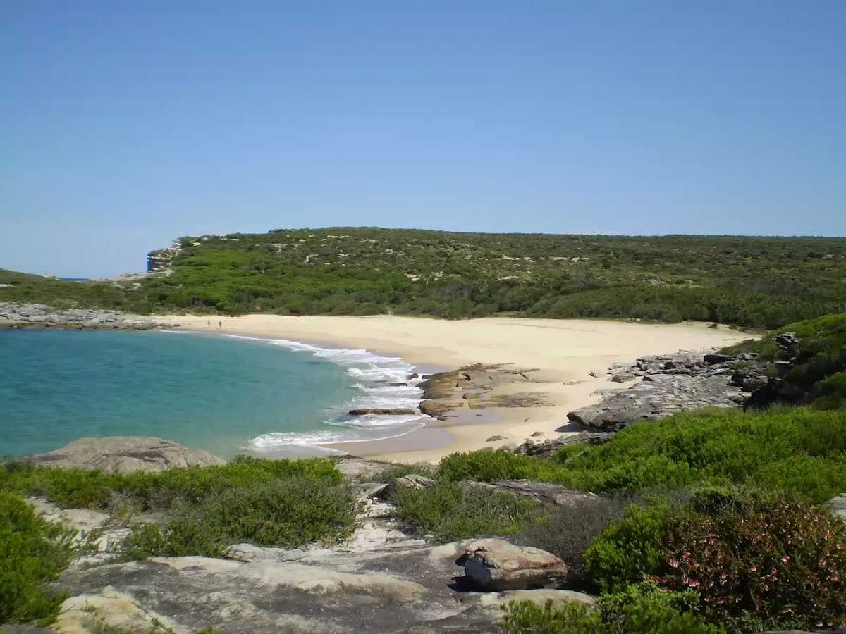
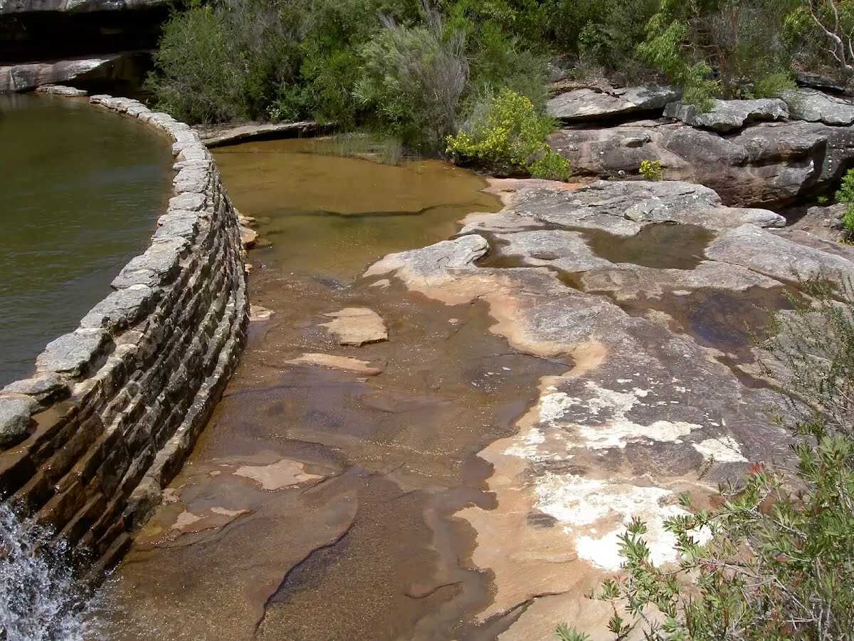
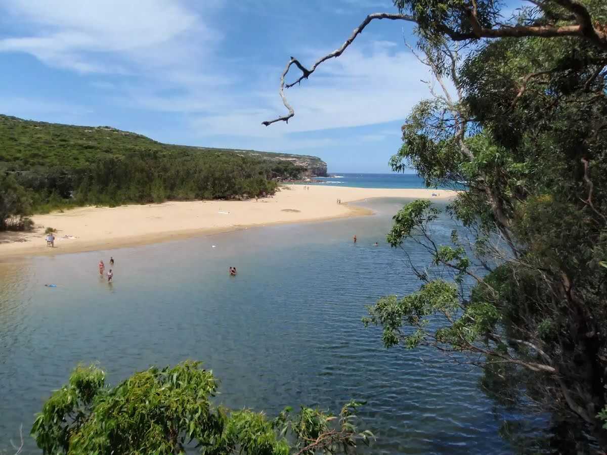
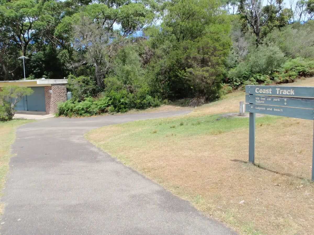
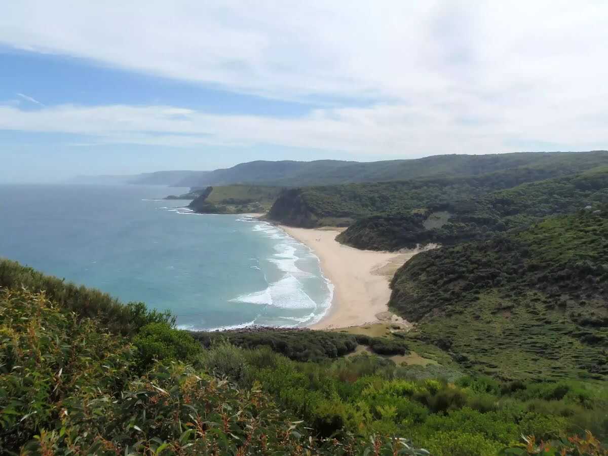
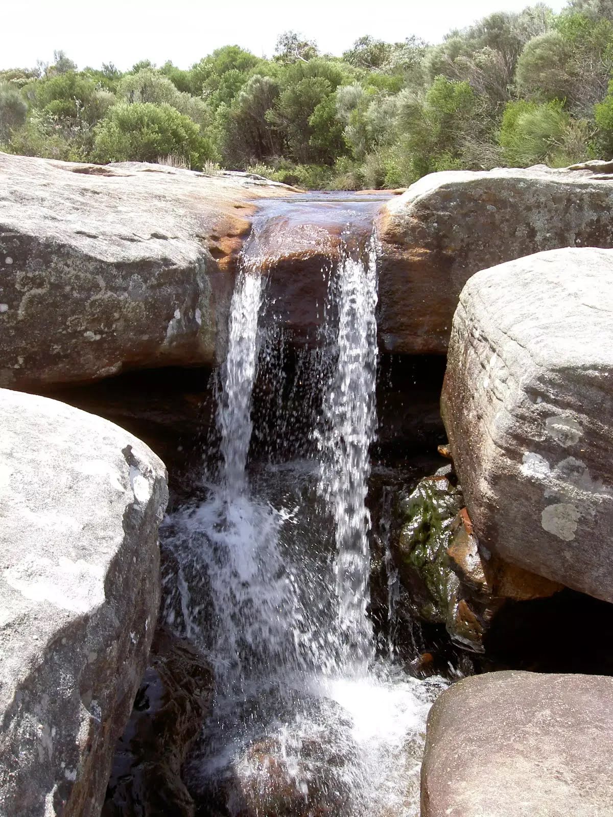
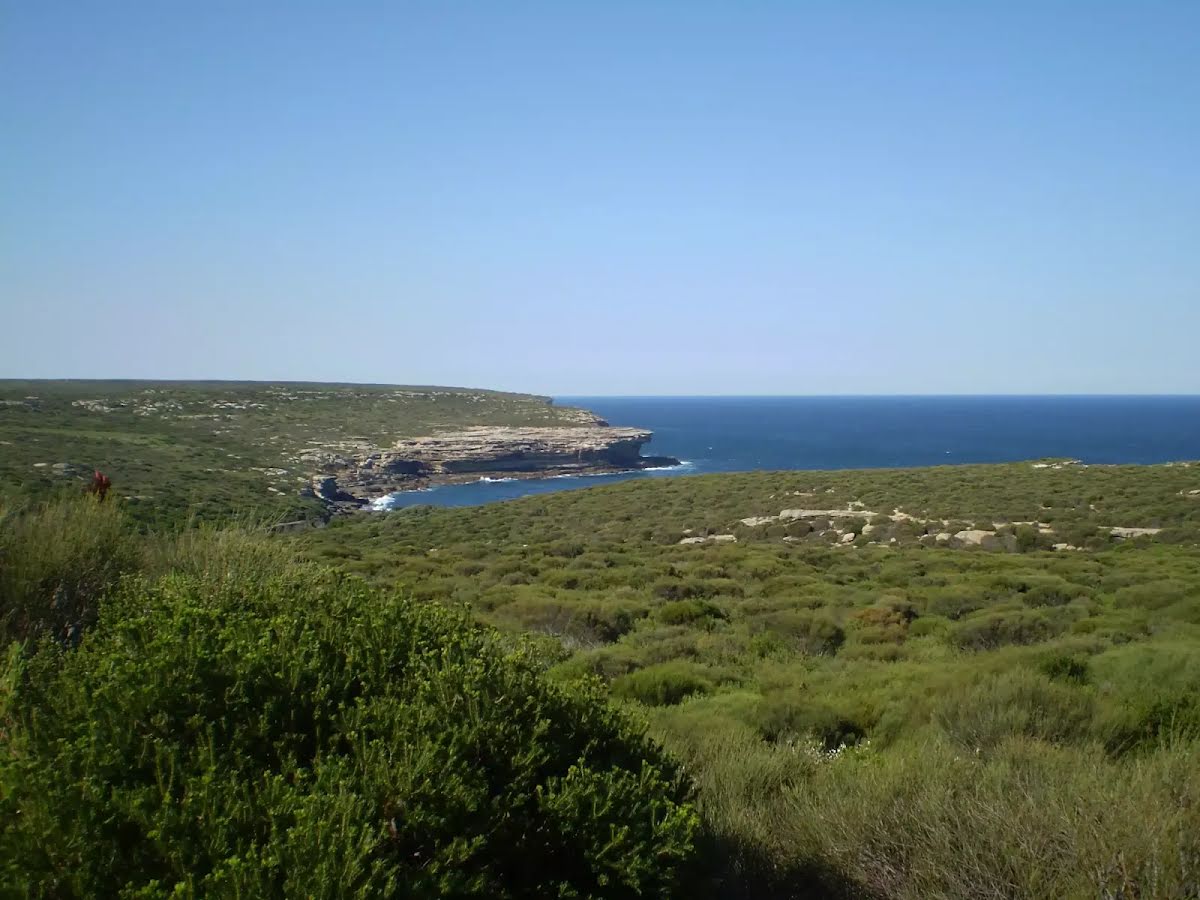
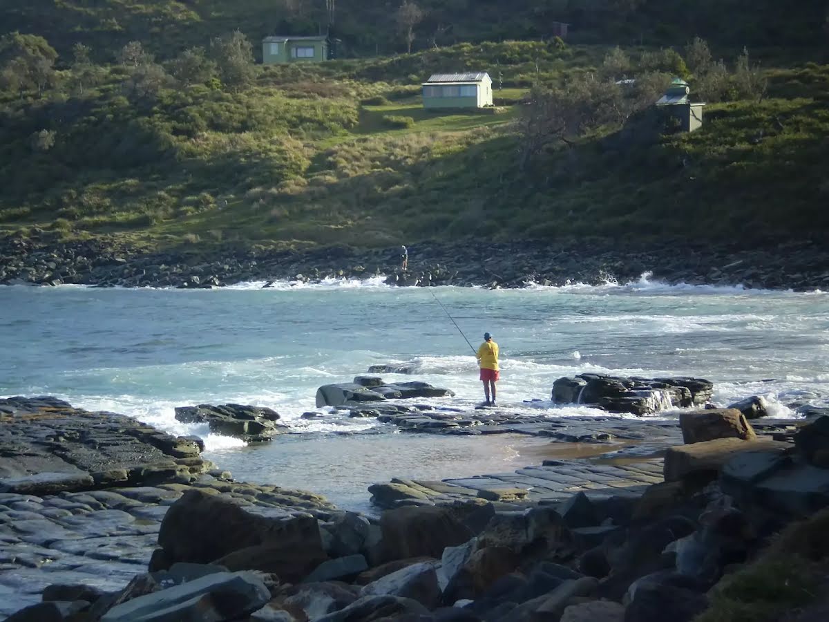
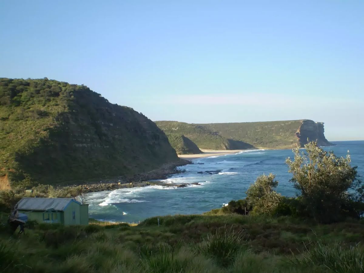
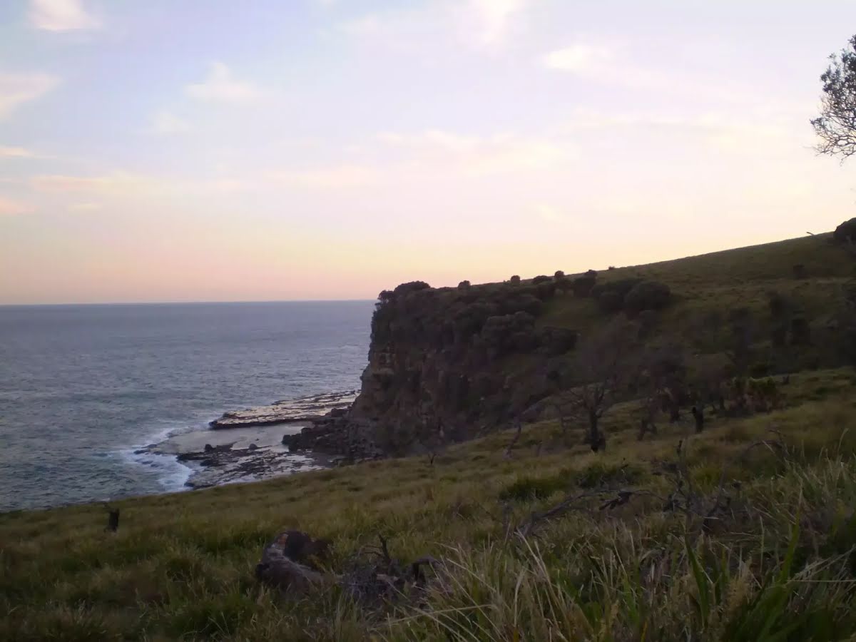
The starting point of an optional sidetrip. This optional side trip takes you to the Wattamolla Beach and Lagoon. To start this optional side trip turn left here. On returning from this side trip turn left when you get back to this intersection. Details below.
|
 |
|
 |
|
 |
|
 |
|
 |
|
 |
|
 |
|
 |
|
 |
|
 |
|
 |
|
 |
|
 |
|
 |
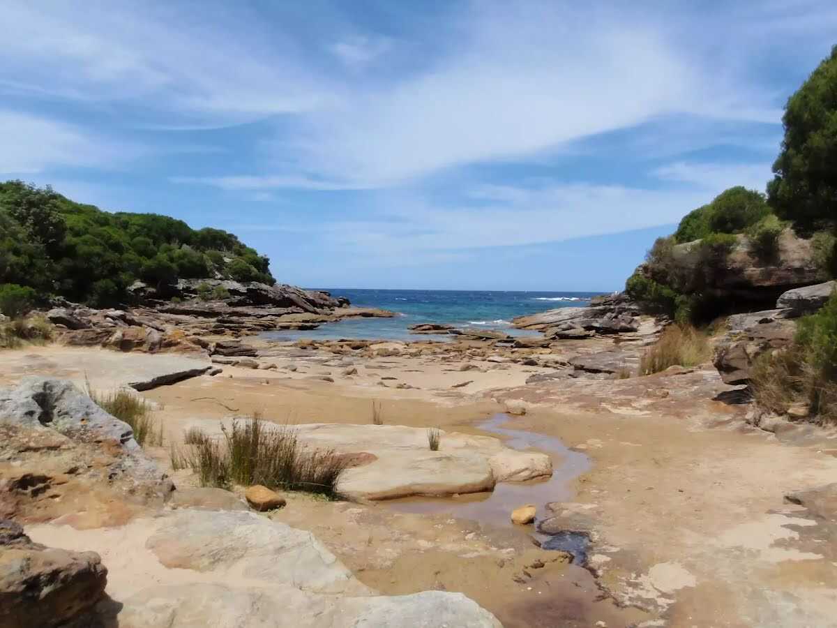
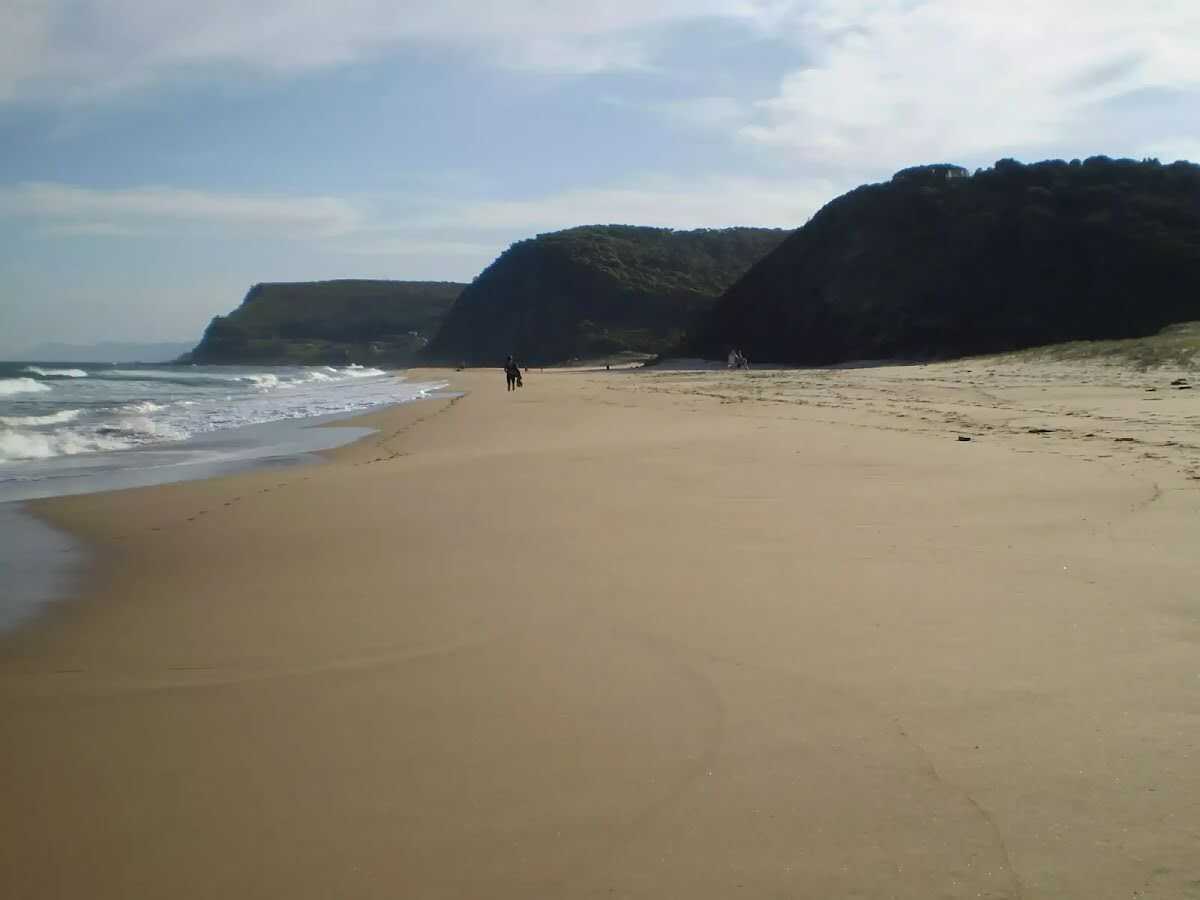
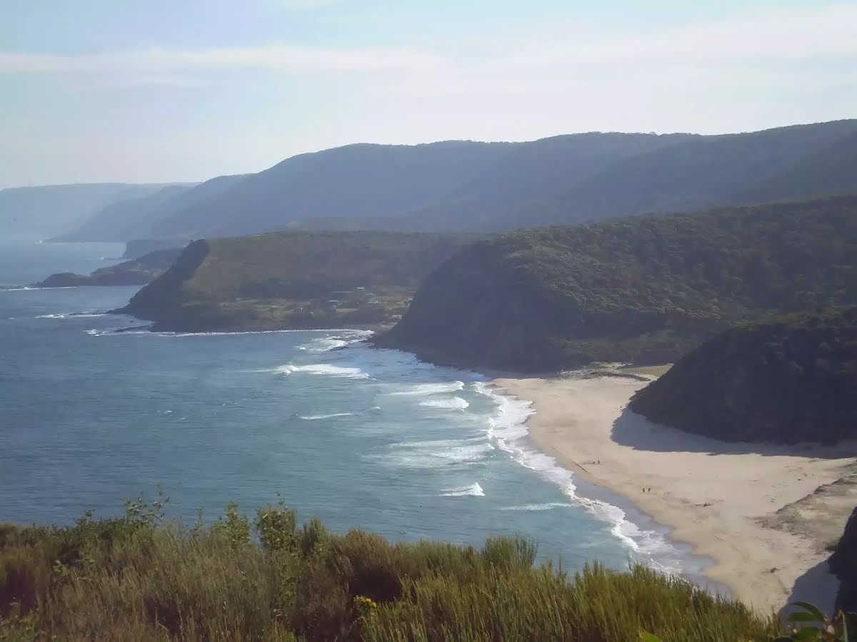
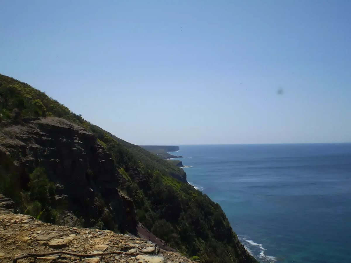
The starting point of an optional sidetrip. This little side trip takes you to the North Era Beach Campground. To start this optional side trip continue straight here. On returning from this side trip veer left when you get back to this intersection. Details below.
|
 |
|
 |
|
 |
|
 |
|
 |
|
 |
|
 |
|
 |
|
 |
|
 |
After another 15 m (from the Lady Wakehurst Drive) turn left, to head along Lady Wakehurst Drive (a road).
|
 |
|
 |
|
 |
|
 |
| Turn map | Directions & comments |
|---|---|
 |
|
 |
|
 |
|
 |
| Turn map | Directions & comments |
|---|---|
 |
|
 |

|
|
Class 4/6 Hard track |
|---|---|
| Length | 27.7 km |
| Time | 12 h to 2 days |
| Quality of track | Formed track, with some branches and other obstacles (3/6) |
| Gradient | Very steep (4/6) |
| Signage | Directional signs along the way (3/6) |
| Infrastructure | Limited facilities, not all cliffs are fenced (3/6) |
| Experience Required | Some bushwalking experience recommended (3/6) |
| Weather | Weather generally has little impact on safety (1/6) |
| Item | From Start | Name & link to notes |
|---|---|---|
Shelter
| 40 m | Ferry Shelter |
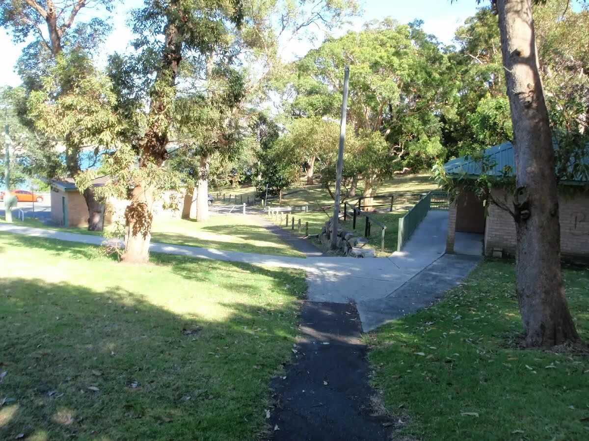
Toilet
| 155 m | [toilet] |
Toilet
| 1.6 km | [toilet] |
Toilet
| 10.5 km | [toilet] |
Toilet
| 10.5 km | [toilet] |
Seat
| 18 km | [seat] |
Seat
| 18 km | [seat] |
Toilet
| 18.1 km | [toilet] |
Seat
| 18.1 km | [seat] |
Seat
| 19 km | [seat] |
Seat
| 19.3 km | [seat] |
Camp site
| 19.5 km + 40 m | North Era Beach Campground |
Toilet
| 19.5 km + 40 m | [toilet] |
Toilet
| 21.9 km | [toilet] |