Closed areas: Areas closed for deer control programSome areas in Royal National Park are closed to the public between sunset and sunrise from Monday to Thursday (except for school holidays) from 7th July 2025 to 19th December 2025 to enable a deer control operation to be carried out.
The closed areas include:
- All picnic areas in the Audley Precinct
- Asset protection zones adjacent to Maianbar, Bundeena and East Heathcote.
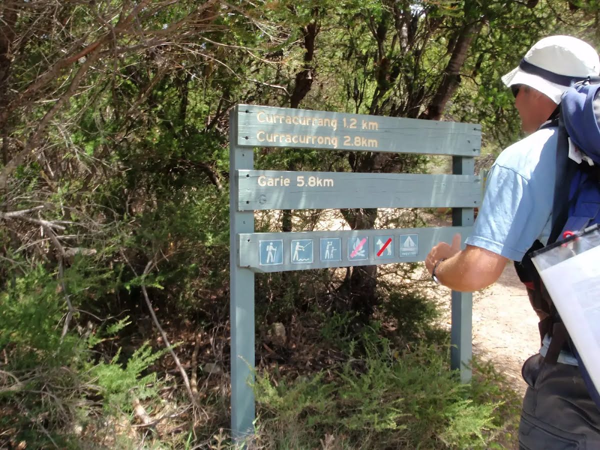
- Wattamolla and Garie picnic areas
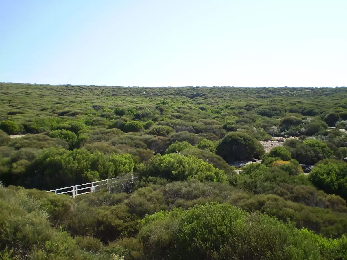
- North Era campground and coastal areas between Garie Beach and Figure 8 Pools
- Garrawarra Farm
- Lady Carrington Drive
- Bonnie Vale campground and Bonnie Vale picnic area.
These closures will be signposted at the entry points to the closed areas. If you have a campground booking you can still access campgrounds during these times.
Penalties apply for non-compliance. For more information, contact the Royal National Park Visitor Centre on 02 9542 0648.
Other planned events: Helicopter operations - Waterfall OvalWaterfall Oval and Helipad will be used for periodic helicopter operations on weekends and some weekdays between 26 June and Thursday 24 July 2025 to support a Sydney Trains rail upgrade program. The oval will be used to store equipment and materials and the helipad will be used for slung loads to be flown into the rail corridor south of Waterfall Township.
Park visitors seeking to use the Uloola Falls fire trail or walking track from Waterfall train station may be asked by crews working on the project to wait for short periods whille slung loads are flown across the tracks. Delays will be minimal.
For more information please contact the Royal National Park Visitor Centre on 02 9542 0632.
Closed areas: Marley walking track partial closureThe section of Marley walking track between the carpark and fire trail is closed for repairs until Monday 4 August 2025. The carpark will also be closed for repairs during this time.
Big Marley and Little Marley fire trails remain open.
For more information, contact the Royal National Park Visitor Centre on 02 9542 0648.
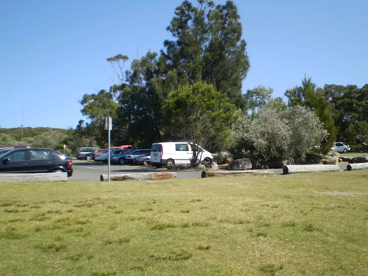
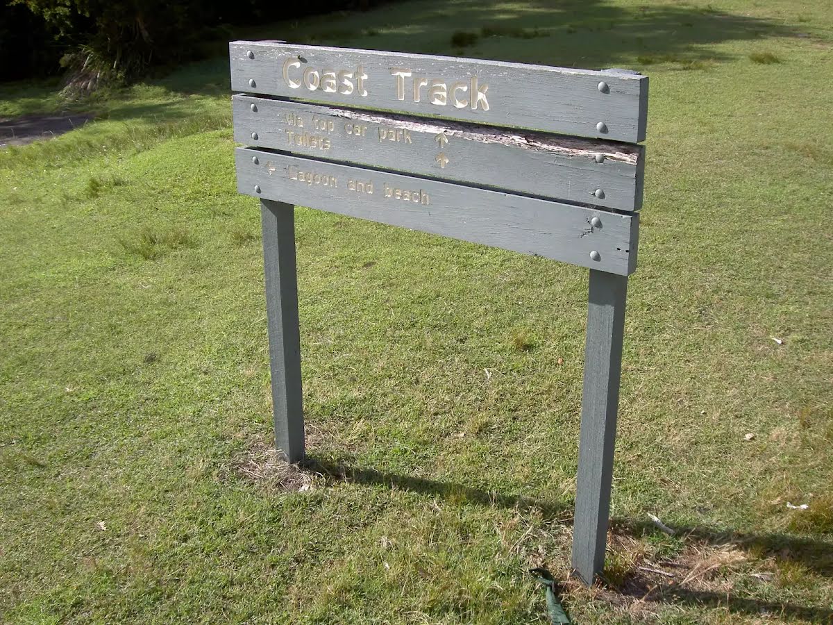
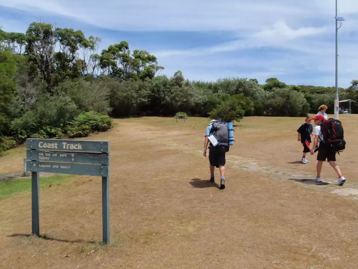
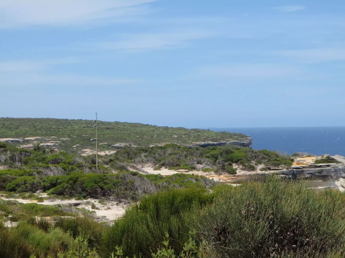
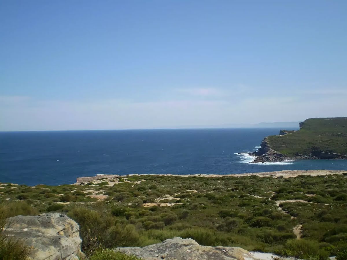
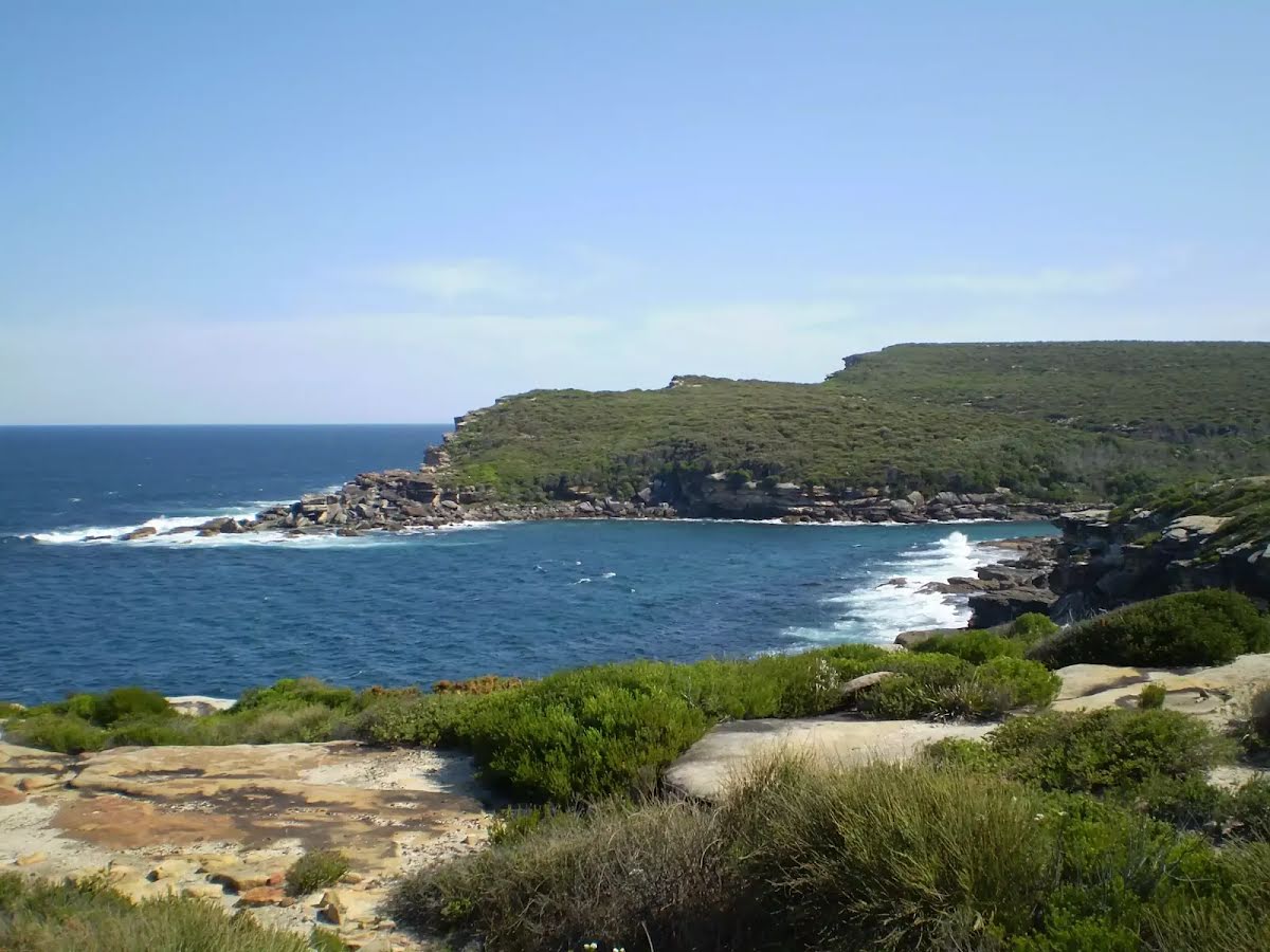
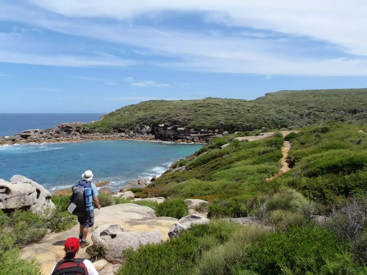
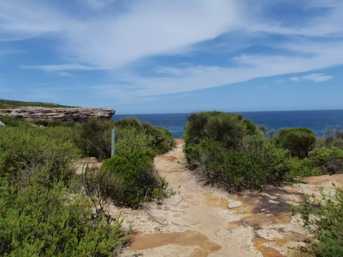
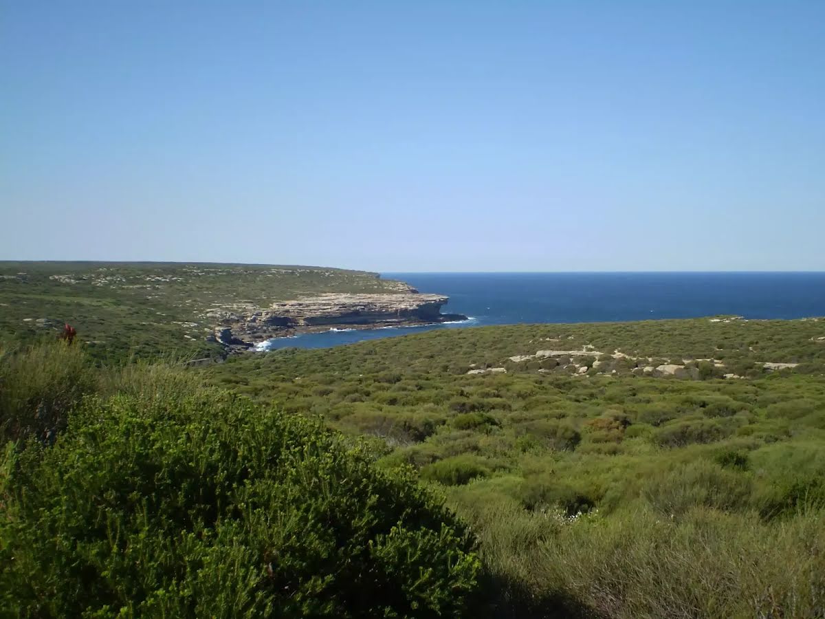
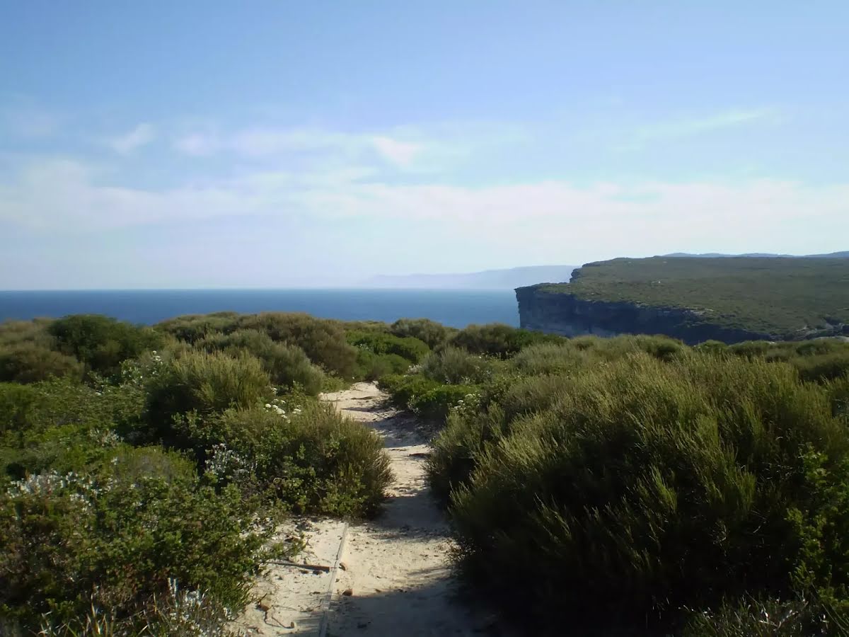
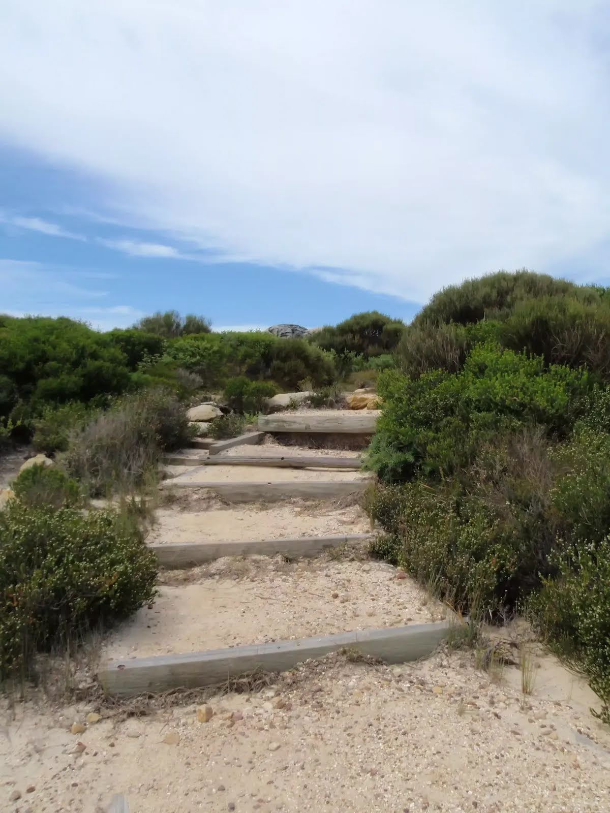
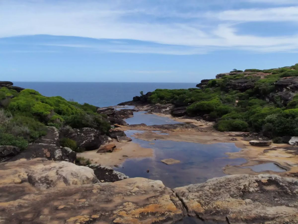
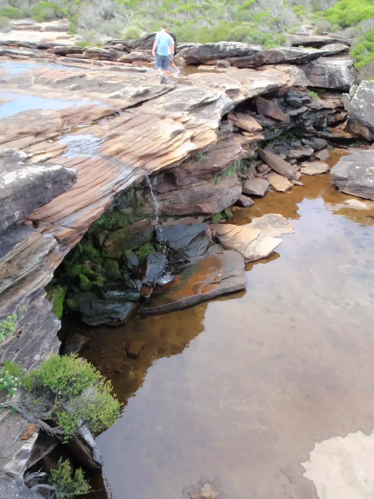
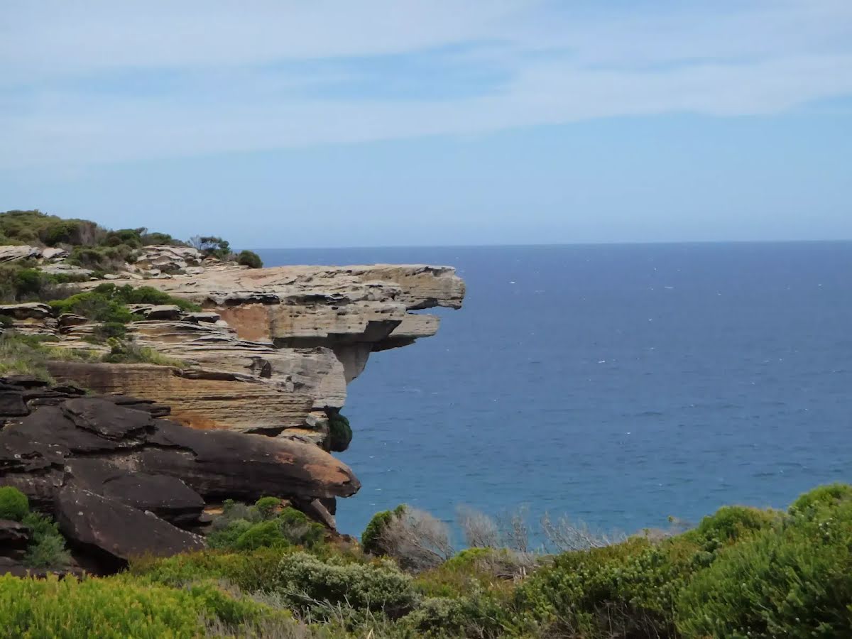
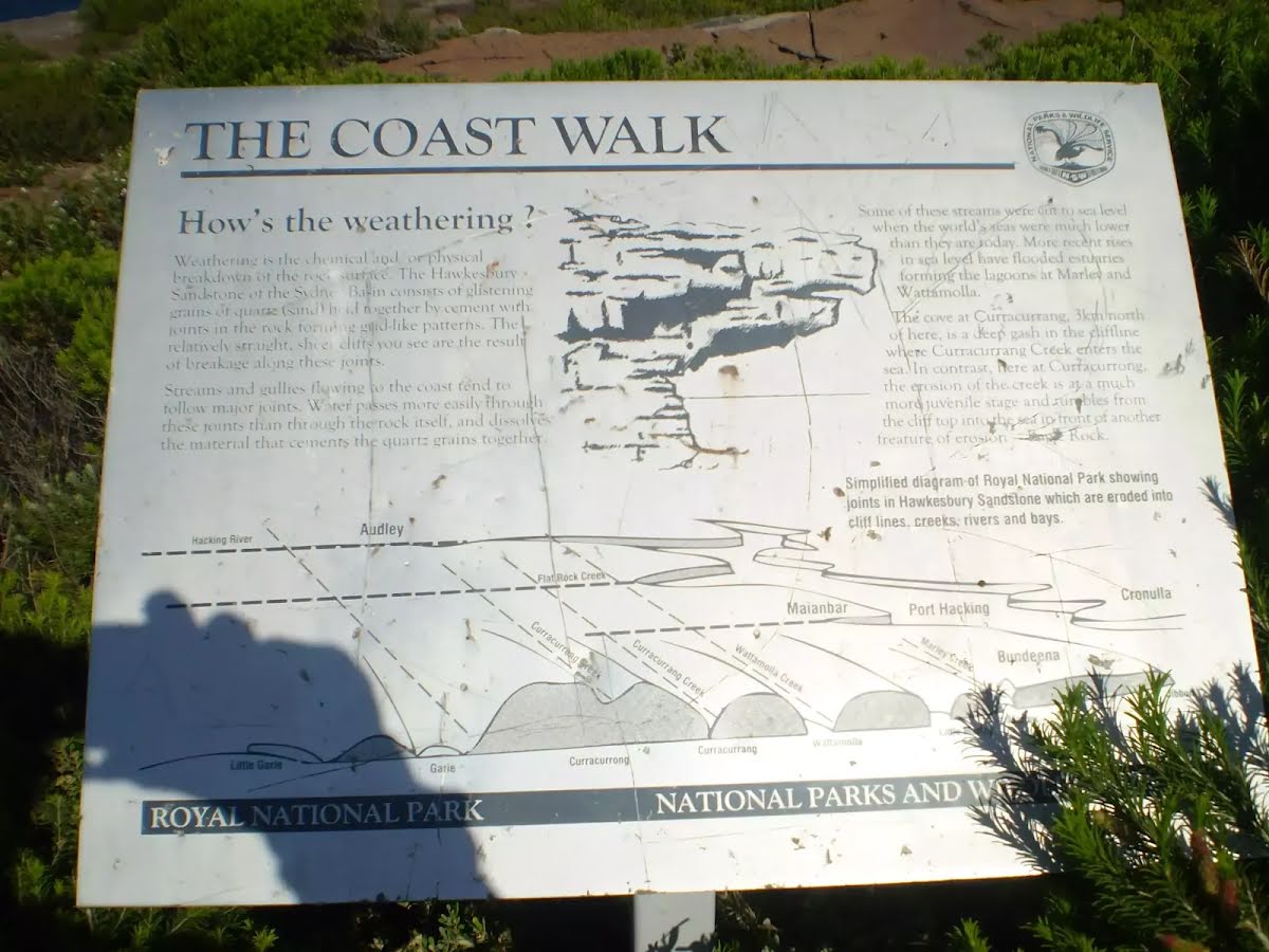
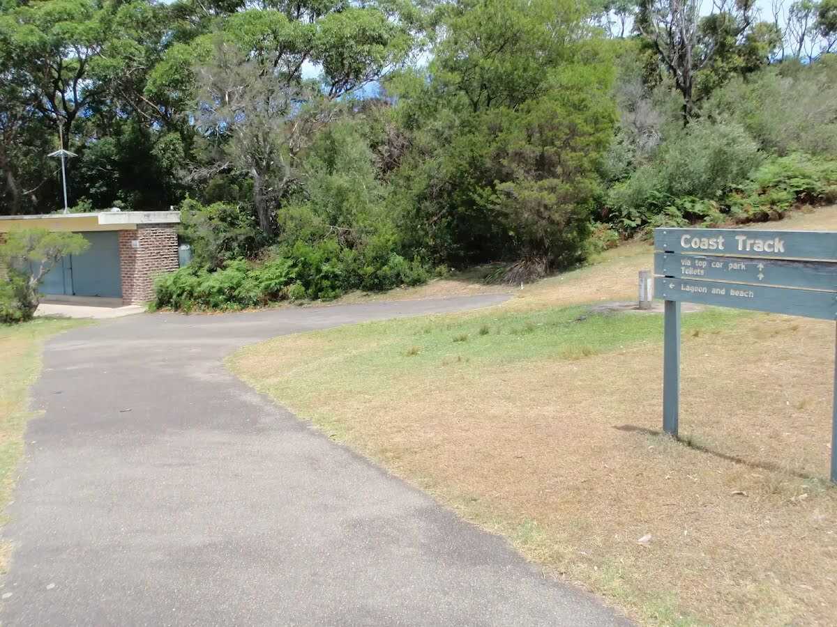
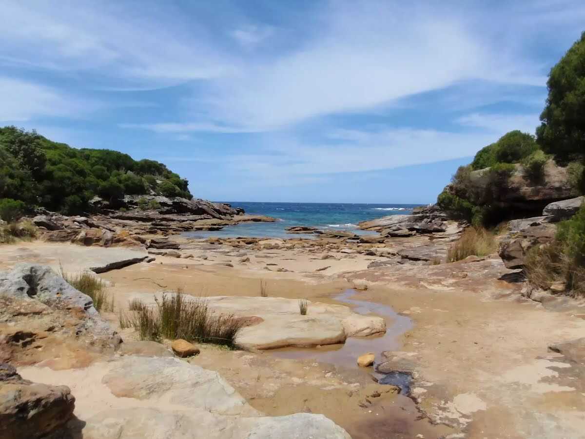
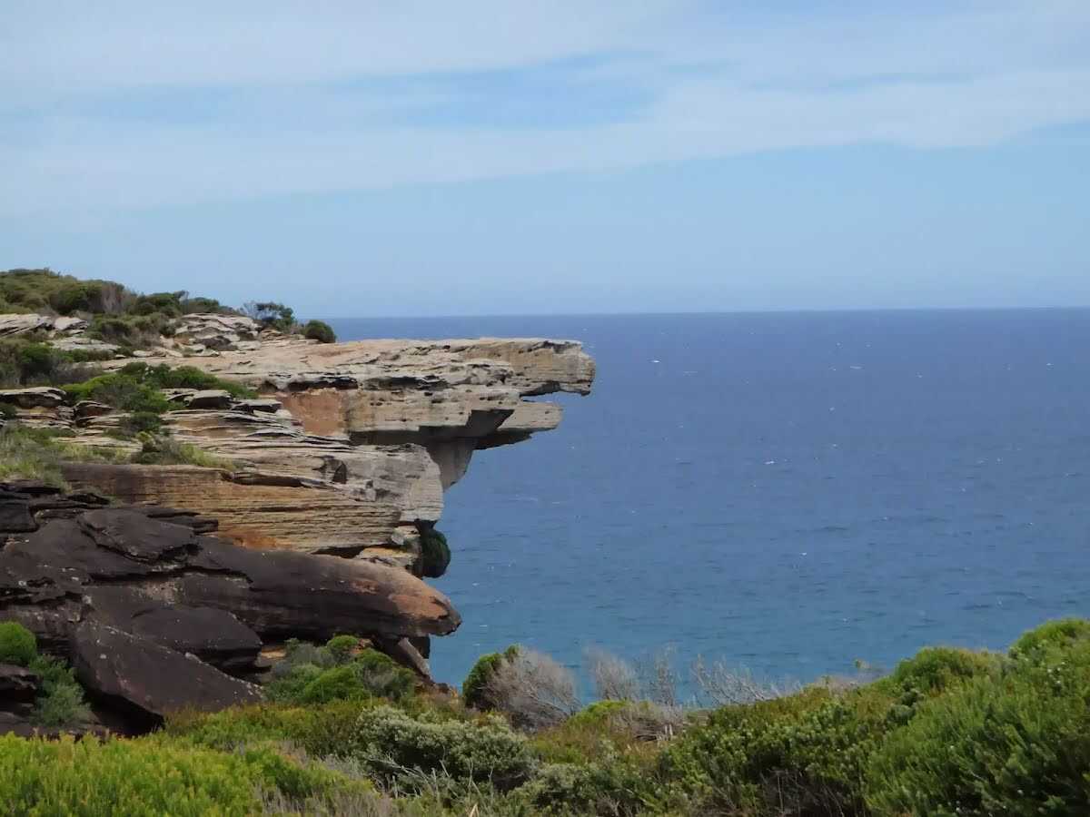
Closed areas: The Coast track - partial closureWalking the full length of The Coast track from Otford to Bundeena or Bundeena to Otford is not currently possible due to several track closures along its length. These closures are necessary due to erosion, rockfall risk and ongoing track upgrade works.
Please note the following closures:
- The Garie to Little Garie section of The Coast track is closed due to hazardous rockfalls and erosion
- North Era campground is closed until further notice
- Garie Road, Garie Beach and the Garie precinct is closed until further notice due to damage and subsidence of the road surface. Walkers approaching from the north (e.g. from Wattamolla or Bundeena) should exit the track via Curra Moors track. Walkers approaching from the south can Exit to Garawarra Farm via the Burgh Ridge Track.
Bushwalker access is available for the following sections of The Coast track:
- South bound access - Bundeena to Curra Moors track via Wattamolla and return only. No access to Garie Beach.
- North bound access - Otford to Thelma Ridge Via Burning Palms and Era and return only. No access to Garie Beach.
For further information please contact the Royal National Park Visitor Centre on 02 9542 0648
Closed areas: Werrong Beach trackWerrong Beach track in Royal National Park is closed until further notice due to landslides. Signs will be in place around the closed area.
Penalties apply for non-compliance. For more information, contact the local NPWS office.
Closed areas: North Era campground closedNorth Era campground is closed until further notice due to operational activities. For more information please contact the local area office on 02 9542 0648.
Closed areas: Garie Road closed due to damageGarie Road is closed until further notice due to damage to the road surface.
This road may remain closed for some time to allow for extensive repairs. A reopening date is not currently known.
Penalties apply for non-compliance. Please check
Live Traffic NSW for updates before driving to Garie Beach.
Alert kindly provided by © NSW Nataional Parks and Wildlife Service