
| Start | (-33.7601115,151.2246902) |
| Mode | Bus Car (There is free parking available.) |
| Turn map | Directions & comments |
|---|---|
 |
|
 |
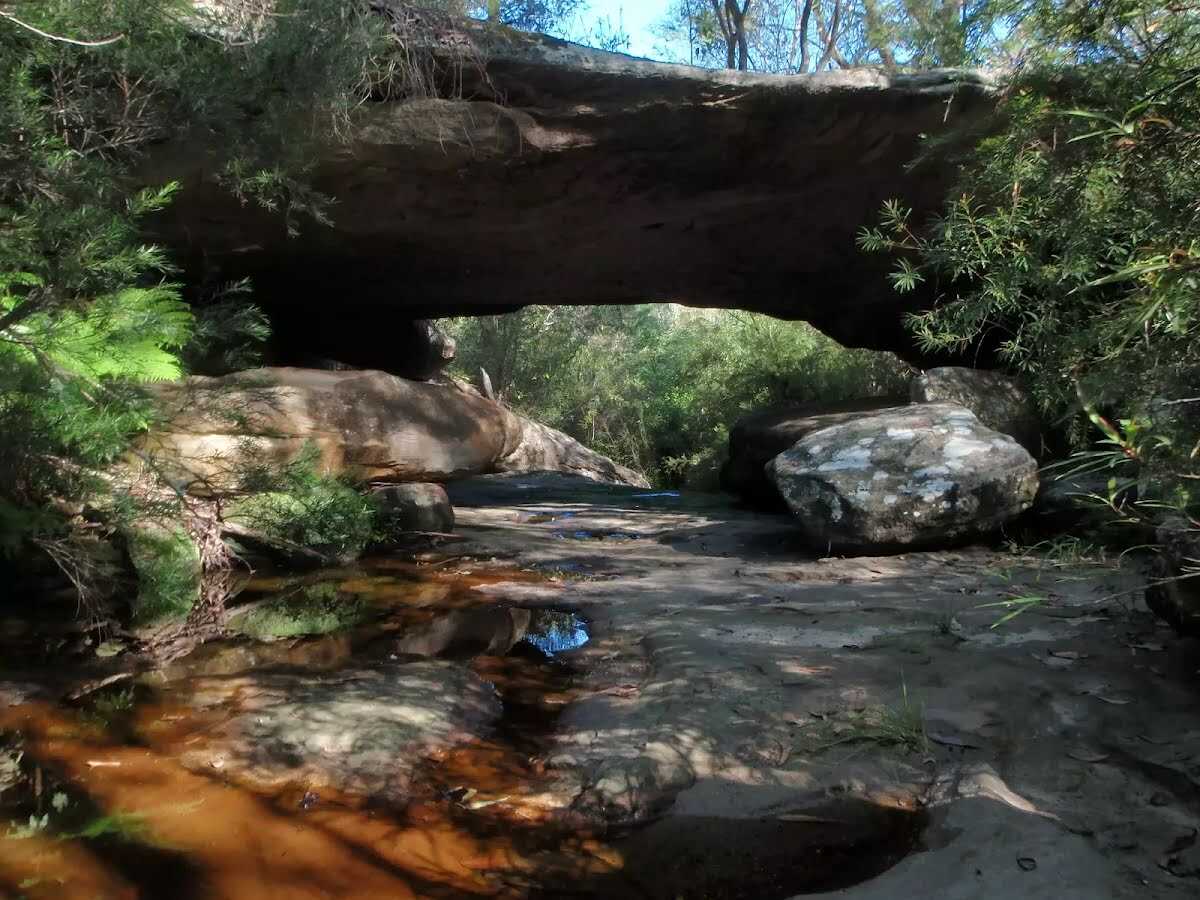
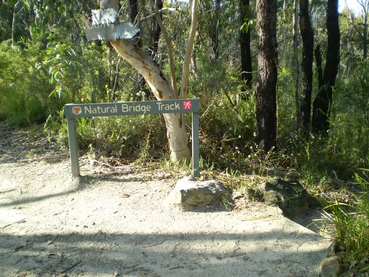
The starting point of an optional sidetrip. An optional side trip to Natural Bridge. To start this optional side trip veer left here. On returning from this side trip turn left when you get back to this intersection. Details below.
|
 |
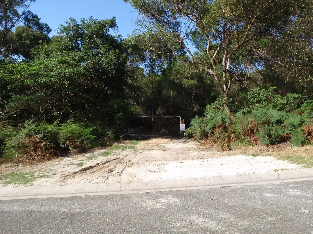
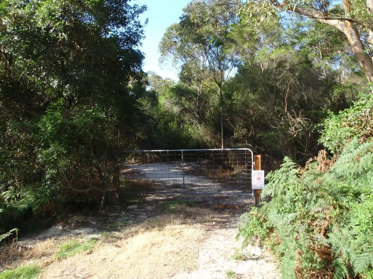
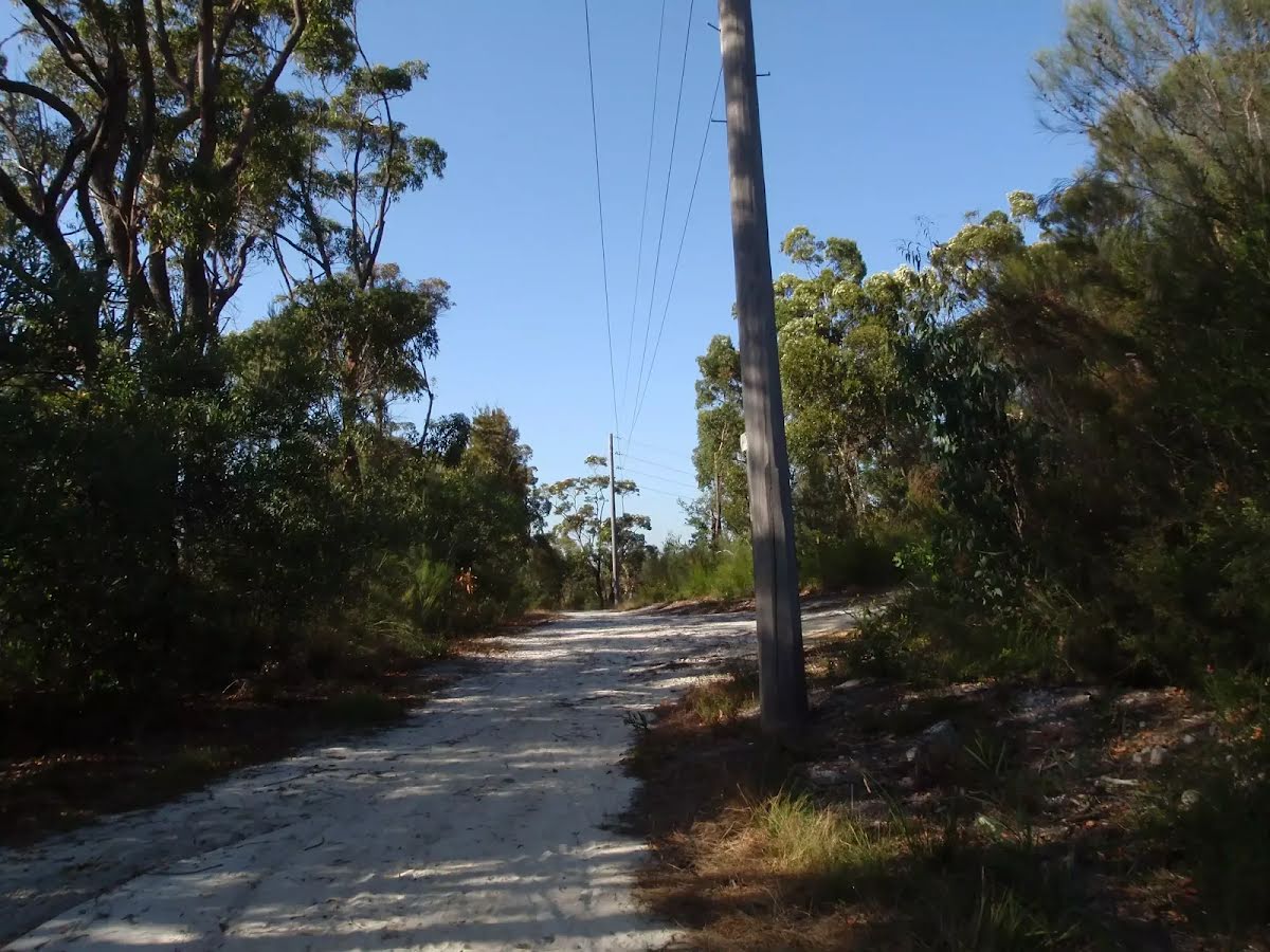
The starting point of an alternate access track. Alternate Access via Cook Street trail. Details below.
|
 |
Continue another 140 m to find the end. Then turn around here and retrace the main route for 2.2 km to get back to the start.
|
 |
|
 |
|
| Turn map | Directions & comments |
|---|---|
 |
|
 |

|
|
Class 4/6 Hard track |
|---|---|
| Length | 4.4 km |
| Time | 1 h 30 min to 2 h 30 min |
| Quality of track | Rough track, where fallen trees and other obstacles are likely (4/6) |
| Gradient | Very steep (4/6) |
| Signage | Minimal directional signs (4/6) |
| Infrastructure | Limited facilities, not all cliffs are fenced (3/6) |
| Experience Required | Some bushwalking experience recommended (3/6) |
| Weather | Storms may impact on navigation and safety (3/6) |