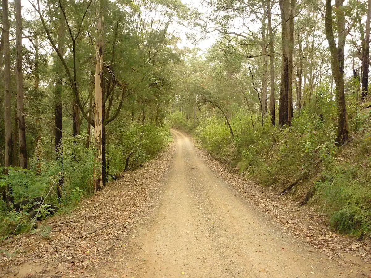
Other planned events: Bangalow Road planned repairs and maintenancePlanned road repairs and maintenance is scheduled for Bangalow Road from 1 July 2025 to 1 September 2025. Heavy plant and machinery will be operating along Bangalow Road.
Areas that will also be closed due to these works include:
- Bangalow Campground and Day use area
- Gap Creek Campground and Day use area
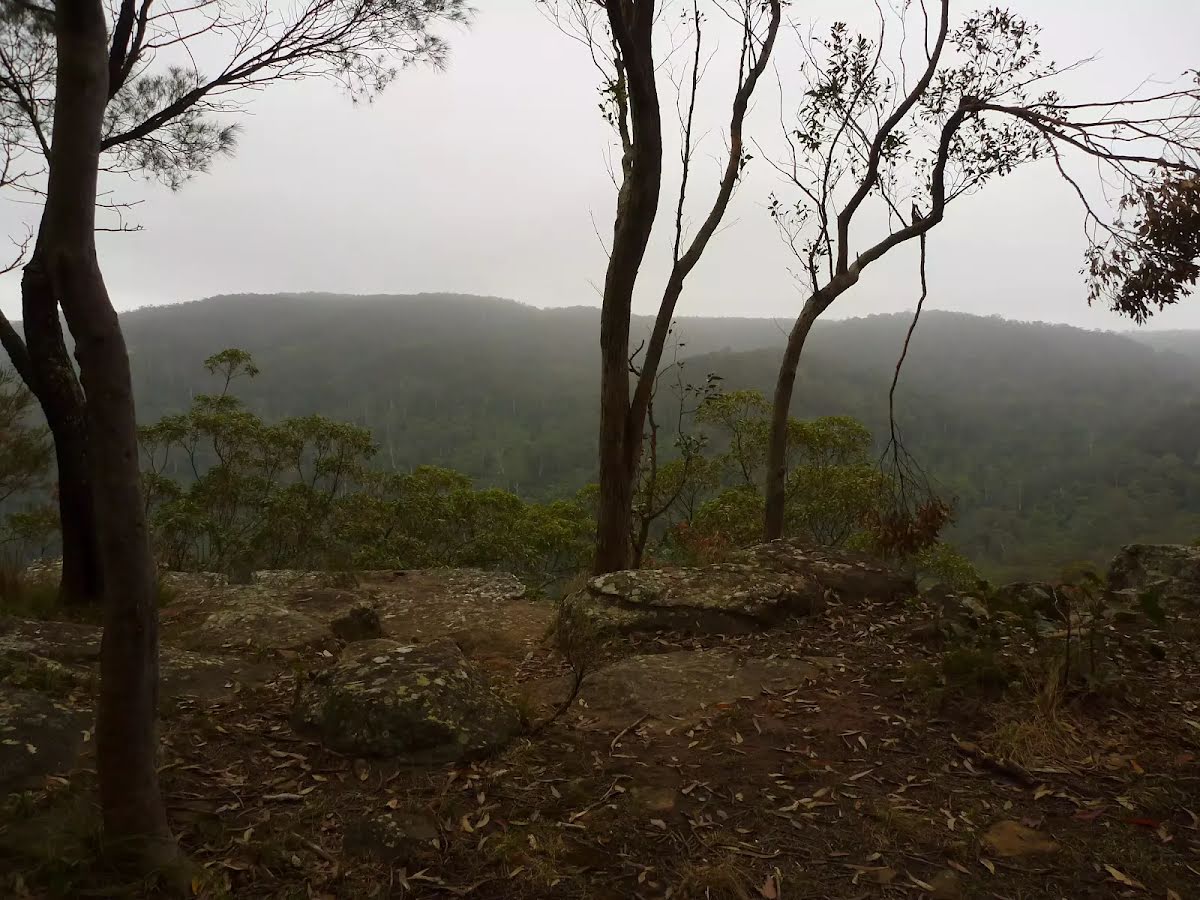
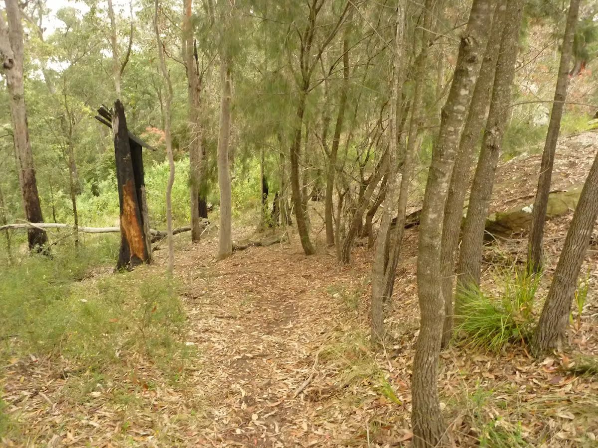
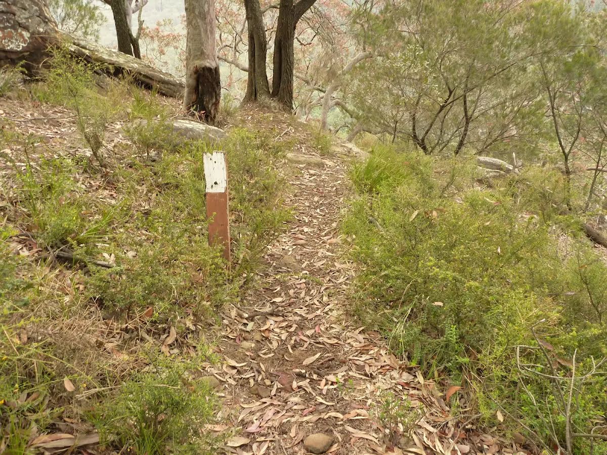
- Gap Creek Falls walking track
- Climbers walking track
During this time, Bangalow Road will be closed and pedestrian and vehicle access is not permitted.
Penalties apply for non-compliance.
For more information, contact NPWS Central Coast Area office on (02)4972 9000.
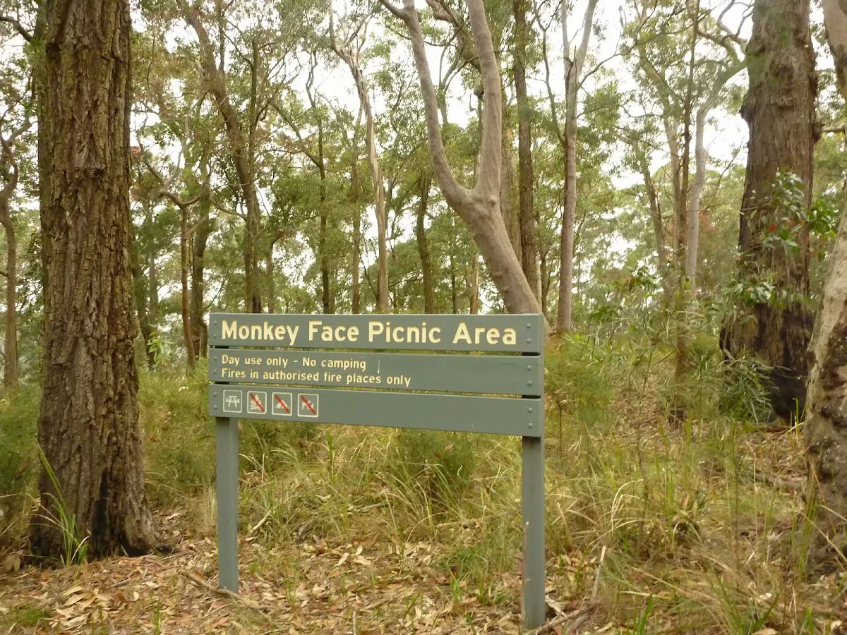
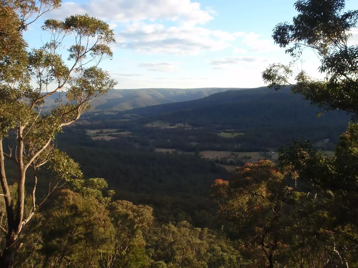
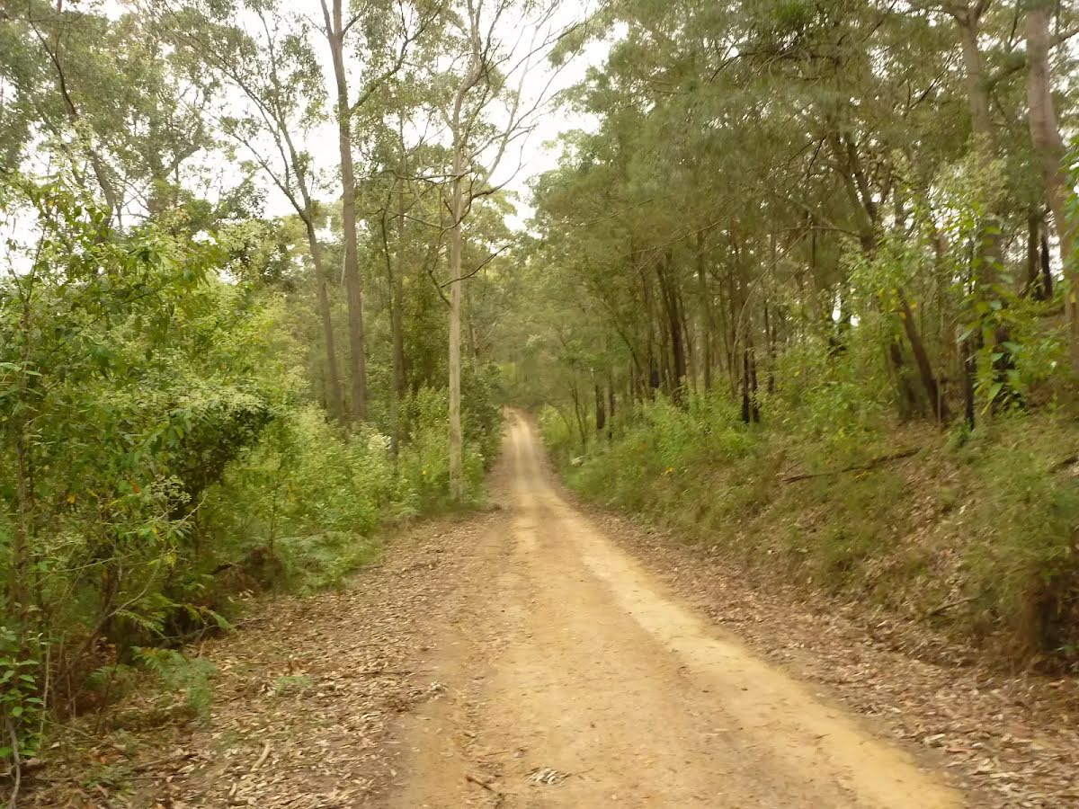
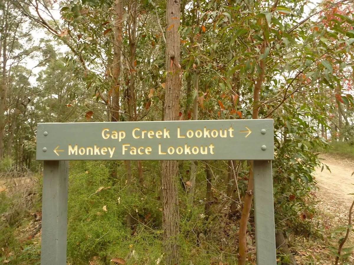
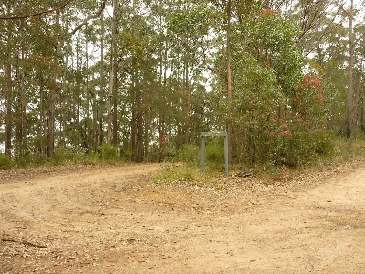
Closed areas: Monkey Face Road closed due to road conditionsMonkey Face Road is temporarily closed as it is no longer suitable for 2WD or 4WD vehicles. This closure will affect vehicle access to following areas until further notice due unsafe road conditions:
- Monkey Face Road
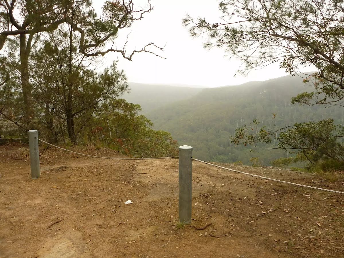
- Monkey Face Lookout
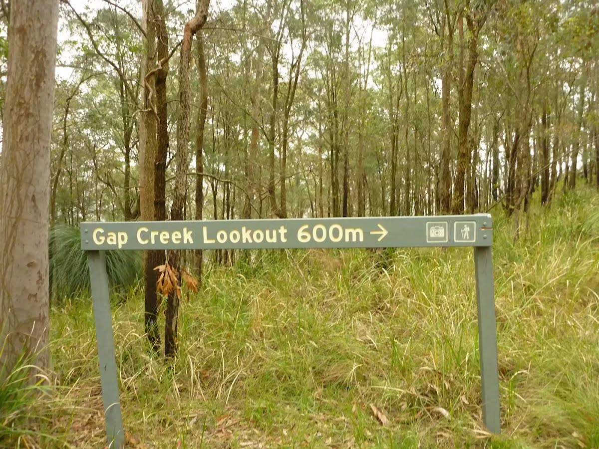
- Gap Creek Lookout
The areas will re-open as soon as they are considered safe. To prevent further damage to the road and to protect visitor safety, please avoid this area and other trails in the reserve that are potentially hazardous.
Penalties apply for non-compliance. For more information, contact the local park office.
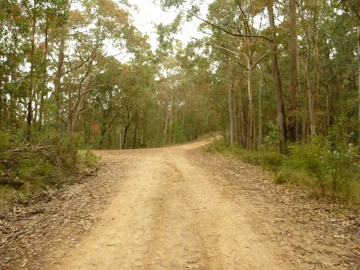
Other planned events: Rope Road and Click Creek Fire Trail Closed For Road MaintenancePlanned Road maintenance is scheduled for Rope Road and Click Creek Fire Trail from Monday 10th February 2025 until Monday 30th June 2025.
During these times the roads will be closed and pedestrian and vehicle access is not permitted.
Penalties apply for non-compliance.
For more information, contact NPWS Central Coast office on (02) 4972 9000.
Other planned events: Georges Road, 125R Lookout Road and Watagan Road Repairs and Maintenance WorkPlanned road maintenance is scheduled for Georges Road, 125R Lookout Road and Watagan Road.
Temporary closure may occur between Monday 3rd February 2025 and Monday 30th June 2025.
Heavy plant and machinery will be operating from the intersection of Heaton Road and Watagan Road, then west along Georges Road.
Pedestrians and vehicles should take caution when accessing these areas.
For more information, please contact the NPWS Munmorah office on (02) 4972 9000.
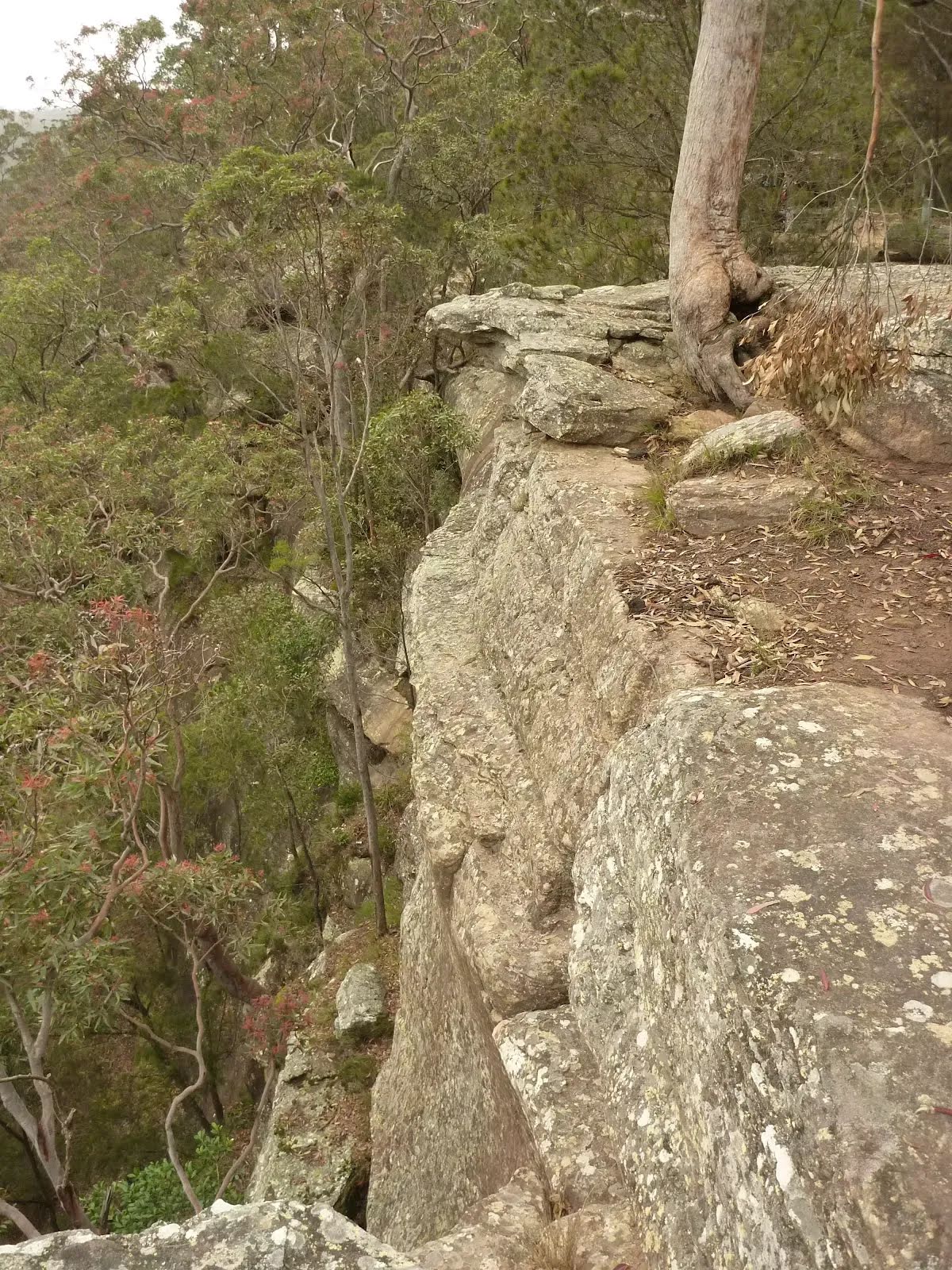
Closed areas: Heaton Road Access from Watagans Road Closed Due to Landslip and RockfallHeaton Road Access from Watagans Road is closed as it is no longer suitable for 2WD or 4WD vehicles due to risk of landslip and rockfall. This affects access from Watagans National Park to Quorrobolong.
Penalties apply for non-compliance.
For further information, please contact NPWS Munmorah office on (02) 4972 9000.
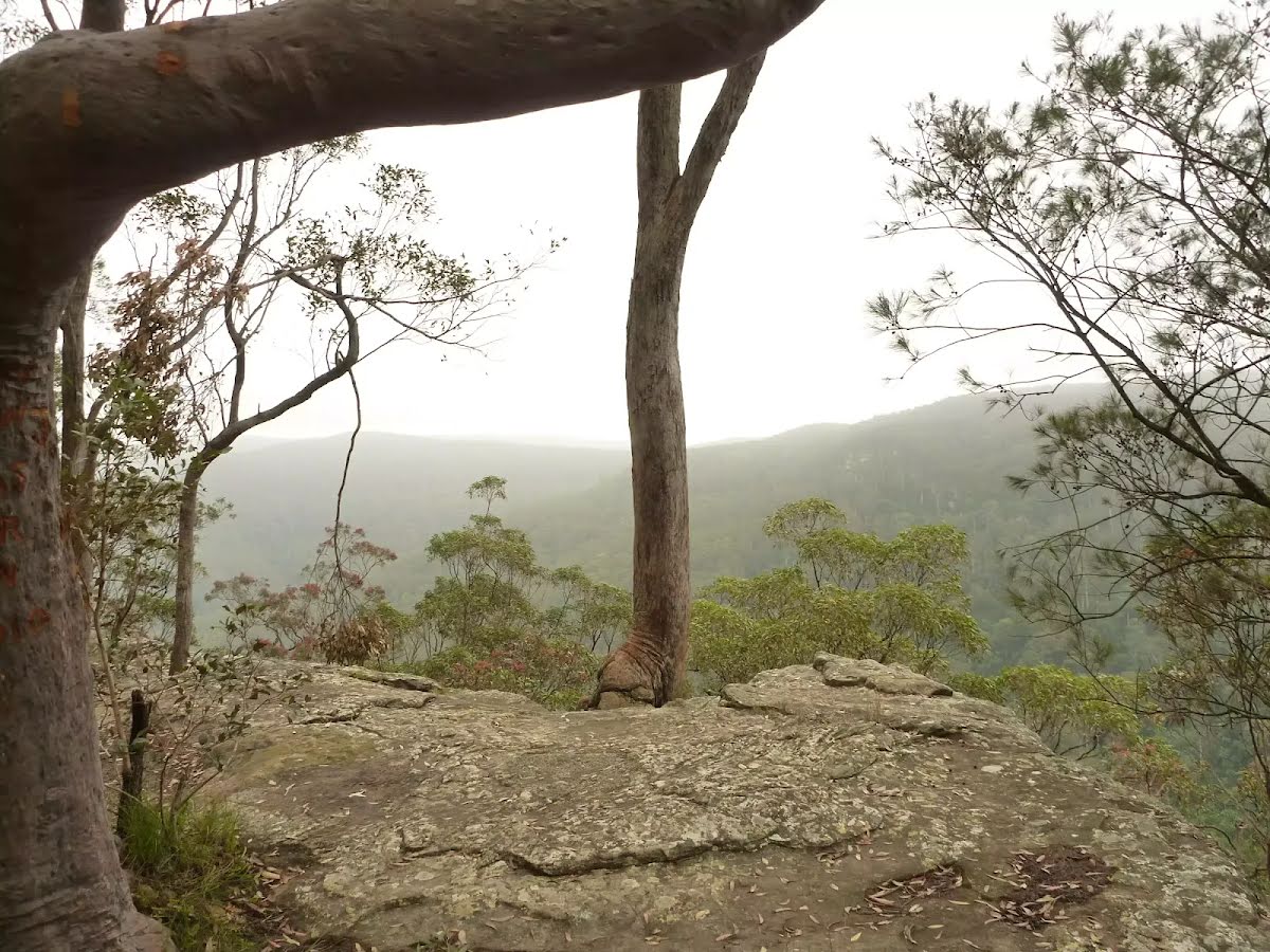
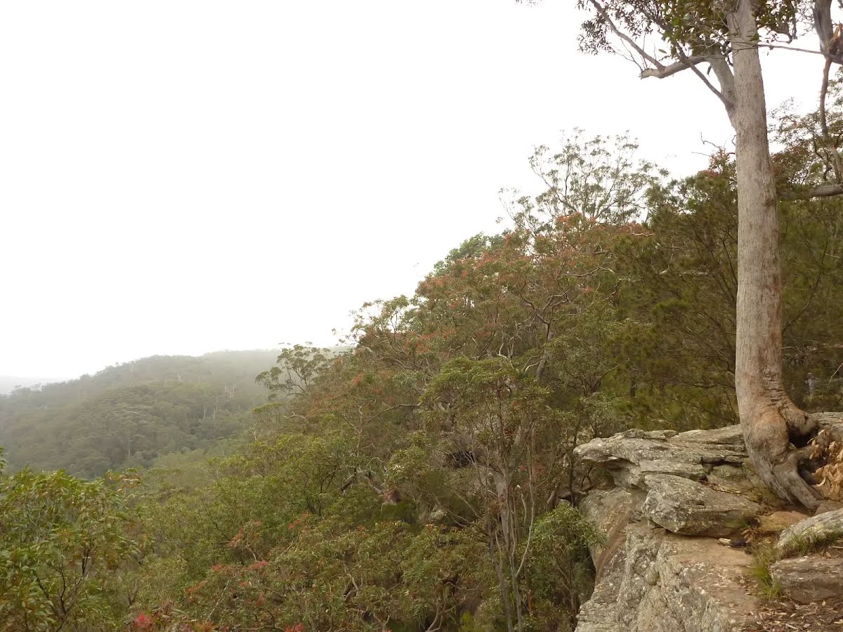
Closed areas: Gap Creek Forest Walk Part Closed Due to Landslip and Rockfall RiskGap Creek Forest Walk is part closed due to the risk of landslip and rockfall.
Penalties apply for non-compliance.
For more information, contact NPWS Central Coast office on 02 4972 9000
Alert kindly provided by © NSW Nataional Parks and Wildlife Service