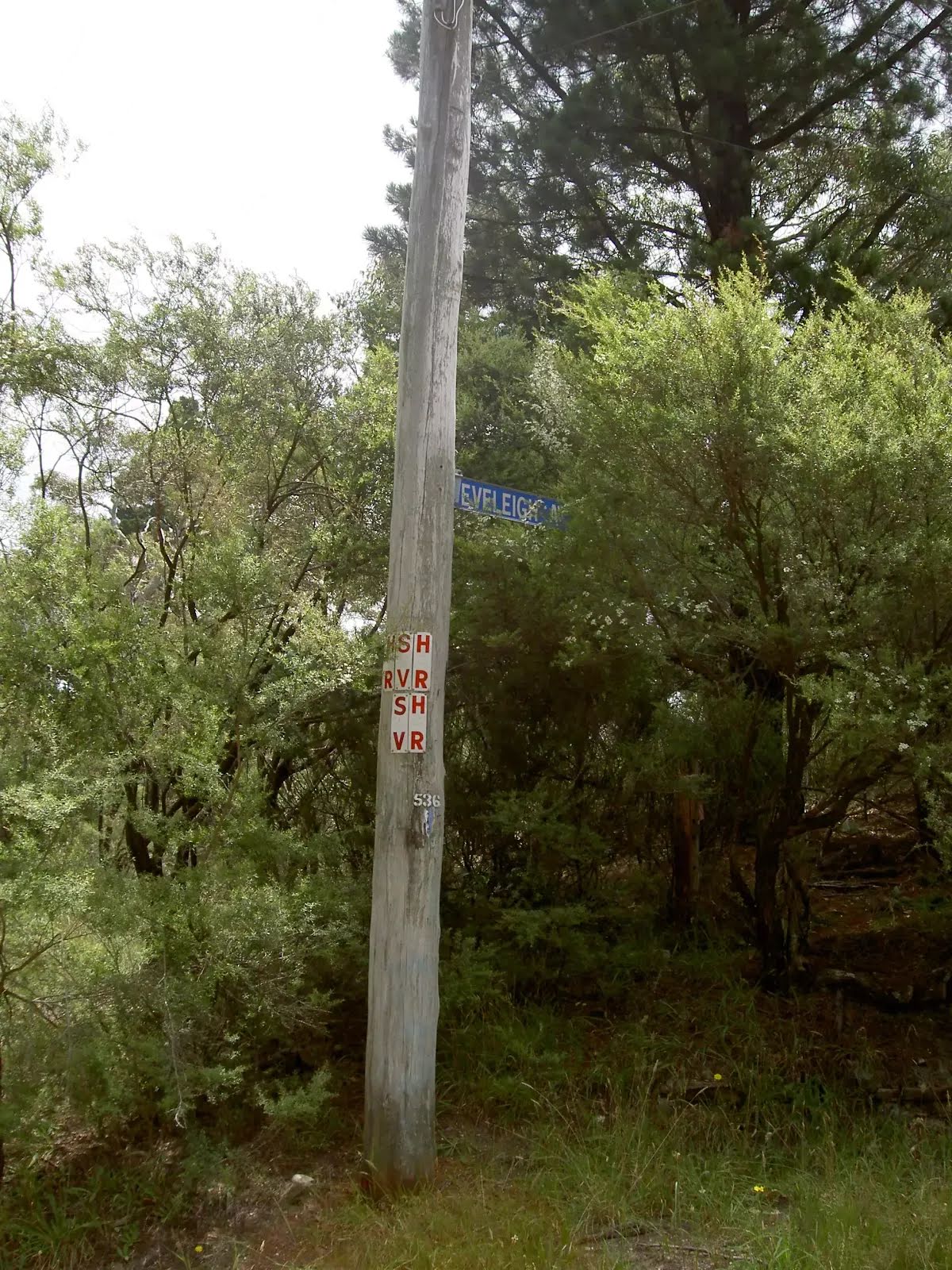

| Start | At the intersection of Eveleigh Avenue & Bundarra Street (-33.6349936,150.2804941) |
| Mode | Bus Car (There is free parking available.) Train |
| Directions | From Great Western Highway, A32
|
| Finish | (-33.6270985,150.2777814) |
| Mode (end) | Car Shuttle Bus Car (There is free parking available.) Train |
| Turn map | Directions & comments |
|---|---|
 |
|
 |
|
 |
|
 |
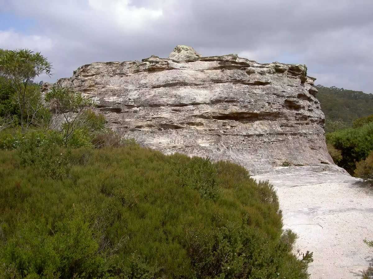
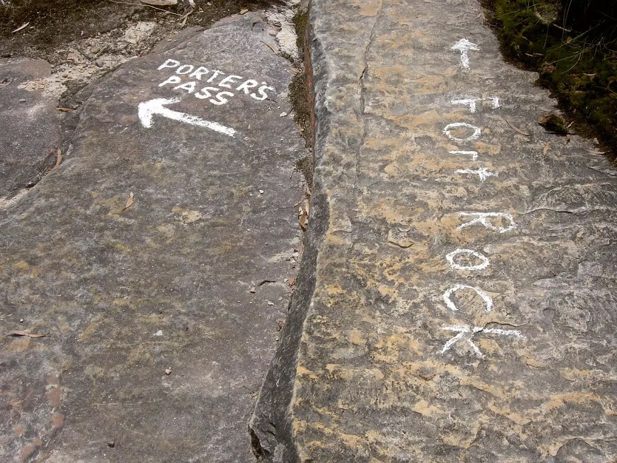
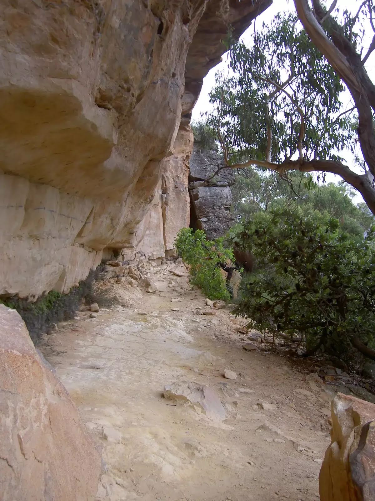
The starting point of an optional sidetrip. An optional side trip to Fort Rock. To start this optional side trip turn right here. On returning from this side trip error >360 when you get back to this intersection. Details below.
|
 |
|
 |
|
 |
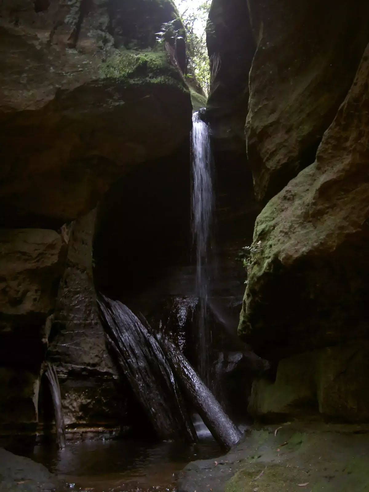
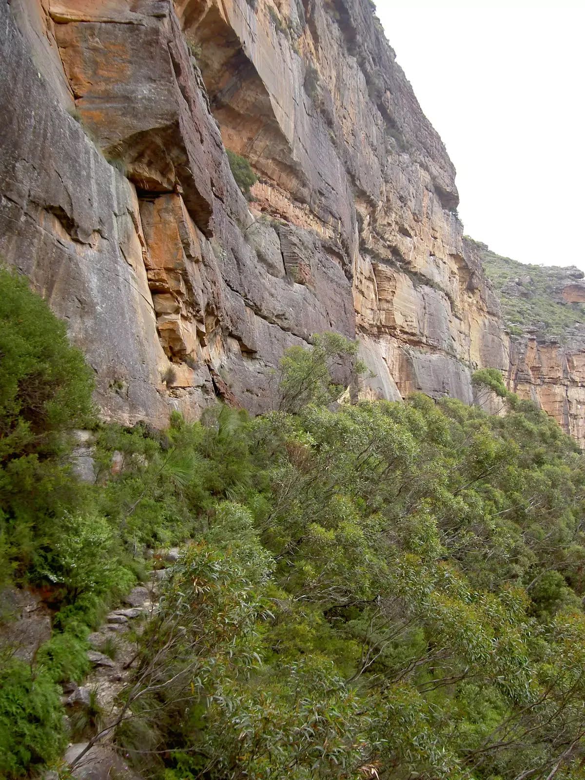
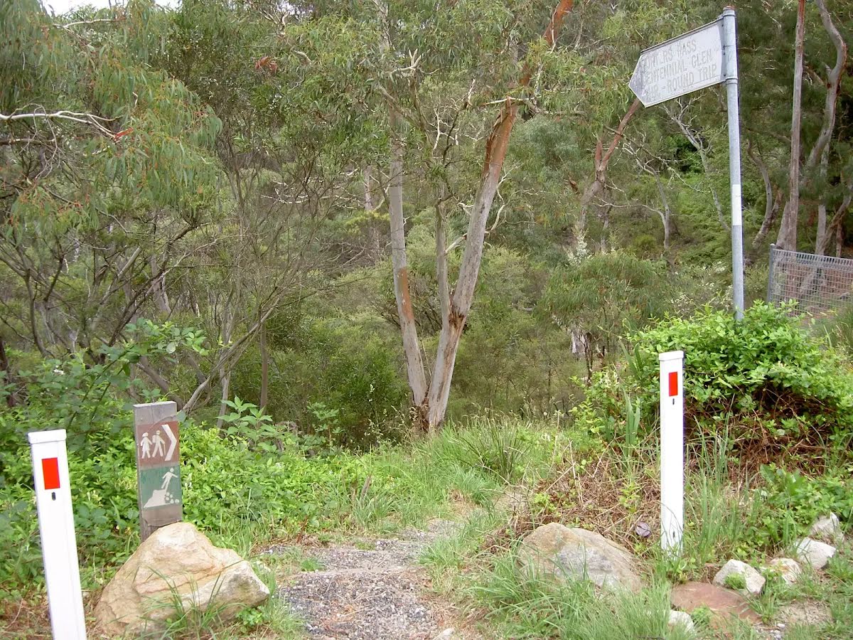
The starting point of an optional sidetrip. An optional side trip to Centennial Glen Waterfall. To start this optional side trip turn sharp right here. On returning from this side trip continue straight when you get back to this intersection. Details below.
|
 |
|
 |
|
 |
|
 |
|
 |
|
 |
| Turn map | Directions & comments |
|---|---|
 |
|
 |

|
|
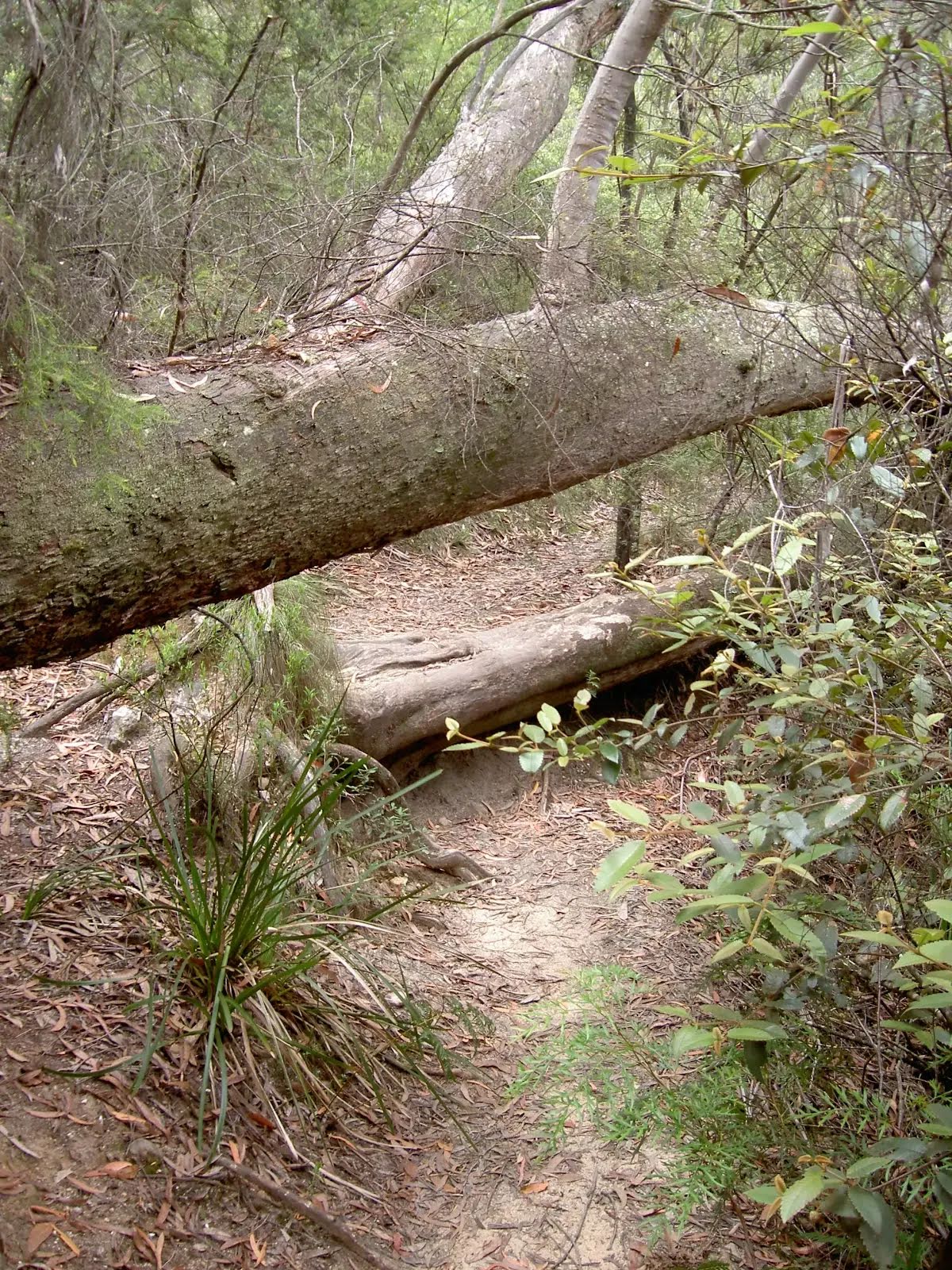
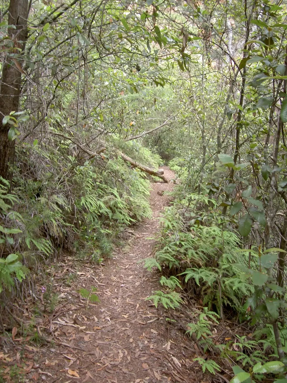
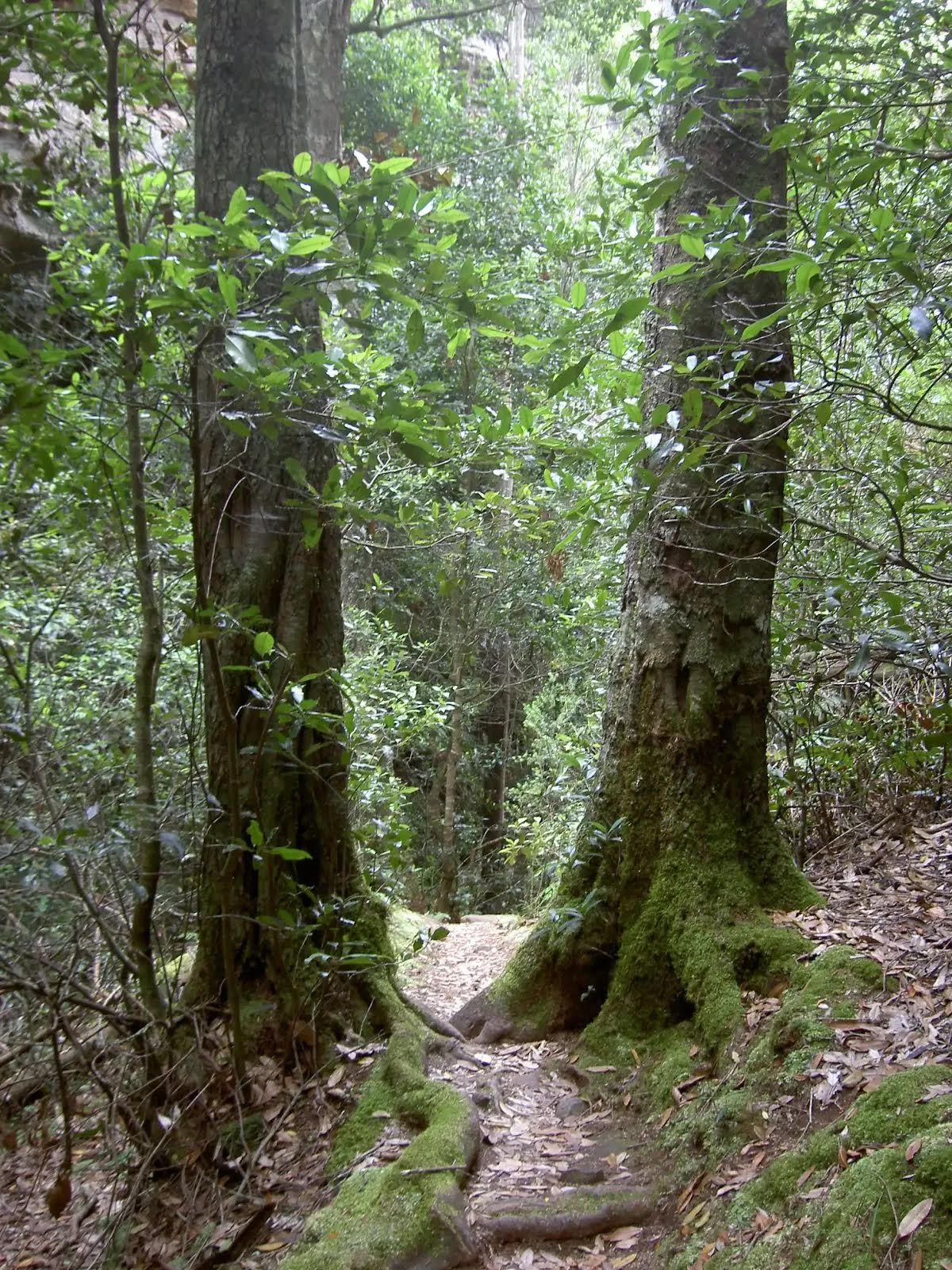
Class 4/6 Hard track |
|---|---|
| Length | 3.6 km |
| Time | 2 h to 2 h 45 min |
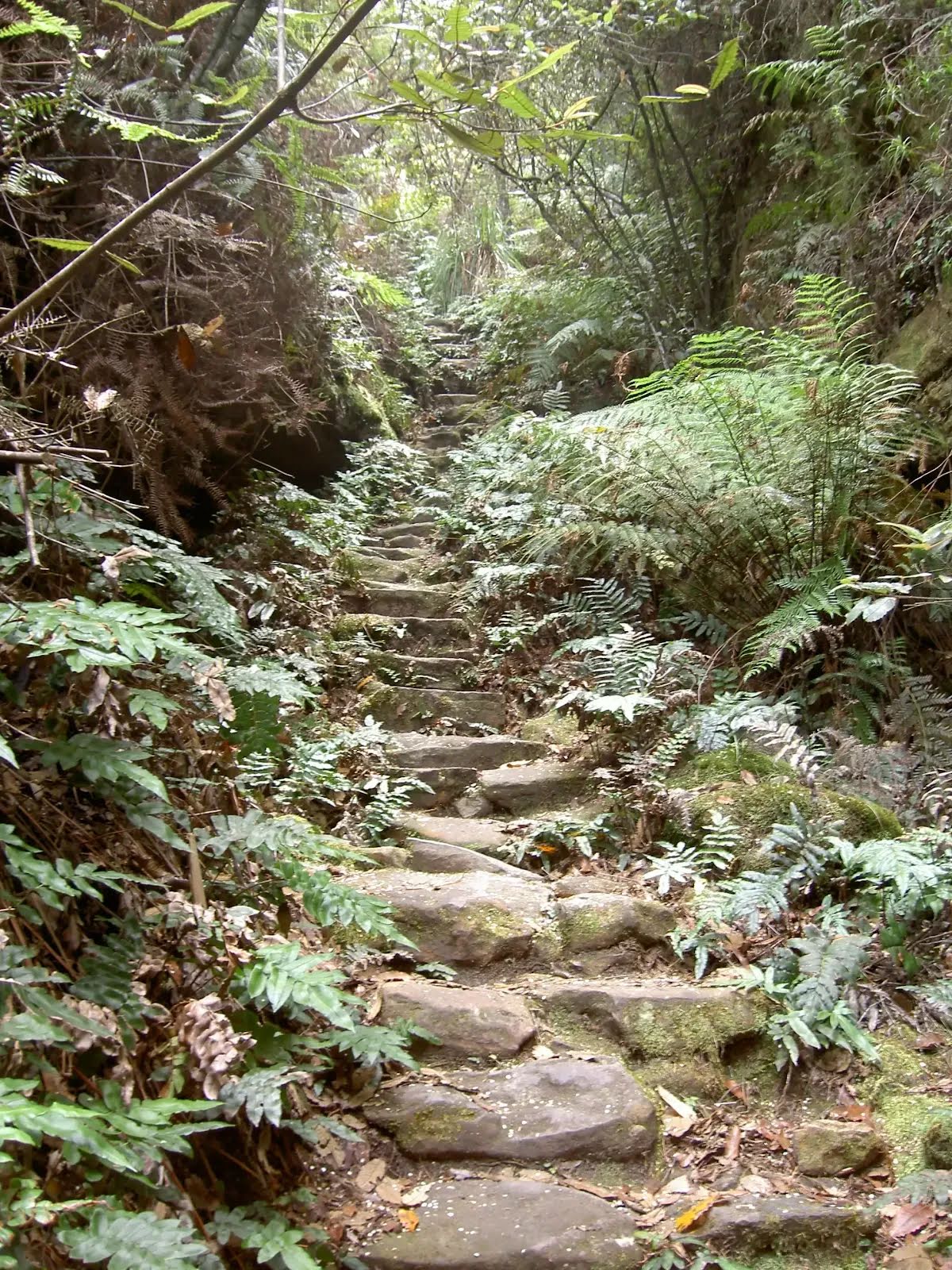
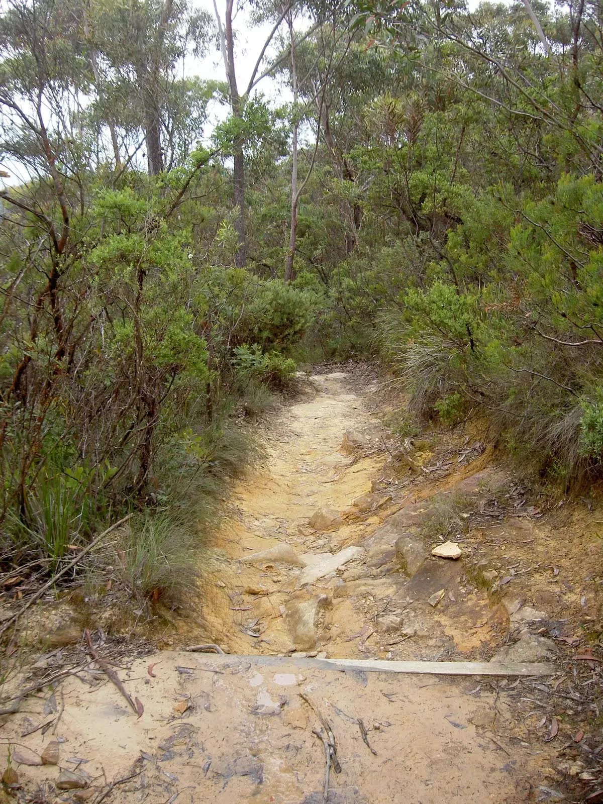
| Quality of track | Rough track, where fallen trees and other obstacles are likely (4/6) |
| Gradient | Short steep hills (3/6) |
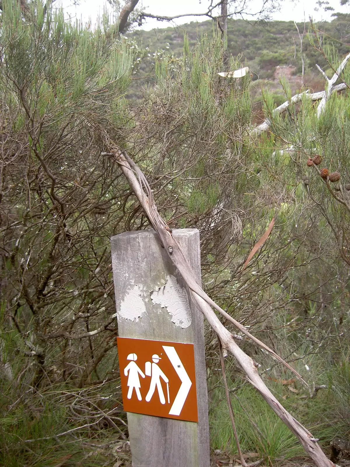
| Signage | Minimal directional signs (4/6) |
| Infrastructure | Limited facilities (such as cliffs not fenced, significant creeks not bridged) (4/6) |
| Experience Required | Some bushwalking experience recommended (3/6) |
| Weather | Weather generally has little impact on safety (1/6) |