Bittangabee Bay Picnic Area to the Storehouse
Yuin Country

20 min to 40 min

640 m
return

↑ 26 m
↓ -26 m

Hard track
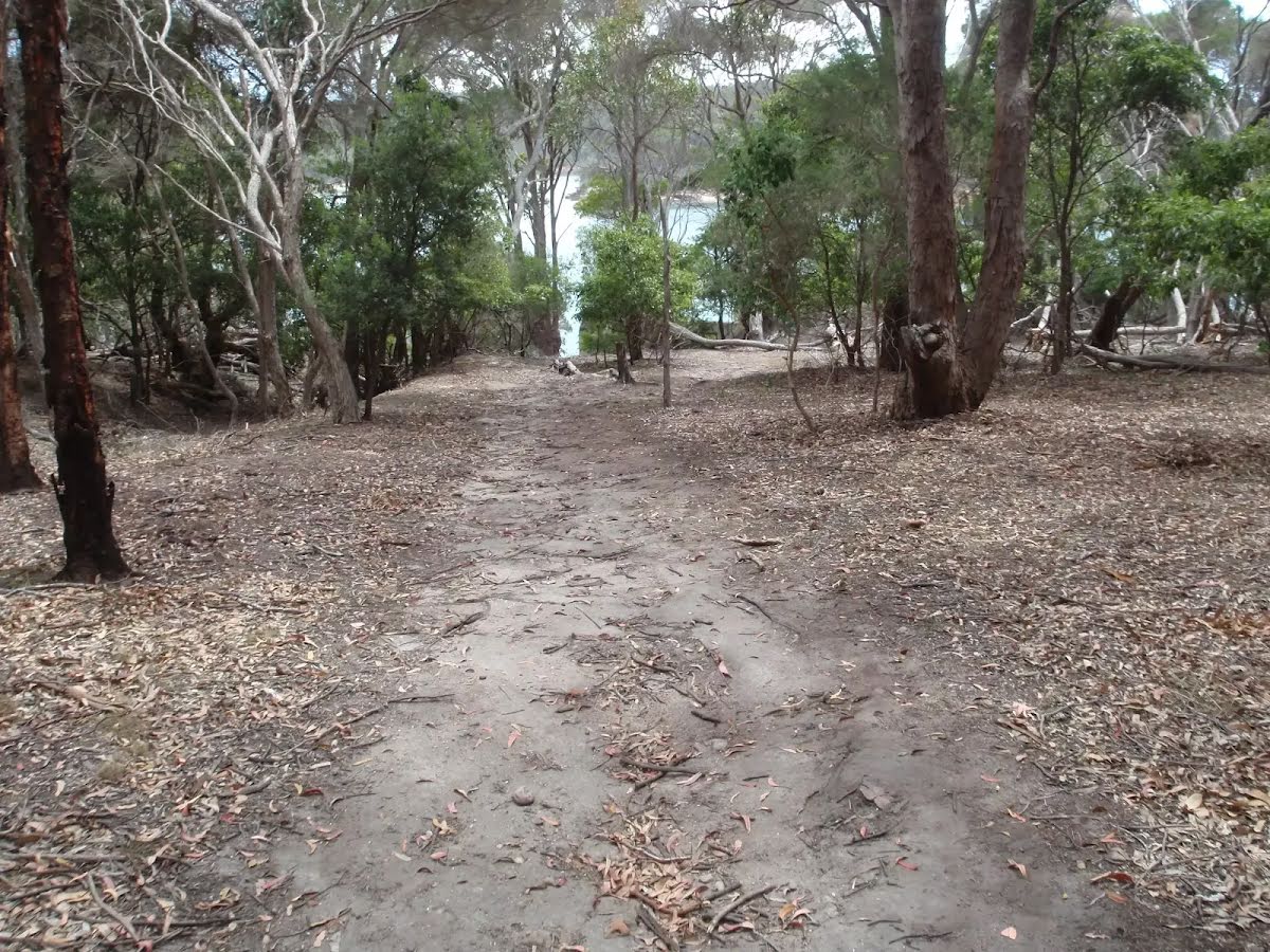
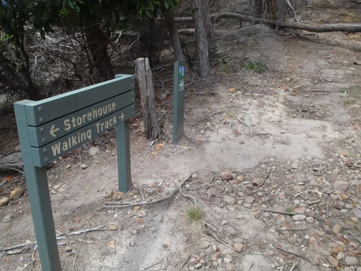
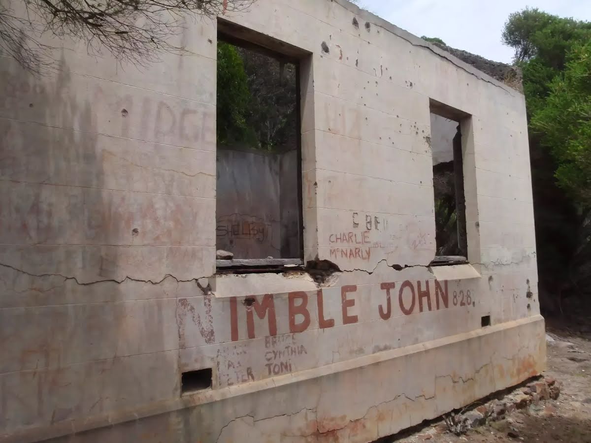
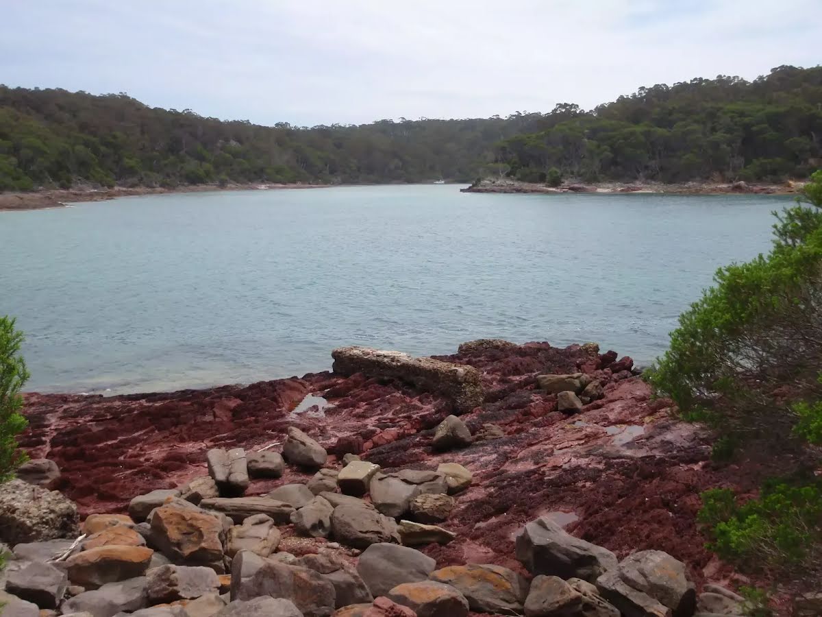
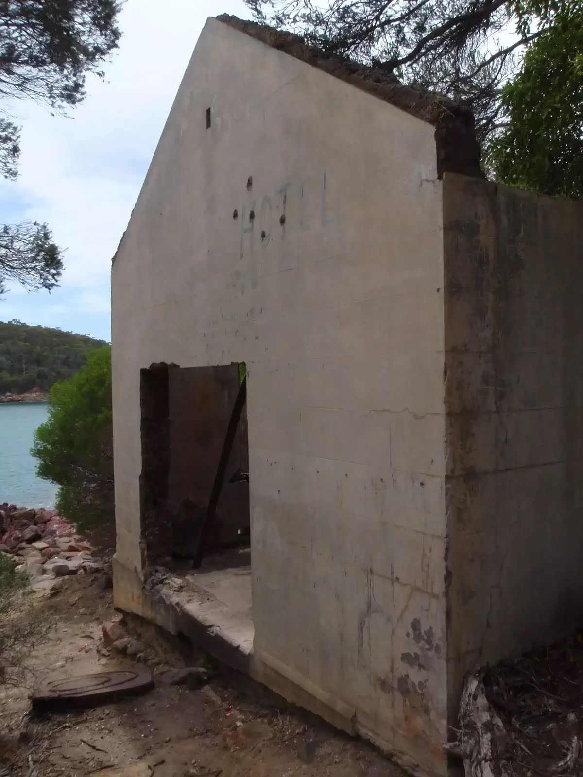
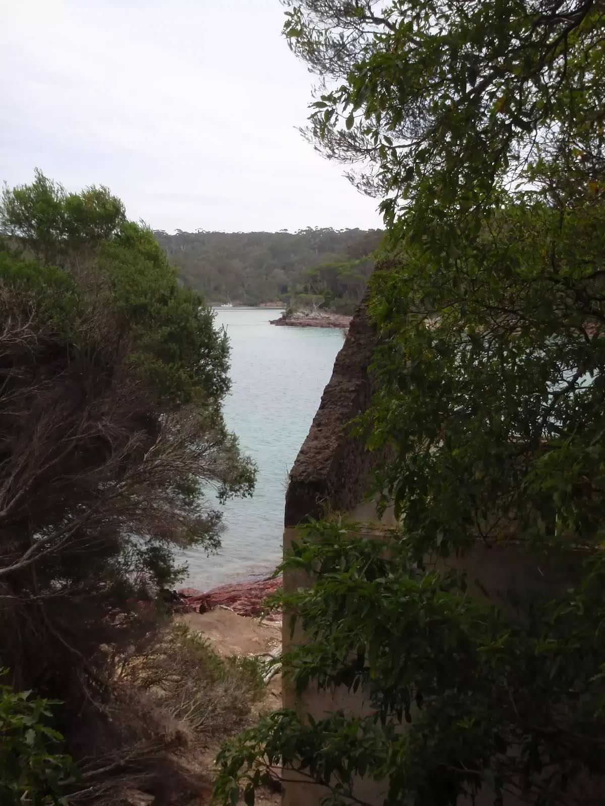
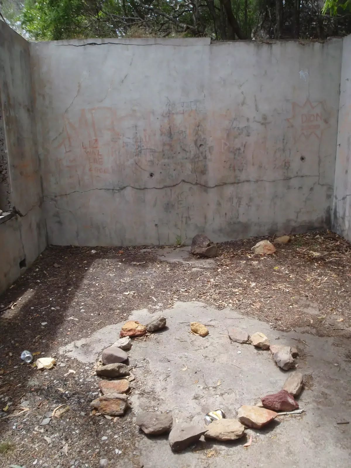
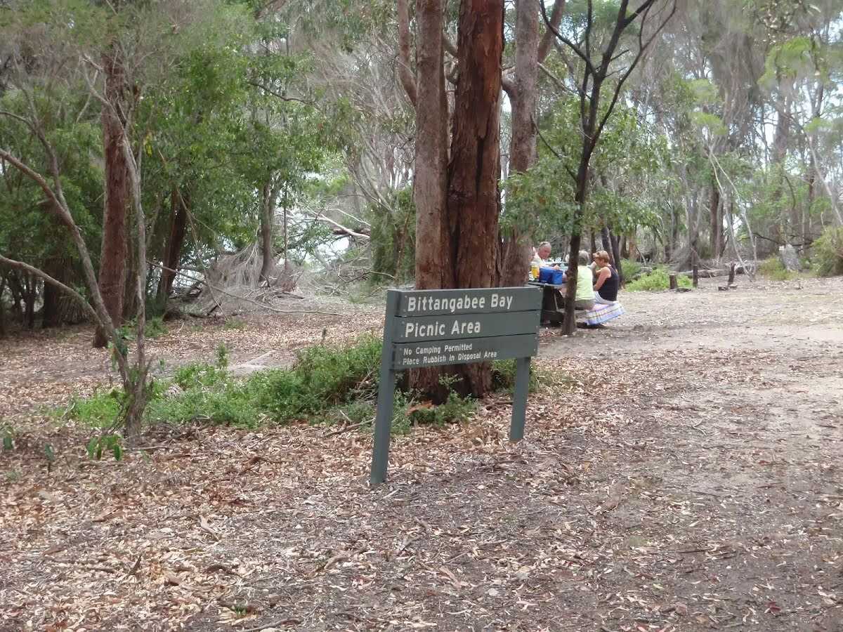
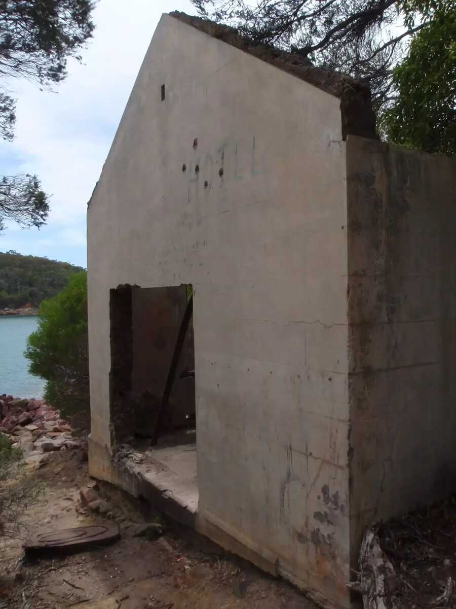
The walk to the old storehouse is an opportunity to explore some history of the region and see some fantastic rock platforms. The storehouse and wharf are perched just above the water, on the red rock of the bay. The view across the bay, with the contrast of the red rock, can be magical on sunny days. It is worth allowing time to explore the area, soaking up the natural and historical human efforts that make this area unique. Let us begin by acknowledging the Yuin people, Traditional Custodians of the land on which we travel today, and pay our respects to their Elders past and present. 
Show all
Bittangabee Picnic area and sign. | Photo by admin, 2009.
Track below road and camping area Bittangabee Bay. | Photo by admin, 2009.
Sign next to Bittangabee camping area. | Photo by admin, 2009.
Bittangabee camping area. | Photo by admin, 2009.
Track down to the Storehouse Bittangabee Bay. | Photo by admin, 2009.
Track down the hill to the Storehouse. | Photo by admin, 2009.
Signpost above storehouse. | Photo by admin, 2009.
Storehouse. | Photo by admin, 2009.
Ruins of the wharf. | Photo by admin, 2009.
Bittangabee storehouse. | Photo by admin, 2009.
Storehouse and Bittangabee Bay. | Photo by admin, 2009.
Inside the storehouse. | Photo by admin, 2009.
Downloads GPX PDF

+
-
Safer Bushwalks
Tips on staying safe on track
Before you start any bushwalk ensure you;
• Tell someone you trust where you are going and what to do if you are overdue
• Have adequate equipment, supplies, skills & knowledge for the whole journey
• Consider the impact of weather forecasts, park/track closures & fire dangers
• Can respond to emergencies & call for help at any point
• Are healthy and fit enough for this journey
If not, change plans and stay safe. It is okay to delay and ask people for help.
+
-
Getting There
Transport options and directions
Start (-37.2167421,150.0148564)
Mode Car (A park entry fee is required for driving into the park.)
DirectionsFrom Princes Highway, A1
  • Turn on to Edrom Road then drive for 5.7 km
  • Turn right onto Green Cape Road and drive for another 11.2 km
  • Turn left onto Green Cape Road and drive for another 4.6 km
  • Turn sharp left onto Bittangabee Road and drive for another 3 km
  • Turn left onto Bittangabee Road and drive for another 155 m
+
-
Track Notes
Turn by turn instructions & maps
Getting started
From the picnic area, the walk follows the sign to 'Camping Area 500m', keeping the car park on your right. The track leads below the road (above on the right) for some time, following the arrow markers to a signposted intersection next to the log road barriers.....
Turn map Directions & comments
Start heading along Light to Light Walk.
After another 25 m turn right, to head along Light to Light Walk.
Bittangabee Bay Picnic Area (about 7 m back from the start).
Bittangabee Bay Picnic Area

Bittangabee Bay Picnic Area is near Bittangabee Bay and camp area in Ben Boyd National Park. The picnic area is a day-use only area with a few picnic tables, an electric BBQ and a pit toilet. There is a reasonable amount of natural shade, and is close to a car park. There is short walk to the beach and ruins at Bittangabee Bay. The picnic area is well signposted on the loop road near the Bittangabee camping area.
+
-
Bittangabee Bay Picnic Area is near Bittangabee Bay and camp area in Ben Boyd National Park. The picnic area is a day-use only area with a few picnic tables, an electric BBQ and a pit toilet. There is a reasonable amount of natural shade, and is close to a car park. There is short walk to the beach and ruins at Bittangabee Bay. The picnic area is well signposted on the loop road near the Bittangabee camping area.

After another 245 m veer left.
Continue another 60 m to find the end. Then turn around here and retrace the main route for 320 m to get back to the start.
"Bittangabee Storehouse ruins".
Bittangabee Storehouse ruins

Bittangabee Storehouse ruins is located on the shore of Bittangabee Bay, near the campground, in Ben Boyd National Park. The concrete structure was built by Albert Aspinall (1839 - 1903) in 1881. The building was used to store material unloaded from ships onto a wooden jetty built at the same time. Aspinall then built a wooden tramway to move material and supplies to Green Cape to help in the construction of the lighthouse. The building is now a basic shell, missing roof, windows and a door. The concrete foundations of the timber wharf are still visible. Unfortunately, the building has been marred by graffiti, but is still worth the visit.
+
-
Bittangabee Storehouse ruins is located on the shore of Bittangabee Bay, near the campground, in Ben Boyd National Park. The concrete structure was built by Albert Aspinall (1839 - 1903) in 1881. The building was used to store material unloaded from ships onto a wooden jetty built at the same time. Aspinall then built a wooden tramway to move material and supplies to Green Cape to help in the construction of the lighthouse. The building is now a basic shell, missing roof, windows and a door. The concrete foundations of the timber wharf are still visible. Unfortunately, the building has been marred by graffiti, but is still worth the visit.

+
-
Terrain
Know the Hills, grading & facilities

Bittangabee Bay Picnic Area to the Storehouse


Grading
Class 4/6
Hard track
Length 640 m
Time 20 min to 40 min
Quality of track Formed track, with some branches and other obstacles (3/6)
Gradient Very steep (4/6)
Signage Directional signs along the way (3/6)
Infrastructure Generally useful facilities (such as fenced cliffs and seats) (1/6)
Experience Required No experience required (1/6)
Weather Weather generally has little impact on safety (1/6)
+
-
Articles
Discover more details to thrive on track
+
-
Reviews & Feedback
Share your experience
+
-
Weather & Alerts
Check forecasts & closures
Show Full Weather
Alerts and Closures
Show all alerts
Show all alerts
Show all alerts
+
-
Other Journeys
Discover nearby and similar journeys
Some of the information and maps on this page was generated using data from the awesome © OpenStreetMap contributors.
Please see how you can embed some widgets, access data and other stuff to that might be helpful.