| Turn map |
Directions & comments |
|
|

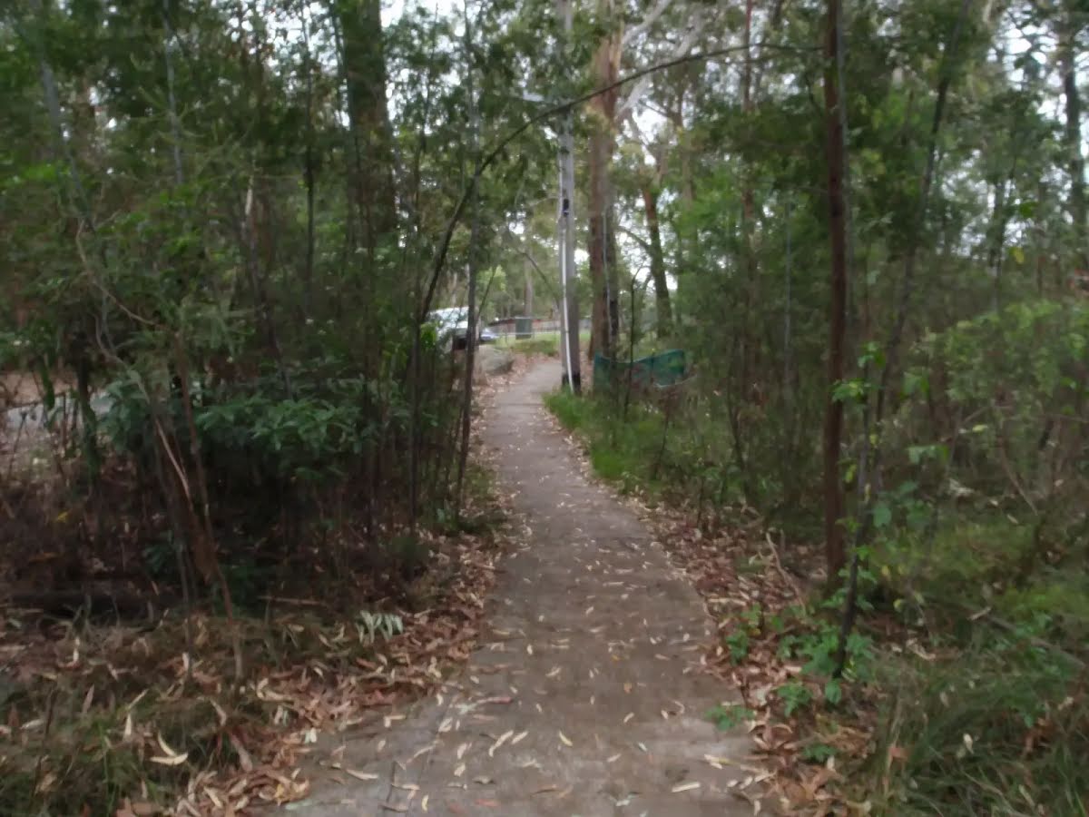
Start.
|
|
|

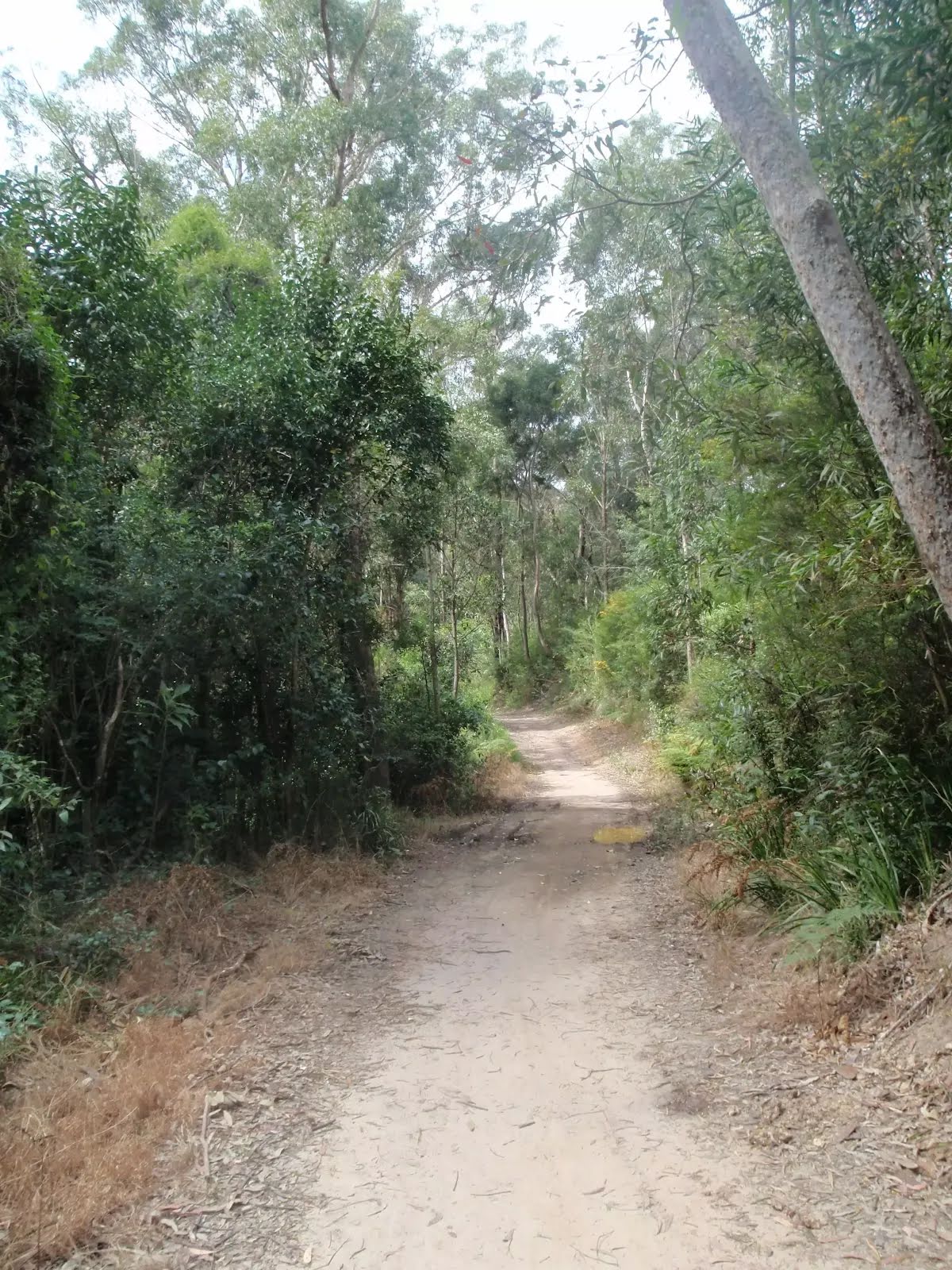
After another 8 m continue straight.

Then cross the bridge (about 4 m long)
|
|
|

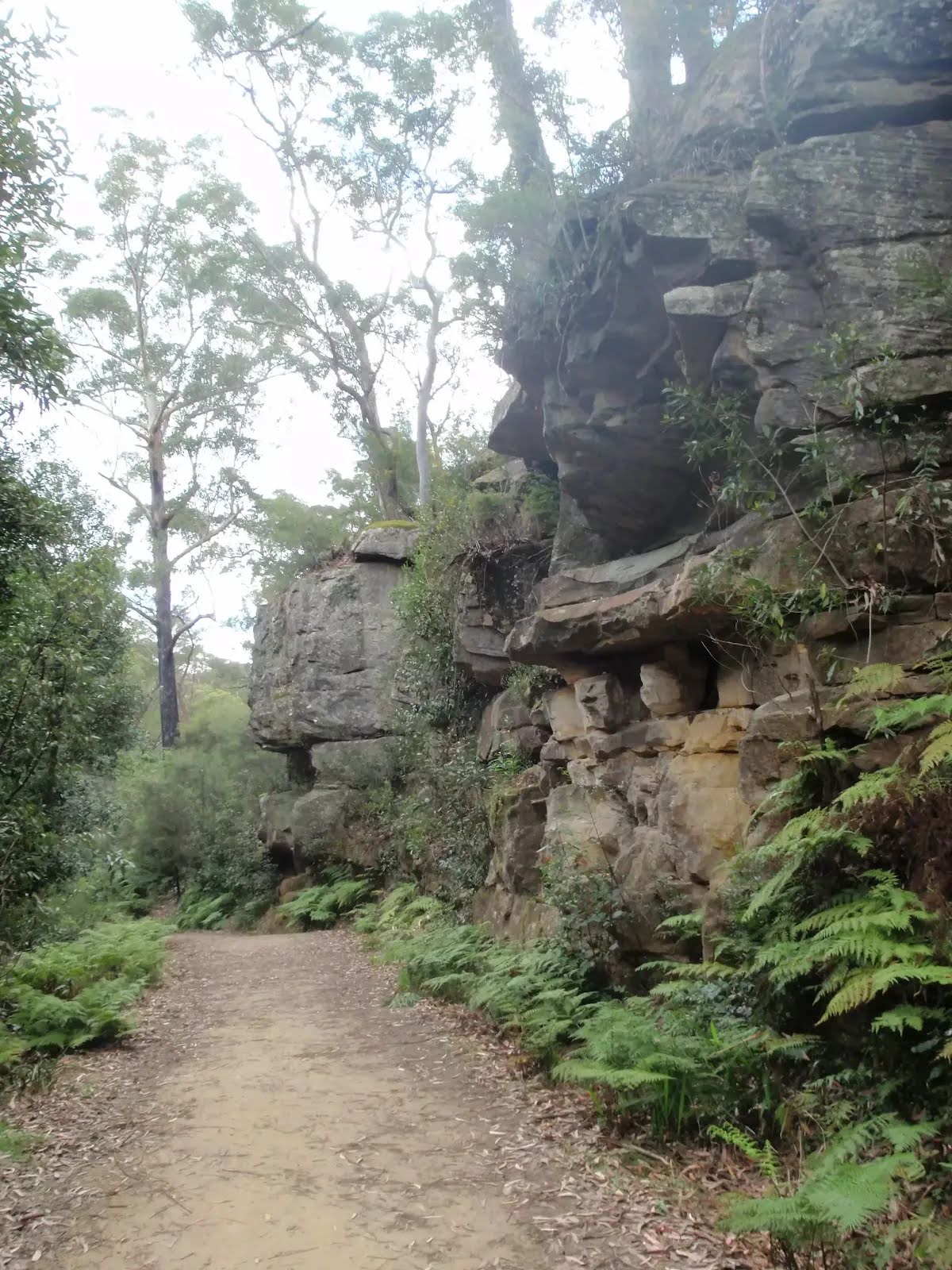
Veer right.

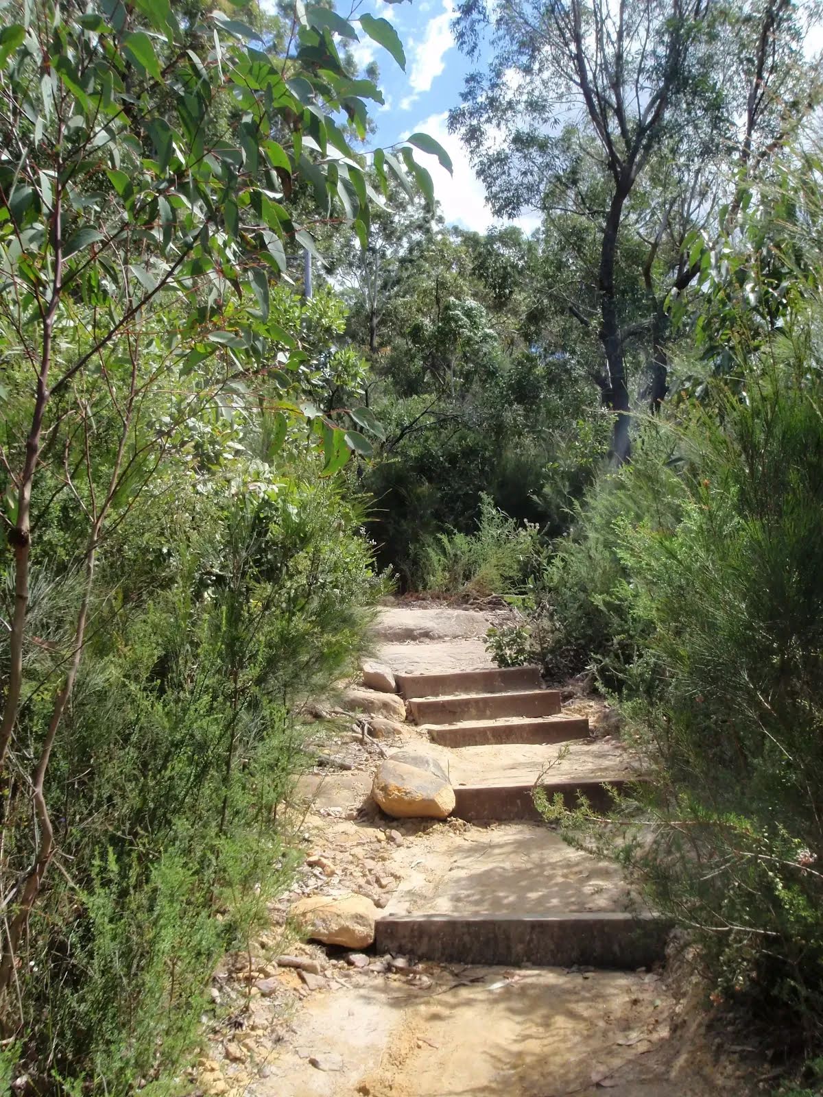
Then head down the steps (about 5 m long)
|
|
|

Turn right.
|
|
|

After another 85 m turn left.
|
|
|
After another 10 m (from the Railway Street) turn right, to head along Railway Street (a vehicle track).
After another 20 m (at the intersection of Pennant Hills Road & Railway Street) continue straight (a residential road).
|
|
|
After another 10 m (at the intersection of The Crescent & Pennant Hills Road) continue straight, to head along The Crescent.
|
|
|

After another 235 m (at the intersection of Britannia Street & The Crescent) veer left, to head along Britannia Street.
|
|
|
After another 75 m (at the intersection of Britannia Street & Charlotte Road) continue straight, to head along Britannia Street.
|
|
|
After another 145 m (at the intersection of Britannia Street & Cladden Close) continue straight, to head along Britannia Street.
|
|
|
After another 70 m (at the intersection of Britannia Street & Cecil Avenue) continue straight, to head along Britannia Street.
|
|
|
After another 60 m (from the Britannia Street) continue straight, to head along Britannia Street.
|
|
|
After another 80 m (from the Britannia Street) continue straight, to head along Britannia Street.

After another 20 m pass the toilet (15 m on your left).

After another 45 m pass the water tap (10 m on your left).

After another 20 m pass a seat (30 m on your left).
|
|
|
From the Britannia Street continue straight, to head along Britannia Street.
|
|
|
After another 35 m (from the Britannia Street) turn left (a vehicle track).
|
|
|
After another 10 m turn left.
|
|
|
After another 8 m (from the Mambara Track) continue straight.
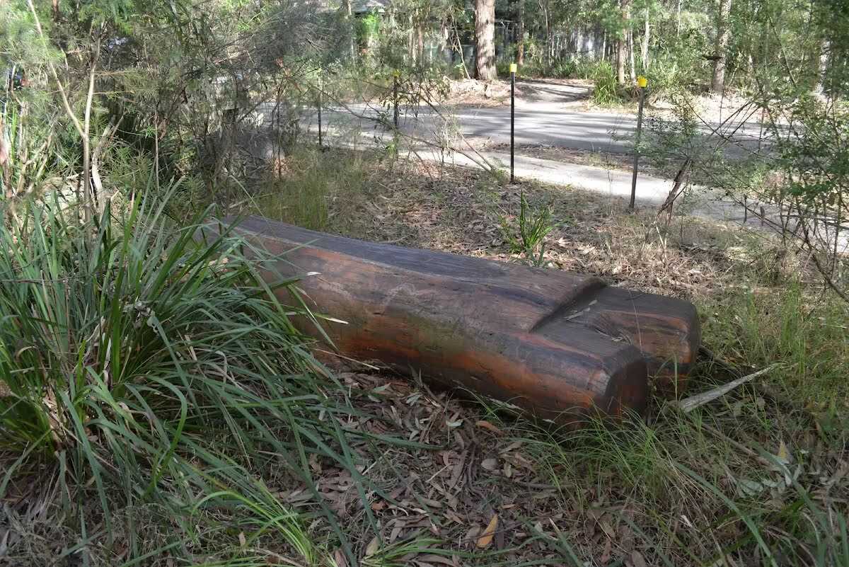
After another 7 m find the "Seat" (15 m on your right).
|
|
|
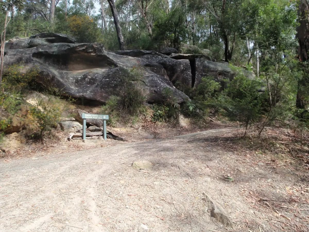
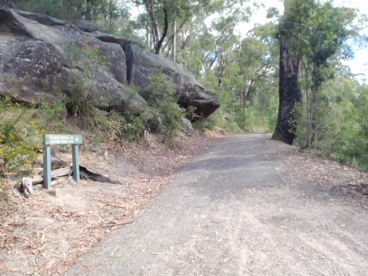
After another 30 m turn right.

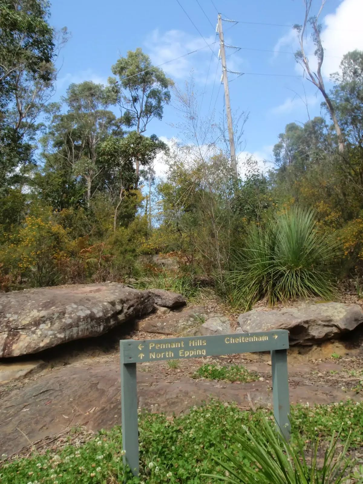
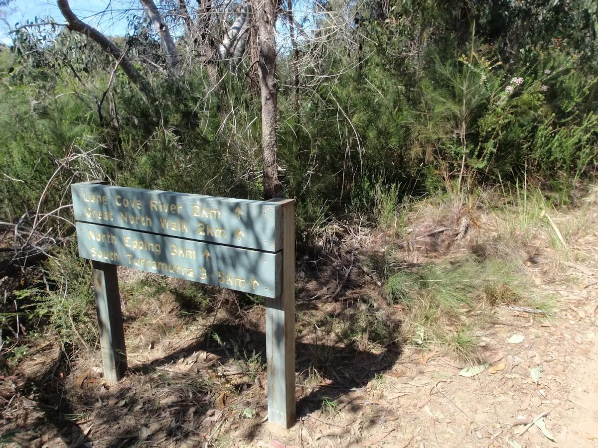
After another 40 m pass the sign (25 m on your right).
|
|
|
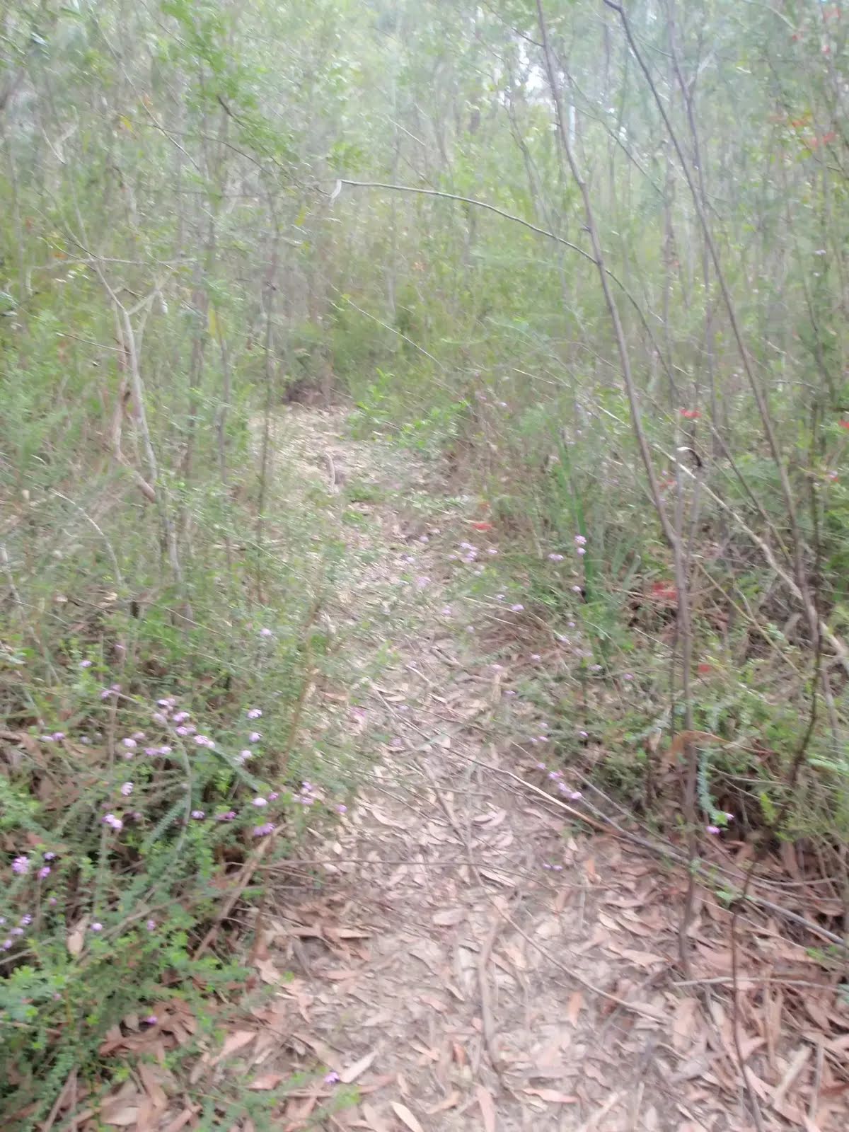
After another 5 m (from the Mambara Track) turn left, to head along Mambara Track.
|
|
|
After another 225 m (from the Mambara Track) veer left.
|
|
|
After another 185 m (from the Kurrajong Walking Track) turn left, to head along Kurrajong Walking Track.
|
|
|
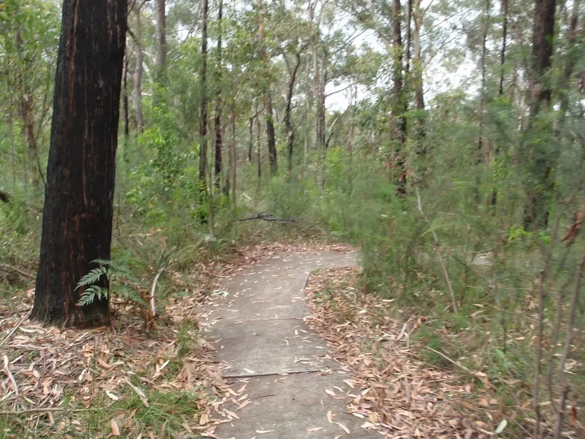
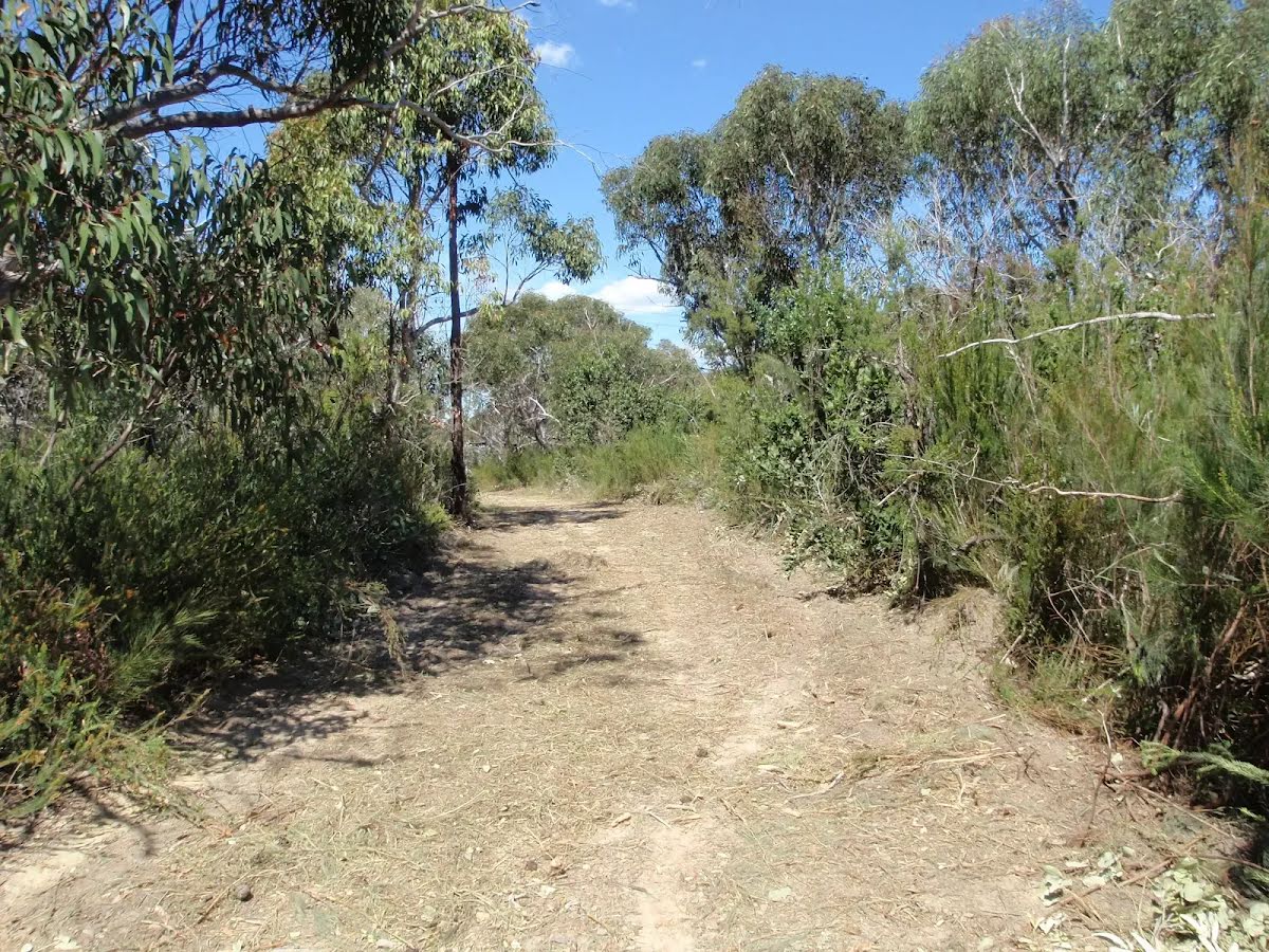
After another 460 m (from the Kurrajong Walking Track) continue straight, to head along Kurrajong Walking Track.
|
|
|
After another 55 m (from the Kurrajong Walking Track) veer right, to head along Kurrajong Walking Track.
|
|
|
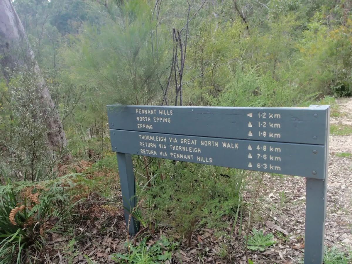
After another 135 m (from the Kurrajong Walking Track) turn right, to head along Kurrajong Walking Track.
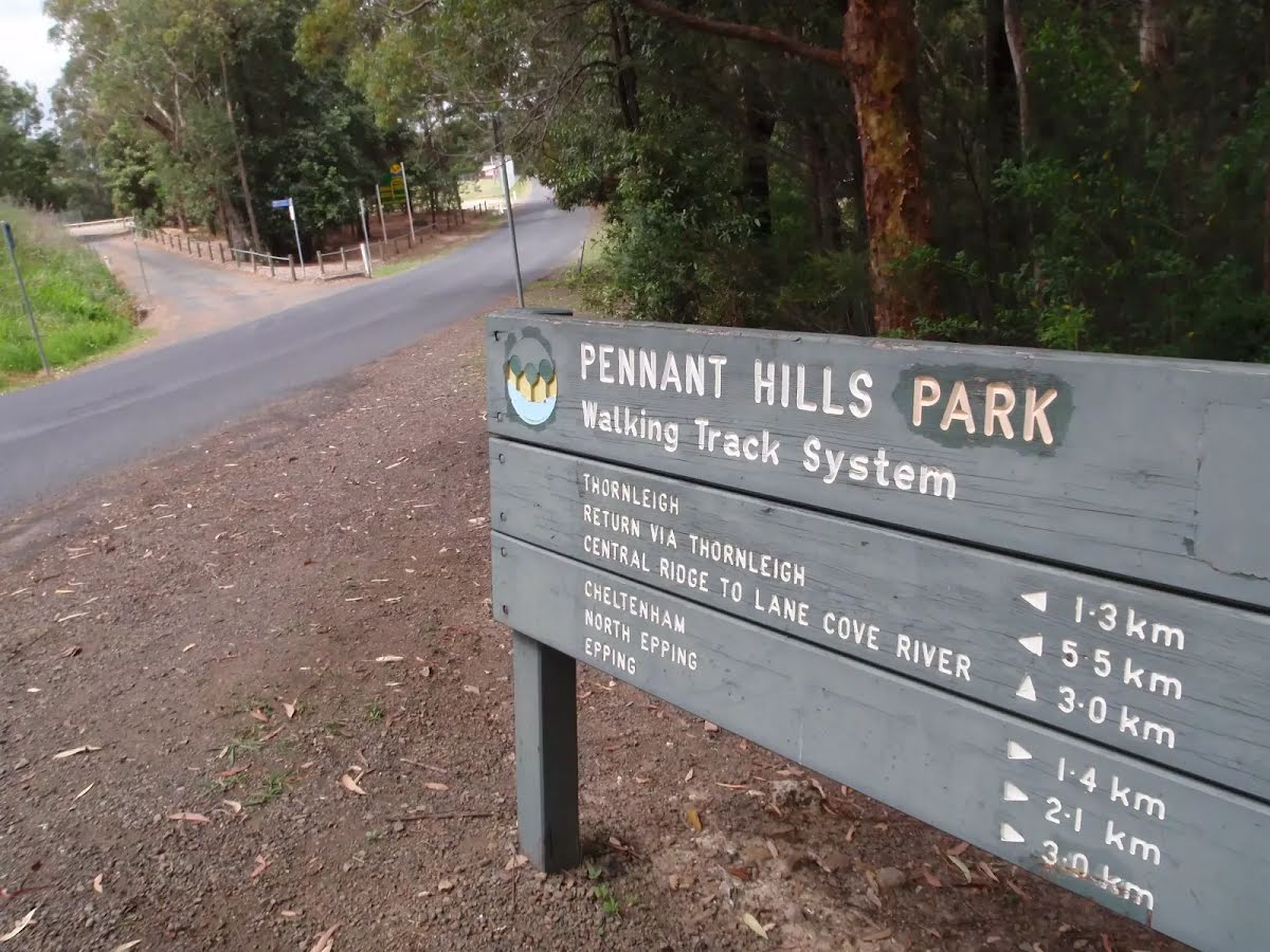
After another 40 m pass the sign (about 20 m ahead).
|
|
|
From the Kurrajong Walking Track turn left.
|
|
|
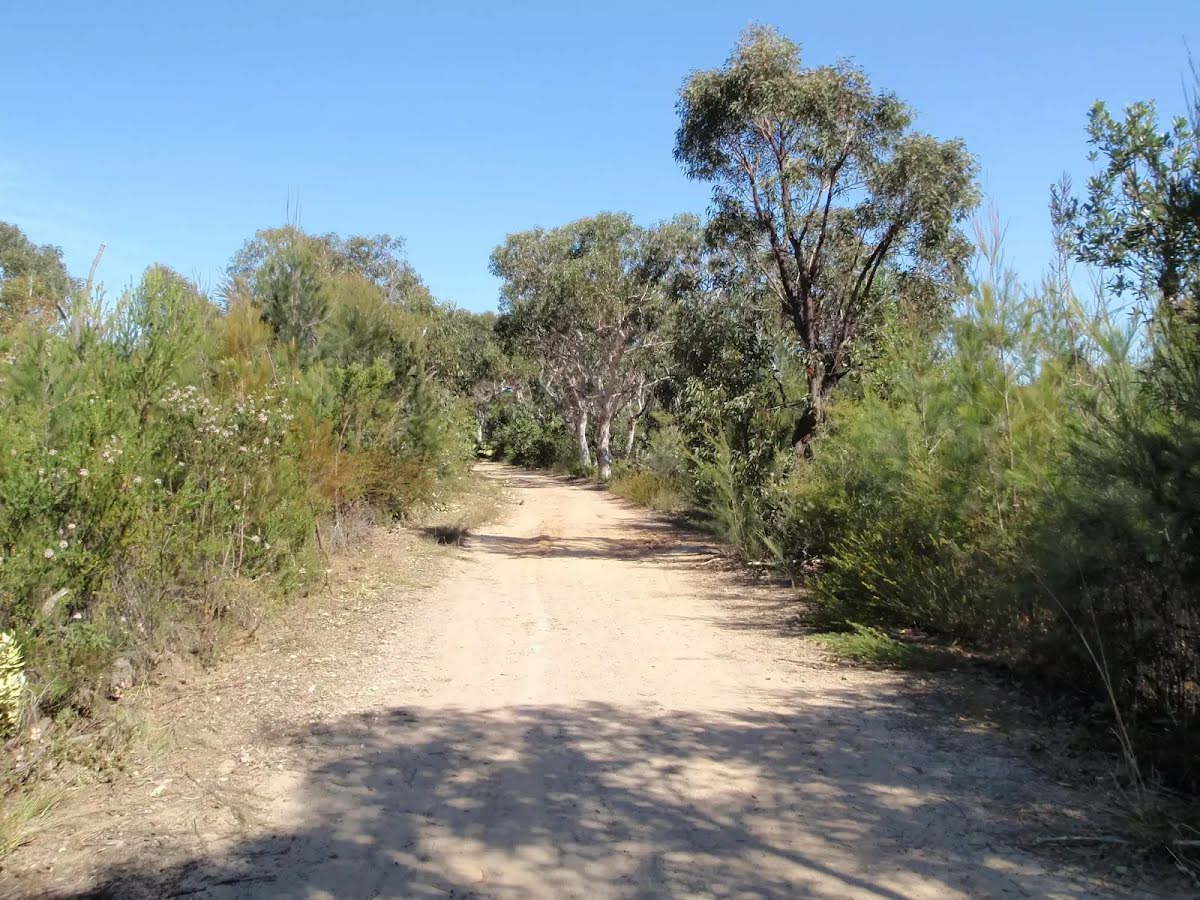
After another 40 m (from the Day Road Fire Trail) continue straight, to head along Day Road Fire Trail (a vehicle track).

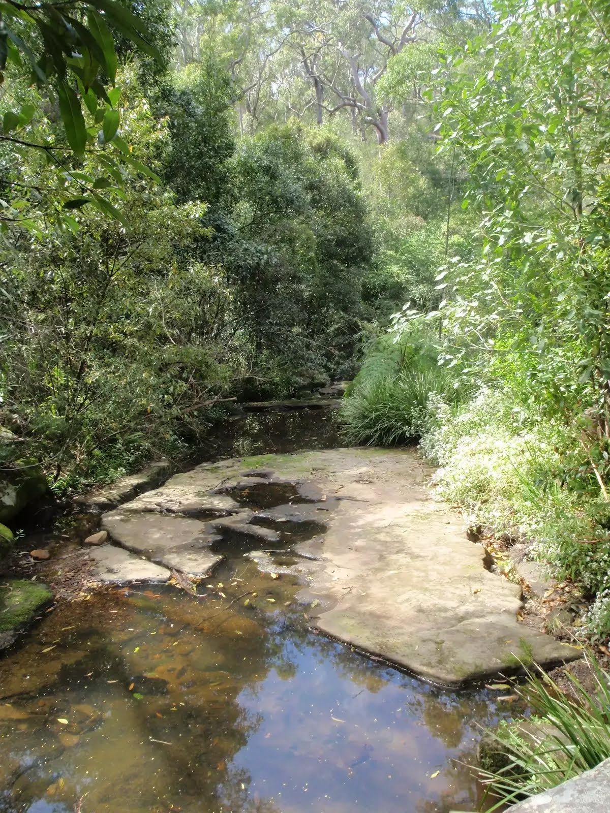
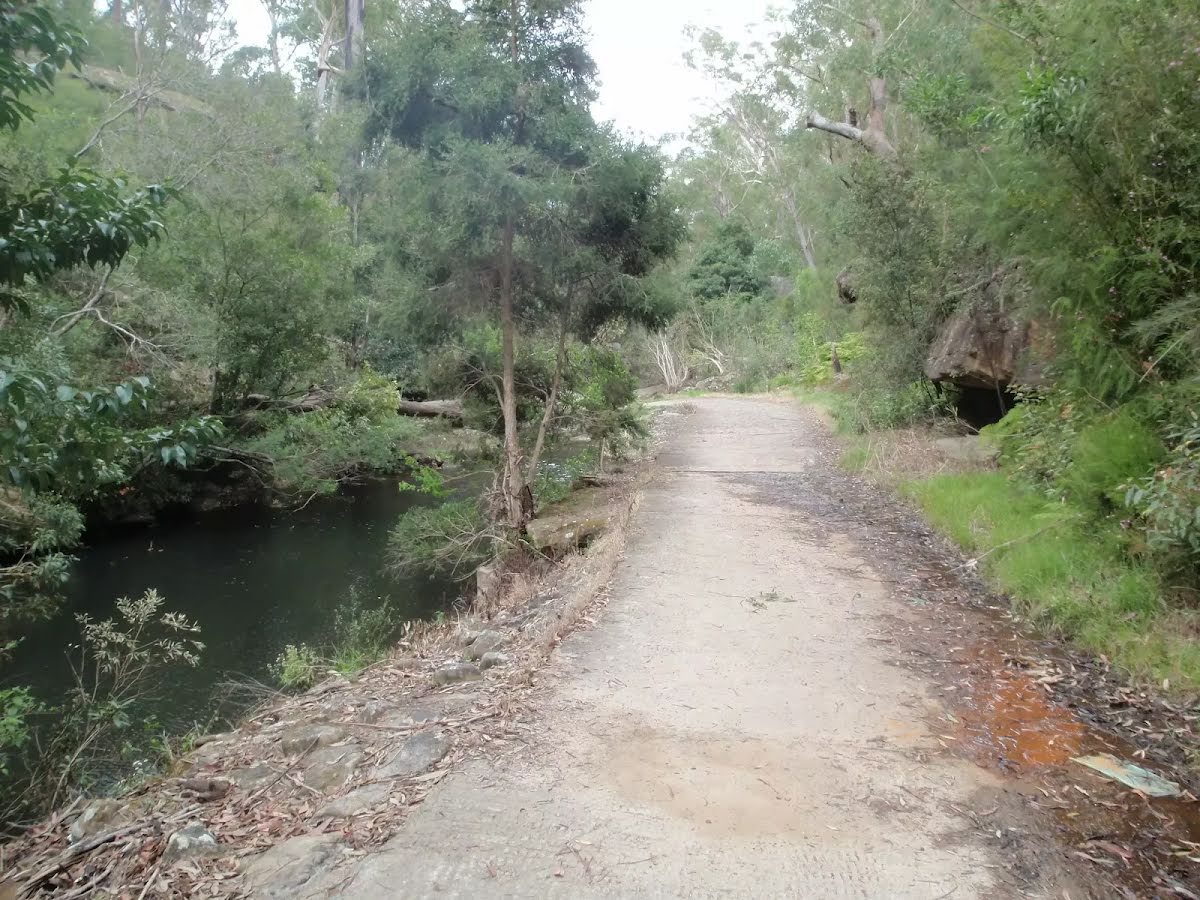
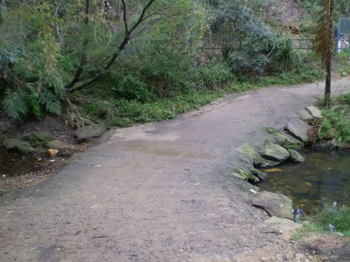
After another 270 m cross the ford (about 30 m long)
|
|
|
From the Devlins Creek Trail continue straight, to head along Devlins Creek Trail.
After another 10 m pass the sign (9 m on your left).

After another 190 m find the "Big Ducky Waterhole" (on your left).
|
|
|
After another 460 m (at the intersection of Devlins Creek Trail & Boundary Road Firetrail) continue straight, to head along Devlins Creek Trail.
After another 265 m cross the ford (about 40 m long)
After another 70 m cross the ford (about 30 m long)
|
|
|
After another 210 m (from the Devlins Creek Trail) continue straight, to head along Devlins Creek Trail.
Then cross the ford (about 25 m long)
|
|
|
After another 160 m (at the intersection of Pennant Hills Trail & Devlins Creek Trail) turn left, to head along Pennant Hills Trail.

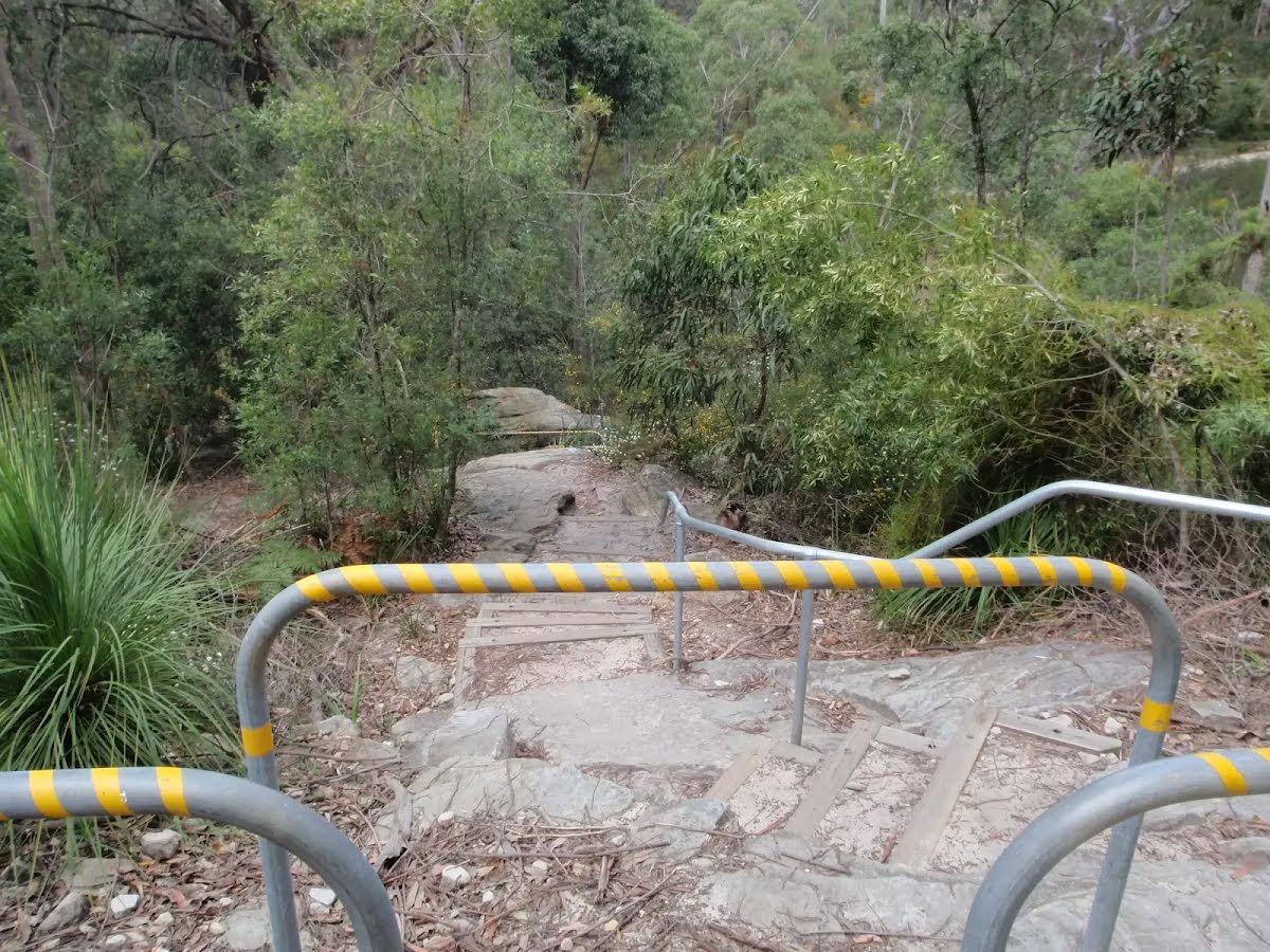
Then head up the very steep (10% ~ 5.7°) concrete incline (about 75 m long)
Then pass the sign (5 m on your right).

After another 10 m pass the "Bradley Reserve" (30 m on your right).
After another 250 m head up the very steep (20% ~ 11.3°) concrete incline (about 170 m long)
After another 330 m (from the Pennant Hills Trail) continue straight, to head along Pennant Hills Trail.
|
|
|
After another 410 m (from the Pennant Hills Trail) continue straight, to head along Pennant Hills Trail.
After another 160 m (from the Pennant Hills Trail) continue straight, to head along Pennant Hills Trail.
|
|
|
After another 70 m (from the Pennant Hills Trail) turn right, to head along Pennant Hills Trail.
|
|
|
After another 215 m (at the intersection of Model Aircraft Trail & Pennant Hills Trail) veer left, to head along Model Aircraft Trail.
|
|
|
After another 270 m (from the Model Aircraft Trail) turn right (a service road).
|
|
|
After another 255 m continue straight.

After another 110 m pass the playground (25 m on your left).
|
|
|
After another 110 m continue straight.

After another 55 m pass the "Netball" (on your right).
|
|
|
After another 20 m continue straight.
|
|
|
After another 80 m continue straight.
After another 85 m pass the car park (10 m on your right).
|
|
|
Continue straight.
|
|
|
After another 15 m continue straight.
After another 65 m continue straight.
After another 70 m (from the Mambara Track) continue straight.
|
|
|
After another 8 m turn right.
|
|
|
After another 10 m (from the Britannia Street) turn right, to head along Britannia Street (a residential road).
After another 120 m (from the Britannia Street) continue straight, to head along Britannia Street.
After another 360 m (at the intersection of Britannia Street & Charlotte Road) continue straight, to head along Britannia Street.
|
|
|
After another 75 m (at the intersection of The Crescent & Britannia Street) veer right, to head along The Crescent.
|
|
|
After another 235 m (at the intersection of Pennant Hills Road & The Crescent) continue straight.
|
|
|
After another 10 m (at the intersection of Railway Street & Pennant Hills Road) continue straight, to head along Railway Street (a vehicle track).
|
|
|
After another 20 m (from the Railway Street) turn left (a footpath).
|
|
|
After another 10 m turn right.
|
|
|
After another 85 m turn left.

Then head up the steps (about 5 m long)
|
|
|

The end.
|