| Start | (-37.1044837,149.9512282) |
| Mode | Car (A park entry fee is required for driving into the park.) |
| Directions | From Princes Highway, A1
|
| Turn map | Directions & comments |
|---|---|
 |
|
 |
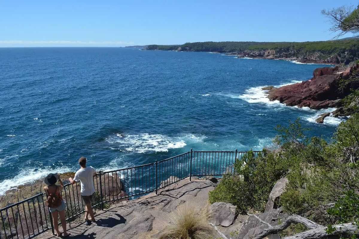
The starting point of an optional sidetrip. An optional side trip to Red Point Lookout. To start this optional side trip continue straight here. On returning from this side trip turn right when you get back to this intersection. Details below.
|
 |
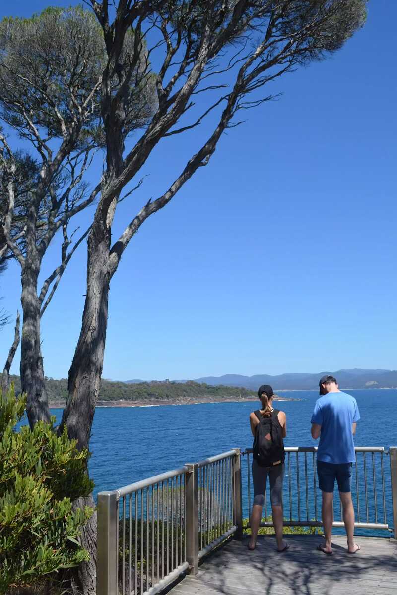
The starting point of an optional sidetrip. An optional side trip to Twofold Bay lookout. To start this optional side trip turn left here. On returning from this side trip turn around when you get back to this intersection. Details below.
Continue another 20 m to find the end. Then turn around here and retrace the main route for 290 m to get back to the start.
|
 |
|
 |
|

|
|
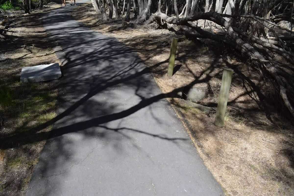
Class 1/6 Smooth & flat |
|---|---|
| Length | 580 m |
| Time | 10 min to 15 min |
| Quality of track | Smooth and hardened path (1/6) |
| Gradient | Flat, no steps (1/6) |
| Signage | Clearly signposted (1/6) |
| Infrastructure | Generally useful facilities (such as fenced cliffs and seats) (1/6) |
| Experience Required | No experience required (1/6) |
| Weather | Weather generally has little impact on safety (1/6) |
| Item | From Start | Name & link to notes |
|---|---|---|
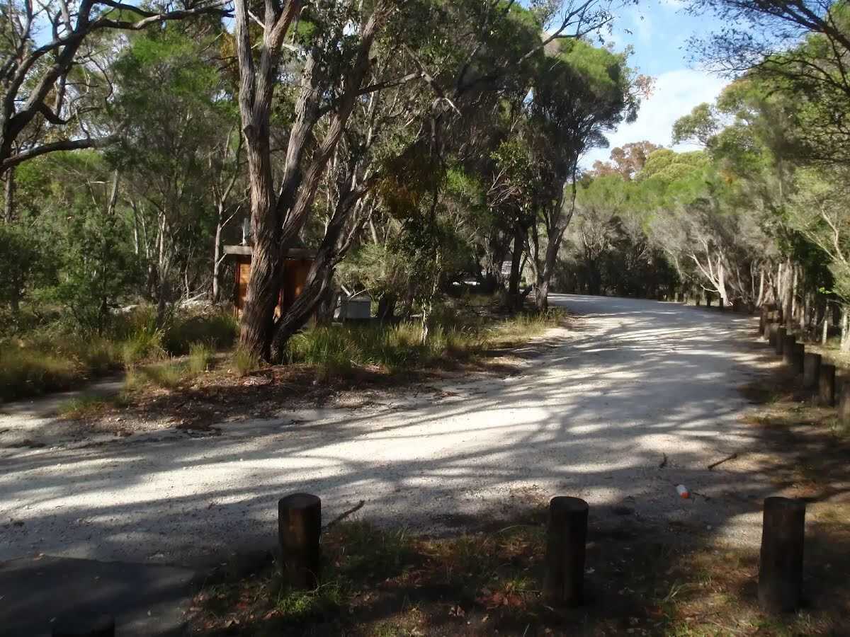
Entity|toilet
| 8 m | Toilet |
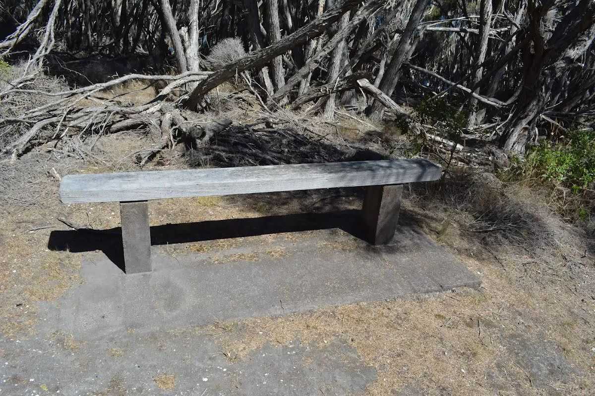
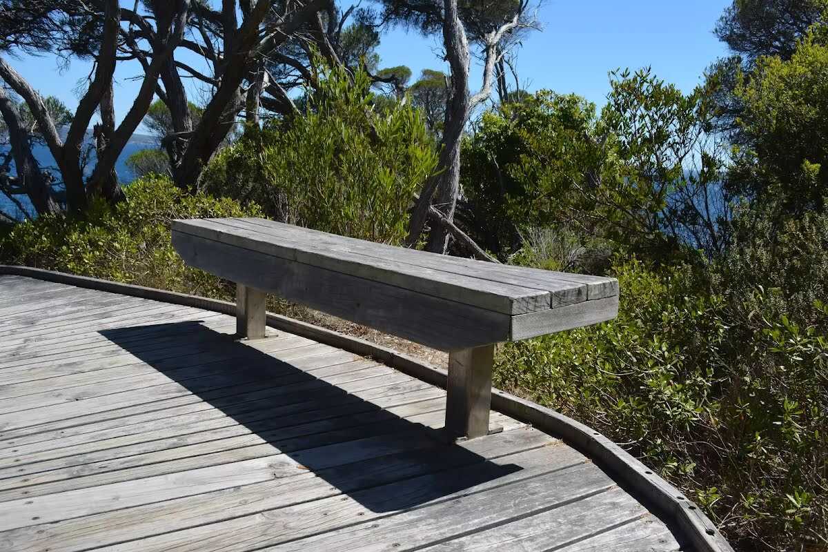
Seat
| 260 m | Seat |
Seat
| 290 m + 80 m | Seat |
Seat
| 420 m | Seat |