


| Start | (-33.6339524,150.284572) |
| Mode | Bus Car (There is free parking available.) Train |
| Directions | From Great Western Highway, A32
|
| Turn map | Directions & comments |
|---|---|
 |
|
 |
|
 |
|
 |
|
 |
|
 |
|
 |
|
 |
|
 |
|
 |
|
 |
|
 |
|
 |
|
 |
|
 |
|
 |
|
 |
|
 |
|
 |
|
 |
|
 |
After another 135 m (at the intersection of Evans Lookout Road & Somerset Avenue) continue straight, to head along Evans Lookout Road.
|
 |
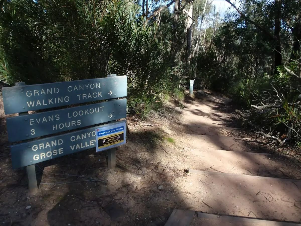
At the intersection of Grand Canyon Track & Evans Lookout Road turn right, to head along Grand Canyon Track (a walking track).
|
 |
|
 |
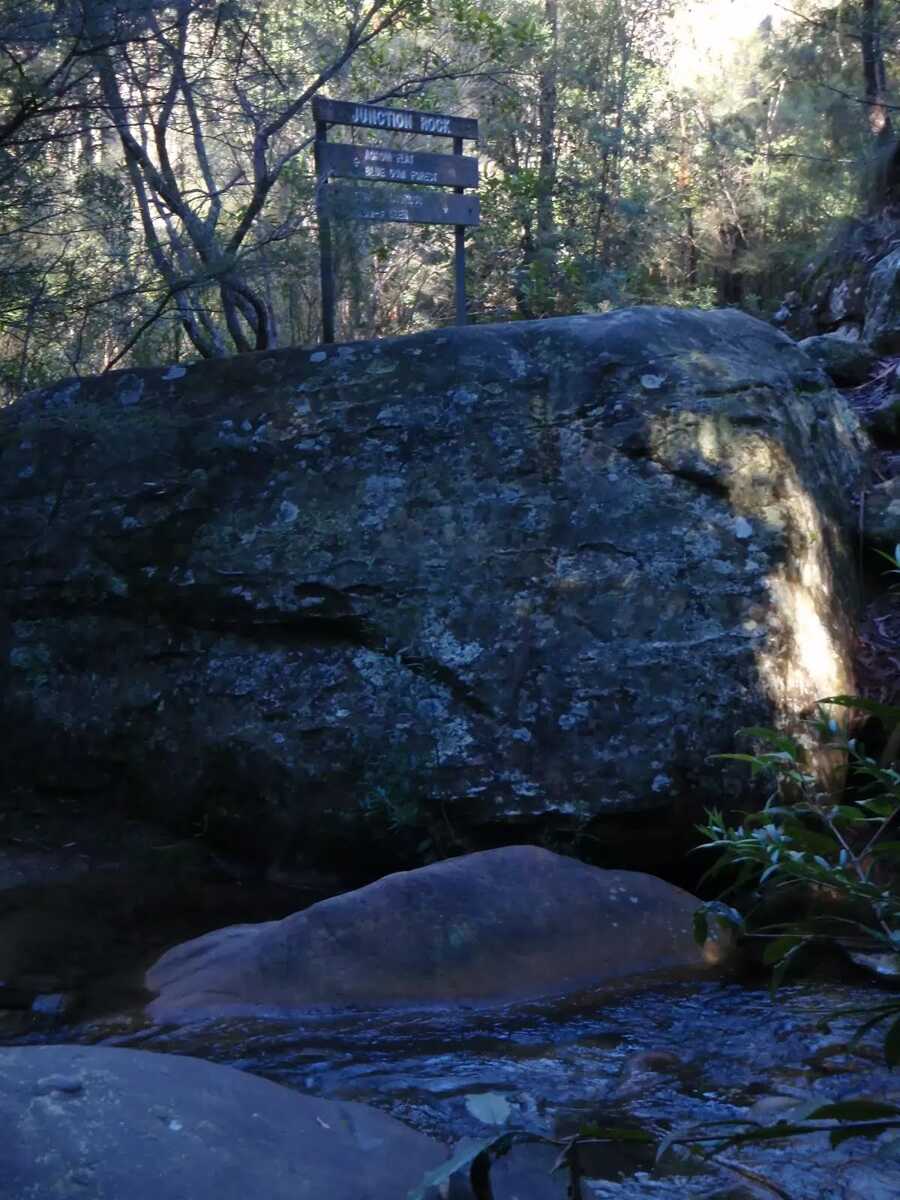
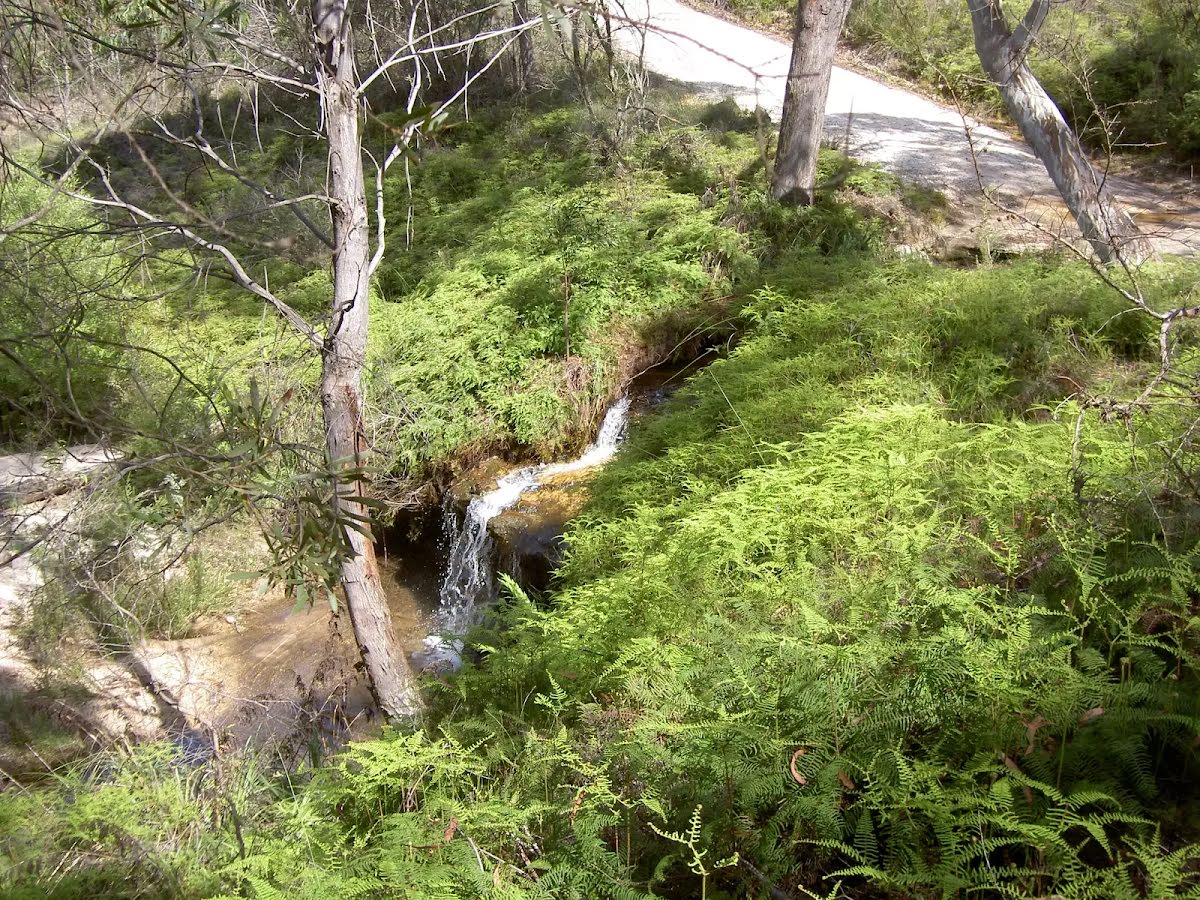
After another 360 m (at the intersection of Rodriguez Pass Walking Track & Grand Canyon Track) turn right, to head along Rodriguez Pass Walking Track.
|
 |
|
 |
|
 |
|
 |
After another 40 m (at the intersection of Blue Gum Forest Track & Rodriguez Pass Walking Track) veer left, to head along Rodriguez Pass Walking Track.
|
 |
|
 |
|
 |
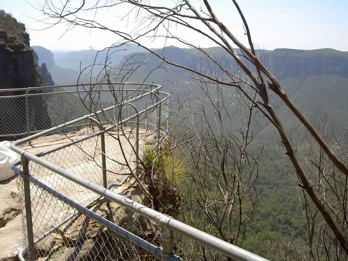
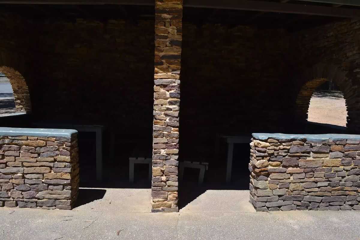
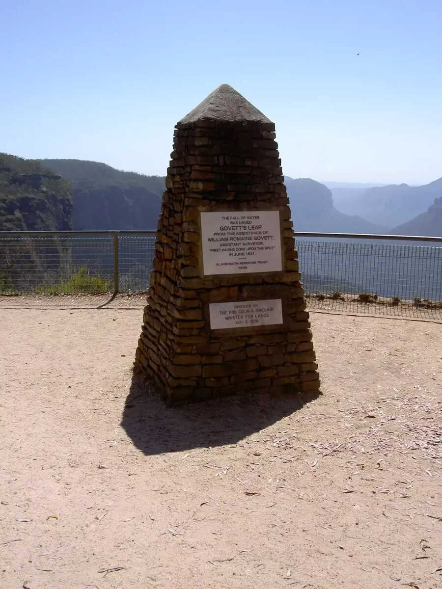
The starting point of an optional sidetrip. An optional Side trip to Govets Leap Lookout (picnic area with road access, toilets shelter) To start this optional side trip turn left here. On returning from this side trip turn left when you get back to this intersection. Details below.
|
 |
|
 |
|
 |
After another 155 m (from the Pulpit Rock Track) continue straight, to head along Pulpit Rock Track.
|
 |
|
 |
|
 |
The starting point of an optional sidetrip. An optional side trip to Boyd Beach. To start this optional side trip turn right here. On returning from this side trip continue straight when you get back to this intersection. Details below.
|
 |
|
 |
|
 |
|
 |
|
 |
|
 |
|
 |
|
 |
|
 |
|
 |
|
 |
| Turn map | Directions & comments |
|---|---|
 |
|
 |

|
|
Class 4/6 Hard track |
|---|---|
| Length | 19.1 km |
| Time | 8 h 3 min to 8 h 30 min |
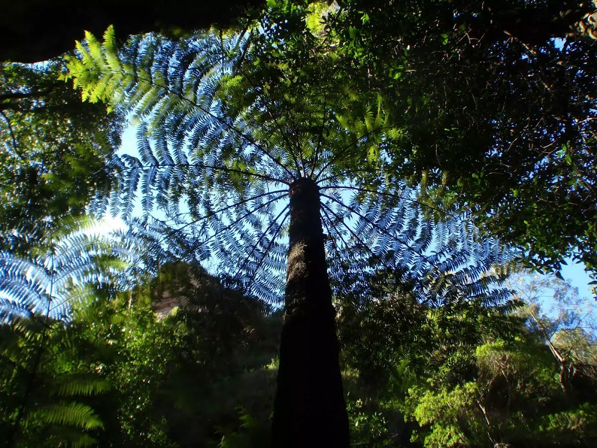
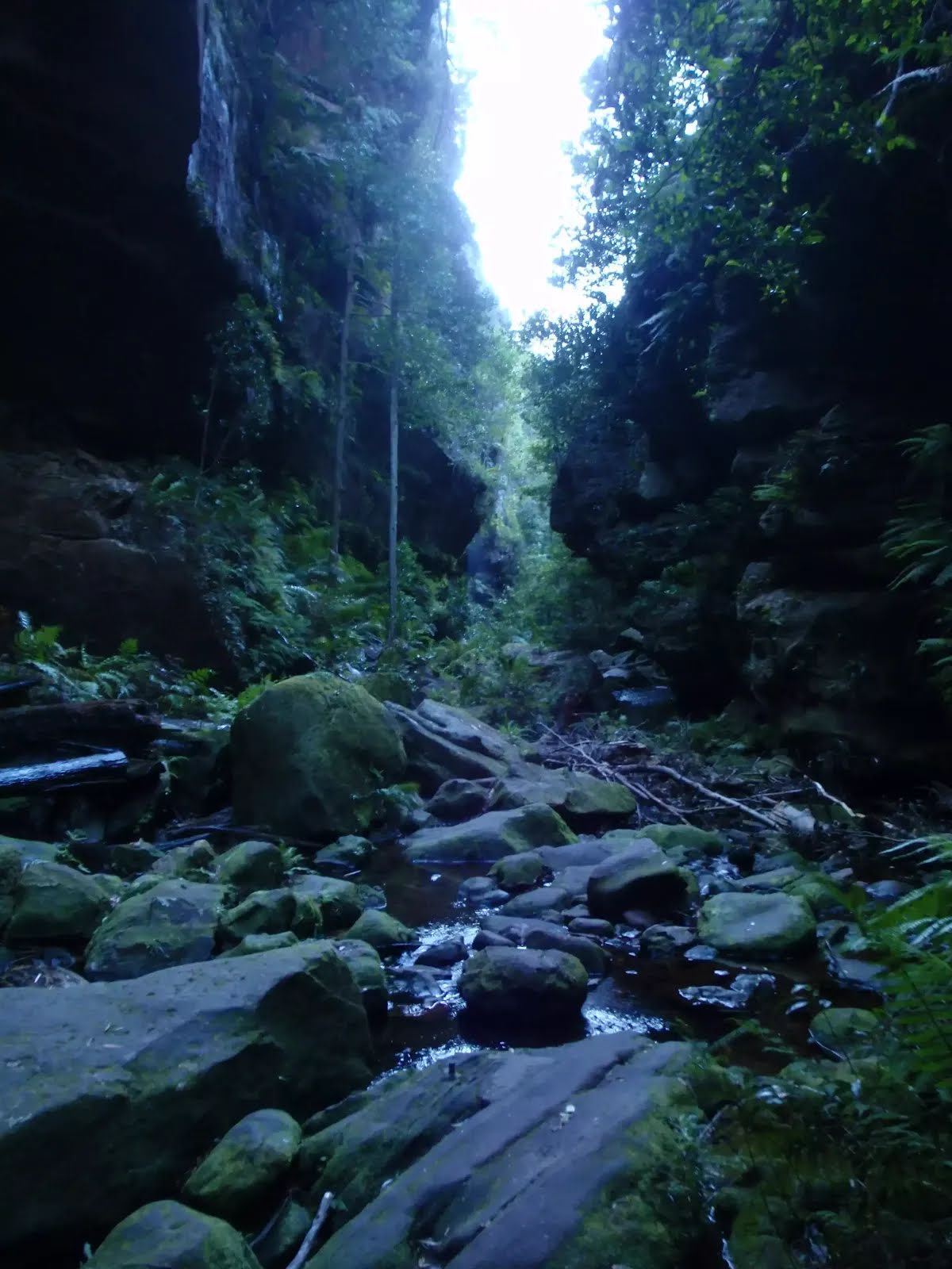
| Quality of track | Rough track, where fallen trees and other obstacles are likely (4/6) |
| Gradient | Very steep (4/6) |
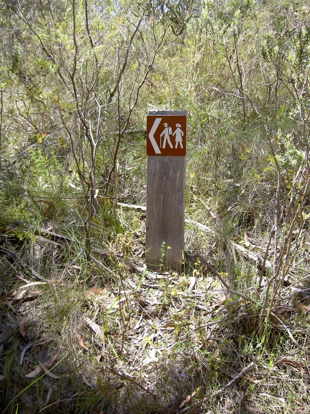
| Signage | Minimal directional signs (4/6) |
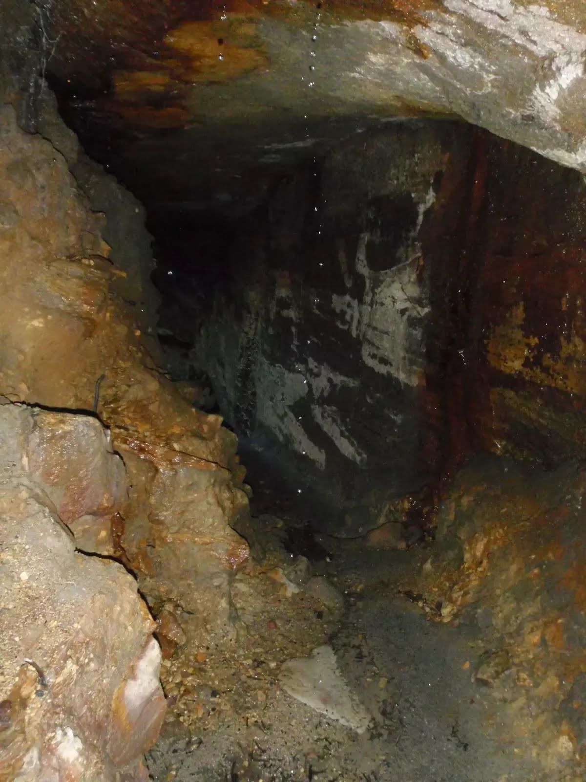
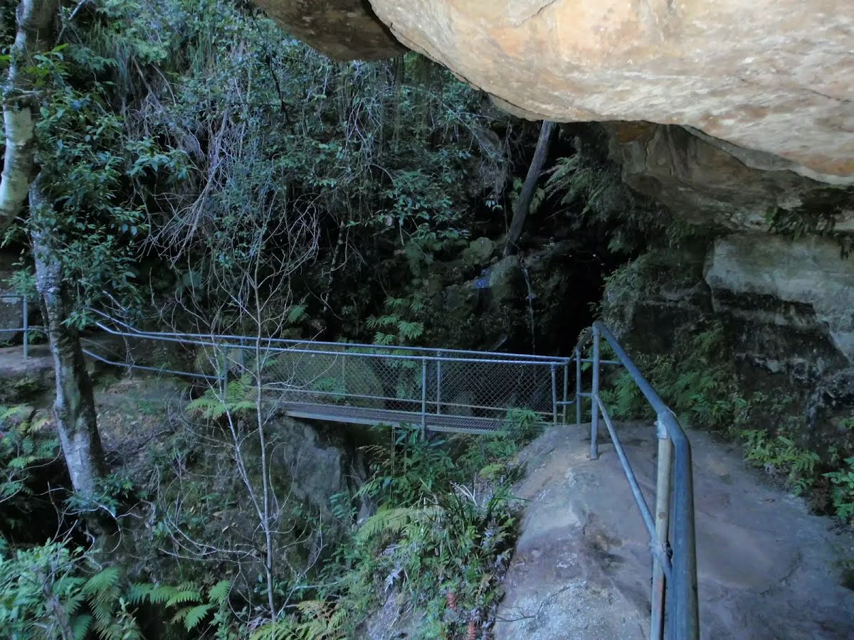
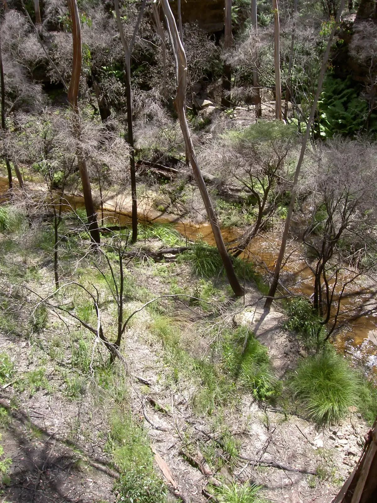
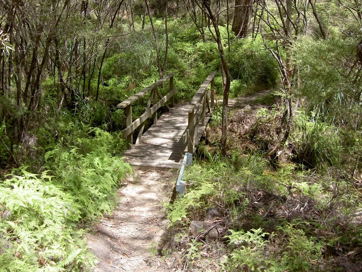
| Infrastructure | Limited facilities (such as cliffs not fenced, significant creeks not bridged) (4/6) |
| Experience Required | Some bushwalking experience recommended (3/6) |
| Weather | Storms may impact on navigation and safety (3/6) |
| Item | From Start | Name & link to notes |
|---|---|---|
Seat
| 450 m | [seat] |
Camp site
| 10.4 km | [camp site] |
Camp site
| 12.4 km | [camp site] |