


| Full Journey | Great North Walk |
| Start | (-33.4920793,151.2569295) |
| Mode | Train |
| Finish | At the intersection of Old Pacific Highway & Mooney Trail (-33.4379972,151.2520678) |
| Mode (end) | Car (There is free parking available.) |
| Turn map | Directions & comments |
|---|---|
 |
|
 |
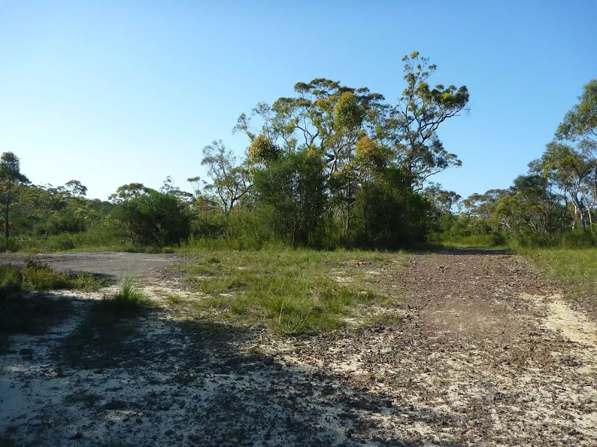
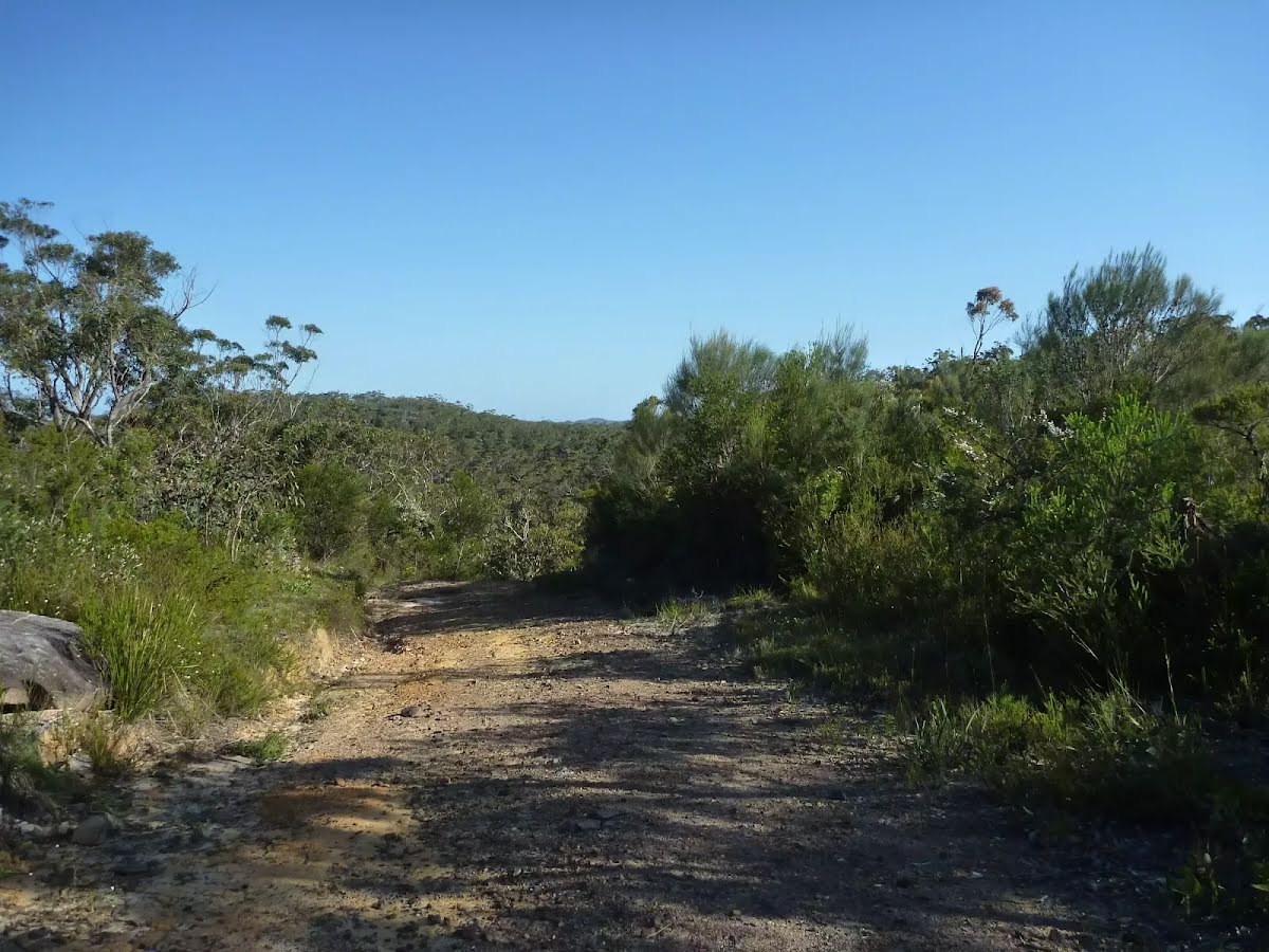
After another 260 m (from the Rifle Range Firetrail) veer right, to head along Rifle Range Firetrail.
|
 |
|
 |
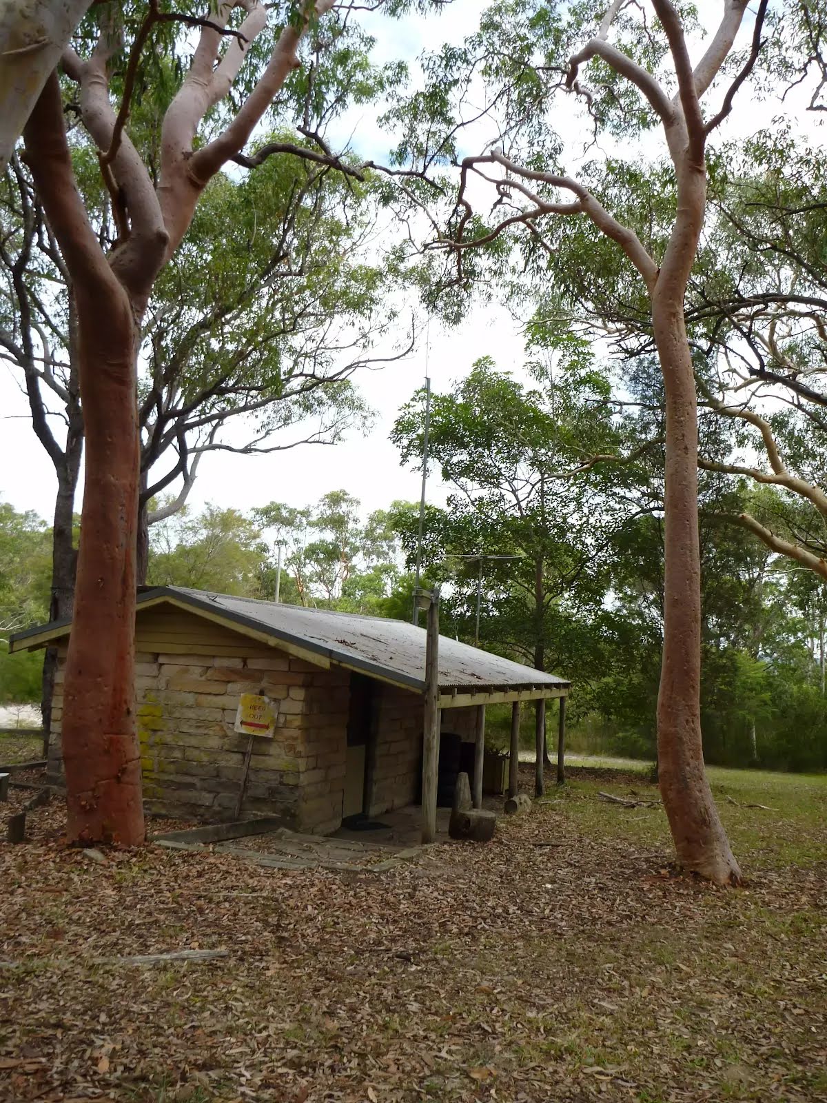
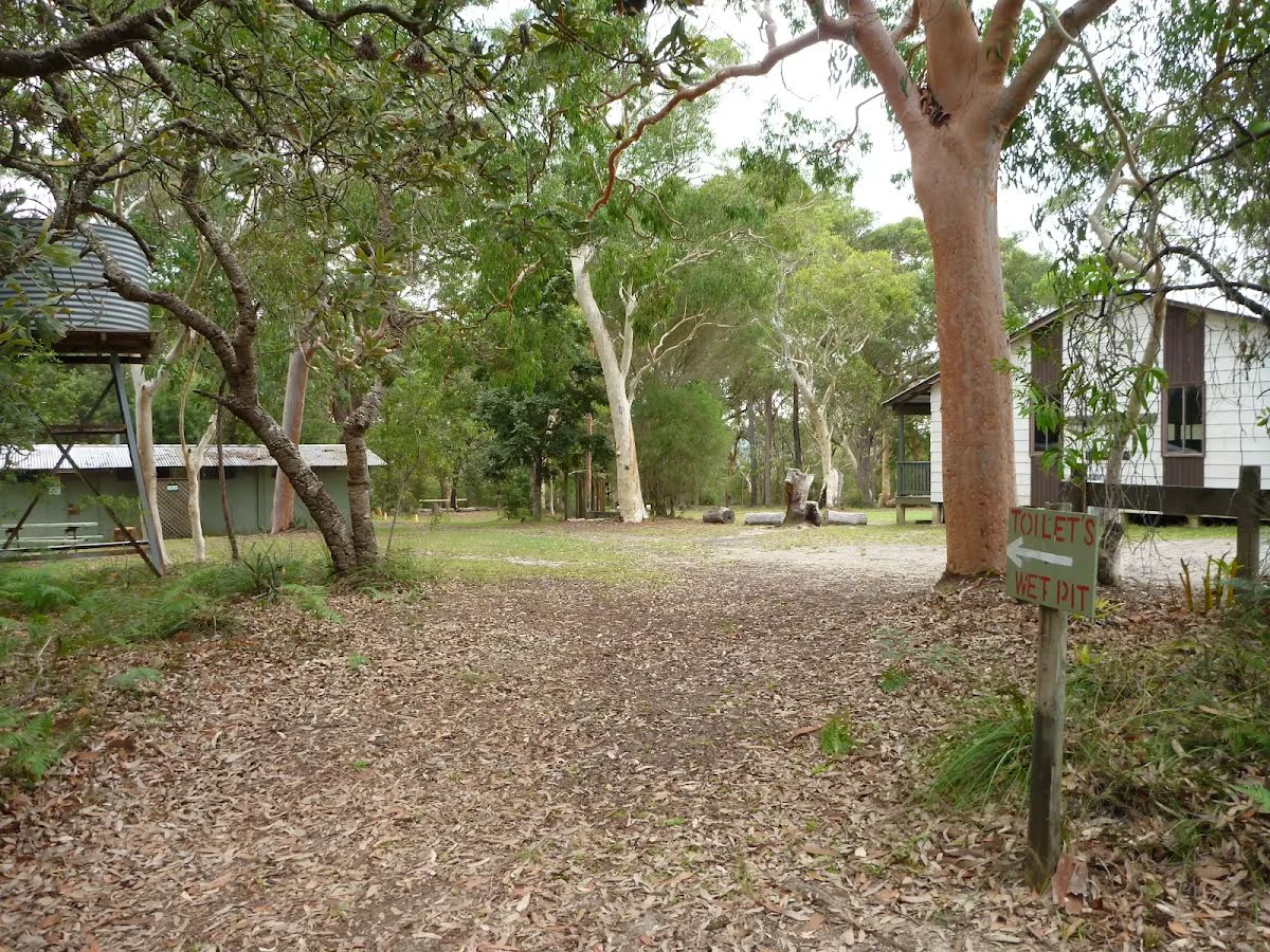
The starting point of an optional sidetrip. An optional side trip to Camp Kariong. Only for scouts who have registered to stay. To start this optional side trip continue straight here. On returning from this side trip turn right when you get back to this intersection. Details below.
|
 |
|
 |
|
 |
|
 |
|
 |
| Turn map | Directions & comments |
|---|---|
 |
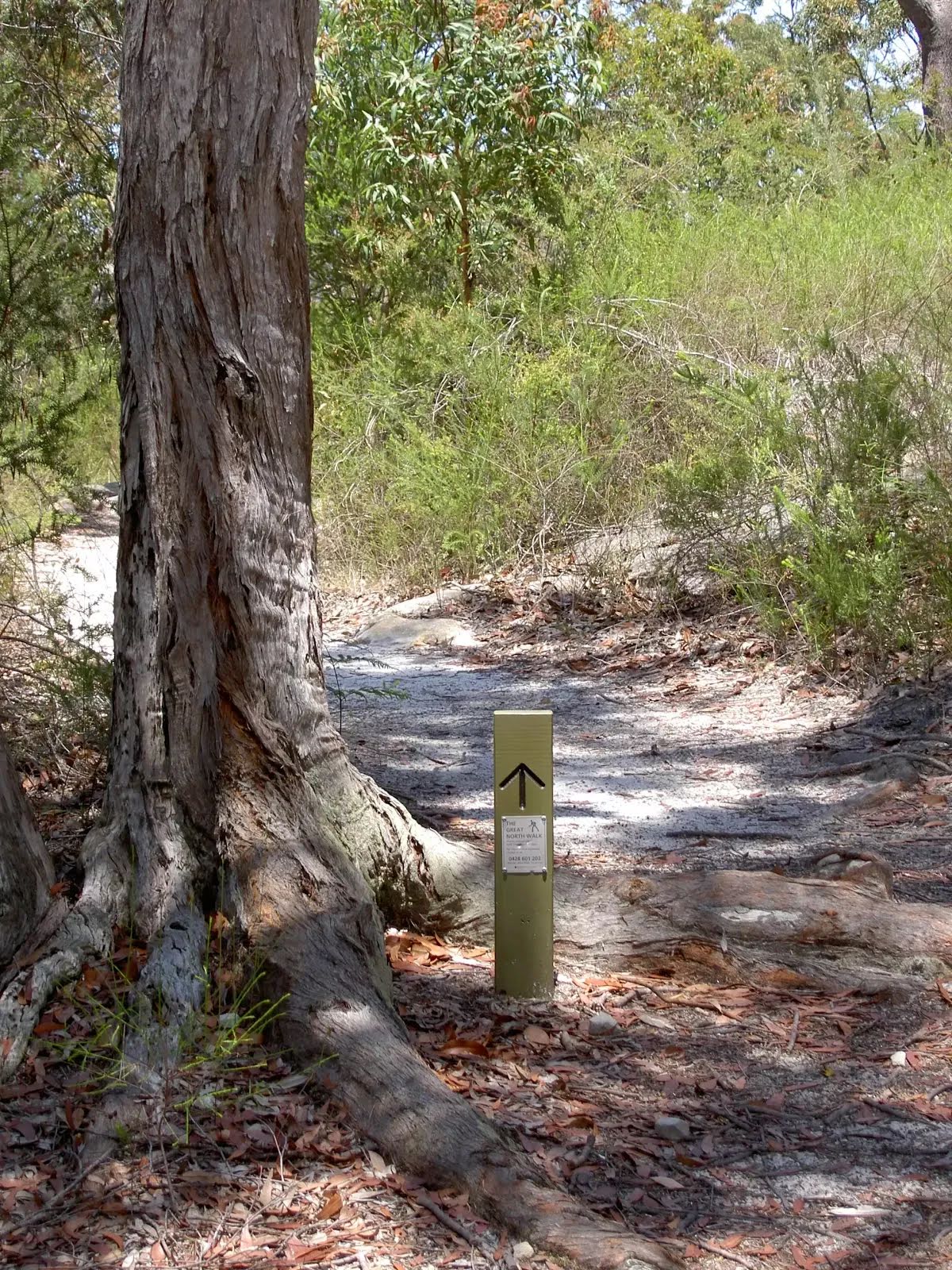
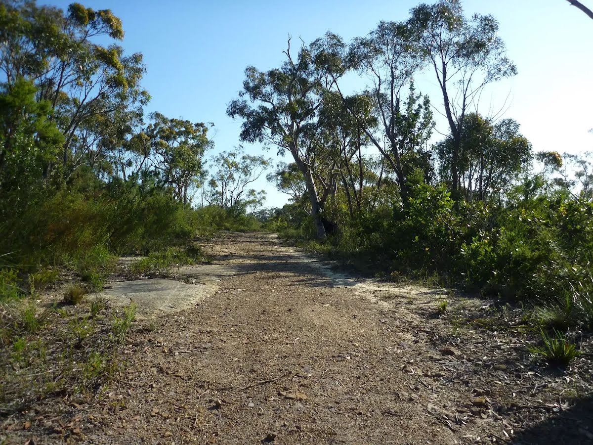
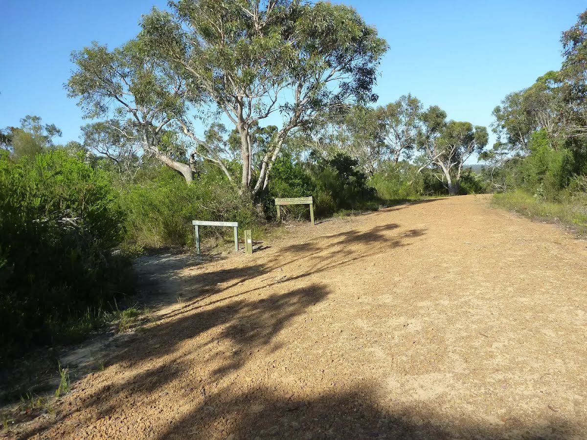
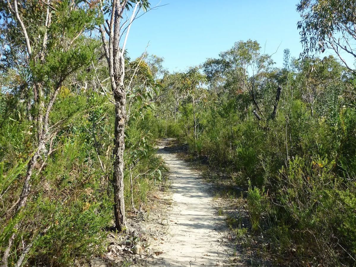
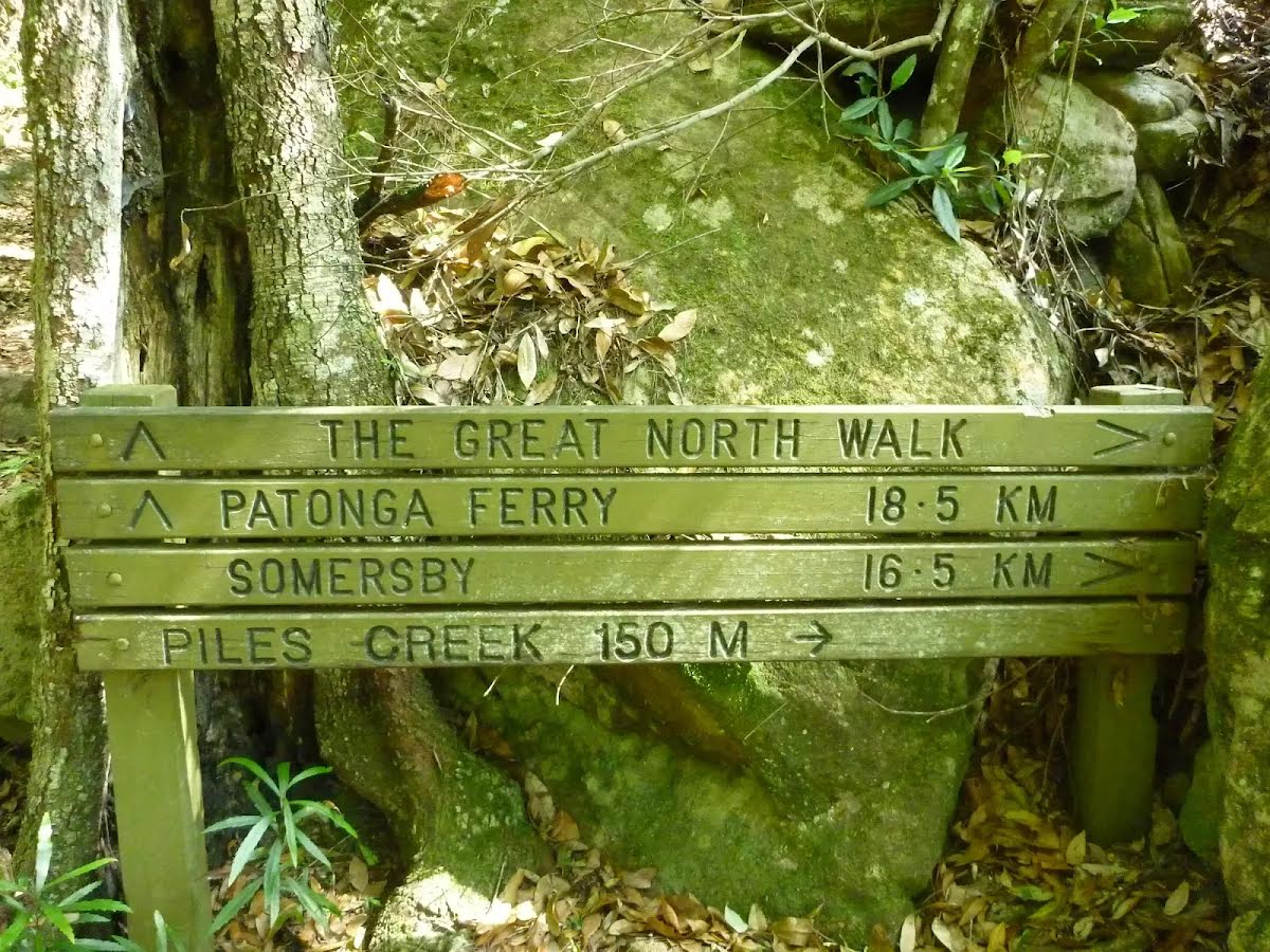
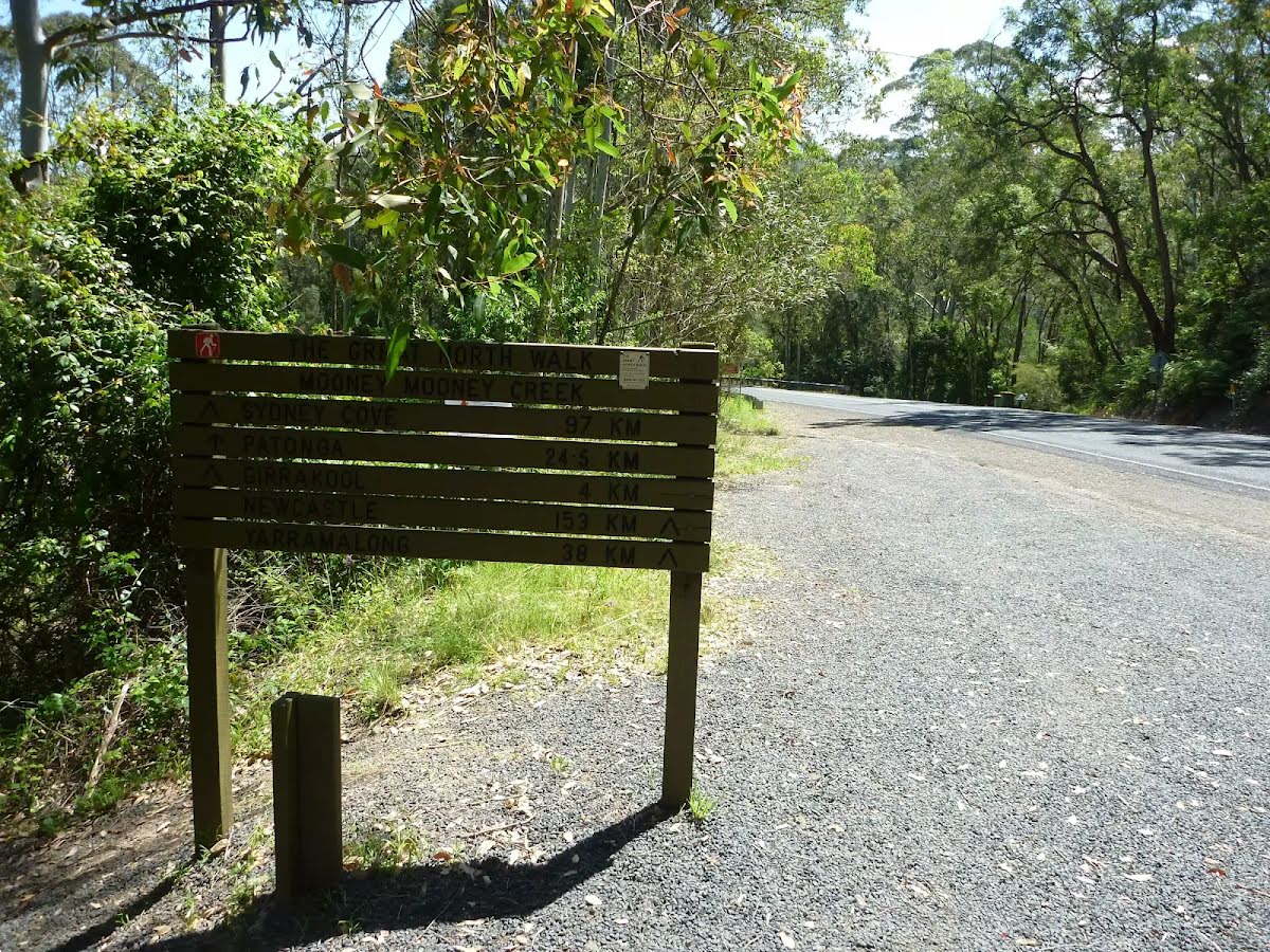
At the intersection of The Great North Walk & Piles Creek Loop Start heading along Piles Creek Loop (a walking track).
|
 |
|
 |

|
|
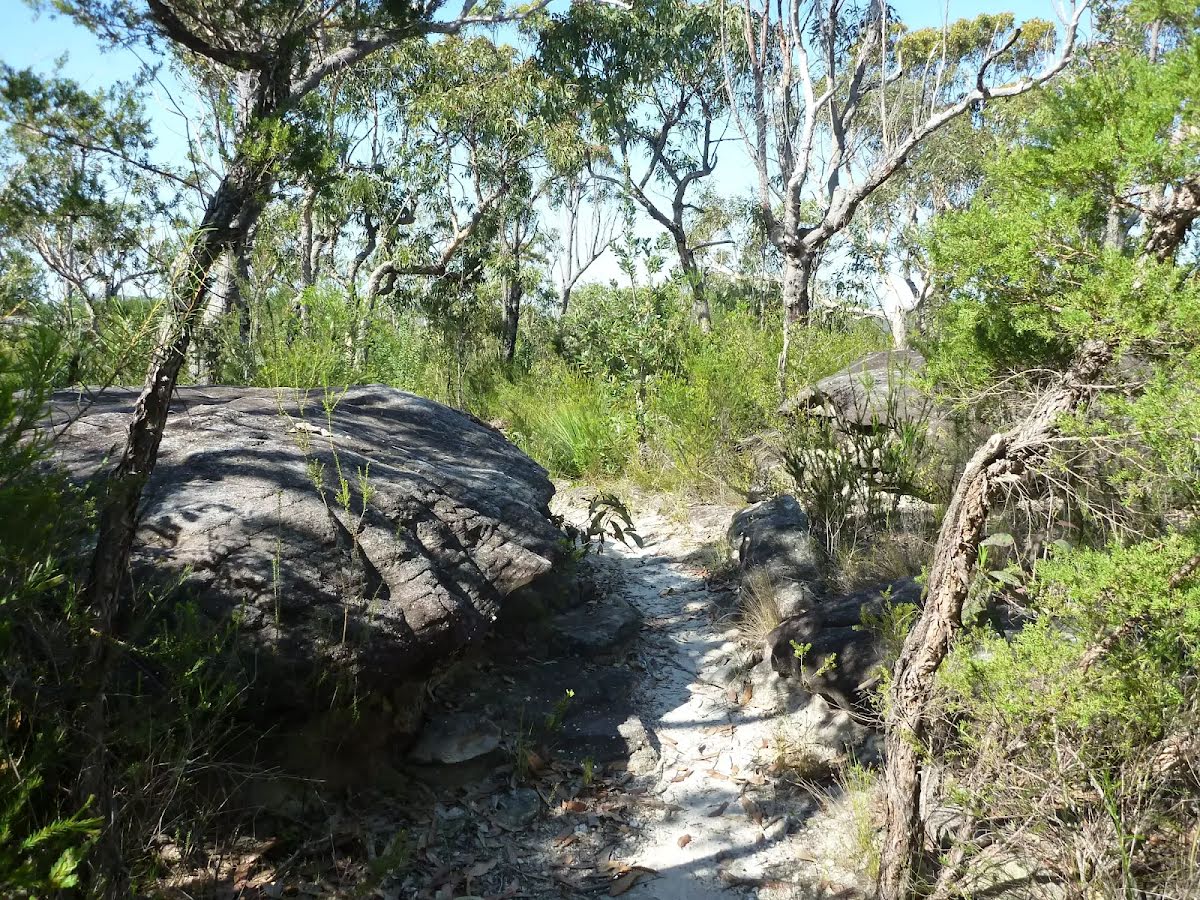
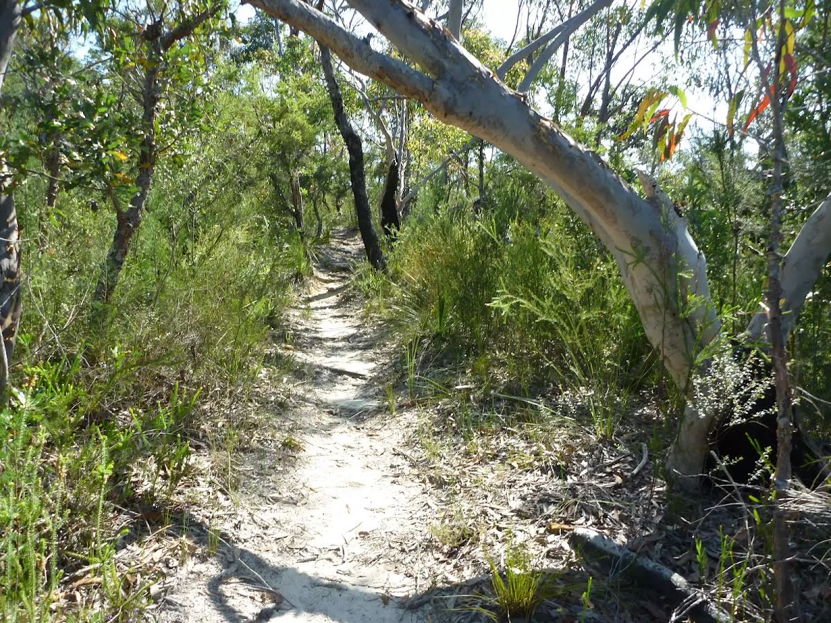
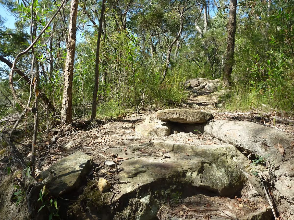
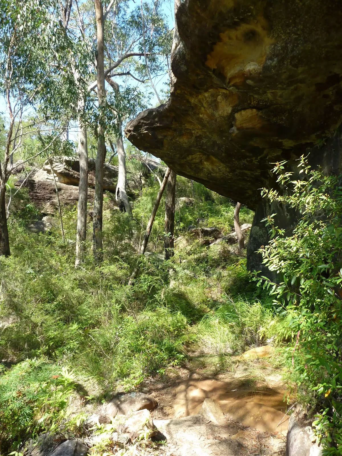
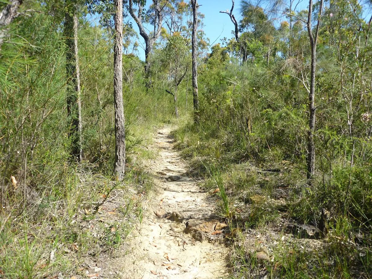
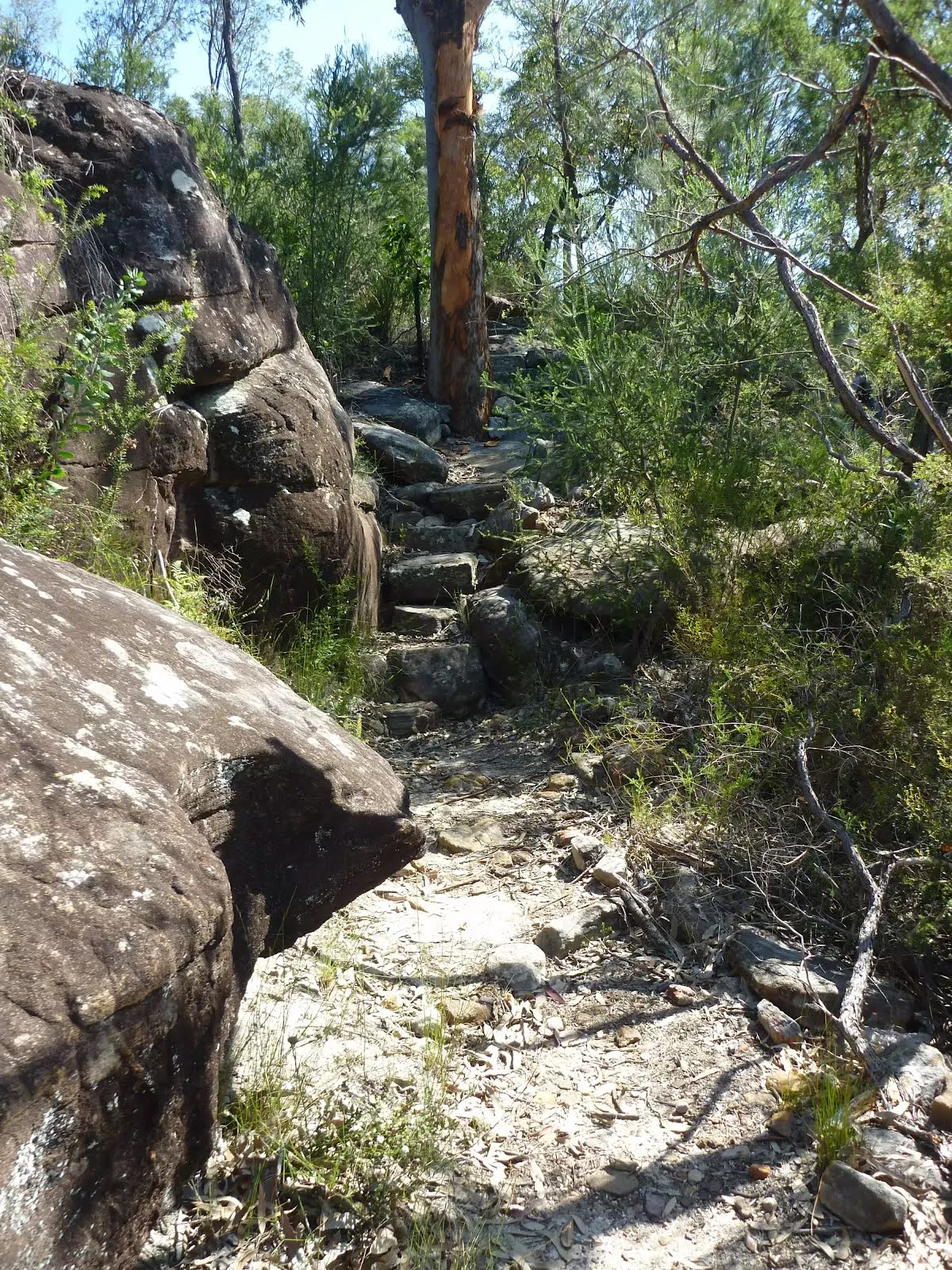
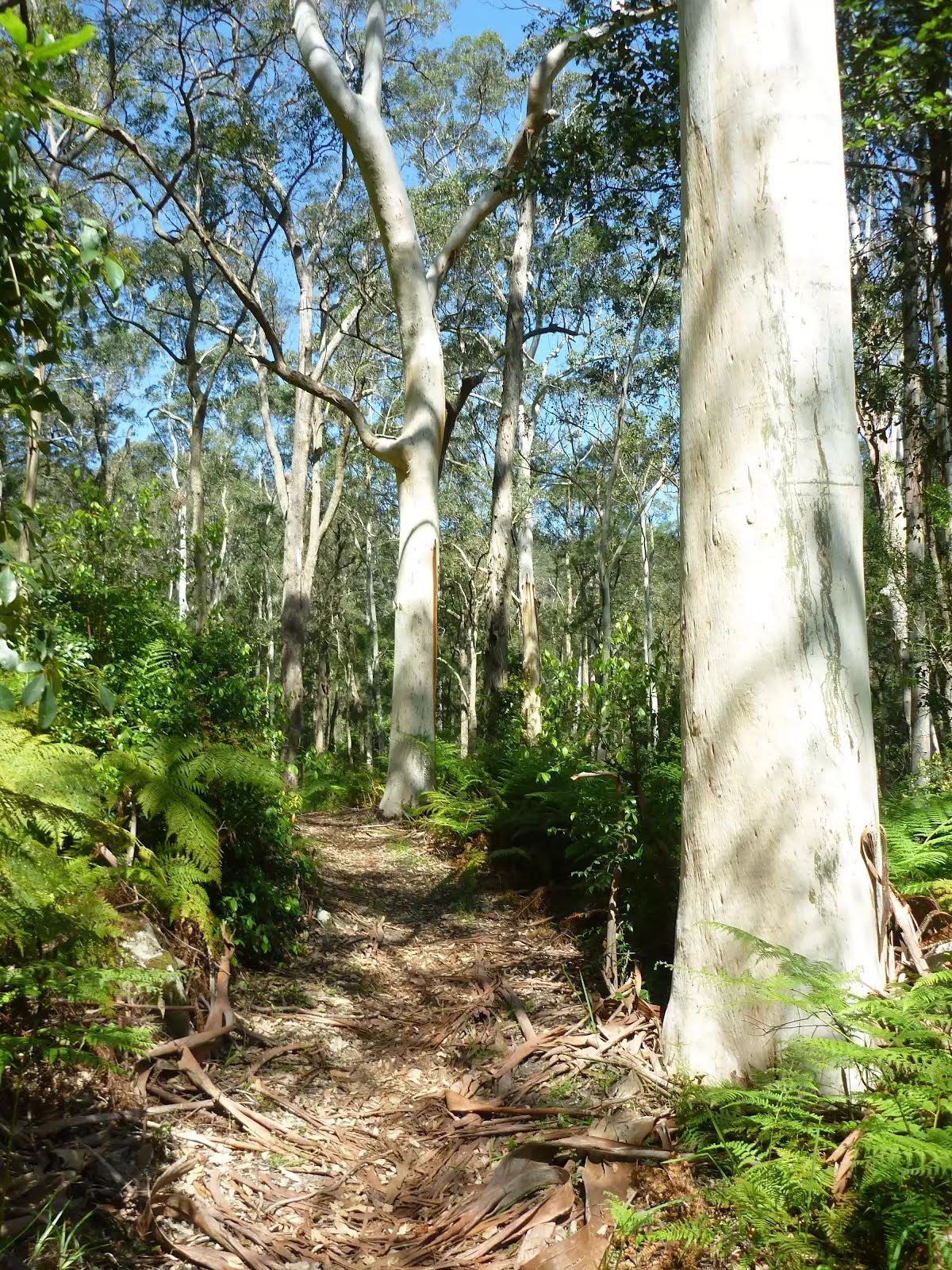
Class 4/6 Hard track |
|---|---|
| Length | 9.9 km |
| Time | 4 h to 2 days |
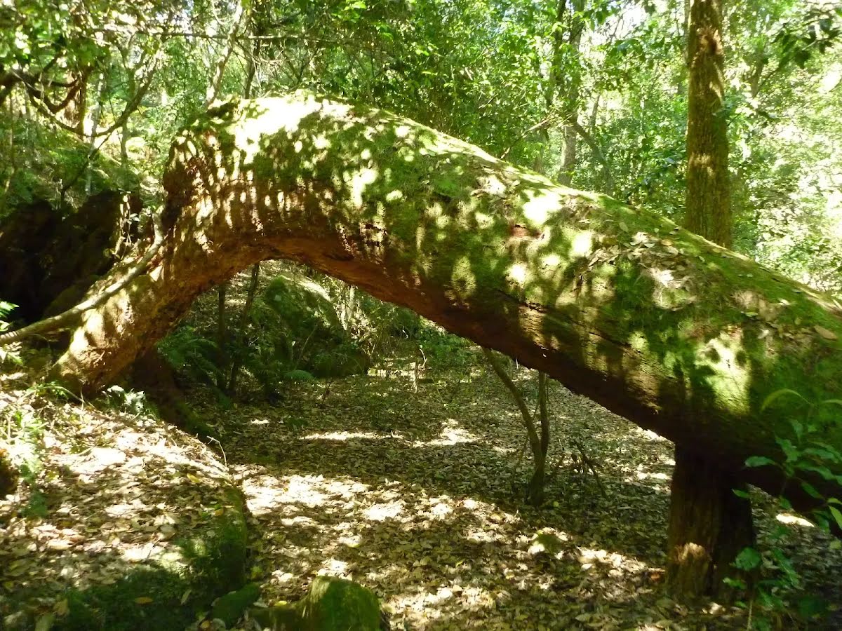
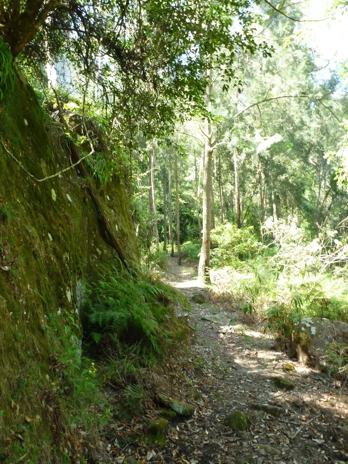
| Quality of track | Rough track, where fallen trees and other obstacles are likely (4/6) |
| Gradient | Very steep (4/6) |
| Signage | Minimal directional signs (4/6) |
| Infrastructure | Limited facilities, not all cliffs are fenced (3/6) |
| Experience Required | Some bushwalking experience recommended (3/6) |
| Weather | Weather generally has little impact on safety (1/6) |
| Item | From Start | Name & link to notes |
|---|---|---|
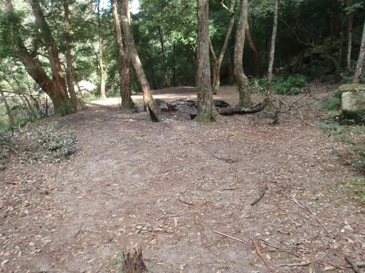
Campsite
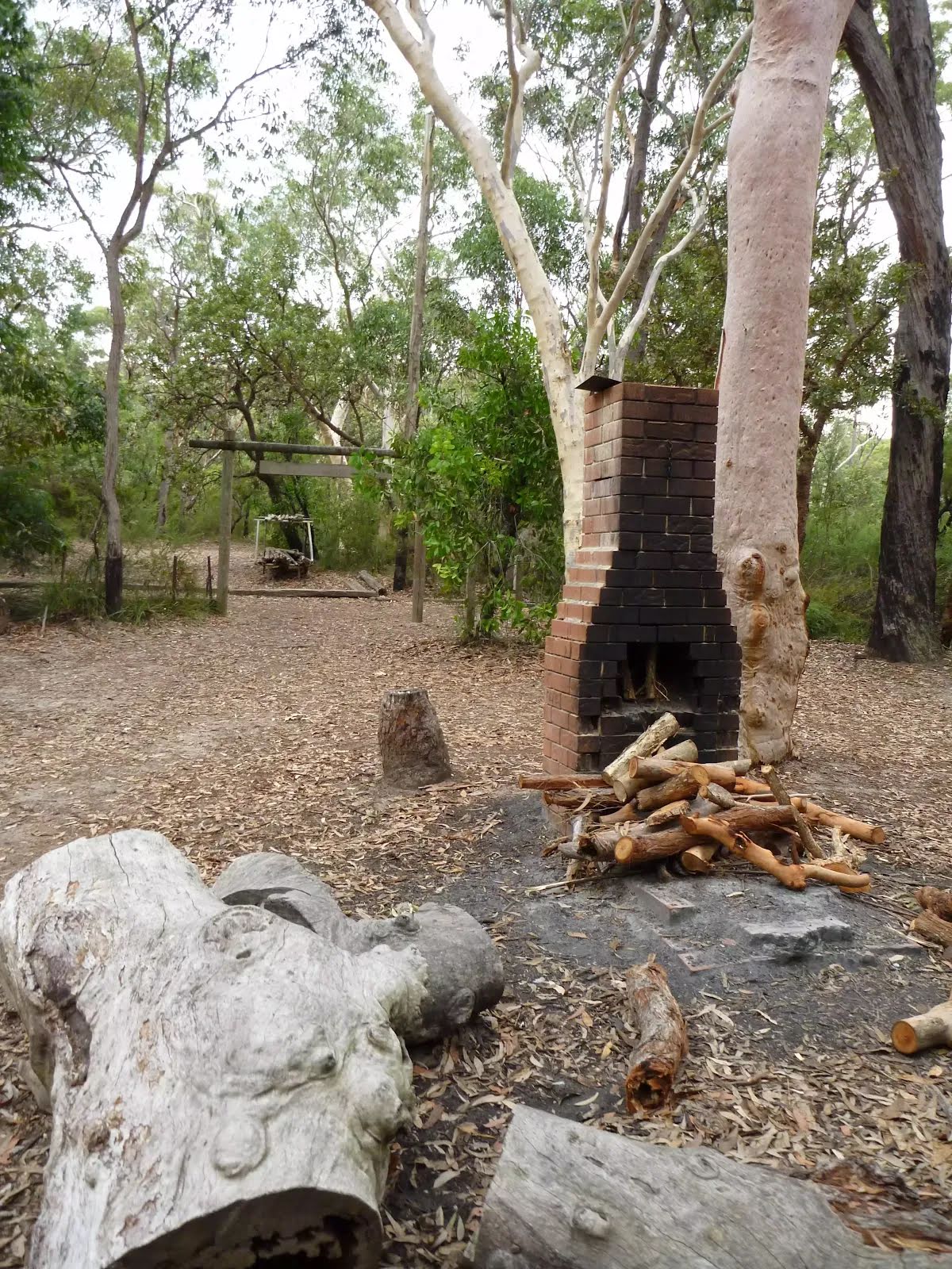
| 7.4 km + 1.6 km | Camp Kariong |
Camp site
| 7.6 km | [camp site] |
The following roads are accessible for 4WD only - they are damaged and not currently scheduled for upgrades: