
| Start | From the West Head Road (-33.6432913,151.2619152) |
| Mode | Car (A park entry fee is required for driving into the park.) |
| Directions | From Mona Vale Road, A3, Terrey Hills.
|
| Turn map | Directions & comments |
|---|---|
 |
|
 |
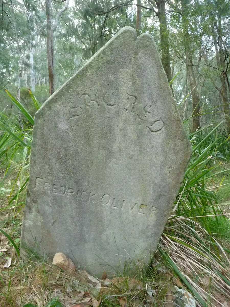
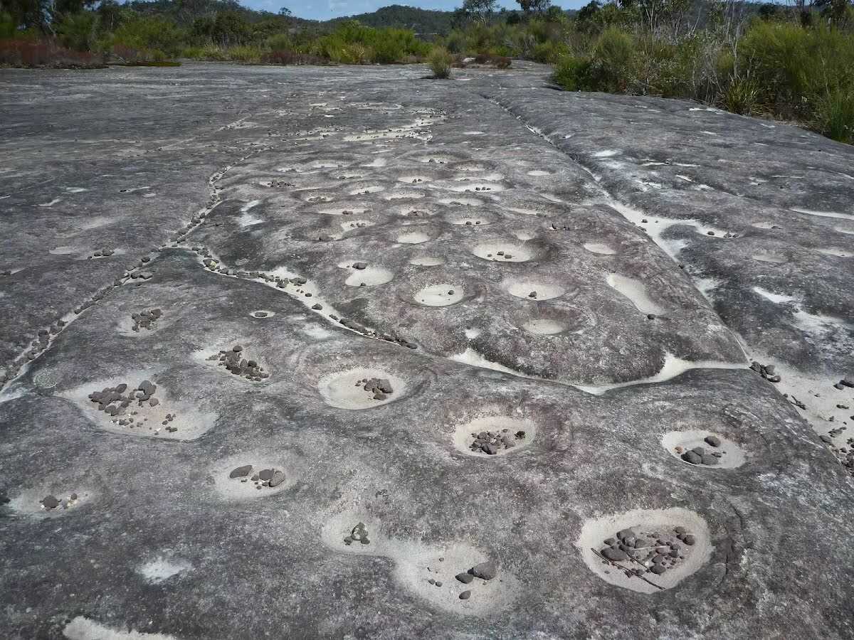
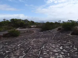
The starting point of an optional sidetrip. An optional side trip to the Aboriginal engravings. To start this optional side trip veer right here. On returning from this side trip turn right when you get back to this intersection. Details below.
|
 |
|
 |
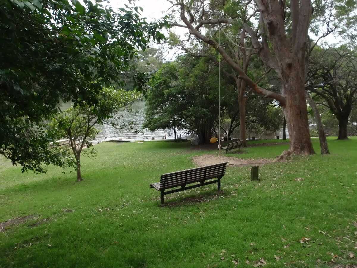
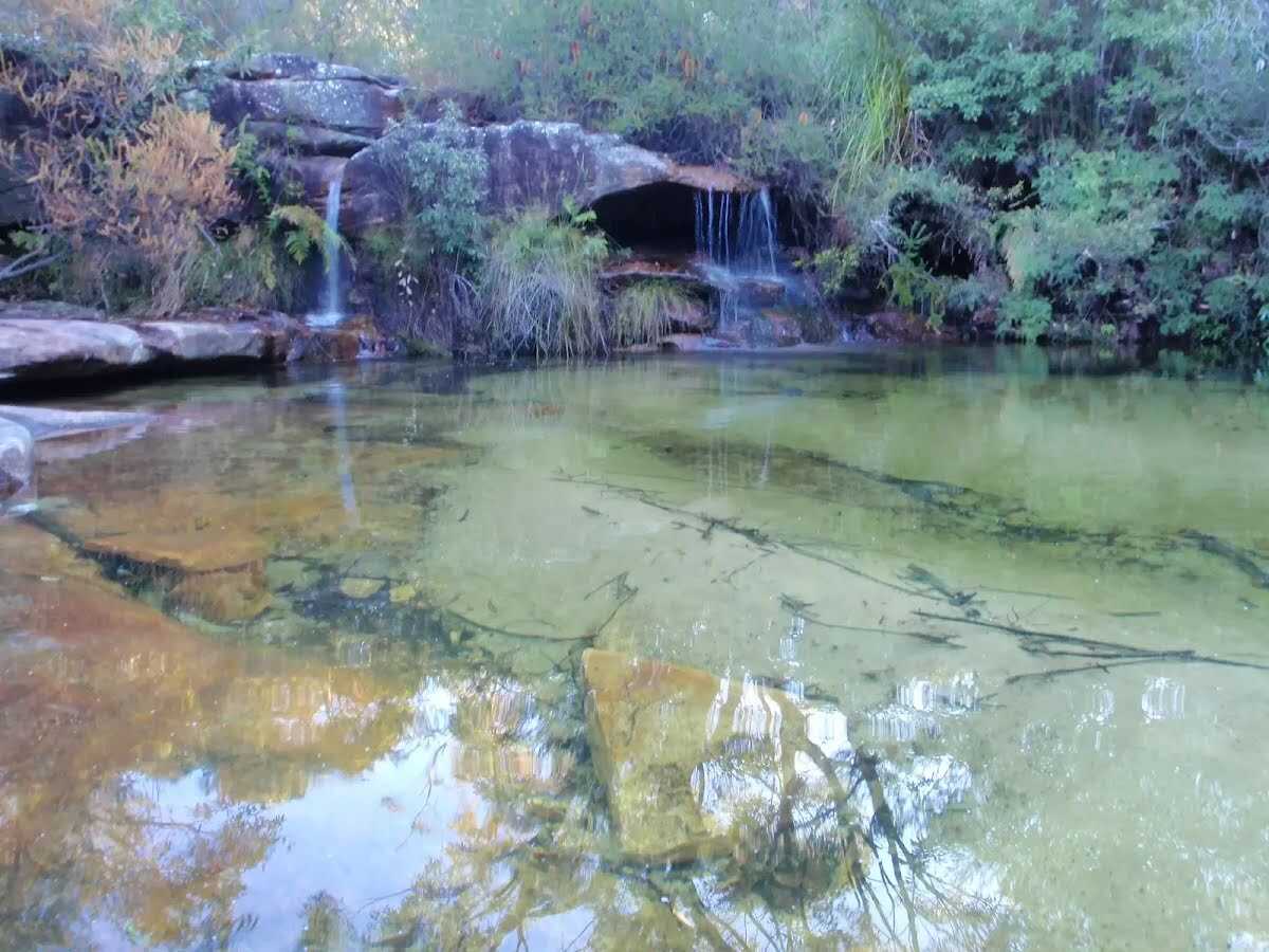
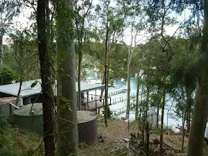
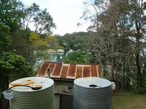
The starting point of an optional sidetrip. An optional side trip to Lovett Bay swimming hole. To start this optional side trip turn left here. On returning from this side trip turn sharp left when you get back to this intersection. Details below.
|
 |
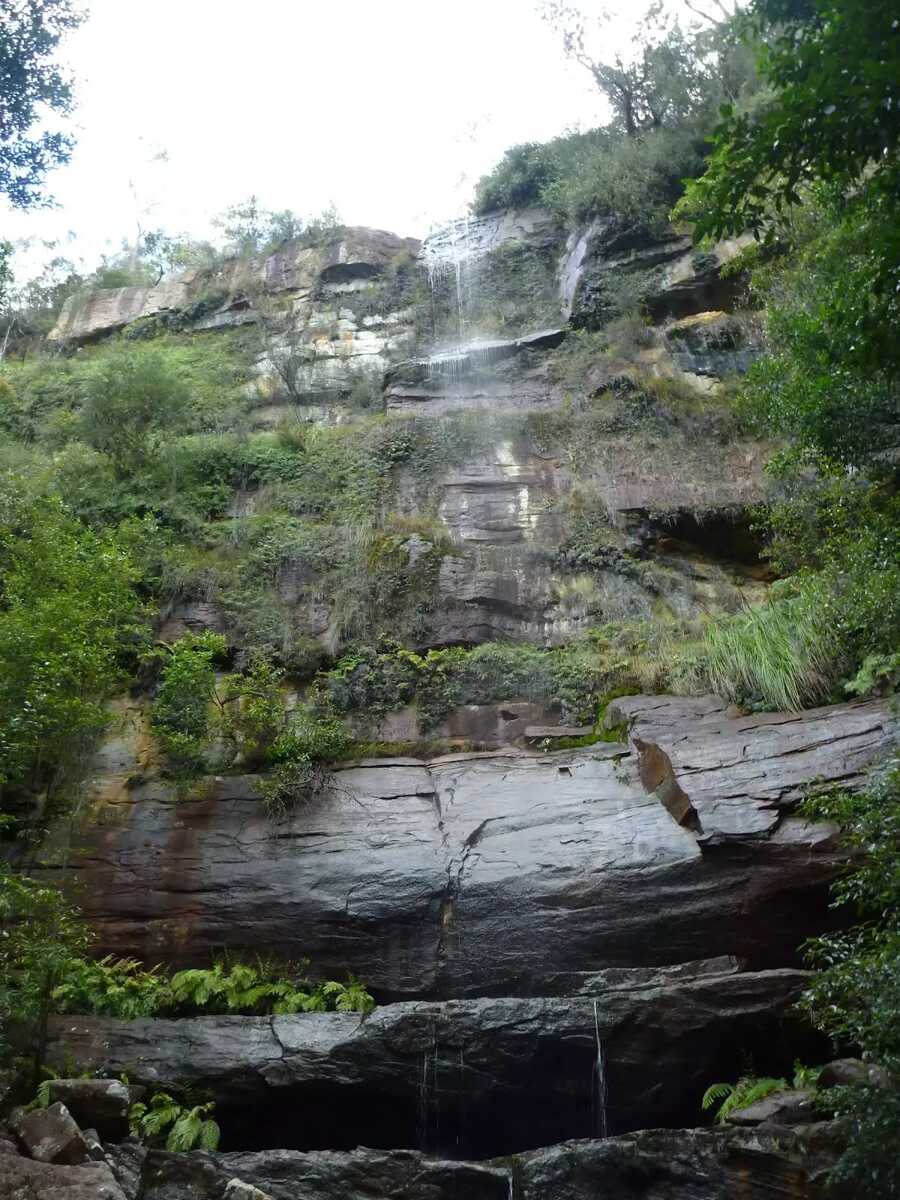
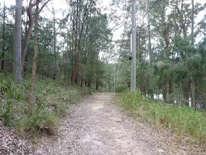
The starting point of an optional sidetrip. An optional side trip to Waterfall. To start this optional side trip turn left here. On returning from this side trip continue straight when you get back to this intersection. Details below.
|
 |
After another 370 m (at the intersection of Wirringulla Avenue & Normanhurst Street) continue straight, to head along Wirringulla Avenue.
|
 |
|
 |
|
 |
The starting point of an optional sidetrip. An optional side trip to the Aboriginal engravings. To start this optional side trip turn left here. On returning from this side trip veer left when you get back to this intersection. Details below.
|
 |

|
|
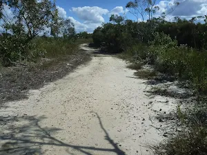
Class 4/6 Hard track |
|---|---|
| Length | 4.5 km |
| Time | 1 h 45 min to 2 h 30 min |
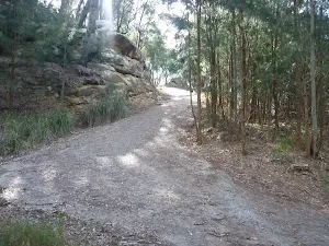
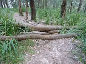
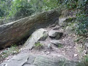
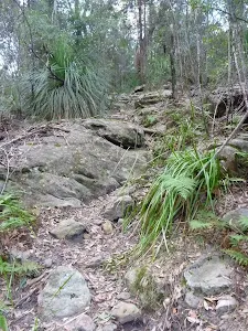
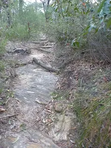
| Quality of track | Rough track, where fallen trees and other obstacles are likely (4/6) |
| Gradient | Short steep hills (3/6) |
| Signage | Minimal directional signs (4/6) |
| Infrastructure | Limited facilities (such as cliffs not fenced, significant creeks not bridged) (4/6) |
| Experience Required | Moderate level of bushwalking experience recommended (4/6) |
| Weather | Weather generally has little impact on safety (1/6) |