


| Start | (-32.9303982,151.7036808) |
| Mode | Bus Car (There is free parking available.) |
| Directions | From City Road, A43
|
| Turn map | Directions & comments |
|---|---|
 |
|
 |
|
 |
|
 |
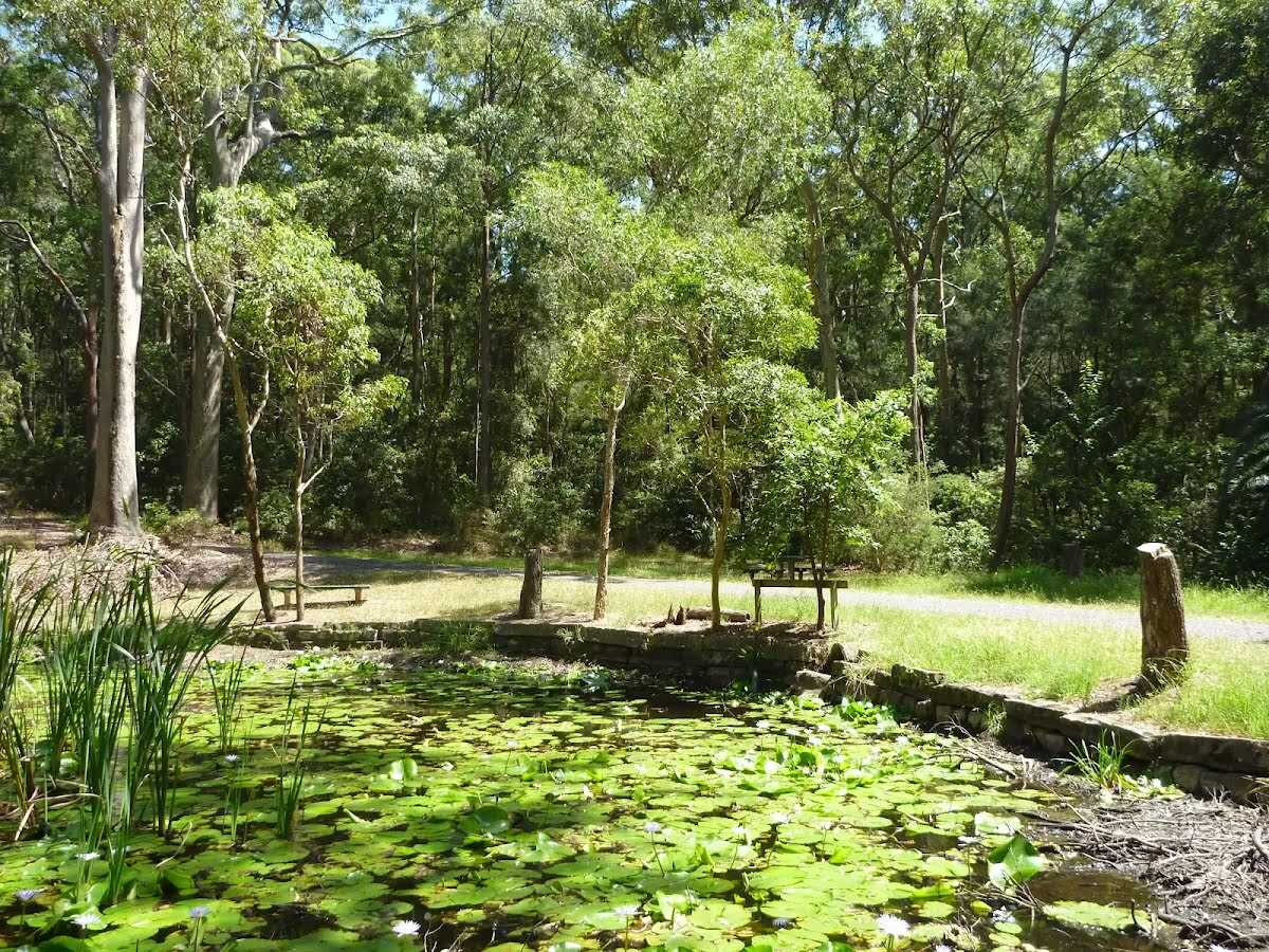
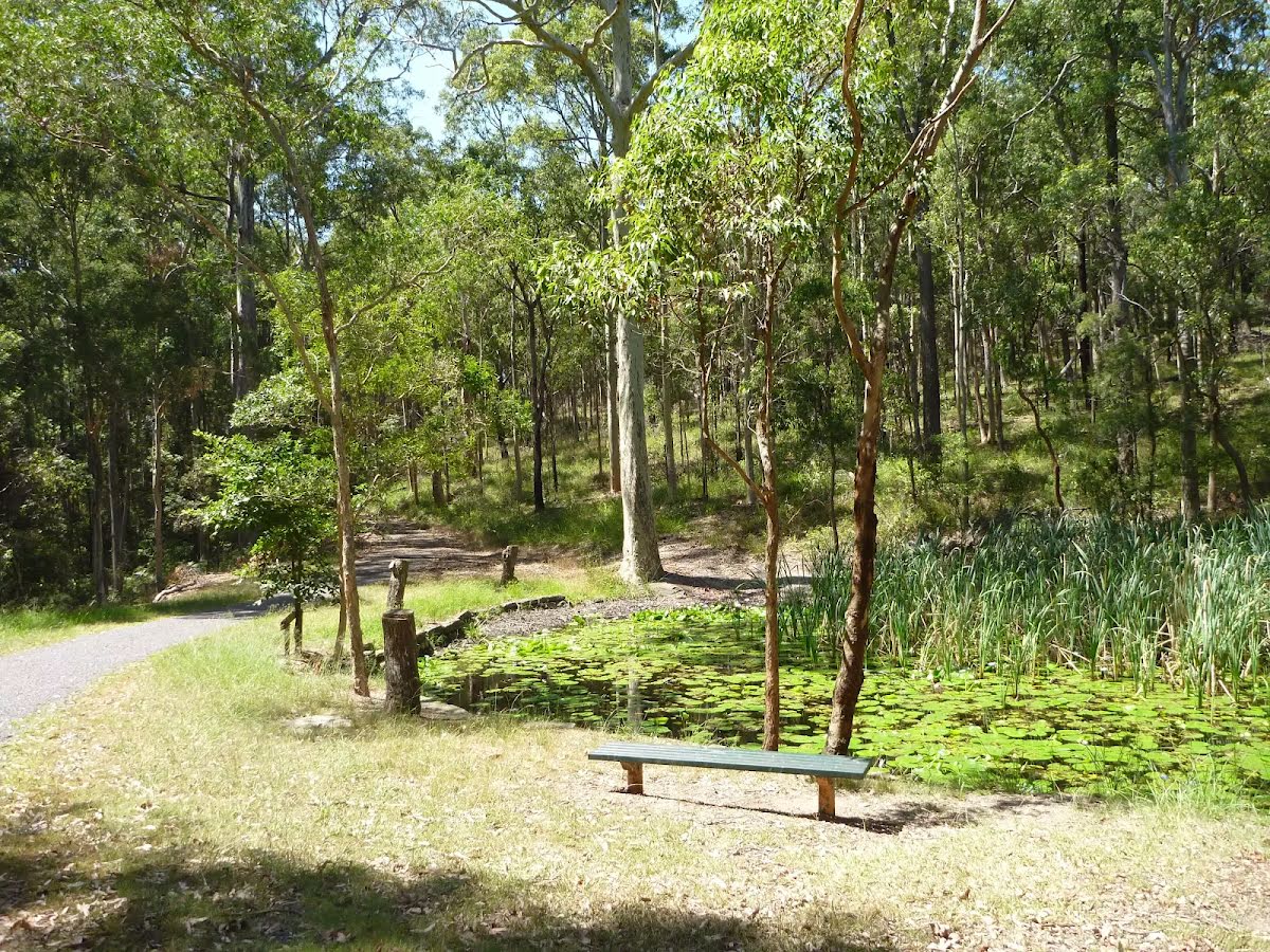
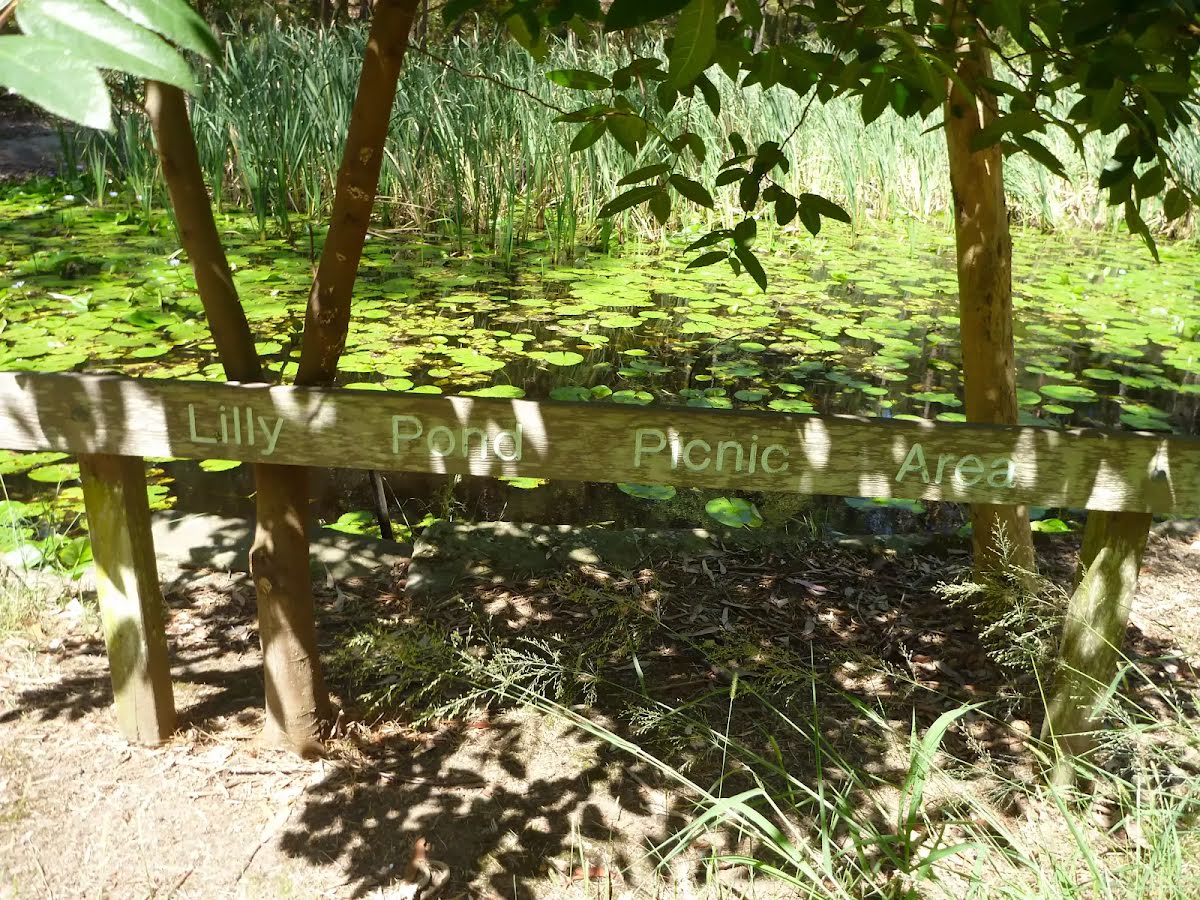
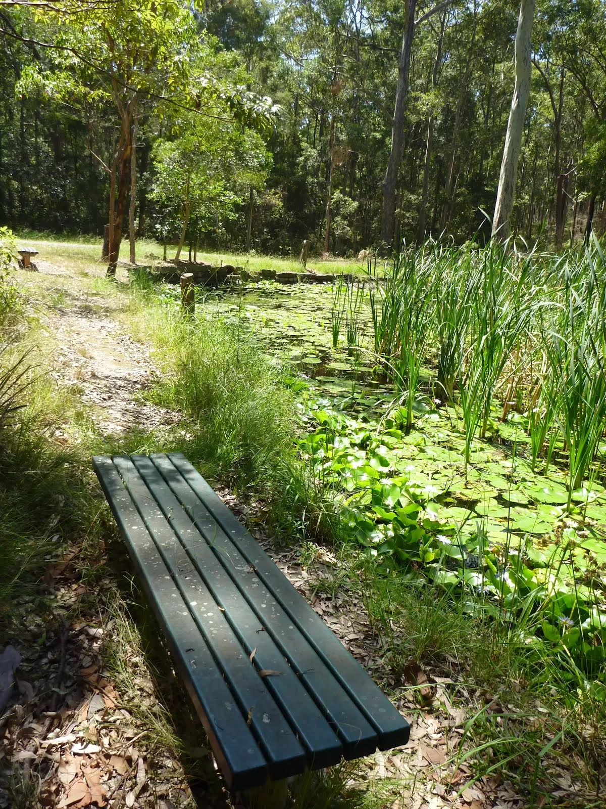
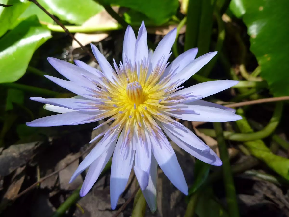
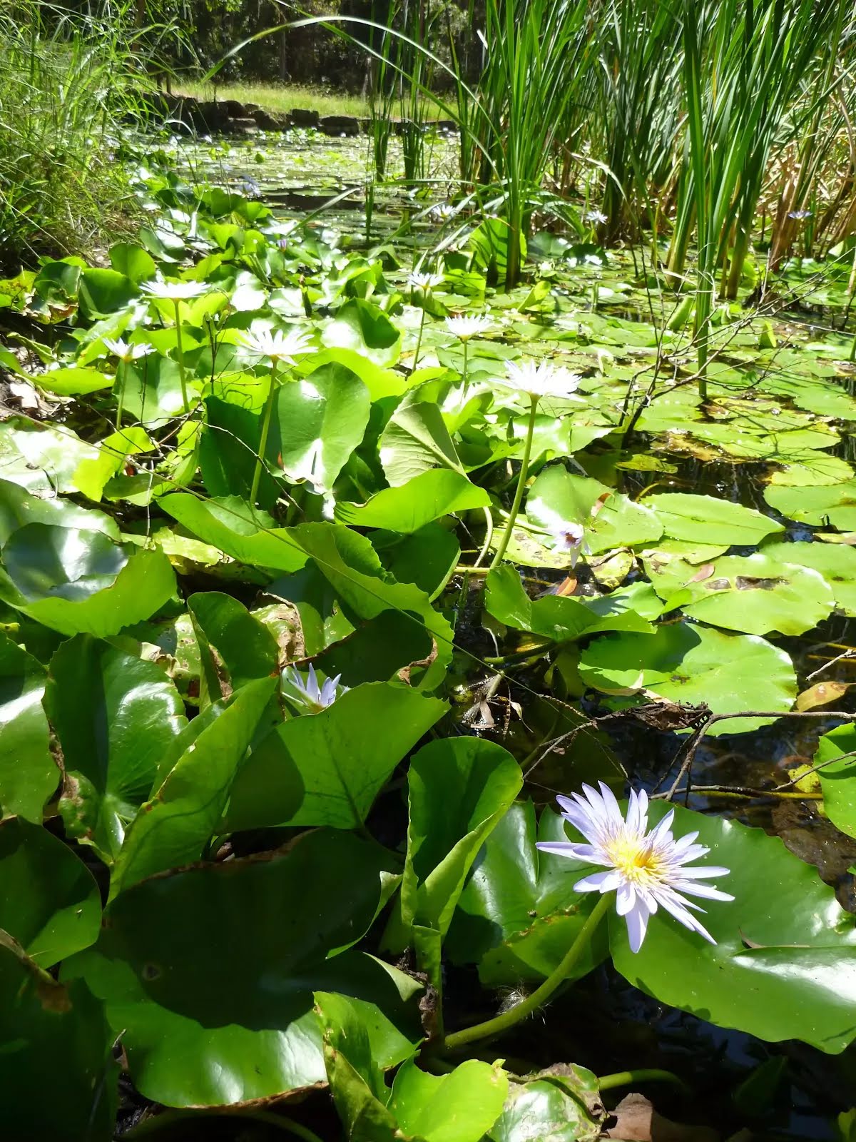
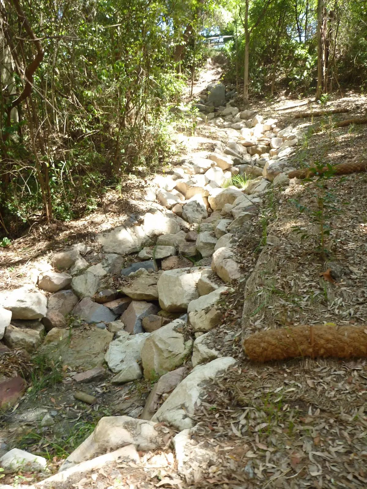
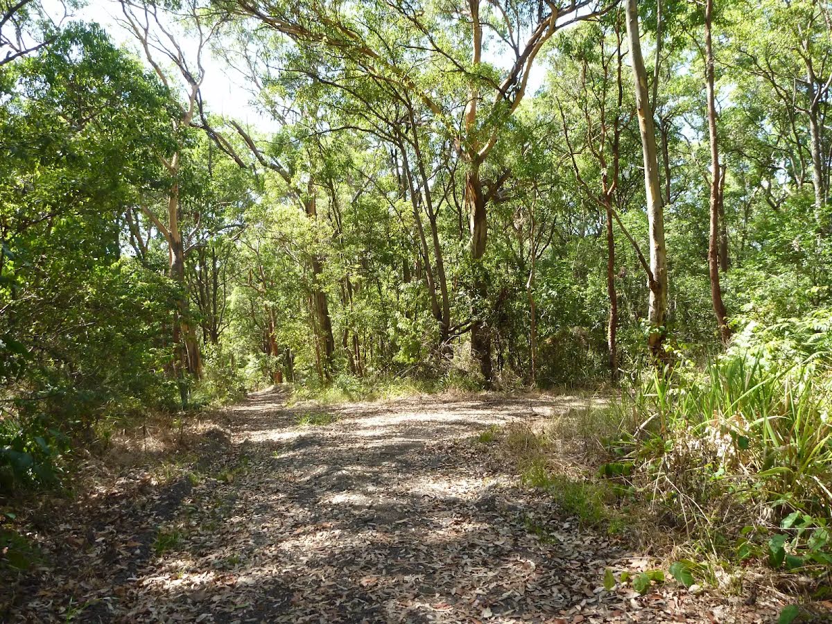
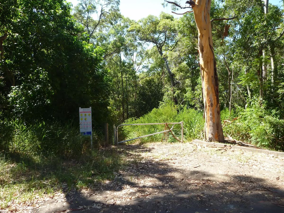
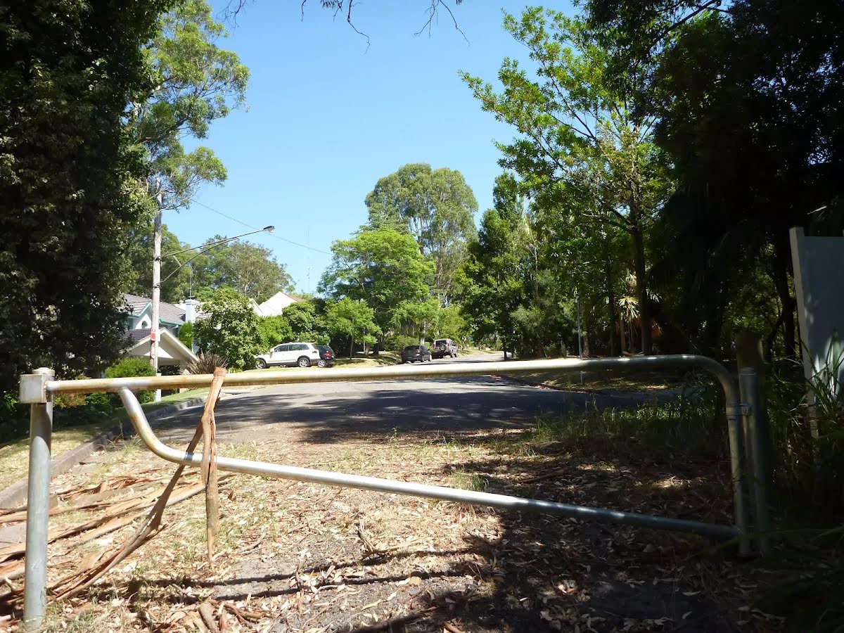
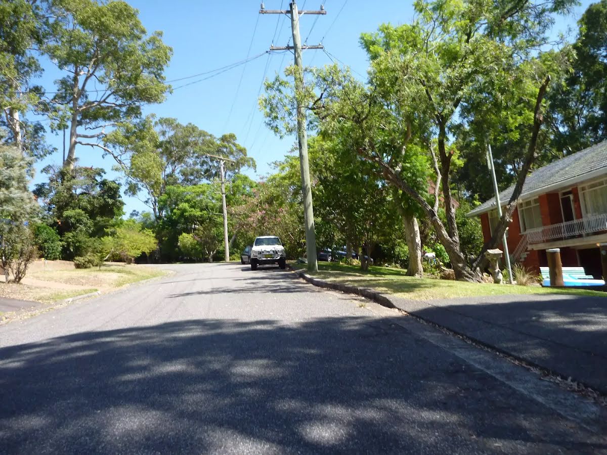
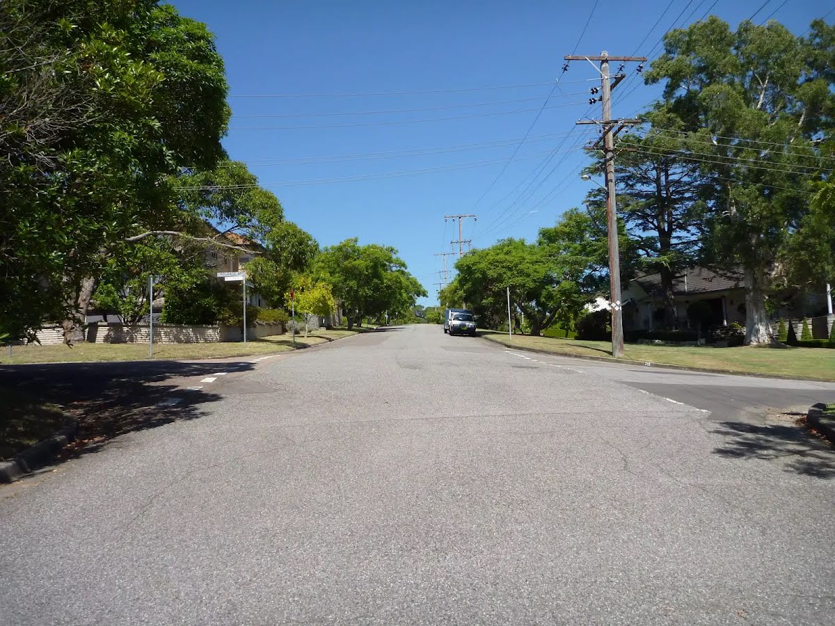
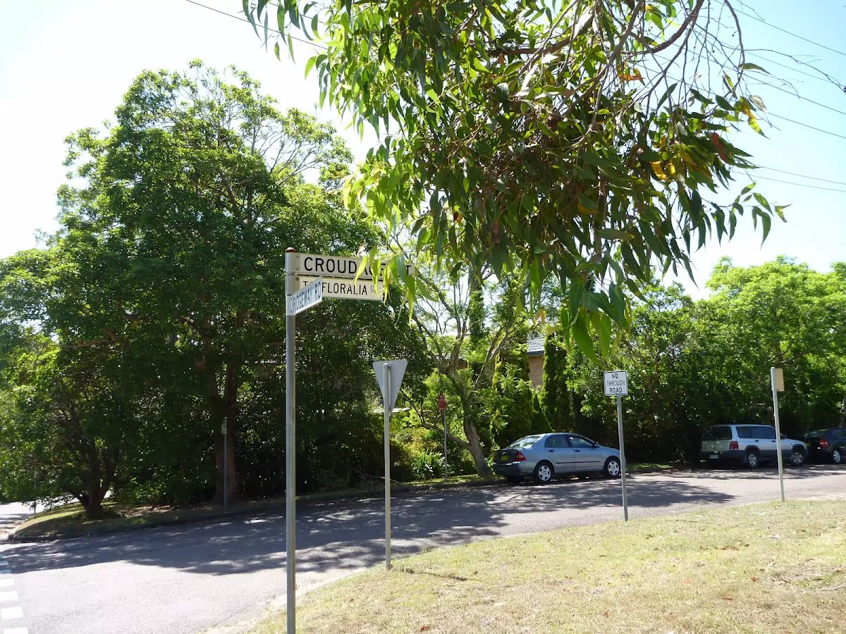
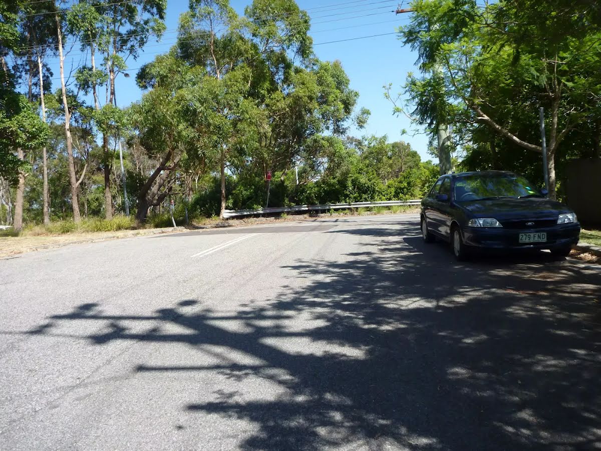
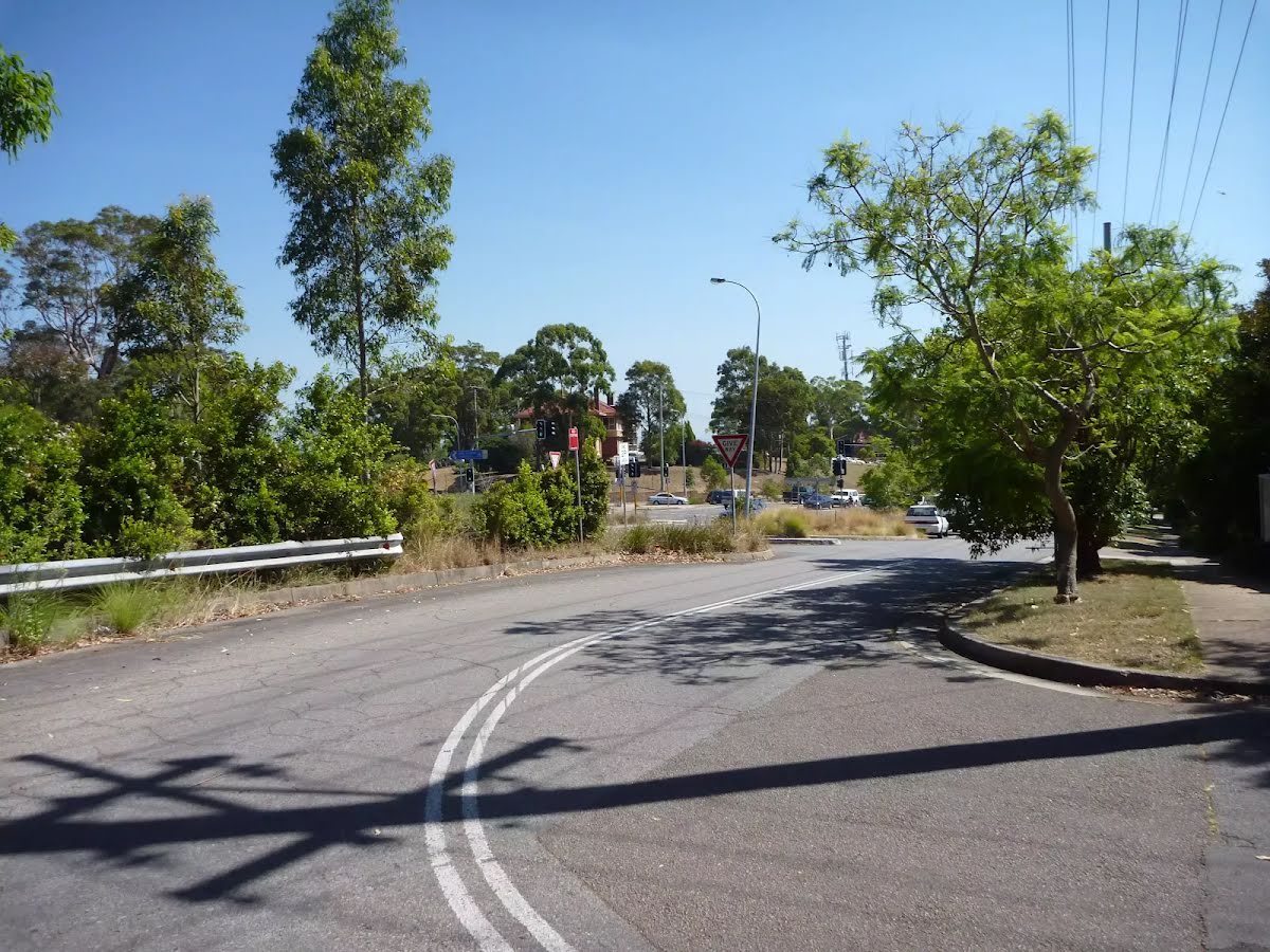
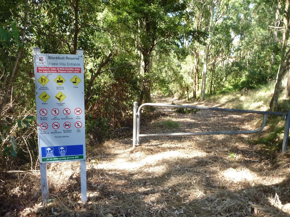
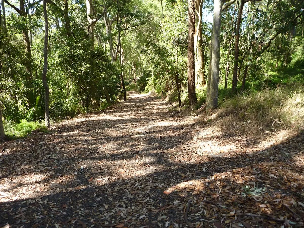
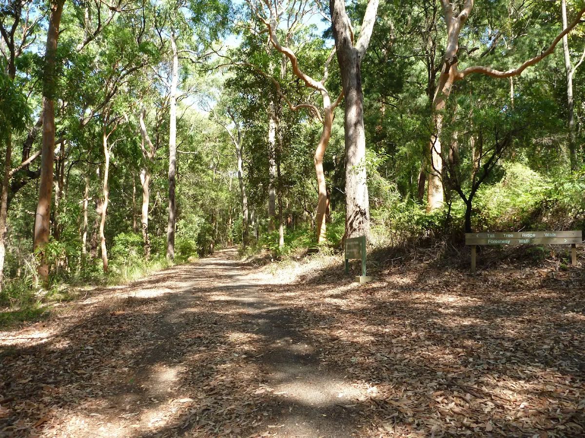
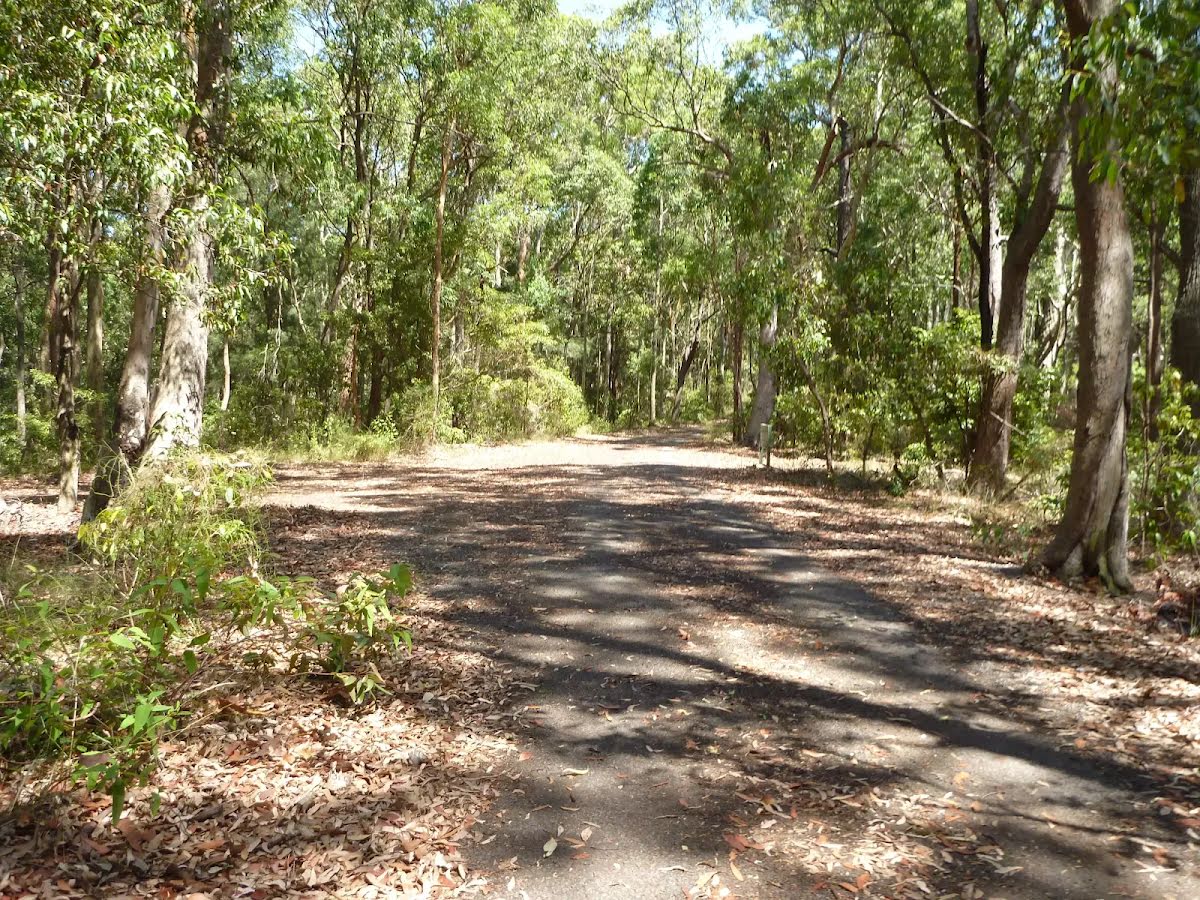
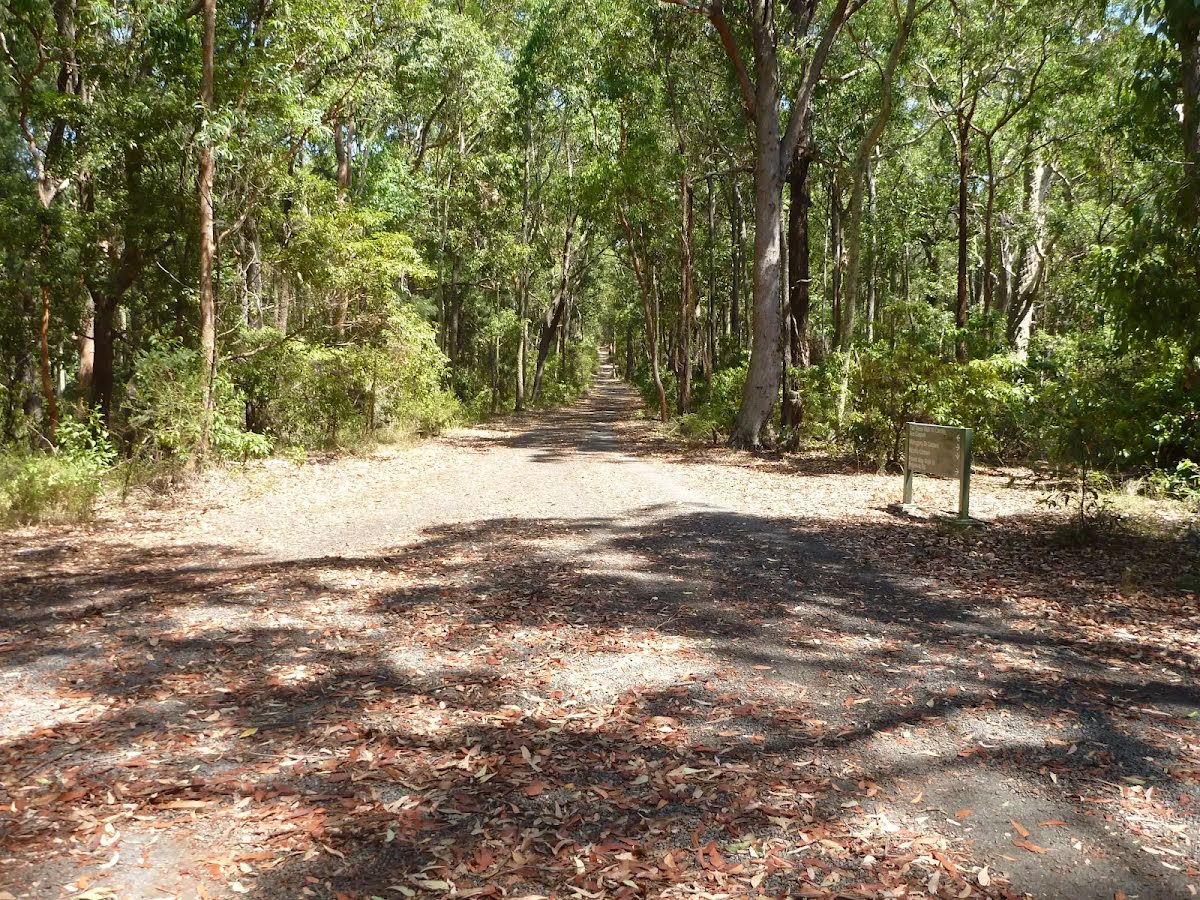
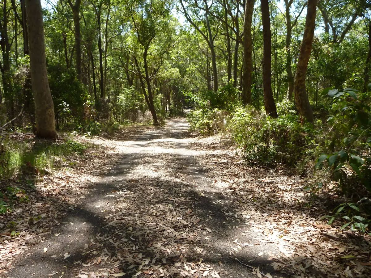
The starting point of an optional sidetrip. An optional side trip to Richley Reserve (Four Way Intersection). To start this optional side trip turn sharp left here. On returning from this side trip veer left when you get back to this intersection. Details below.
|
 |
|
 |
|
 |
|
 |
|
 |
|
 |
|
 |
|
 |
|
 |
| Turn map | Directions & comments |
|---|---|
 |
|
 |
|
 |
|
 |

|
|
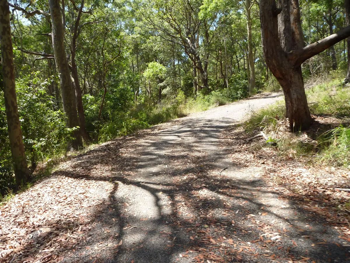
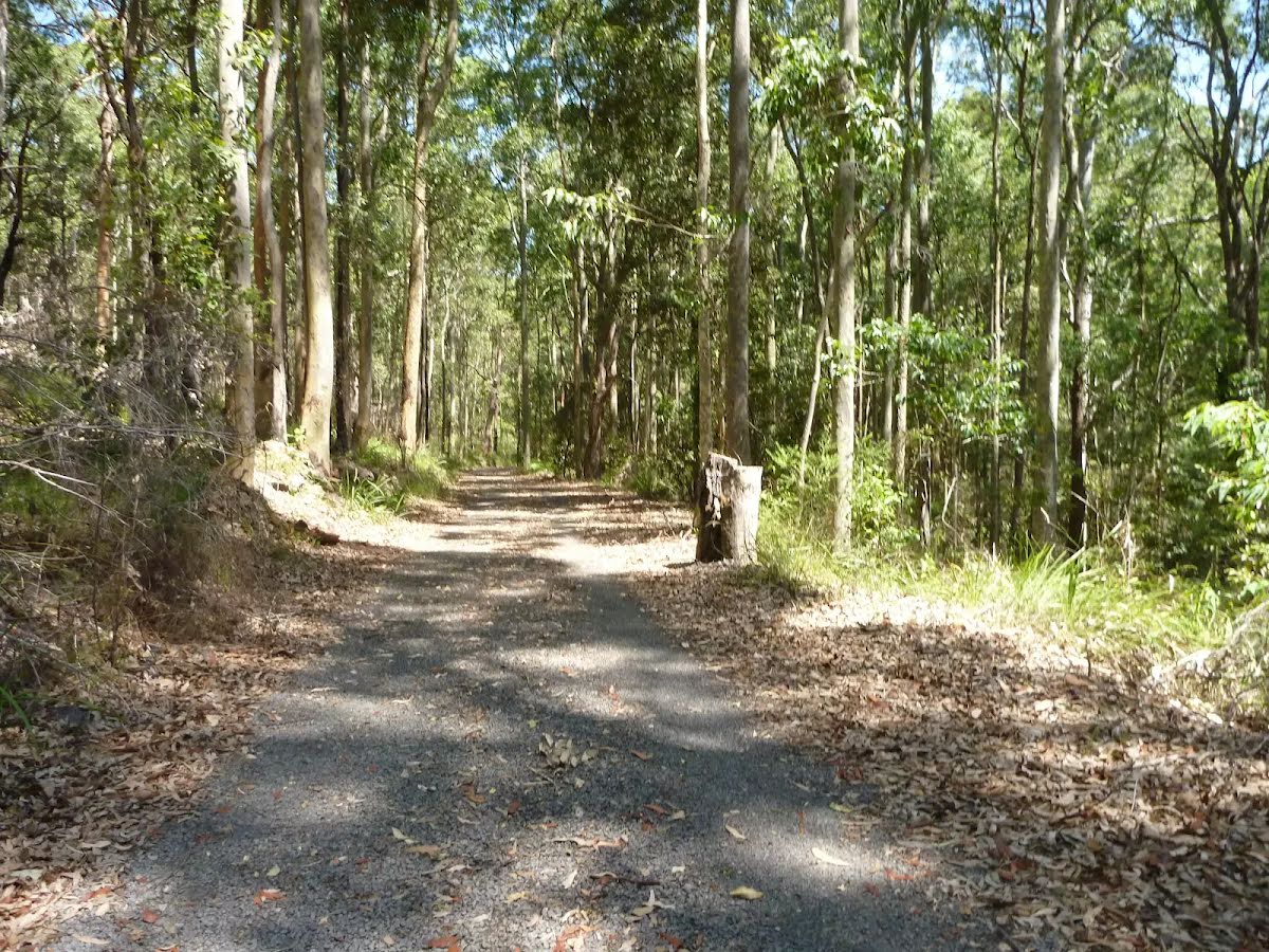
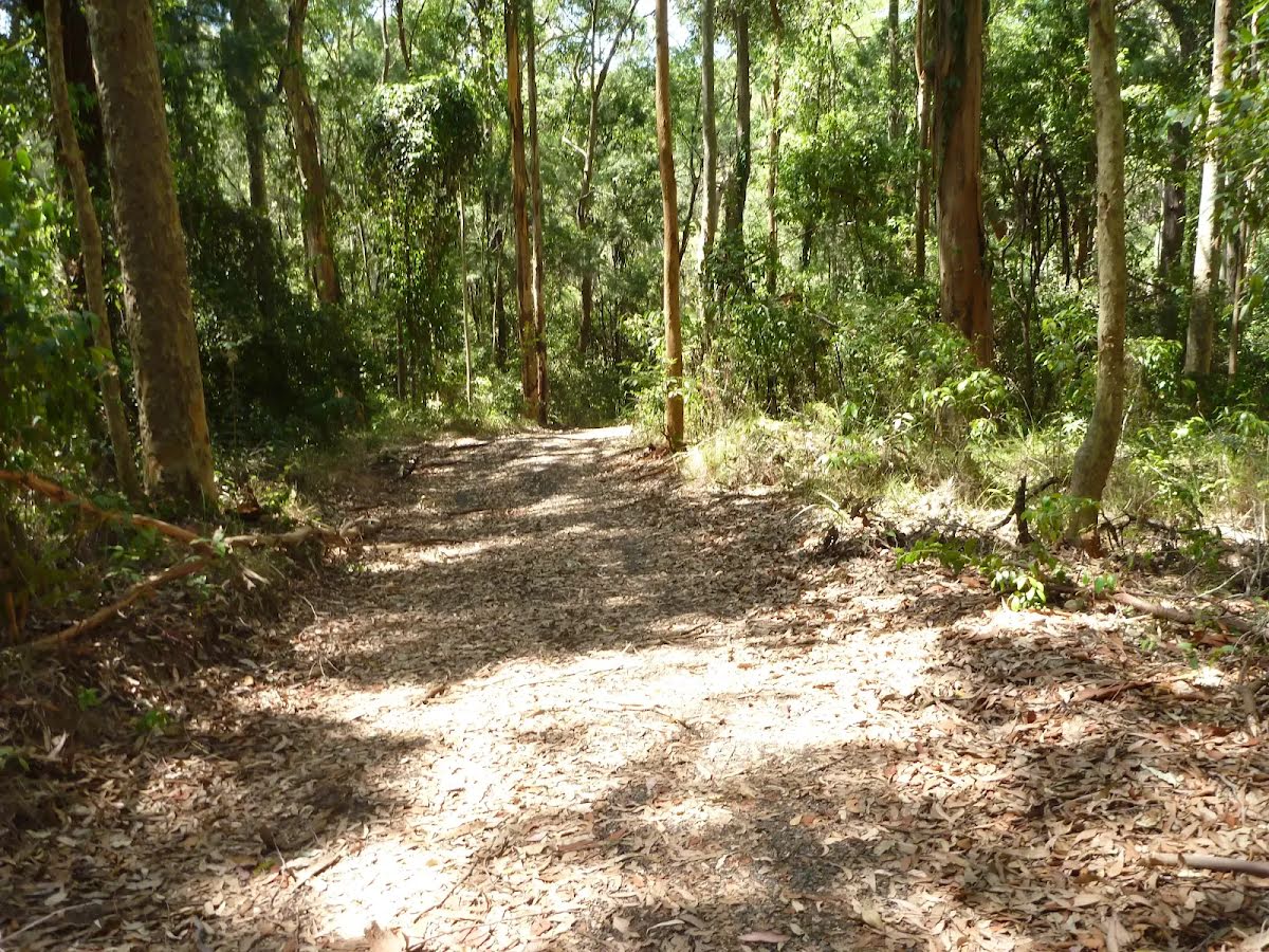
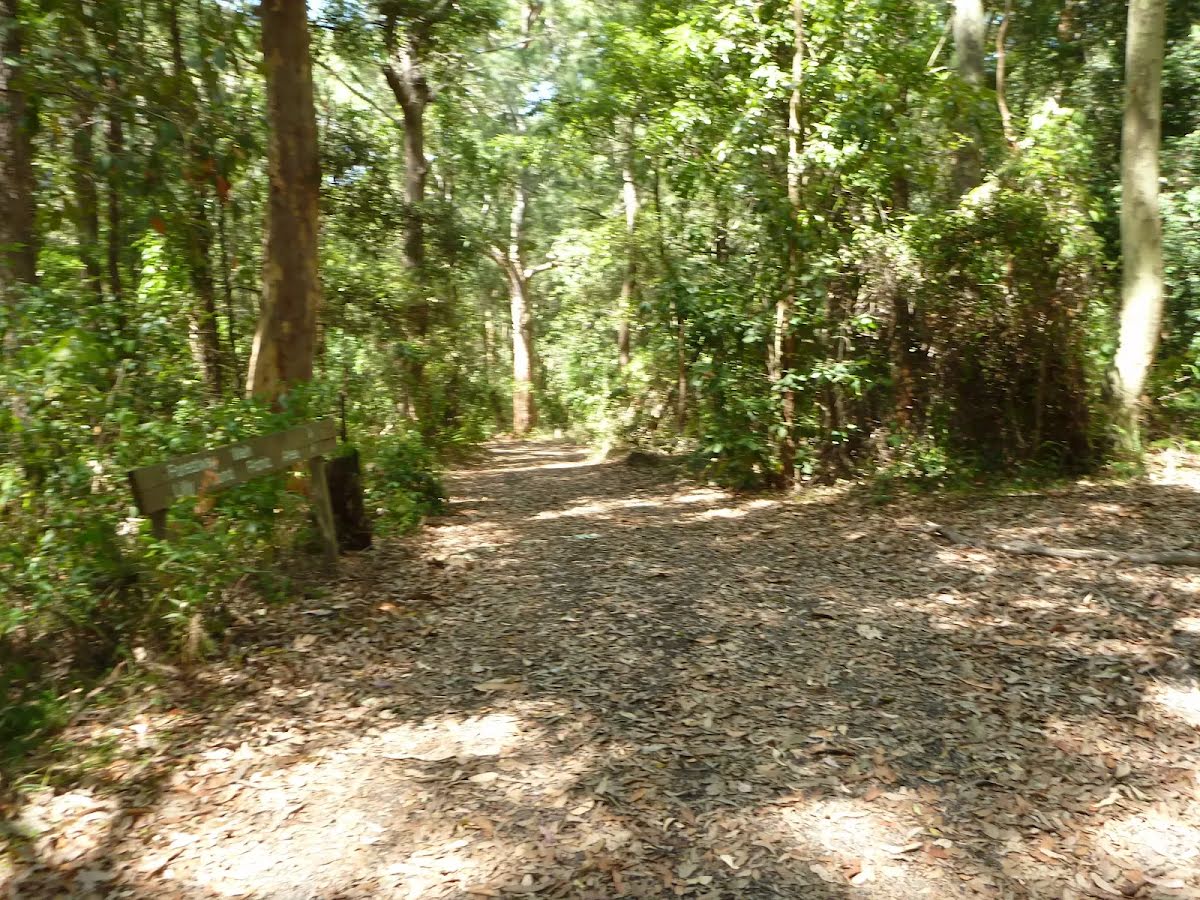
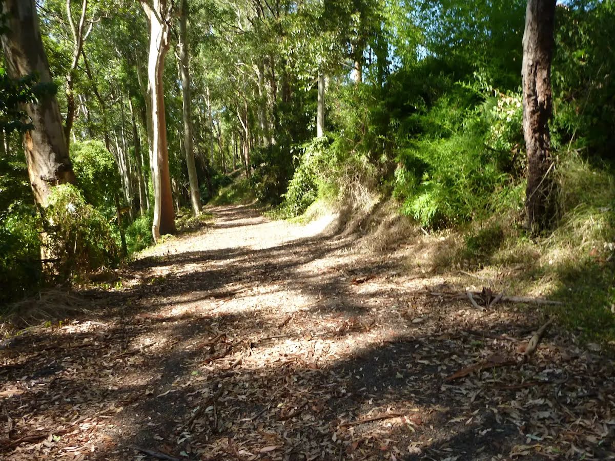
Class 3/6 Moderate track |
|---|---|
| Length | 2.7 km |
| Time | 1 h to 2 h |
| Quality of track | Clear and well formed track or trail (2/6) |
| Gradient | Gentle hills with occasional steps (2/6) |
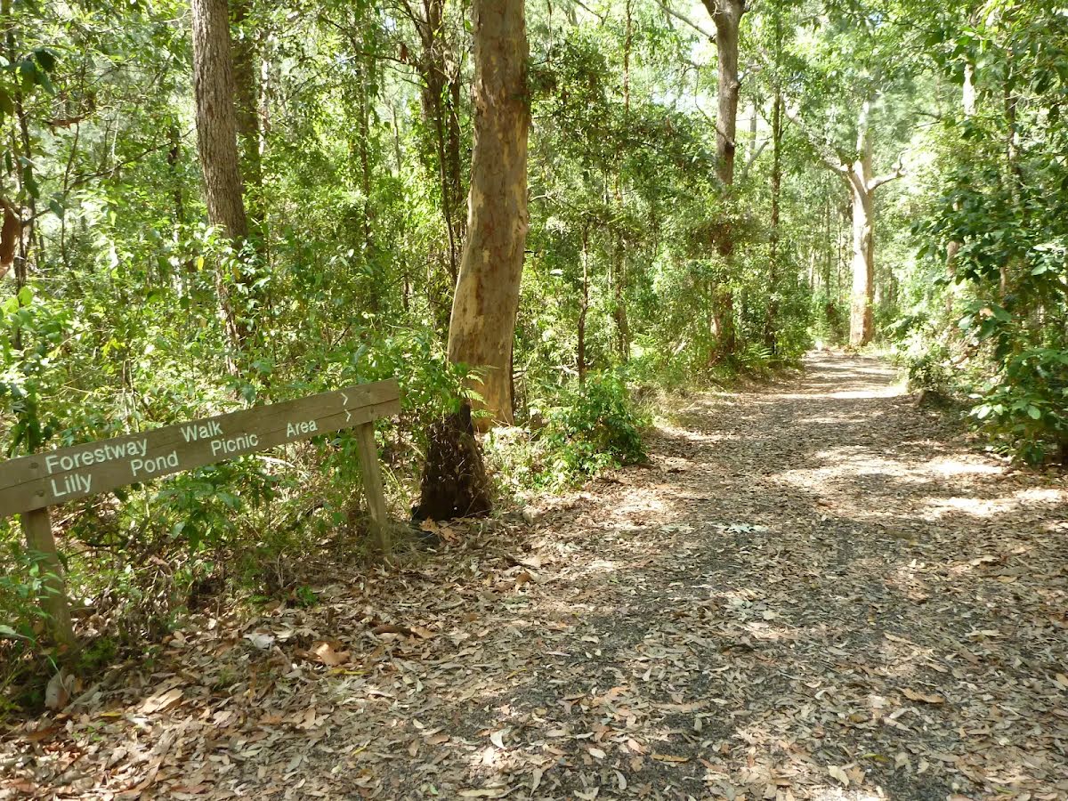
| Signage | Directional signs along the way (3/6) |
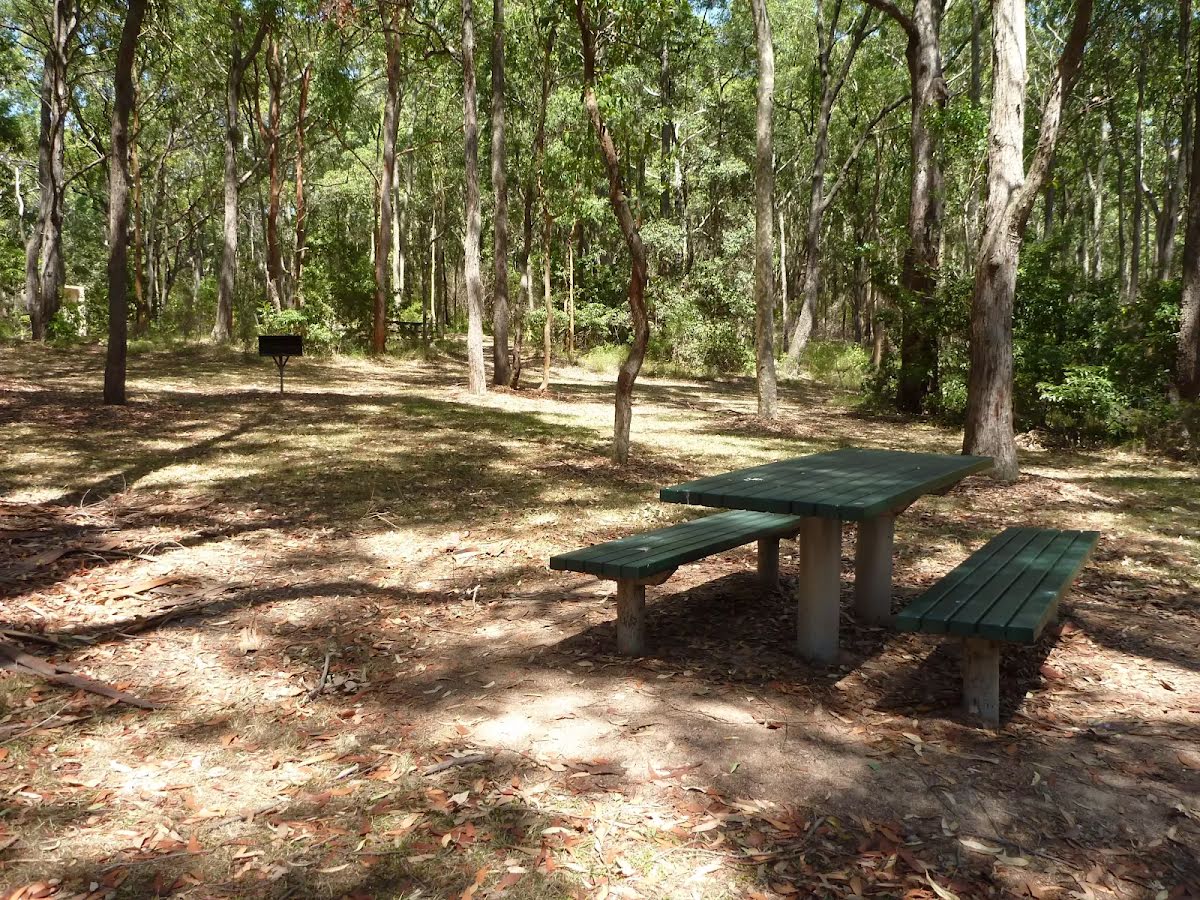
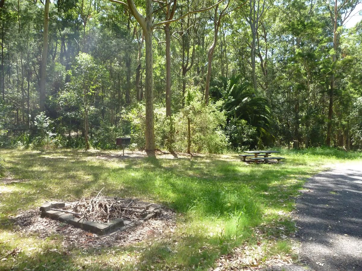
| Infrastructure | Generally useful facilities (such as fenced cliffs and seats) (1/6) |
| Experience Required | No experience required (1/6) |
| Weather | Weather generally has little impact on safety (1/6) |