| Start | (-34.0878708,151.0083065) |
| Mode | Car (There is free parking available.) Train |
| Directions | From Heathcote Road, A6
|
| Finish | (-34.1351894,150.994091) |
| Mode (end) | Car Shuttle Car (There is free parking available.) |
| Turn map | Directions & comments |
|---|---|
 |
|
 |
|
 |
|
 |
|
 |
|
 |
|
 |
|
 |
|
 |
|
 |
|
 |
|
 |
|
 |
|
 |
|
 |
|
 |
|
 |
|
 |
The starting point of an optional sidetrip. An optional side trip to Lake Eckersley. To start this optional side trip veer right here. On returning from this side trip turn left when you get back to this intersection. Details below.
|
 |
The starting point of an optional sidetrip. An optional side trip to Lake Eckersley. To start this optional side trip veer right here. On returning from this side trip error >360 when you get back to this intersection. Details below.
|
 |
|
 |
|
 |
|
 |
|
 |
|
 |
|
 |
|
 |
|
 |
|
 |
|
 |
|
 |
|
 |
|
 |
|
 |
|
 |
|
 |
|
 |
|
 |
|
 |
|
 |
| Turn map | Directions & comments |
|---|---|
 |
|
 |
|
 |

|
|
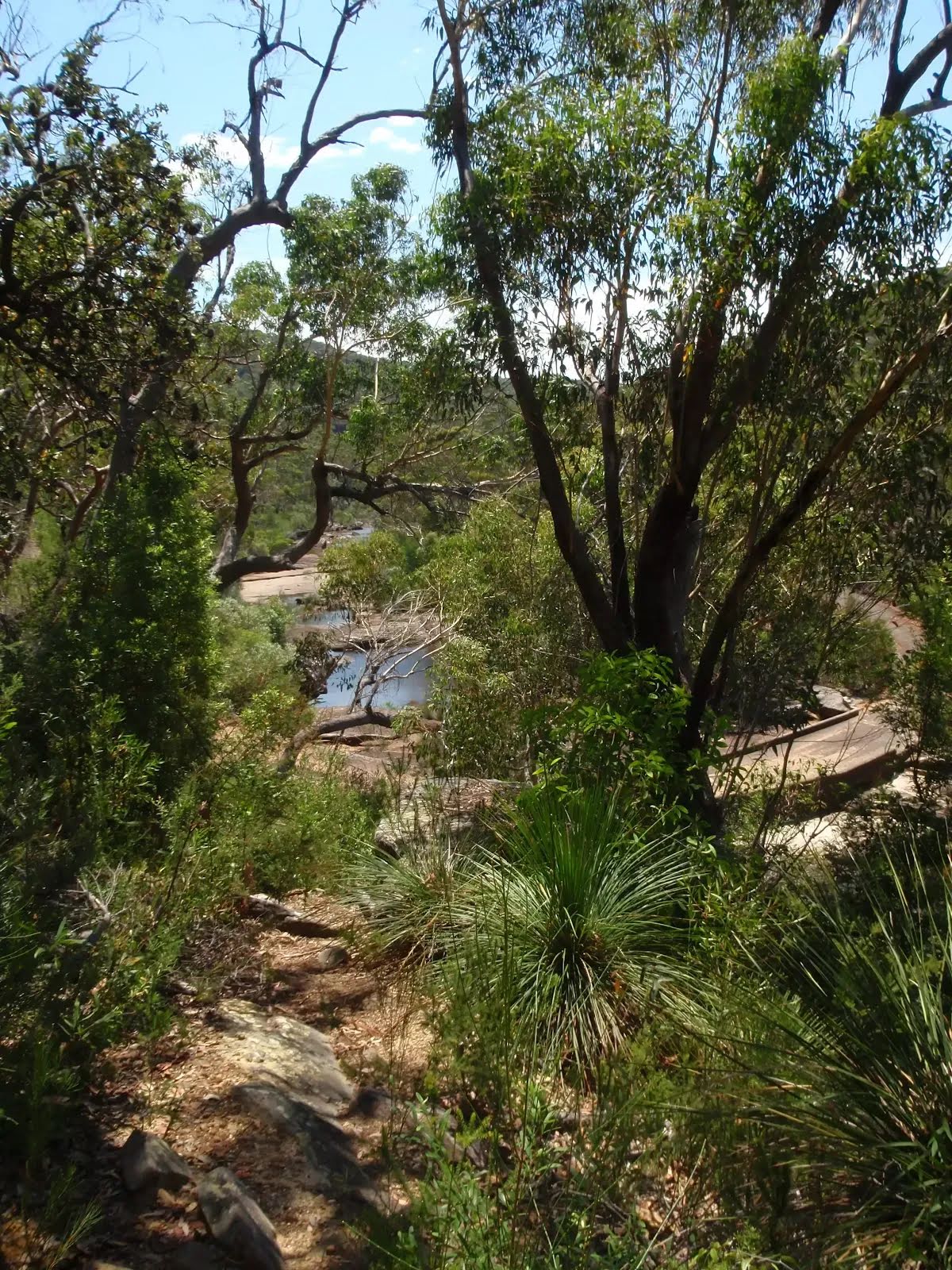
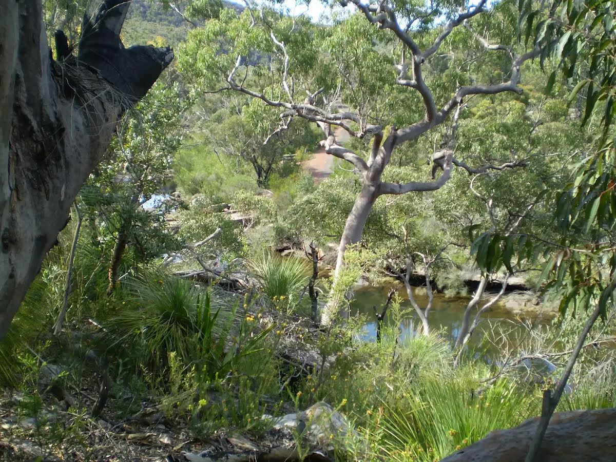
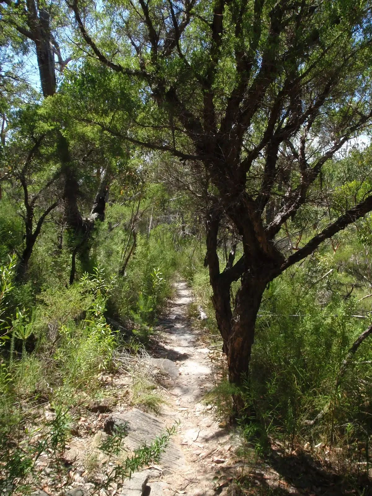
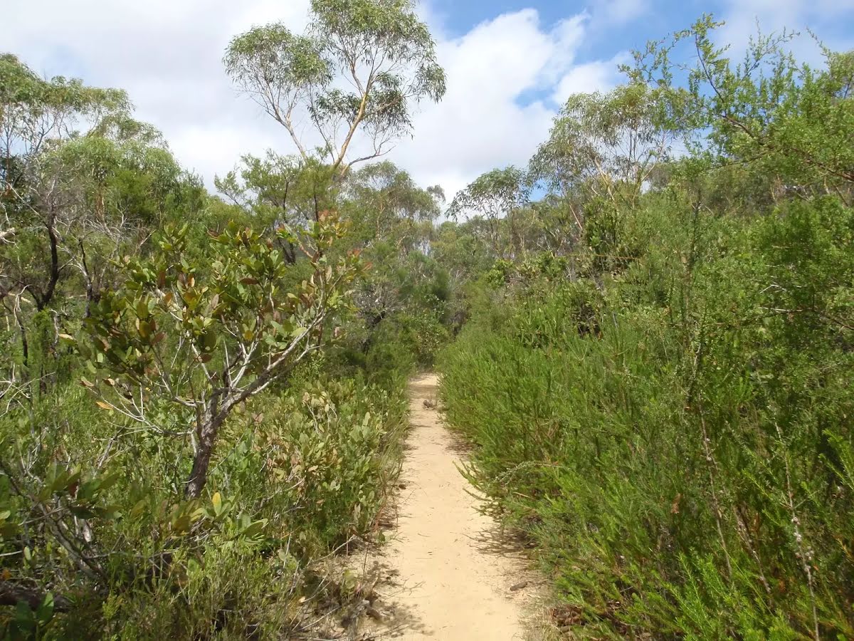
Class 4/6 Hard track |
|---|---|
| Length | 11.5 km |
| Time | 4 h to 2 days |
| Quality of track | Rough track, where fallen trees and other obstacles are likely (4/6) |
| Gradient | Short steep hills (3/6) |
| Signage | Minimal directional signs (4/6) |
| Infrastructure | Limited facilities, not all cliffs are fenced (3/6) |
| Experience Required | Some bushwalking experience recommended (3/6) |
| Weather | Weather generally has little impact on safety (1/6) |
| Item | From Start | Name & link to notes |
|---|---|---|
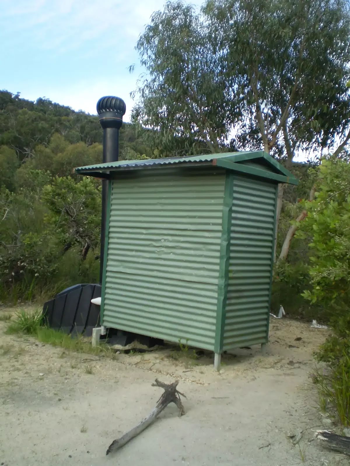
Toilet
| 50 m | [toilet] |
Campsite
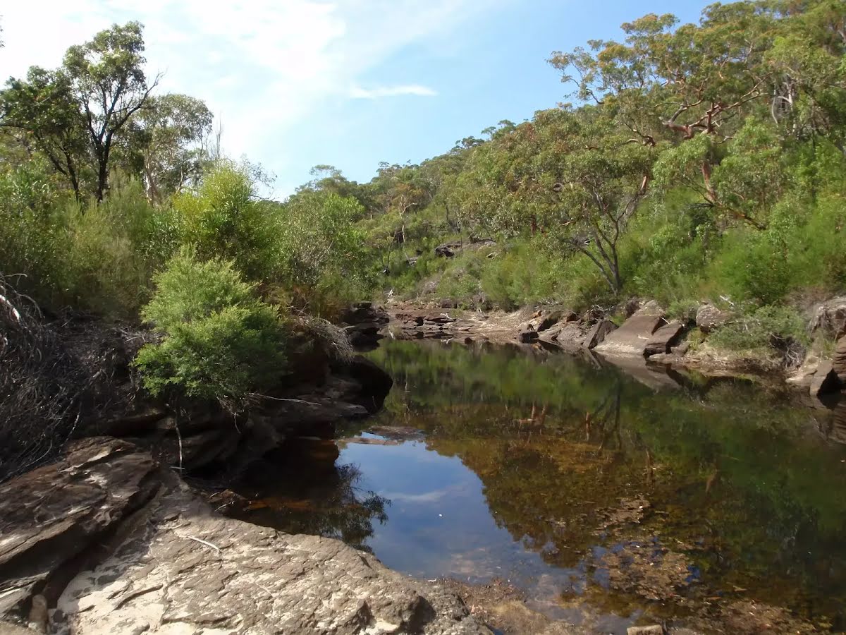
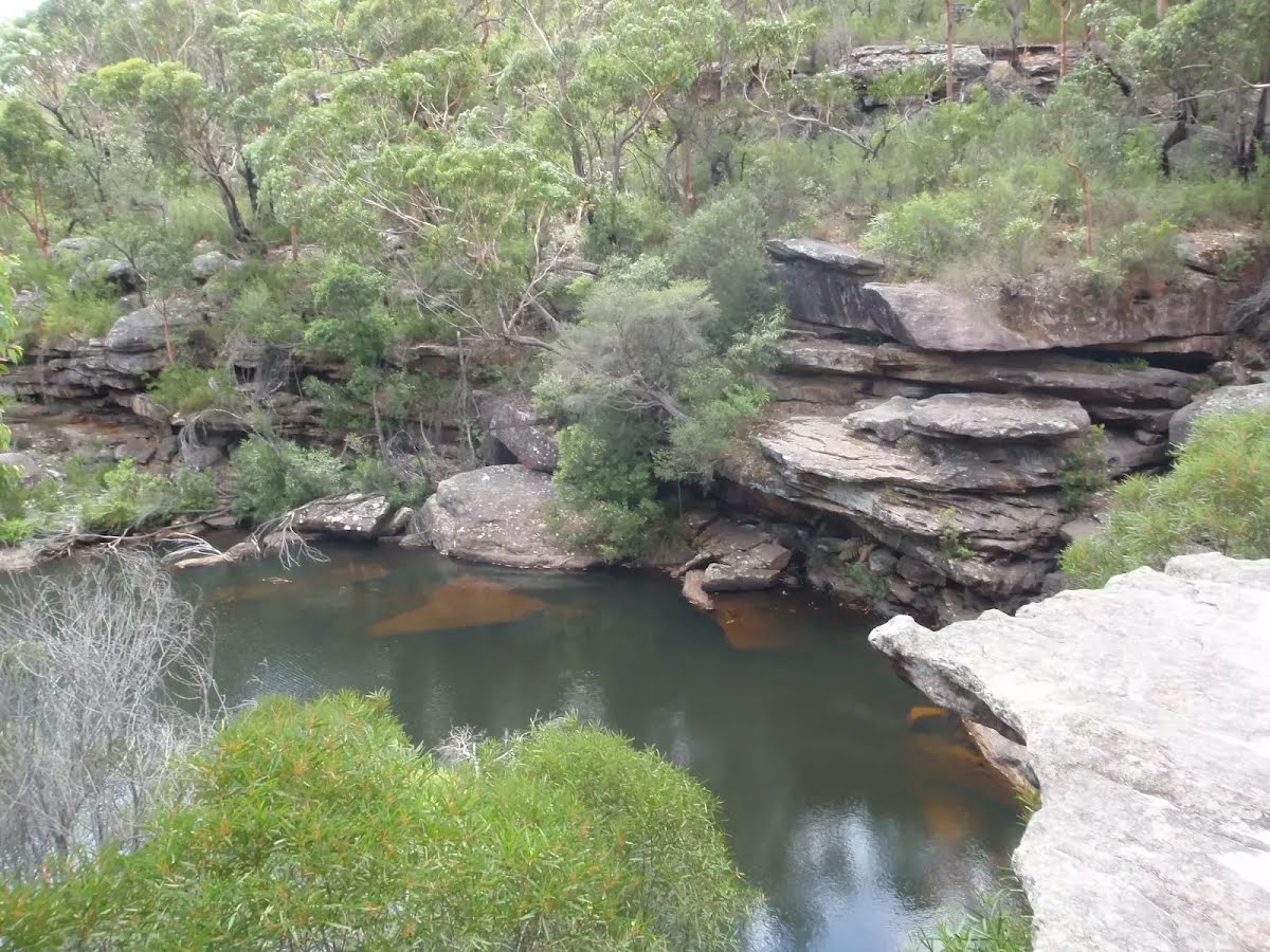
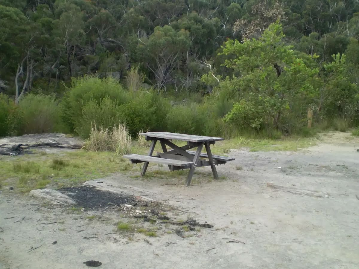
| 2.9 km | Mirang Pool camping ground |
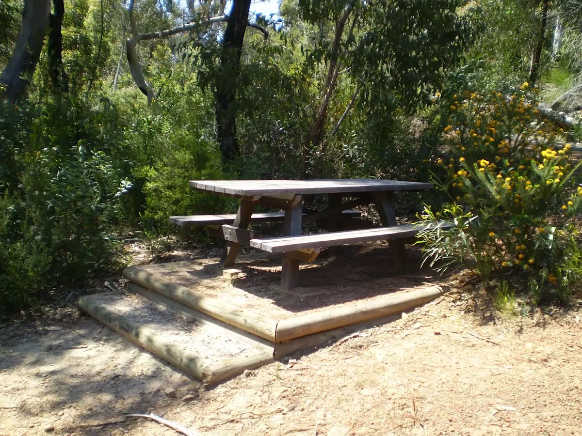
Seat
| 3.2 km | [seat] |
Seat
| 4.2 km | [seat] |
Campsite
| 4.2 km + 570 m | Lake Eckersley camping ground |
Toilet
| 9 km | [toilet] |
Toilet
| 11.3 km | [toilet] |
Toilet
| 11.4 km | [toilet] |