Kanning Cave Circuit
Darkinjung & Guringai Country

25 min to 30 min

1.3 km
circuit

↑ 31 m
↓ -35 m

Easy track
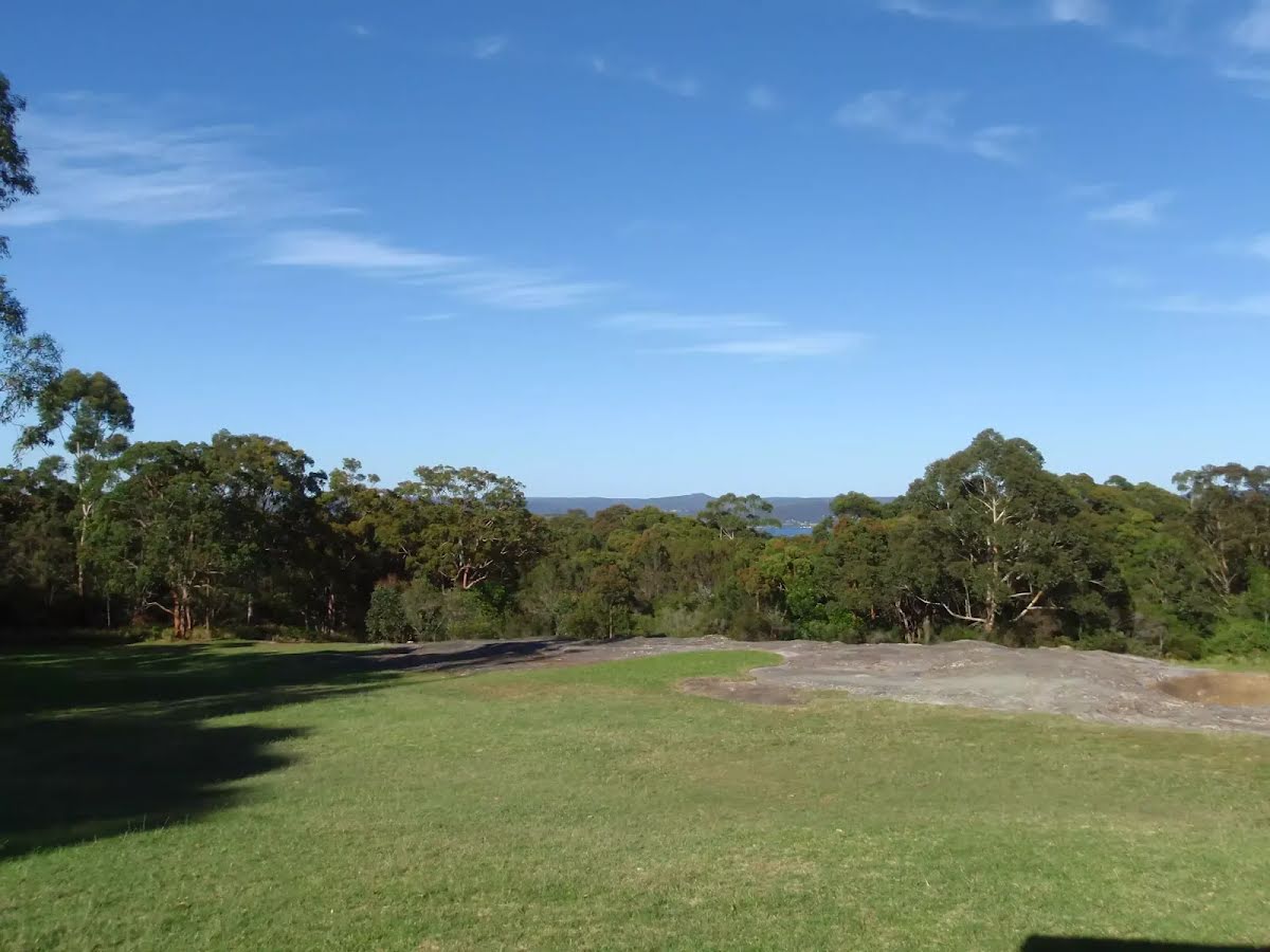
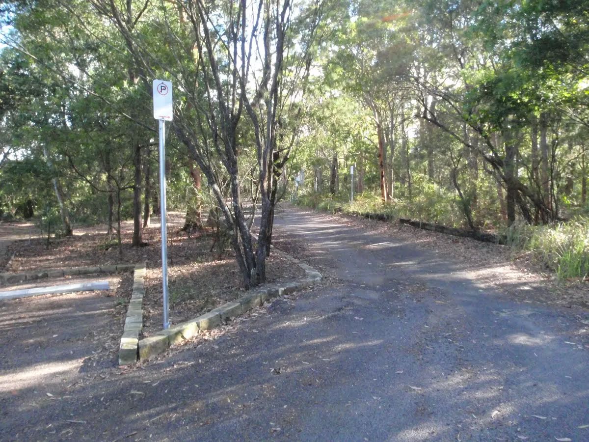
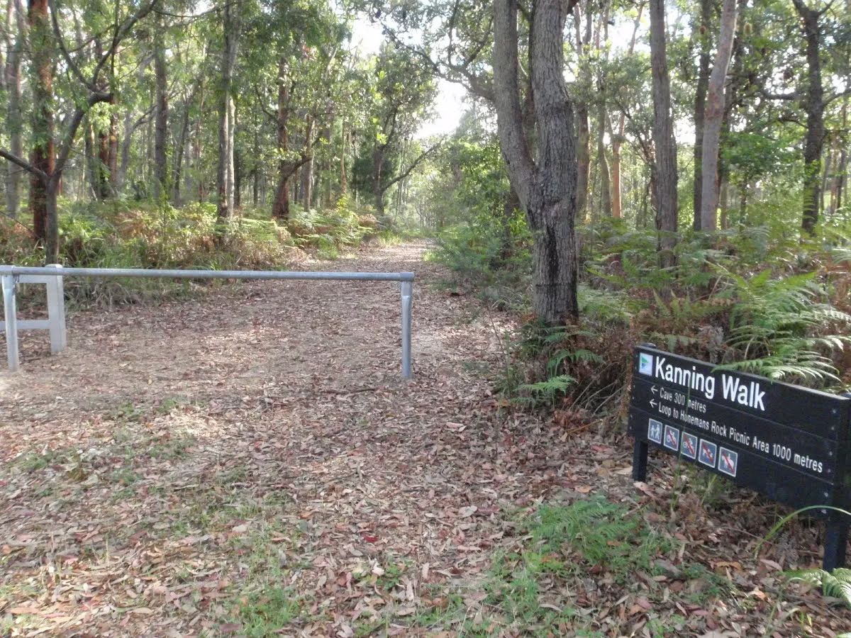
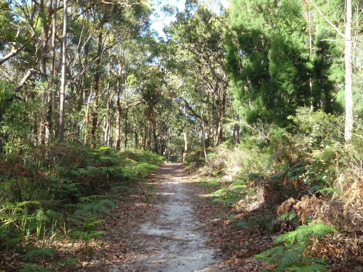
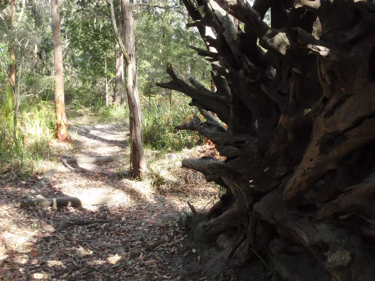
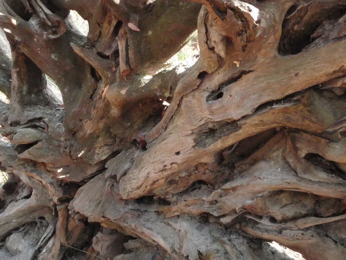
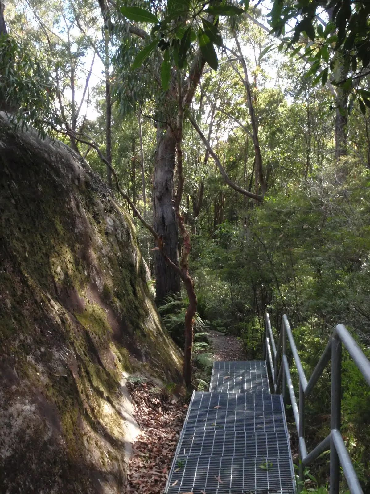
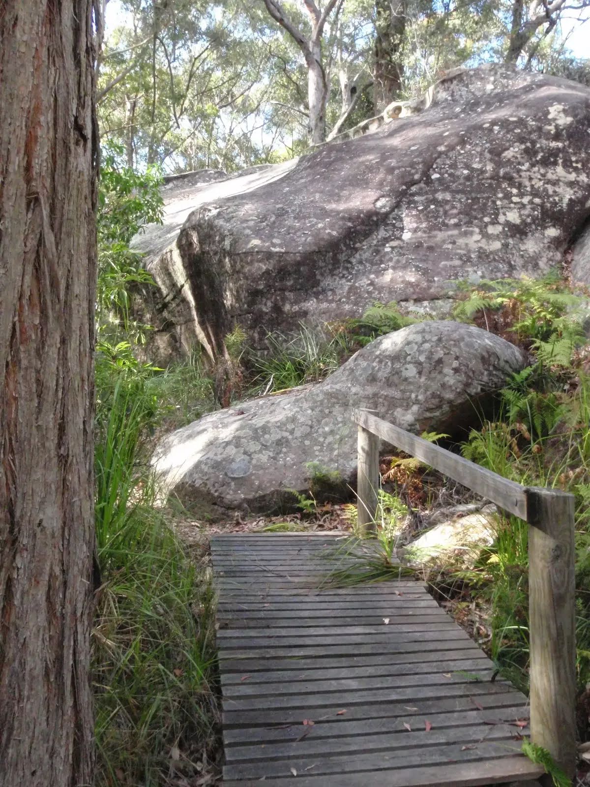
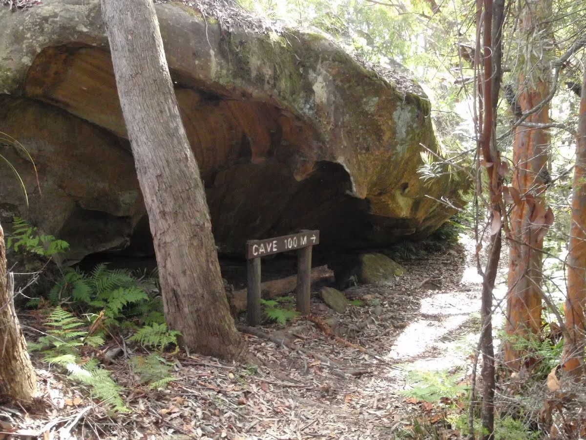
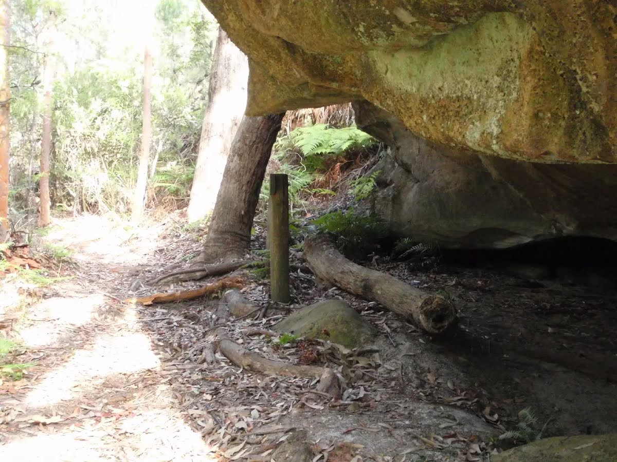
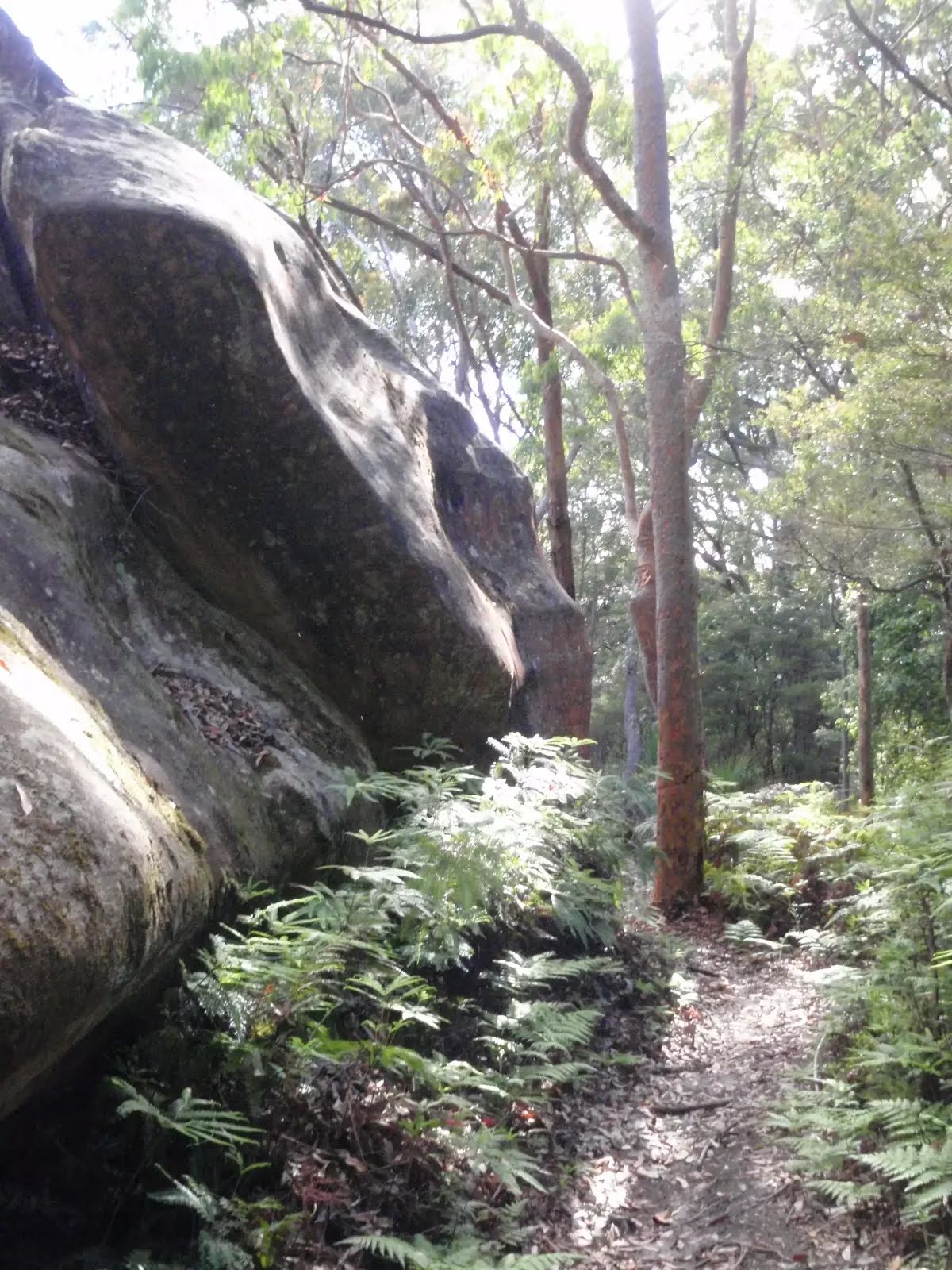
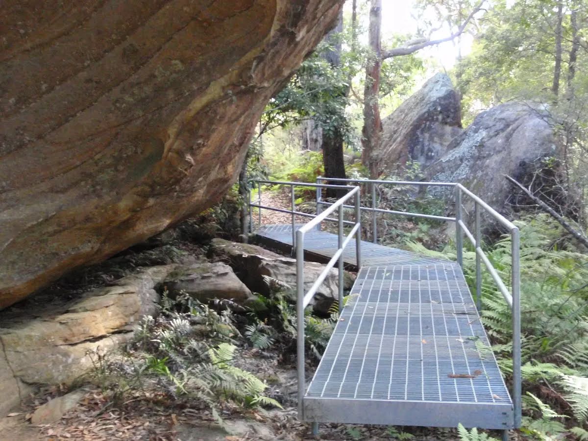
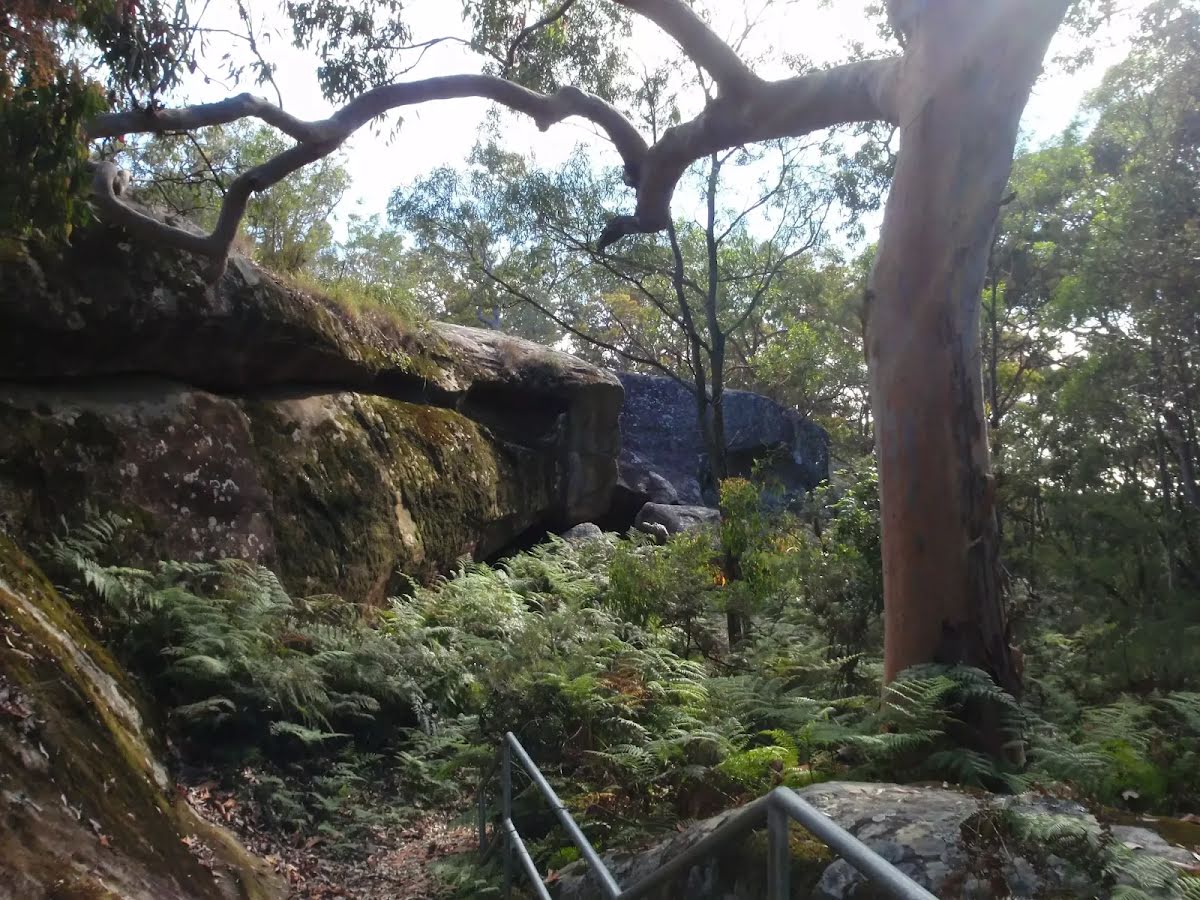
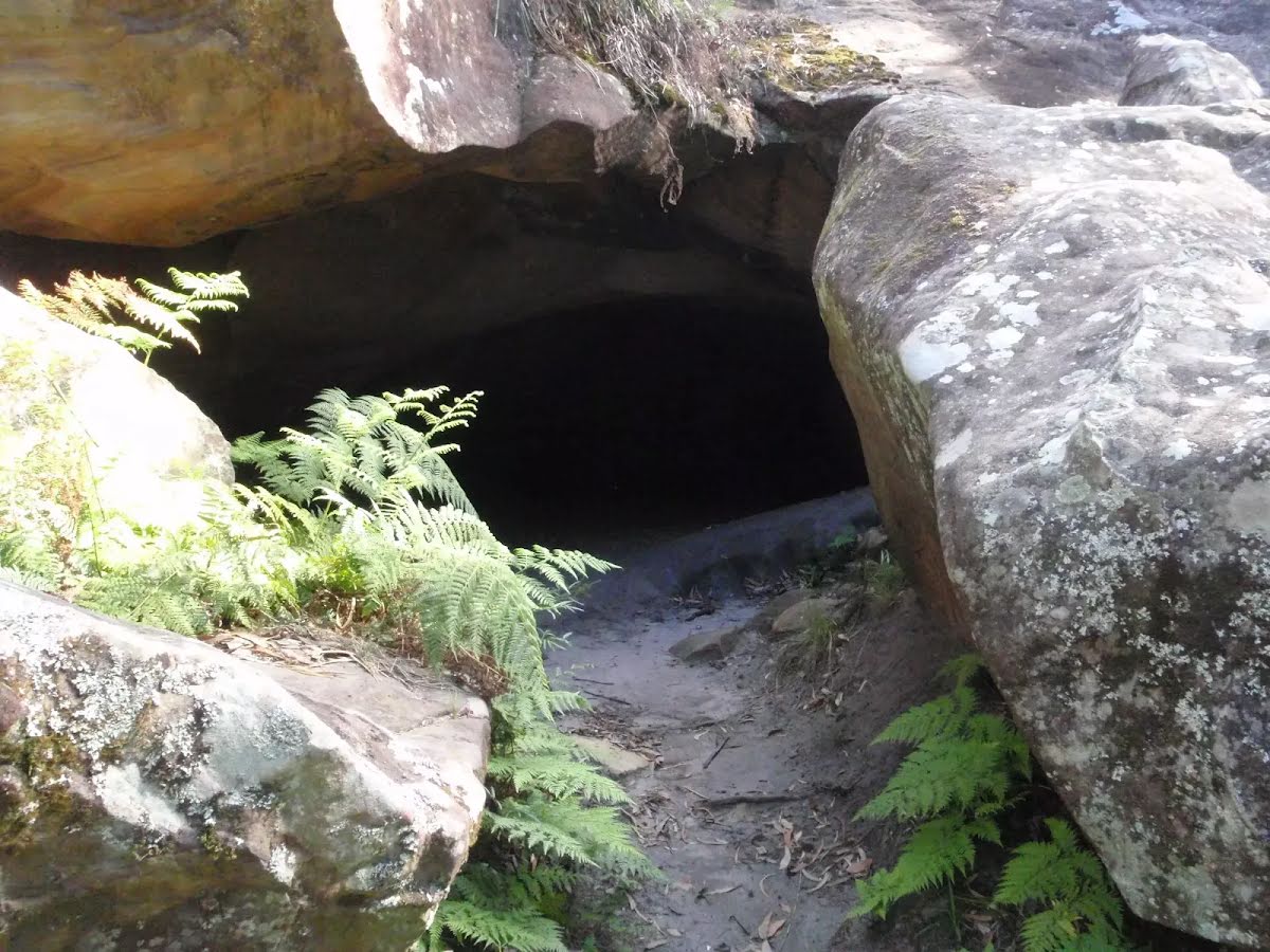
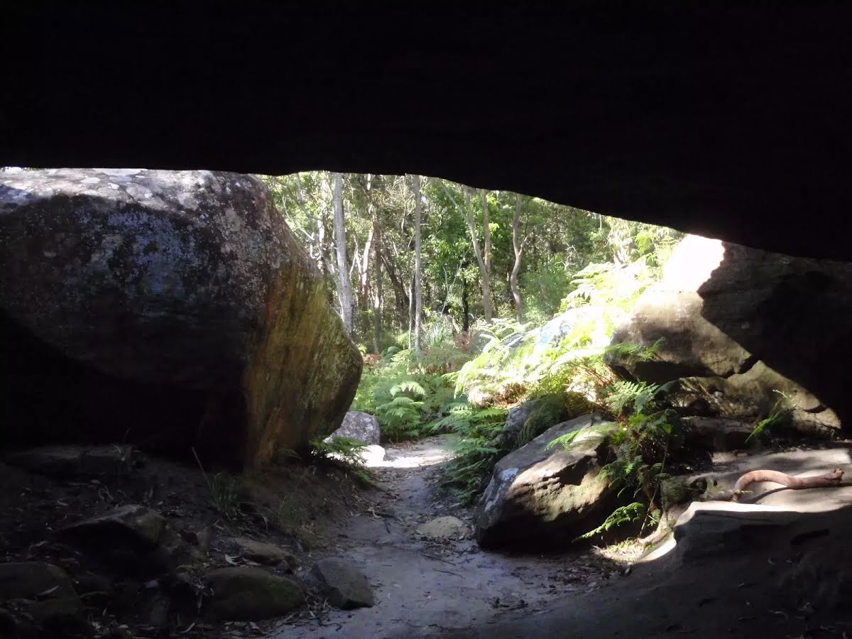
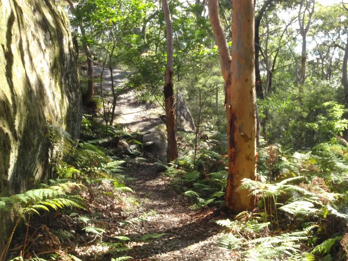
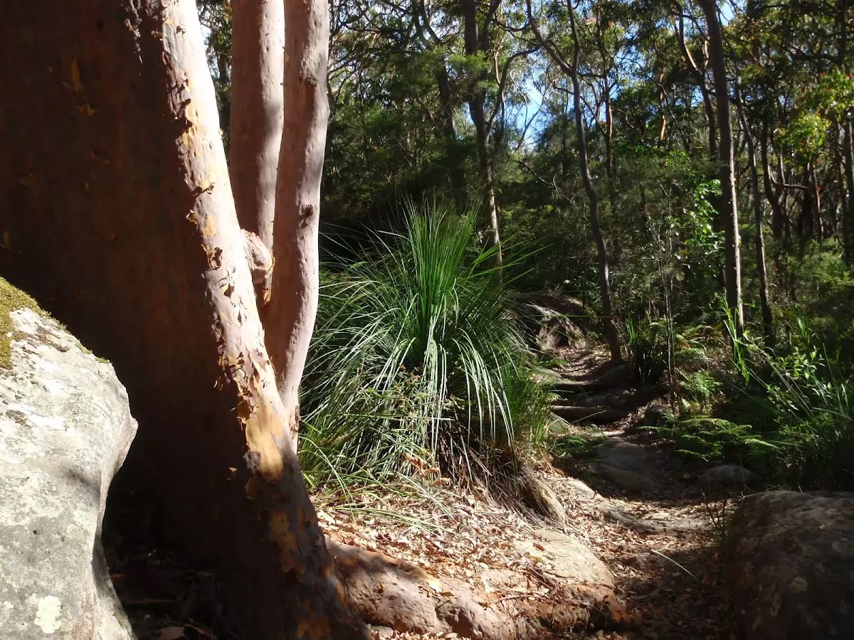
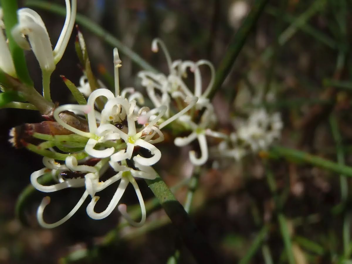
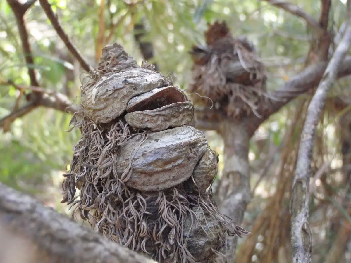
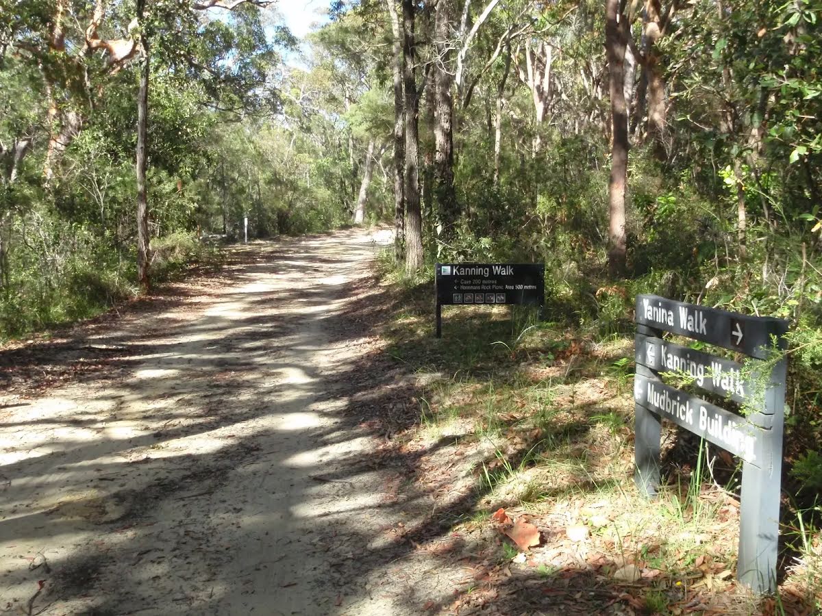
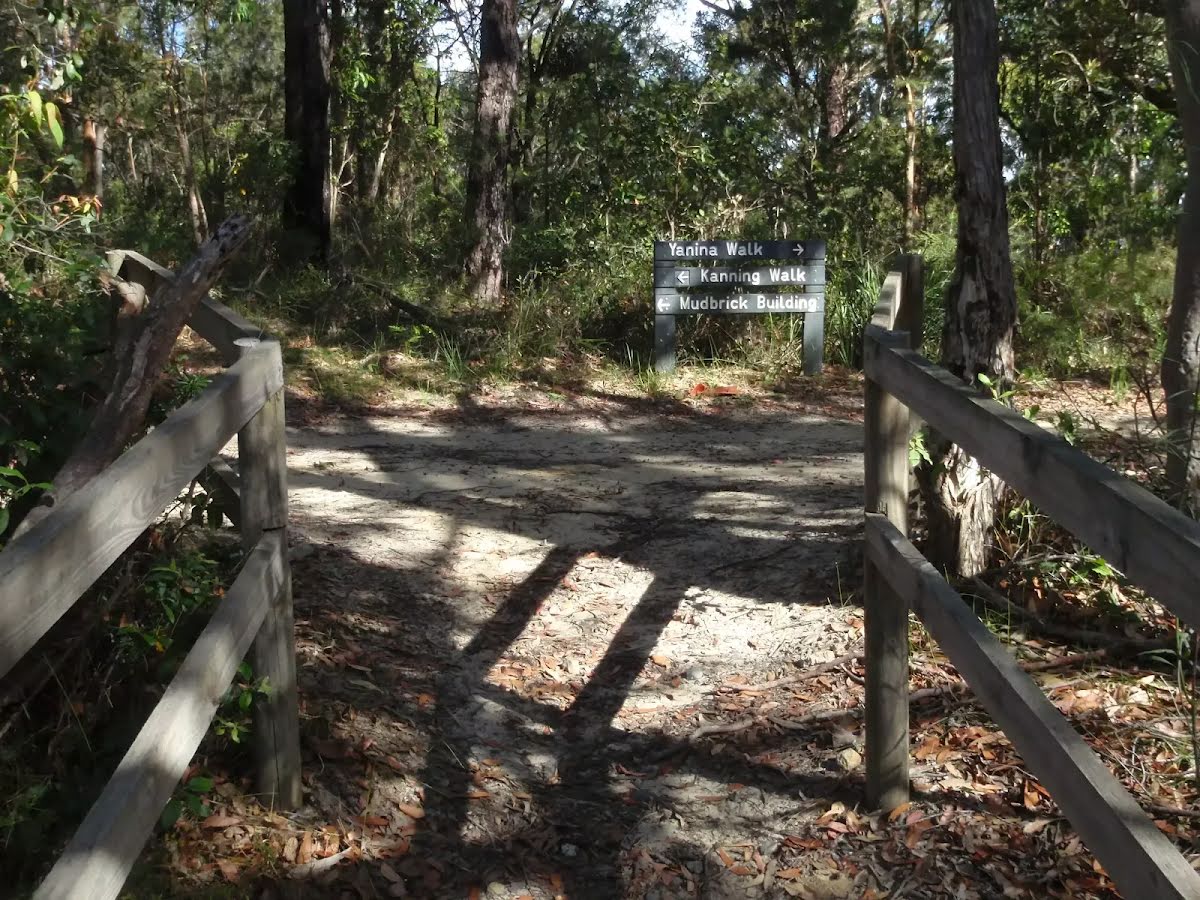
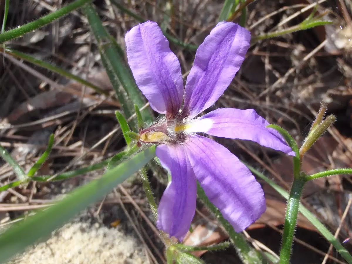
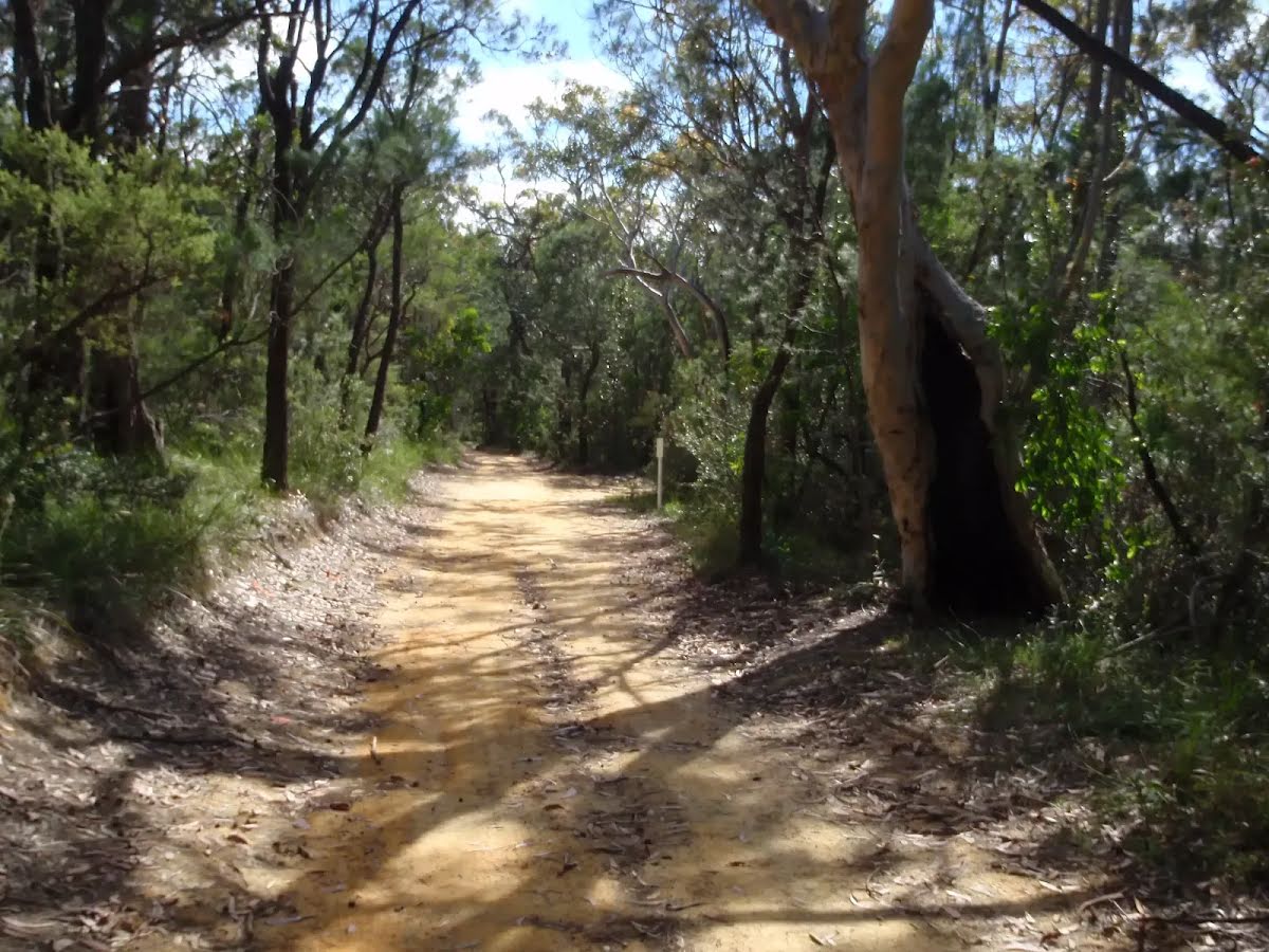
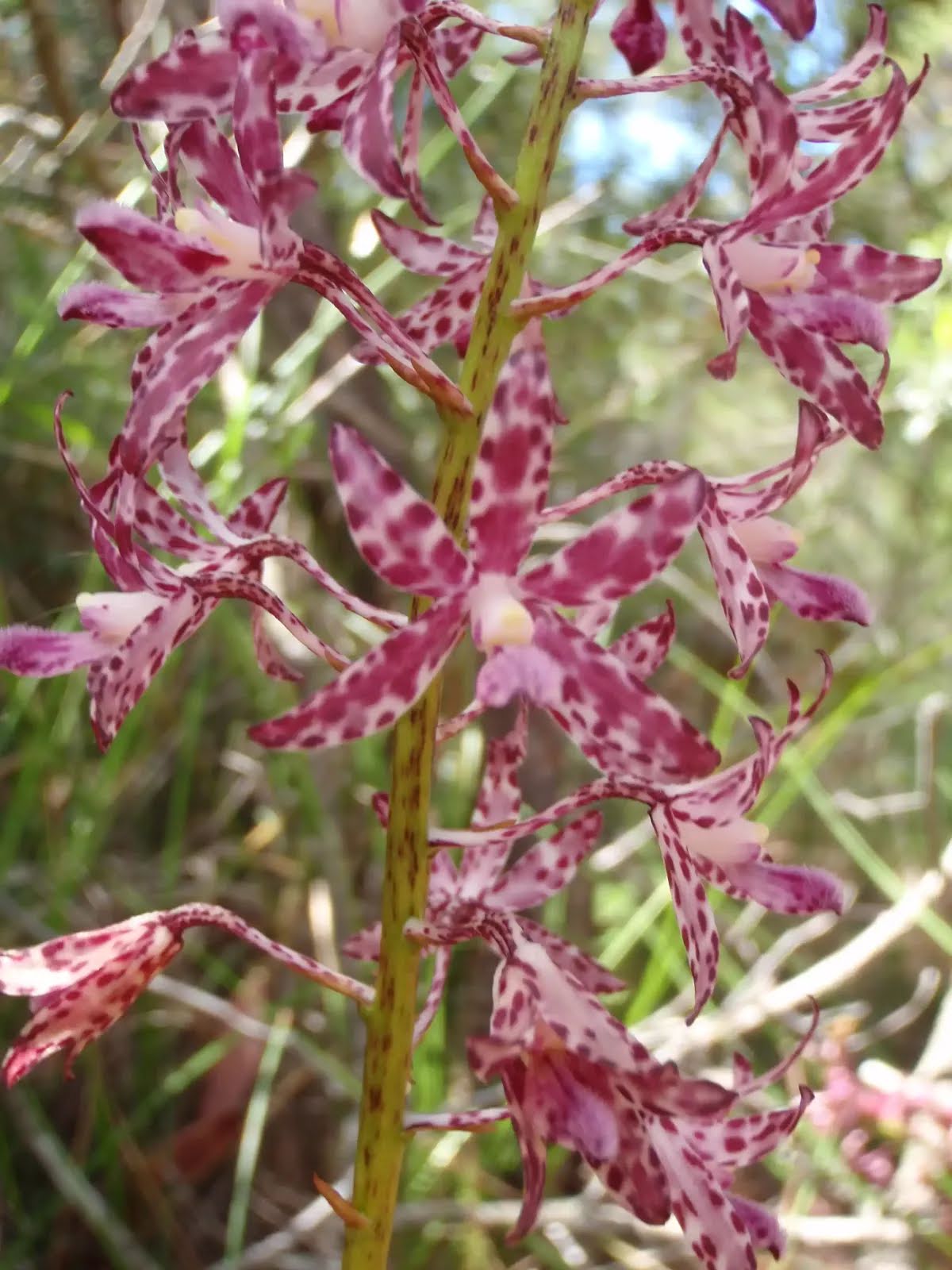
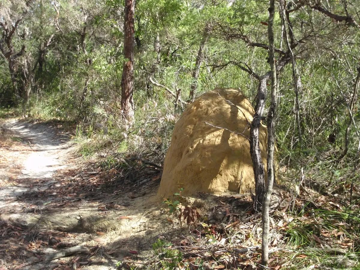
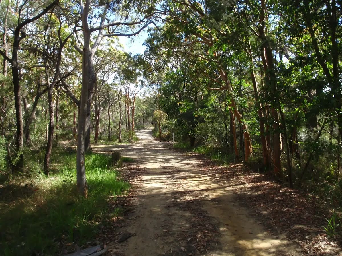
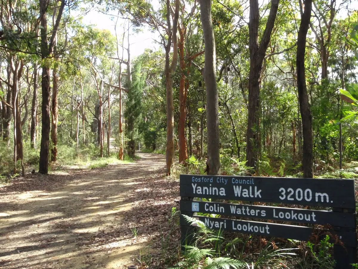
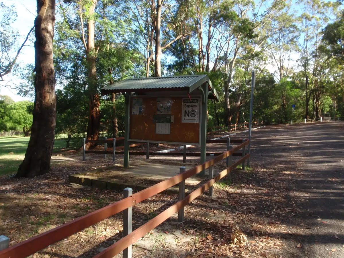
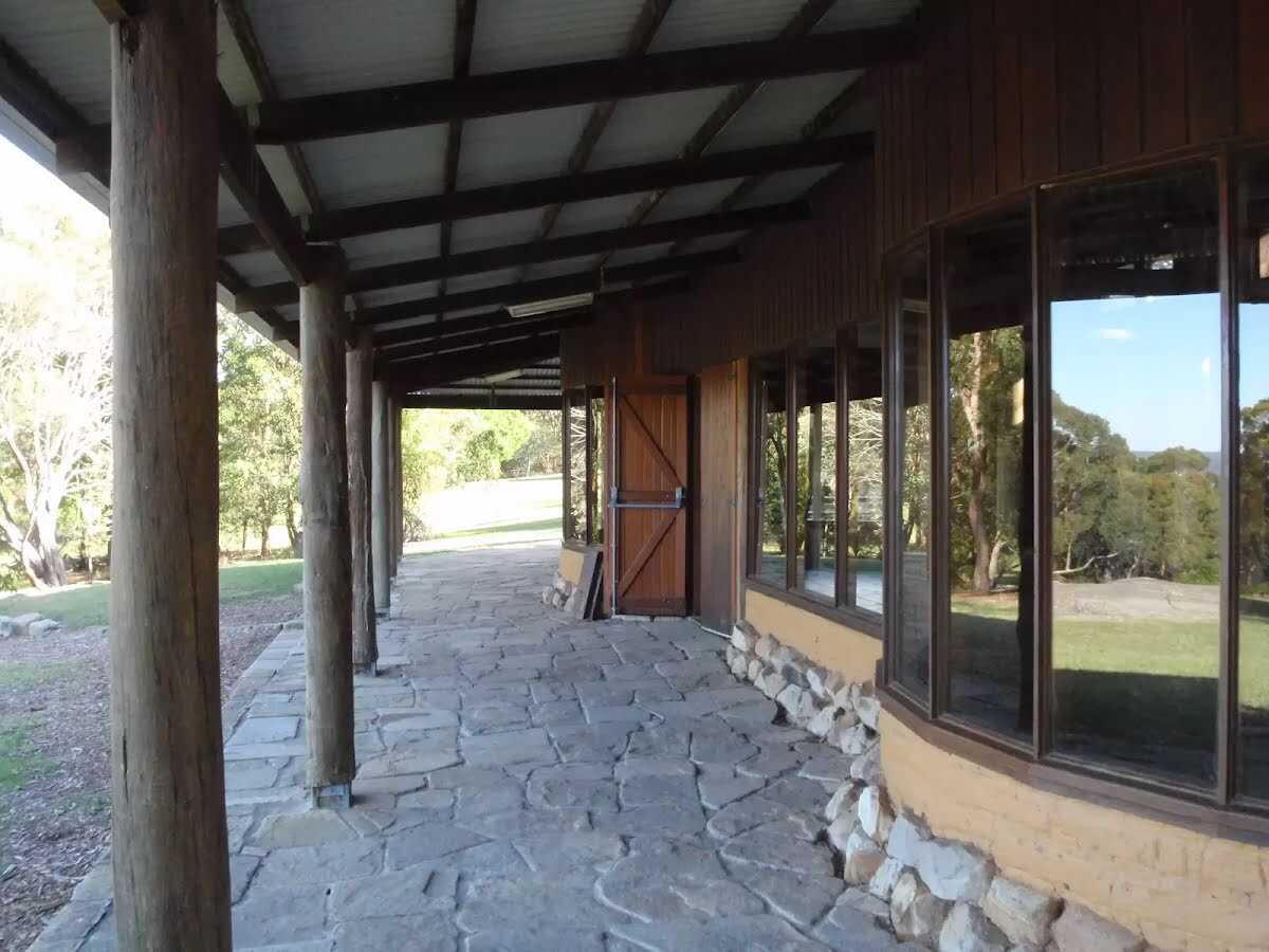
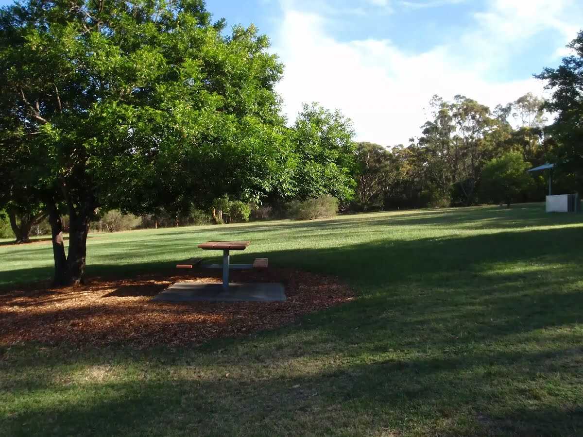
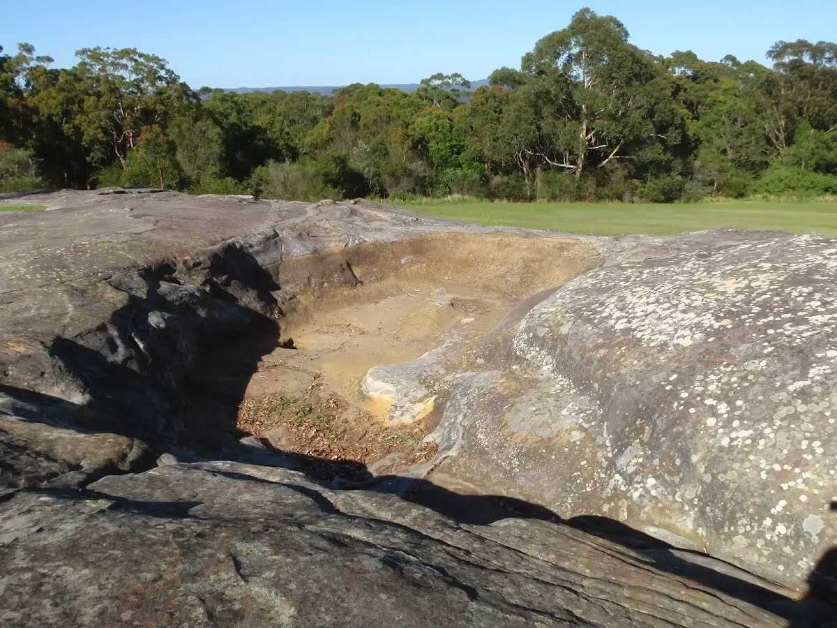
This lovely walk is a great way to explore the bushland at the top of Kincumber Mountain. From near the main picnic area, you follow a clear track before walking along the base of a long rock wall. There are a few sandstone caves, the main one mentioned in the notes is quite large, and a nice cool spot on a hot day. This walk then heads past the cave to loop back to the start via the Yanina Walk management trail. There are good wildflower displays in spring and summer. Let us begin by acknowledging the Darkinjung & Guringai people, Traditional Custodians of the land on which we travel today, and pay our respects to their Elders past and present. 
Show all
Honeman Rock Picnic Area. | Photo by admin, 2009.
View from the Mud Brick Building. | Photo by admin, 2009.
Mud brick building 'kiosk'. | Photo by admin, 2009.
Road next to mud Brick Building. | Photo by admin, 2009.
Start of the Kanning Walk. | Photo by admin, 2009.
Kanning Walk. | Photo by admin, 2009.
Large exposed tree roots. | Photo by admin, 2009.
Old Exposed roots of a tree. | Photo by admin, 2009.
Metal stairs next to rock on Kanning Walk. | Photo by admin, 2009.
Great Rock formations on Kanning Walk. | Photo by admin, 2009.
Smaller cave west of the main cave. | Photo by admin, 2009.
Smaller cave on Kanning Walk. | Photo by admin, 2009.
Walking bellow rock face. | Photo by admin, 2009.
Metal path. | Photo by admin, 2009.
Large Angophra near main cave. | Photo by admin, 2009.
Entrance to cave. | Photo by admin, 2009.
Inside the cave. | Photo by admin, 2009.
Inside looking out of the cave. | Photo by admin, 2009.
Walking track East of the cave on Kanning Walk. | Photo by admin, 2009.
Walking towards Yanina Track on Kanning Walk. | Photo by admin, 2009.
Needlebush (Hakea sericea). | Photo by admin, 2009.
Banksia. | Photo by admin, 2009.
Int of Kanning and Yanina walks. | Photo by admin, 2009.
looking along Kanning walk to Yanina walk. | Photo by admin, 2009.
Fan flower (Scaevola ramosissima). | Photo by admin, 2009.
Walking along the management trail. | Photo by admin, 2009.
Purple Native Orchid. | Photo by admin, 2009.
Termite Mound. | Photo by admin, 2009.
Management trail near main picnic area. | Photo by admin, 2009.
Yanina Walk sign at track head. | Photo by admin, 2009.
BBQ at Honeman's Picnic area. | Photo by admin, 2009.
Carpark and information sign beside picnic area. | Photo by admin, 2009.
Mub brick building. | Photo by admin, 2009.
Map Notes Terrain Reviews Conditions More
Downloads GPX PDF

Some of the information and maps on this page was generated using data from the awesome © OpenStreetMap contributors.
Please see how you can embed some widgets, access data and other stuff to that might be helpful.