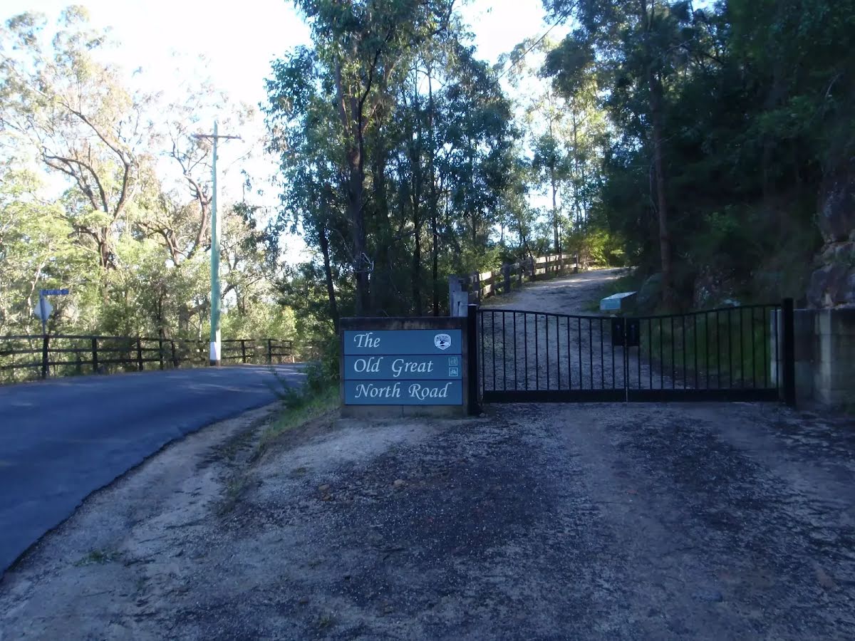


| Start | At the intersection of Settlers Road & Old Great North Road (-33.375215,150.9848525) |
| Mode | Bus Car (There is free parking available.) Special (Wisemans Ferry Dialacar provides a taxi style mini-bus service based in Wisemans Ferry. The cost is typically about $1 per km (ex Wisemans Ferry). They will pick-up and drop-off from Sydney or the Central Coast and will happily drop walkers off or pick them up from tracks in the area. The cost for a pick-up from Gosford and drop off near Wisemans Ferry would be approximately $150 (please call for up-to-date pricing) and the minivan can carry up to 13 passengers. Phone: 0448 122 374) |
| Directions | From Pacific Motorway, M1
|
| Turn map | Directions & comments |
|---|---|
 |
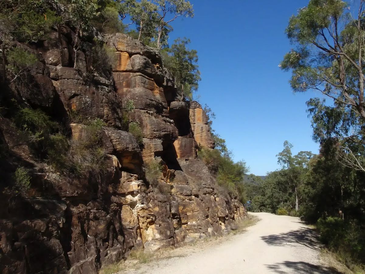
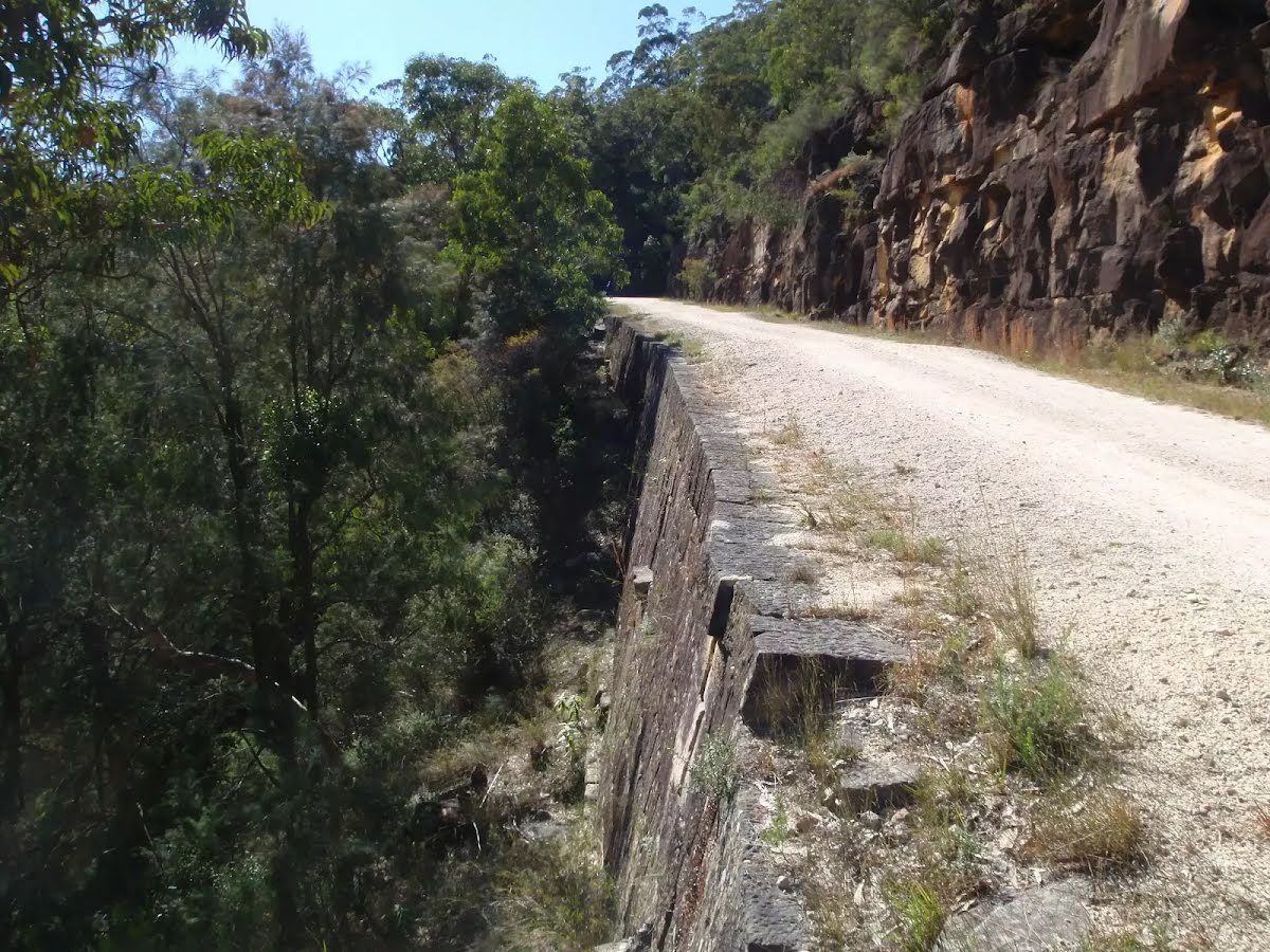
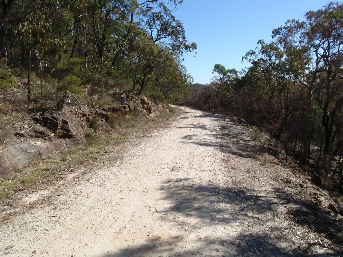
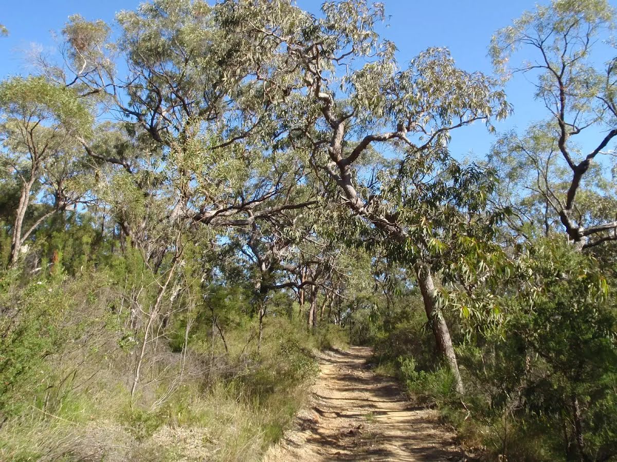
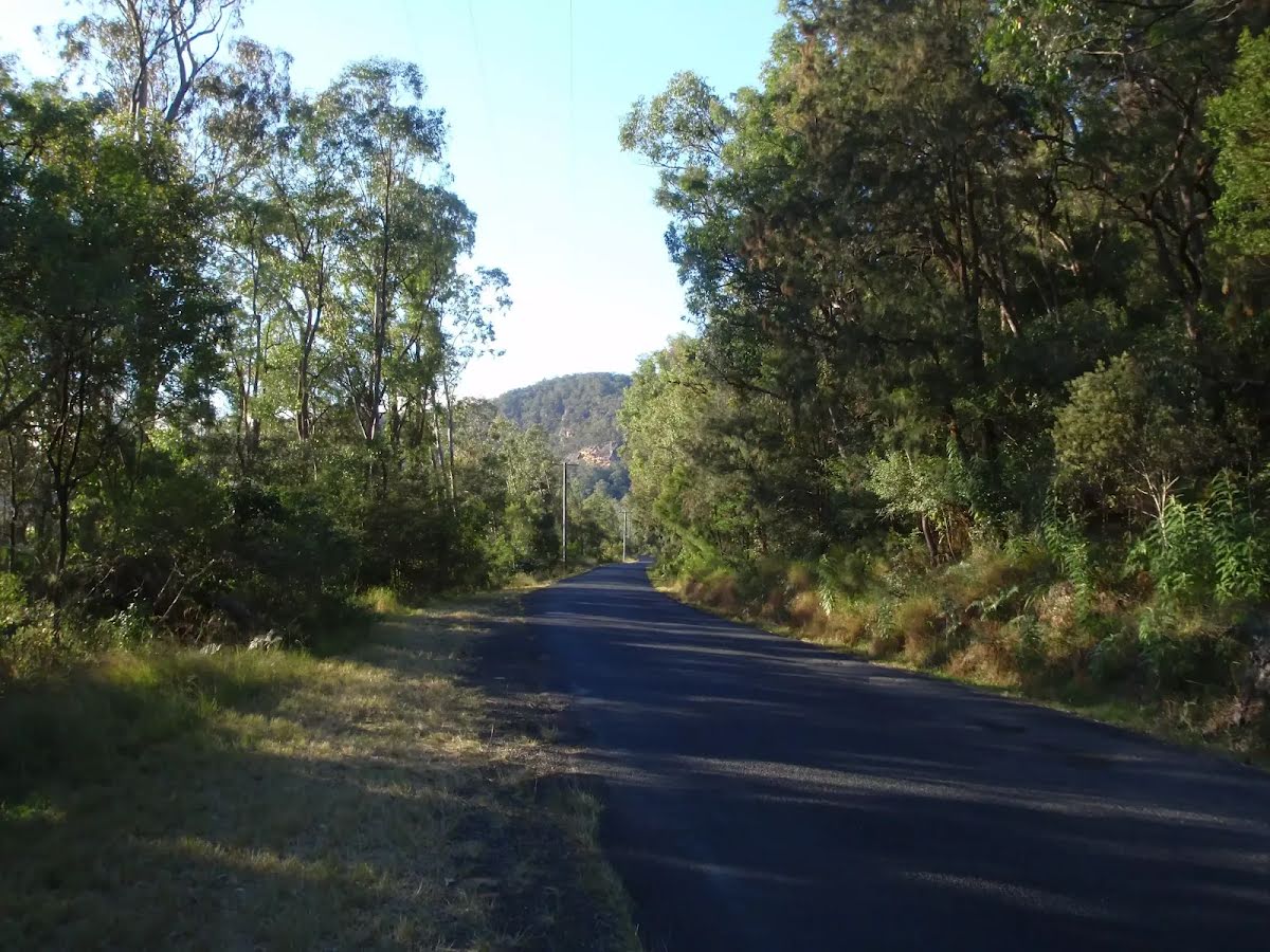
At the intersection of Settlers Road & Old Great North Road Start heading along Old Great North Road (a vehicle track).
|
 |
|
 |
After another 6 m (at the intersection of Old Great North Road & Shepherds Gully Road) veer right, to head along Old Great North Road.
|
 |
|
 |
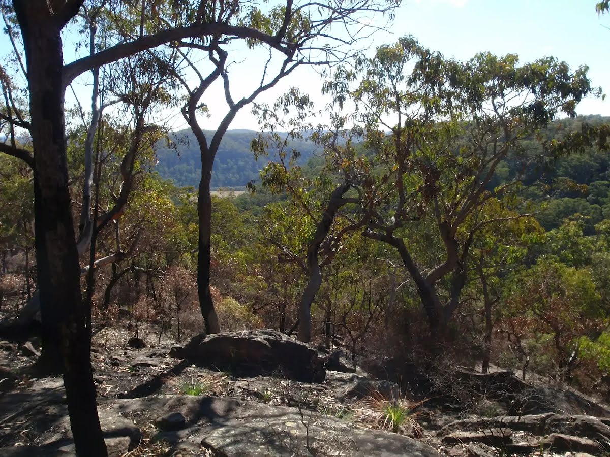
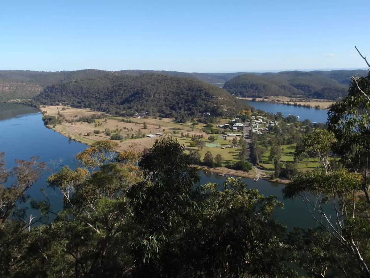
The starting point of an optional sidetrip. An optional side trip to Finchs Line Lookout. To start this optional side trip continue straight here. On returning from this side trip turn right when you get back to this intersection. Details below.
|
 |
|
 |
|
 |
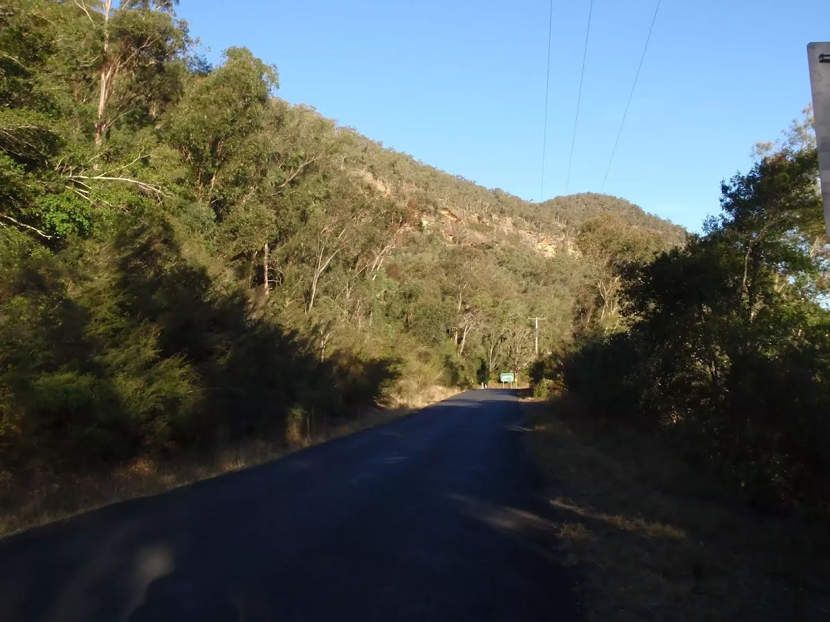
At the intersection of Wisemans Ferry Road & Old Northern Road continue straight, to head along Wisemans Ferry Road.
|
| Turn map | Directions & comments |
|---|---|
 |
|
 |

|
|
Class 3/6 Moderate track |
|---|---|
| Length | 9.9 km |
| Time | 4 h to 4 h 30 min |
| Quality of track | Formed track, with some branches and other obstacles (3/6) |
| Gradient | Short steep hills (3/6) |
| Signage | Directional signs along the way (3/6) |
| Infrastructure | Limited facilities, not all cliffs are fenced (3/6) |
| Experience Required | Some bushwalking experience recommended (3/6) |
| Weather | Weather generally has little impact on safety (1/6) |
| Item | From Start | Name & link to notes |
|---|---|---|
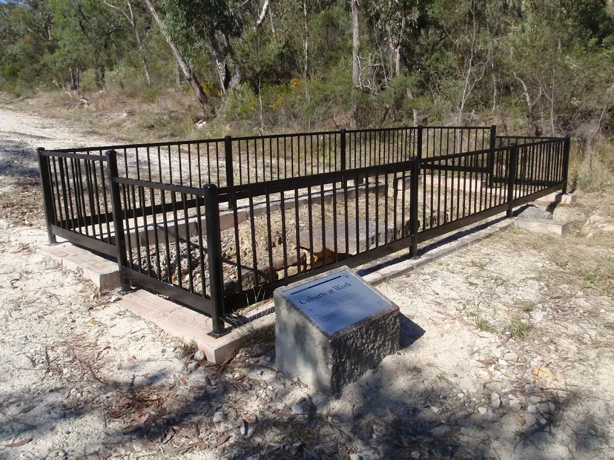
Toilet
| 9.3 km | [toilet] |