


| Start | From the Campbell Drive (-33.1954093,151.6016268) |
| Mode | Car (A park entry fee is required for driving into the park.) |
| Directions | From Pacific Motorway Onramp
|
| Finish | (-33.1862367,151.6279294) |
| Mode (end) | Car Shuttle Car (A park entry fee is required for driving into the park.) |
| Turn map | Directions & comments |
|---|---|
 |
|
 |
|
 |
|
 |
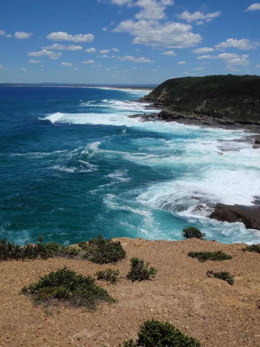
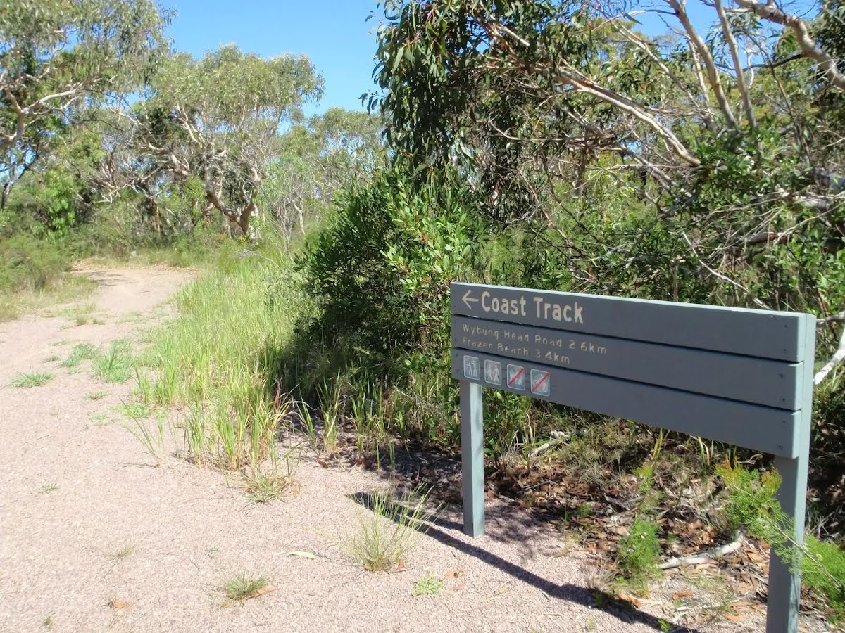
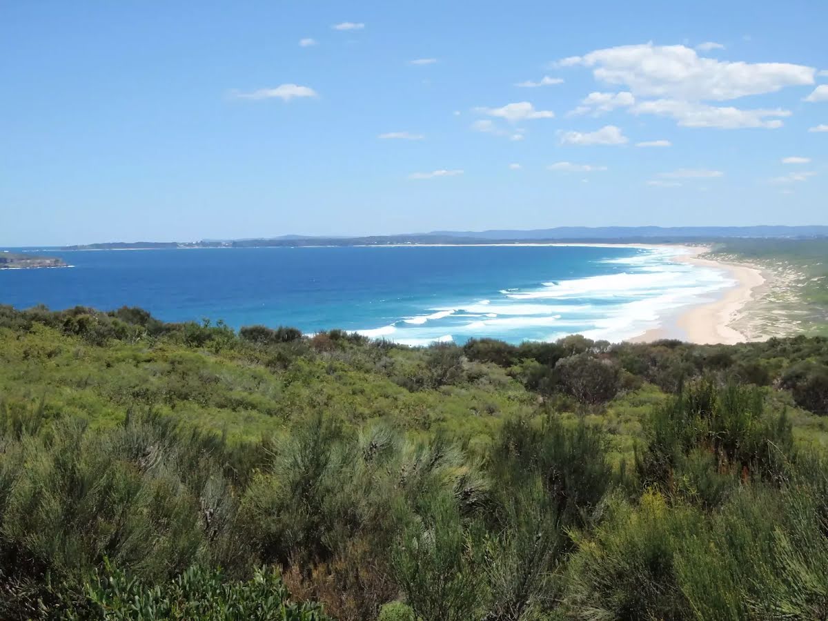
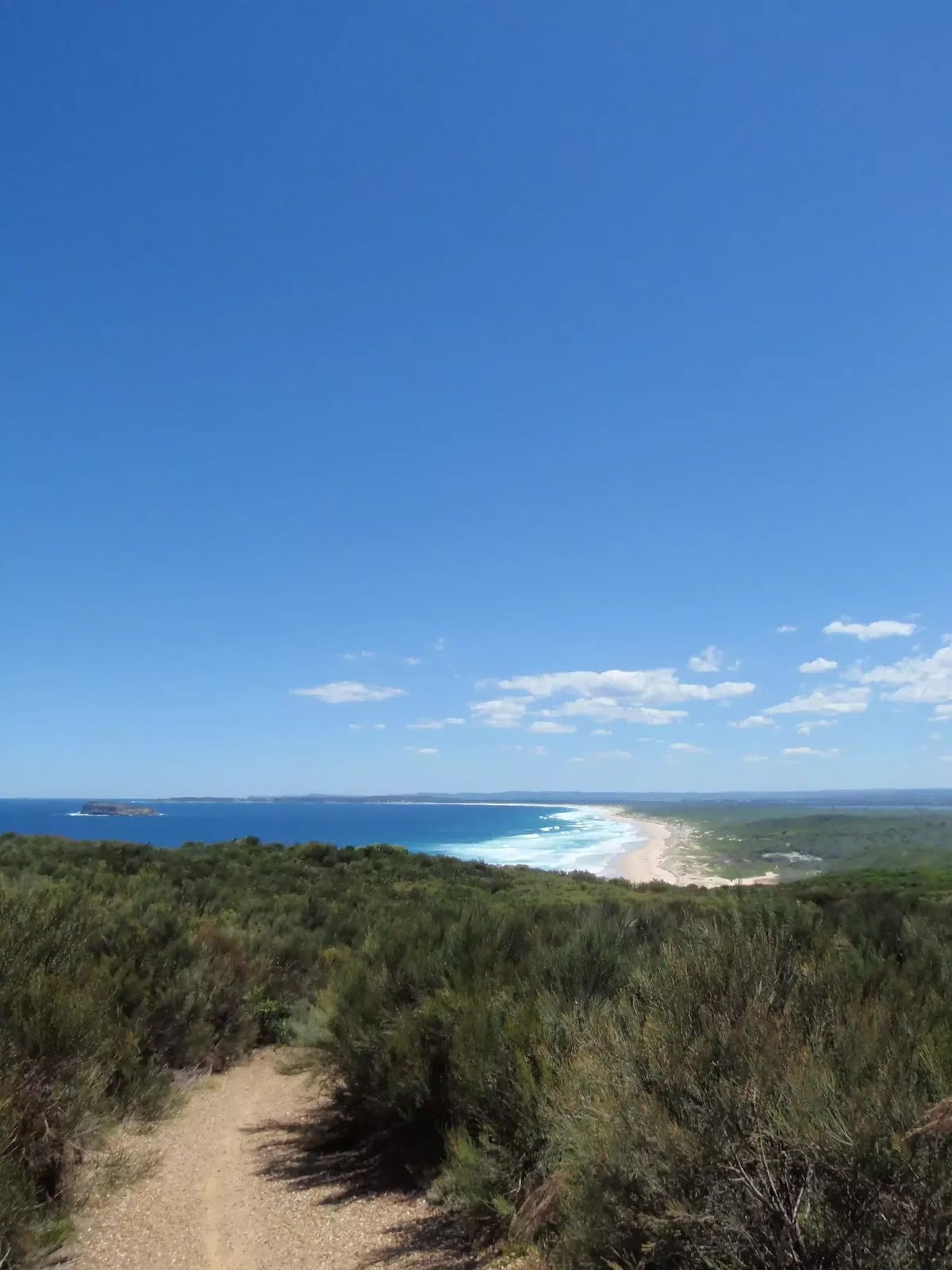
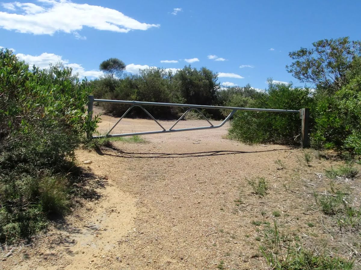
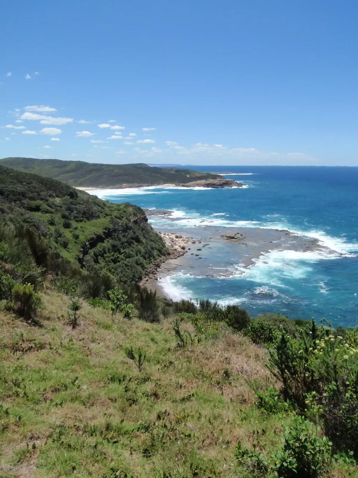
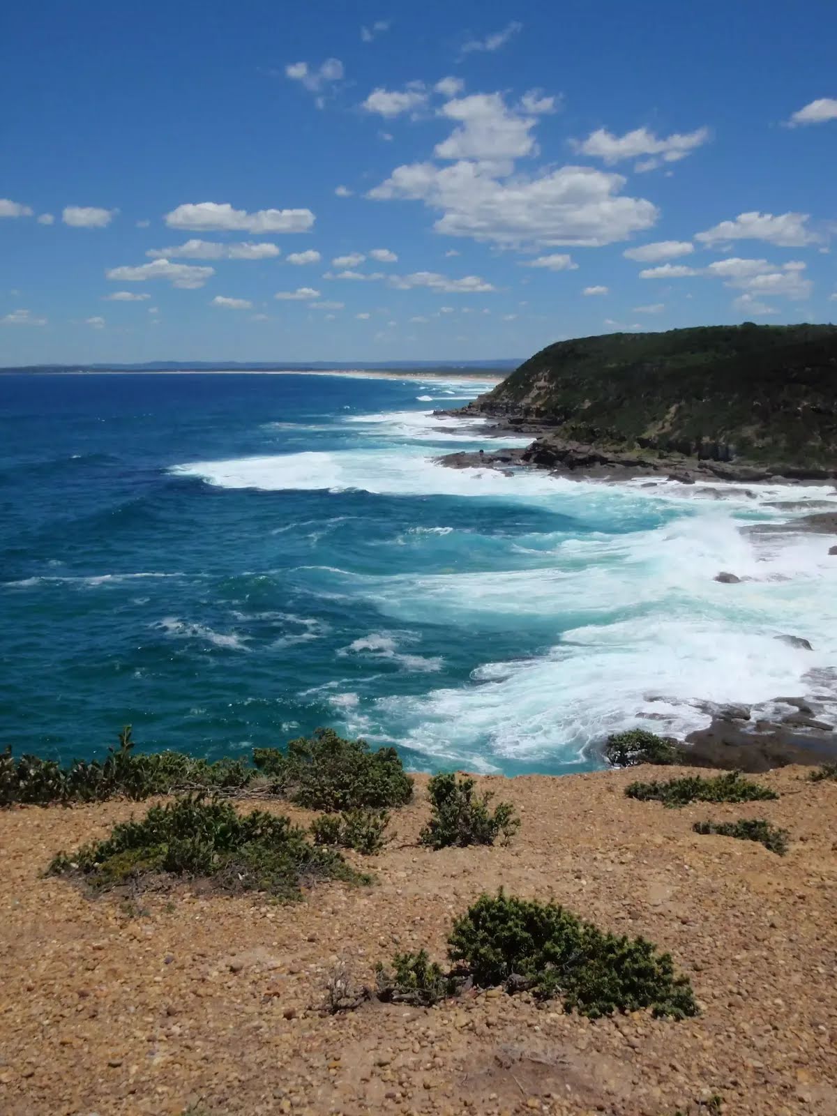
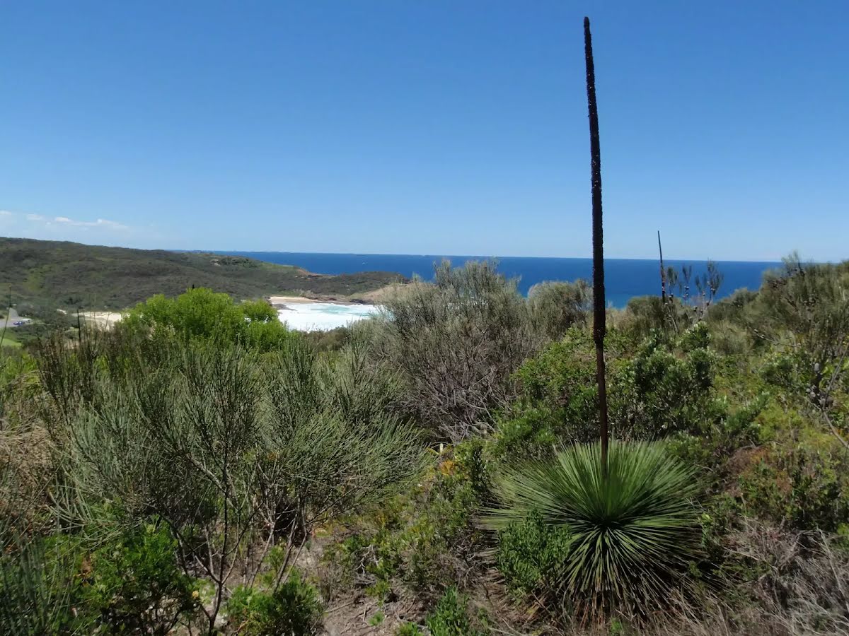
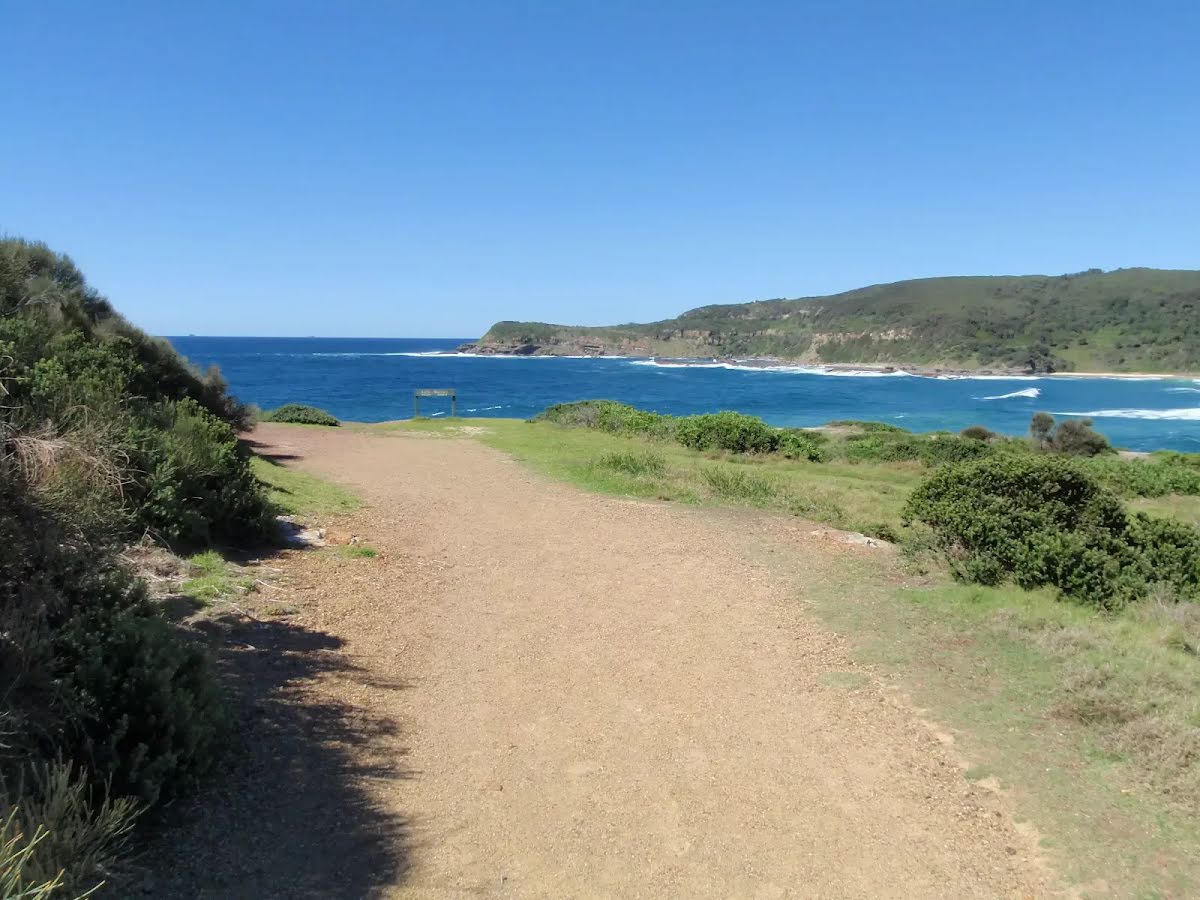
The starting point of an optional sidetrip. An optional side trip to Tip of Wybung Head. To start this optional side trip continue straight here. On returning from this side trip turn right when you get back to this intersection. Details below.
|
 |
|
 |
|
 |
|
 |
|
 |
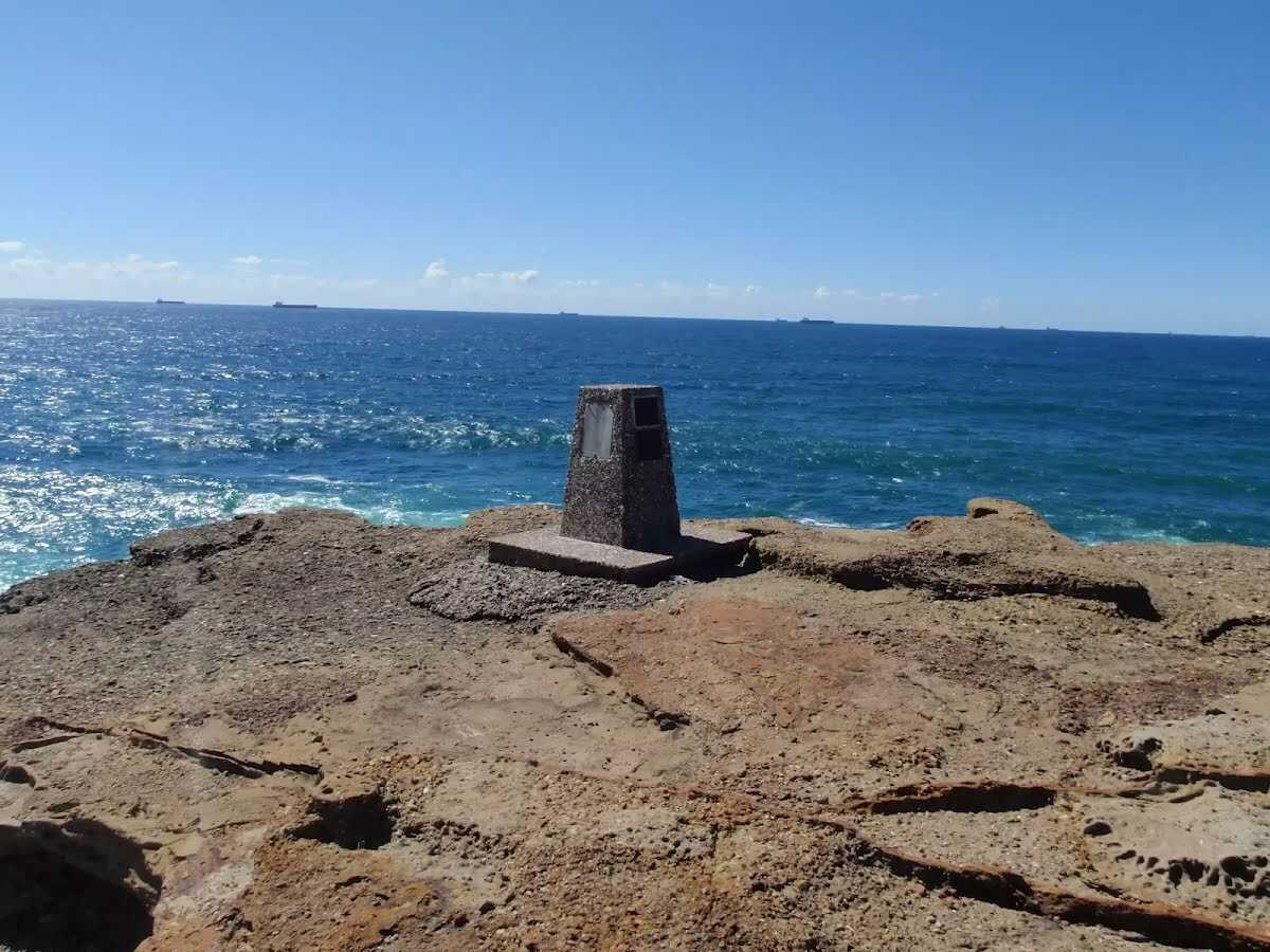
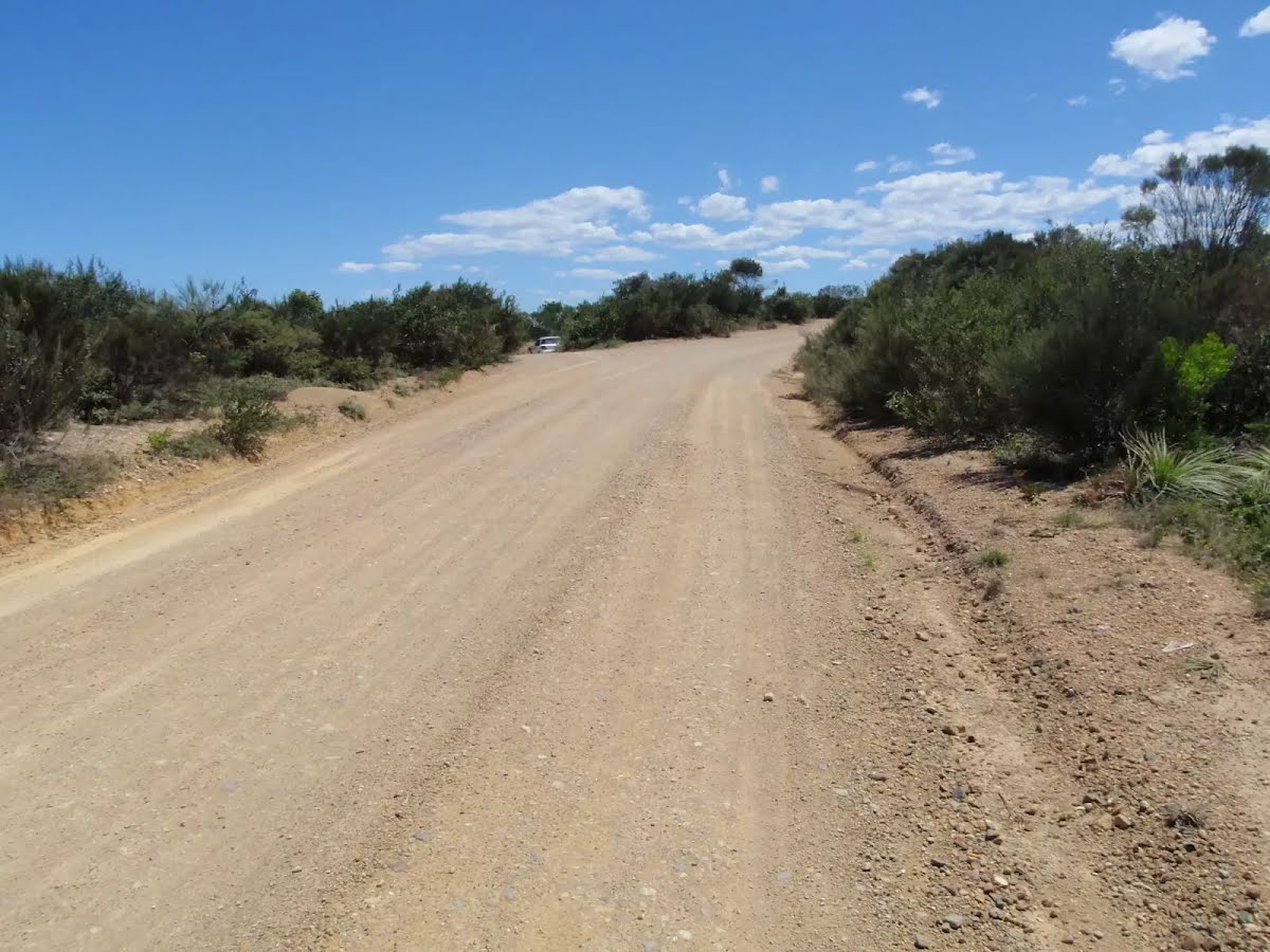
The starting point of an optional sidetrip. An optional side trip to Snapper Point Memorial. To start this optional side trip turn sharp right here. On returning from this side trip continue straight when you get back to this intersection. Details below.
|
 |
|
 |
|
 |
|

|
|
Class 5/6 Very challenging |
|---|---|
| Length | 4.2 km |
| Time | 1 h 30 min to 1 h 45 min |
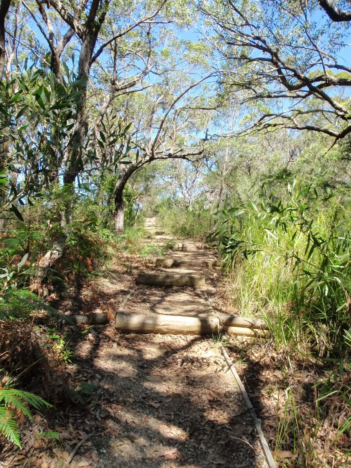
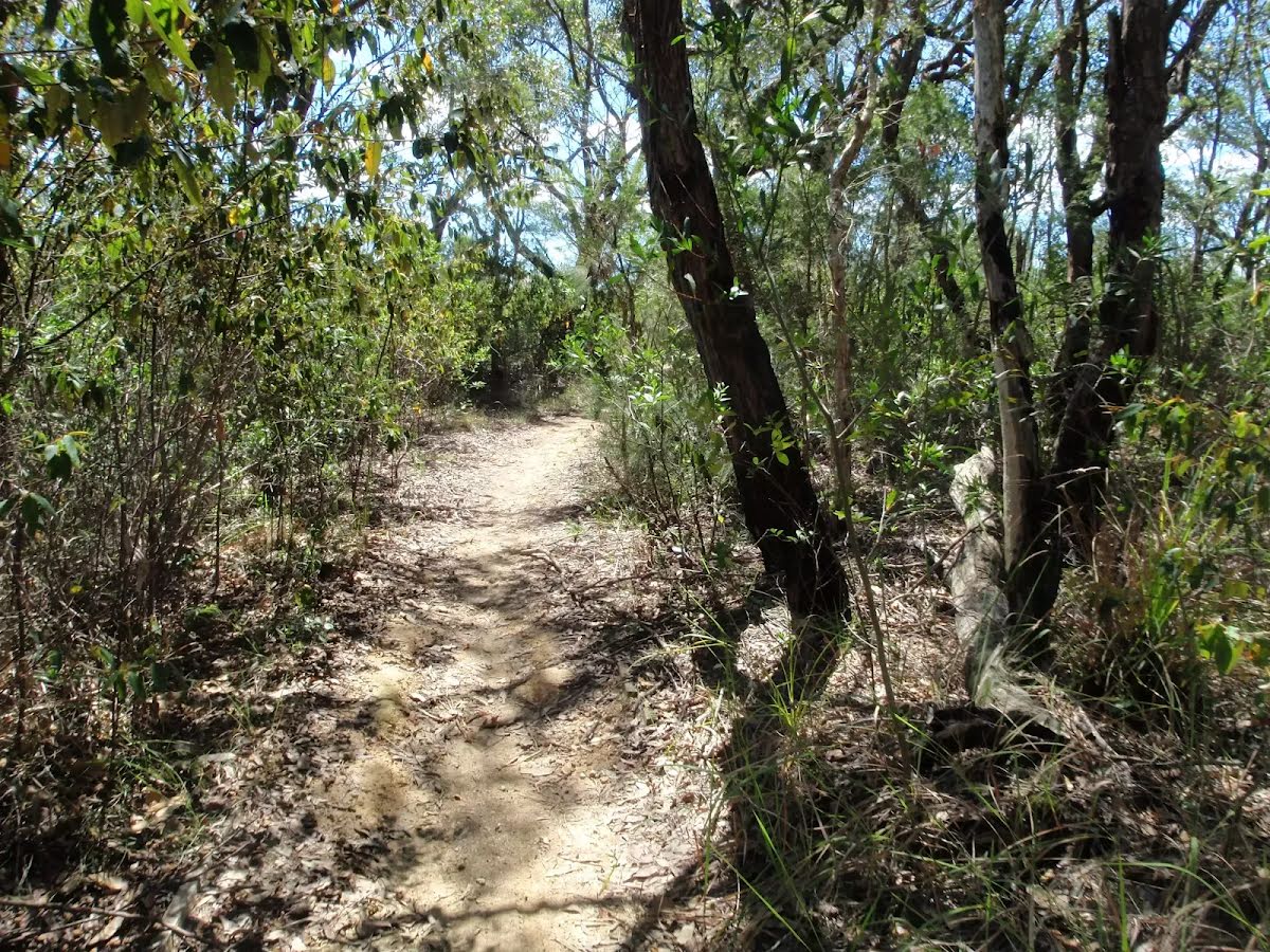
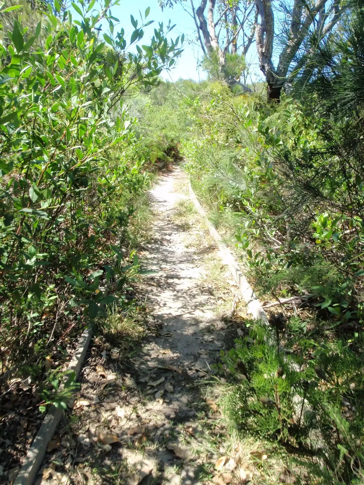
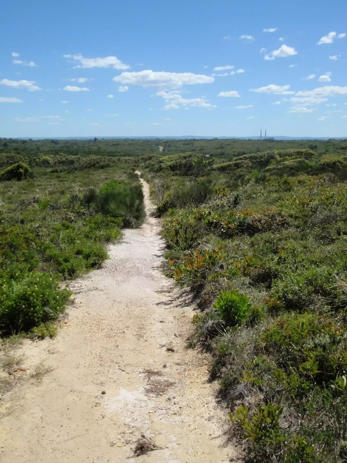
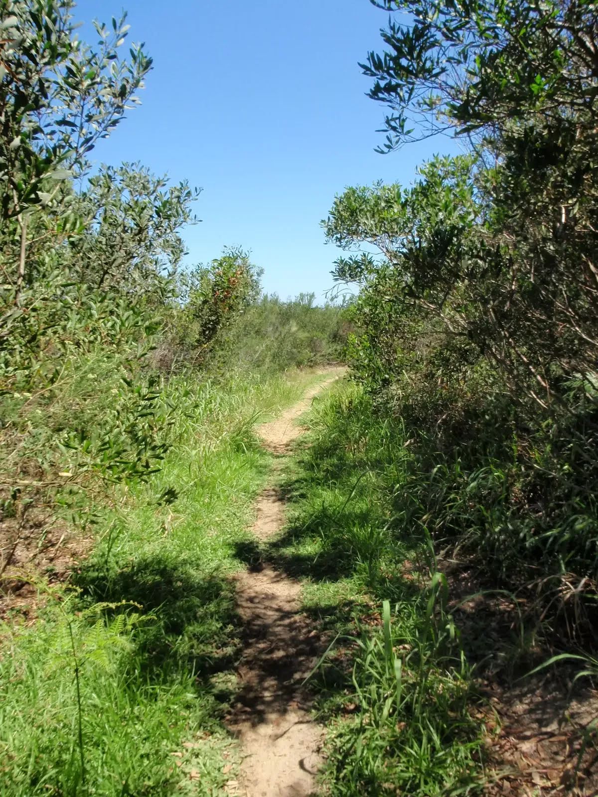
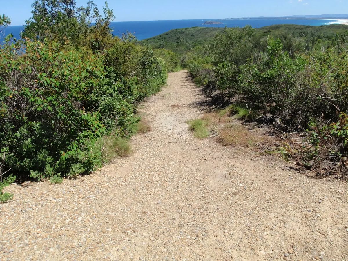
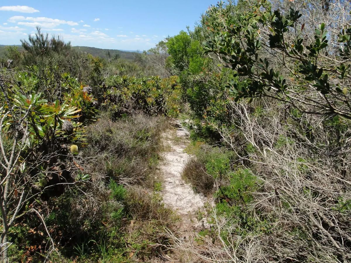
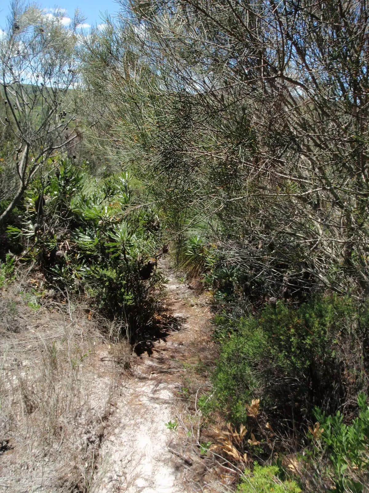
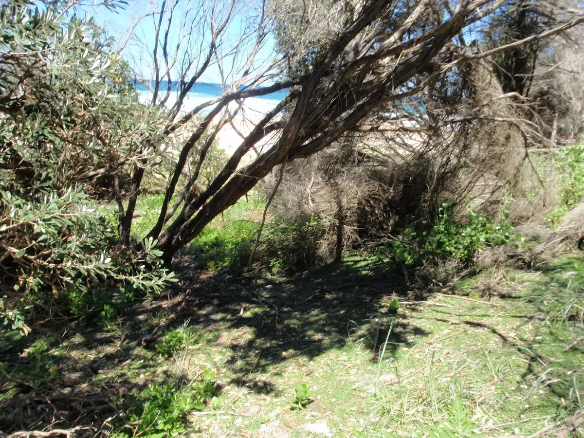
| Quality of track | Rough unclear track (5/6) |
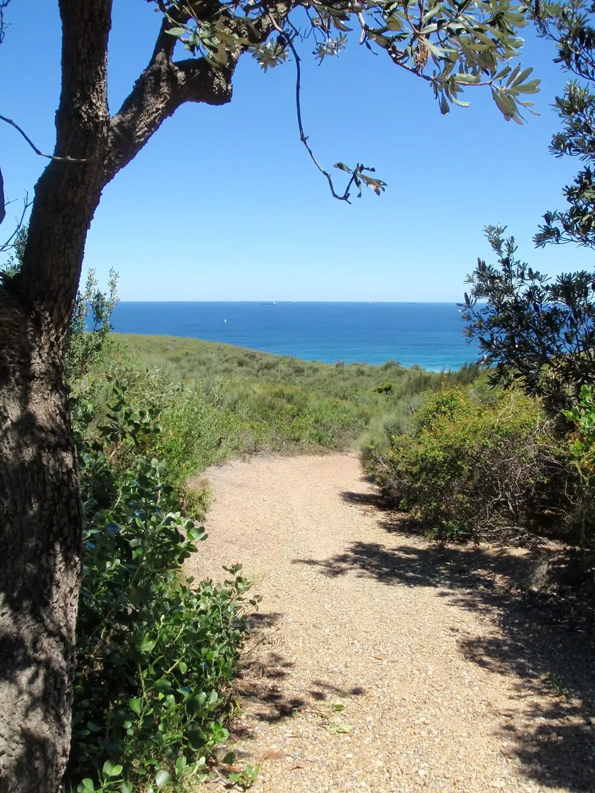
| Gradient | Short steep hills (3/6) |
| Signage | No directional signs (5/6) |
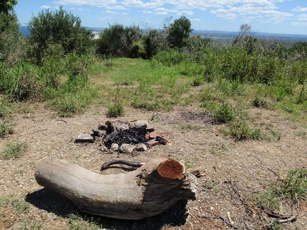
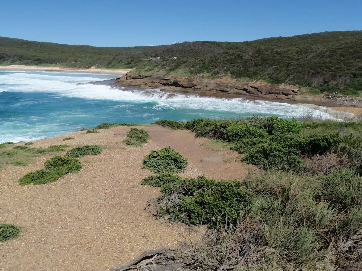
| Infrastructure | Limited facilities, not all cliffs are fenced (3/6) |
| Experience Required | High level of bushwalking experience recommended (5/6) |
| Weather | Forecasted & unexpected severe weather likely to have an impact on your navigation and safety (5/6) |
| Item | From Start | Name & link to notes |
|---|---|---|
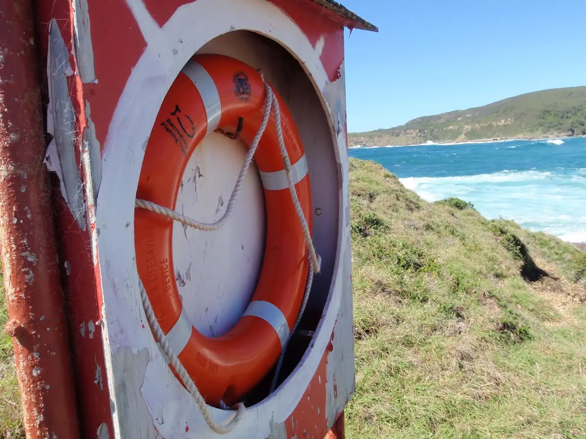
Toilet
| 3.4 km | [toilet] |
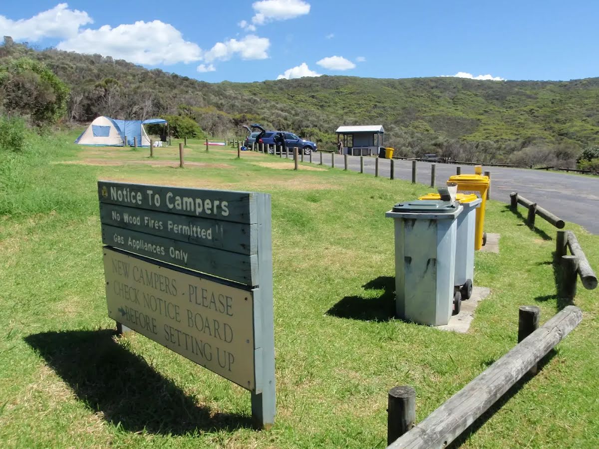
Camp site
| 3.4 km | Frazer Beach campsite |