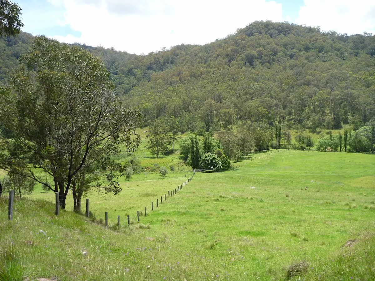
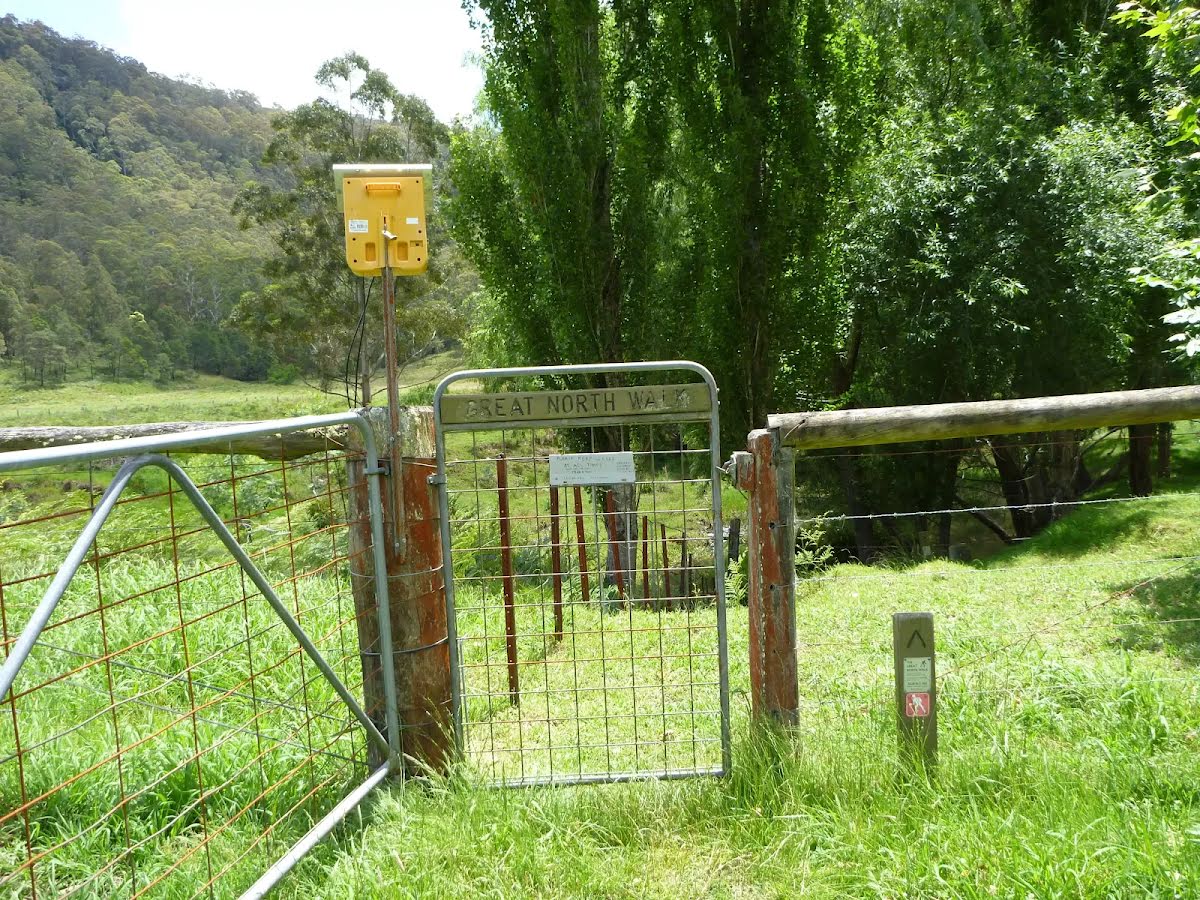


| Full Journey | Great North Walk |
| Start | From the Watagan Creek Road (near the Mt Warrawolong Campsite camp_site) (-33.0284246,151.2734063) |
| Mode | Car (There is free parking available.) |
| Directions | From Pacific Motorway, M1
|
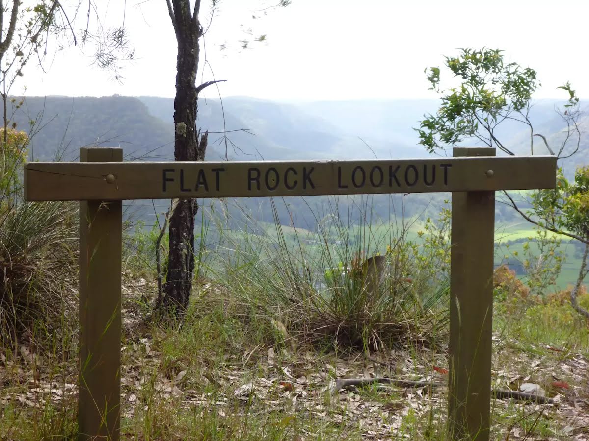
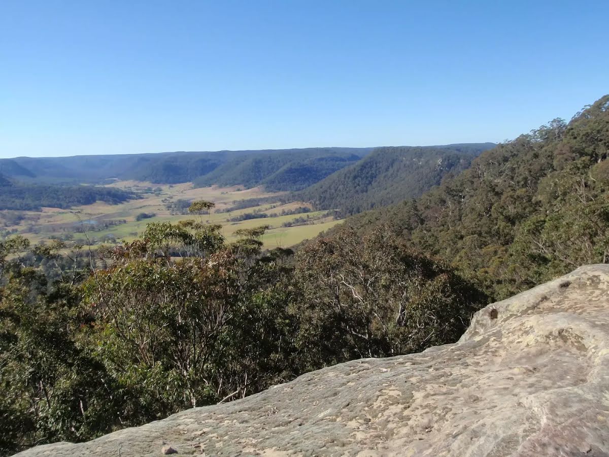
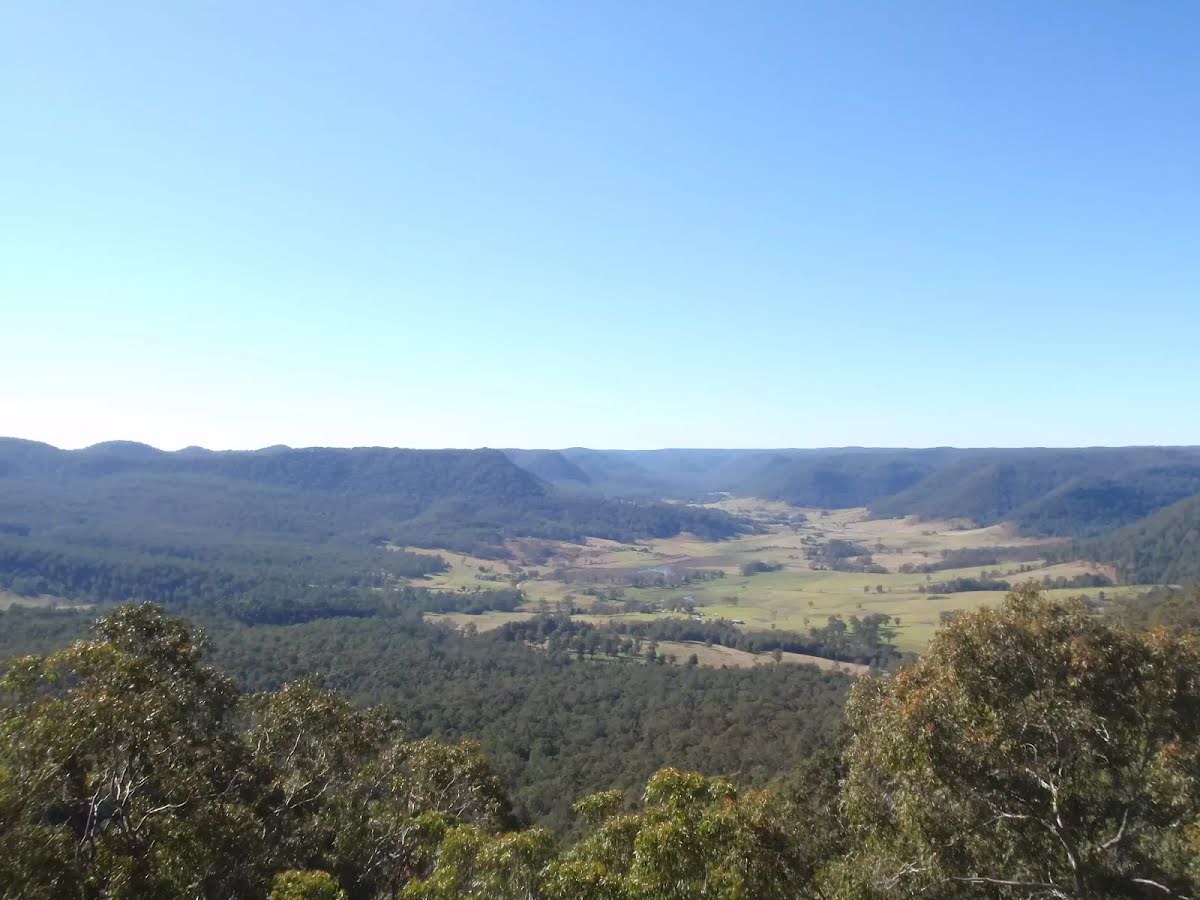
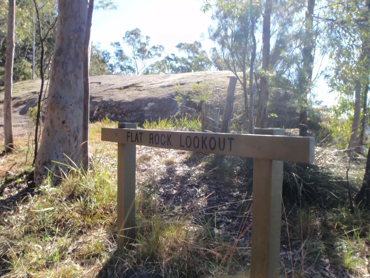
| Finish | Flat Rock Lookout (-33.0032757,151.2720173) |
| Mode (end) | Car Shuttle Car (There is free parking available.) |

|
|
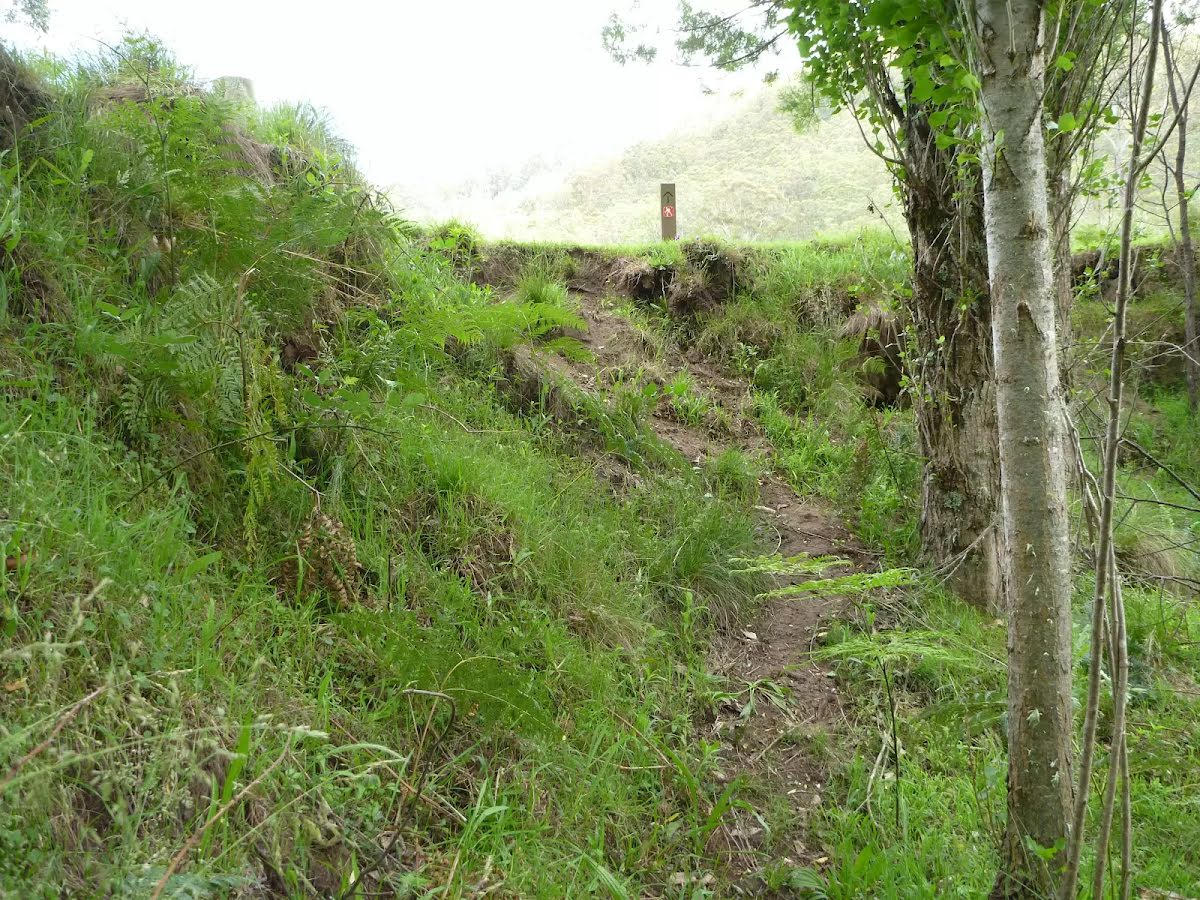
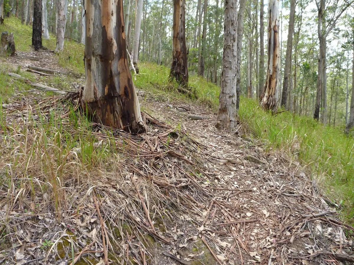
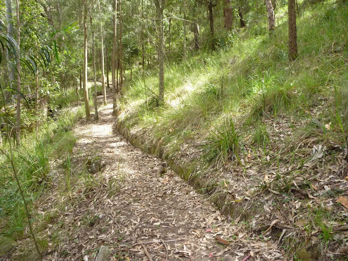
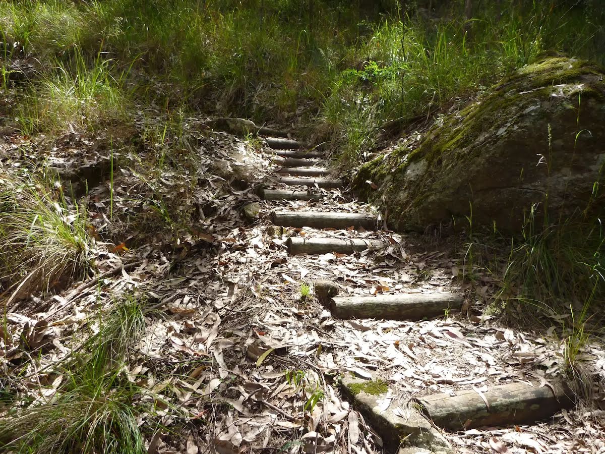
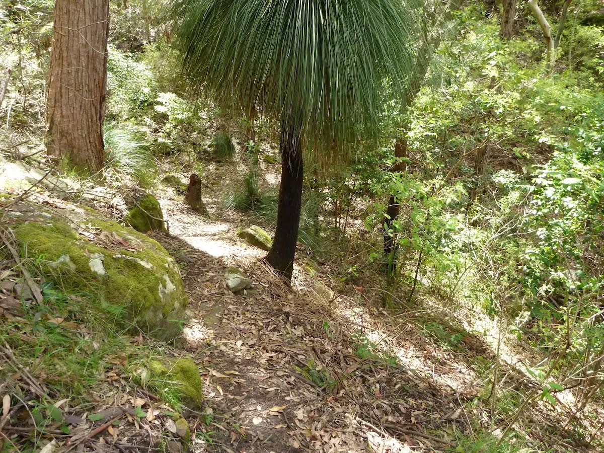
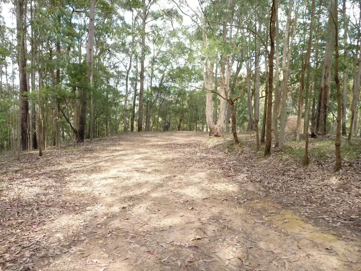
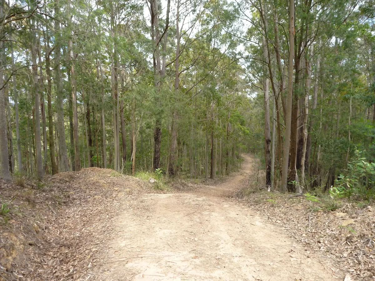
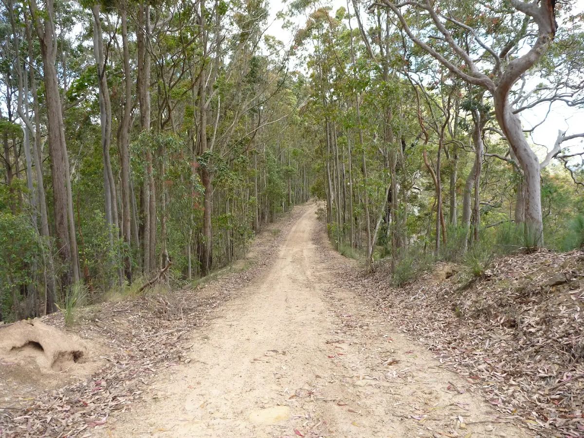
Class 4/6 Hard track |
|---|---|
| Length | 3.8 km |
| Time | 1 h 45 min to 2 h |
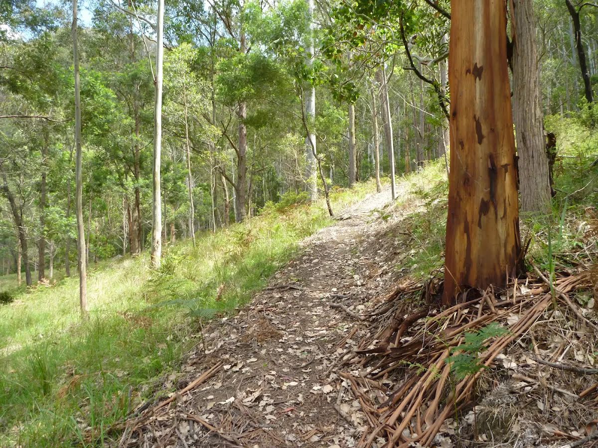
| Quality of track | Rough track, where fallen trees and other obstacles are likely (4/6) |
| Gradient | Very steep (4/6) |
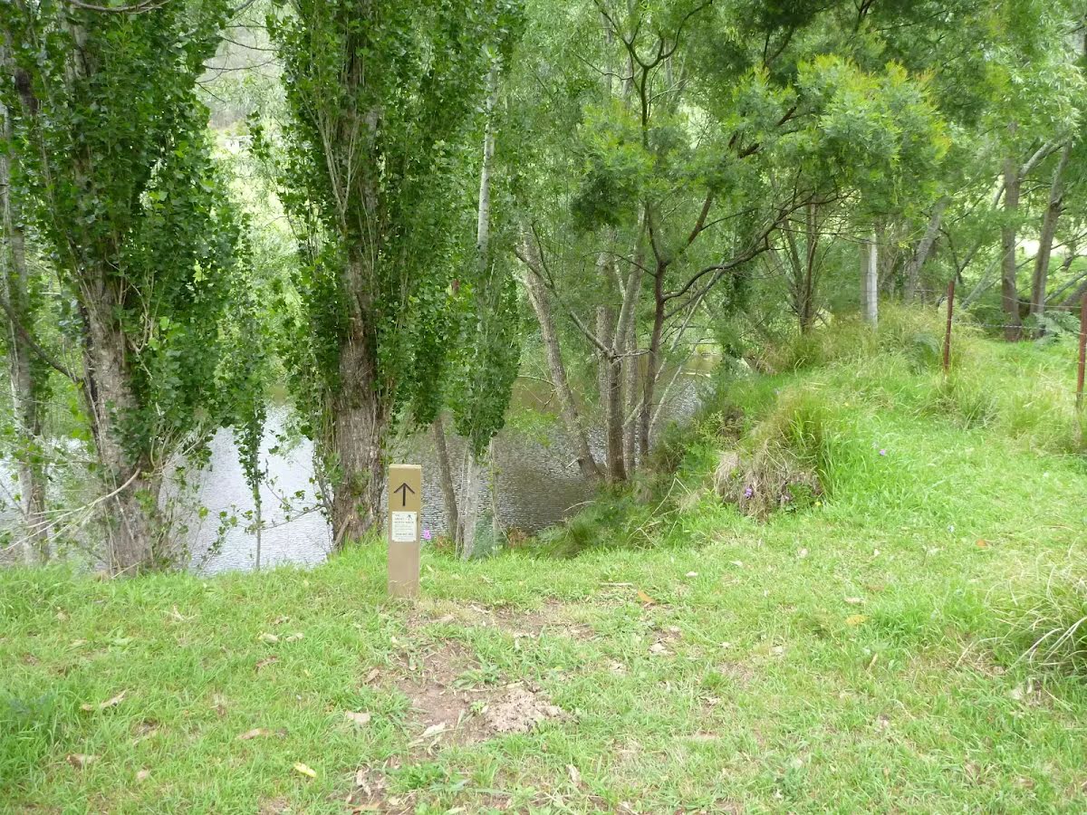
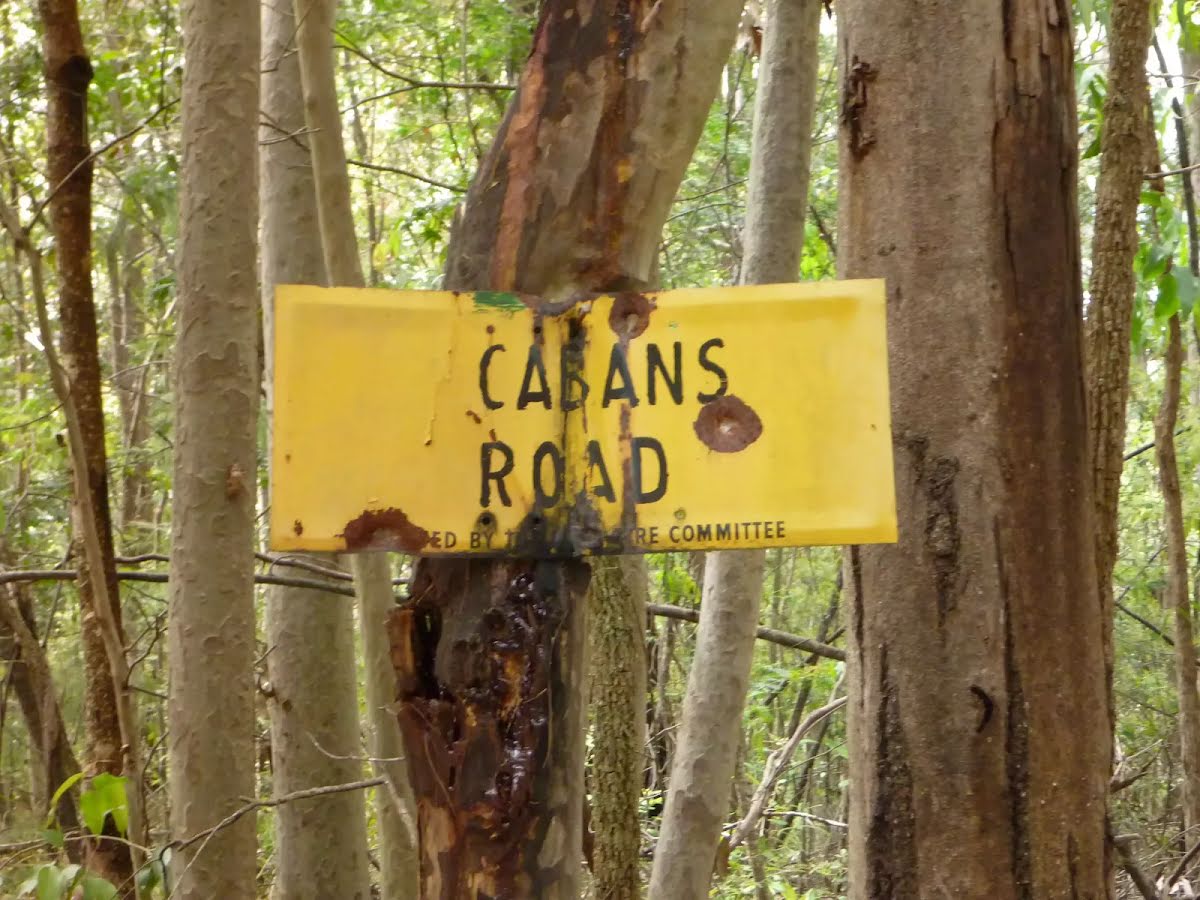
| Signage | Directional signs along the way (3/6) |
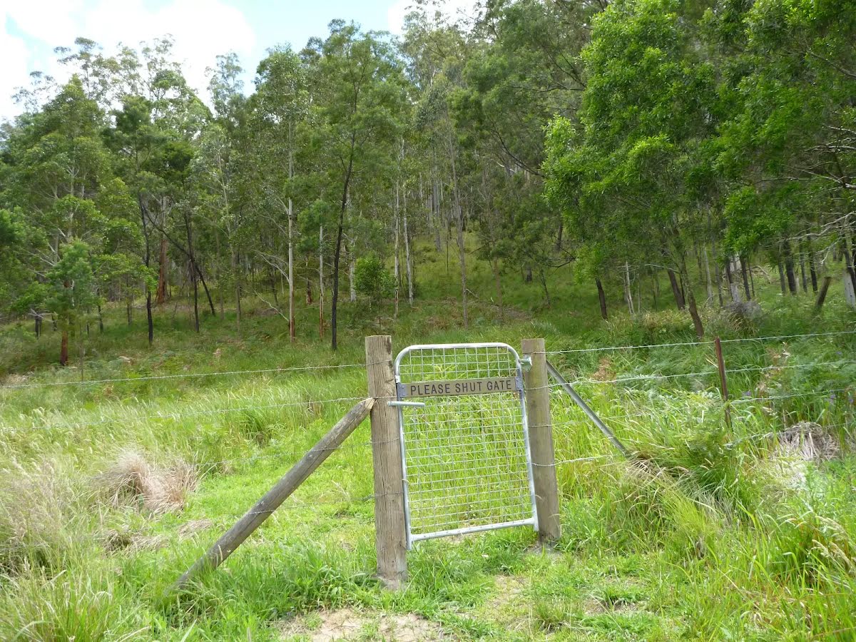
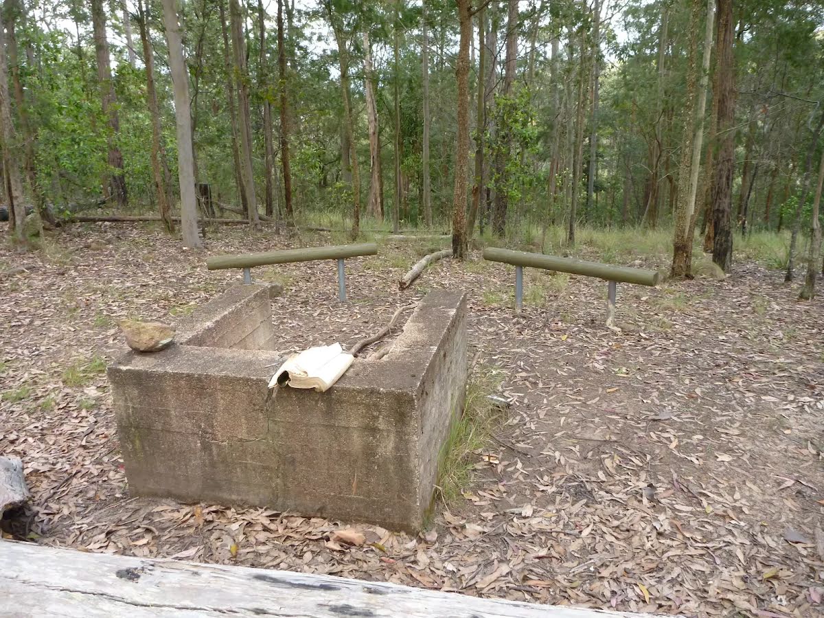
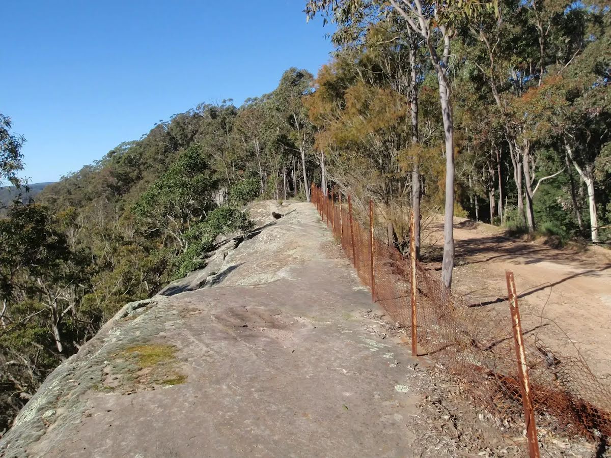
| Infrastructure | Limited facilities, not all cliffs are fenced (3/6) |
| Experience Required | Some bushwalking experience recommended (3/6) |
| Weather | Foretasted & unexpected storms and severe weather may impact on navigation and safety (4/6) |
| Item | From Start | Name & link to notes |
|---|---|---|
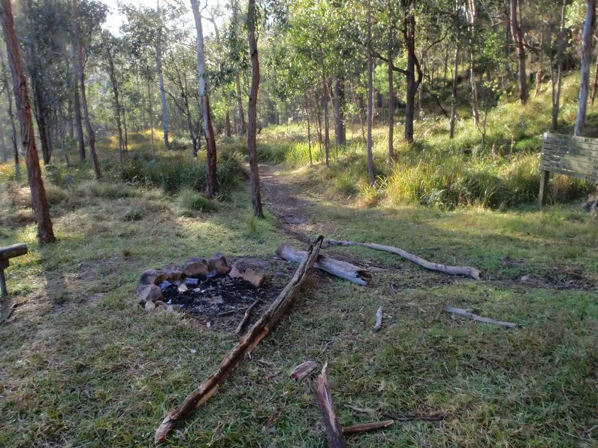
Campsite
| -132 m | Watagan Creek Campsite |
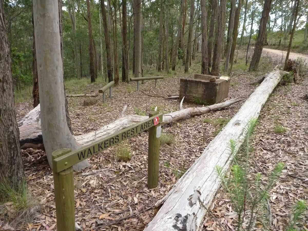
Seat
| 3.5 km | [seat] |
Campsite
| 3.6 km | Great North Walk Campsite |