


| Start | (-33.3732941,151.3225838) |
| Mode | Car (There is free parking available.) |
| Directions | From Wisemans Ferry Road Offramp
|

|
|
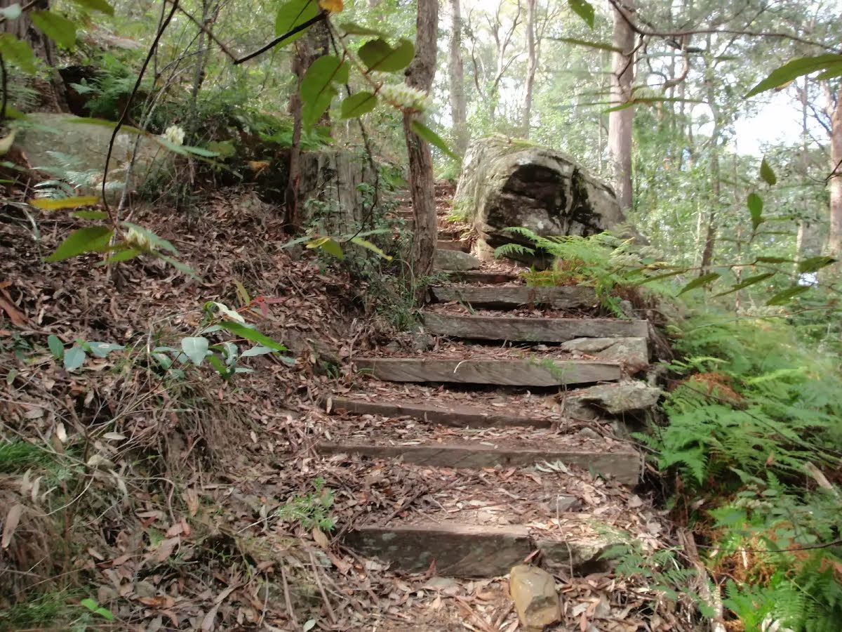
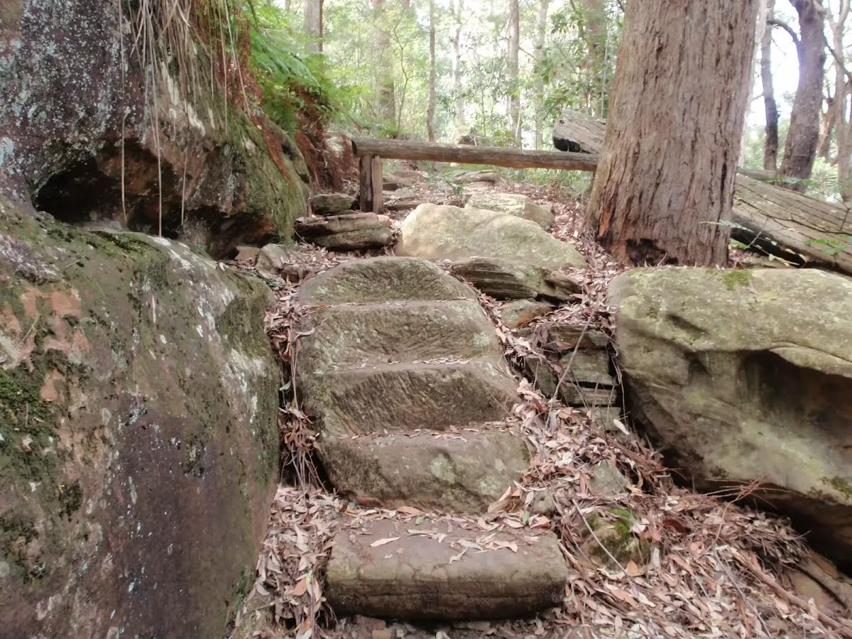
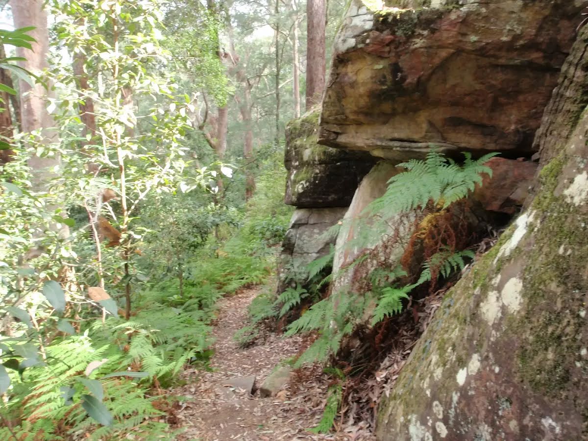
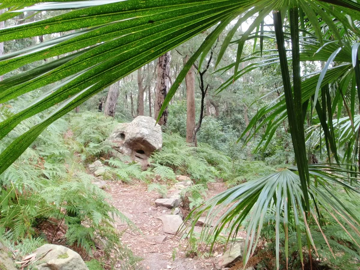
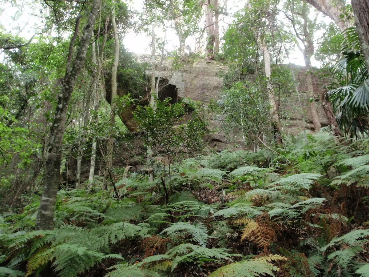
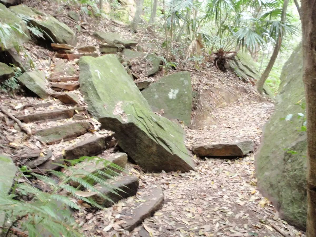
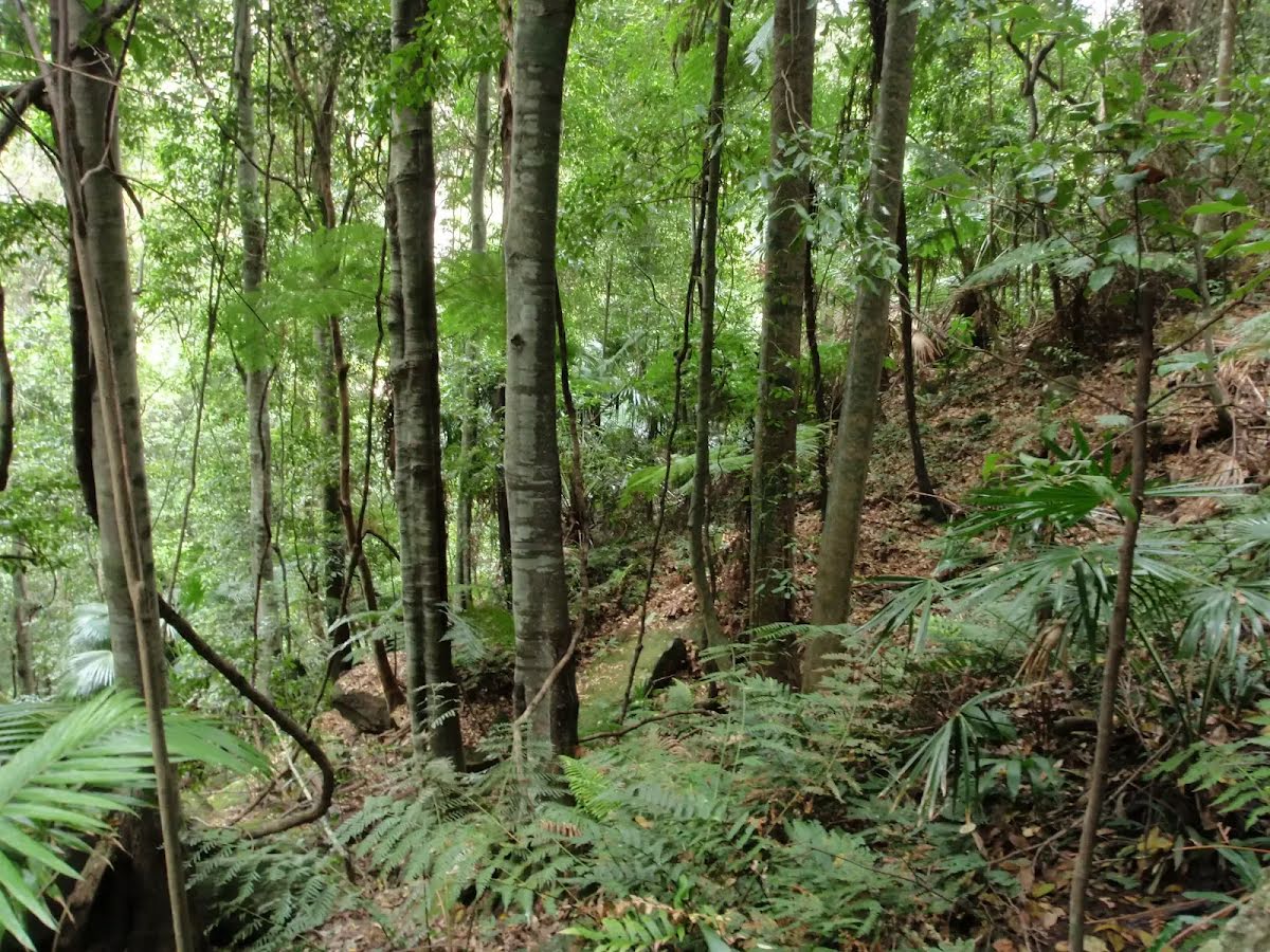
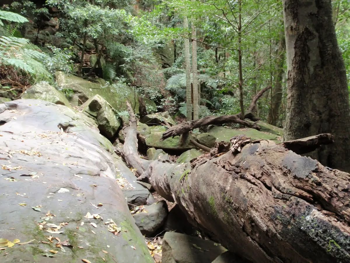
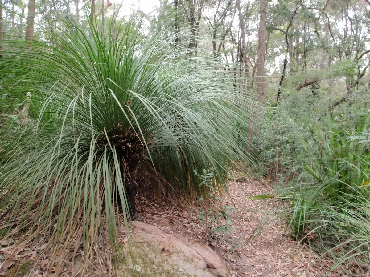
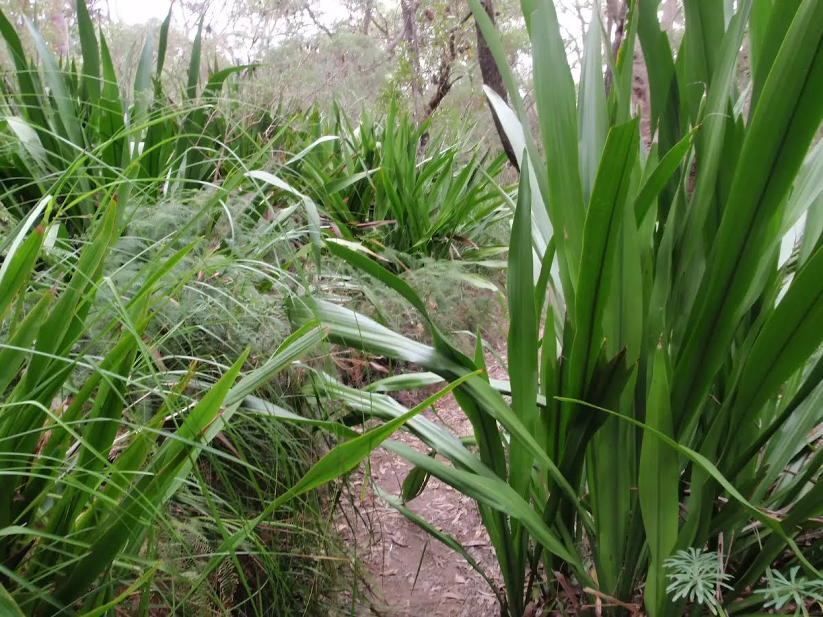
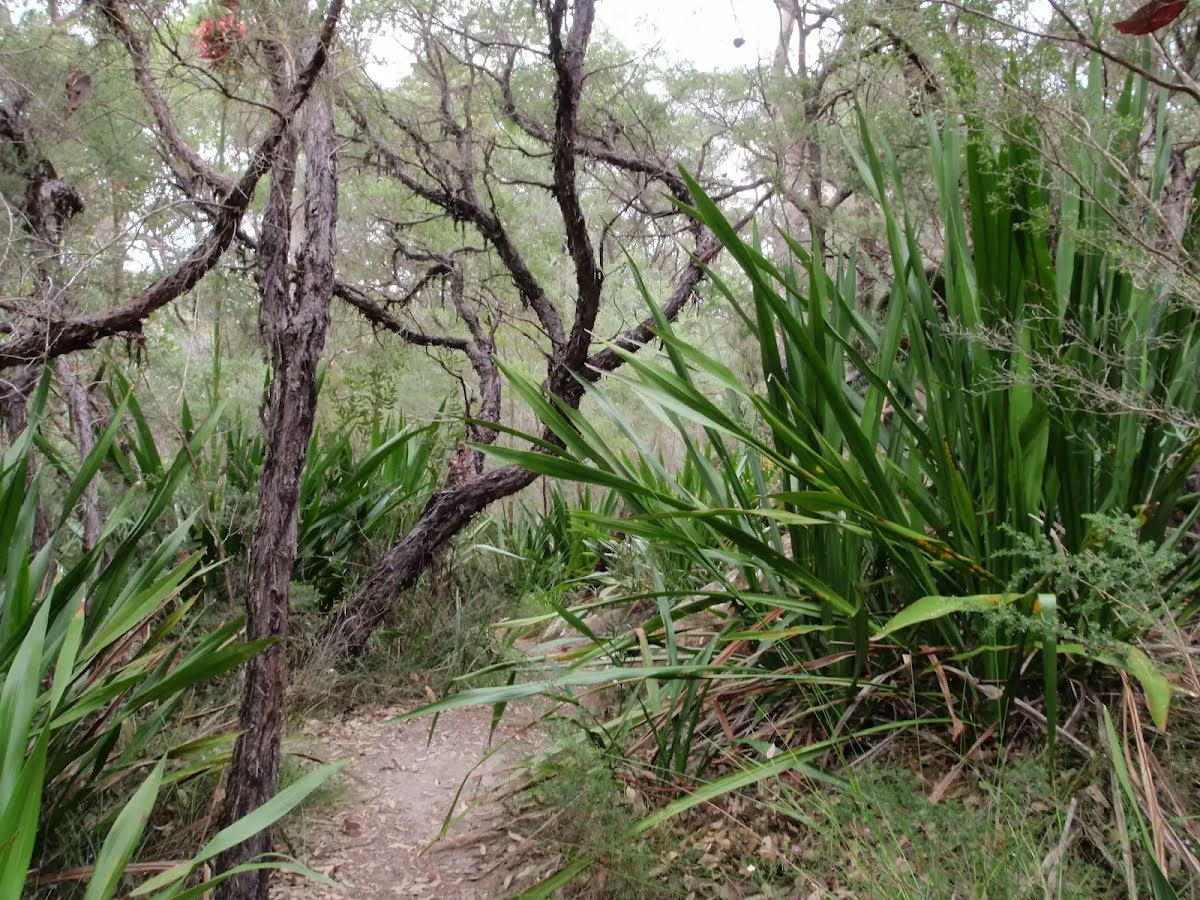
Class 3/6 Moderate track |
|---|---|
| Length | 1.8 km |
| Time | 50 min to 1 h |
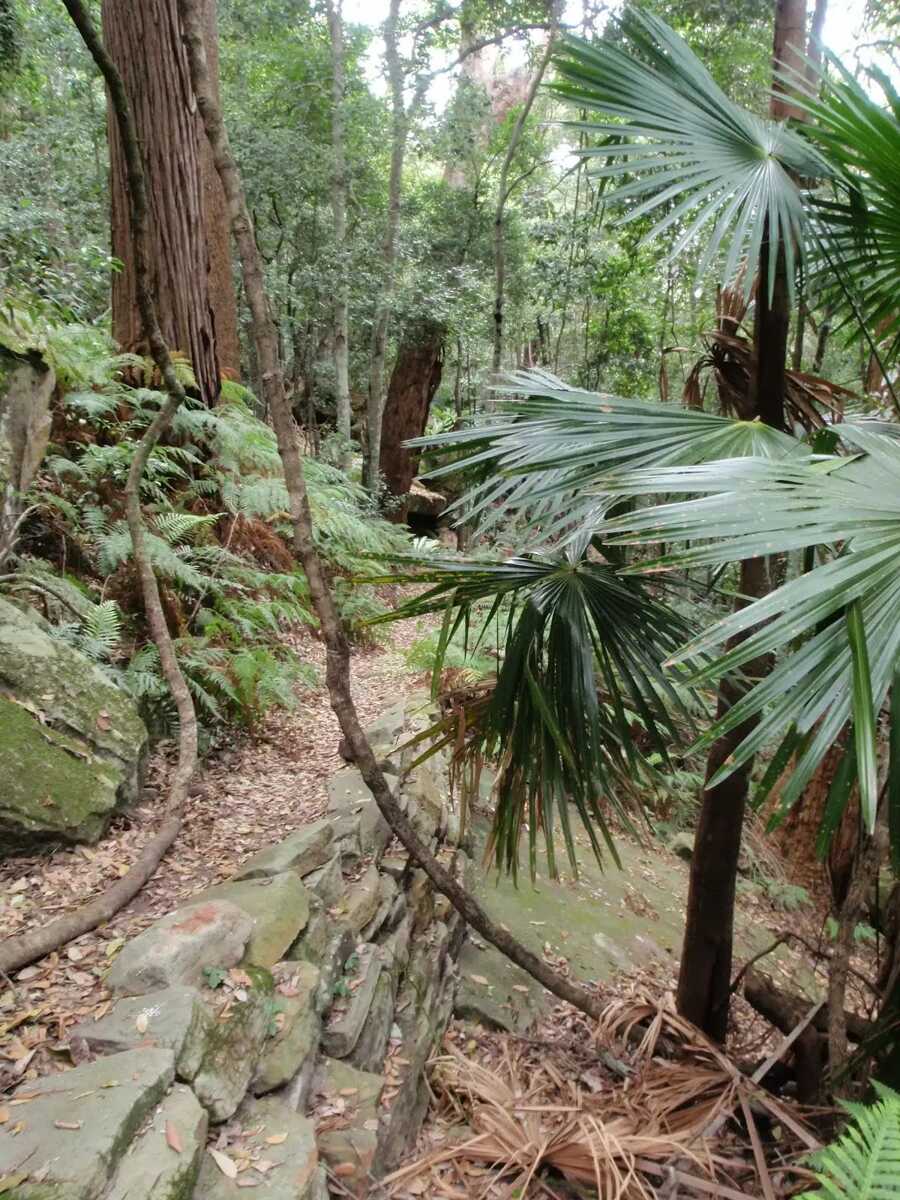
| Quality of track | Formed track, with some branches and other obstacles (3/6) |
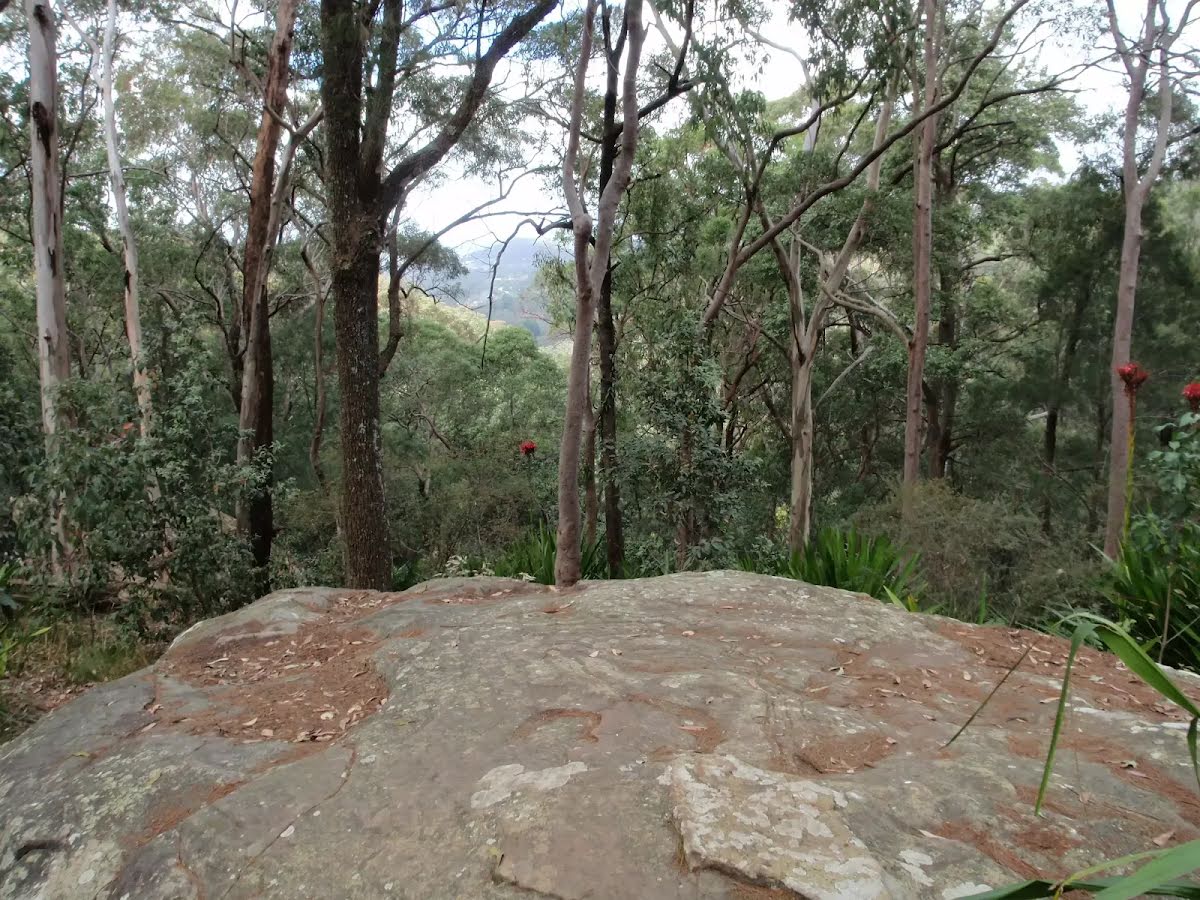
| Gradient | Short steep hills (3/6) |
| Signage | Directional signs along the way (3/6) |
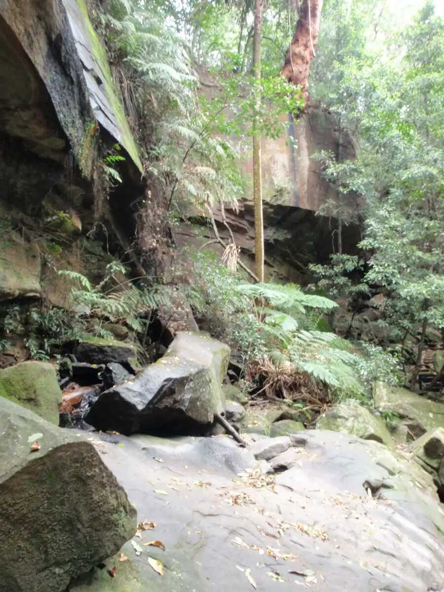
| Infrastructure | Limited facilities, not all cliffs are fenced (3/6) |
| Experience Required | Some bushwalking experience recommended (3/6) |
| Weather | Storms may impact on navigation and safety (3/6) |
| Item | From Start | Name & link to notes |
|---|---|---|
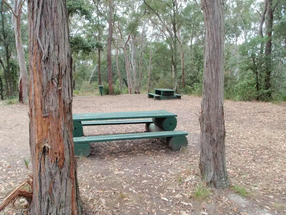
Shelter
| 1.7 km | [shelter] |
Toilet
| 1.9 km | [toilet] |