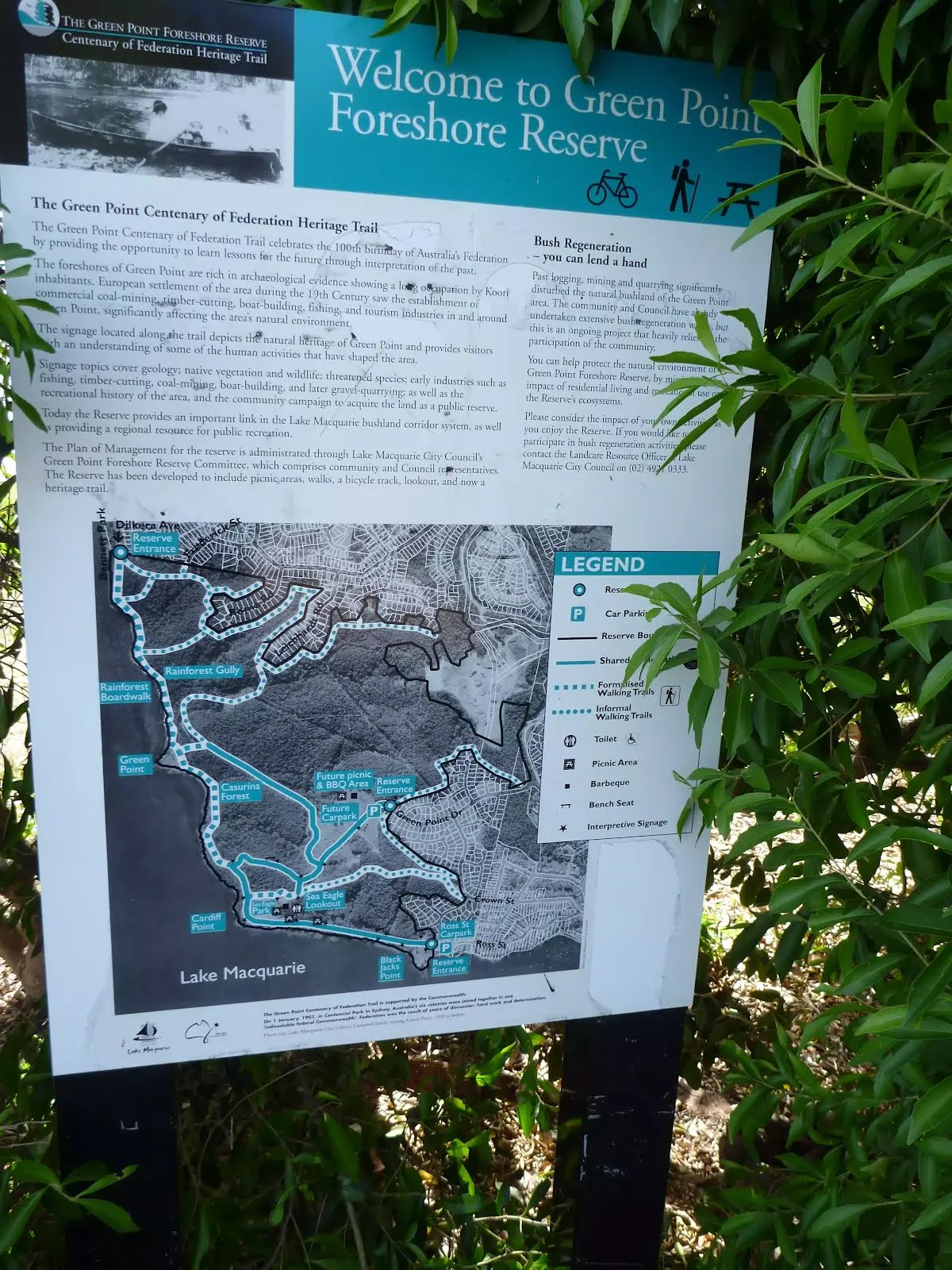


| Start | (-33.0299182,151.6421491) |
| Mode | Bus Car (There is free parking available.) |
| Directions | From Pacific Highway, A43
|

|
|
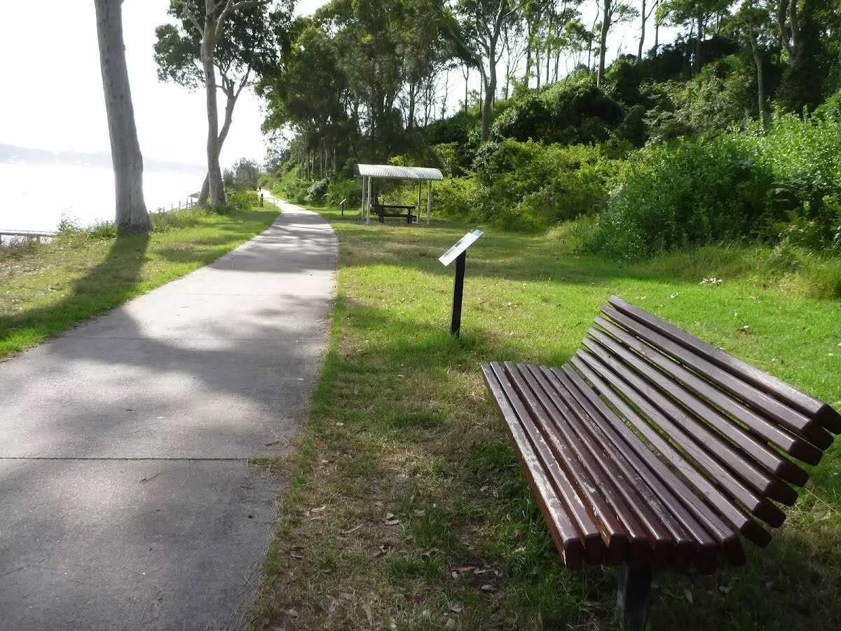
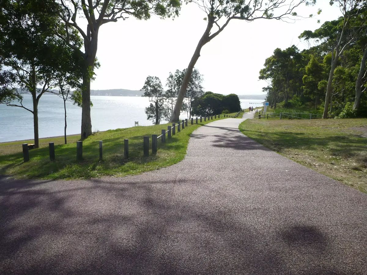
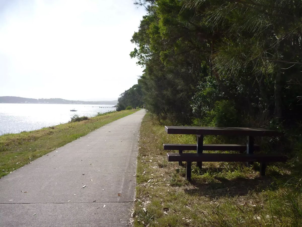
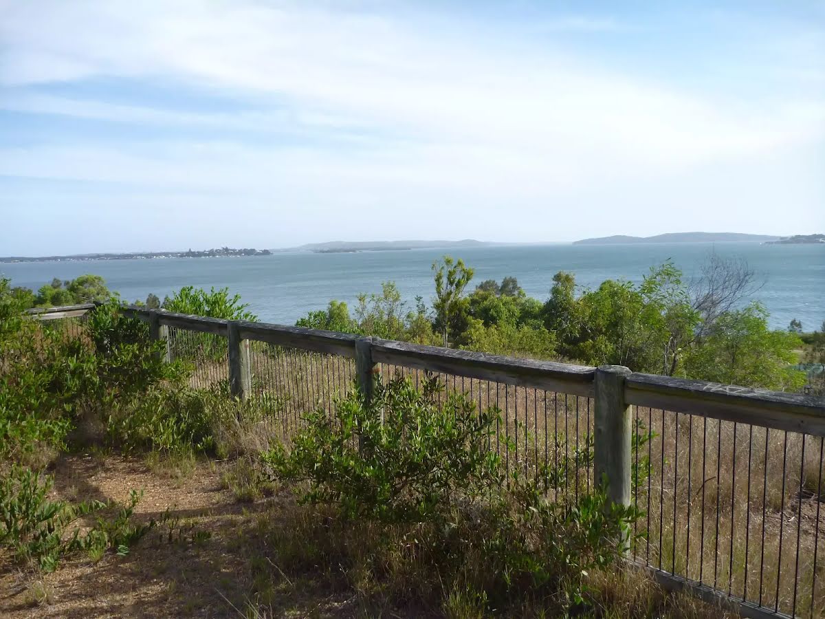
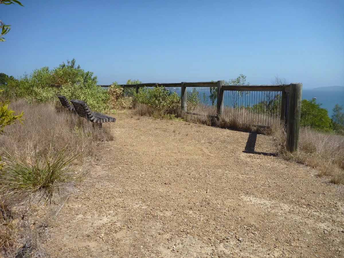
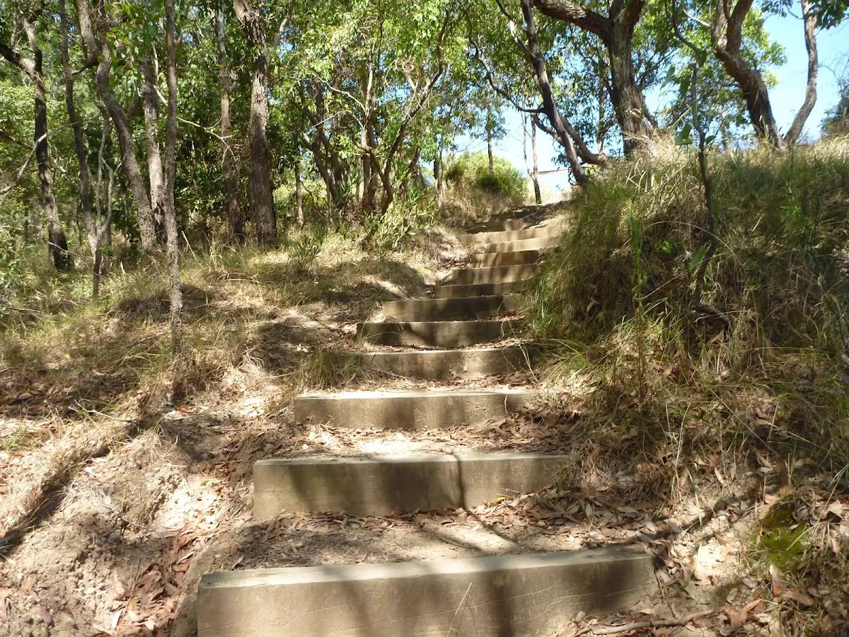
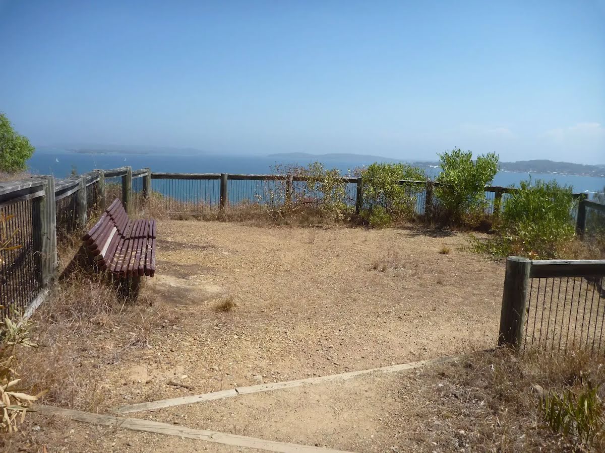
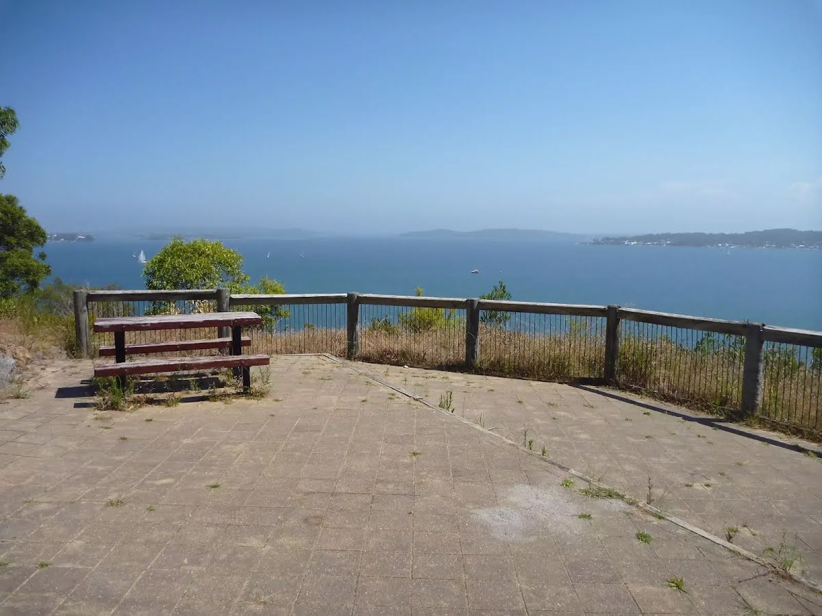
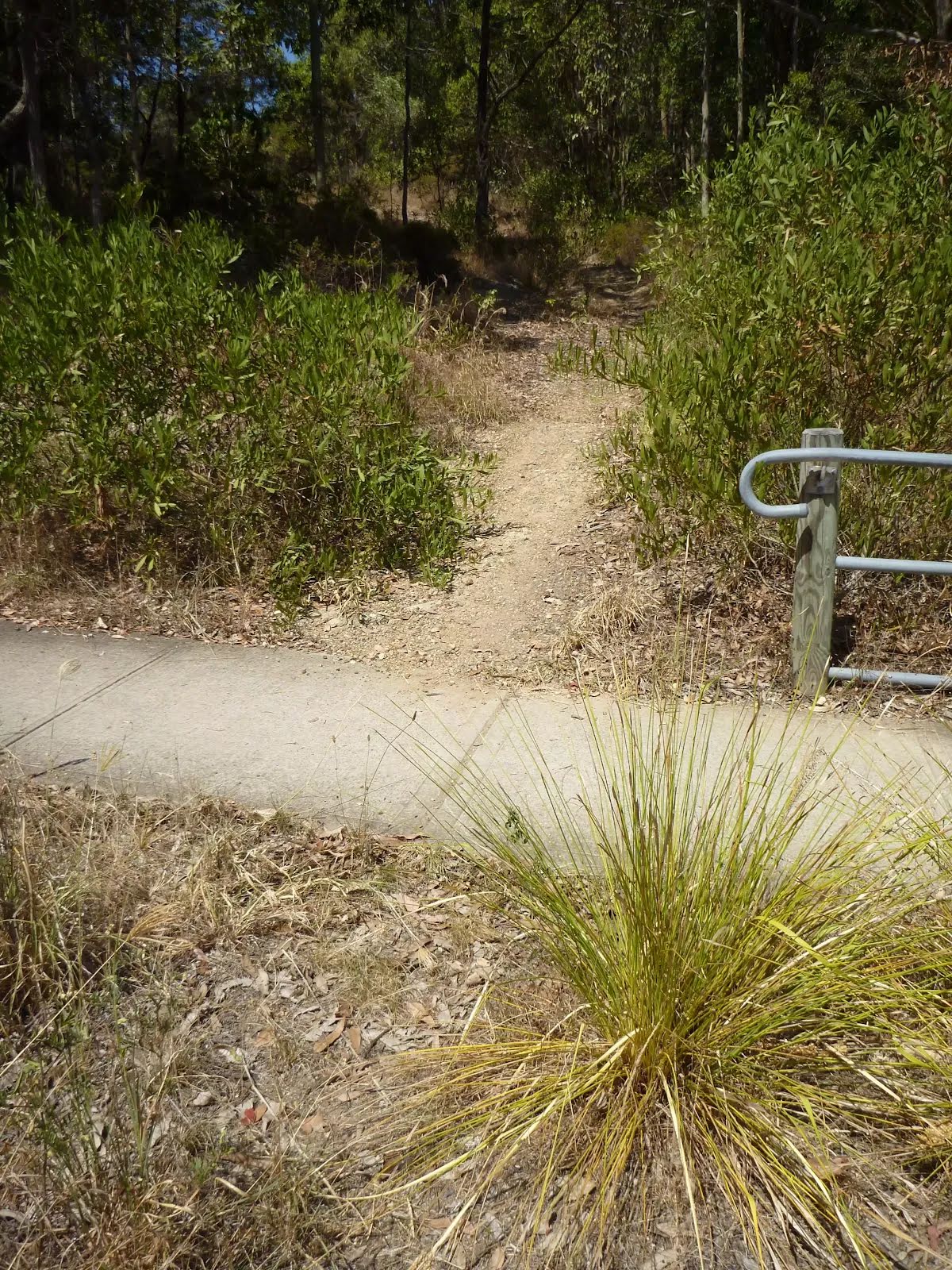
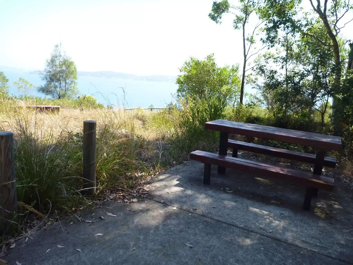
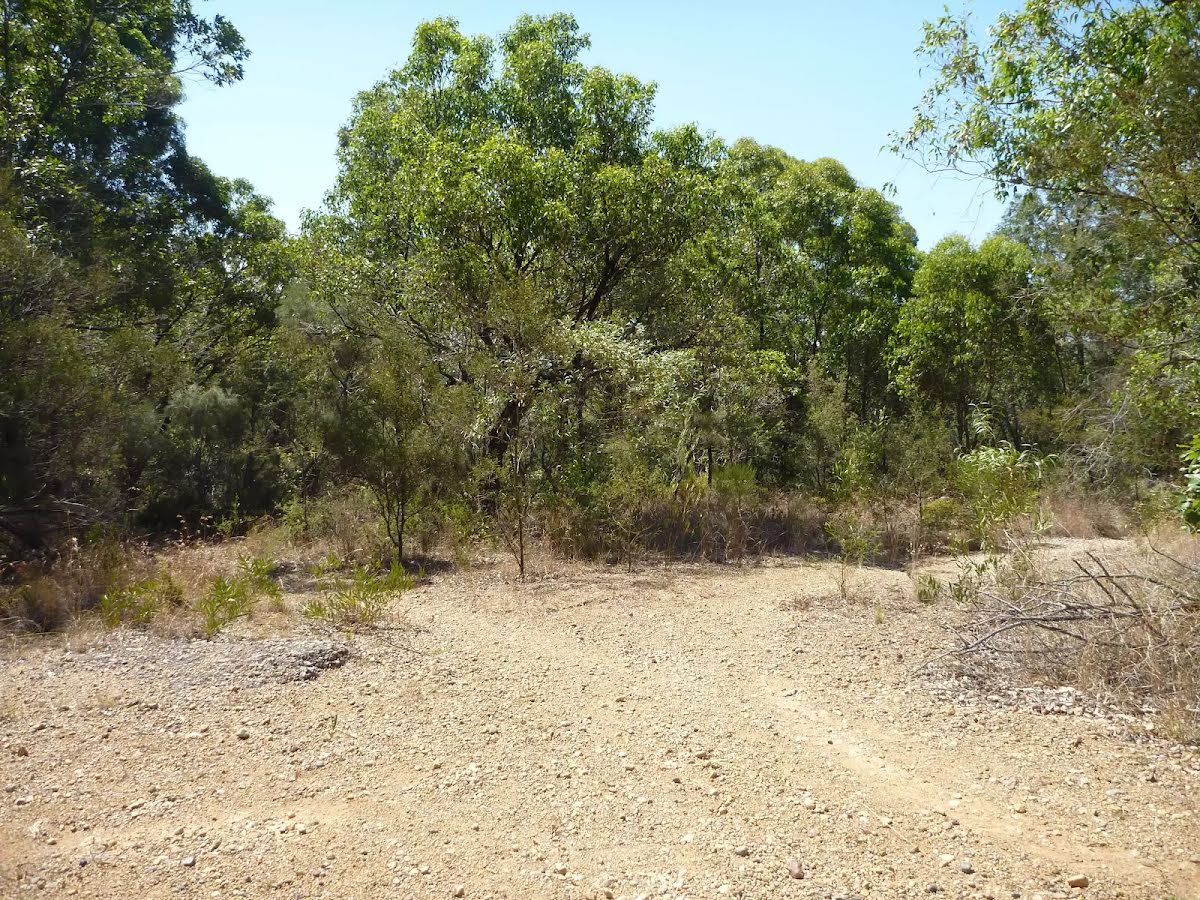
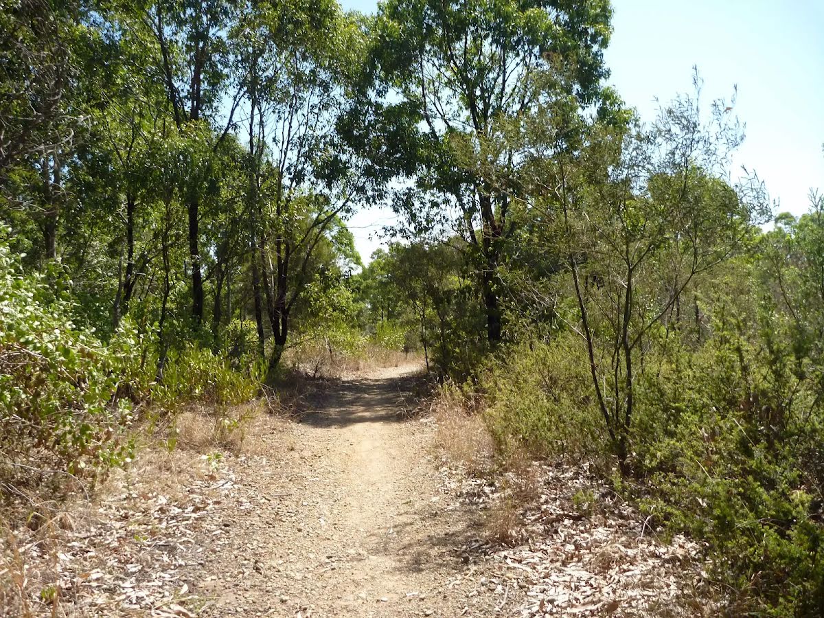
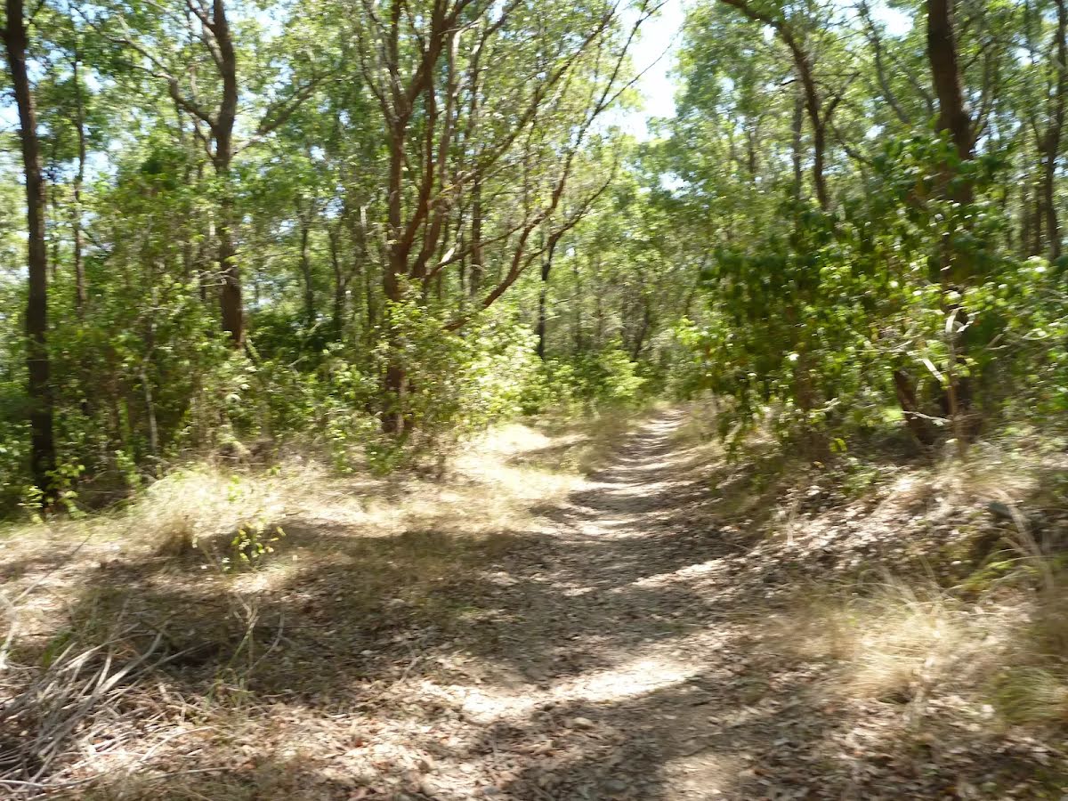
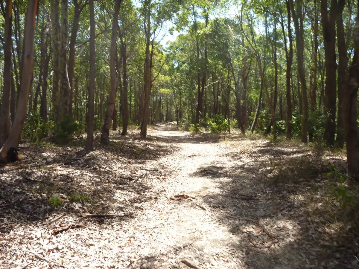
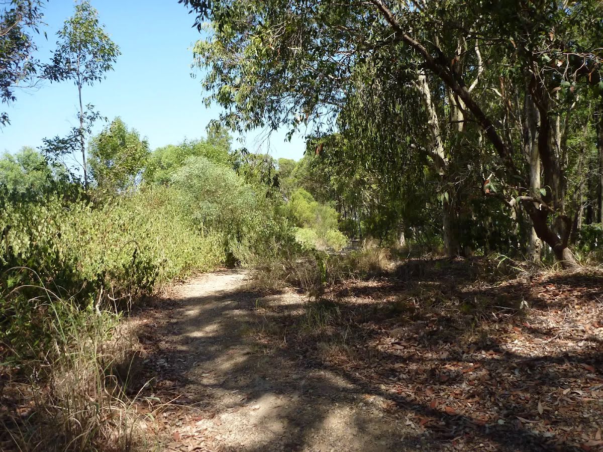
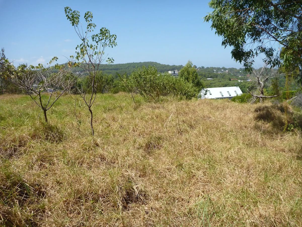
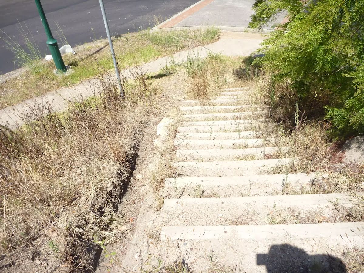
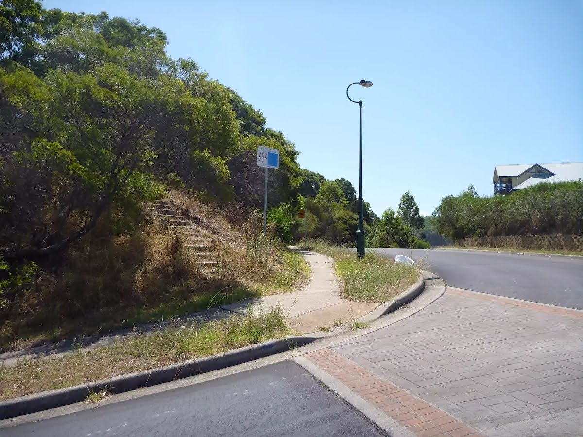
Class 3/6 Moderate track |
|---|---|
| Length | 2.3 km |
| Time | 50 min to 1 h |
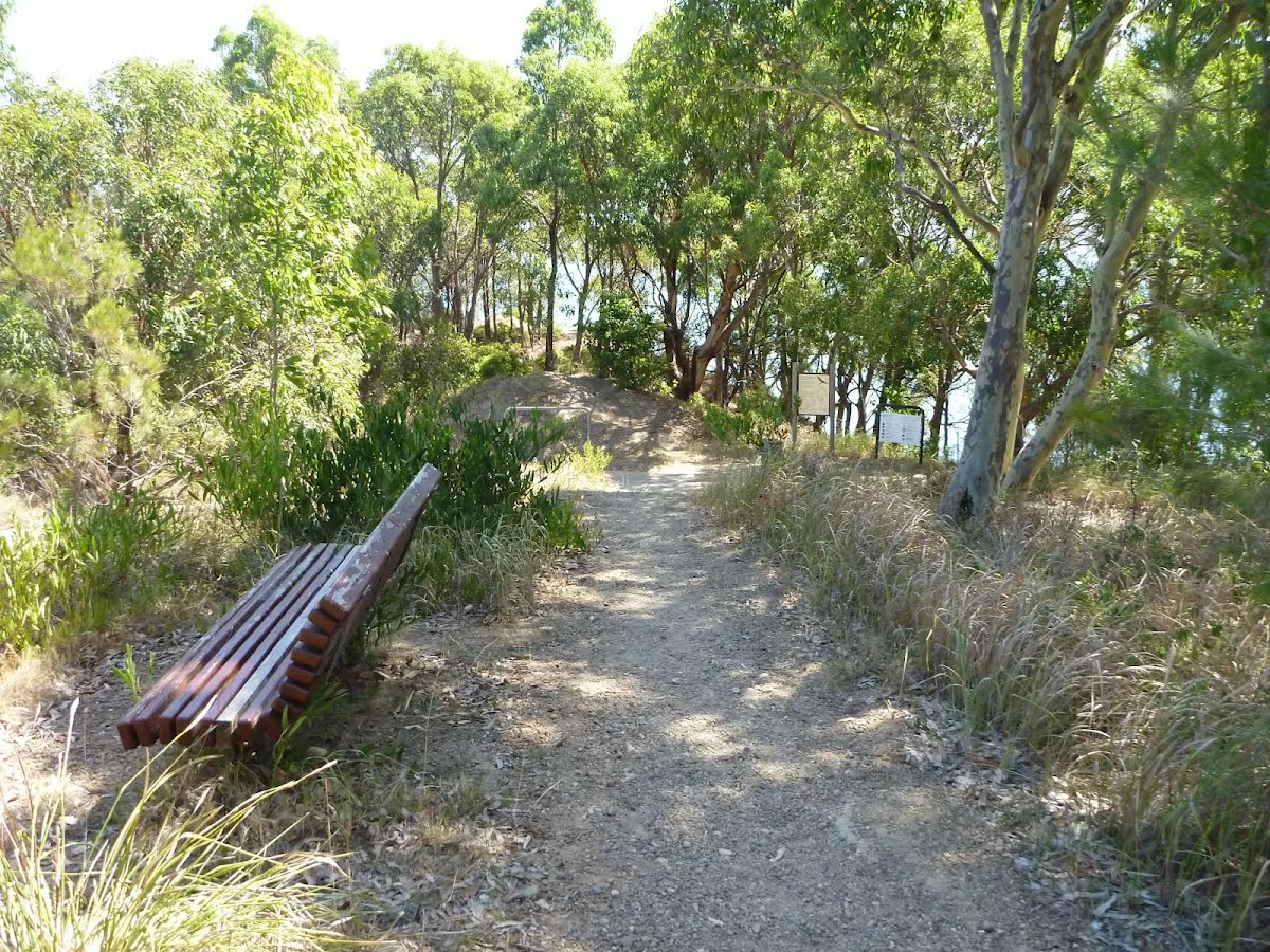
| Quality of track | Formed track, with some branches and other obstacles (3/6) |
| Gradient | Short steep hills (3/6) |
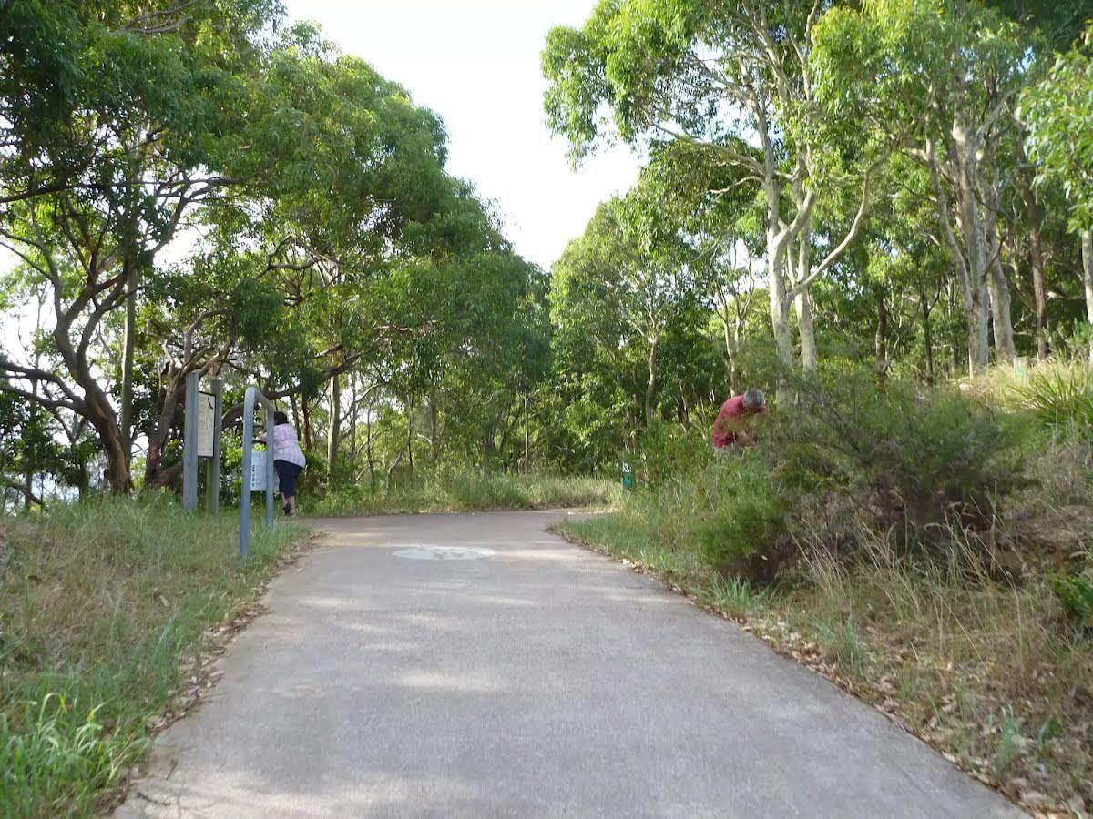
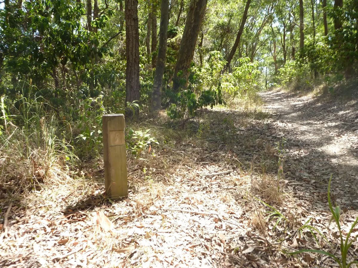
| Signage | Directional signs along the way (3/6) |
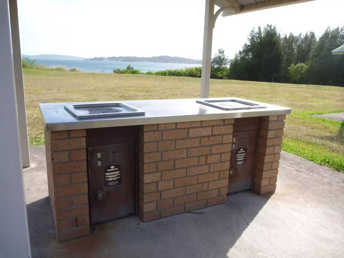
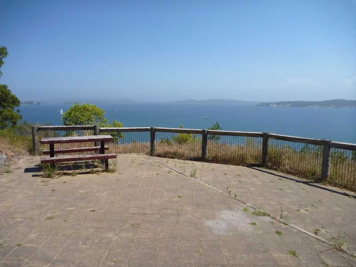
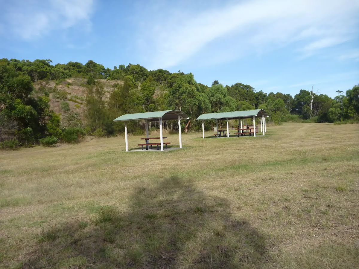
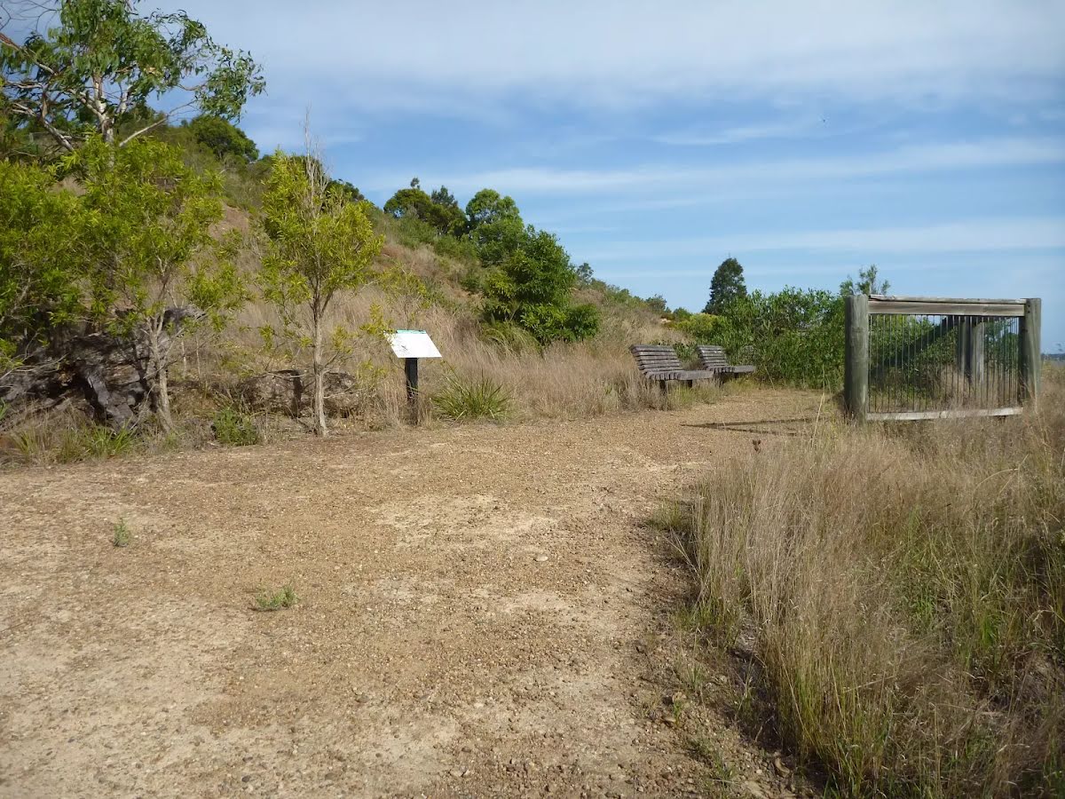
| Infrastructure | Limited facilities, not all cliffs are fenced (3/6) |
| Experience Required | Some bushwalking experience recommended (3/6) |
| Weather | Weather generally has little impact on safety (1/6) |
| Item | From Start | Name & link to notes |
|---|---|---|
Toilet
| 40 m | Public Toilets |
Toilet
| 700 m | [toilet] |