| Start | (-36.7969316,149.9399845) |
| Mode | Car (A park entry fee is required for driving into the park.) |
| Directions | From Princes Highway, A1
|

|
|
Class 5/6 Very challenging |
|---|---|
| Length | 8.5 km |
| Time | 2 h 45 min to 3 h 30 min |
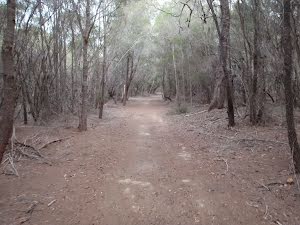
| Quality of track | Rough unclear track (5/6) |
| Gradient | Very steep (4/6) |
| Signage | No directional signs (5/6) |
| Infrastructure | Limited facilities, not all cliffs are fenced (3/6) |
| Experience Required | Some bushwalking experience recommended (3/6) |
| Weather | Weather generally has little impact on safety (1/6) |
| Item | From Start | Name & link to notes |
|---|---|---|
Toilet
| -117 m | [toilet] |
Camp site
| -81 m | Hobart Beach |
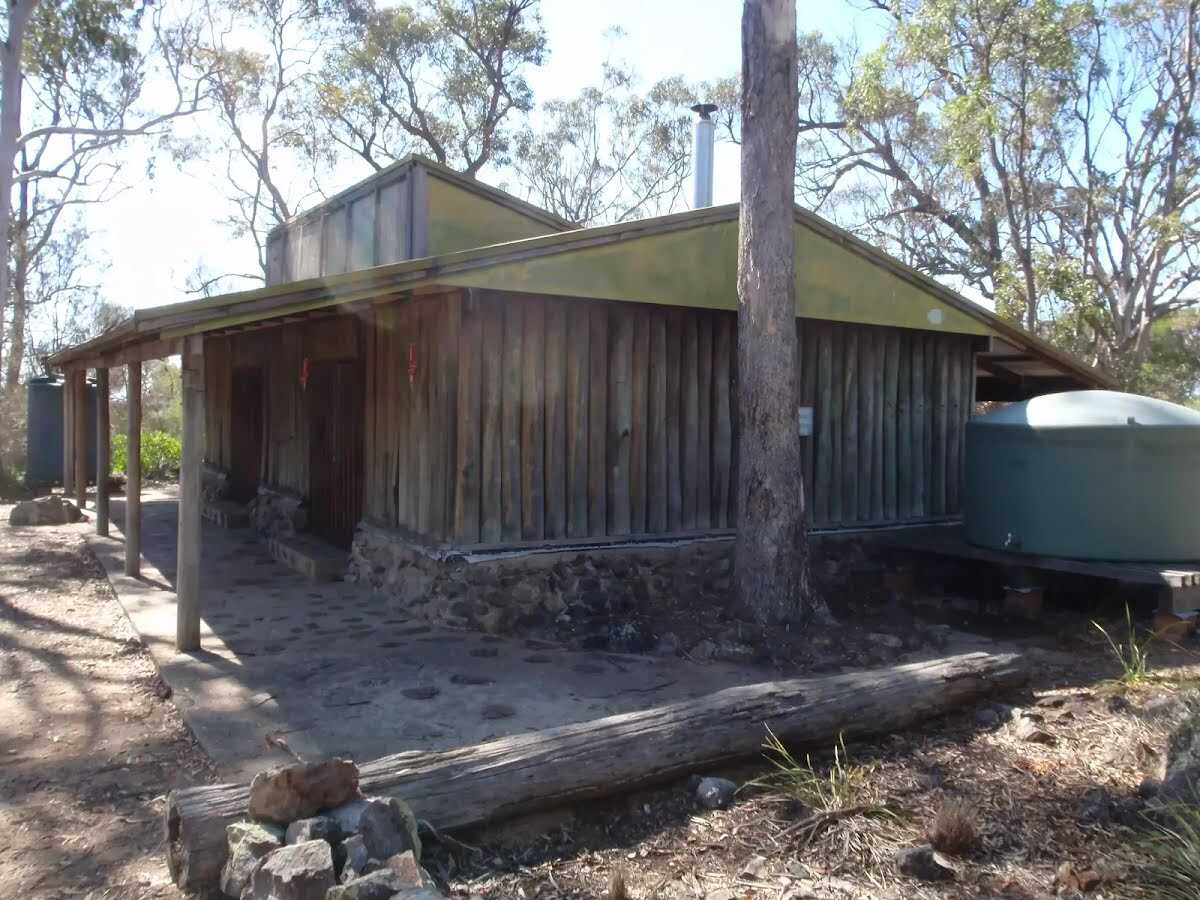
Camp site
| 6.2 km | Bournda National Park Field Studies Huts |