| Start | At the intersection of Sandy Creek Walking Track & North Tura Road (-36.8290906,149.9343291) |
| Mode | Car (There is free parking available.) |
| Directions | From Princes Highway, A1
|
| Finish | (-36.8155856,149.9375543) |
| Mode (end) | Car Shuttle Car (A park entry fee is required for driving into the park.) |
| Turn map | Directions & comments |
|---|---|
 |
|
 |
The starting point of an optional sidetrip. An optional side trip to Nth Tura Lookout. To start this optional side trip turn sharp right here. On returning from this side trip veer right when you get back to this intersection. Details below.
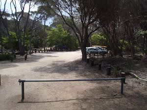
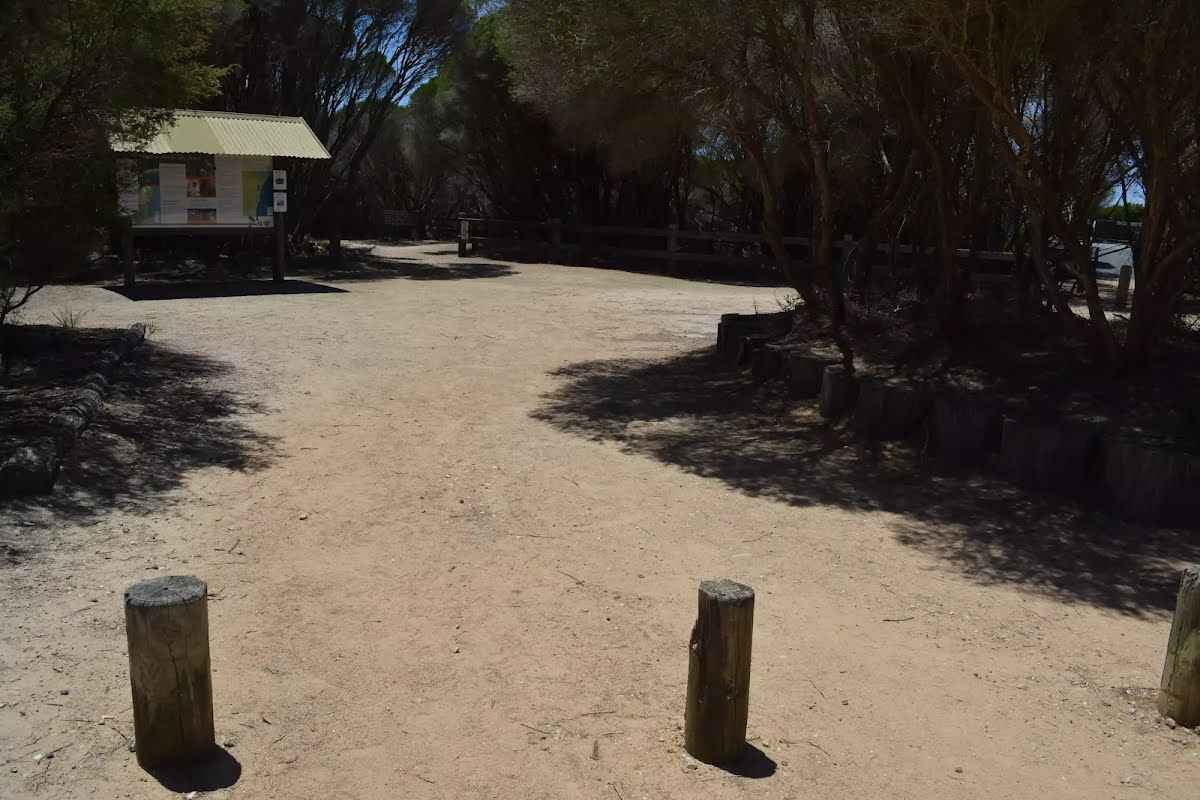 Timber bollards at end of carpark. Gap of 1.3m (0.5m high) provides access to picnic area, toilet and walking tracks.
|
 |
|
 |
|
 |
|
 |
The starting point of an optional sidetrip. An optional side trip to Bournda Lagoon Lookout. To start this optional side trip turn right here. On returning from this side trip turn around when you get back to this intersection. Details below.
|
 |
|
 |
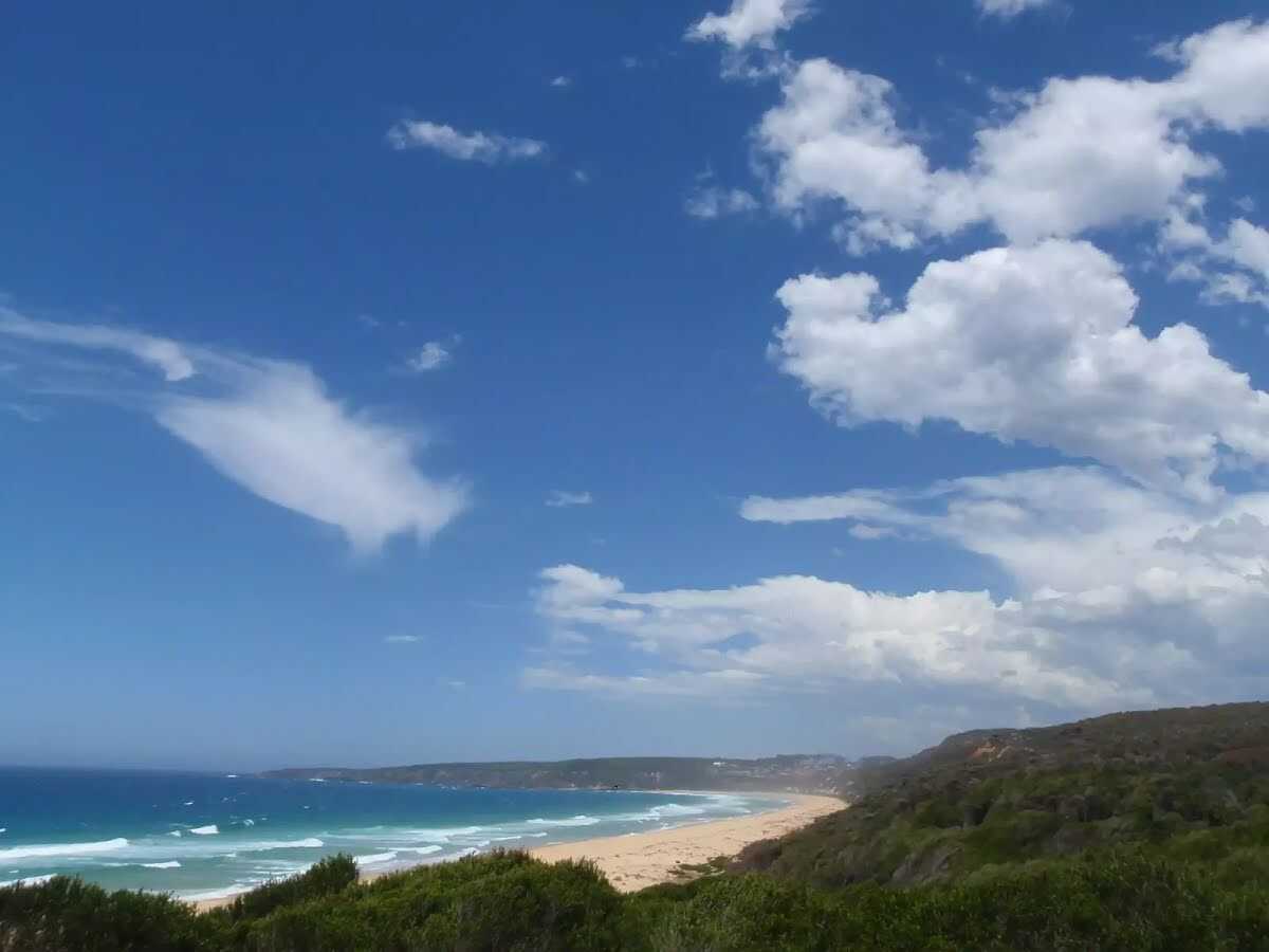
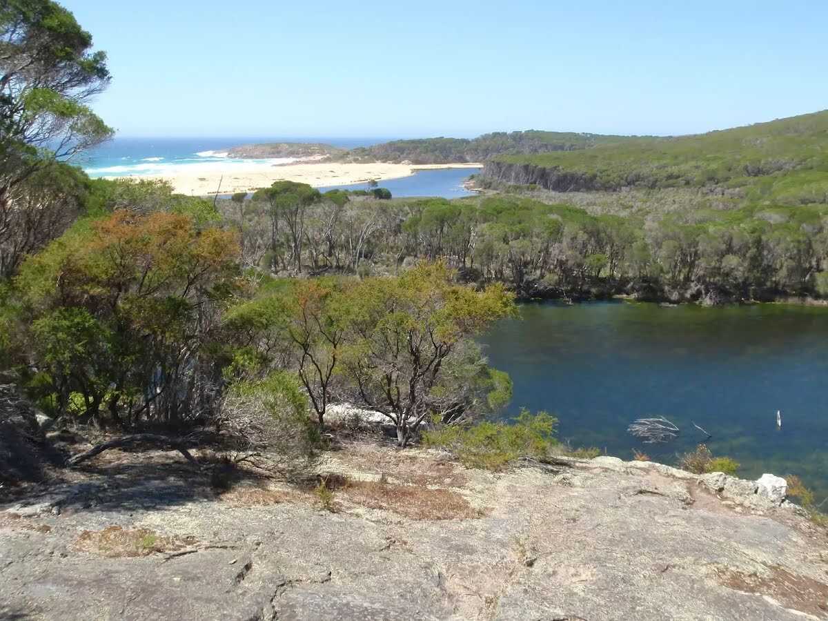
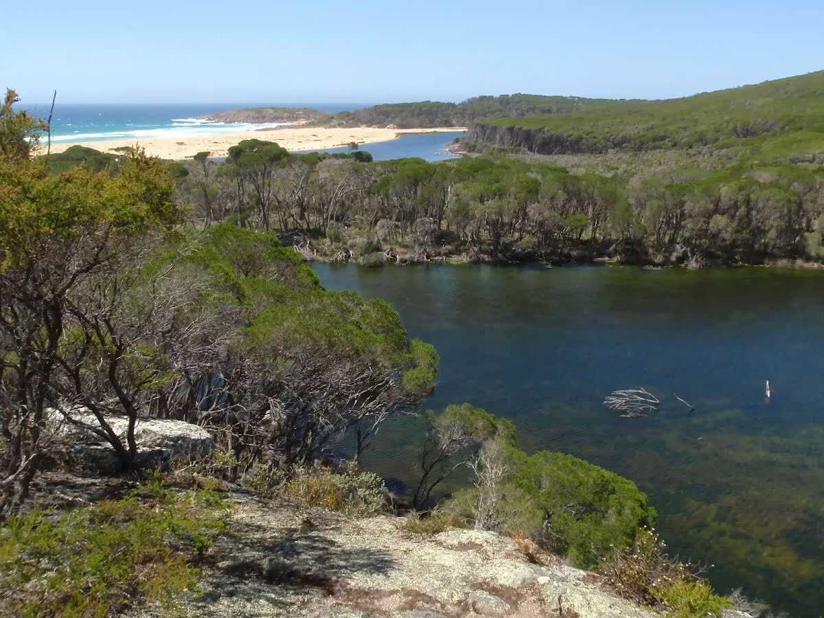 Bournda Lagoon has formed behind Bournda Beach, between Tathra and Merimbula in Bournda National Park. The lagoon is deep enough for swimming and is a popular spot for a freshwater swim. The lagoon is fed by Sandy Beach Creek, which has been silted up at the southernmost end of Bournda Beach. The lagoon supports a variety of environments, including a rainforest, on its shores. However, the lagoon is subject to environmental issues such as algal blooms. The lagoon can be accessed by bush track from Bournda Lagoon car park, at the end of Bournda Rd.
|
 |
|
 |
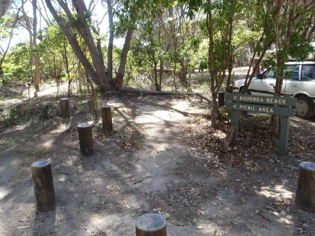 Bournda Beach picnic area is found next to Bournda Lagoon car park, in Bournda National Park. The picnic area is shaded by the trees behind Bournda Beach, which is between Tathra and Merimbula. The picnic area has modest facilities with a few picnic tables, BBQ pit and a toilet nearby. The picnic area is a great place to eat lunch before heading down to Bournda Beach or Lagoon, which are only a stroll away through the bush.
|

|
|
Class 4/6 Hard track |
|---|---|
| Length | 3.5 km |
| Time | 1 h 15 min to 2 h 30 min |
| Quality of track | Rough track, where fallen trees and other obstacles are likely (4/6) |
| Gradient | Very steep (4/6) |
| Signage | Directional signs along the way (3/6) |
| Infrastructure | Limited facilities (such as cliffs not fenced, significant creeks not bridged) (4/6) |
| Experience Required | No experience required (1/6) |
| Weather | Storms may impact on navigation and safety (3/6) |
| Item | From Start | Name & link to notes |
|---|---|---|
Entity|toilet
| 45 m | Toilet |
Seat
| 95 m | [seat] |
Toilet
| 3.5 km | [toilet] |