
| Start | From the Ourimbah Creek Road (-33.3174483,151.2999462) |
| Mode | Car (There is free parking available.) |
| Directions | From Pacific Highway Offramp
|
| Finish | (-33.2509423,151.2694888) |
| Mode (end) | Car Shuttle Car (There is free parking available.) |
| Turn map | Directions & comments |
|---|---|
 |
|
 |
|
 |
|
 |
|
 |
|
 |
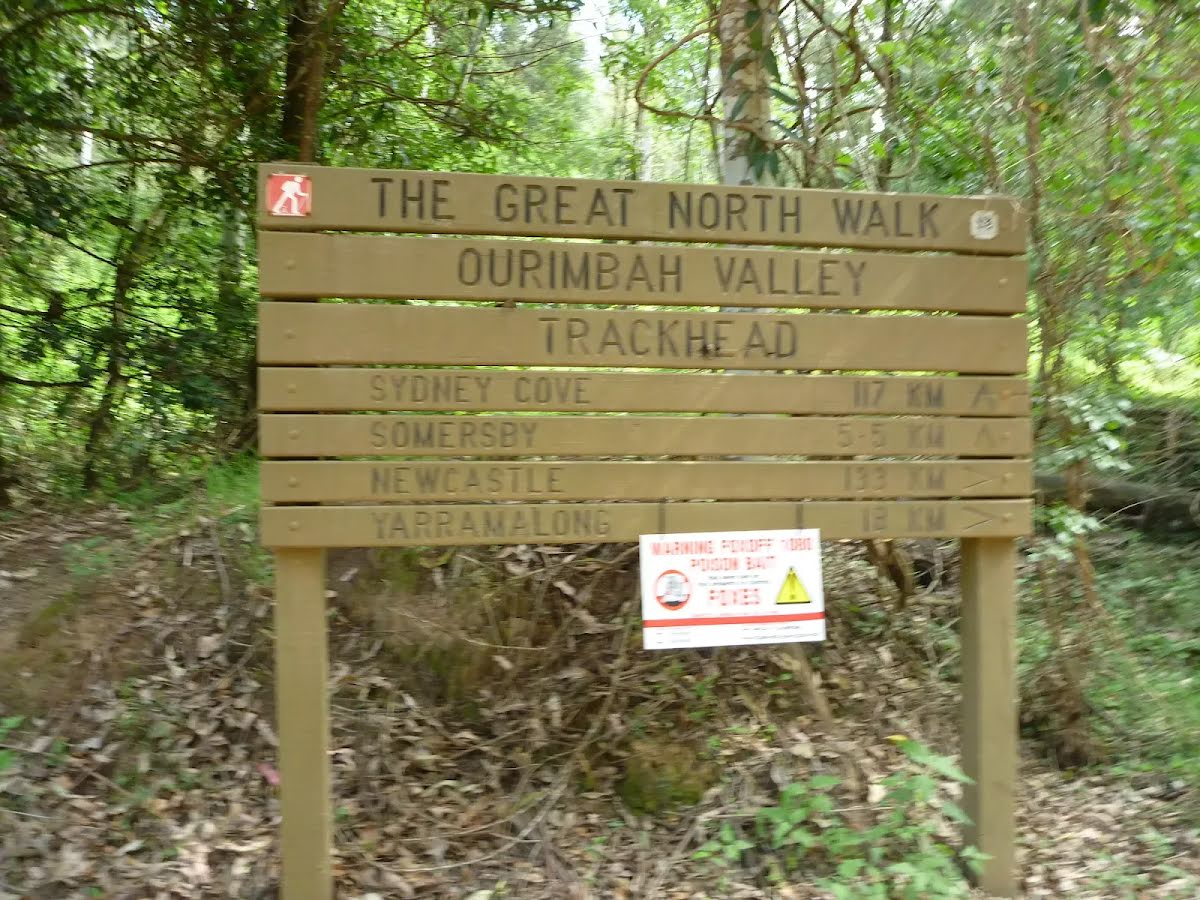
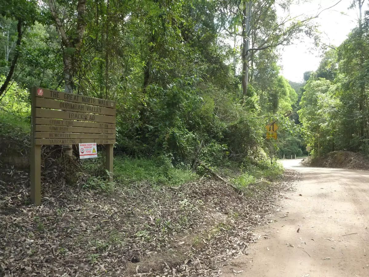
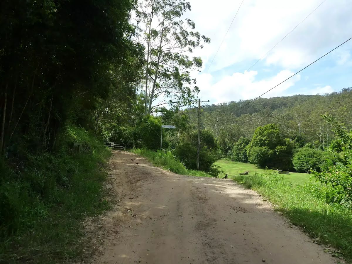
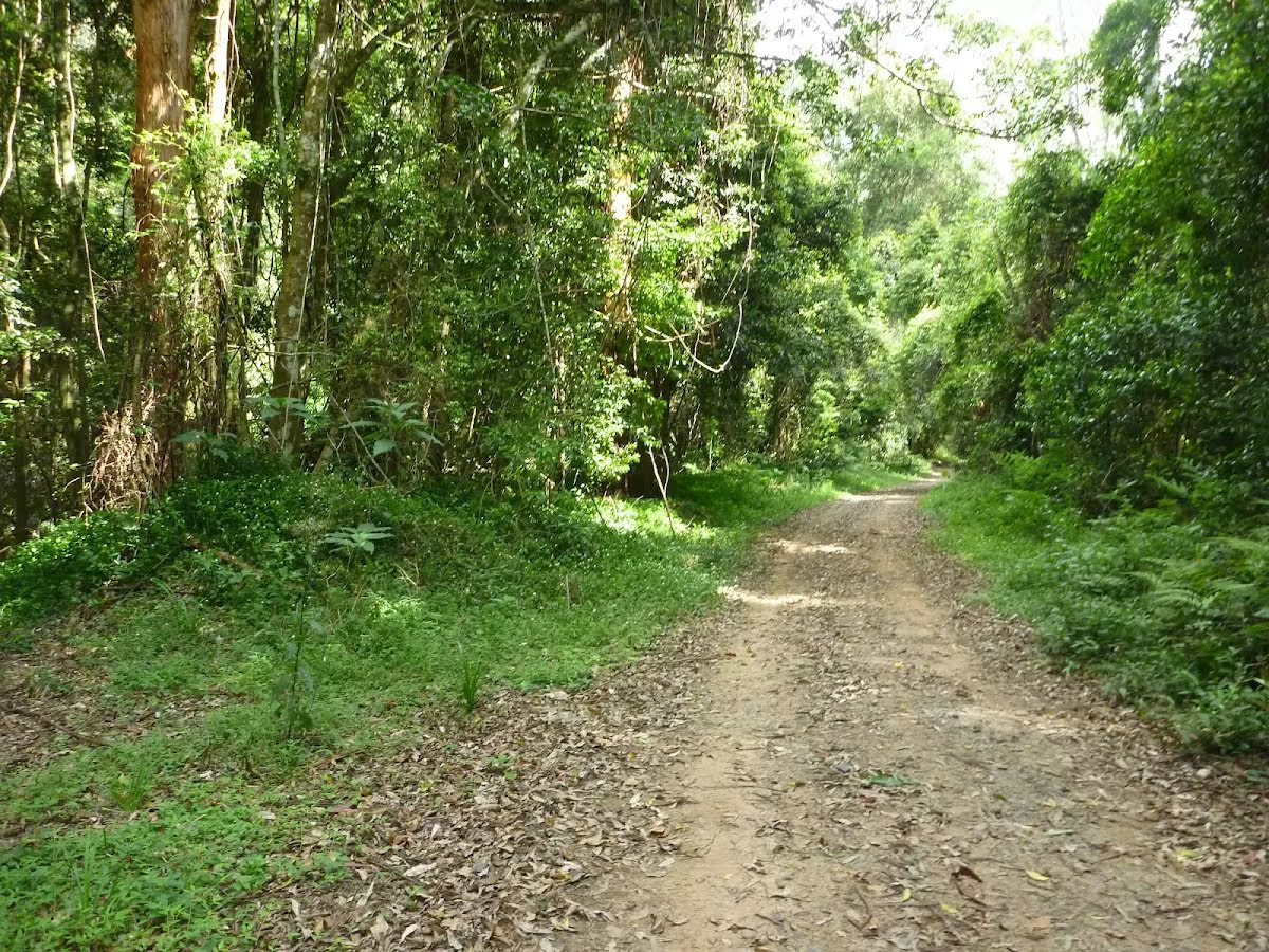
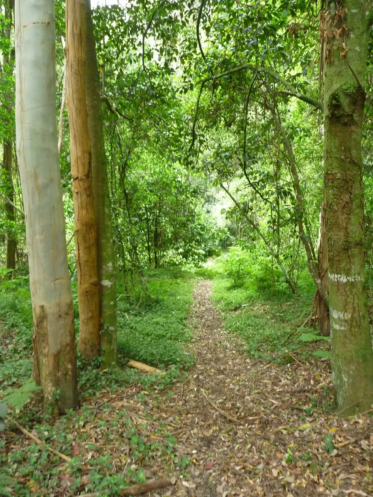
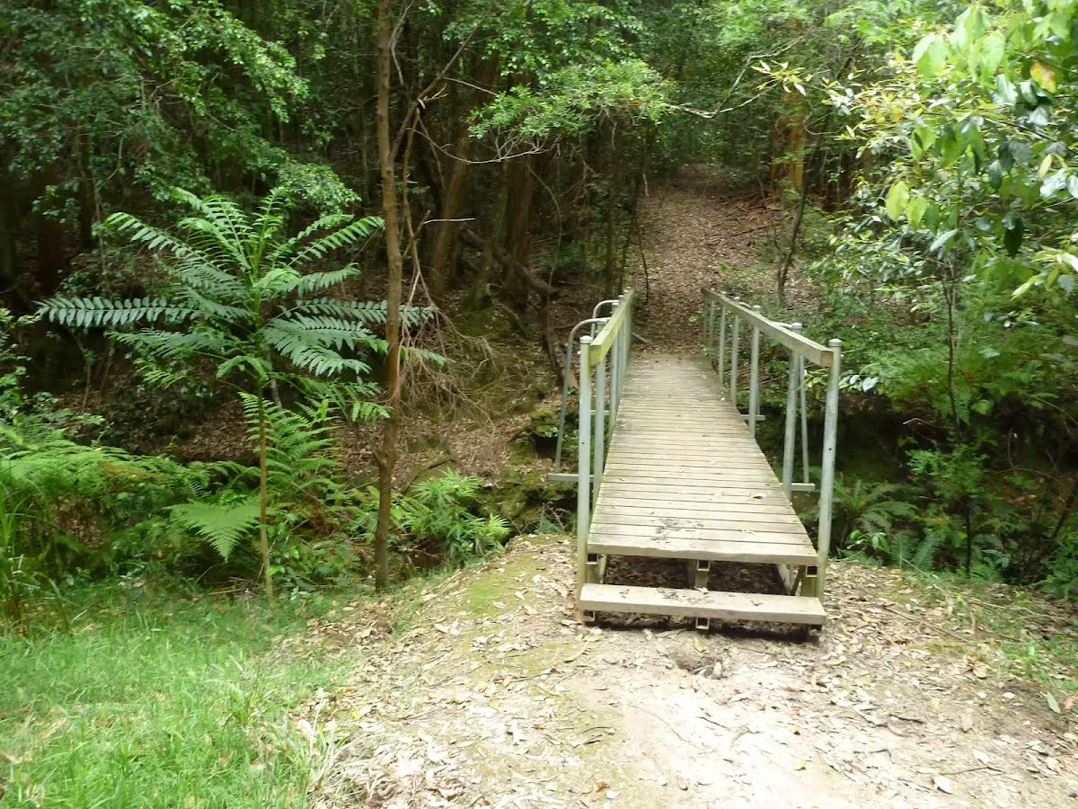
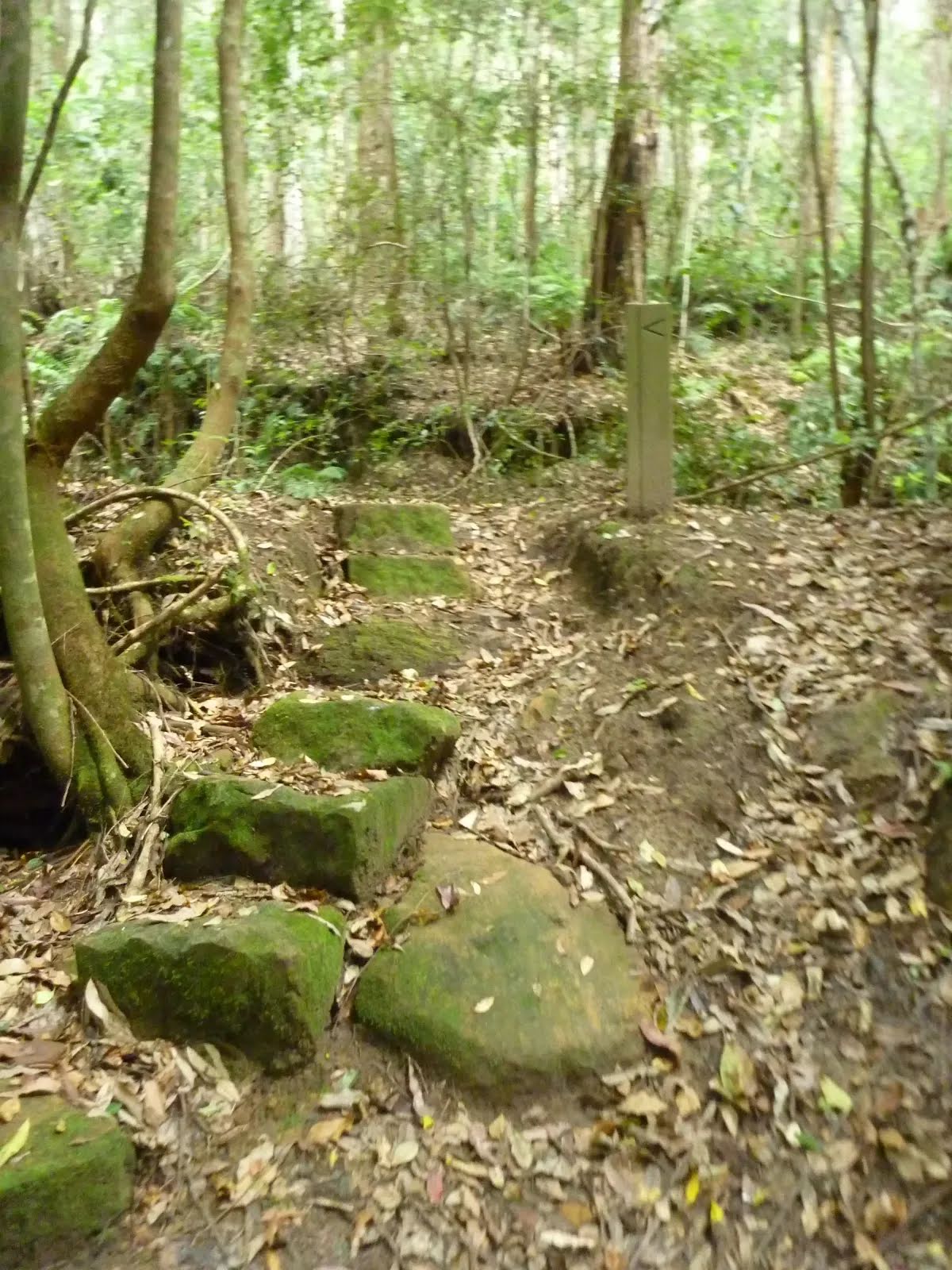
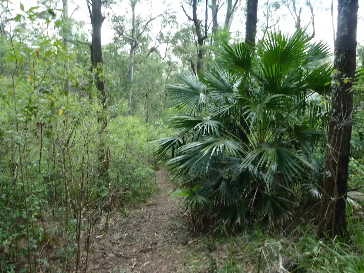
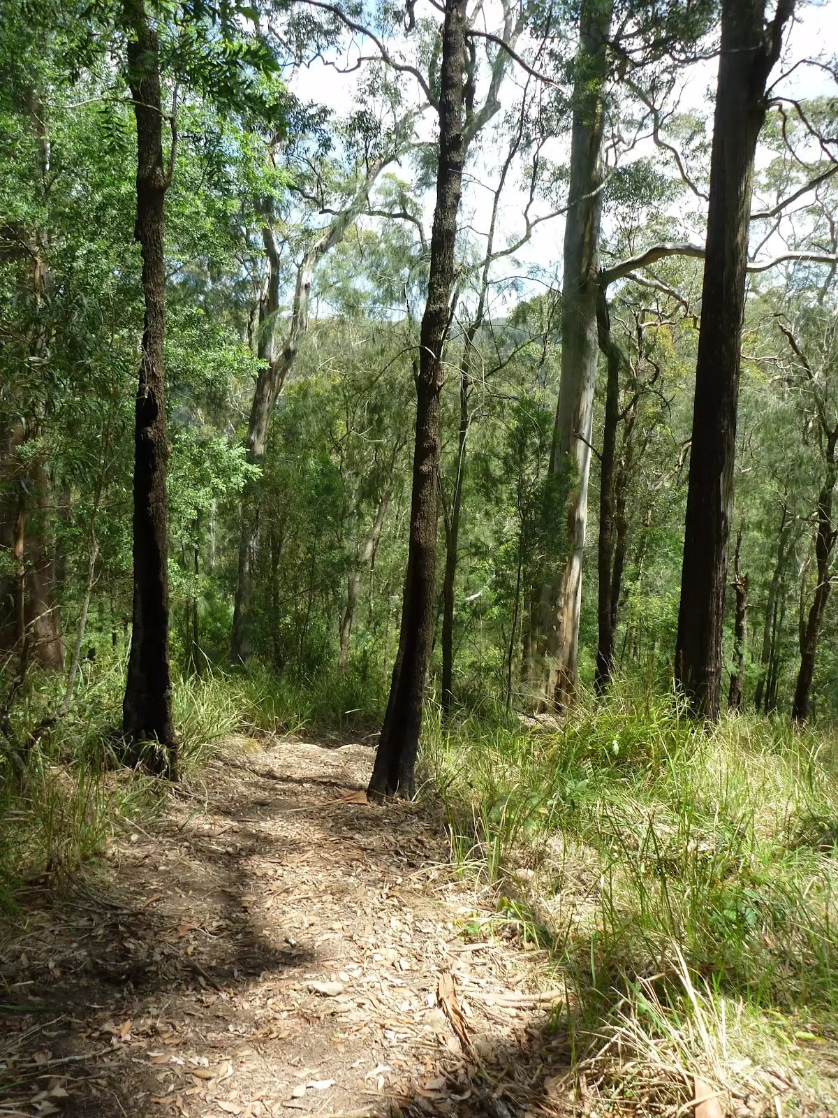
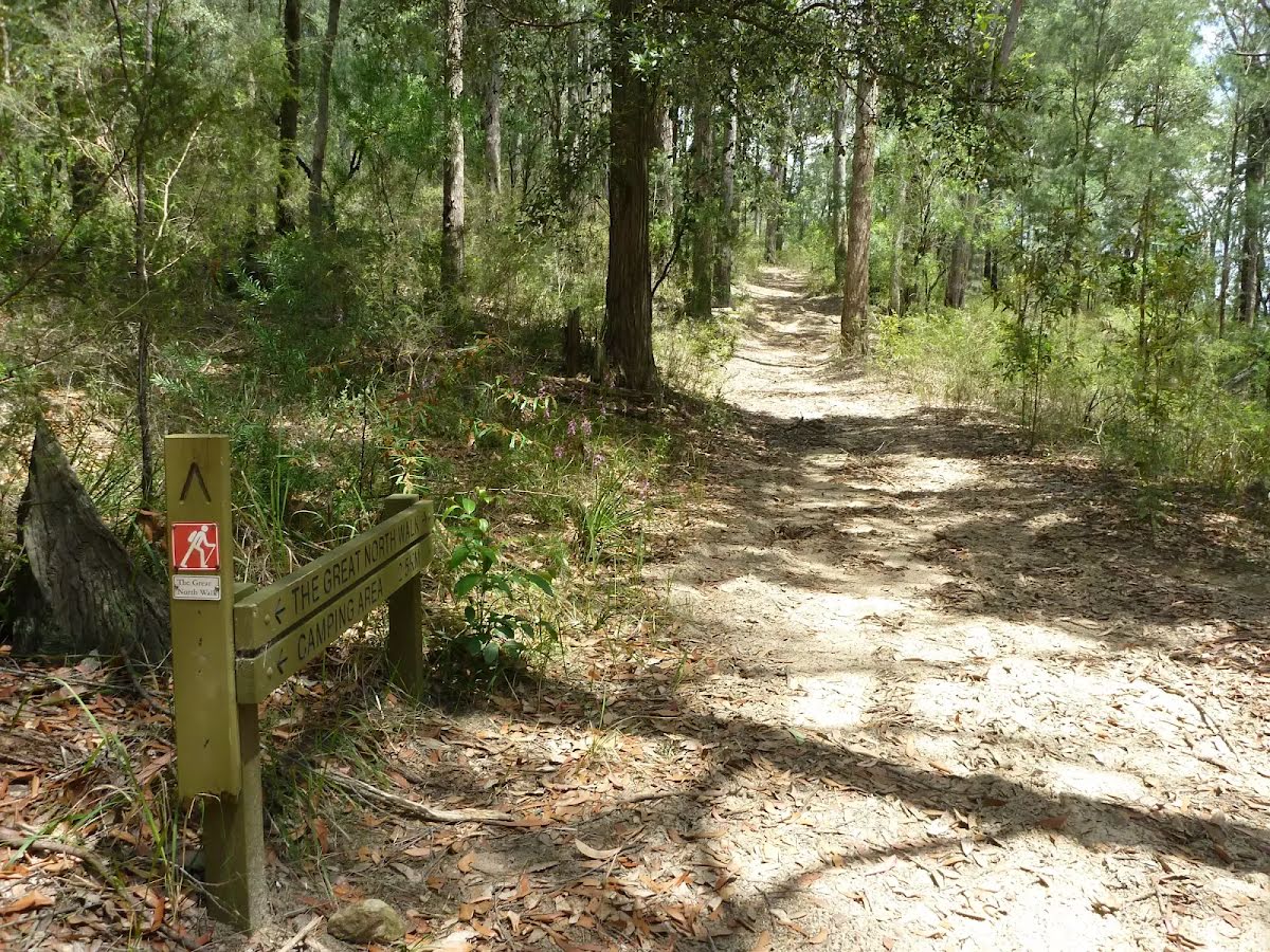
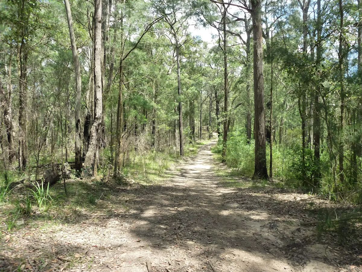
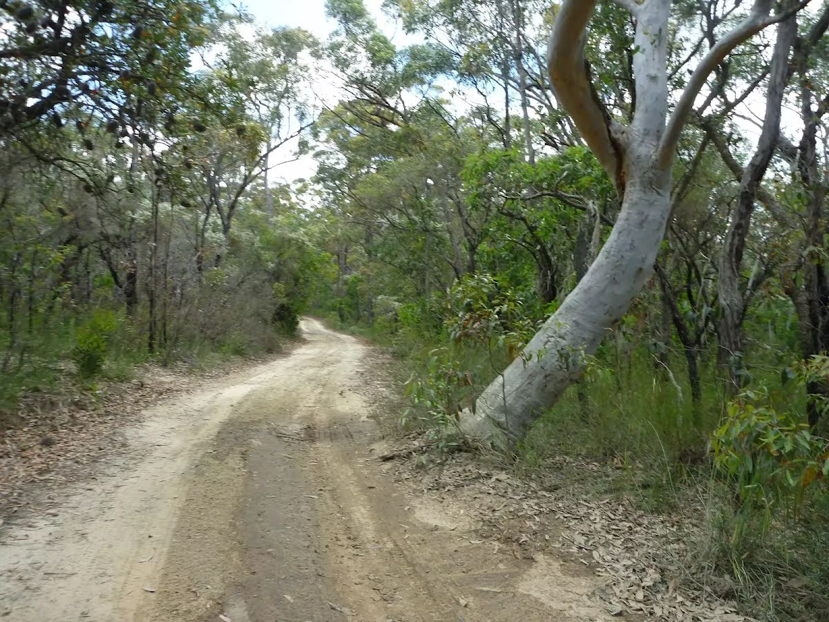
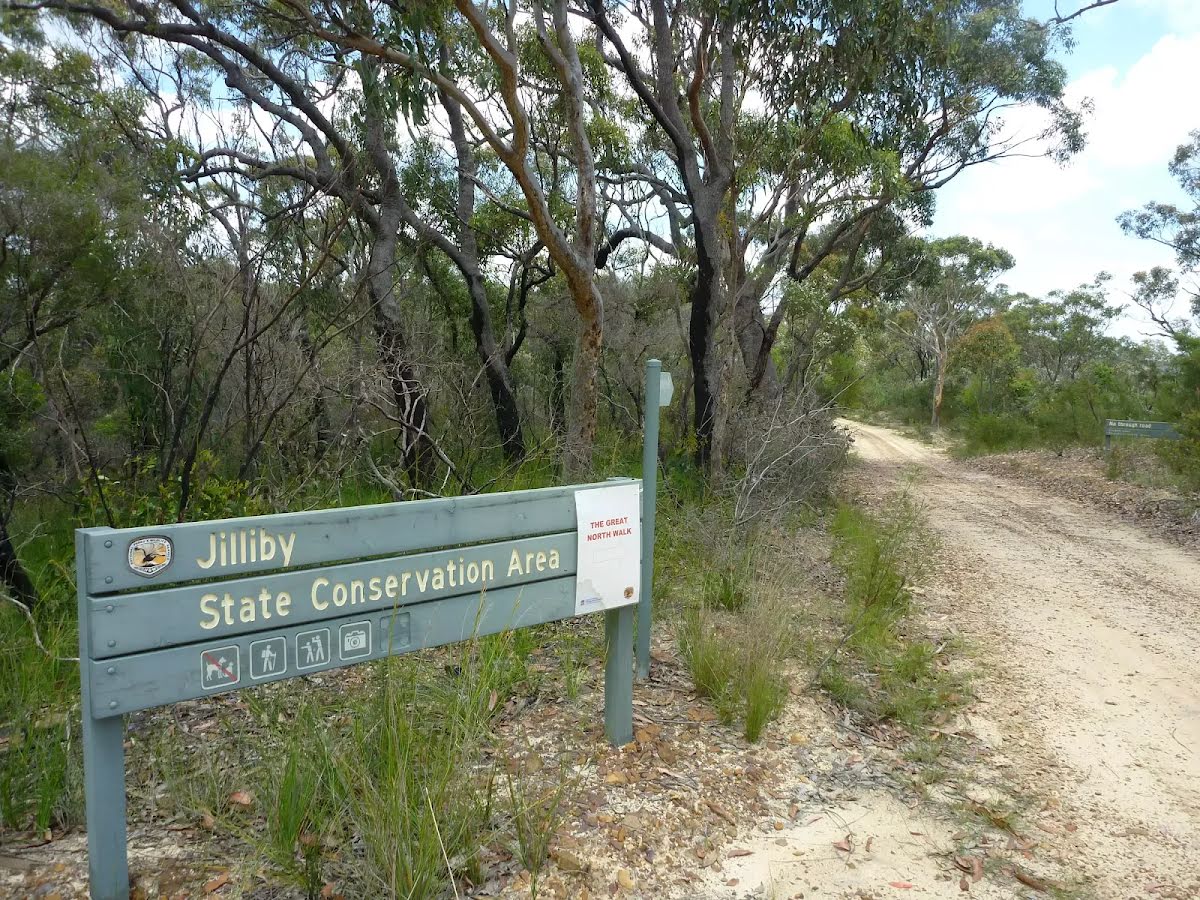
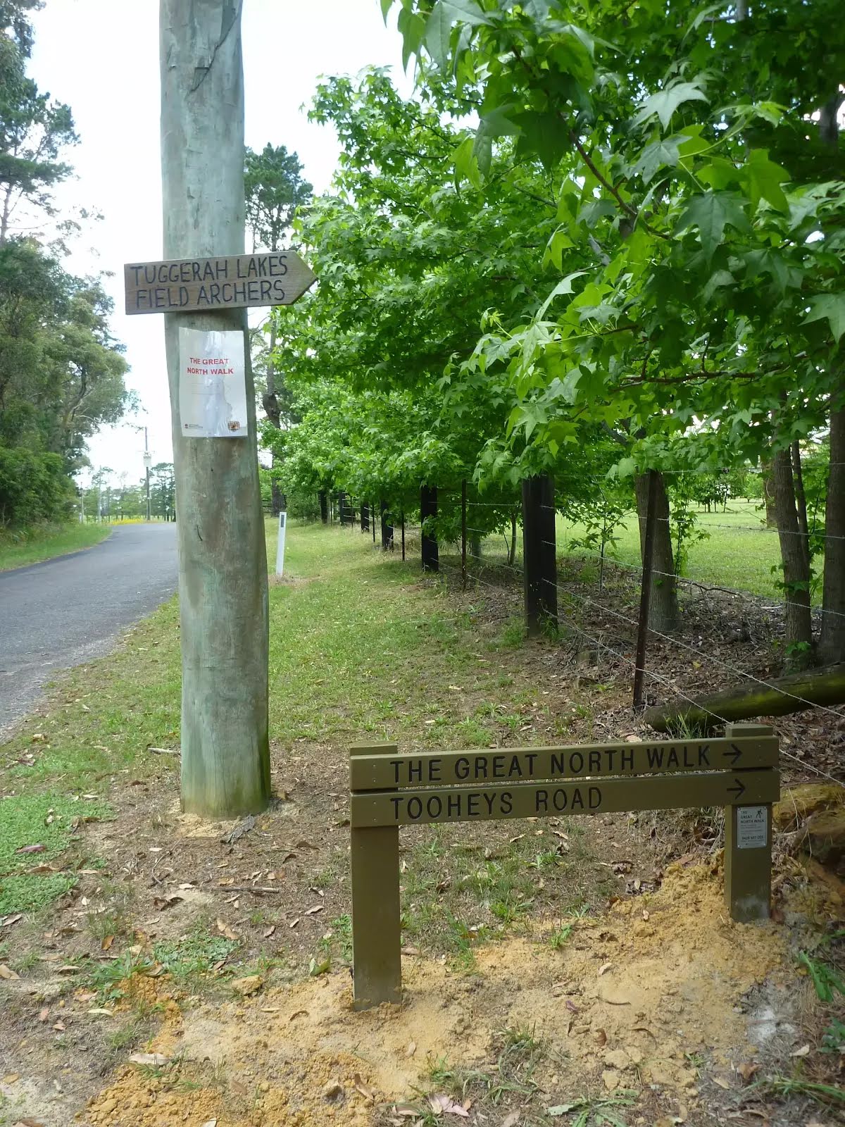
After another 1.1 km (at the intersection of Ourimbah Creek Road & Cedar Brush Walk) turn left, to head along Cedar Brush Walk (a walking track).
|
 |
|
 |
|
 |
|
 |
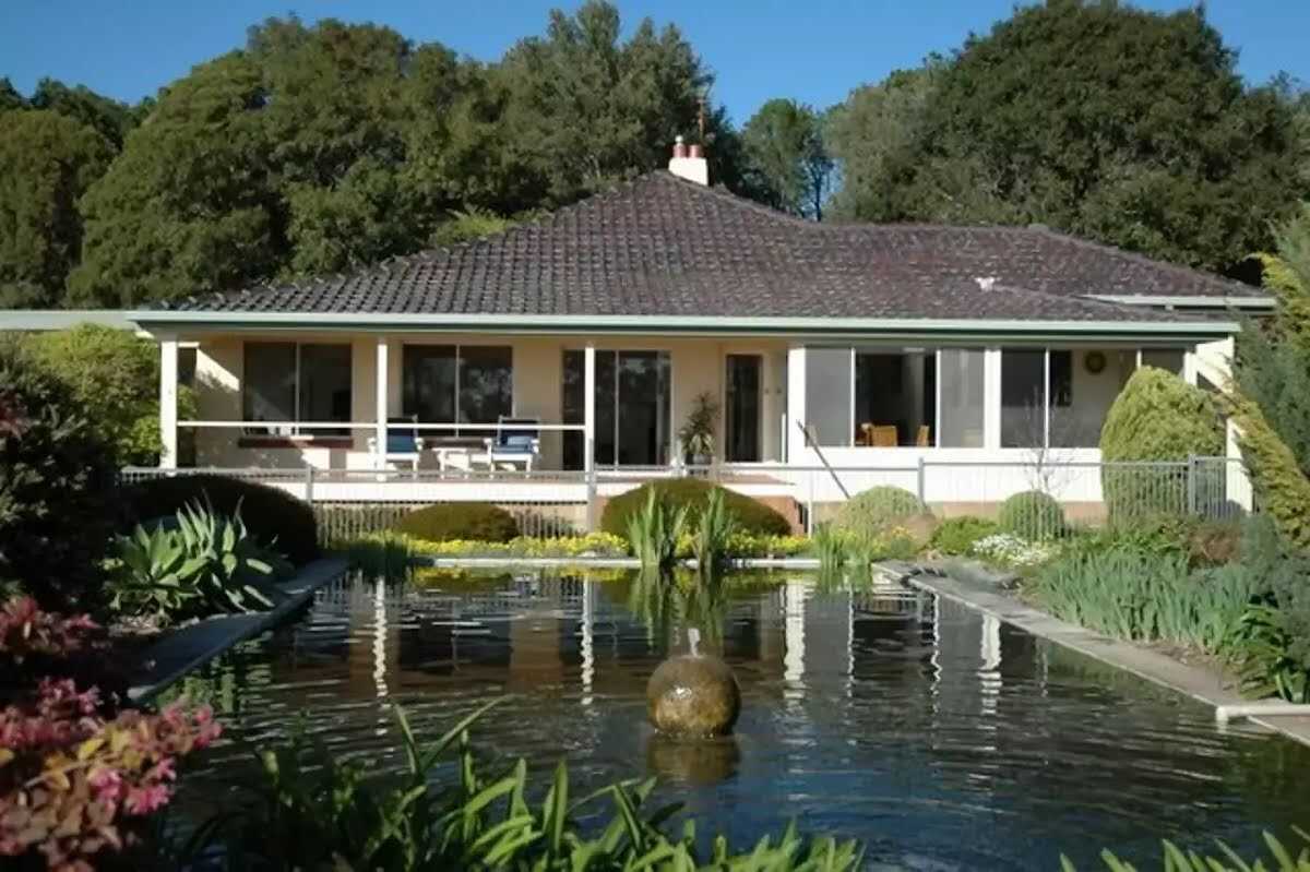
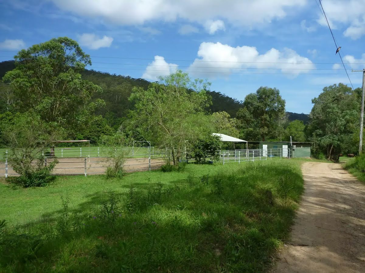
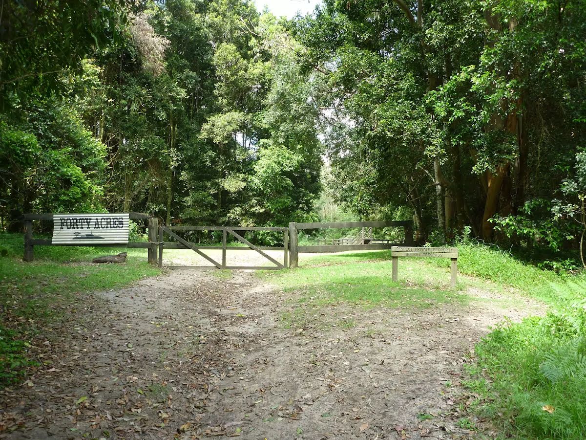
The starting point of an optional sidetrip. An optional side trip to Forest Park Country Retreat. To start this optional side trip turn right here. On returning from this side trip turn right when you get back to this intersection. Details below. |

|
|
Class 4/6 Hard track |
|---|---|
| Length | 11 km |
| Time | 4 h, 5 h to 2 days |
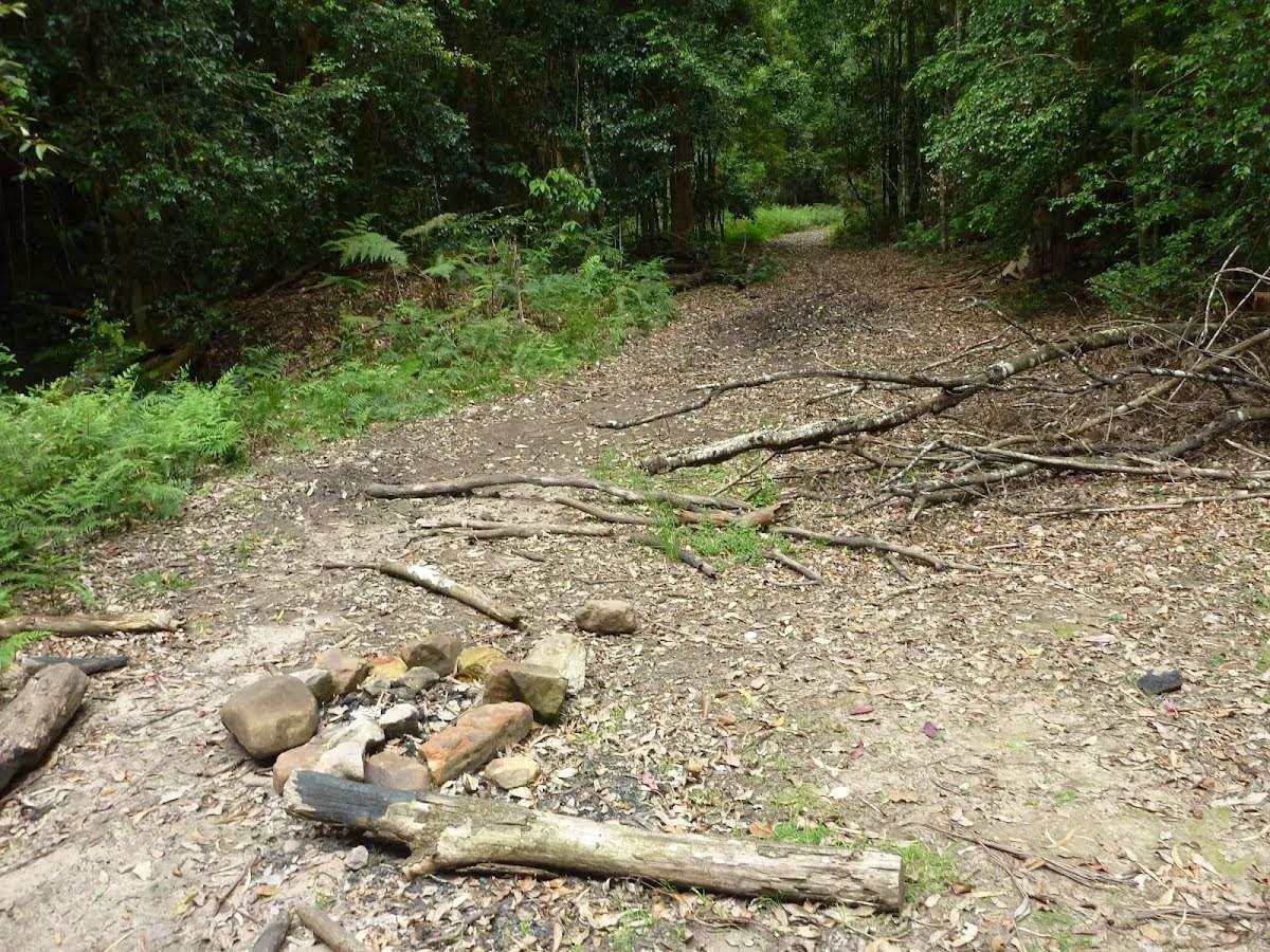
| Quality of track | Formed track, with some branches and other obstacles (3/6) |
| Gradient | Very steep (4/6) |
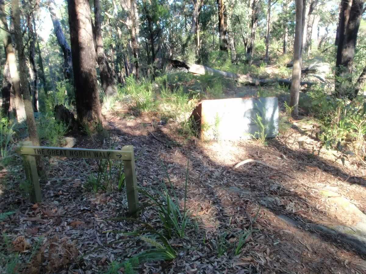
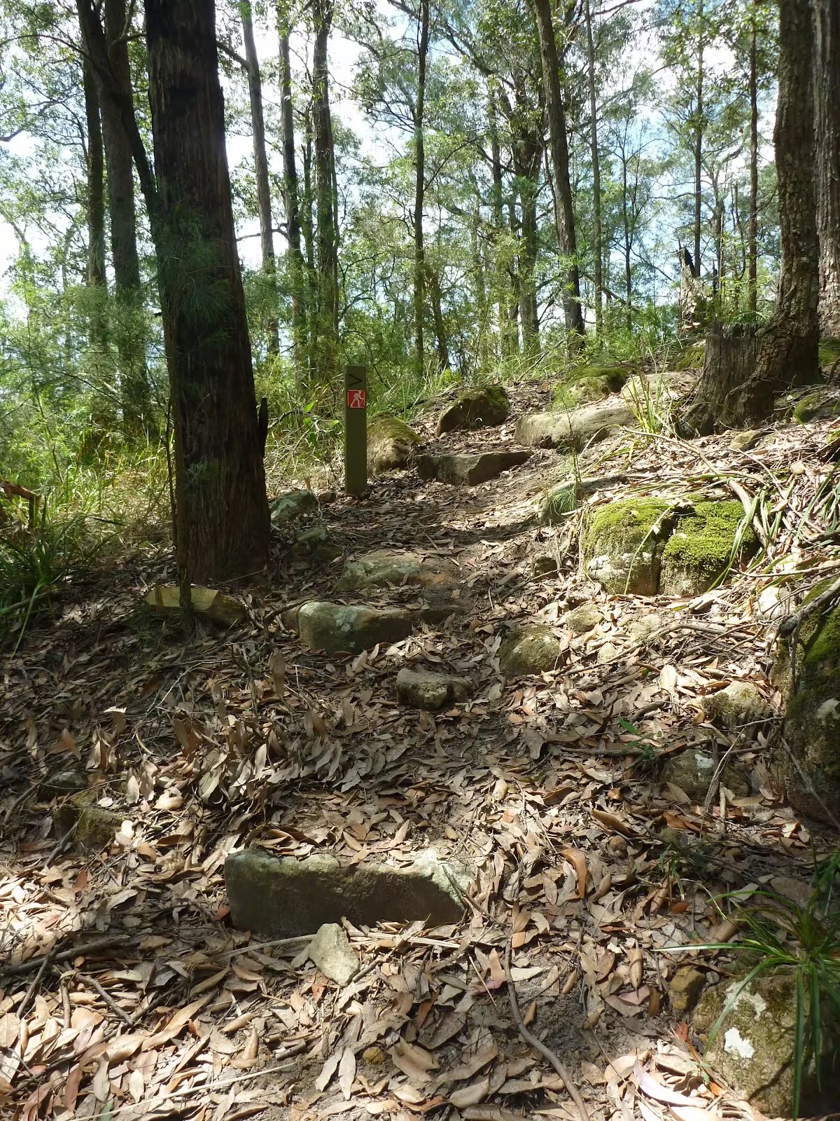
| Signage | Directional signs along the way (3/6) |
| Infrastructure | Limited facilities, not all cliffs are fenced (3/6) |
| Experience Required | Moderate level of bushwalking experience recommended (4/6) |
| Weather | Weather generally has little impact on safety (1/6) |
| Item | From Start | Name & link to notes |
|---|---|---|
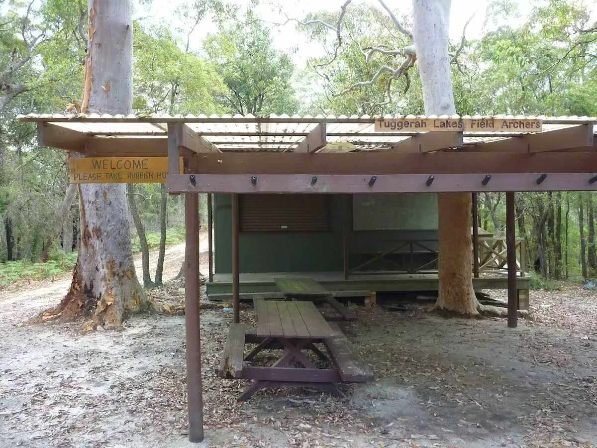
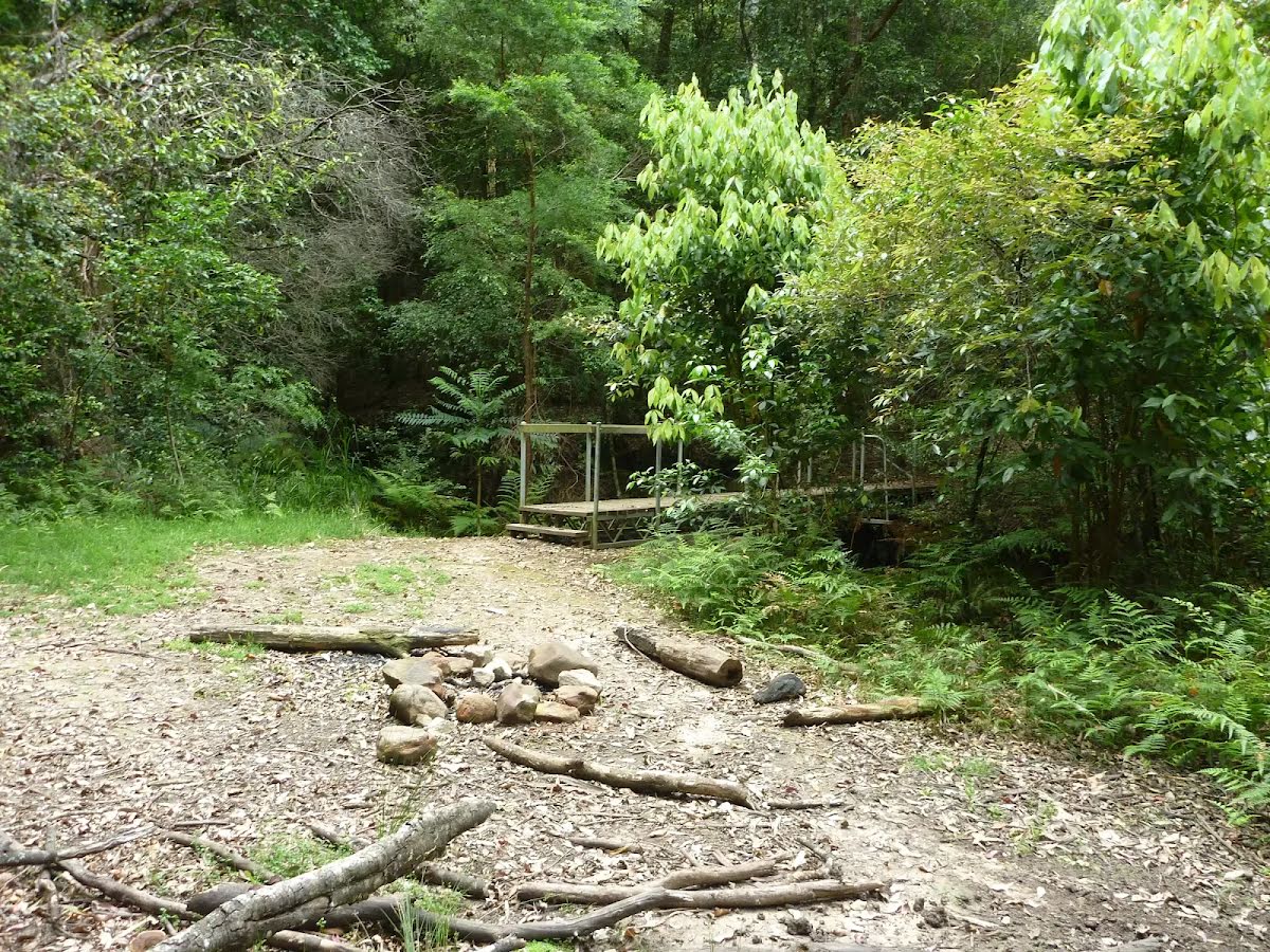
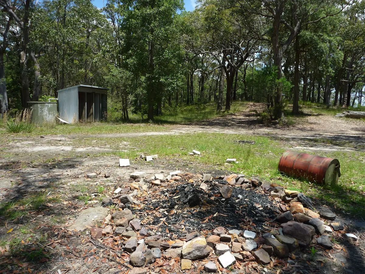
Campsite
| 5.6 km | Tooheys Road campsite |
Campsite
| 6.3 km | Stringy Bark Point |
Campsite
| 10.1 km | Campsite |
Campsite
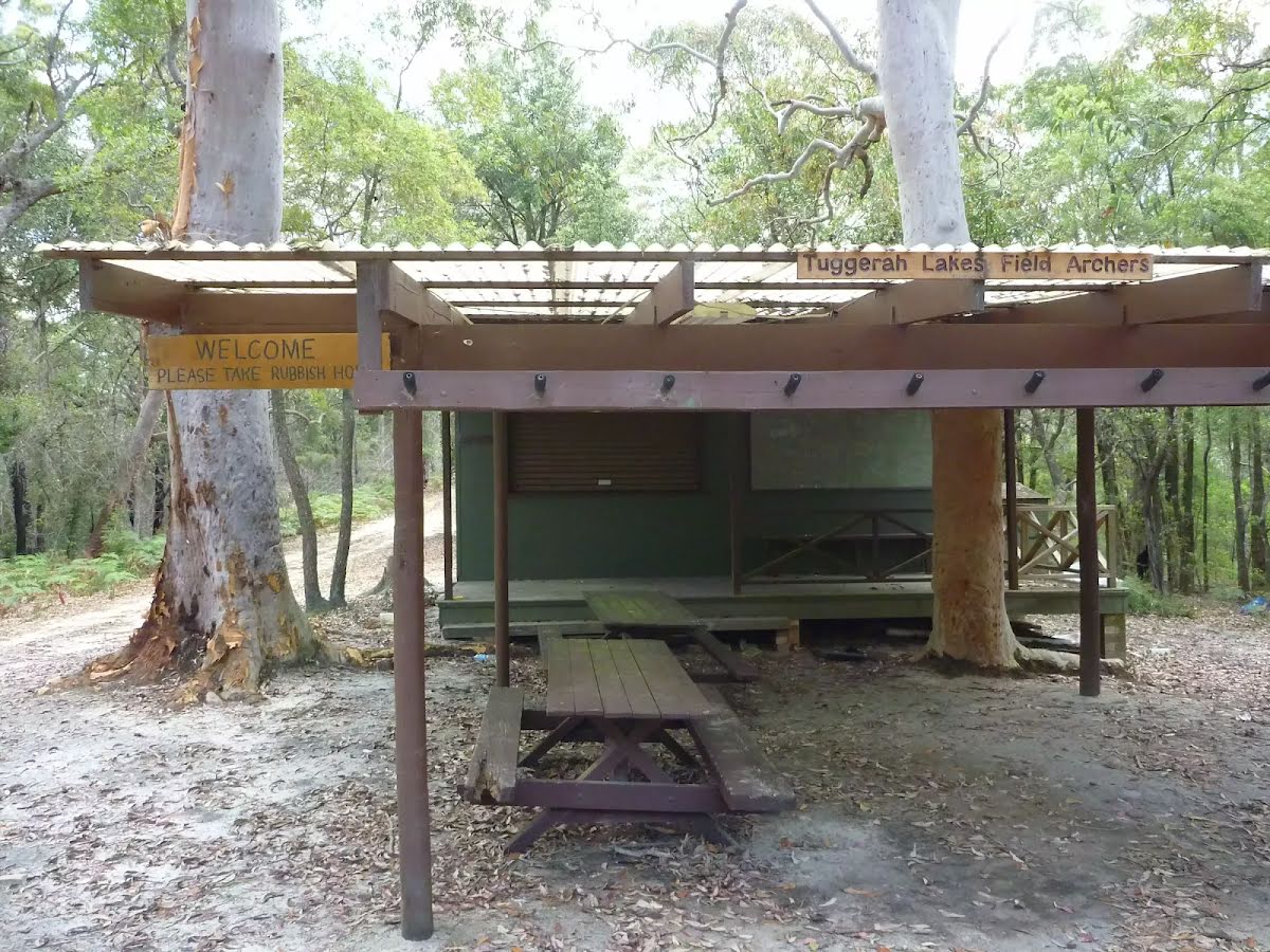
| 10.1 km | Archers Campsite |
Accommodation
| 11 km + 1.5 km | Forest Park Country Retreat |