
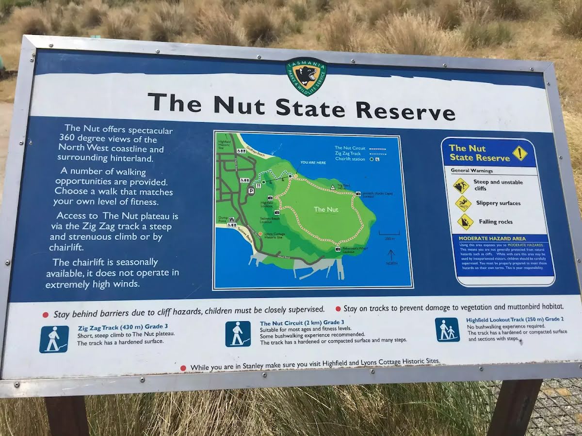
| Start | At the intersection of Browns Road & The Nut Access Track (-40.76196,145.2977381) |
| Mode | Car |
| Directions | From Bass Highway, A2
|

|
|
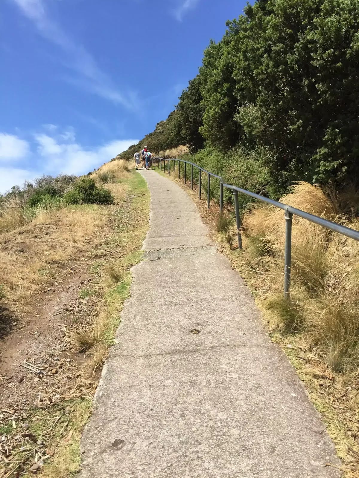
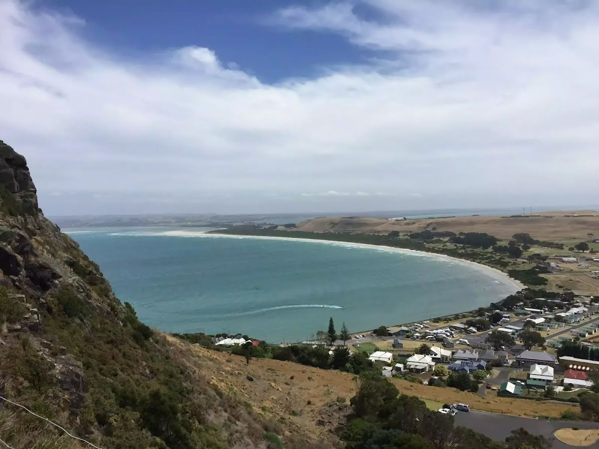
Class 3/6 Moderate track |
|---|---|
| Length | 2.8 km |
| Time | 1 h to 1 h 30 min |
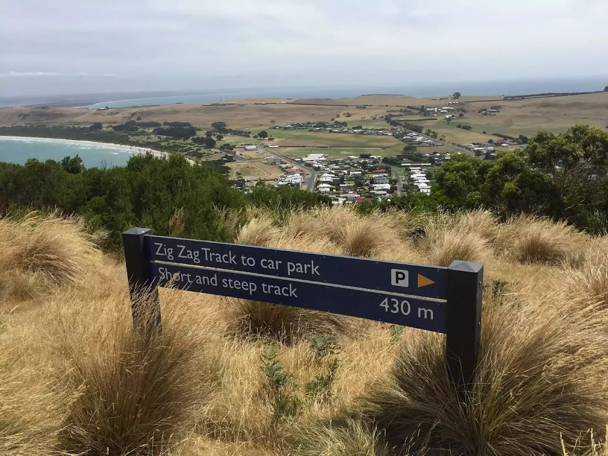
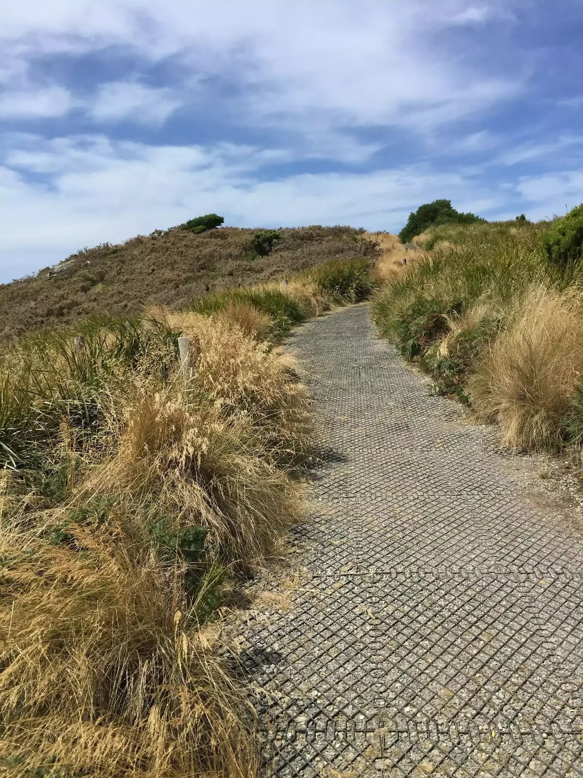
| Quality of track | Clear and well formed track or trail (2/6) |
| Gradient | Short steep hills (3/6) |
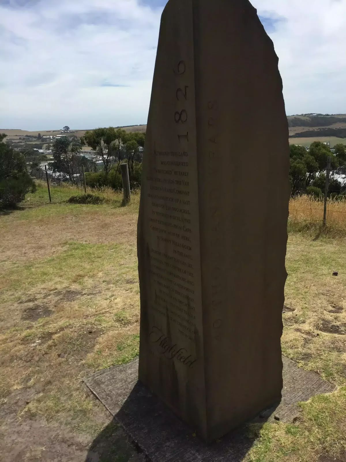
| Signage | Clearly signposted (2/6) |
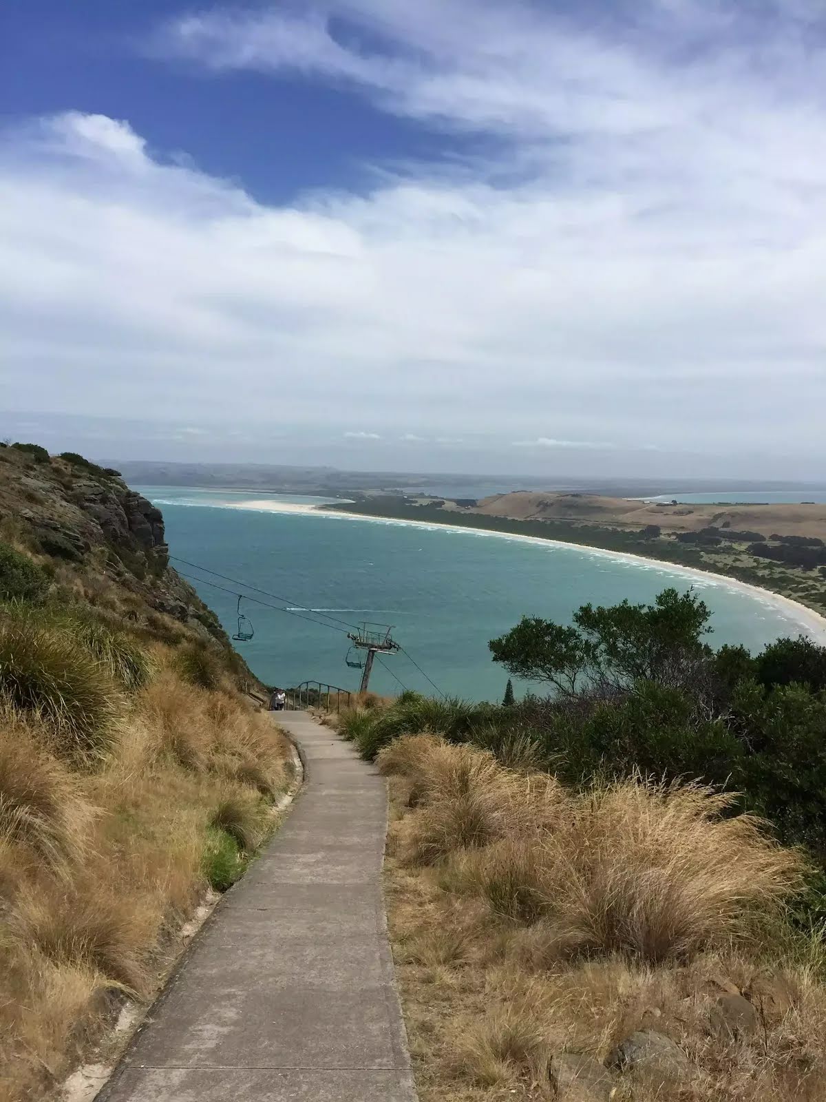
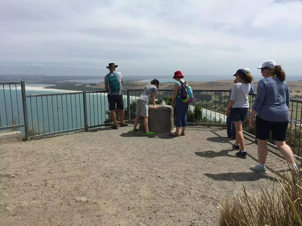
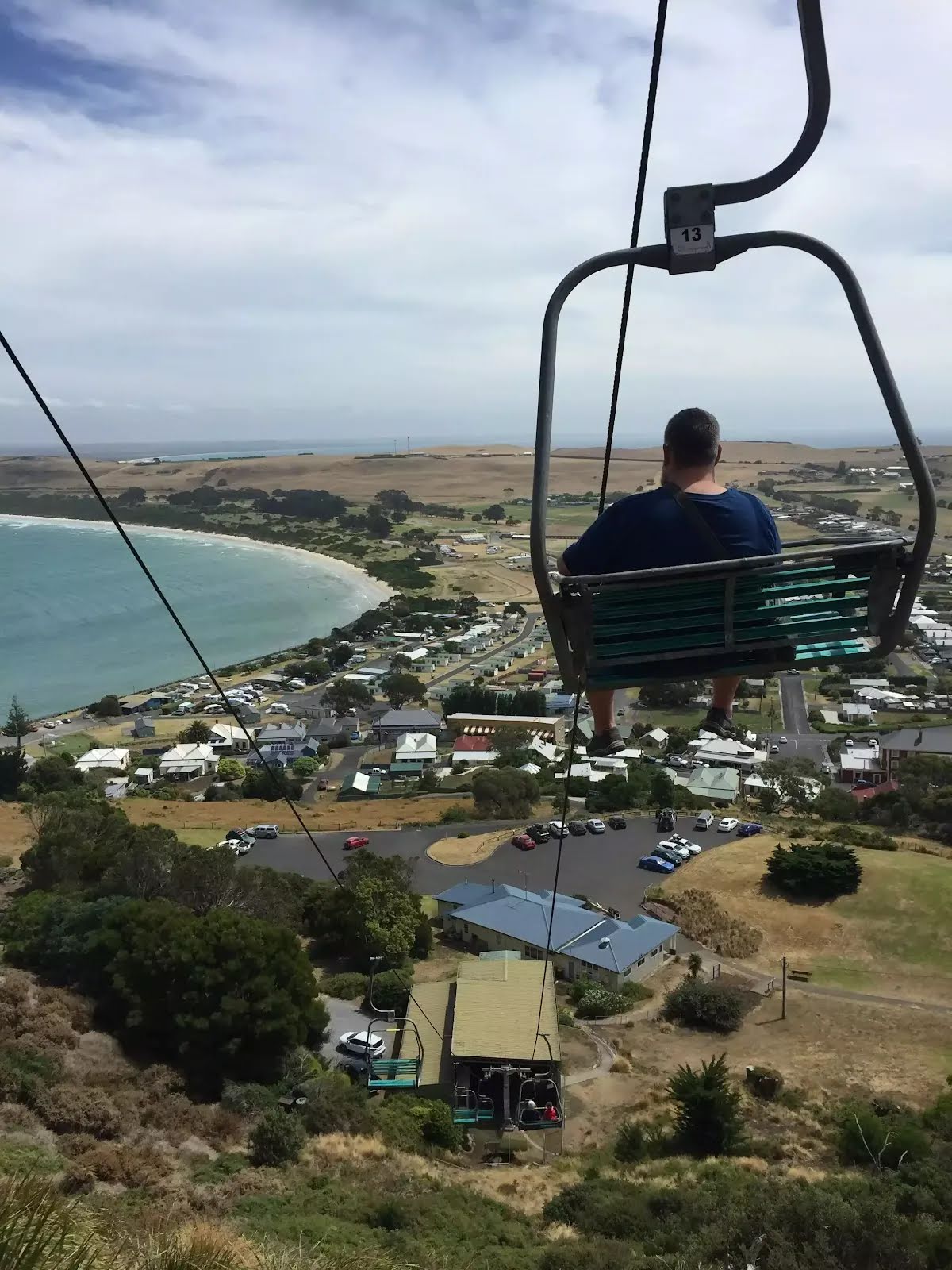
| Infrastructure | Generally useful facilities (such as fenced cliffs and seats) (1/6) |
| Experience Required | No experience required (2/6) |
| Weather | Weather generally has little impact on safety (2/6) |
| Item | From Start | Name & link to notes |
|---|---|---|
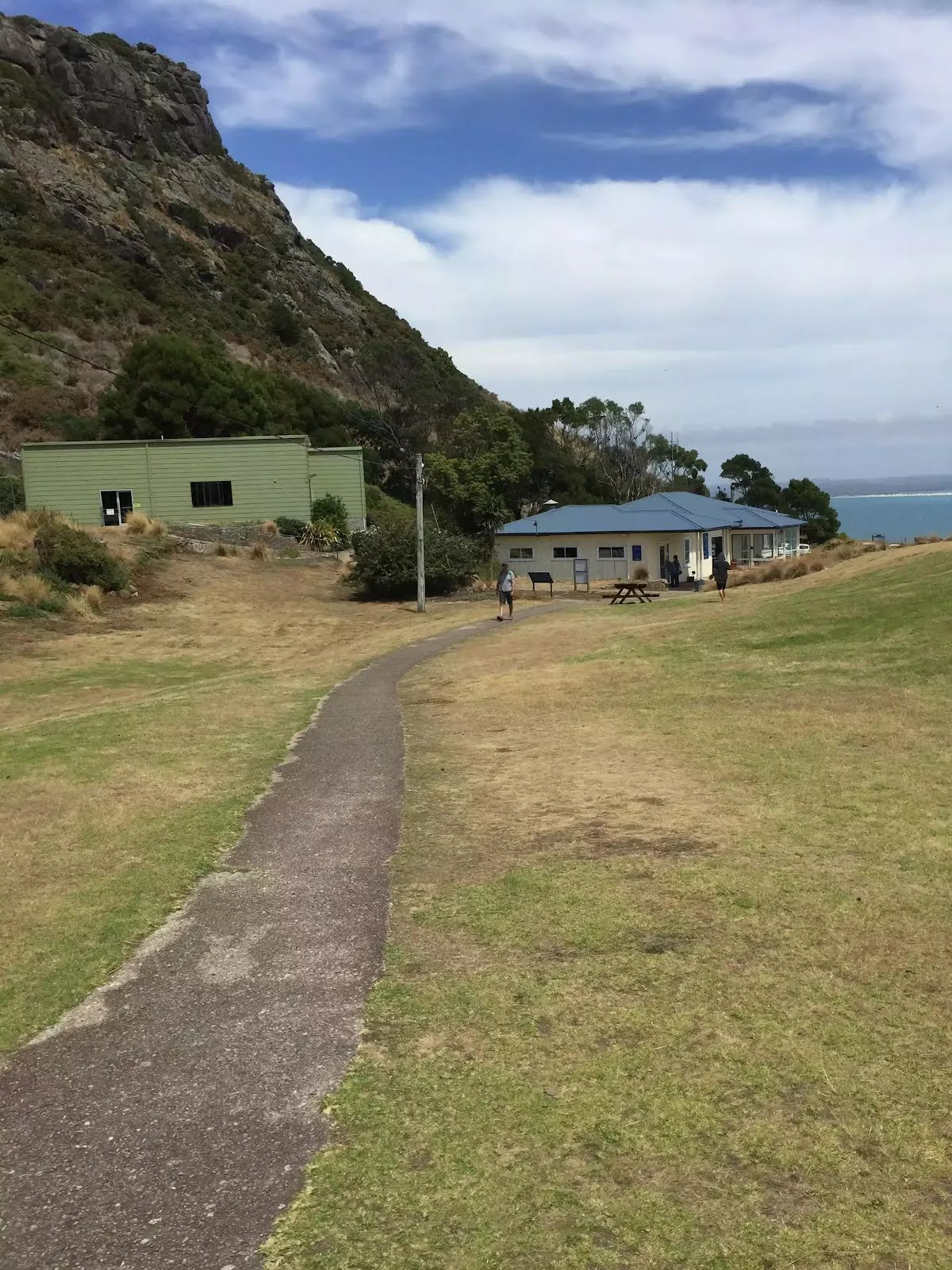
Toilet
| 1 m | [toilet] |
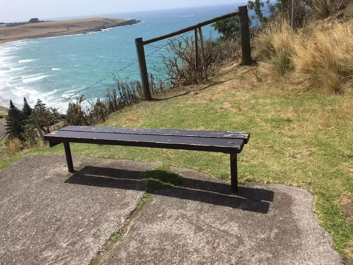
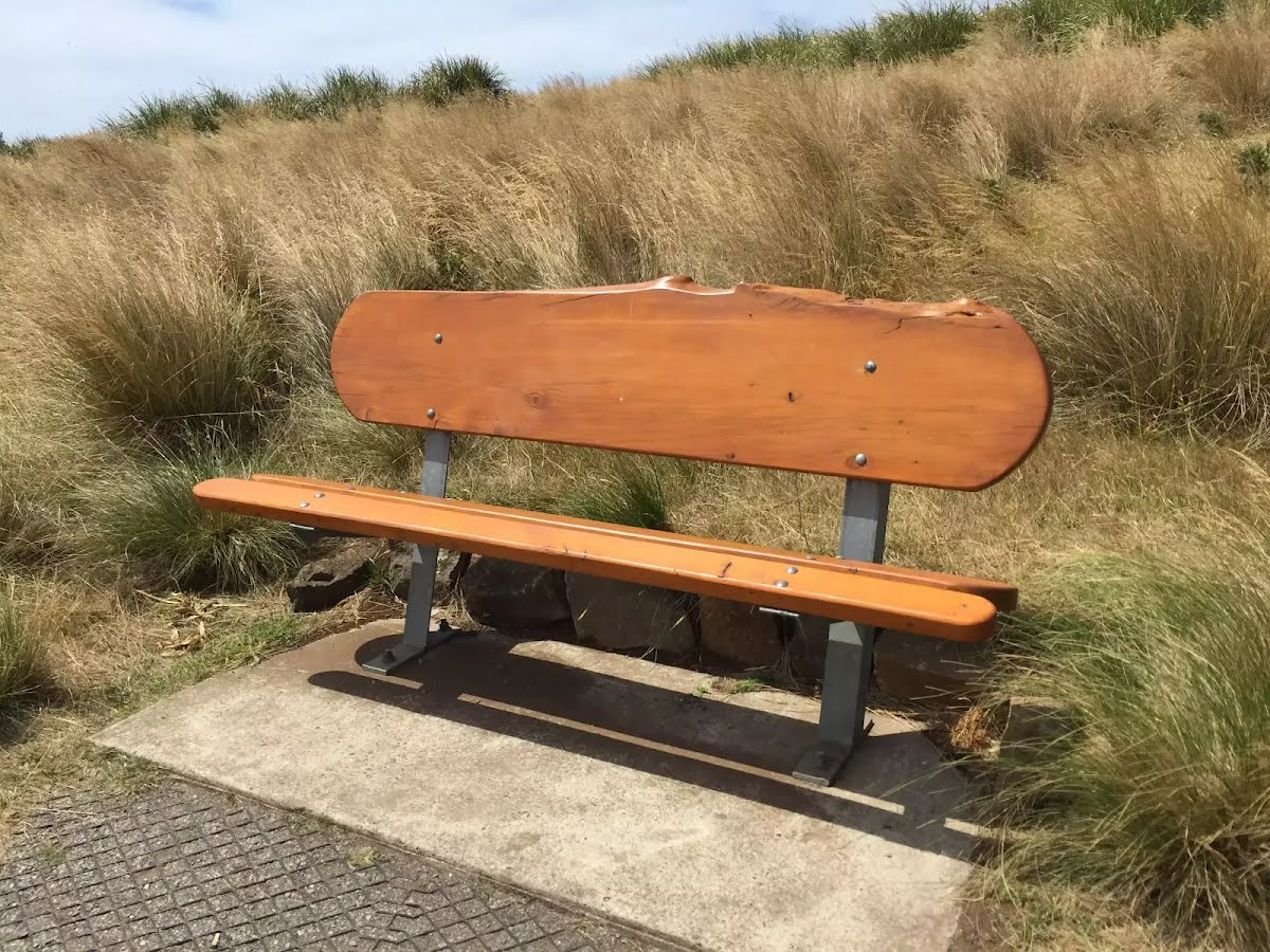
Seat
| 230 m | [seat] |
Seat
| 420 m | [seat] |
Seat
| 580 m | [seat] |


