| Start | (-33.4920915,151.2569603) |
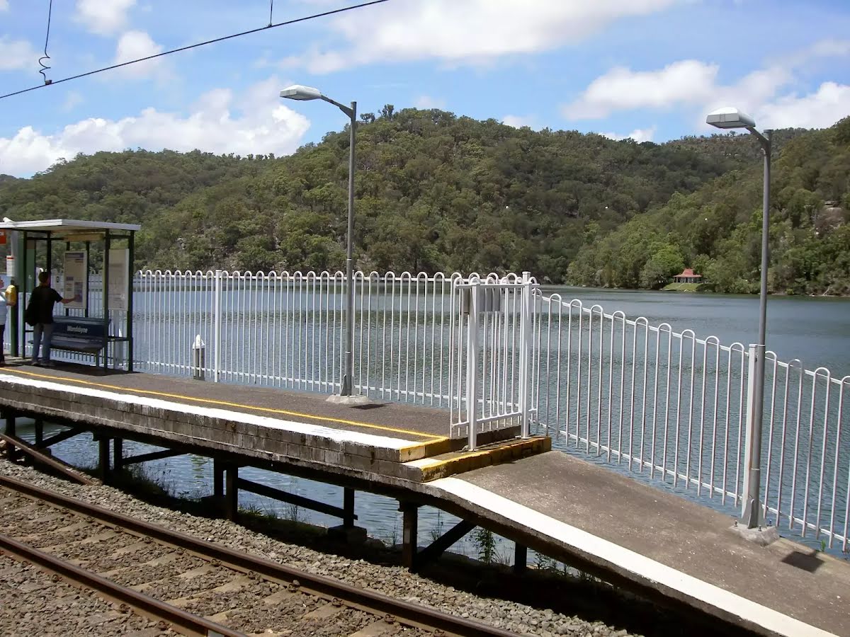
| Mode | Special (Even when timetabled trains only stop at Wondabyne Station when passengers have requested the stop. Let the train guard know you want to get off at Wondabyne Station as you get on the train. Travel in the last carriage and exit from the last doors as the platform is very short. To catch the train from Wondabyne, wave to the driver so they know to stop. This is remote train station, there is no road access. Access by foot, boat or train only.) Train |
| Turn map | Directions & comments |
|---|---|
 |
|
 |
|
 |
After another 960 m (at the intersection of Rifle Range Firetrail & Pindar Walking Track) turn left, to head along Pindar Walking Track.
|
 |
The starting point of an optional sidetrip. An optional side trip to Pindar Waterfall. To start this optional side trip veer right here. On returning from this side trip turn right when you get back to this intersection. Details below.
Continue another 250 m to find the end. Then turn around here and retrace the main route for 5.7 km to get back to the start.
|
| Turn map | Directions & comments |
|---|---|
 |
|
 |
|
 |

|
|
Class 5/6 Very challenging |
|---|---|
| Length | 11.5 km |
| Time | 4 h, 6 h to 2 days |
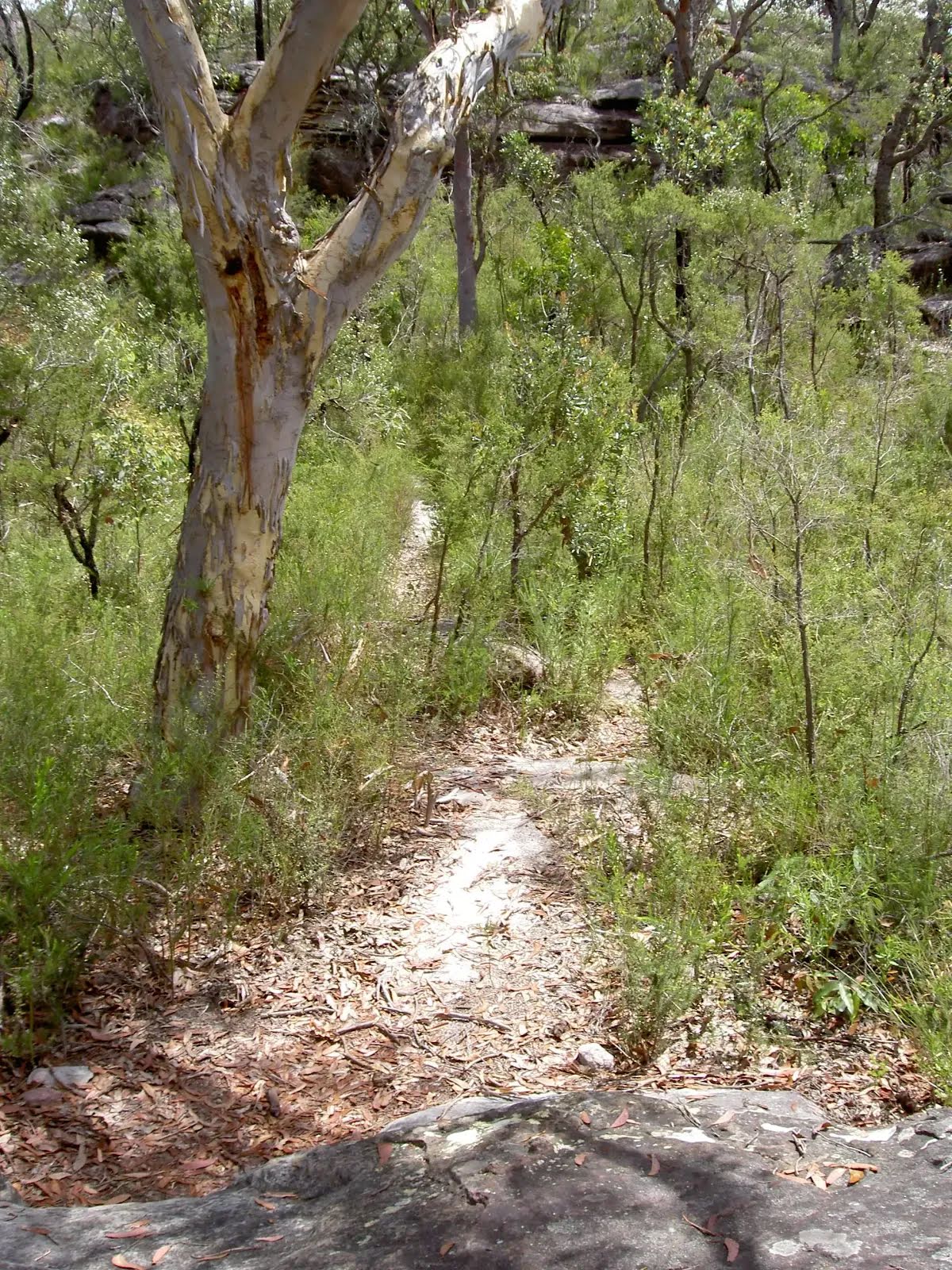
| Quality of track | Rough unclear track (5/6) |
| Gradient | Very steep (4/6) |
| Signage | No directional signs (5/6) |
| Infrastructure | No facilities provided (5/6) |
| Experience Required | Some bushwalking experience recommended (3/6) |
| Weather | Storms may impact on navigation and safety (3/6) |