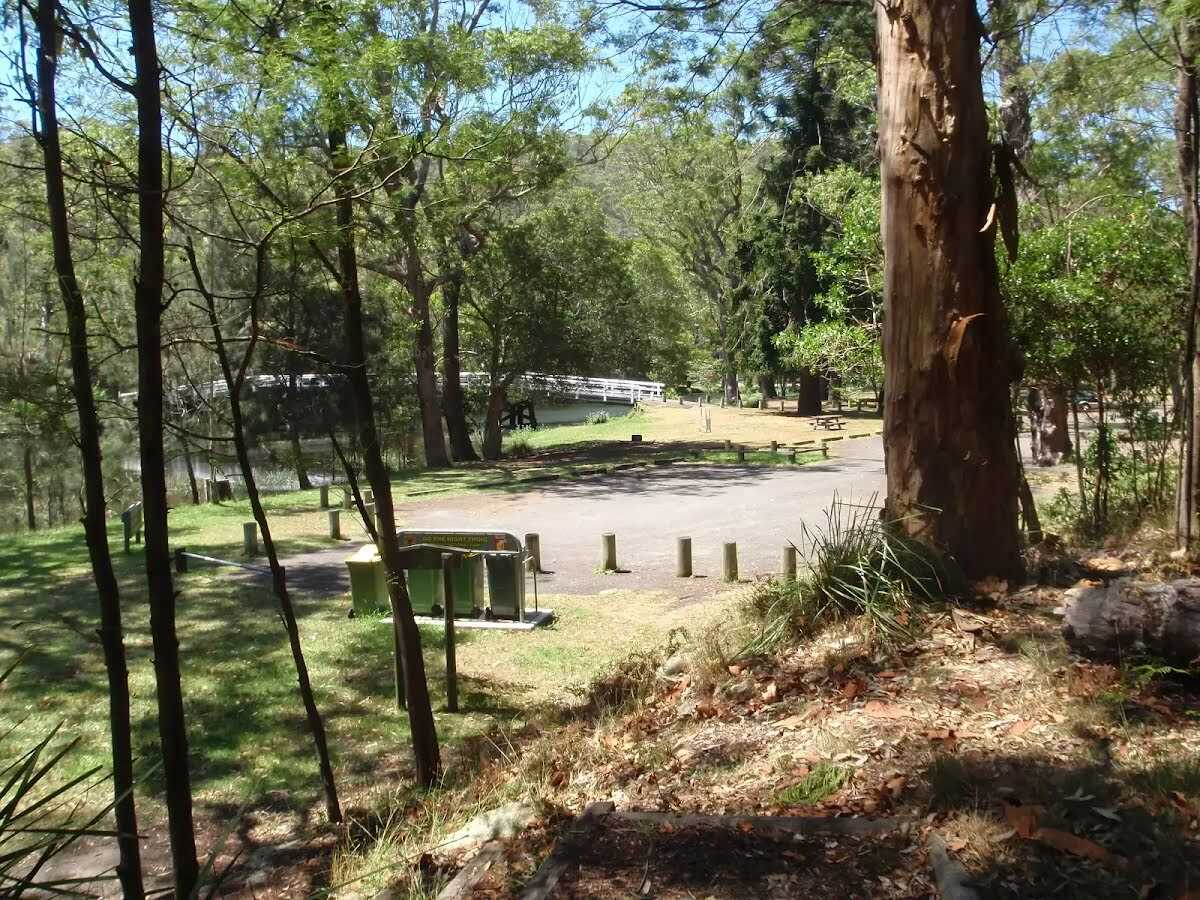
From the Royal National Park Centre, this walk crosses the Hacking River before rising steeply up onto the ridge to fantastic views of the Hacking River. If you look into the distance you can see Cronulla on the horizon at the highest points. Towards the end of the circuit, with good views of the surrounding bushland, the track descends to the river and back to the visitor centre. Let us begin by acknowledging the Dharawal people, Traditional Custodians of the land on which we travel today, and pay our respects to their Elders past and present.
Some of the information and maps on this page was generated using data from the awesome
© OpenStreetMap contributors.
Please see how you can
embed some widgets, access data and other stuff to that might be helpful.