


| Start | (-33.4319388,151.2765593) |
| Mode | Car (A park entry fee is required for driving into the park.) |
| Directions | From Woy Woy Road
|
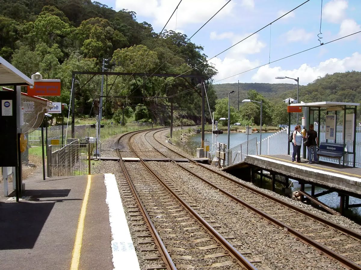
| Finish | (-33.4920915,151.2569603) |
| Mode (end) | Train |
| Turn map | Directions & comments |
|---|---|
 |
|
 |
|
 |
|
 |
After another 40 m (at the intersection of Girrakool Loop Track & Piles Creek Loop) turn left, to head along Piles Creek Loop.
|
 |
|
 |
|
 |
|
 |
|
 |
|
 |
|
 |
|
 |
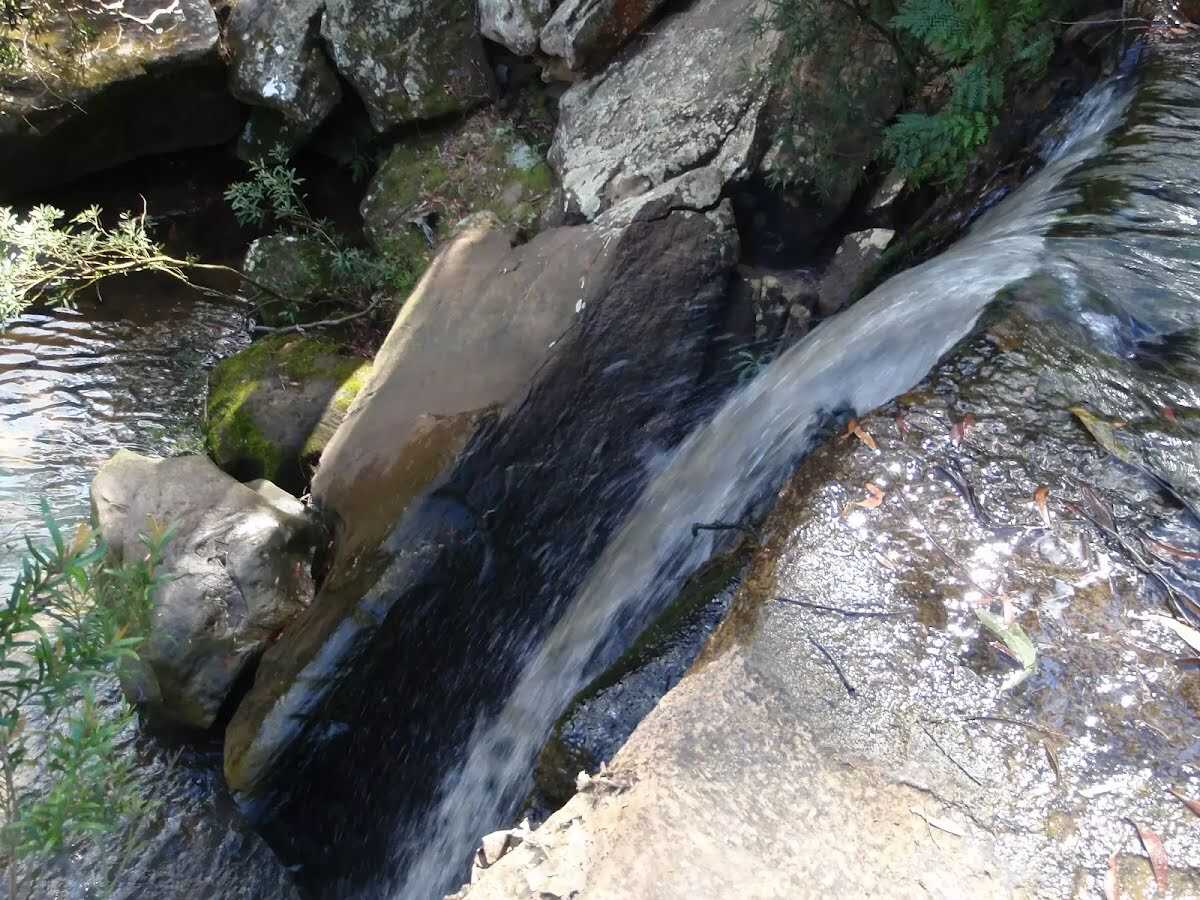
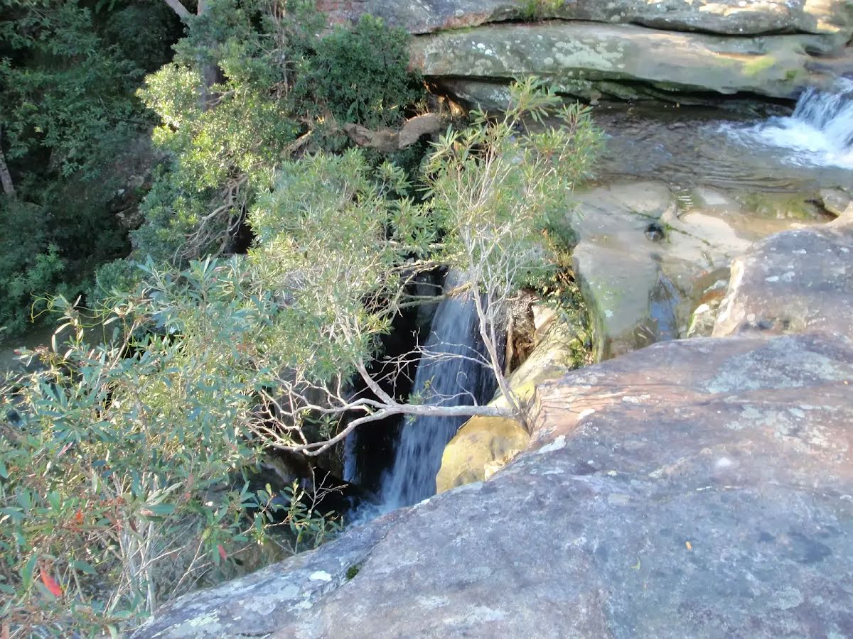
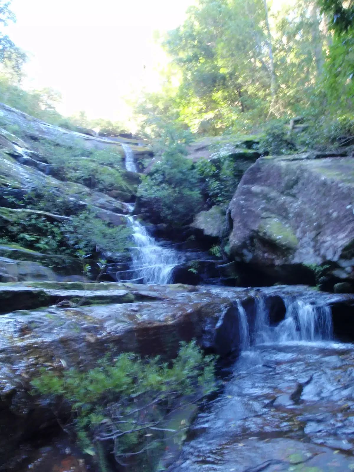
The starting point of an optional sidetrip. An optional side trip to Waterfall. To start this optional side trip veer right here. On returning from this side trip turn right when you get back to this intersection. Details below.
|
 |
|
 |
|
 |
|

|
|
Class 5/6 Very challenging |
|---|---|
| Length | 17.8 km |
| Time | 6 h 30 min to 7 h 30 min |
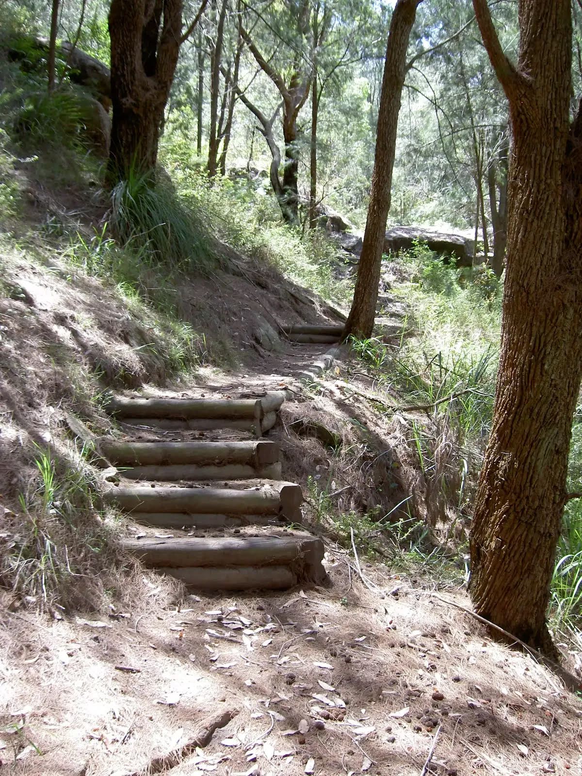
| Quality of track | Rough unclear track (5/6) |
| Gradient | Very steep (4/6) |
| Signage | No directional signs (5/6) |
| Infrastructure | Limited facilities (such as cliffs not fenced, significant creeks not bridged) (4/6) |
| Experience Required | Moderate level of bushwalking experience recommended (4/6) |
| Weather | Storms may impact on navigation and safety (3/6) |
| Item | From Start | Name & link to notes |
|---|---|---|
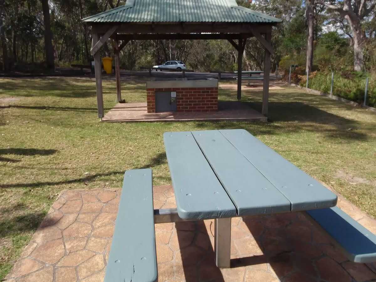
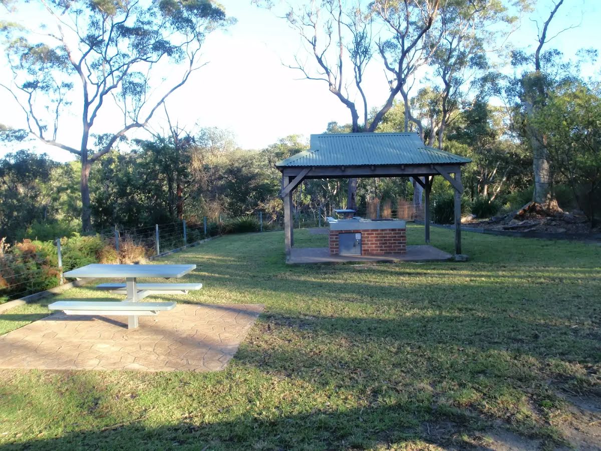
Toilet
| 50 m | [toilet] |