| Start | (-33.1862367,151.6279294) |
| Mode | Car (A park entry fee is required for driving into the park.) |
| Directions | From Pacific Motorway Onramp
|
| Turn map | Directions & comments |
|---|---|
 |
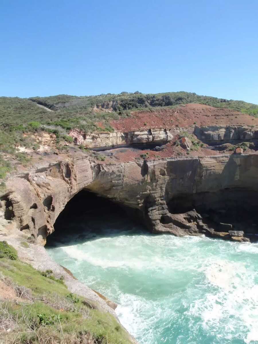 The Snapper Point Cave Lookout is on the northern side of Snapper Point car park (at the end of Snapper Point Rd). The fenced lookout enjoys views over a large inlet with a Frazer Blowhole and the large sea cave. The cave was mined for pebbles during 1975/76. Now protected as part of the State Conservation Area, the cave and this inlet stands as a monument to the struggle of power between the sea and the rocks.
|
 |
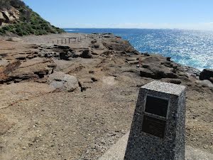
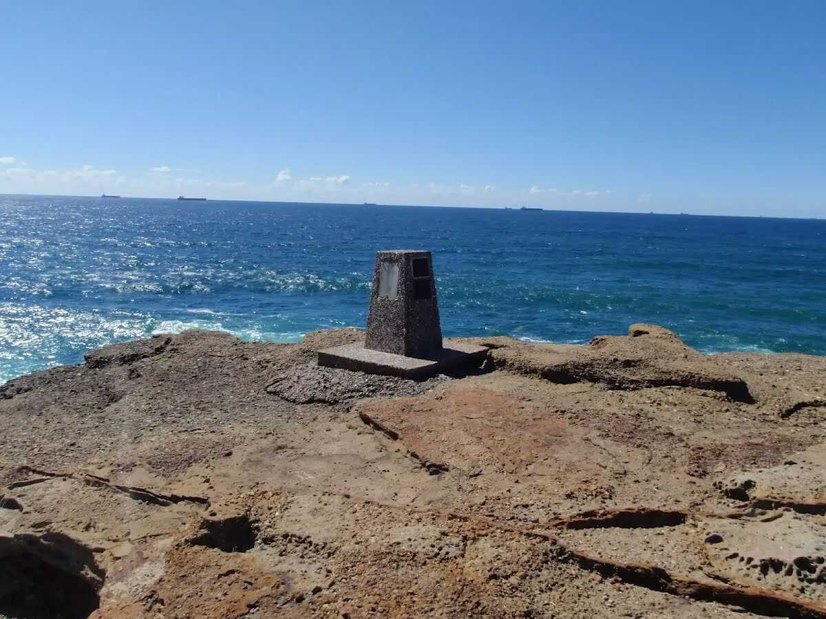
The starting point of an optional sidetrip. An optional side trip to Snapper Point Memorial. To start this optional side trip continue straight here. On returning from this side trip turn left when you get back to this intersection. Details below.
|
 |
|
 |
Continue another 130 m to find the end. Then turn around here and retrace the main route for 310 m to get back to the start.
 Snapper Point Beach is an informally named beach, just north of Frazer Beach and south of Snapper Point. The deep south-west facing sandy beach has a rock platform either side. Some rusted rubbish has washed up on the beach but otherwise the beach feels remote and secluded. Access to the beach is possible along the rocky shore line, but only during low tides and low seas.
|

|
|
Class 5/6 Very challenging |
|---|---|
| Length | 620 m |
| Time | 15 min to 30 min |
| Quality of track | Rough unclear track (5/6) |
| Gradient | Short steep hills (3/6) |
| Signage | No directional signs (5/6) |
| Infrastructure | Limited facilities, not all cliffs are fenced (3/6) |
| Experience Required | High level of bushwalking experience recommended (5/6) |
| Weather | Forecasted & unexpected severe weather likely to have an impact on your navigation and safety (5/6) |